We use necessary cookies to make the website work, also they are used to understand site usage and make improvements.
Accept
Reject
Explore
Hiking Map
Ski Touring Map
Snow Report
Mountain Panoramas
Identify Mountains
Places
Where to Go
Mountain Huts
Ski Resorts
Climbing Areas
Read
News
Ski Touring Articles
Paths of Inspiration
Mountain Pulse
PeakVisor
PeakVisor App
PeakVisor PRO
Gift PRO
API
About PeakVisor
Contact Us
Sign In
explore mountains
Find huts in
Austria
Carinthia
Spittal an der Drau
Explore region
Carinthia
·
Spittal an der Drau
Wilderness hut
Schedule unknown
2 320 m
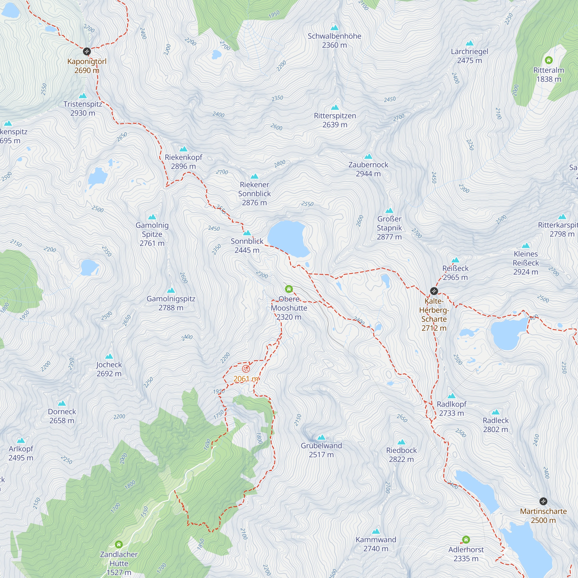
Obere Mooshütte
Check-in & Feedback
46.94430
N
13.33956
E
About
Trails
Mountain Conditions
Tourist information
Nearest Mountain
Lifts
Nearest Mountain Lifts
Check-ins
Check-in & Feedback
Mountain Huts
Nearby
Zandlacher Hütte
3.5 km
·
1 527 m
Reisseckhütte
4.1 km
·
2 287 m
Gießener Hütte
5.4 km
·
2 215 m
Arthur-von-Schmid-Haus
7.4 km
·
2 281 m
Stranighütte
8.0 km
·
1 489 m
Gmünder Hütte
10.3 km
·
1 186 m
Friedls Fisch- und Radlertreff
10.4 km
·
571 m
Bergfriedhütte
11.4 km
·
1 800 m
Gasthof zur Hohenburg
11.5 km
·
967 m
Wolliggerhütte
11.6 km
·
1 576 m
Schwussnerhütte
12.0 km
·
1 330 m
Osnabrücker Hütte
12.3 km
·
2 022 m
Almgasthaus Himmelbauer
13.0 km
·
1 278 m
Kattowitzer Hütte
13.3 km
·
2 320 m
Salzkofelhütte
13.3 km
·
1 987 m
Da Graf
13.6 km
·
971 m
Schi-Circus
14.0 km
·
1 278 m
Jausenstation Raineralm
14.2 km
·
1 270 m
Hannoverhaus
14.3 km
·
2 565 m
Berghotel Malta
14.9 km
·
1 925 m
Frido-Kordon-Hütte
15.5 km
·
1 649 m
Kölnbreinstüberl
15.6 km
·
1 922 m
Mindener Hütte
16.6 km
·
2 431 m
Mailänderhof
16.6 km
·
898 m
Explore the Region
All mountain huts in Carinthia
50 nearby
Mountains of Carinthia
Mountains of Spittal an der Drau
Alps range
Western Tauern Alps range
×
Check-ins, Feedbacks and Summit Register
Check-in & Feedback
Congrats on this visit. Add a quick note while the details are still fresh.
Mountain hut
*
Date
*
Write a couple of words about your visit
Photo
+
Ready to attach to your check-in.
PeakVisor for iOS and Android
Be a superhero of outdoor navigation with state-of-the-art 3D maps and mountain identification in the palm of your hand!
Scan the QR code to download PeakVisor mobile app