
 Mountain hut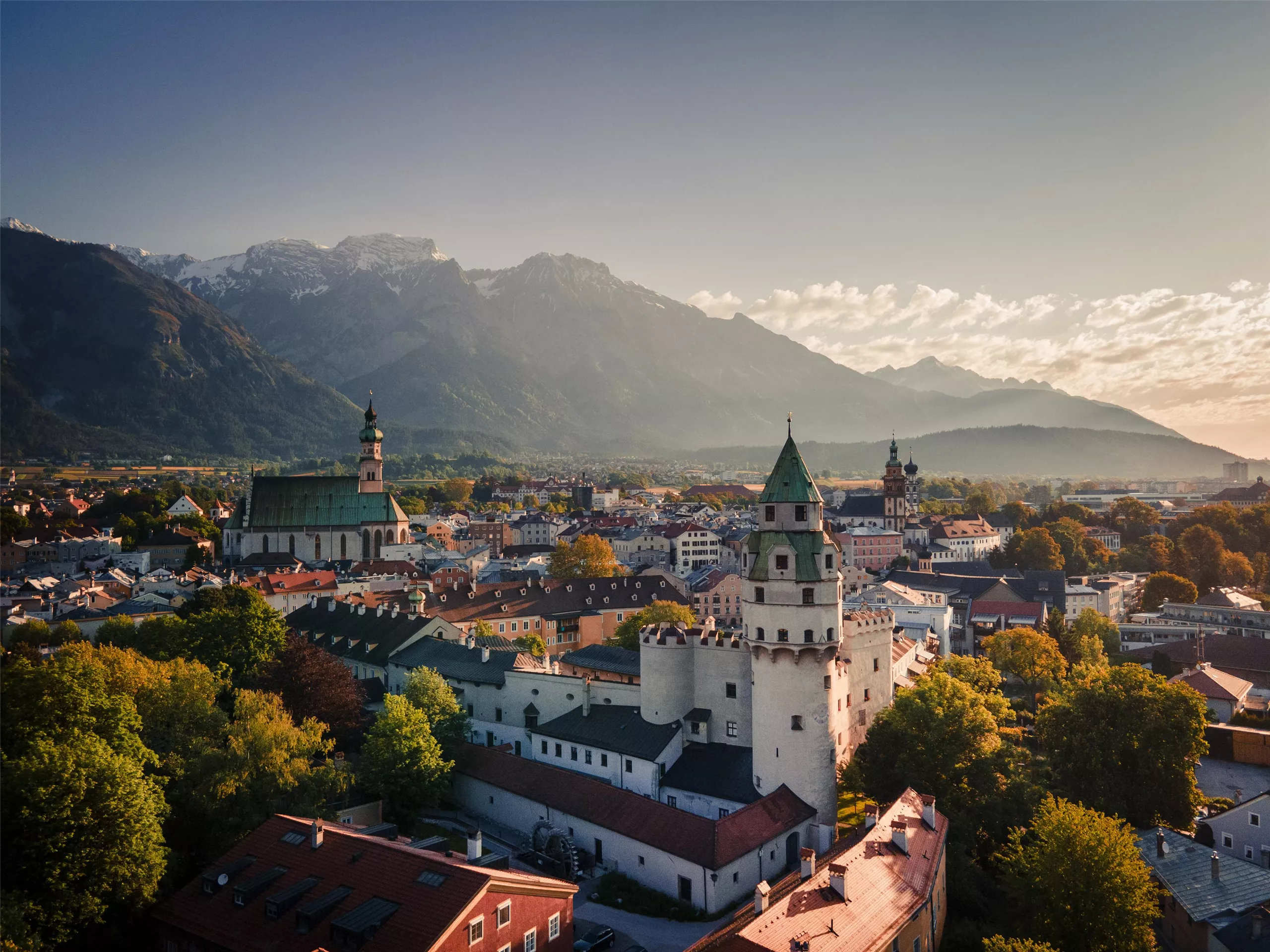
 Historic site




Curated by Region Hall-Wattens
Wattenberg
A steep, sunny slope settlement above Wattens at over 1000 m, the road ending in the Wattental below the Lizumer Hütte in the Tuxer Alps.
Photo: Haneburger
- 1Highlights
- 22Routes
- Featured summit · Glungezer
Highlights
14 from neighbouring places
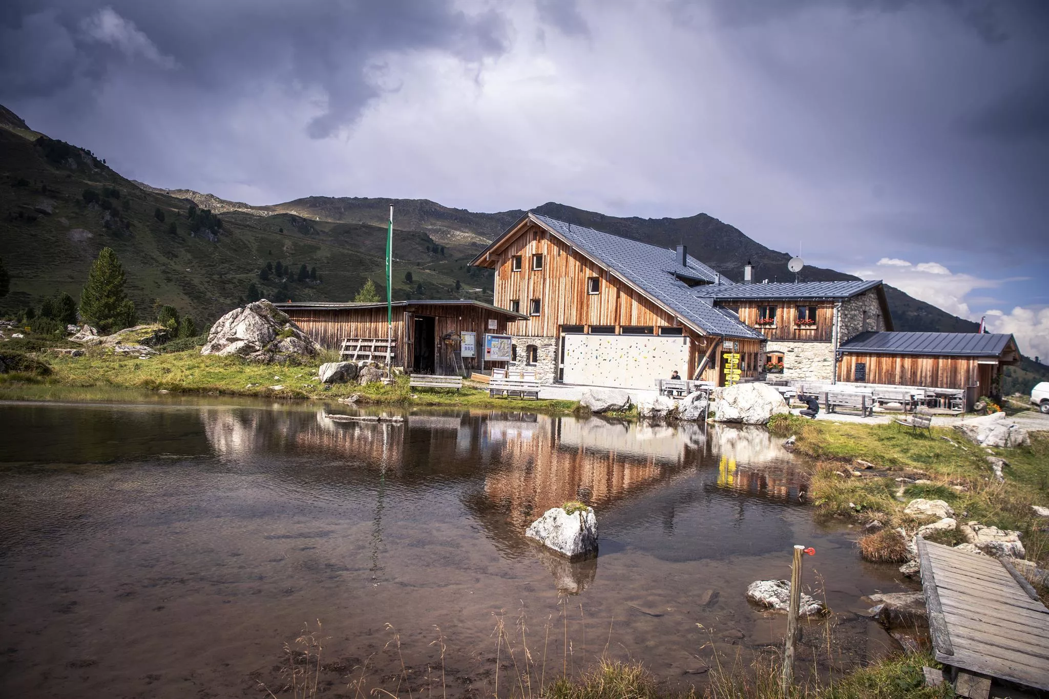
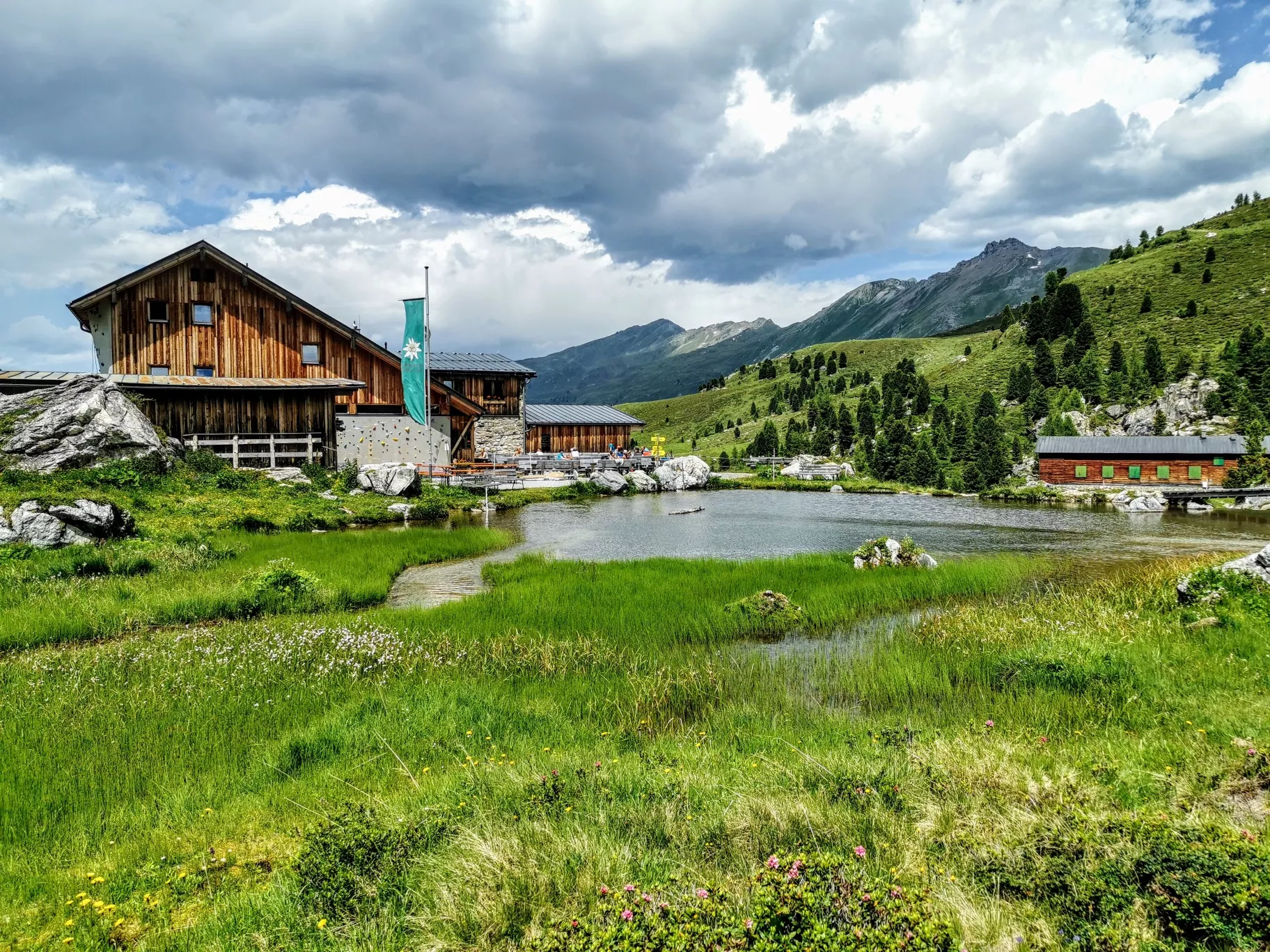
Lizumer Hütte
An alpine club hut at the head of the Wattental in the Tux Alps, a base for ski tours and summer walks around the Lizum basin south of Wattens.
Altstadt Hall in Tirol
6.2 km away, in Volders
The medieval old town of Hall in Tirol, a dense web of lanes, squares and Gothic and baroque buildings that grew wealthy on salt mining and coin minting.
Naviser Hütte
8.1 km away, in Navis
A mountain hut in the Navis valley above the village of Navis, a destination for walkers in summer and tobogganers and ski tourers in winter.
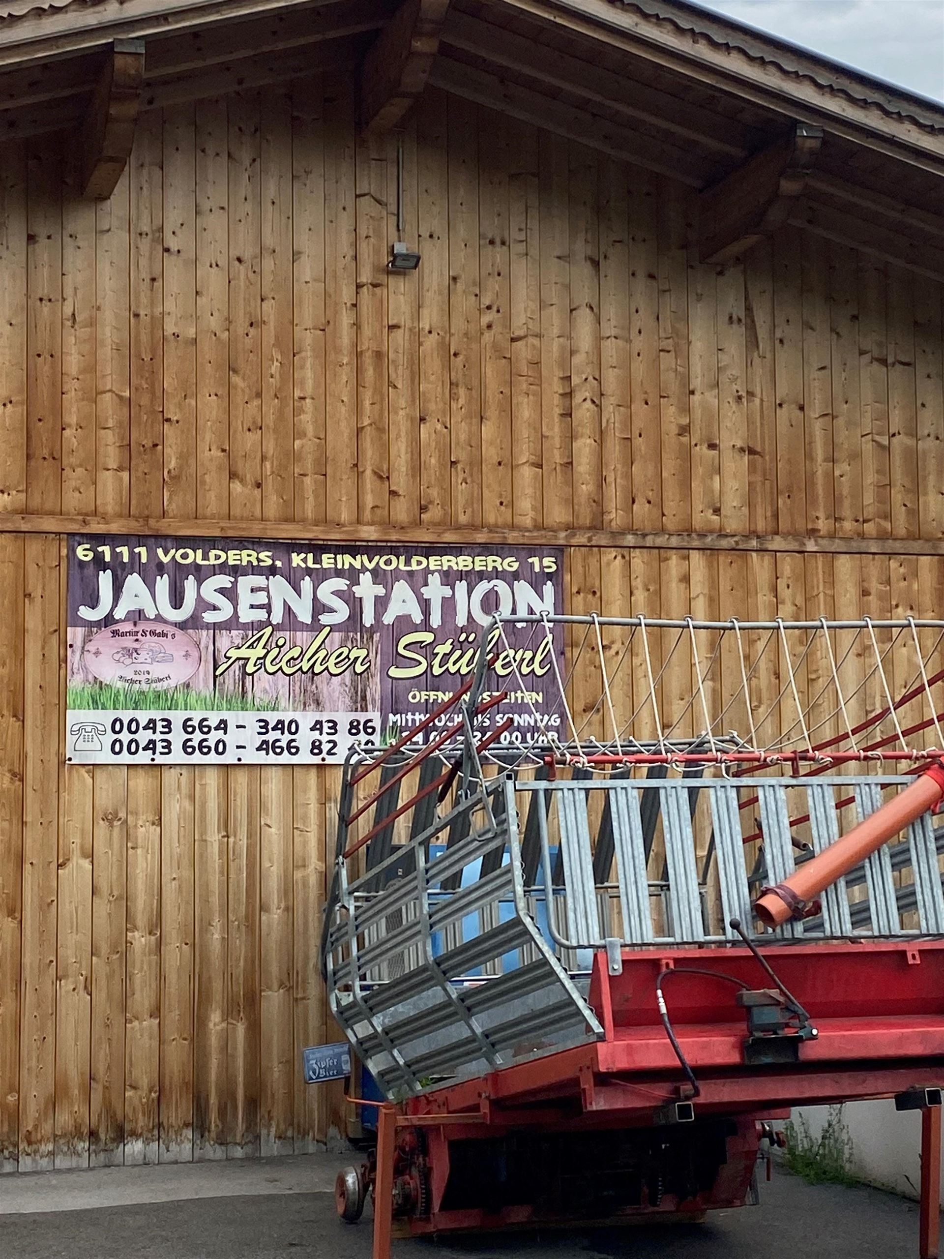
Jausenstation Aicherstüberl
9.2 km away, in Volders
A snack station above Volders serving cold platters and home cooking to walkers on the low paths between the Inn valley villages.
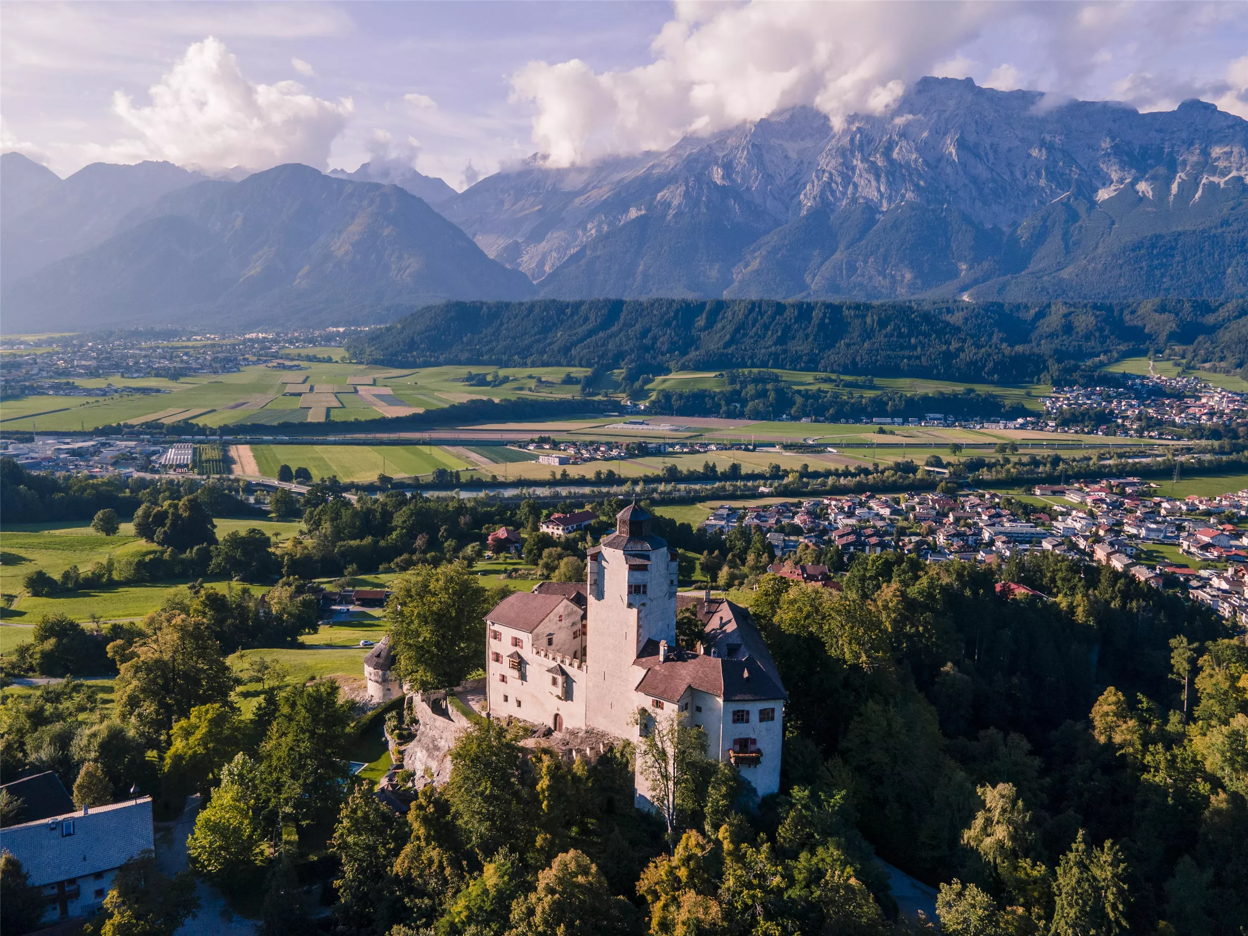
Schloss Friedberg
9.3 km away, in Volders
A medieval hilltop castle above Volders in the Inn valley, in private hands for centuries and occasionally opened for guided visits.
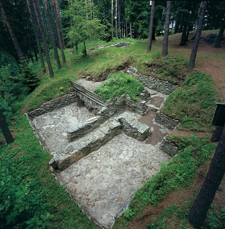
Rätersiedlung Himmelreich Wattens
9.5 km away, in Volders
An open-air archaeological site at Wattens preserving remains of an Iron Age Rhaetian settlement on the Himmelreich terrace above the Inn valley.
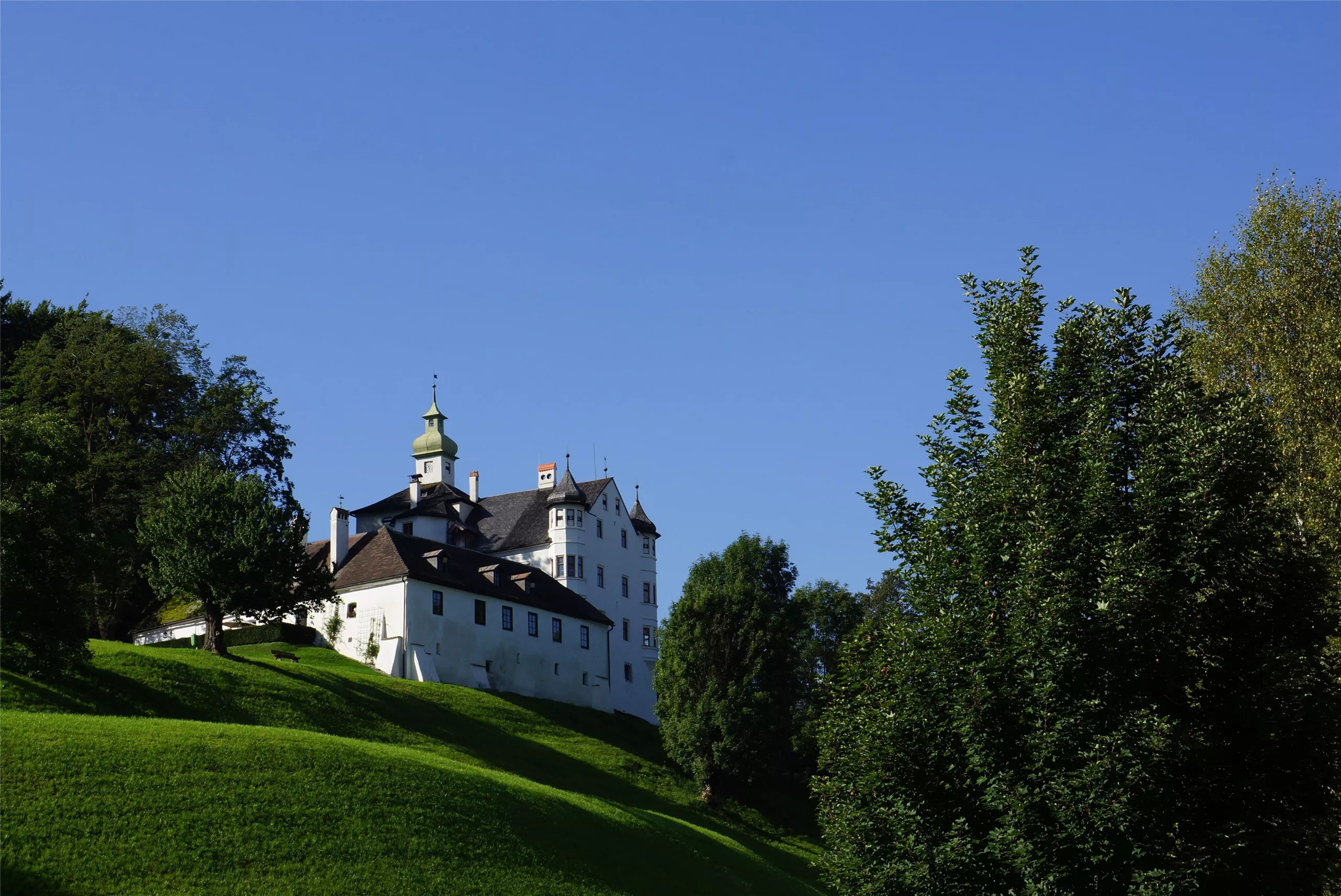
Schloss Aschach
9.6 km away, in Volders
A castle at Volders in the Tyrolean Inn valley, one of a cluster of historic noble seats between Hall in Tirol and Wattens.
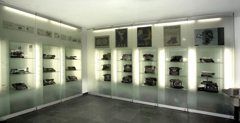
Schreibmaschinenmuseum
9.7 km away, in Wattens
A museum in Wattens devoted to typewriters, displaying a collection of historic writing machines gathered from many countries.
Swarovski Kristallwelten Wattens
9.9 km away, in Wattens
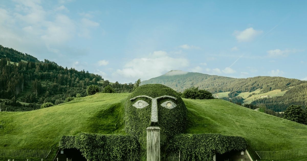
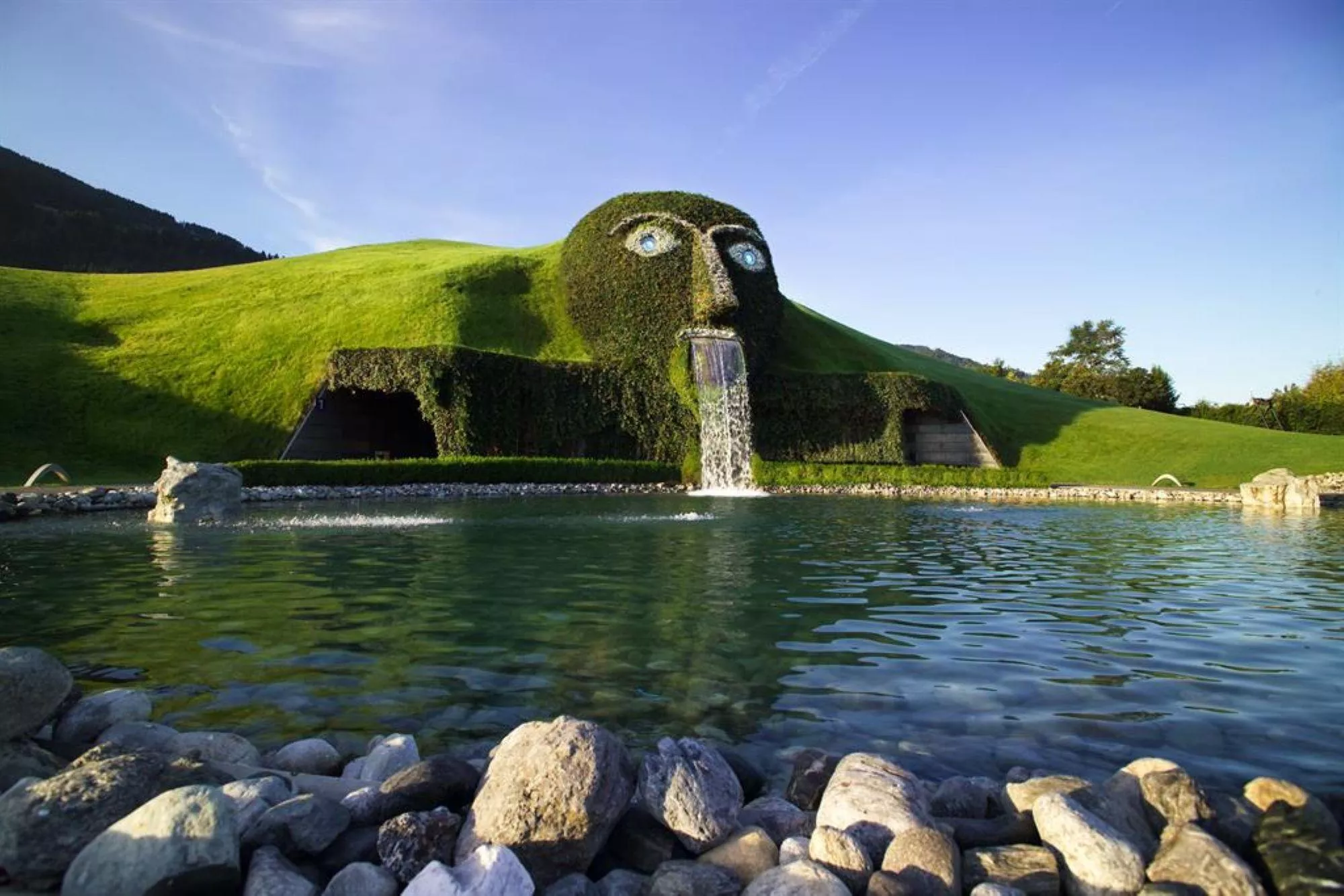
A crystal-themed attraction beside the Swarovski works in Wattens, opened in 1995, with artist-designed Chambers of Wonder and a garden around the giant's head.
Swarovski Kristallwelten
9.9 km away, in Wattens
The Swarovski Kristallwelten at Wattens, an art and crystal experience world opened in 1995 around André Heller's grass-covered giant.
Museum Wattens
9.9 km away, in Wattens
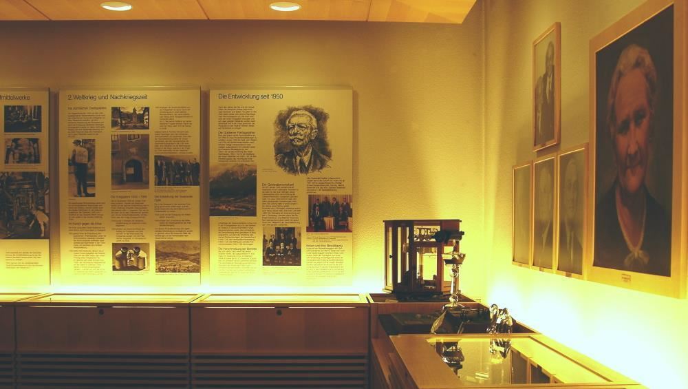
The local museum of Wattens, tracing the market town's development from early settlement to its paper-making and crystal industries.
Karlskirche
9.9 km away, in Volders
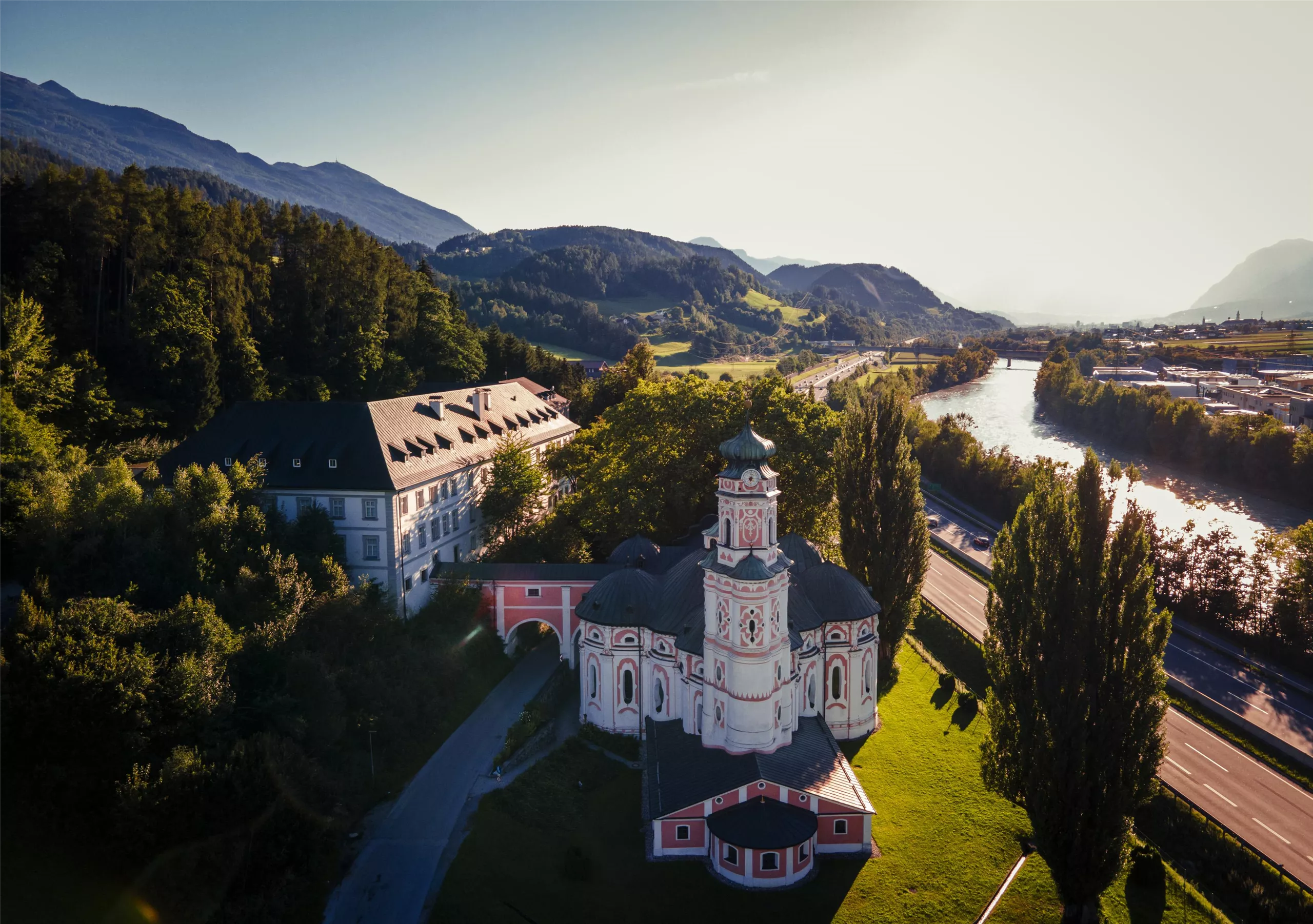
A 17th-century pilgrimage church at Volders beside the Inn, dedicated to St Charles Borromeo and known for its unusual round baroque plan.
Tuxerjochhaus 2.313 m
12 km away, in Tux
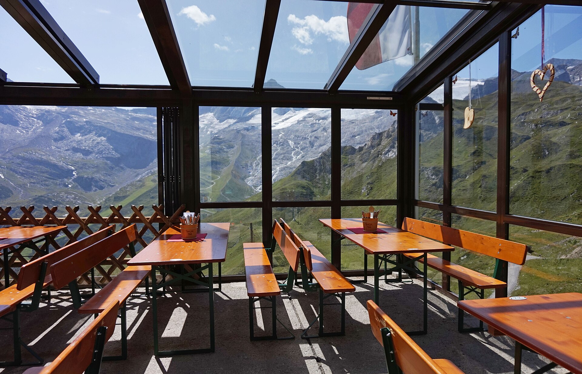
A mountain refuge at 2,313 m by the Tuxer Joch, the crossing between the Schmirn valley and Hintertux, serving hikers and ski tourers.
Alpengasthof Halsmarter
7 km away, in Tulfes
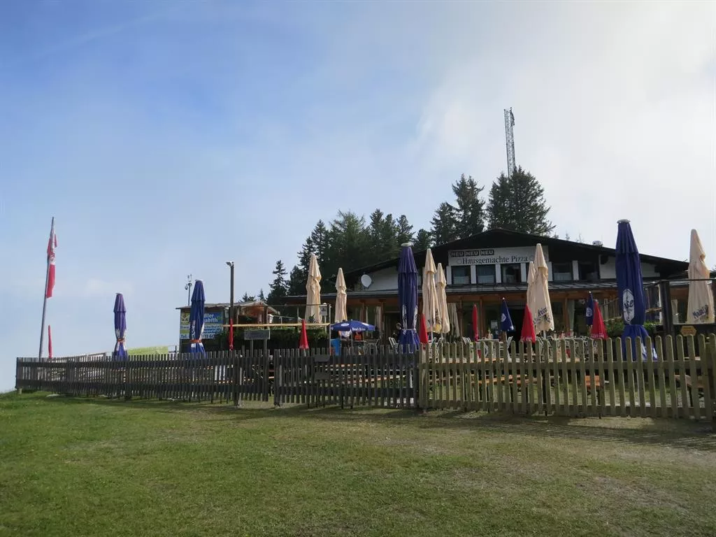
An alpine inn at Halsmarter, the middle station of the Glungezer lifts above Tulfes, serving walkers and skiers on the way up the mountain.
Glungezer-Hütte 2610
7.2 km away, in Tulfes
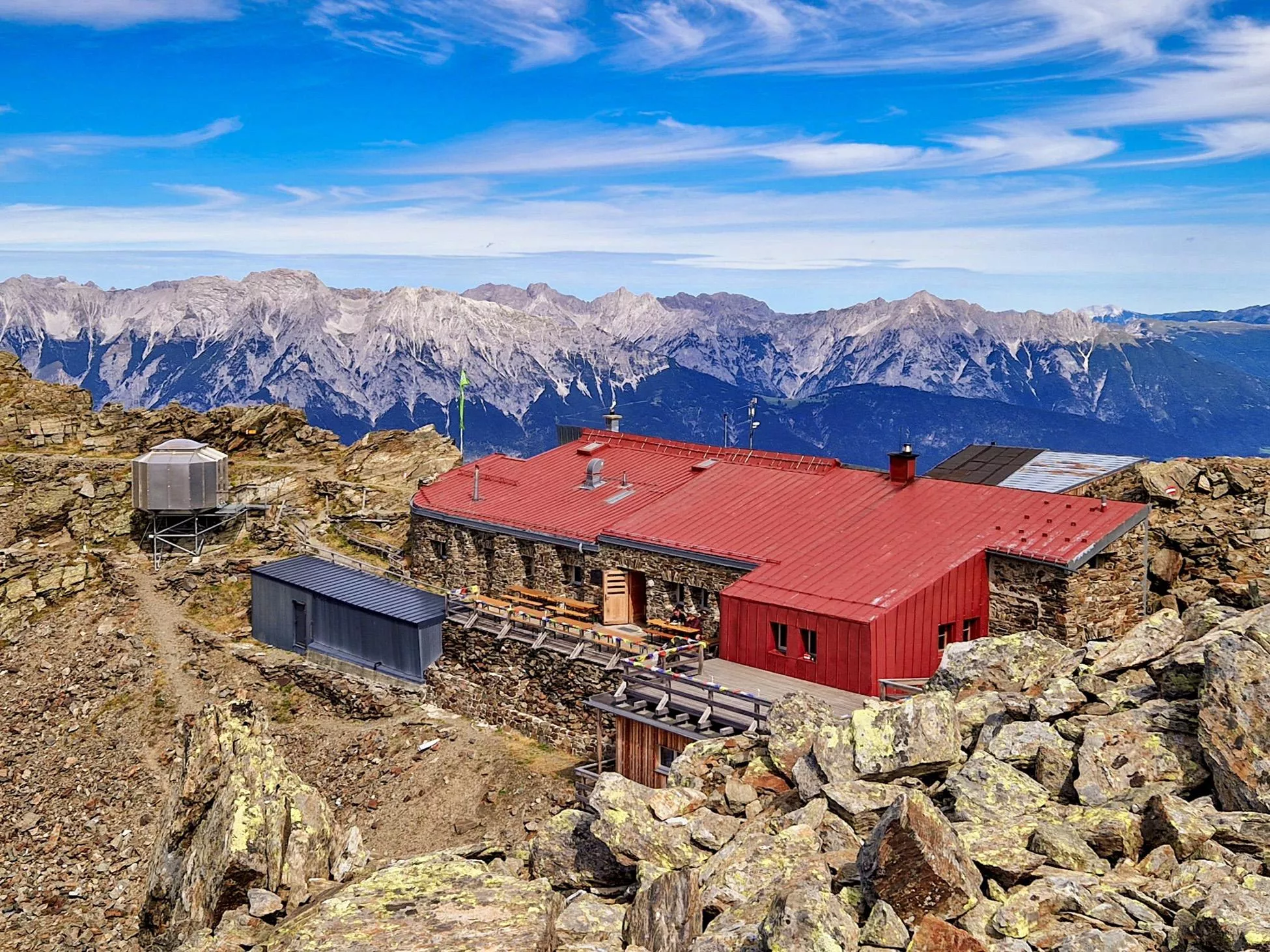
A hut just below the Glungezer summit at 2,610 m above Tulfes, known for home cooking and as a stage on the long Zirbenweg ridge path.
Nothing of this kind in Wattenberg.
Routes
Kleiner Rundwanderweg
Short circuit on the slopes above the Wattental, linking the Puelacherhütte and the Schwaigerhütte on easy forest and pasture tracks.
- 6.4 km
- Distance
- 284 m
- Ascent
- 2 h 12 min
- Duration
Der Lizumer Zirbenweg - Zirmweg - zur Lizumer Hütte
An old path lined with stone pines climbs the Wattental past the Innermelanalm to the Lizumer Hütte.
- 12.0 km
- Distance
- 651 m
- Ascent
- 4 h 39 min
- Duration
- 24
- Check-ins
Glungezer & Geier Höhenweg
Ridge traverse of 15.6 km between the Glungezerhütte and the Lizumer Hütte, crossing seven tops between 2,600 and 2,700 m, among them the Grünbergspitze and Kreuzspitze.
- 15.6 km
- Distance
- 707 m
- Ascent
- 6 h 27 min
- Duration
- 100
- Check-ins
Skitour von der Lizumer Hütte auf den Geier
One of the most-skied lines in the Wattener Lizum: a steady 835 m of climbing from the Lizumer Hütte to the 2,858 m Geier.
- 3.6 km
- Distance
- 834 m
- Ascent
- 0 m
- Descent
- 2 h 13 min
- Duration
- 30
- Check-ins
Skitour vom Gasthof Hanneburger auf den 2.725m hohen Hirzer
Popular Wattental ski tour that starts in forest, crosses pasture by the Puelacherhütte and keeps climbing almost 1,400 m to the Hirzer.
- 6.7 km
- Distance
- 1 369 m
- Ascent
- 0 m
- Descent
- 3 h 45 min
- Duration
- 1
- Check-ins
Von Wattens zur Jausenstation Gartlach Kolsassberg MTB Route 590
A short, steady climb from the valley floor at Wattens up the slopes of Kolsassberg, 300 m of ascent in barely four kilometres.
- 4.1 km
- Distance
- 298 m
- Ascent
- 32 min
- Duration
Wattener Runde mittelschwere Rennradtour in Hall Tirol
A long climb out of the Inn valley into the Wattental, reaching the Puelacherhütte and Schwaigerhütte at around 1,350 m before the descent.
- 47.3 km
- Distance
- 1 137 m
- Ascent
- 5 h 16 min
- Duration
- 4
- Check-ins
Fernradweg München-Venezia: 2. Abschnitt, die Schatzkiste Tirol
A long-distance stage down the Inn valley to Innsbruck and then up the Wipptal to the Brenner Pass, with rail stops at Pill-Vomperbach and Steinach.
- 82.0 km
- Distance
- 1 563 m
- Ascent
- 8 h 45 min
- Duration
- 33
- Check-ins
Almwanderung Außermelang-Alm
Walk up the Wattental to the Außermelang-Alm, a moderate there-and-back to a working alpine pasture.
- 7.8 km
- Distance
- 473 m
- Ascent
- 3 h 15 min
- Duration
München - Venedig: Von der Glungezer-Hütte zur Lizumer Hütte
Ridge stage of 15.8 km from the Glungezerhütte over the Kreuzspitze, Grünbergspitze and Grafmartspitze to the Naviser Jöchl and on to the Lizumer Hütte, with one exposed section.
- 15.8 km
- Distance
- 998 m
- Ascent
- 7 h 55 min
- Duration
- 98
- Check-ins
Skitour auf die Grafenspitze
Ski tour past the Stieralm to the Grafenspitze, also known as the Krovenzspitze, gaining 1,200 m on slopes that carry little avalanche risk with a careful line.
- 4.9 km
- Distance
- 1 201 m
- Ascent
- 10 m
- Descent
- 3 h 10 min
- Duration
Wattenberg Mountainbikerunde MTB Route 519
A forest-road circuit above the Wattental, climbing past the Puelacherhütte and the Jagerhütte to the Pofersalm at 1,855 m before the run back down.
- 21.5 km
- Distance
- 968 m
- Ascent
- 2 h 49 min
- Duration
Wuzelschellweg mittelschwere Wanderung in Wattens, Tirol
Family loop into the Wattental by way of Vögelsberg; short, but steep enough in places to suit children with some hill-walking behind them.
- 6.1 km
- Distance
- 375 m
- Ascent
- 2 h 35 min
- Duration
Lizumer Reib`n Rundtour
Demanding round from the Lizumer Hütte over the Geier and the Tarntaler Köpfe, returning by way of the Tarntalscharte and the Klammjoch.
- 10.7 km
- Distance
- 922 m
- Ascent
- 5 h 49 min
- Duration
- 39
- Check-ins
Vom Wattental über das Mölstal zur Lizumer Hütte
Long two-valley circuit through the Mölstal to the Lizumer Hütte, crossing the Klammjoch above the Klammsee, with alpenrose slopes in early summer.
- 19.7 km
- Distance
- 1 113 m
- Ascent
- 7 h 47 min
- Duration
- 39
- Check-ins
Kalkwand Umrundung schwere Bergtour in Tirol
Full circuit of the Kalkwand from the Lizumer Hütte through the grassy Tuxer Alps, crossing the Ramsjoch, the Torjoch and the Junsjoch.
- 19.6 km
- Distance
- 1 170 m
- Ascent
- 9 h 15 min
- Duration
- 38
- Check-ins
München - Venedig: Durch das Wattental zur Lizumer Hütte
Long stage of 26.7 km and 1,604 m of climb up the Wattental to the Lizumer Hütte, with a shorter variant if the weather or your legs argue against the full line.
- 26.7 km
- Distance
- 1 606 m
- Ascent
- 9 h 6 min
- Duration
- 33
- Check-ins
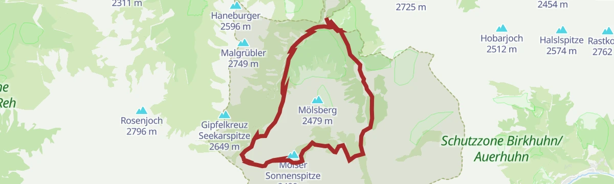
Zum idyllischen Mölssee
Circuit to the mountain lake Mölssee by way of the Mölser Scharte, taking in the Lizumer Hütte and the Möls Hochleger on the way round.
- 16.5 km
- Distance
- 1 027 m
- Ascent
- 7 h 2 min
- Duration
- 26
- Check-ins
Schwere Wanderung auf die Hippoldspitze in den Tuxer Voralpen
Demanding climb to the Hippoldspitze in the Tuxer Voralpen, going up past the Stieralm and the Außermelang-Alm and over the Krovenzjoch.
- 13.7 km
- Distance
- 1 217 m
- Ascent
- 7 h 40 min
- Duration
- 3
- Check-ins
Rote Wand
A quiet summit objective over the Kreuztaxen that asks for some route-finding, repaid by the view down into the Inntal.
- 12.3 km
- Distance
- 979 m
- Ascent
- 6 h 18 min
- Duration
- 1
- Check-ins
Wanderung auf den Hirzer
Long ascent of the Hirzer past the Puelacherhütte and both levels of the Pofersalm, with a full circle of views from the top.
- 18.0 km
- Distance
- 1 422 m
- Ascent
- 9 h 11 min
- Duration
- 1
- Check-ins
Waldrunde Wattenberg
Nearly 20 km of shaded forest track on the Wattenberg, passing the Puelacherhütte, the Schwaigerhütte and the Jagerhütte.
- 19.7 km
- Distance
- 900 m
- Ascent
- 6 h 51 min
- Duration
No routes of this kind in Wattenberg yet.
The region's own picks

Featured route
Kleiner Rundwanderweg
Short circuit on the slopes above the Wattental, linking the Puelacherhütte and the Schwaigerhütte on easy forest and pasture tracks.
Planning a trip to Wattenberg?
Everything else Tyrol has, in one place


Take Wattenberg with you into the mountains
Every route on this page with 3D terrain, GPX navigation and offline maps — including the valleys with no signal.
Data sources
- Official website: hall-wattens.at ↗
- Routes and highlights: Region Hall-Wattens, Wipptal Tourismus, Innsbruck Tourismus, Wilder Kaiser Tourismus
- Published as open data by the tourist boards named above.
- Region summary generated from the board's own material.
