The Tux Alps, named after the village of Tux in a side valley of the Zillertal, are exclusively located in Tyrol. They stretch from Innsbruck via the Zillertal valley to the area of Schwaz with its Kellerjoch mountain. The Tux Alps border on the Karwendel Mountains in the north, the Rofan Mountains in the north-east, the Kitzbühel Alps in the east, and the Stubai Alps in the west.
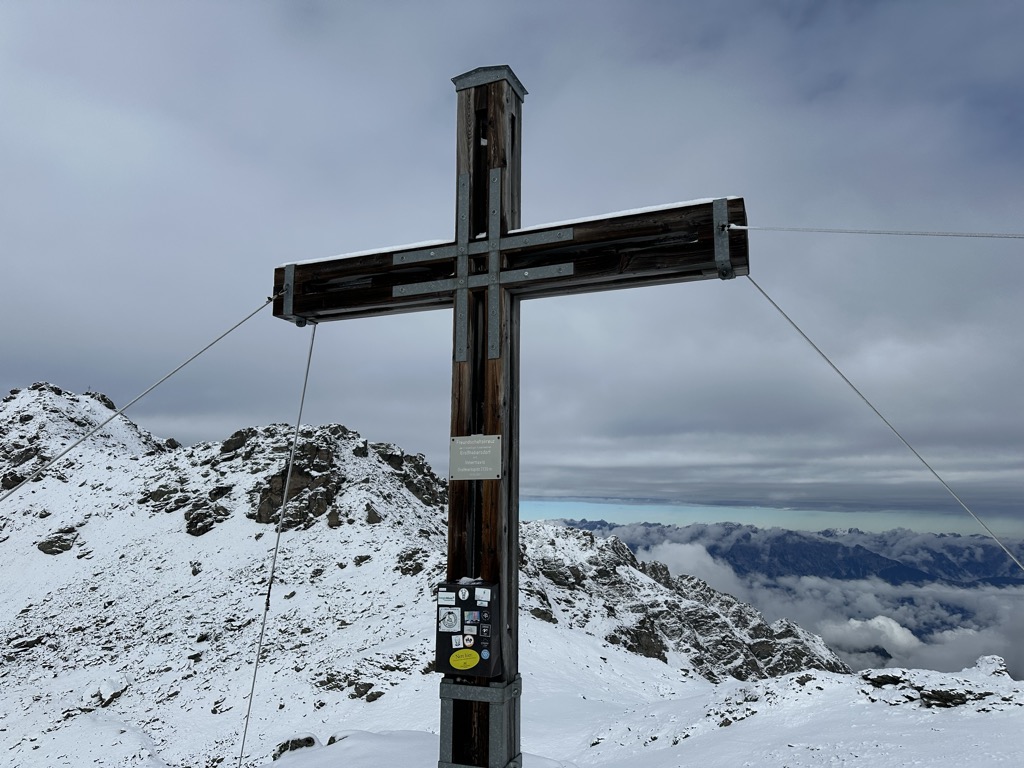
Grafmartspitze is a part of this beautiful mountain range. Its pyramid-like structure and exposed south ridge make it an interesting destination for mountaineers. The panoramic view from its summit offers a breathtaking vista of the surrounding alpine landscape.
Inn Valley High Trail
The Inn Valley High Trail is a long-distance hike that passes through the Tux Alps. This trail, which leads high above the Inn Valley at around 2,000 meters above sea level, is described as one of the region’s top adventures. The trail passes by blue lakes and through conservation areas, touching on many romantic valleys. The only section on this stage that is categorized as “difficult” can be bypassed.
There are other trails as well that can lead you to Grafmartspitze. These trails offer a variety of outdoor activities including hiking, biking, and running.
The Tux Alps are particularly popular with hikers. The Dream Path Munich-Venice stretches across this mountain range, past several mountain huts and refuges. Also, the long-distance Eagle Path and the Via Alpina let you experience the beauty of the Tux Alps from close quarters.
There's a demading hiking trail (T3) leading to the summit. Grafmartspitze is one of the 7 peaks along the Tag 8 V1 Traumpfad München Venedig.
The nearest mountain hut is Vögeler Alm located 1 422m/4 665ft SW of the summit.
By elevation Grafmartspitze is
# 16 out of 691 in the Tyrol Schistose Alps # 16 out of 230 in the Tux Alps
We use GPS information embedded into the photo when it is available.
3D mountains overlay
Adjust mountain panorama to perfectly match your photos because recorded by camera photo position might be imprecise.
Move tool
Rotate tool
Zoom
More customization
Choose which peak labels should make into the final photo and what photo title should be.
Next
Photo Location
Satellitte
Flat map
Relief map
Latitude
Longitude
Altitude
OR
Latitude
°'''
Longitude
°'''
Apply
Register Peak
Peak Name
Latitude
Longitude
Altitude
Register
Teleport
PeakVisor
This 3D model of Sagarmatha National Park in Nepal was made using the PeakVisor app topographic data. The mobile app features higher precision models worldwide, more topographic details, and works offline. Download PeakVisor maps today.
Download OBJ model
PeakVisor
The download should start shortly. If you find it useful please consider supporting the PeakVisor app.
PeakVisor for iOS and Android
Be a superhero of outdoor navigation with state-of-the-art 3D maps and mountain identification in the palm of your hand!