
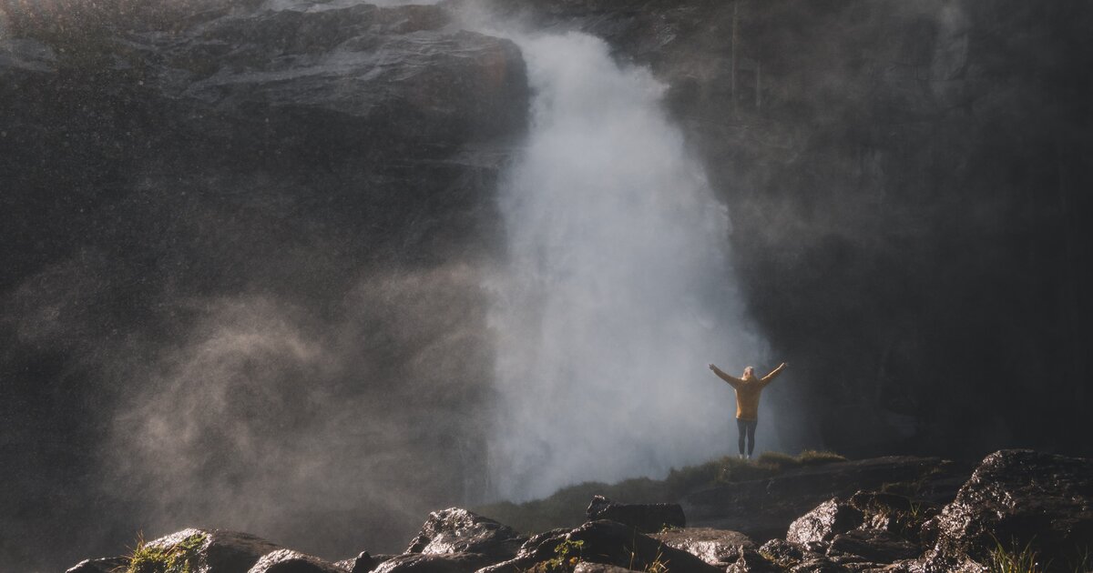
 Cable car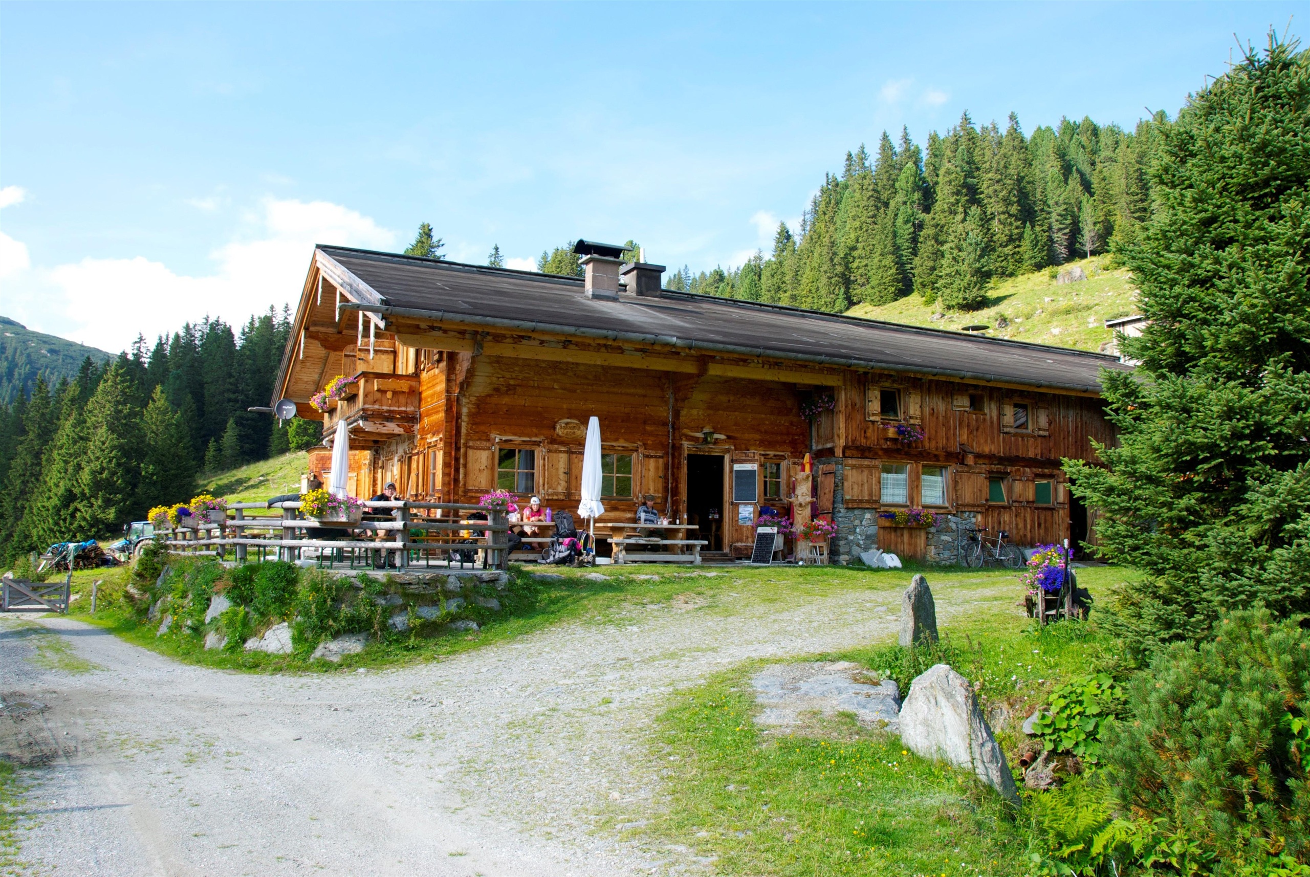
 Viewpoint






Curated by Wildkogel-Arena
Wald im Pinzgau
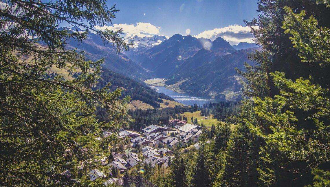
Uppermost parish of the Salzach valley below the Gerlos pass road, its high village Königsleiten at 1,600 m tied into the Zillertal Arena ski area.
- 1Highlights
- 10Routes
- Featured summit · Kröndlhorn
Highlights
14 from neighbouring places
Mineralien-Museum und Laden Wald im Pinzgau
A mineral museum and shop at Wald im Pinzgau, showing crystals found in the Hohe Tauern.
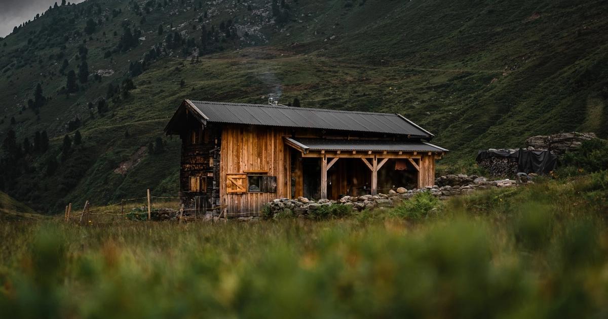
Berghütte Rosswildalpe
3.9 km away, in Hopfgarten im Brixental
A mountain hut in the grazing valleys above Kelchsau, a remote stop for hikers and ski tourers in the Kitzbüheler Alpen.
Zillertal Arena
4.6 km away, in Krimml
The Salzburg end of the Zillertal Arena ski area, served by the Hochkrimmler Seilbahnen above Krimml at the top of the Salzach valley.
Sonntagalm 1.650 m im Trattenbachtal
5.4 km away, in Neukirchen am Großvenediger
A pasture hut at 1,650 m in the Trattenbachtal, reached on foot from the Oberpinzgau valley floor near Neukirchen.
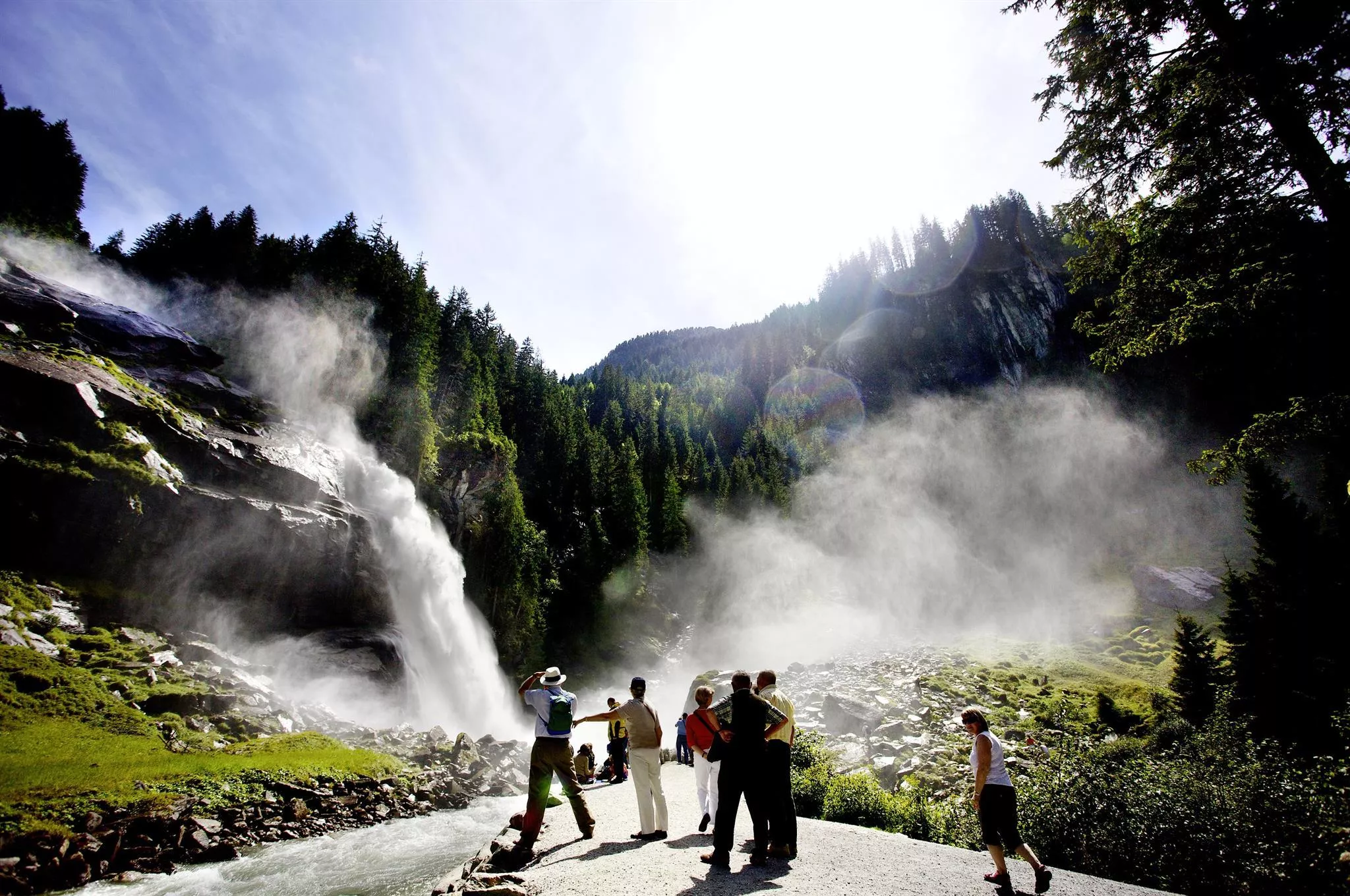
Krimmler Wasser Welten
5.6 km away, in Krimml
The visitor centre at the foot of the Krimml Falls, where the Krimmler Ache drops about 380 m in three stages, with water-themed exhibits and play stations.
Duxeralm Seilbahnen GmbH
5.7 km away, in Krimml
A cable car operator based at Krimml in the Oberpinzgau, on the Salzburg side of the Zillertal Arena ski area.
Gasthof Rechtegg
5.8 km away, in Neukirchen am Großvenediger
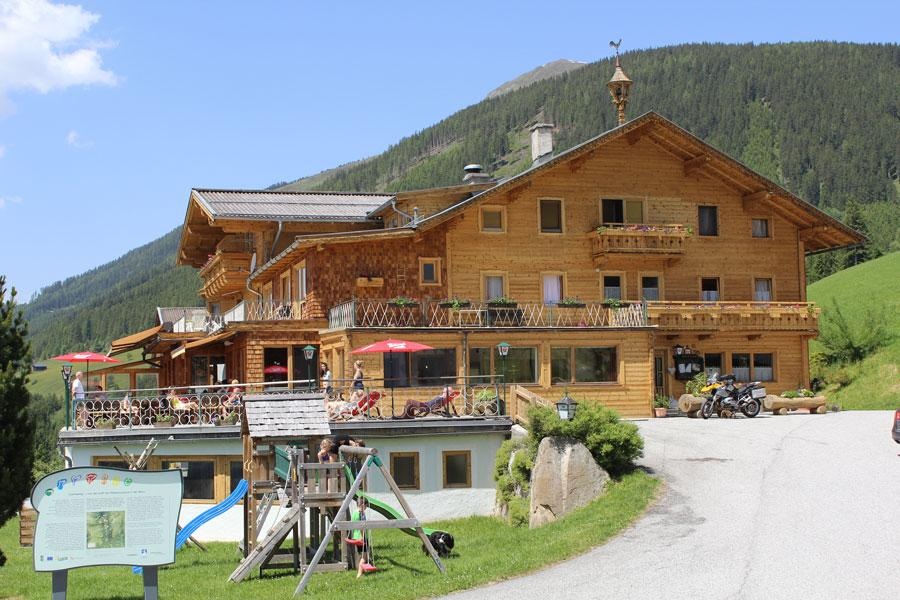
An inn at Rechtegg near Wald im Pinzgau, above Neukirchen am Großvenediger in the Oberpinzgau.
Pferdeschlittenfahrten - Familie Quehenberger
6.1 km away, in Neukirchen am Großvenediger
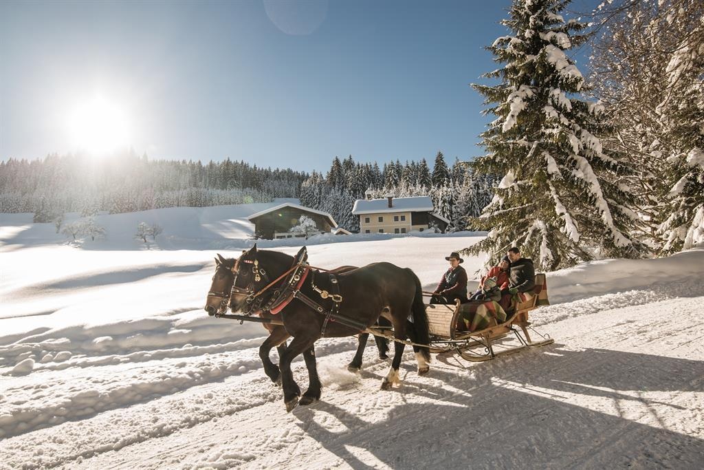
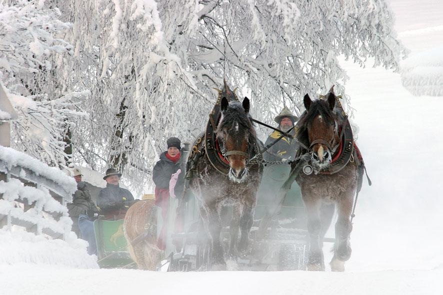
Horse-drawn sleigh rides run by the Quehenberger family at Wald im Pinzgau, near Neukirchen am Großvenediger.
Pferdeschlittenfahrten - Familie Kreidl
6.5 km away, in Neukirchen am Großvenediger
Horse-drawn sleigh rides offered by the Kreidl family at Wald im Pinzgau, above Neukirchen am Großvenediger.
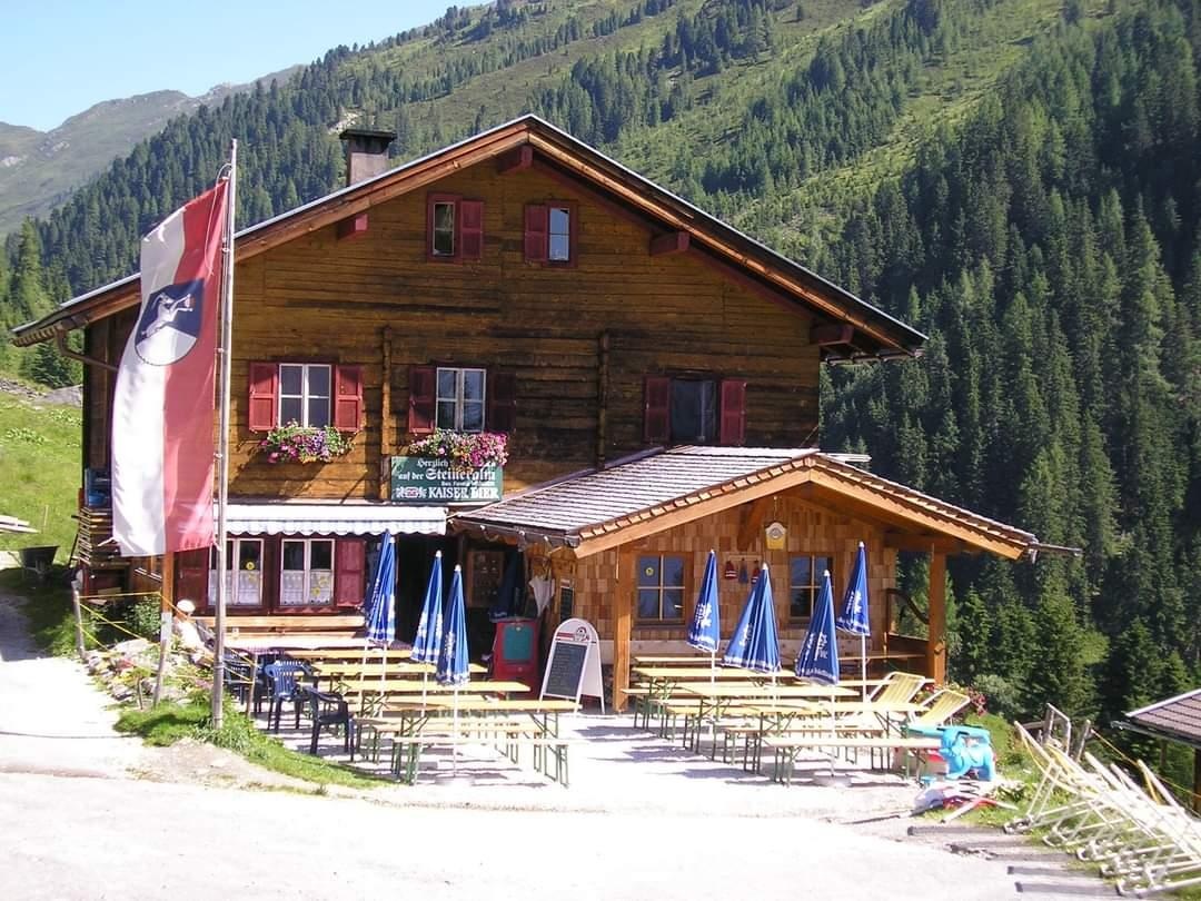
Steineralm 1.595 m im Dürnbachtal
7.2 km away, in Neukirchen am Großvenediger
A pasture hut at 1,595 m in the Dürnbachtal, a side valley above Neukirchen am Großvenediger.
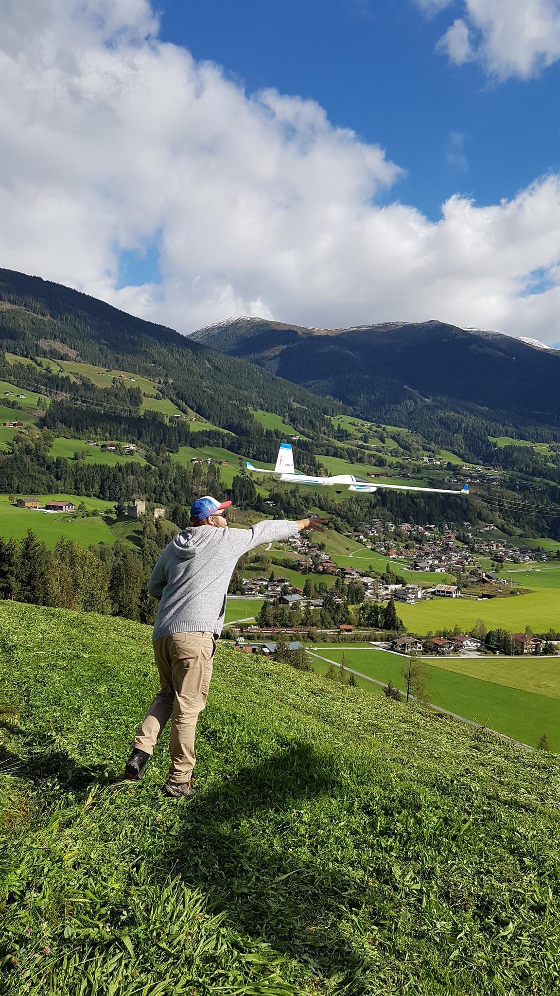
Modellfliegen beim Gasthof Friedburg
7.2 km away, in Neukirchen am Großvenediger
A model aircraft flying site at the Gasthof Friedburg in the Neukirchen am Großvenediger area of the Oberpinzgau.
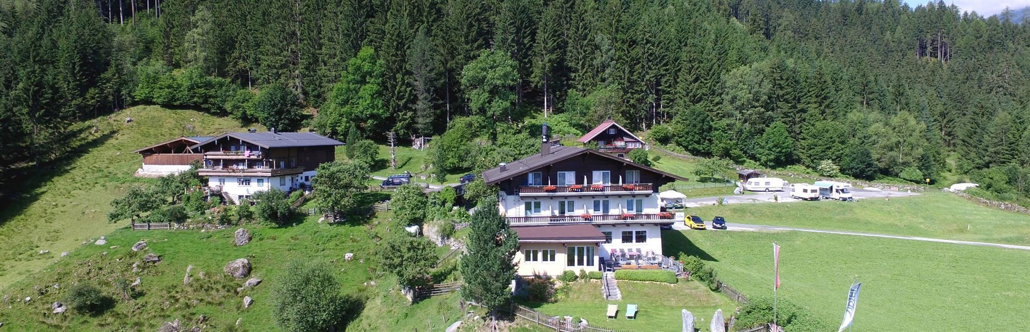
Gasthof Friedburg
7.2 km away, in Neukirchen am Großvenediger
A country inn in the Neukirchen am Großvenediger area of the Oberpinzgau, open to walkers and day visitors.
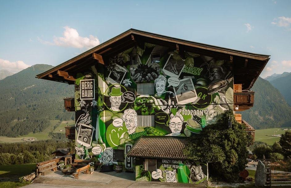
BergBaur
7.7 km away, in Neukirchen am Großvenediger
A farm restaurant above Neukirchen am Großvenediger, serving regional dishes and taking part in the Bauernherbst season.
Panorama Bogensport Neukirchen
8.3 km away, in Neukirchen am Großvenediger
An archery range at Neukirchen am Großvenediger, listed as a partner of the Hohe Tauern National Park.
Naturatrail Blausee
8.4 km away, in Neukirchen am Großvenediger
A signed nature and adventure trail to the Blausee in the Neukirchen am Großvenediger area, laid out for families.
Nothing of this kind in Wald im Pinzgau.
Routes
Salzachgeier
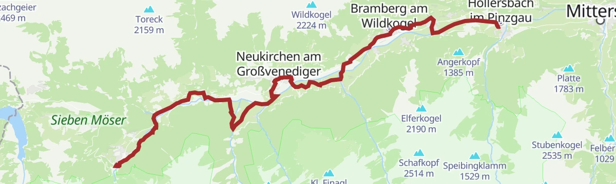
Long tour from Gasthof Wegscheid through the Kurzer Grund past the Neue Bamberger Hütte to the Salzachjoch, topping out where the Salzach river rises.
- 18.7 km
- Distance
- 1 449 m
- Ascent
- 9 h 25 min
- Duration
- 41
- Check-ins
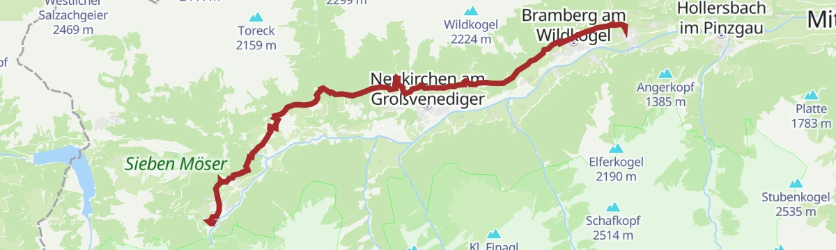
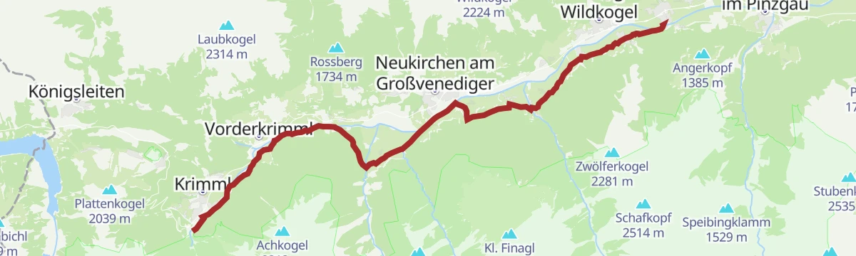
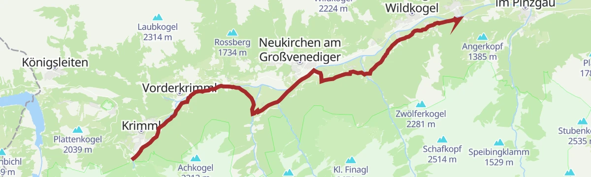
Tauernradweg von Krimml bis Hollersbach
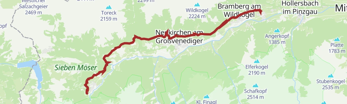
A near-flat valley stage from Krimml down to Hollersbach, following the Salzach past Wald-Königsleiten and the Badesee at Neukirchen.
- 28.9 km
- Distance
- 115 m
- Ascent
- 2 h 46 min
- Duration
- 18
- Check-ins
 Bergschmied 817 m
 Tagesspeicher Krimmler Ache 1 048 m
- Rechenmacherhütte 826 m
- Tourismusverband Wald-Königsleiten 875 m
- Badesee Neukirchen 833 m
- Bergführer Büro 846 m
- +3
Radtour von Zell am See - Krimml
A long valley ride up the Salzach from Zell am See through Mittersill and Wald to Krimml, at the head of the Oberpinzgau.
- 67.1 km
- Distance
- 741 m
- Ascent
- 6 h 39 min
- Duration
- 24
- Check-ins
- Bergschmied 817 m
- Tagesspeicher Krimmler Ache 1 048 m
- Tourismusinfo Mittersill-Hollersbach-Stuhlfelden 786 m
- Einödhof 768 m
- Rechenmacherhütte 826 m
- Tourismusverband Wald-Königsleiten 875 m
- +5
Kröndlhorn
Ascent through the Kurzer Grund from Wegscheid past the Streitfeldenalm to a broad summit just over 2,400 m between the Kelchsau and Windau valleys.
- 15.5 km
- Distance
- 1 278 m
- Ascent
- 8 h 11 min
- Duration
- 17
- Check-ins
Neukirchen: 3C Trattenbachtal
A steep valley climb past the Niederalm and the Grundalm to the Hochalm at 1,955 m, with more than 1,100 m of ascent.
- 14.1 km
- Distance
- 1 094 m
- Ascent
- 1 h 55 min
- Duration
- 11
- Check-ins
Sonnenweg von Krimml bis Mühlbach
A 26 km traverse along the sunny flank of the valley from Krimml through Wald and Neukirchen to Mühlbach, facing the Hohe Tauern the whole way.
- 26.6 km
- Distance
- 1 460 m
- Ascent
- 10 h 52 min
- Duration
- 16
- Check-ins
Neukirchen: Kröndlhorn
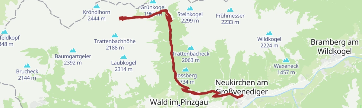
The direct line from the Trattenbachtal to the 2,444 m Kröndlhorn, climbing past the Grundalm and the Trattenbach-Hochalm in about four and a half hours.
- 10.1 km
- Distance
- 1 160 m
- Ascent
- 4 h 53 min
- Duration
- 14
- Check-ins
Sonnenweg Krimml - Mühlbach
Around nine hours one way: 25 km from Krimml to Mühlbach on waymarks 19, 15 and 55, rising from 820 m to a high point of 1,306 m.
- 25.1 km
- Distance
- 1 315 m
- Ascent
- 9 h 55 min
- Duration
- 7
- Check-ins
- Tagesspeicher Krimmler Ache 1 048 m
- Ederbauer 1 270 m
- Geschiebesperre 922 m
- Pension Falkenstein 1 055 m
- Thürner Alm 1 124 m
Tälerweg Mühlbach - Krimml
Long valley traverse of 22 km from the station at Mühlbach im Pinzgau to Krimml, on path 24 and with little height gain.
- 22.2 km
- Distance
- 722 m
- Ascent
- 6 h 45 min
- Duration
- 2
- Check-ins
Tälerweg von Mühlbach bis Krimml
A 23 km walk through meadow and forest beside the rivers between Mühlbach and Krimml, with views into the national park side valleys.
- 23.2 km
- Distance
- 632 m
- Ascent
- 6 h 46 min
- Duration
No routes of this kind in Wald im Pinzgau yet.
The region's own picks

Featured route
Salzachgeier
Long tour from Gasthof Wegscheid through the Kurzer Grund past the Neue Bamberger Hütte to the Salzachjoch, topping out where the Salzach river rises.
Planning a trip to Wald im Pinzgau?
Everything else Salzburg (state) has, in one place


Take Wald im Pinzgau with you into the mountains
Every route on this page with 3D terrain, GPX navigation and offline maps — including the valleys with no signal.
Data sources
- Official website: nationalpark.at ↗
- Routes and highlights: Wildkogel-Arena, Nationalpark, Kitzbüheler Alpen Tourismus, Wilder Kaiser Tourismus, Mayrhofen, Zell am See-Kaprun Tourismus
- Published as open data by the tourist boards named above.
- Region summary generated from the board's own material.
