
 Cable car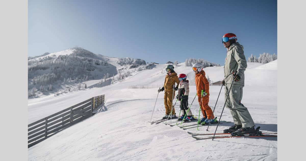
 Historic site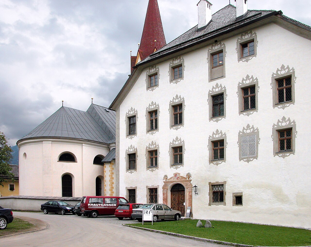









Curated by Kitzbüheler Alpen Tourismus
Waidring
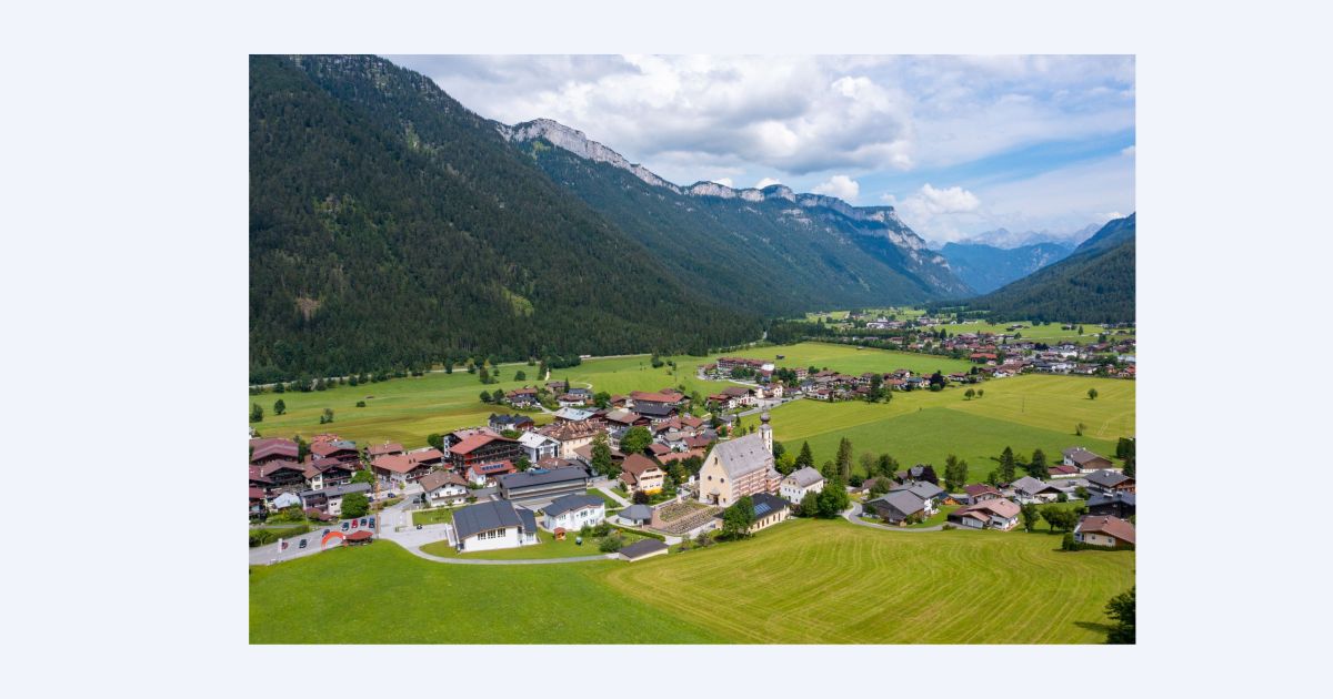
At the foot of the Loferer Steinberge and the Steinplatte plateau, a village at 777 m on the old Salzburg road, with Triassic reef fossils shown above the lifts.
- 5Highlights
- 42Routes
- Featured summit · Steinplatte
Highlights
10 from neighbouring places
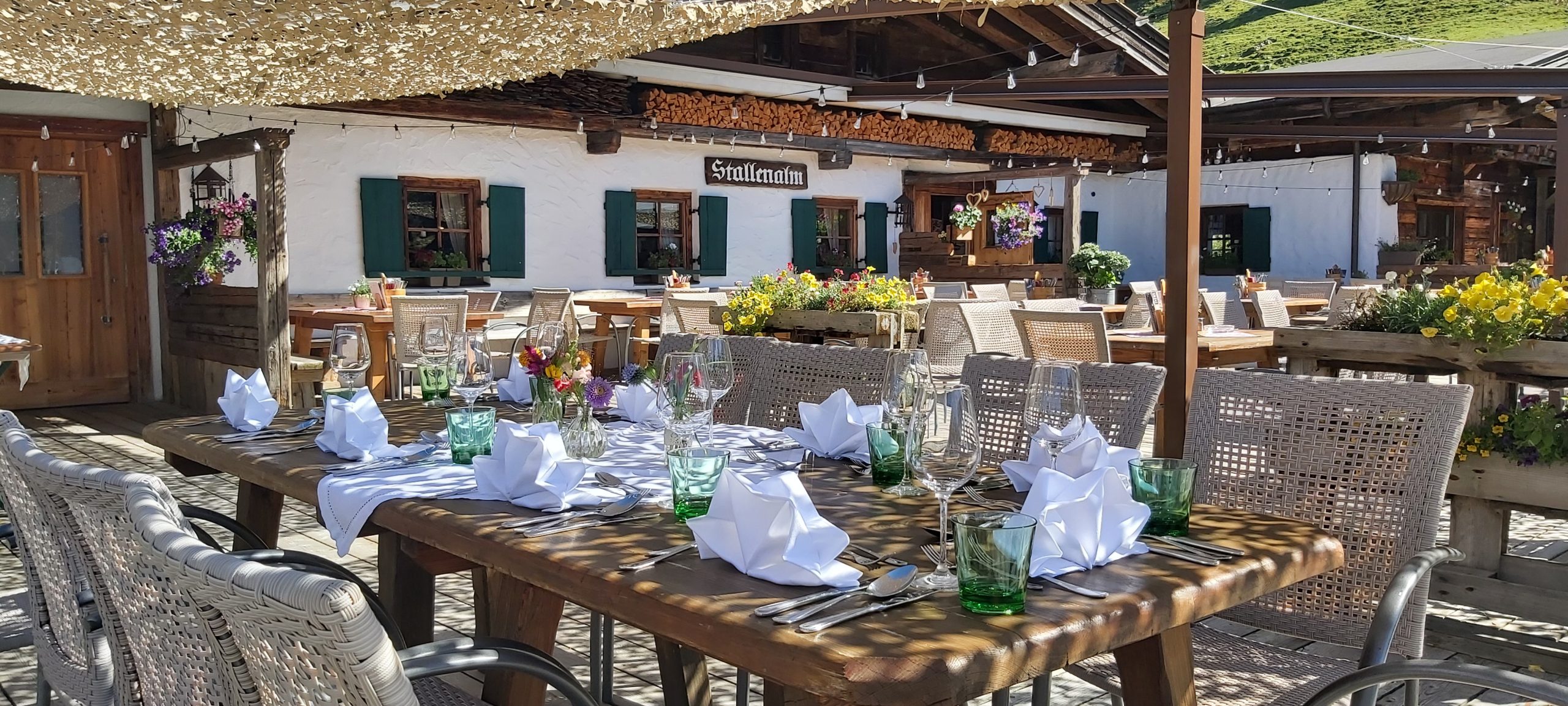
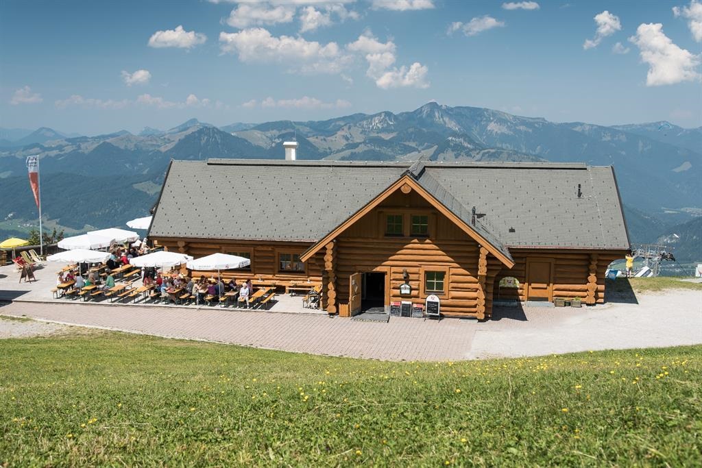
Stallenalm
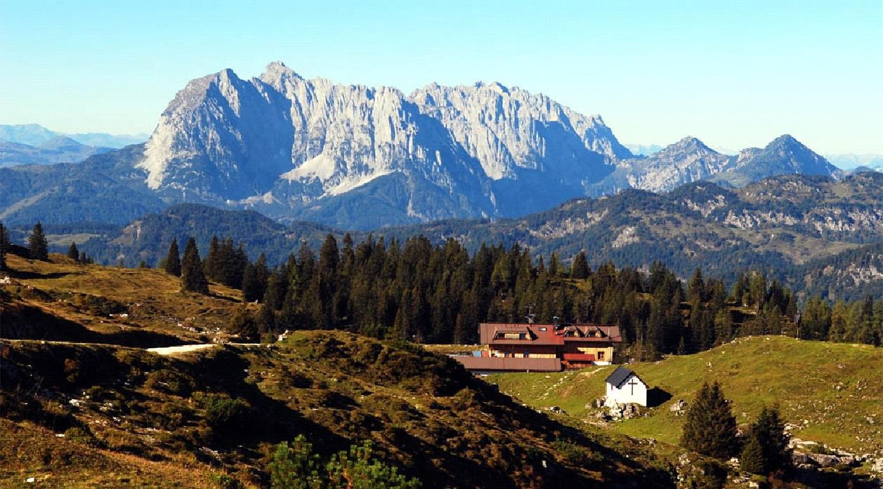
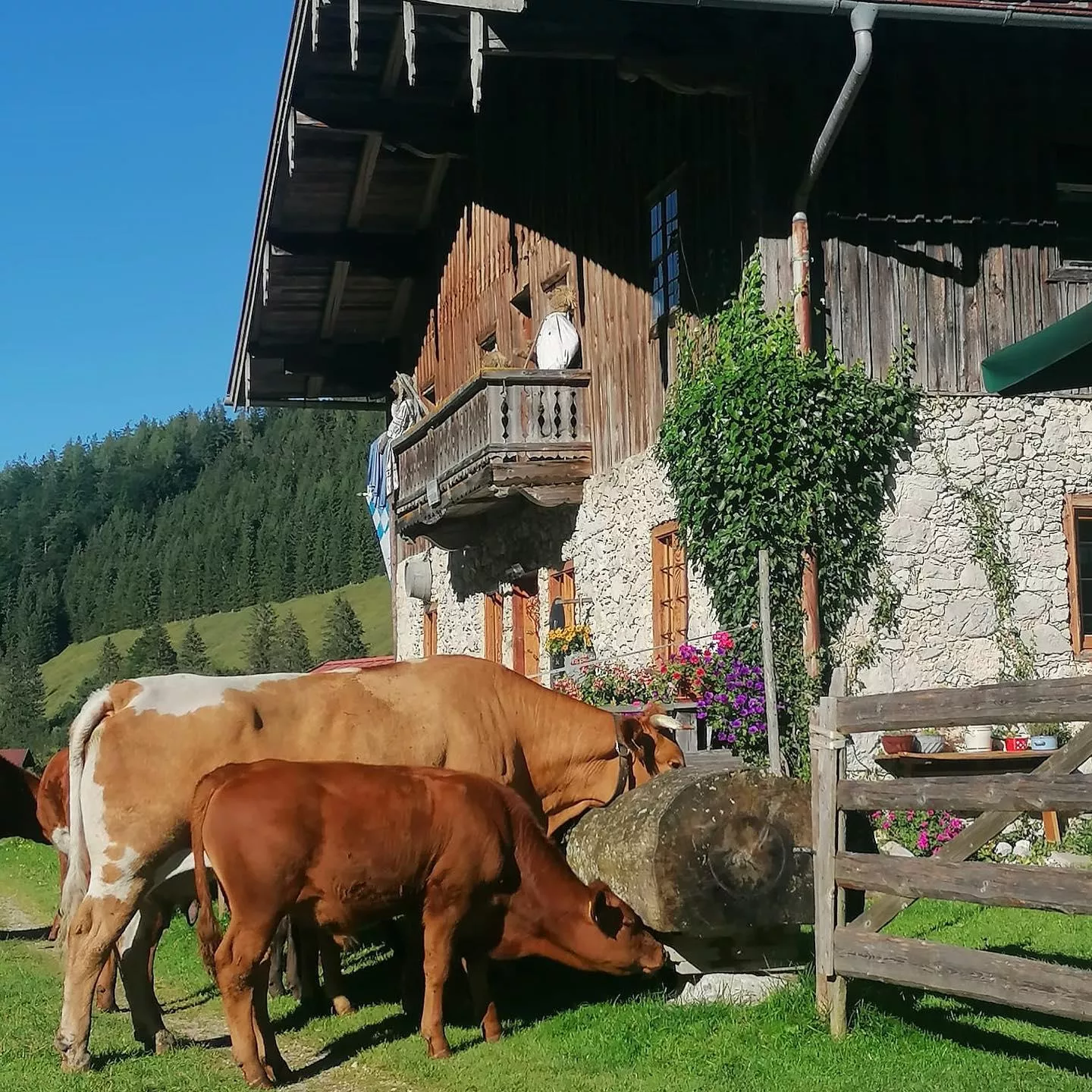
A pasture hut in the mountains above Waidring near the Steinplatte, serving simple alm fare to walkers and mountain bikers.
Bergbahn Steinplatte Waidring
The lift from Waidring up to the Steinplatte plateau near the Tirol-Salzburg-Bavaria border, giving access to the Triassic Park and the plateau's walking trails.
Bergbahnen Steinplatte
The lifts from Waidring at 777 m onto the Steinplatte, serving a ski area shared with Bavaria in winter and the Triassic Park in summer.
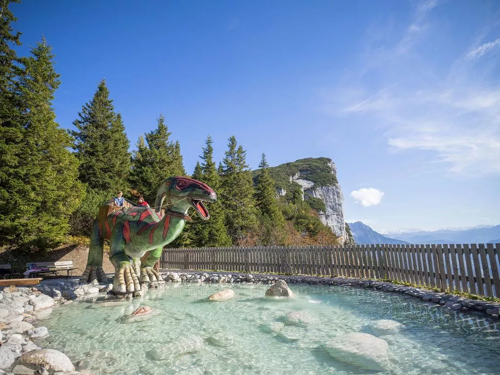
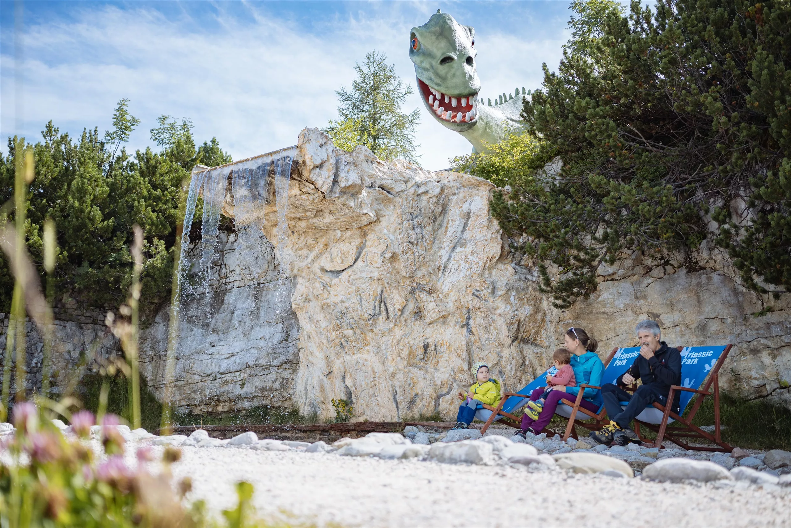
Triassic Park auf der Steinplatte
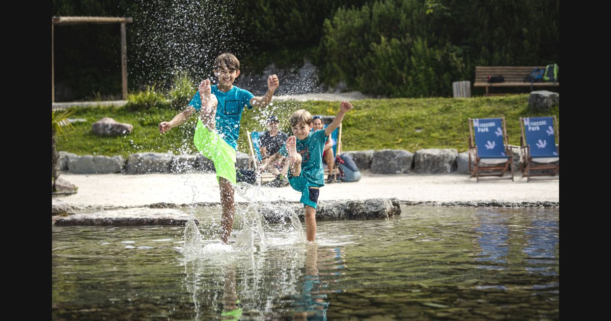
A dinosaur and fossil themed adventure world on the Steinplatte plateau above Waidring, recalling the Triassic reef that formed the rock.
Snowpark Steinplatte
A freestyle snowpark in the Steinplatte ski area above Waidring, with kicker and rail lines groomed through the winter season.
Bergerlebnis | Triassic Park
2.5 km away, in Unken
A dinosaur and fossil themed family park on the Steinplatte above Waidring, built around the Triassic reef history of the plateau.
Teufelsklamm
3.3 km away, in St. Ulrich am Pillersee
A small gorge near St. Ulrich am Pillersee whose name means devil's gorge, explored on a short path through the rocky defile.
Funball
4.2 km away, in St. Ulrich am Pillersee
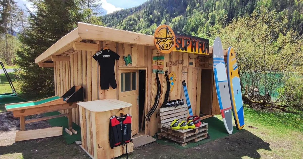
A water-play station at the bathing lake in St. Ulrich am Pillersee, with water balls and paddle sports on offer in summer.
Straubingerhaus - Eggenalm
6.2 km away, in Kössen
A mountain house on the Eggenalm high pasture above Kössen near the Bavarian border, offering meals and overnight beds to walkers.
Pfarrkirche St. Ulrich am Pillersee
6.5 km away, in St. Ulrich am Pillersee
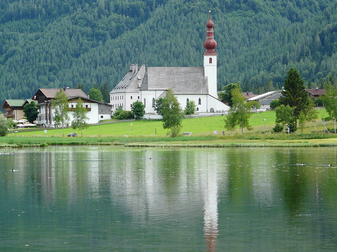
The parish church of St. Ulrich am Pillersee, a village church of medieval origin standing near the lake that names the place.
Ruine am Paß Strub
7.8 km away, in Lofer
Remains of old defensive works at the Pass Strub near Waidring, a border crossing fought over in the Napoleonic period.
Pfarrkirche zum Hl. Stephan
9.6 km away, in Kirchdorf in Tirol
The parish church of Kirchdorf in Tirol, dedicated to Saint Stephen, at the centre of the village beneath the Wilder Kaiser.
Klausenbergalm
9.9 km away, in Kössen
A pasture hut on the Klausenberg above Kössen, serving regional food to walkers in the eastern Kaiserwinkl.
Unterberghornhütte
10.7 km away, in Kössen
A hut near the summit area of the Unterberghorn, the local mountain of Kössen, serving skiers and walkers using the Hochkössen lifts.
Bärenhütte
11.4 km away, in Kössen
A mountain hut above Kössen whose name means bear hut, serving regional food on the slopes of the Unterberghorn area.
Nothing of this kind in Waidring.
Routes
Klettersteig s'Schuastagangl Steinplatte
Graded C/D and rebuilt in 2023, this route climbs steep rock and pine scrub to the 1,848 m Steinplatte summit; ladders, and a rope bridge on the Knieschloderer variant.
- 2.7 km
- Distance
- 245 m
- Ascent
- 1 h 57 min
- Duration
- 60
- Check-ins
Weißbachschlucht
Easy gorge walk near Waidring along the Weißbach's pools and cascades, with a refreshment stop at the Alpengasthof Oberweissbach.
- 6.5 km
- Distance
- 260 m
- Ascent
- 2 h 9 min
- Duration
- 4
- Check-ins
Grünwaldalm - Wieslochsteig - Steinplatten Gipfel
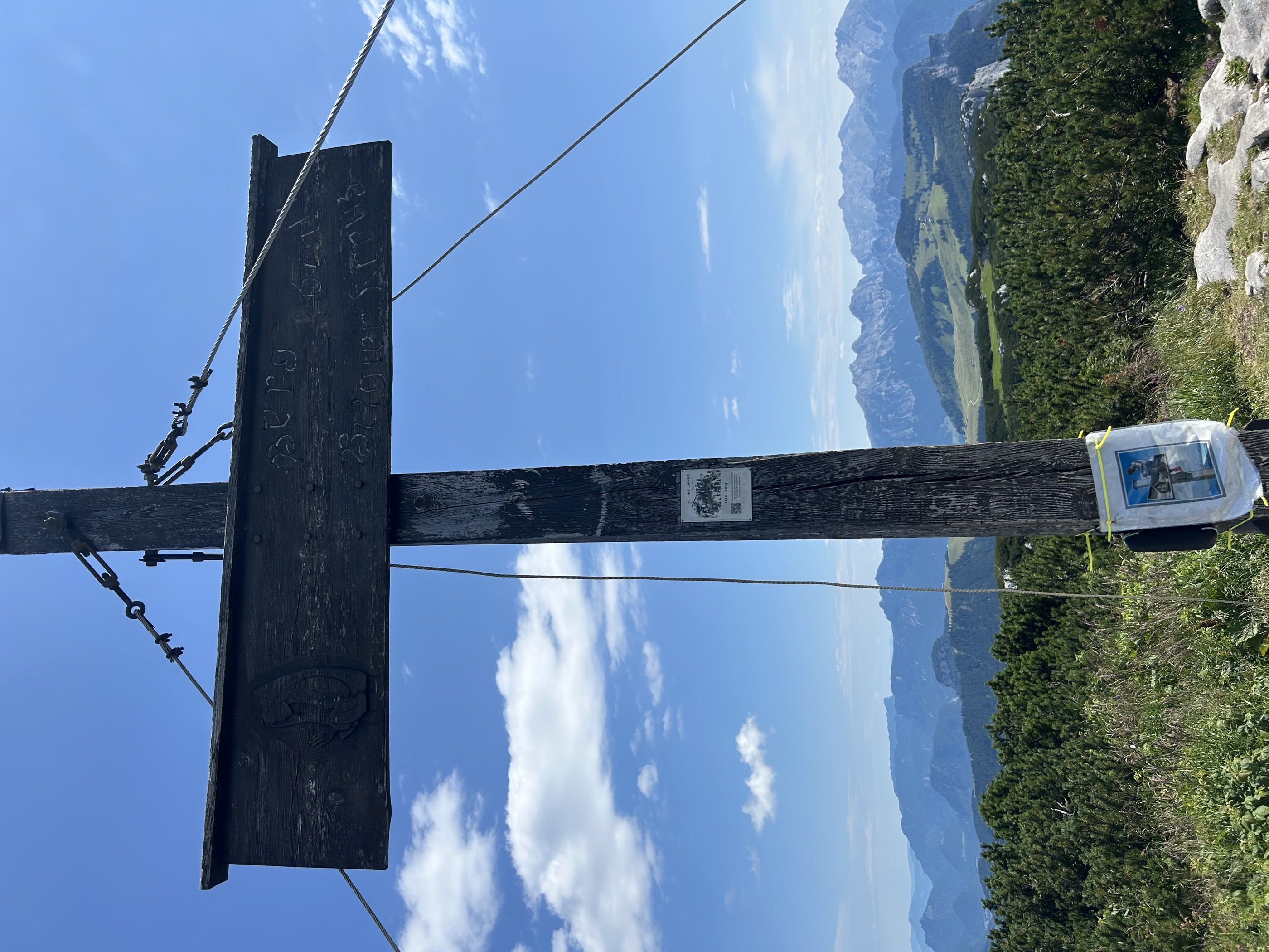
From the gondola top station above Waidring, a moderate route across karst pasture to the Steinplatte's summit cross, with the Loferer Steinberge filling the skyline; the Stallenalm invites a stop.
- 7.8 km
- Distance
- 504 m
- Ascent
- 3 h 26 min
- Duration
- 100
- Check-ins
Wemeteigenalm - Steinplattengipfel
A bottom-to-top route on Waidring's local mountain, gaining the Steinplatte plateau by way of alm pastures and finishing at the summit cross; ride the gondola down or return on foot.
- 12.9 km
- Distance
- 1 156 m
- Ascent
- 7 h 16 min
- Duration
- 94
- Check-ins
Waidring - Huberalm 266
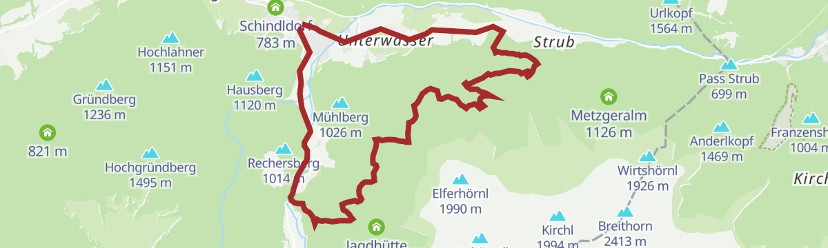
A forest-road climb out of the Pillerseetal, starting by the village lifts at Schindldorf and gaining 465 m to the alm at 1,080 m.
- 11.5 km
- Distance
- 465 m
- Ascent
- 1 h 27 min
- Duration
- 8
- Check-ins
Loferer Alm Runde 241
A moderate forest-road round above the Saalach at Unken, climbing to the Skihütte Schönblick, the Steger Kaserei and Berghaus Kammerkoer.
- 29.1 km
- Distance
- 613 m
- Ascent
- 3 h 9 min
- Duration
- 109
- Check-ins
27 | Strubtalradweg
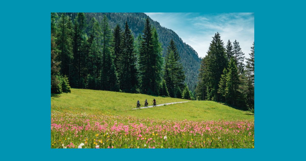
An almost level cycle path along the Strub valley, running from Waidring towards the Salzburg border at Pass Strub.
- 7.6 km
- Distance
- 51 m
- Ascent
- 44 min
- Duration
3. Etappe KAT Bike Sport+
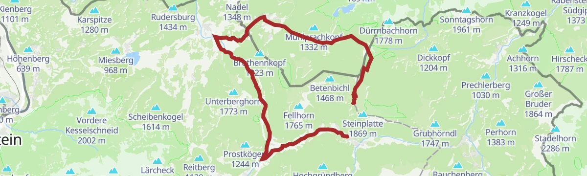
The third stage of a multi-day traverse of the Kitzbühel Alps, close to 3,000 m of climbing over the Wildalpgatterl, Lärchfilzhochalm and Stanglalm.
- 106.7 km
- Distance
- 2 992 m
- Ascent
- 12 h 18 min
- Duration
- 81
- Check-ins
Umgebung: Sagenweg Waidring
A 5 km themed walk at Waidring with twelve stations retelling local legends, level enough for prams.
- 5.0 km
- Distance
- 82 m
- Ascent
- 1 h 22 min
- Duration
- 3
- Check-ins
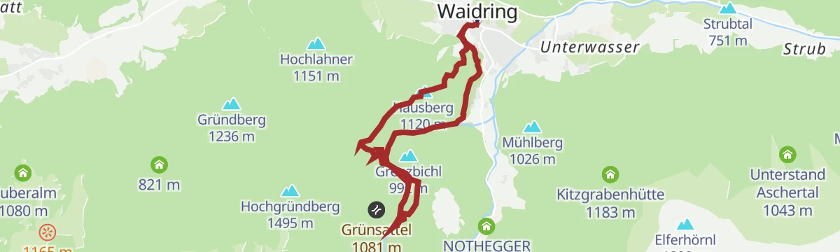
Hausberg Waidring - Weißbachschlucht
From Waidring's centre over the village's wooded local peak, descending through the Weißbach gorge past the Alpengasthof Oberweissbach.
- 10.0 km
- Distance
- 582 m
- Ascent
- 4 h 4 min
- Duration
- 7
- Check-ins
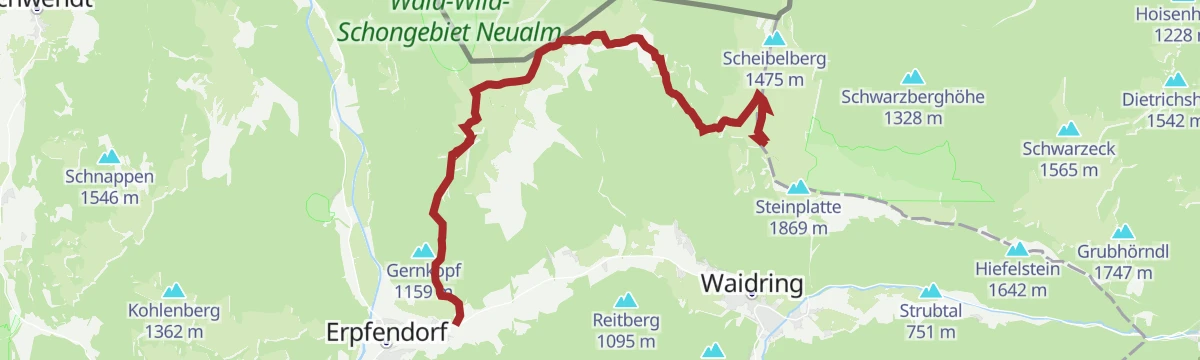
Steinplatte Waidring - Durchkaseralm - Straubinger Haus - Erpfendorf
From the Steinplatte at Waidring across high pastures to the Durchkaseralm and Straubinger Haus, then a long descent to Erpfendorf.
- 15.3 km
- Distance
- 471 m
- Ascent
- 4 h 45 min
- Duration
- 39
- Check-ins
Waidring - Maria Kirchental
A forest-road ride over Pass Strub into Salzburg, finishing at the pilgrimage church in the side valley above Sankt Martin.
- 14.6 km
- Distance
- 311 m
- Ascent
- 1 h 35 min
- Duration
- 5
- Check-ins
241 | Loferer Alm Runde
A forest-road loop above Unken gathering the alm huts near 1,400 m, among them the Steger Kaserei, Skihütte Schönblick and the Möseralm.
- 28.4 km
- Distance
- 611 m
- Ascent
- 3 h 6 min
- Duration
- 108
- Check-ins
E-Bike & Climb Steinplatte - Schuastagangl
A steep 1,140 m climb in barely 13 km to the Bergwacht and Panorama Tenne huts, ending near the Skywalk above Waidring.
- 13.4 km
- Distance
- 1 140 m
- Ascent
- 2 h 45 min
- Duration
- 71
- Check-ins
Dorfwanderung Waidring
Gentle village walk around Waidring, past the church square and out through the surrounding meadows of the Pillerseetal.
- 4.9 km
- Distance
- 60 m
- Ascent
- 1 h 17 min
- Duration
- 3
- Check-ins
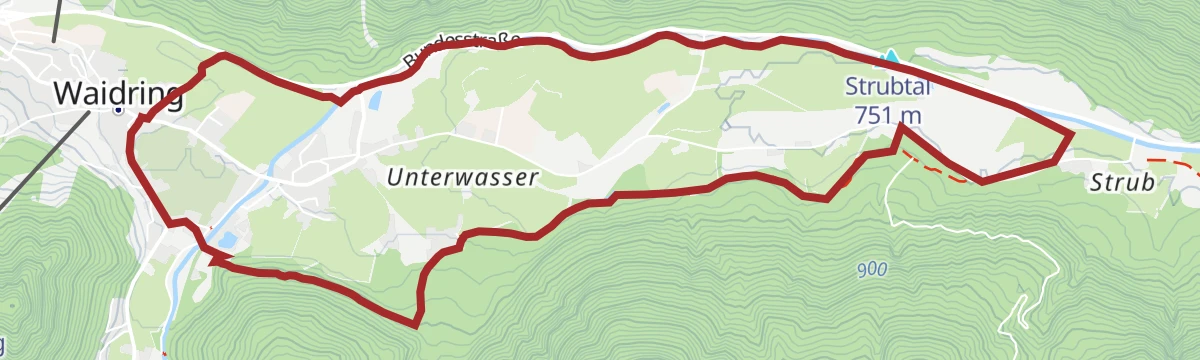
IVV Wanderweg Strubrunde
Certified IVV loop from Waidring into the Strubtal, a mostly flat round toward Pass Strub with a stop at the Tiroler Waldstüberl.
- 10.0 km
- Distance
- 130 m
- Ascent
- 2 h 39 min
- Duration
- 5
- Check-ins
WaiWi Etappe 1: Waidring - St. Ulrich am Pillersee
First leg of the WaiWi from Waidring to St. Ulrich am Pillersee, crossing Hausberg, Kirchberg and Schafelberg with nearly 1,300 m of climbing.
- 18.4 km
- Distance
- 1 279 m
- Ascent
- 8 h 31 min
- Duration
- 12
- Check-ins
235 | Weißbachschluchtrunde
A short, steep loop on forest roads out of Waidring, climbing to the Alpengasthof Oberweissbach at 942 m.
- 8.9 km
- Distance
- 474 m
- Ascent
- 1 h 18 min
- Duration
- 4
- Check-ins
237 | Heutalrunde
A forest-road circuit from Unken, climbing by the Herbstalm and Möseralm to the huts at Berghaus Kammerkoer around 1,650 m.
- 37.6 km
- Distance
- 1 467 m
- Ascent
- 4 h 43 min
- Duration
- 69
- Check-ins
Pillerseerunde
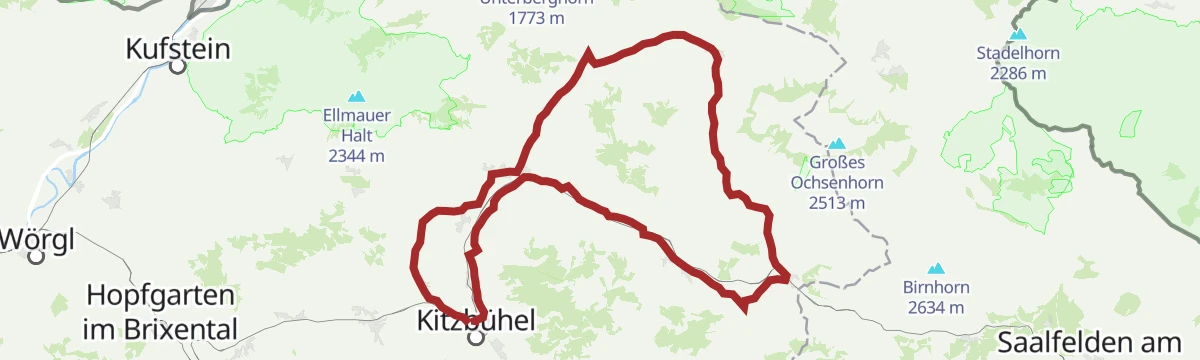
A big road loop over Pass Grießen and Pass Strub, passing the Lamprechtshöhle in the Saalach valley and a lakeside stop at Blattl.
- 100.0 km
- Distance
- 1 191 m
- Ascent
- 9 h 59 min
- Duration
- 21
- Check-ins
Glockenerlebnisweg
A flat kilometre of bell-themed stations at Waidring near Schindldorf, an easy themed walk that suits prams and short attention spans.
- 959 m
- Distance
- 6 m
- Ascent
- 14 min
- Duration
- 3
- Check-ins
Blachholzkapelle - Enthgriess
Level round from Waidring toward Schindldorf, linking the Blachholz chapel with the Enthgriess meadows on quiet lanes of the Pillerseetal.
- 7.2 km
- Distance
- 98 m
- Ascent
- 1 h 56 min
- Duration
- 3
- Check-ins
Mitterhorn 2.506m Loferer Steinberge
Serious Loferer Steinberge day that gains some 1,700 m in under 7 km, climbing past the Aschertal shelter and the Gute Wand onto bare karst terrain at 2,506 m.
- 6.7 km
- Distance
- 1 741 m
- Ascent
- 9 h 27 min
- Duration
- 9
- Check-ins
240 | Breitaualm
A short forest-road climb from Waidring up to the dairy in the Breitau, some 600 m of ascent in under 7 km.
- 6.6 km
- Distance
- 604 m
- Ascent
- 1 h 26 min
- Duration
Steinplatte Waidring - Reit im Winkl Runde
A round from Unken to the Steinplatte and Reit im Winkl, by the Winklmoosalm and the Möseralm.
- 45.1 km
- Distance
- 490 m
- Ascent
- 4 h 28 min
- Duration
- 66
- Check-ins
3 Pillersee-Runde
A long road day linking St. Johann in Tirol with Fieberbrunn and Kitzbühel, taking in the Seerestaurant Blattl on the lakeshore.
- 78.4 km
- Distance
- 988 m
- Ascent
- 7 h 53 min
- Duration
- 17
- Check-ins
Hackenschmiede - Schäferaukapelle - Kneippanlage
Nearly flat loop through Waidring's meadows that strings together a historic forge, a small chapel in the Schäferau and a Kneipp water-treading station.
- 6.9 km
- Distance
- 92 m
- Ascent
- 1 h 50 min
- Duration
- 3
- Check-ins
Jakobsweg Tirol: Lofer - St. Johann in Tirol
Long Way of St James stage from Lofer over Pass Strub into the Pillerseetal and on to St. Johann in Tirol — 27 km of mostly gentle pilgrim paths.
- 27.1 km
- Distance
- 298 m
- Ascent
- 7 h 5 min
- Duration
- 5
- Check-ins
Breitaualm 240
A steady climb on forest roads out of the Waidring basin up to the pasture and hut on the mountainside above.
- 6.9 km
- Distance
- 590 m
- Ascent
- 1 h 25 min
- Duration
Heutalrunde 237
A long, gently graded circuit from the Kniepass over Pass Strub, linking the Herbstalm and Möseralm with the Panorama Tenne.
- 38.1 km
- Distance
- 566 m
- Ascent
- 3 h 55 min
- Duration
- 47
- Check-ins
Pillerseetal-Runde Gravel
A longer gravel circuit of the whole Pillerseetal, taking in the Wiesensee and Fieberbrunn.
- 50.9 km
- Distance
- 676 m
- Ascent
- 5 h 9 min
- Duration
- 9
- Check-ins
 Tourismusverband Pillerseetal 777 m
- Infobüro Fieberbrunn 774 m
 Fischteich 835 m
- Wiesensee 930 m
- Fischteich 835 m
- Moserbauer 754 m
- +2
Rund um den Mühlberg
Easy circuit around a wooded hill on Waidring's edge, on farm lanes and forest paths with views toward the Loferer Steinberge and the Steinplatte.
- 6.1 km
- Distance
- 143 m
- Ascent
- 1 h 46 min
- Duration
- 3
- Check-ins
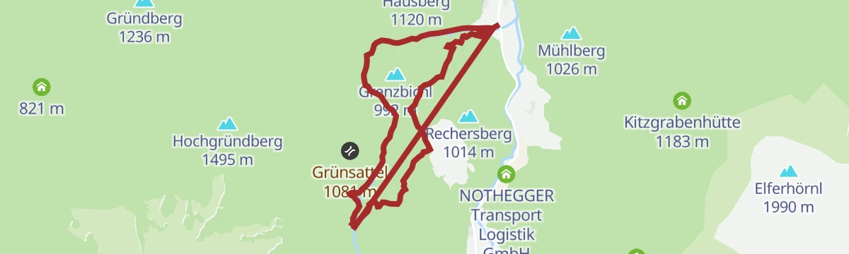
Über Breitaualmen zur Griesbachklamm
A walk above Waidring across the high pastures and the Grünsattel, coming back down into the valley through a gorge.
- 15.4 km
- Distance
- 764 m
- Ascent
- 5 h 37 min
- Duration
Waidring - St. Martin bei Lofer - Goldener Zweig Runde
A long circuit from the Pillerseetal over Pass Strub, passing the Seisenbergklamm gorge and the Lamprechtshöhle before the climb back.
- 46.2 km
- Distance
- 1 019 m
- Ascent
- 5 h 4 min
- Duration
- 13
- Check-ins
Gravelbike-Runde um den Kalkstein
The gravel version of the Kalkstein circuit, on farm tracks and forest road above Waidring.
- 41.6 km
- Distance
- 524 m
- Ascent
- 4 h 11 min
- Duration
- 7
- Check-ins
- Tourismusverband Pillerseetal 777 m
- Fischteich 835 m
- Das Bergblick 855 m
- Fischteich 835 m
- Moserbauer 754 m
- Seestüberl 839 m
- +1
Sagenweg Waidring
Village legend trail at Waidring: stations along an easy loop retell Pillerseetal sagas, making it a short walk well suited to families.
- 5.0 km
- Distance
- 104 m
- Ascent
- 1 h 25 min
- Duration
- 3
- Check-ins
Kalksteinradrunde
A long circuit from Going out to the Pillerseetal and back through Kalkstein, with the Fischteich ponds and Das Bergblick on the way.
- 66.9 km
- Distance
- 547 m
- Ascent
- 6 h 27 min
- Duration
- 11
- Check-ins
- Tourist Information Center 756 m
- Tourismusverband Pillerseetal 777 m
- Fischteich 835 m
- Das Bergblick 855 m
- Fischteich 835 m
- Moserbauer 754 m
- +2
Kalksteinrunde Bike Trail Nr. 18
The waymarked bike-trail take on the Kalkstein loop, following route 18 through the Pillerseetal.
- 41.6 km
- Distance
- 524 m
- Ascent
- 4 h 11 min
- Duration
- 7
- Check-ins
- Tourismusverband Pillerseetal 777 m
- Fischteich 835 m
- Das Bergblick 855 m
- Fischteich 835 m
- Moserbauer 754 m
- Seestüberl 839 m
- +1
Rund um den Hausberg
Undemanding loop around Waidring's local hill, climbing gently through mixed forest before rolling back to the village below the Steinplatte.
- 6.3 km
- Distance
- 296 m
- Ascent
- 2 h 12 min
- Duration
239 | Panoramaweg
A forest-road tour on the slopes below the Steinplatte, climbing to the Kitzgrabenhütte before the run back to Waidring.
- 21.9 km
- Distance
- 871 m
- Ascent
- 2 h 46 min
- Duration
- 3
- Check-ins
Die Pillersee Runde
An 84 km road circuit from St. Johann in Tirol out to Brixen im Thale and back by the Fleckalmbahn, with modest climbing.
- 83.9 km
- Distance
- 734 m
- Ascent
- 8 h 8 min
- Duration
- 6
- Check-ins
Panoramaweg Waidring 239
A high forest-road circuit above the Pillerseetal, with the Kitzgrabenhütte at 1,183 m as the turning point.
- 17.3 km
- Distance
- 669 m
- Ascent
- 2 h 10 min
- Duration
- 3
- Check-ins
No routes of this kind in Waidring yet.
The region's own picks

Featured route
Weißbachschlucht
Easy gorge walk near Waidring along the Weißbach's pools and cascades, with a refreshment stop at the Alpengasthof Oberweissbach.
Planning a trip to Waidring?
Everything else Tyrol has, in one place


Take Waidring with you into the mountains
Every route on this page with 3D terrain, GPX navigation and offline maps — including the valleys with no signal.
Data sources
- Official website: kitzbueheler-alpen.com ↗
- Routes and highlights: Kitzbüheler Alpen Tourismus, Kitzbühel Tourismus, Kaiserwinkl Tourismus, Wilder Kaiser Tourismus, Zell am See-Kaprun Tourismus
- Published as open data by the tourist boards named above.
- Region summary generated from the board's own material.
