
Curated by Piemonte Outdoor
Viù
The lower Valle di Viù above Lanzo, its wooded slopes rising to the Colle del Lys.
- 1Highlights
- 6Routes
- Featured summit · Monte Arpone
Highlights
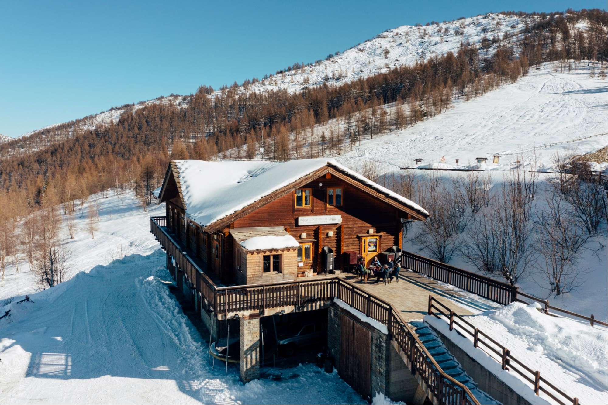
Rifugio Colle del Lys
A hut on the Colle del Lys, the pass between the Valli di Lanzo and the Val Susa above Viù.
 Mountain hut
Nothing of this kind in Viù.
Routes
12 from neighbouring places
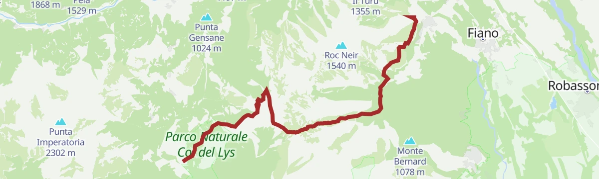
Anello Ceronda: Tappa 3 Col del Lys
A stage over Monte Arpone to the Col del Lys, the pass between the Viù and Ceronda valleys.
- 6.8 km
- Distance
- 296 m
- Ascent
- 3 h 34 min
- Duration
- 35
- Check-ins
Trek Calcante: Tappa 2A Colle Cialmetta (Bivacco)
A stage of the Trek Calcante in the Val di Viù, ending at the bivouac on the Colle Cialmetta in the Lanzo valleys.
- 12.2 km
- Distance
- 592 m
- Ascent
- 4 h 49 min
- Duration
- 3
- Check-ins
 Colle Cialmetta 1 303 m
 Lago di Sumiana superiore 1 179 m
- Lago di Sumiana inferiore 1 177 m
Anello Ceronda: Tappa 2 Vallo Torinese
A stage over three cols above the Valle Ceronda, from the Colle del Lys past Colle Lunella and Colle Grisoni to the unstaffed San Vito refuge.
- 17.0 km
- Distance
- 843 m
- Ascent
- 6 h 11 min
- Duration
- 36
- Check-ins
Trek Calcante: Tappa 2C Alpe Longimala
A high stage in the mountains above Viù, crossing the Colle Tre Laiet at over 2,200 metres on the way to the alp on the far side.
- 11.6 km
- Distance
- 823 m
- Ascent
- 5 h 58 min
- Duration
- 3
- Check-ins
Trek Calcante: Tappa 2 Traves
A long, demanding stage over four cols in the Valli di Lanzo, taking in the top of Punta Lunelle before the long drop towards Losa.
- 25.6 km
- Distance
- 2 285 m
- Ascent
- 13 h 25 min
- Duration
- 9
- Check-ins
Trek Calcante: Tappa 3 Frazione Tornetti
The third stage of the Trek Calcante, a long crossing above the Val di Viù finishing at the hamlet of Tornetti.
- 19.9 km
- Distance
- 1 181 m
- Ascent
- 7 h 55 min
- Duration
- 1
- Check-ins
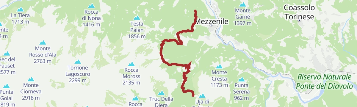
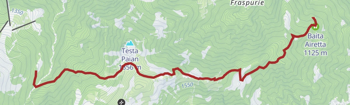
Trek Calcante: Tappa 2B Cappella della Consolata
8.9 km away, in Mezzenile
A short, steep stage above Mezzenile in the Valli di Lanzo, climbing past the Baita Airetta to a hillside chapel.
- 7.6 km
- Distance
- 802 m
- Ascent
- 4 h 15 min
- Duration
Anello Ceronda: Tappa 4 Borgata Lucco
7.8 km away, in Val della Torre
A long stage on the hills above Val della Torre, west of Turin, crossing the saddle of Bassa delle Sette.
- 17.2 km
- Distance
- 843 m
- Ascent
- 6 h 41 min
- Duration
- 2
- Check-ins
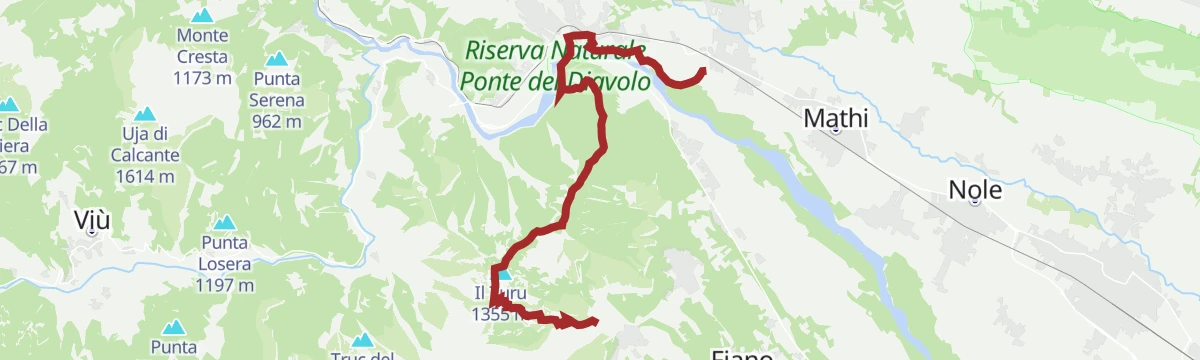
Trek Calcante: Tappa 1 Lanzo T.se Ponte del Diavolo
8.7 km away, in Lanzo Torinese
A first walking stage out of Lanzo Torinese over the Colle Colmet, with a viewpoint above the gorge of the Stura.
- 13.6 km
- Distance
- 731 m
- Ascent
- 4 h 56 min
- Duration
Anello Ceronda: Tappa 1 Balangero
10.5 km away, in Balangero
The opening stage of a ring route above Balangero, climbing over Monte Corno to the Passo della Croce and passing the crag at the Ponte del Diavolo.
- 13.8 km
- Distance
- 1 045 m
- Ascent
- 6 h 34 min
- Duration
- 9
- Check-ins
Tour dell'Uja: Tappa 2 Borgata Bracchiello
13.9 km away, in Ala di Stura
The second stage of a multi-day circuit in the Stura valley, walking between hamlets above Ala di Stura and over the Colle d'Attia.
- 8.1 km
- Distance
- 427 m
- Ascent
- 4 h 42 min
- Duration
- 1
- Check-ins
Anello Ceronda: Tappa 5 Cascina San Giovanni
11.2 km away, in La Cassa
A long, gently rolling closing stage across the low hills at La Cassa, north of Turin, passing the crag above the Ponte del Diavolo.
- 17.6 km
- Distance
- 346 m
- Ascent
- 4 h 53 min
- Duration
- 3
- Check-ins
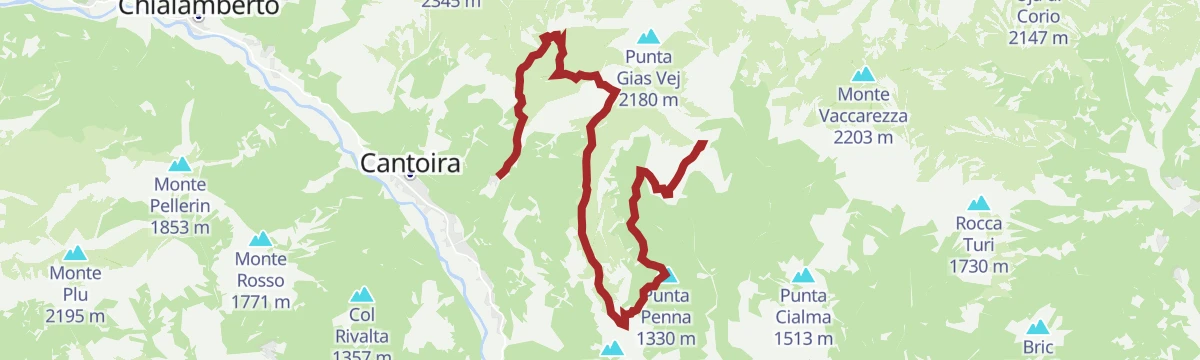
Tre Vallate: Tappa 3 Rifugio Salvin
14.1 km away, in Monastero di Lanzo
A stage over the Colle San Giacomo and the Colle della Forchetta above Monastero di Lanzo, skirting the slopes of Punta Penna.
- 14.0 km
- Distance
- 734 m
- Ascent
- 6 h 19 min
- Duration
- 19
- Check-ins
Tour dell'Uja: Tappa 1 Borgata Trambiè
13.1 km away, in Cantoira
A first stage out of Cantoira in the Valli di Lanzo, climbing over the Colle Balance and the shoulder of Monte di Santa Cristina.
- 10.8 km
- Distance
- 956 m
- Ascent
- 5 h 46 min
- Duration
- 15
- Check-ins
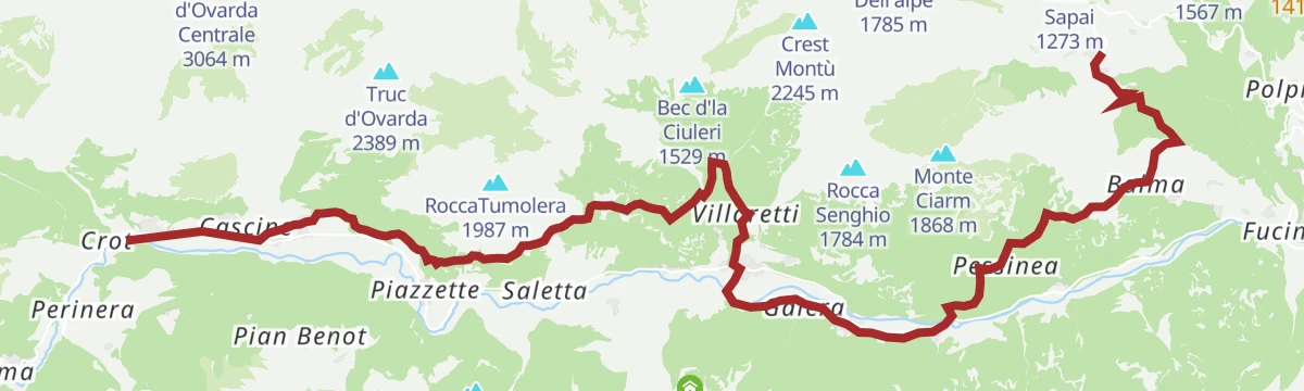
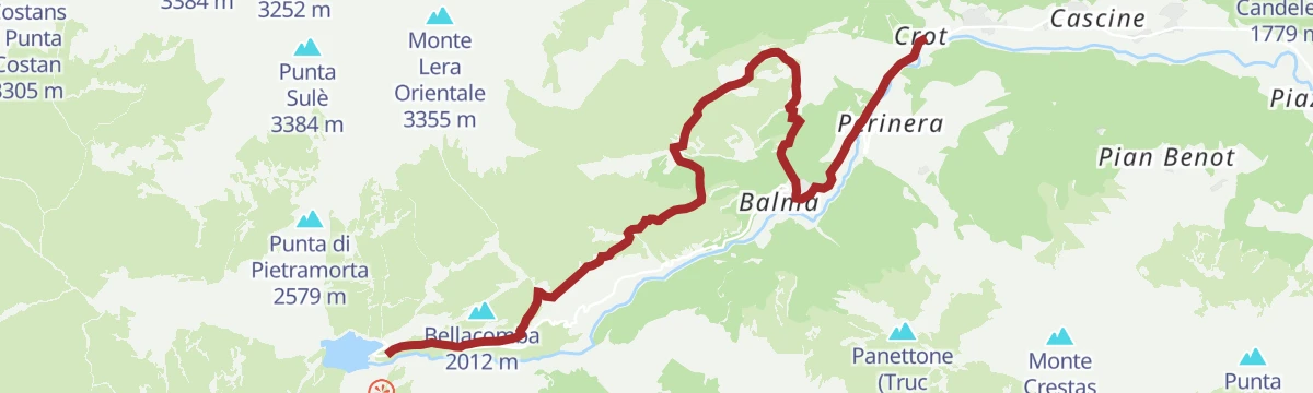
Trek Calcante: Tappa 4 Frazione Crot (Posto Tappa GTA)
14.7 km away, in Usseglio
A stage of the Calcante trek ending at the hamlet of Crot near Usseglio, a stopping place on the Grande Traversata delle Alpi.
- 9.0 km
- Distance
- 749 m
- Ascent
- 3 h 49 min
- Duration
- 10
- Check-ins
Tre Vallate: Tappa 4 Frazione Vrù
13.2 km away, in Cantoira
A demanding stage from the hamlets above Cantoira, climbing to the Colle della Paglia under the Uja di Bellavarda.
- 11.2 km
- Distance
- 1 402 m
- Ascent
- 7 h 53 min
- Duration
- 5
- Check-ins
Tre Vallate: Tappa 2 Rifugio Alpe Soglia
14.1 km away, in Monastero di Lanzo
A stage over the Colle della Croce di Intror and Monte Vaccarezza, linking Rifugio Salvin with Rifugio Alpe Soglia above Corio.
- 14.4 km
- Distance
- 1 237 m
- Ascent
- 7 h 34 min
- Duration
- 25
- Check-ins
Alta Via Canavesana: Tappa 3 Rifugio Salvin
14.1 km away, in Monastero di Lanzo
A high stage above Monastero di Lanzo, taking in the Lago di Monastero and the Colle Gavietta under the Uja di Bellavarda.
- 9.0 km
- Distance
- 2 345 m
- Ascent
- 12 h 44 min
- Duration
- 17
- Check-ins










No routes of this kind in Viù yet.
The region's own picks

Featured route
Anello Ceronda: Tappa 3 Col del Lys
A stage over Monte Arpone to the Col del Lys, the pass between the Viù and Ceronda valleys.
Planning a trip to Viù?
Everything else Piedmont has, in one place


Take Viù with you into the mountains
Every route on this page with 3D terrain, GPX navigation and offline maps — including the valleys with no signal.
Data sources
- Official website: turismotorino.org ↗
- Routes and highlights: Piemonte Outdoor, Turismovallidilanzo
- Published as open data by the tourist boards named above.
- Region summary generated from the board's own material.
