























Curated by APT Fiemme Cembra
Ville di Fiemme
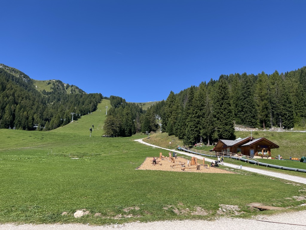
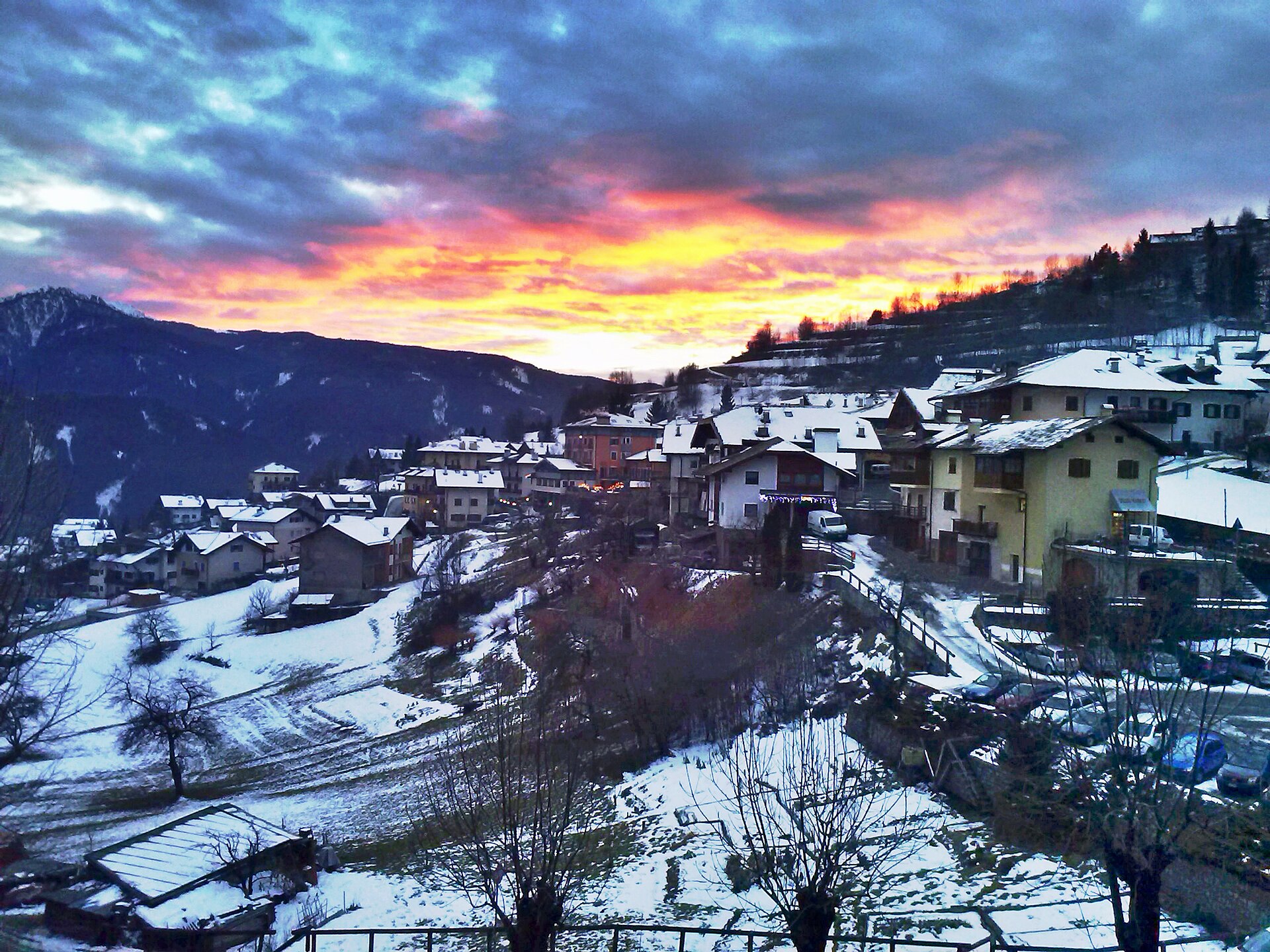
A Val di Fiemme comune of Carano, Daiano and Varena on the sunny terrace facing the Lagorai.
Photo: btristan · CC BY-SA 2.0 licence
- 10Highlights
- 54Routes
- Featured summit · Corno Nero
Highlights
All 10 from neighbouring places
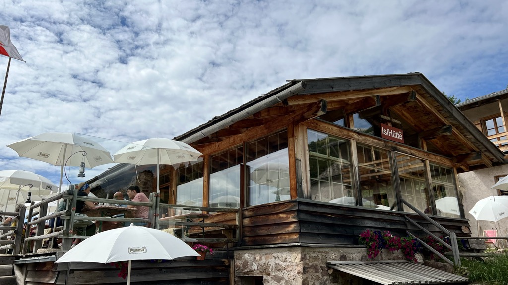
Malga ISI
2.4 km away, in Aldino/Aldein
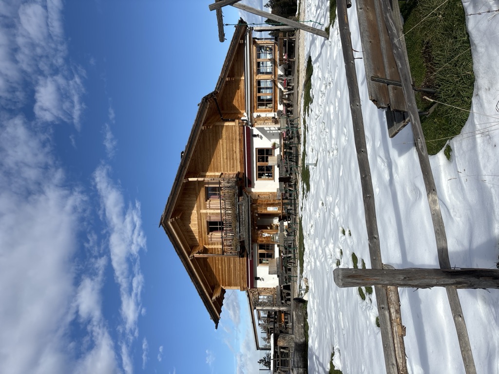
A dairy hut turned mountain restaurant above Aldino, on the Regglberg pastures below the Corno Bianco.
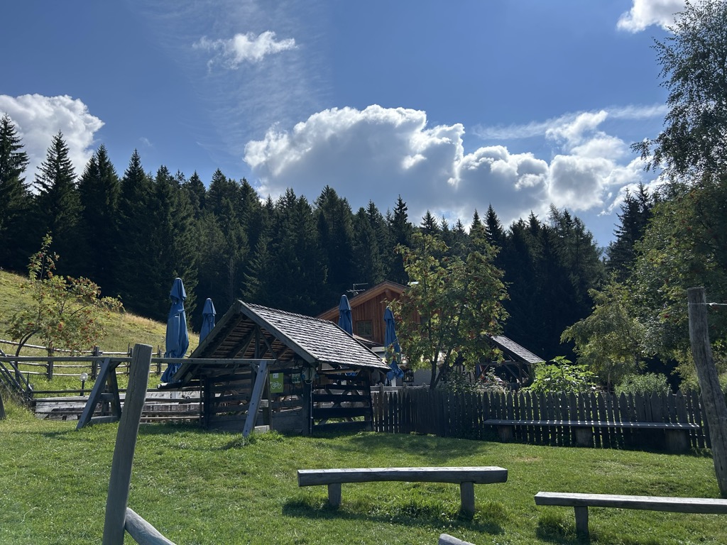
Malga Ristoro Isi
2.4 km away, in Aldino/Aldein
A pasture restaurant above Aldino, in the meadows of the Regglberg plateau below the Corno Bianco, near the Passo Oclini road.
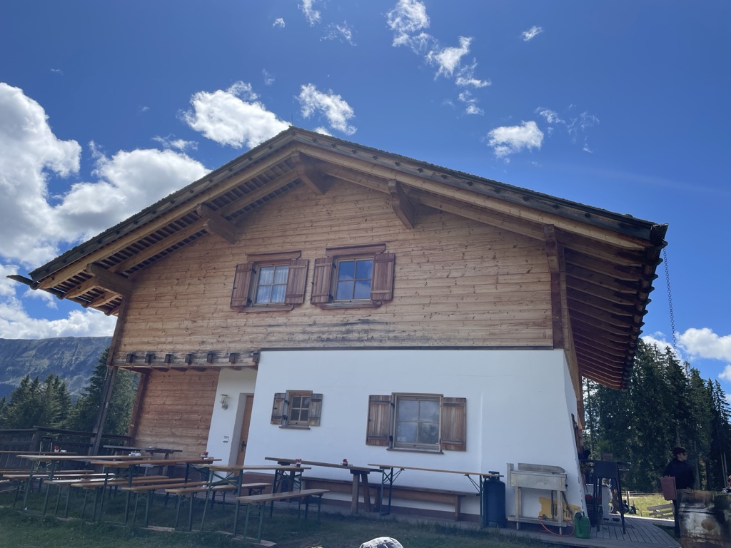
Sterzing, Pfitsch und FreienfeldMalga Lahner
5.8 km away, in Aldino/Aldein
A dairy hut on the Lahner pastures above Aldino, reached by the forest road that climbs from the village toward the Corno Bianco.
Malga Costa
5.8 km away, in Nova Ponente/Deutschnofen
A dairy hut on the Costa pastures above Nova Ponente, in the Val d'Ega below the Latemar.
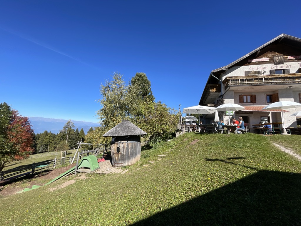
Sterzing, Pfitsch und FreienfeldAlbergo Schmiederalm
7 km away, in Aldino/Aldein
A pasture inn above Aldino, on the high Regglberg plateau between the Bletterbach gorge and the road to the Passo Oclini.
Malga Laab
7.3 km away, in Nova Ponente/Deutschnofen
A working dairy on the Laab pastures above Nova Ponente, in the woods and meadows of the Val d'Ega.
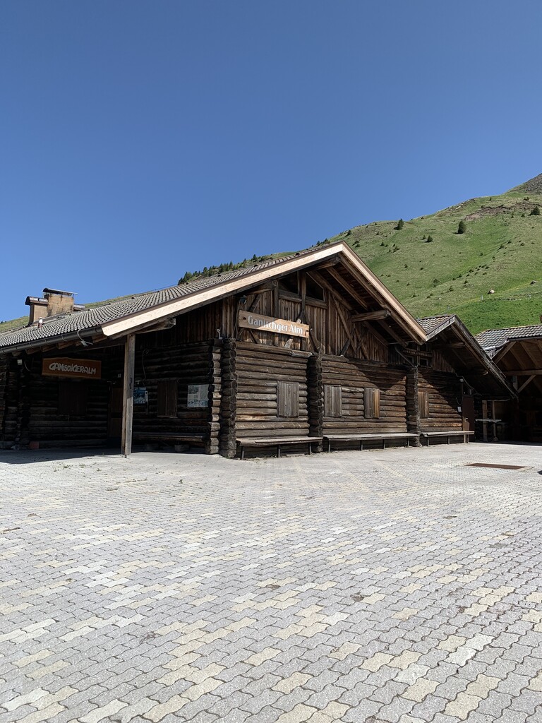
Malga Ganischger – The Mountain Party
8.4 km away, in Nova Ponente/Deutschnofen
A dairy hut on the pastures above Nova Ponente, near Obereggen at the foot of the Latemar.
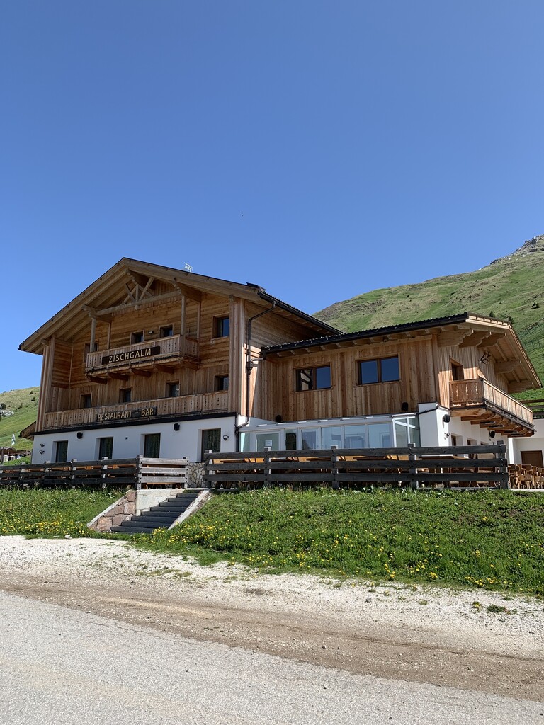
Malga Zischgalm
8.5 km away, in Nova Ponente/Deutschnofen
A pasture hut above Nova Ponente, reached on foot from the Obereggen side of the Val d'Ega.
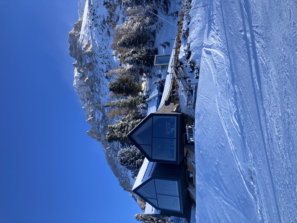
Rifugio Oberholz
9.3 km away, in Nova Ponente/Deutschnofen
A timber-and-glass mountain hut above Obereggen, at the top of the chairlift below the Latemar, in the comune of Nova Ponente.
Baita Gardoné – The Mountain Riviera
10.5 km away, in Predazzo
A baita on the Gardonè shelf above Predazzo, at the foot of the Latemar and reached by the cable car from the valley.
Nothing of this kind in Ville di Fiemme.
Routes
50 routes, an even mix of activities · see the rest on visitfiemme.it ↗
Lavazé - Malga Costa
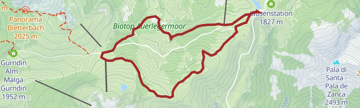
A near-level walk across the Lavazè meadows to Malga Costa, a hut at 1,750 m beside a pond, with the Latemar and Catinaccio in view.
- 4.9 km
- Distance
- 61 m
- Ascent
- 1 h 18 min
- Duration
- 56
- Check-ins
Open route Aldein RadeinTappa f2 | Oclini - Corno Nero - Redagno
From the Passo Oclini straight up the Corno Nero at 2,439 metres, back down to the pass and up the Corno Bianco, then down the Zirmersteig to Redagno di Sopra.
- 11.4 km
- Distance
- 775 m
- Ascent
- 6 h 1 min
- Duration
- 196
- Check-ins
 Weißhorn - Corno Bianco 2 317 m
- Corno Nero 2 439 m
 Jochgrimm - Passo Oclini 1 989 m
 Berghotel Jochgrimm 1 993 m
- Hotel Schwarzhorn 2 011 m
 Bacino Innevamento artificiale Oclini 2 069 m
- +1
Open route Sterzing, Pfitsch und FreienfeldThe chromatic contrast of Corno Nero and Corno Bianco
A loop from the Passo Oclini over both peaks that frame it: the Corno Nero of dark volcanic porphyry and the dolomitic Corno Bianco, facing the Lagorai and the Val di Fiemme.
- 12.6 km
- Distance
- 934 m
- Ascent
- 6 h 8 min
- Duration
- 249
- Check-ins
- Weißhorn - Corno Bianco 2 317 m
- Corno Nero 2 439 m
- Il Palone 2 347 m
- Cime Di Ronchese 2 147 m
- Jochgrimm - Passo Oclini 1 989 m
- Berghotel Jochgrimm 1 993 m
- +7
Open route APT Fiemme CembraBase line
A gentle forest-road link between Passo Oclini and Passo di Lavazè, mostly downhill in this direction and signposted for riding either way.
- 4.0 km
- Distance
- 10 m
- Ascent
- 25 min
- Duration
- 136
- Check-ins
- Jochgrimm - Passo Oclini 1 989 m
- Passo di Lavazè 1 807 m
- Berghotel Jochgrimm 1 993 m
- Auerleger Alm - Malga Ora 1 877 m
Open route Aldein RadeinGiro d'Italia Climbs - Lavazè Pass
A road climb from the Val di Fiemme up to the Passo di Lavazè at 1,807 m, with over 800 m of ascent in under 10 km.
- 10.0 km
- Distance
- 804 m
- Ascent
- 1 h 24 min
- Duration
- 40
- Check-ins
Open route APT Fiemme CembraLatemar Tour
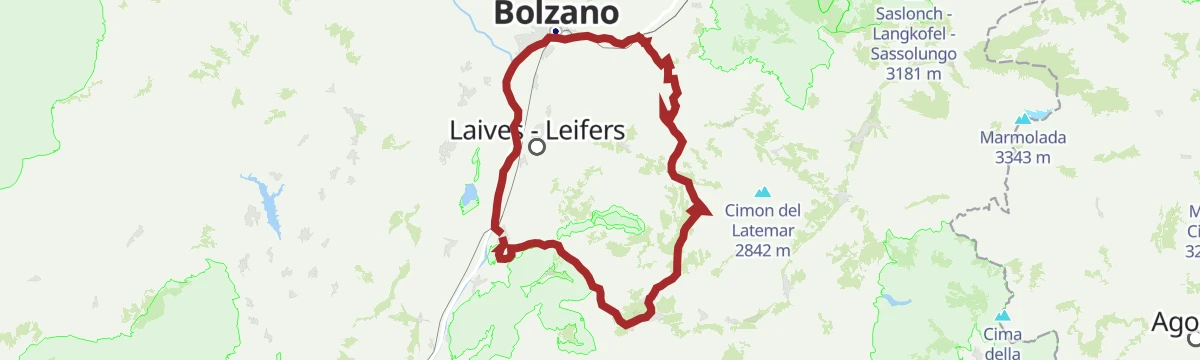
A long road circuit of the Latemar, over the Passo di Costalunga past the Lago di Carezza and back across the Passo di Lavazè.
- 74.4 km
- Distance
- 2 039 m
- Ascent
- 8 h 31 min
- Duration
- 603
- Check-ins
- Karer See - Lago di Carezza 1 533 m
- Passo di Costalunga - Karerpass 1 745 m
- Bar & Imbiss Kareesee 1 559 m
- Antermont 1 759 m
- Passo di Lavazè 1 807 m
- GolfHotel 1 754 m
- +24
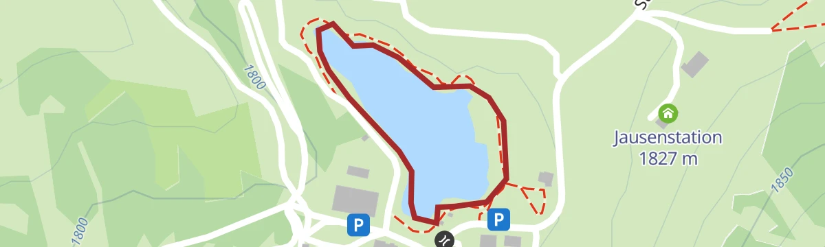
Open route APT Fiemme CembraLaghetto Naturale PS
A very short walk at a natural pond on the Lavaze plateau above the Fiemme valley.
- 655 m
- Distance
- 0 m
- Ascent
- 9 min
- Duration
- 42
- Check-ins
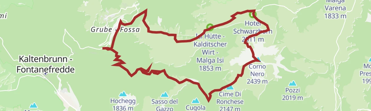
Oclini - Corno Nero round hike
A loop from the Passo Oclini to the summit of the Corno Nero and down to the Passo Cugola, crossing grazed meadow, forest, high pasture and bare rock.
- 8.2 km
- Distance
- 603 m
- Ascent
- 3 h 58 min
- Duration
- 152
- Check-ins
- Corno Nero 2 439 m
- Il Palone 2 347 m
- Cime Di Ronchese 2 147 m
- Jochgrimm - Passo Oclini 1 989 m
- Berghotel Jochgrimm 1 993 m
- Hotel Schwarzhorn 2 011 m
- +4
Open route Aldein RadeinDolomites World Heritage Geotrail – Stage 1: from the Bletterbach to the Lavazèjoch pass- From land to sea
The first Geotrail stage, out of the Bletterbach gorge up to the Weißhorn summit, climbing through rock layers that record 40 million years of land turning into sea.
- 12.0 km
- Distance
- 968 m
- Ascent
- 5 h 43 min
- Duration
- 203
- Check-ins
- Weißhorn - Corno Bianco 2 317 m
- Jochgrimm - Passo Oclini 1 989 m
- Passo di Lavazè 1 807 m
- Berghotel Jochgrimm 1 993 m
- Auerleger Alm - Malga Ora 1 877 m
Open route Südtirols SüdenTrodena-Connection Cycle Route Val di Fiemme
A short ride from the village to Fontanefredde and over the Passo San Lugano, then downhill to Molina and the Fiemme valley path.
- 11.5 km
- Distance
- 114 m
- Ascent
- 1 h 14 min
- Duration
- 19
- Check-ins
Open route Südtirols SüdenTour Pampeago - Passo Lavazè
Two hard road climbs in one loop out of Tesero, topping out at the Reiterjoch at 1,983 m and again on the Lavazè plateau.
- 40.3 km
- Distance
- 1 580 m
- Ascent
- 5 h 4 min
- Duration
- 343
- Check-ins
- Baita della Scofa 2 006 m
- Zischgalm 2 010 m
- Passo di Lavazè 1 807 m
- Ganischger Alm 2 017 m
- Reiterjoch - Passo di Pampeago 1 983 m
- Ski Bar 1 761 m
- +14
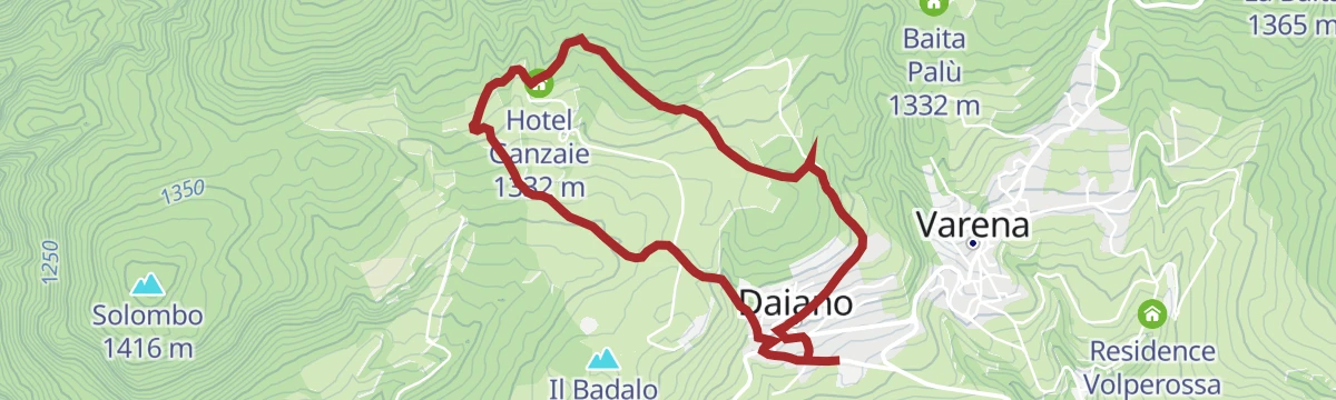
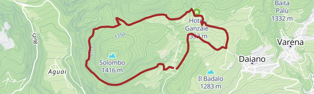
Open route APT Fiemme CembraThe charm of the meadows and woods in the Ganzaie area
A walk out of Daiano on quiet lanes to the pastures and larch woods above, with the Lagorai chain across the valley.
- 4.7 km
- Distance
- 218 m
- Ascent
- 1 h 37 min
- Duration
- 5
- Check-ins
- Casa dello Speck da Tito 1 264 m
- Hotel Ganzaie 1 332 m
- Laghetto di Daiano 1 250 m
Open route APT Fiemme CembraJochgrimm - Schwarzhorn
A circuit to the Schwarzhorn, looking out to the Rosengarten and Latemar, the Pelmo and the Pale di San Martino, the Lagorai, the Ortler and the Brenta.
- 6.9 km
- Distance
- 534 m
- Ascent
- 3 h 29 min
- Duration
- 134
- Check-ins
- Corno Nero 2 439 m
- Il Palone 2 347 m
- Jochgrimm - Passo Oclini 1 989 m
- Berghotel Jochgrimm 1 993 m
- Hotel Schwarzhorn 2 011 m
- Self Service Restaurant Hotel Schwarzhorn 2 008 m
Open route Südtirols SüdenOclini - giro dei Corni
A demanding round from the Passo Oclini car park over the Corno Bianco and the Corno Nero, which can be taken in either order.
- 15.8 km
- Distance
- 1 249 m
- Ascent
- 8 h 5 min
- Duration
- 203
- Check-ins
- Weißhorn - Corno Bianco 2 317 m
- Corno Nero 2 439 m
- Il Palone 2 347 m
- Jochgrimm - Passo Oclini 1 989 m
- Berghotel Jochgrimm 1 993 m
- Hotel Schwarzhorn 2 011 m
- +2
Open route Sterzing, Pfitsch und FreienfeldAltrei/Antrevio Panorama Tour
An easy gravel loop on forest roads in the Naturpark Trudner Horn, passing Malga Pausa and Malghette at around 1,480 m.
- 11.6 km
- Distance
- 427 m
- Ascent
- 1 h 26 min
- Duration
- 1
- Check-ins
Open route Südtirols SüdenRoad Bike Adventure to Lavazé Joch: Steep Passes and Breathtaking Views
A hard road climb from the Adige floor at Auer to the Passo di Lavazè, taking the San Lugano saddle on the way.
- 94.1 km
- Distance
- 2 374 m
- Ascent
- 10 h 35 min
- Duration
- 240
- Check-ins
- Passo di Lavazè 1 807 m
- Mila Bistro 282 m
- Kampill Center 270 m
- Hiasele 312 m
- Agrocenter Bozen OHG 296 m
- Passo di San Lugano - San-Lugano-Sattel 1 097 m
- +25
Open route Südtirols SüdenAn excursion and a lupine coffee at Malga Malghette
A steady climb through forest and Vaia-hit ground to Malga Malghette, past biotope meadows full of gentians, which may not be picked.
- 3.4 km
- Distance
- 154 m
- Ascent
- 1 h 10 min
- Duration
- 4
- Check-ins
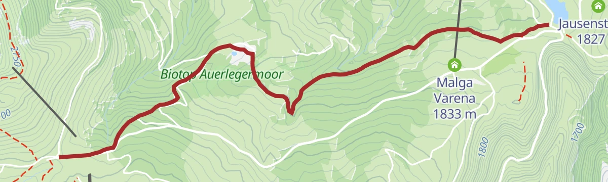
Open route APT Fiemme CembraLavazè - Oclini (round hike)
A circuit between the Oclini pass and the Lavaze plateau, coming back by way of Malga Ora.
- 8.8 km
- Distance
- 219 m
- Ascent
- 2 h 37 min
- Duration
- 88
- Check-ins
- Passo di Lavazè 1 807 m
- Auerleger Alm - Malga Ora 1 877 m
- Malga Varena 1 833 m
- Hotel Schwarzhorn 2 011 m
- Self Service Restaurant Hotel Schwarzhorn 2 008 m
Open route Aldein RadeinTappa f2 | Redagno - Oclini - Corno Nero
From Redagno di Sopra on the Zirmersteig through thinning alpine vegetation to the Corno Bianco, down to the Passo Oclini and up again to the Corno Nero.
- 11.4 km
- Distance
- 1 221 m
- Ascent
- 6 h 34 min
- Duration
- 196
- Check-ins
- Weißhorn - Corno Bianco 2 317 m
- Corno Nero 2 439 m
- Jochgrimm - Passo Oclini 1 989 m
- Berghotel Jochgrimm 1 993 m
- Hotel Schwarzhorn 2 011 m
- Bacino Innevamento artificiale Oclini 2 069 m
- +1
Open route Sterzing, Pfitsch und FreienfeldGravel route - Lavazè Plateau and Butterloch
A dirt-road loop over Jochgrimm - Passo Oclini at nearly 2,000 m, past Malga Varena and Malga Ora on tracks through pasture and pine wood.
- 42.5 km
- Distance
- 1 028 m
- Ascent
- 4 h 44 min
- Duration
- 170
- Check-ins
- Guggenbichl 1 866 m
- Jochgrimm - Passo Oclini 1 989 m
- Passo di Lavazè 1 807 m
- Berghotel Jochgrimm 1 993 m
- Auerleger Alm - Malga Ora 1 877 m
- Malga Varena 1 833 m
- +5
Open route APT Fiemme CembraMontagna Senza Limiti - The "climb" to Malghette
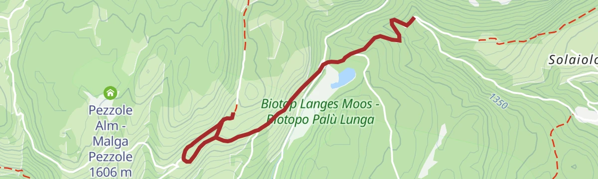
A route made passable by all-terrain wheelchair through mixed spruce, birch and larch, past the Palu Longa pond with its July water lilies, to a view of the Lagorai.
- 3.9 km
- Distance
- 161 m
- Ascent
- 1 h 19 min
- Duration
- 4
- Check-ins
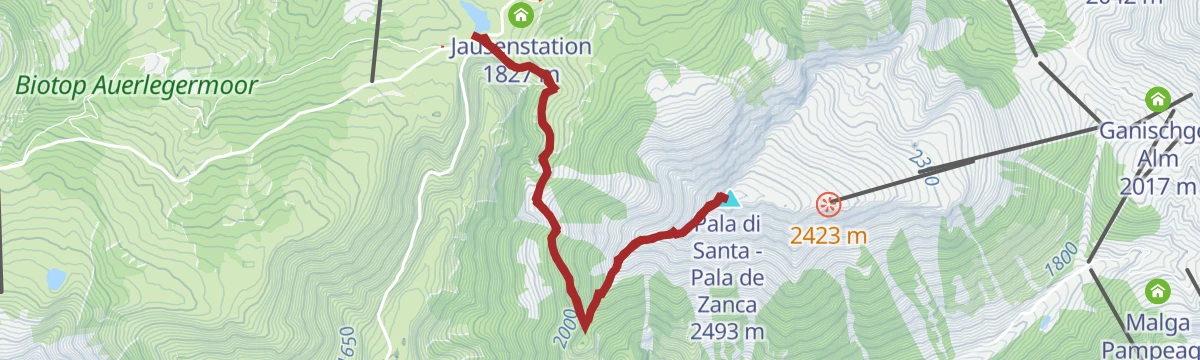
Open route APT Fiemme CembraPala di Santa: a tour between Lavazè and Pampeago
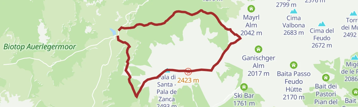
From the open Lavaze plateau through fir and pine to a broad ridge of volcanic rock and sheep pasture, up to the summit cross, then down the pistes to Pampeago.
- 10.6 km
- Distance
- 772 m
- Ascent
- 5 h 5 min
- Duration
- 79
- Check-ins
- Pala di Santa - Pala de Zanca 2 493 m
- Passo di Lavazè 1 807 m
- Reiterjoch - Passo di Pampeago 1 983 m
Open route APT Fiemme CembraAlpine dairy tour at Passo Lavazè
A long round over the Lavaze plateau and the Oclini pass between the dark porphyry of Corno Nero and the white dolomite of Corno Bianco, by three working dairies.
- 20.6 km
- Distance
- 417 m
- Ascent
- 5 h 51 min
- Duration
- 180
- Check-ins
- Guggenbichl 1 866 m
- Jochgrimm - Passo Oclini 1 989 m
- Passo di Lavazè 1 807 m
- Berghotel Jochgrimm 1 993 m
- Auerleger Alm - Malga Ora 1 877 m
- Malga Varena 1 833 m
- +3
Open route APT Fiemme CembraSantuario di Pietralba
A big road day from the Fiemme valley over the Passo di Lavazè and the Passo di Pramadiccio to the sanctuary above Aldino.
- 59.4 km
- Distance
- 1 701 m
- Ascent
- 6 h 53 min
- Duration
- 93
- Check-ins
- Passo di Lavazè 1 807 m
- Cappella della Beata Vergine del Rosario della nuova Pompei 985 m
- Hotel Erica 1 224 m
- Al Ponte - Brückenwirt 764 m
- Lago di Lavazè 1 805 m
- Passo di Pramadiccio 1 431 m
- +10
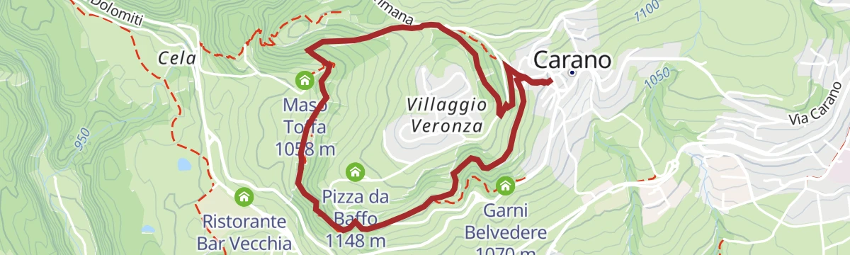
Open route APT Fiemme CembraCarano - The pine walk
A circuit of the Dosso Veronza at Carano on narrow lanes and paths, with boards on the plants and animals along the way.
- 4.0 km
- Distance
- 160 m
- Ascent
- 1 h 21 min
- Duration
Open route APT Fiemme CembraLavazé - Malga Ora - 8km
A round from Lavaze by the Guggenbichel, where the Catinaccio, Latemar, Corno Nero and Corno Bianco all show, with Malga Ora for a stop.
- 7.9 km
- Distance
- 137 m
- Ascent
- 2 h 11 min
- Duration
- 74
- Check-ins
Open route Aldein RadeinUnterradein/Redagno di Sotto - Schwarzhorn/Corno Nero
A long climb to the Schwarzhorn, higher of the two pyramid peaks that close the Dolomites to the south, with distant views from the Ortler to the Schlern.
- 17.7 km
- Distance
- 1 234 m
- Ascent
- 8 h 14 min
- Duration
- 165
- Check-ins
- Corno Nero 2 439 m
- Il Palone 2 347 m
- Cime Di Ronchese 2 147 m
- Jochgrimm - Passo Oclini 1 989 m
- Berghotel Jochgrimm 1 993 m
- Hotel Schwarzhorn 2 011 m
- +7
Open route Südtirols SüdenRoadbike: Valle di Cembra
A hundred-kilometre road tour from the Weinstraße down to Lavis, then up the terraced Cembra valley and back over the San Lugano pass.
- 99.7 km
- Distance
- 1 141 m
- Ascent
- 9 h 55 min
- Duration
- 64
- Check-ins
- Prati Del Diavolo 208 m
- Cappella della Beata Vergine del Rosario della nuova Pompei 985 m
- Al Ponte - Brückenwirt 764 m
- Ristorante Bar Vecchia Stazione 1 010 m
- B&B Casa Giovannelli 1 013 m
- Hotel Pausa 922 m
- +10
Open route Südtirols SüdenLooking for solitude at Malga Fraul
A quiet walk on the far edge of the Fiemme valley through pasture and larch, passing the Larice di Confine, a monumental tree with a huge trunk.
- 5.5 km
- Distance
- 149 m
- Ascent
- 1 h 39 min
- Duration
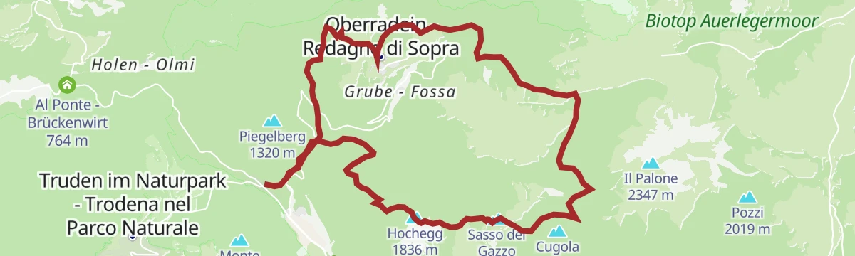
Open route APT Fiemme CembraTappa f | Oclini - Corno Nero - Trodena
About 500 metres of climbing from the Passo Oclini to the Corno Nero, then down its far side to the Passo Cugola above the Val di Fiemme and the Leitensteig to the Fontanefredde ice holes.
- 14.5 km
- Distance
- 807 m
- Ascent
- 7 h 17 min
- Duration
- 71
- Check-ins
- Corno Nero 2 439 m
- Il Palone 2 347 m
- Cime Di Ronchese 2 147 m
- Sasso del Gazzo 2 027 m
- Hochegg 1 836 m
- Hotel Schwarzhorn 2 011 m
- +4
Open route Sterzing, Pfitsch und FreienfeldTappa f | Trodena - Corno Nero - Oclini
The demanding leg from Trodena over the Corno Nero to the Passo Oclini, by way of Fontanefredde, the ice holes and the Passo Cugola.
- 14.5 km
- Distance
- 1 633 m
- Ascent
- 8 h 16 min
- Duration
- 71
- Check-ins
- Corno Nero 2 439 m
- Il Palone 2 347 m
- Cime Di Ronchese 2 147 m
- Sasso del Gazzo 2 027 m
- Hochegg 1 836 m
- Hotel Schwarzhorn 2 011 m
- +4
Open route Sterzing, Pfitsch und FreienfeldGravel Tour - Val di Fiemme
A gravel loop touching most villages of the valley, over the Passo di San Lugano and back to Predazzo on the cycle path beside the Avisio.
- 52.4 km
- Distance
- 1 021 m
- Ascent
- 5 h 37 min
- Duration
- 57
- Check-ins
- Bistrot & Shop - Caseificio Sociale Predazzo e Moena 987 m
- CRM 1 001 m
- Passo di San Lugano - San-Lugano-Sattel 1 097 m
- Antonio Longo 1 104 m
- Hotel Erica 1 224 m
- Hotel Ganzaie 1 332 m
- +4
Open route APT Fiemme CembraRoute "The Resilient Forest of Storm Vaia"
A short route through ground flattened by the Vaia storm of October 2018, when whole slopes of the Fiemme valley came down.
- 2.9 km
- Distance
- 127 m
- Ascent
- 60 min
- Duration
Open route APT Fiemme CembraLavazè - Pala di Santa
A walk from the open ground of the Lavaze plateau up to the viewpoint summit of Pala di Santa.
- 7.4 km
- Distance
- 678 m
- Ascent
- 4 h 14 min
- Duration
- 48
- Check-ins
Open route Aldein RadeinCircumnavigation Nature Park Monte Corno
A full loop of the Monte Corno park on the E5 by the Ziss saddle and the Horn Alm, facing the Lagorai and the Pale di San Martino, back along the old railway.
- 24.1 km
- Distance
- 895 m
- Ascent
- 7 h 51 min
- Duration
- 37
- Check-ins
- Malga Monte Corno - Trudner Horn Alm 1 710 m
- Passo di San Lugano - San-Lugano-Sattel 1 097 m
- Passo Cisa - Ziss-Sattel 1 448 m
- Krabes Alm - Le Malghette 1 542 m
- Malga Pausa 1 480 m
- Malghette 1 472 m
Open route Südtirols SüdenGravel Tour - Larch Route
A gravel loop out of the Val di Fiemme over the Passo di San Lugano, taking in the Malga Salanzada and the Baita Tabià.
- 51.5 km
- Distance
- 1 189 m
- Ascent
- 5 h 42 min
- Duration
- 51
- Check-ins
- Malga Salanzada 1 033 m
- Passo di San Lugano - San-Lugano-Sattel 1 097 m
- Antonio Longo 1 104 m
- Hotel Lagorai Alpine Resort & Spa 1 012 m
- Baita Tabià 1 099 m
- Hotel Waldheim 1 219 m
- +8
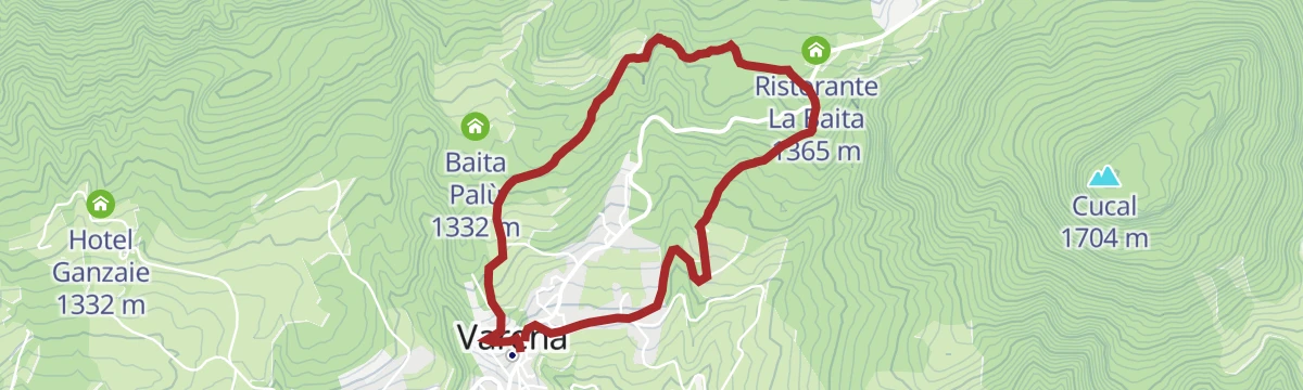
Open route APT Fiemme CembraThe cherry tree and the crucifix of Varena
A walk above Varena to a bench under a heavy wooden crucifix, then on to Palu, marshy ground of some botanical value.
- 4.5 km
- Distance
- 197 m
- Ascent
- 1 h 33 min
- Duration
Open route APT Fiemme CembraOclini - Corno nero
The higher of the two Oclini peaks, a slightly harder pull than the Corno Bianco, with a broad top and large cross above the Val di Fiemme, the Lagorai and the Pale di San Martino.
- 4.4 km
- Distance
- 446 m
- Ascent
- 2 h 43 min
- Duration
- 48
- Check-ins
- Corno Nero 2 439 m
- Hotel Schwarzhorn 2 011 m
- Bacino Innevamento artificiale Oclini 2 069 m
- Self Service Restaurant Hotel Schwarzhorn 2 008 m
Open route Aldein RadeinTrenches and the Brozin Biotope - Tour 923
A long round through the meadows and villages around Cavalese into the Solombo forest, past overgrown Great War trenches and the Brozin wetland.
- 25.8 km
- Distance
- 667 m
- Ascent
- 7 h 42 min
- Duration
- 26
- Check-ins
- Passo di San Lugano - San-Lugano-Sattel 1 097 m
- Antonio Longo 1 104 m
- Hotel Lagorai Alpine Resort & Spa 1 012 m
- Hotel Ganzaie 1 332 m
- Residence Volperossa 1 129 m
- Visit Fiemme 999 m
- +2
Open route APT Fiemme CembraMount Horn Nature Park
A long road tour from Ziano di Fiemme over to the Trudner Horn nature park, returning up the Fiemme valley past the Vecchia Stazione.
- 50.7 km
- Distance
- 755 m
- Ascent
- 5 h 12 min
- Duration
- 29
- Check-ins
- Misconel Srl 894 m
- Ristorante Bar Vecchia Stazione 1 010 m
- Capanna 939 m
- Hotel Lagorai Alpine Resort & Spa 1 012 m
- Hotel Waldheim 1 219 m
- Antico Mas del Medico 854 m
- +4
Open route APT Fiemme CembraAnello Malga Costa
A loop north from Lavaze on easy forest roads through protected woodland by the Guggenbichl hill and the Rio Nero, passing Malga Ora.
- 10.3 km
- Distance
- 189 m
- Ascent
- 2 h 53 min
- Duration
- 44
- Check-ins
Open route Aldein RadeinTrodena-Anterivo-Trodena
A long round from Trodena down to the old sawmill, up the Kaltwasser valley to the Passo Cisa and the Malghette, then back by Anterivo and the railway bed.
- 23.5 km
- Distance
- 696 m
- Ascent
- 7 h 13 min
- Duration
- 22
- Check-ins
- Passo di San Lugano - San-Lugano-Sattel 1 097 m
- Passo Cisa - Ziss-Sattel 1 448 m
- Krabes Alm - Le Malghette 1 542 m
- Malga Pausa 1 480 m
- Malghette 1 472 m
Open route Südtirols SüdenFiemme Old Railway
A ride from the Val di Fiemme over the Passo di San Lugano, then down the old railway trackbed and its tunnels towards Ora.
- 24.3 km
- Distance
- 286 m
- Ascent
- 2 h 42 min
- Duration
- 26
- Check-ins
- Passo di San Lugano - San-Lugano-Sattel 1 097 m
- ex Stazione di Pausa 962 m
- House Castelfeder 331 m
- Elsenhof 644 m
- Laghetto di Brozin 996 m
Open route APT Fiemme CembraLavazè - Baita Pozzi
An easy walk through wood around the Corno Nero to the Baita Pozzi, an open shelter on a saddle looking to the Lagorai and the Fiemme valley.
- 11.4 km
- Distance
- 410 m
- Ascent
- 3 h 40 min
- Duration
- 42
- Check-ins
Open route Aldein RadeinLeitenspitze (2027 m)
A long ascent from Fontanefredde by Redagno to the Leitenspitze, a 2,027-metre top on the southern edge of South Tyrol.
- 18.8 km
- Distance
- 1 084 m
- Ascent
- 7 h 36 min
- Duration
- 17
- Check-ins
- Sasso del Gazzo 2 027 m
- Hochegg 1 836 m
- Passo Cùgola 1 923 m
- Mauracher Schupf 1 847 m
- Zirmerhof 1 550 m
Open route Südtirols SüdenGravel route - Solombo and Waterfall
A gravel route above the Avisio by the Malga Arodolo, taking in the Cavalese waterfall before the last climb.
- 48.3 km
- Distance
- 1 050 m
- Ascent
- 5 h 17 min
- Duration
- 8
- Check-ins
- Ristorante Pizzeria Pineta 861 m
- Hotel Ganzaie 1 332 m
- Residence Volperossa 1 129 m
- Agritur Malga Arodolo 1 217 m
- Maso Novelli 815 m
- Maso Toffa 1 058 m
- +2
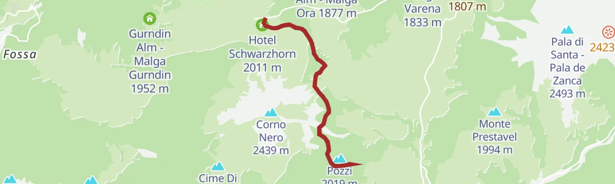
Open route APT Fiemme CembraOclini - Baita Pozzi
An easy walk through woods round the Corno Nero to the Baita Pozzi on a grassy saddle above the Lagorai and the Fiemme valley; the hut is open to all for cooking and sleeping.
- 7.0 km
- Distance
- 136 m
- Ascent
- 1 h 58 min
- Duration
- 21
- Check-ins
- Hotel Schwarzhorn 2 011 m
- Baita Pozzi 1 971 m
- Sella dei Pozzi 1 980 m
- Self Service Restaurant Hotel Schwarzhorn 2 008 m
Open route Aldein Radein"Solombo" walk in the nearby of Carano village
A forest road from the meadows of Calvello over the Solombo hill north of Carano to the open pastures of Ganzaie, good ground for berries and porcini.
- 7.3 km
- Distance
- 211 m
- Ascent
- 2 h 13 min
- Duration
- 5
- Check-ins
- Casa dello Speck da Tito 1 264 m
- Hotel Ganzaie 1 332 m
- Laghetto di Daiano 1 250 m
Open route APT Fiemme CembraCircumnavigation of Anterivo
A loop right around Anterivo on gravel forest roads inside the Trudner Horn nature park, gentle enough for leisure cyclists.
- 12.9 km
- Distance
- 429 m
- Ascent
- 4 h 4 min
- Duration
- 5
- Check-ins
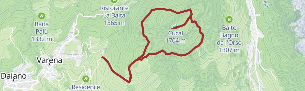
Open route Südtirols SüdenTour of Monte Cucal
A round of the wooded Cucal above Carano, Daiano, Varena and Tesero, from larch and spruce to dry pine slopes, topping out in an airy larch wood.
- 7.4 km
- Distance
- 535 m
- Ascent
- 3 h 31 min
- Duration
- 2
- Check-ins
Open route APT Fiemme Cembra
No routes of this kind in Ville di Fiemme yet.
The region's own picks

Featured route
Lavazé - Malga Costa
A near-level walk across the Lavazè meadows to Malga Costa, a hut at 1,750 m beside a pond, with the Latemar and Catinaccio in view.
Planning a trip to Ville di Fiemme?
Everything else Trentino-Alto Adige/Südtirol has, in one place


Take Ville di Fiemme with you into the mountains
Every route on this page with 3D terrain, GPX navigation and offline maps — including the valleys with no signal.
Data sources
- Official website: visitfiemme.it ↗
- Routes and highlights: APT Fiemme Cembra, Sterzing, Pfitsch und Freienfeld, Südtirols Süden, Aldein Radein, Visit Trentino
- Published as open data by the tourist boards named above.
- Region summary generated from the board's own material.
