










Curated by Valtellina Outdoor
Valdisotto
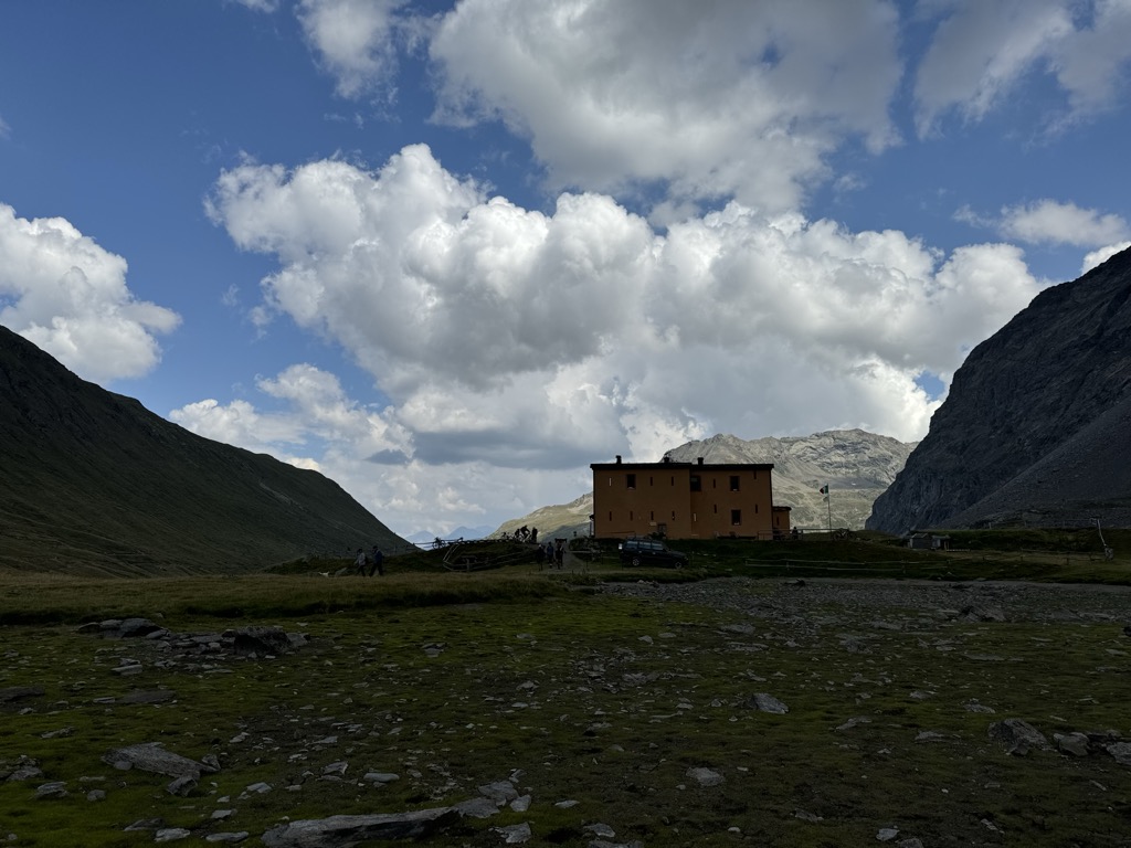
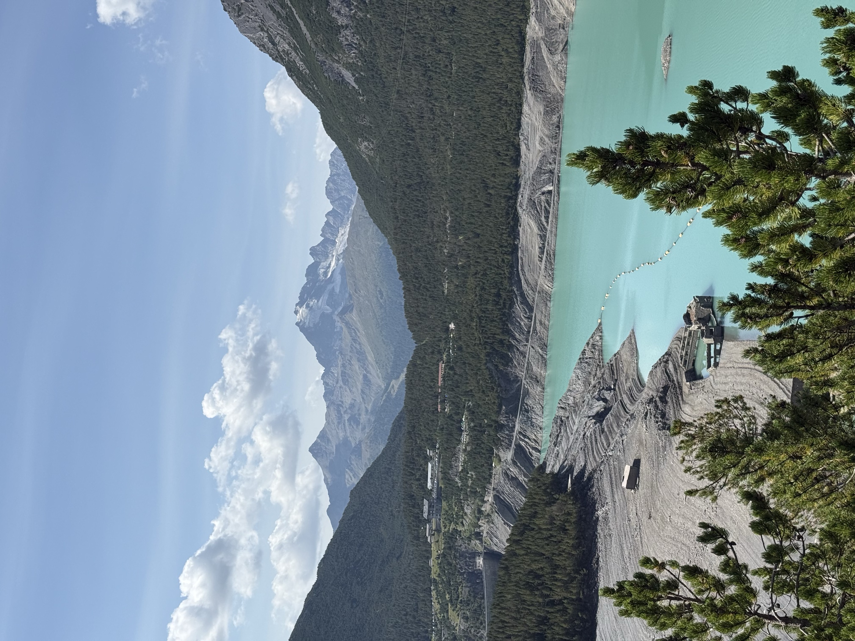
Valtellina comune above Bormio, with the Santa Barbara sanctuary and the ski slopes running down from the Stelvio park.
- 1Highlights
- 77Routes
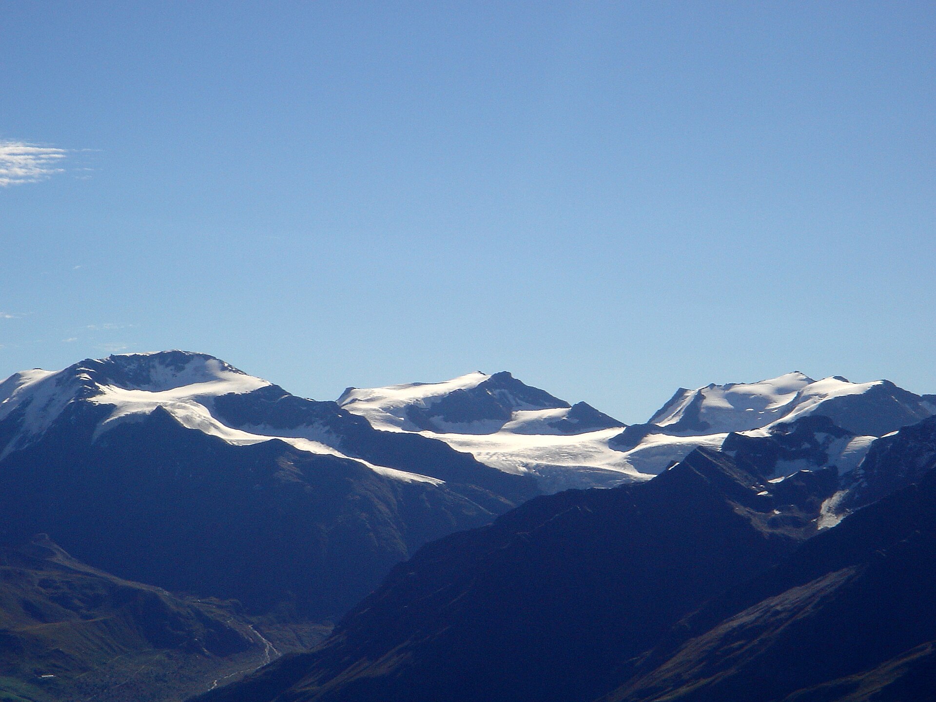
- Featured summit · Cima de' Piazzi
Highlights
All 1 from neighbouring places
Rifugio Viola
15 km away, in Valdidentro
A refuge in the Val Viola above Arnoga, in the Alta Valtellina, a base for the Cima Viola and the pass over into the Val Poschiavo.
Nothing of this kind in Valdisotto.
Routes
50 routes, an even mix of activities · see the rest on bormio.eu ↗
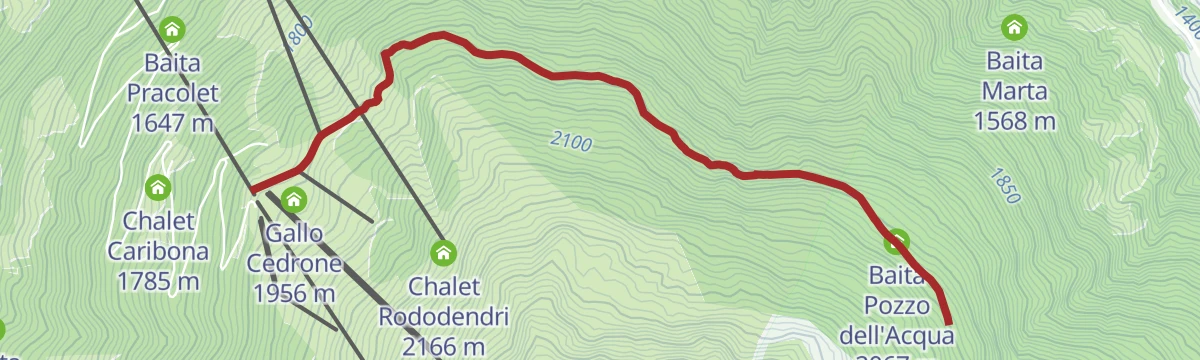
Stelvio Family Trek: Path of Purity - Bormio 2,000
A family loop from Bormio 2000 on a shaded water trail through the woods, with boards on the part water plays in the alpine cycle.
- 3.8 km
- Distance
- 160 m
- Ascent
- 1 h 8 min
- Duration
- 23
- Check-ins
 Gallo Cedrone 1 956 m
- Hotel Girasole Bormio 2000 1 930 m
- Baita Pozzo dell'Acqua 2 067 m
- Hotel Gallo Cedrone 1 950 m
Open route Valtellina OutdoorProfa Lakes
A high traverse from the top of the Bormio 3000 lift past the small Profa tarns and the Bocca di Profa to Sobrettina and La Rocca.
- 14.6 km
- Distance
- 293 m
- Ascent
- 5 h 8 min
- Duration
- 90
- Check-ins
 Cima Bianca 3 015 m
- Heaven 3000 3 012 m
- Chalet la Rocca 2 160 m
- Chalet Rododendri 2 166 m
- Baita Lecciona 2 043 m
 I Bei Laghetti 2 736 m
- +2
Open route Valtellina OutdoorAt the foot of Cima Piazzi
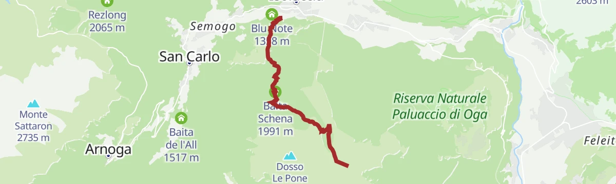
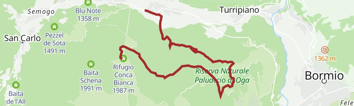
A long traverse from Isolaccia under the north side of Cima Piazzi, through Val Bocciana and Val Fochin to the Oga fort and down the Adda to Bormio.
- 23.1 km
- Distance
- 867 m
- Ascent
- 7 h 43 min
- Duration
- 45
- Check-ins
- Rifugio Conca Bianca 1 987 m
- Blu Note 1 358 m
- Hotel al Forte 1 709 m
- Presa d'aria 1 736 m
- Buiol 1 476 m
- Pezzel del Maestro 1 432 m
- +6
Open route Valtellina OutdoorStelvio Natural Skimo Trail - Bormio 2,000
A short ski-mountaineering track from the Bormio 2000 lift station up through woods to the La Rocca and Rododendri huts.
- 1.6 km
- Distance
- 215 m
- Ascent
- 0 m
- Descent
- 40 min
- Duration
- 49
- Check-ins
- Gallo Cedrone 1 956 m
- Chalet la Rocca 2 160 m
- Chalet Rododendri 2 166 m
- Laghetti 2 048 m
- Hotel Girasole Bormio 2000 1 930 m
- Hotel Gallo Cedrone 1 950 m
Open route Valtellina OutdoorMTB: San Colombano - Happy Tour (Live)
A short, nearly flat trail on the plateau above Valdisotto, linking the Monte Masucco lift stations with Baita Schena at just under 2,000 m.
- 6.0 km
- Distance
- 10 m
- Ascent
- 55 min
- Duration
- 3
- Check-ins
Open route Valtellina OutdoorFreeride MTB Route Bormio 3000 - Santa Caterina Valfurva
A long descent from the lift top at just over 3,000 m past the Bei Laghetti tarns and the Bocca di Profa, technical in places, to Santa Caterina.
- 12.3 km
- Distance
- 217 m
- Ascent
- 1 h 52 min
- Duration
- 62
- Check-ins
- Cima Bianca 3 015 m
- Heaven 3000 3 012 m
- I Bei Laghetti 2 736 m
- I Bei Laghetti 2 718 m
 Bocca di Profa 2 662 m
Open route Valtellina Outdoor3 Gondole Tour
A long day linking the three Bormio gondolas, from Bormio 2000 round to the Sunny Valley hut in Valfurva.
- 78.1 km
- Distance
- 3 288 m
- Ascent
- 10 h 2 min
- Duration
- 115
- Check-ins
- Rifugio Sunny Valley 2 644 m
- Gallo Cedrone 1 956 m
- Proloco Valfurva 1 734 m
- Rifugio La Baita 1 860 m
- Rifugio Conca Bianca 1 987 m
- Hotel Eira 1 240 m
- +9
Open route Valtellina OutdoorStelvio Epic Rides: Bormio 2,000
A paved road climb from Bormio to the ski station at 2,000 m, at an even gradient throughout; a Giro d'Italia stage finish in 2004.
- 9.0 km
- Distance
- 712 m
- Ascent
- 1 h 15 min
- Duration
- 16
- Check-ins
Open route Valtellina OutdoorAlpine Gravel: Val di Campo
A very long gravel ride from Bormio on white roads, climbing past Baita Viola and the Baite Altumeira to the Rifugio Saoseo and Sfazù.
- 110.0 km
- Distance
- 2 125 m
- Ascent
- 11 h 46 min
- Duration
- 110
- Check-ins
- Baita Viola 1 883 m
- Ristoro Baita Altumeira 2 118 m
- Rifugio SAC Lungacqua Saoseo 1 985 m
- Sfazù 1 622 m
- Zarera 1 602 m
- Baite Altumeira 2 131 m
- +10
Open route Valtellina OutdoorMalga San Colombano Oga
A descent on a wide cart road from Malga San Colombano at 2,236 m past Pozza and Sposina to the Venini fort above Oga.
- 6.9 km
- Distance
- 10 m
- Ascent
- 2 h 20 min
- Duration
- 21
- Check-ins
- Agriturismo Malga San Colombano 2 235 m
- Hotel al Forte 1 709 m
- Baita Streita 1 768 m
- Casermetta corpo di guardia 1 717 m
- Baita Motin 1 618 m
Open route Valtellina OutdoorVallecetta overview
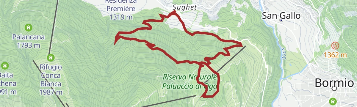
A circuit from Ciuk above Valdisotto by Bormio 2000 and La Rocca to Malga Vallecetta, then back through the woods to the start.
- 13.0 km
- Distance
- 704 m
- Ascent
- 5 h 2 min
- Duration
- 64
- Check-ins
- Gallo Cedrone 1 956 m
- Chalet la Rocca 2 160 m
- Chalet Rododendri 2 166 m
- Hotel Baita de Mario 1 641 m
- Hotel Girasole Bormio 2000 1 930 m
- Baita Lecciona 2 043 m
- +4
Open route Valtellina OutdoorFort of Oga and S. Colombano
A circuit from the Venini fort at Oga up to the ridge church of San Colombano, long a pilgrimage for women hoping for a son, then down to Cepina.
- 21.9 km
- Distance
- 628 m
- Ascent
- 7 h 14 min
- Duration
- 40
- Check-ins
- Rifugio Conca Bianca 1 987 m
- Agriturismo Malga San Colombano 2 235 m
- Hotel al Forte 1 709 m
- Presa d'aria 1 736 m
- Ristoro San Colombano 2 260 m
- Baita Streita 1 768 m
- +5
Open route Valtellina OutdoorStelvio Natural Trail: La Mandria
A narrow single track dropping through forest from the viewpoint of La Mandria at 1,750 m, the top reached by forest road out of Oga.
- 2.9 km
- Distance
- 0 m
- Ascent
- 28 min
- Duration
Open route Valtellina OutdoorPian della Mota - Fort of Oga - Rasin
A mostly downhill forest route from below the Conca Bianca hut to the Oga fort, then past the Motin hut on a firebreak track to Rasin.
- 9.7 km
- Distance
- 150 m
- Ascent
- 1 h 14 min
- Duration
- 27
- Check-ins
- Rifugio Conca Bianca 1 987 m
- Hotel al Forte 1 709 m
- Presa d'aria 1 736 m
- Casermetta corpo di guardia 1 717 m
- Baita Motin 1 618 m
- Fochin 1 568 m
- +2
Open route Valtellina OutdoorBormio 360 Mountain Bike - Stage 4 - Mountain Huts Path
A hut-to-hut stage above the Bormio basin, from Malga San Colombano across scree and down a rough track to Santa Maria Maddalena.
- 19.0 km
- Distance
- 947 m
- Ascent
- 2 h 48 min
- Duration
- 9
- Check-ins
- Agriturismo Malga San Colombano 2 235 m
- Baita Cerdek 2 041 m
- Baita Suena 1 513 m
- Baita Maggionaro 1 838 m
Open route Valtellina OutdoorStelvio Epic Rides: Forte di Oga
A road climb from the Santa Lucia junction below Bormio up to the Forte di Oga, a Great War fort on the terrace above Valdisotto.
- 7.3 km
- Distance
- 533 m
- Ascent
- 58 min
- Duration
- 5
- Check-ins
Open route Valtellina OutdoorAlpine Gravel: Verva Loop
A long gravel loop out of Bormio crossing Passo di Verva at 2,300 m, with Baita Viola and Rifugio Eita on the high dirt roads.
- 70.8 km
- Distance
- 1 761 m
- Ascent
- 7 h 57 min
- Duration
- 63
- Check-ins
- Baita Viola 1 883 m
- Rifugio Eita 1 703 m
- Blu Note 1 358 m
- Agriturismo Val Verva 2 124 m
- Baita Verva Sotto 1 955 m
- Passo di Verva 2 300 m
- +6
Open route Valtellina OutdoorMalga and San Colombano Refreshment Point
From the lift top at Pian della Mota by path 284.1 through forest and past the Palancana lift, then route 208 out of the trees to the San Colombano hut.
- 3.4 km
- Distance
- 290 m
- Ascent
- 1 h 20 min
- Duration
- 19
- Check-ins
Open route Valtellina OutdoorBormio 2000 Sobrettina Sorasina
A route from Bormio 2000 up the ski-area service road to La Rocca, then onto the narrow trail 542 towards Sobrettina and Sorasina.
- 13.9 km
- Distance
- 394 m
- Ascent
- 4 h 58 min
- Duration
- 40
- Check-ins
- Chalet la Rocca 2 160 m
- Chalet Rododendri 2 166 m
- Zeta 1 209 m
- Baita Lecciona 2 043 m
- Baita Pozzo dell'Acqua 2 067 m
- Nevada Restaurant Cafe' 1 201 m
- +1
Open route Valtellina OutdoorMountains of Sobretta
A long high route from Bormio 2000 across the ski slopes to La Rocca and Sobrettina, then down to the old huts of Sobretta di Sotto.
- 19.5 km
- Distance
- 550 m
- Ascent
- 6 h 37 min
- Duration
- 37
- Check-ins
- Chalet la Rocca 2 160 m
- Chalet Rododendri 2 166 m
- Zeta 1 209 m
- Baita Lecciona 2 043 m
- Nevada Restaurant Cafe' 1 201 m
- Le Poce 1 594 m
- +2
Open route Valtellina OutdoorAnello MTB: Fochin - Motin - Forte
A loop on forest roads above Valdidentro, running between huts at around 1,600 m and the old fortifications and guardhouse at Le Motte.
- 10.6 km
- Distance
- 566 m
- Ascent
- 1 h 32 min
- Duration
- 13
- Check-ins
- Presa d'aria 1 736 m
- Casermetta corpo di guardia 1 717 m
- Baita Motin 1 618 m
- Fochin 1 568 m
- Alloggi Casermetta 1 709 m
Open route Valtellina OutdoorBormio 360 Mountain Bike- Stage 5 - Mineral Trail
A mountain-bike stage from Malga Alt down to Padiglione 7 near Sondalo, over ground where quartz, tourmaline and apatite are still quarried.
- 18.7 km
- Distance
- 515 m
- Ascent
- 2 h 38 min
- Duration
Open route Valtellina OutdoorOga from the Pentagon
A walk from Bormio on the cycle path into Valdisotto, then up over the Costa del Madrecc to Oga and the huts of Presurina above it.
- 11.6 km
- Distance
- 378 m
- Ascent
- 1 h 24 min
- Duration
- 3
- Check-ins
Open route Valtellina OutdoorAlpine Gravel: Val di Rezzalo
A gravel crossing of the Rezzalo valley from Bormio, climbing past stone huts and larch woods to Passo dell'Alpe at 2,461 m.
- 55.5 km
- Distance
- 1 733 m
- Ascent
- 6 h 33 min
- Duration
- 56
- Check-ins
- Rifugio Sci 2000 2 008 m
- La Tana 1 737 m
- Bait Da Mighel 1 278 m
- Rifugio La Baita 1 860 m
- Passo dell'Alpe 2 461 m
- Agriturismo Rini 1 180 m
- +2
Open route Valtellina OutdoorAlpe Boron
An easy walk on natural surface from the rest stop at San Colombano past its chapel and the San Carlo springs to Alpe Boron, with viewpoints at Prei.
- 5.5 km
- Distance
- 275 m
- Ascent
- 2 h 22 min
- Duration
- 17
- Check-ins
- Agriturismo Alpe Boron 2 051 m
- Agriturismo Malga San Colombano 2 235 m
- Ristoro San Colombano 2 260 m
Open route Valtellina OutdoorBormio 2000 - Santa Caterina Valfurva
A high-level link from Bormio 2000 to Santa Caterina Valfurva through forest, gentle in gradient and open to the peaks of the Valfurva.
- 11.5 km
- Distance
- 300 m
- Ascent
- 3 h 37 min
- Duration
- 35
- Check-ins
- Gallo Cedrone 1 956 m
- Proloco Valfurva 1 734 m
- Hotel Girasole Bormio 2000 1 930 m
- Baita Pozzo dell'Acqua 2 067 m
- Hotel Gallo Cedrone 1 950 m
Open route Valtellina OutdoorBormio 2000 Calvarana
A long descent from Bormio 2000 into the woods past the Pozzo dell'Acqua hut, then down tight switchbacks below Monte Sobrettina towards Calvarana.
- 17.2 km
- Distance
- 367 m
- Ascent
- 5 h 38 min
- Duration
- 32
- Check-ins
- Gallo Cedrone 1 956 m
- Hotel Girasole Bormio 2000 1 930 m
- Zeta 1 209 m
- Baita Pozzo dell'Acqua 2 067 m
- Nevada Restaurant Cafe' 1 201 m
- Le Poce 1 594 m
- +3
Open route Valtellina OutdoorStelvio Epic Rides: Monte climb
A quiet road climb from the cemetery at Scleva above Cepina, up through the woods to the pastures of Monte and a wide view of the Bormio basin.
- 6.1 km
- Distance
- 501 m
- Ascent
- 52 min
- Duration
Open route Valtellina OutdoorStelvio E-Bike Tour: Fochin - San Colombano - Cima Piazzi
An e-bike circuit from Bormio into the Valdidentro, taking the white road up through the woods to the San Colombano pastures at 2,260 m.
- 37.8 km
- Distance
- 1 647 m
- Ascent
- 4 h 55 min
- Duration
- 47
- Check-ins
- Rifugio Conca Bianca 1 987 m
- Agriturismo Malga San Colombano 2 235 m
- Hotel al Forte 1 709 m
- Presa d'aria 1 736 m
- Ristoro San Colombano 2 260 m
- Baita Streita 1 768 m
- +8
Open route Valtellina OutdoorVallecetta cuppelle trail
An easy trail linking the cup-marked boulders above Valdisotto, laid out from the Palueta bend so the carvings can be seen without crossing private land.
- 5.6 km
- Distance
- 241 m
- Ascent
- 2 h 5 min
- Duration
- 17
- Check-ins
Open route Valtellina OutdoorVallecetta Loop
A loop from the top of the Bormio 3000 lift down past the ten or so small tarns of the Bei Laghetti to the Bocca di Profa and back.
- 13.8 km
- Distance
- 152 m
- Ascent
- 4 h 35 min
- Duration
- 35
- Check-ins
- Gallo Cedrone 1 956 m
- Hotel Girasole Bormio 2000 1 930 m
- I Bei Laghetti 2 736 m
- I Bei Laghetti 2 718 m
- Baita Pozzo dell'Acqua 2 067 m
- Bocca di Profa 2 662 m
- +1
Open route Valtellina OutdoorMarian Path of the Alps Eastern Route - Stage Bormio Cepina
A pilgrimage stage from Bormio to Cepina, starting at the collegiate church of Saints Gervasio and Protasio and calling at Marian chapels along the way.
- 24.3 km
- Distance
- 843 m
- Ascent
- 7 h 51 min
- Duration
- 19
- Check-ins
- Bait Da Mighel 1 278 m
- Mangiatoia dei cervi 1 537 m
- Casina Bassa 1 522 m
- Pro Loco 1 140 m
- Baita Brigida 1 458 m
Open route Valtellina OutdoorEnergy Cycleway - Red Route
A long Valtellina route past the A2A hydroelectric sites, climbing to the Passo Torri di Fraele and the lake at 1,928 m.
- 63.3 km
- Distance
- 1 661 m
- Ascent
- 6 h 37 min
- Duration
- 44
- Check-ins
- Monte delle Scale 1 953 m
- Passo Torri di Fraele 1 941 m
- Lago delle Scale 1 928 m
- Villa Valania 1 931 m
- Agriturismo Rini 1 180 m
- Pro Loco 1 140 m
- +2
Open route Valtellina OutdoorStelvio Family Trek: Paluaccio and Forte di Oga
A short family walk from the Forte di Oga car park to the peat bog of the Paluaccio reserve, returning by the Venini fort.
- 2.3 km
- Distance
- 30 m
- Ascent
- 36 min
- Duration
- 14
- Check-ins
- Hotel al Forte 1 709 m
- Presa d'aria 1 736 m
- Casermetta corpo di guardia 1 717 m
- Alloggi Casermetta 1 709 m
Open route Valtellina OutdoorBormio 2000 from Piatta
A climb from the hamlet of Piatta on alternating asphalt and track, past the church of San Pietro with its rich interior, up towards Bormio 2000.
- 4.7 km
- Distance
- 632 m
- Ascent
- 2 h 33 min
- Duration
- 31
- Check-ins
- Gallo Cedrone 1 956 m
- Hotel Baita de Mario 1 641 m
- Hotel Girasole Bormio 2000 1 930 m
- Hotel Vallechiara 1 640 m
- Hotel Gallo Cedrone 1 950 m
Open route Valtellina OutdoorSt. Columba Horn
A hard ascent from the fort at Oga by hamlets and clearings to Malga San Colombano at 2,236 m and on up to the Corno di San Colombano.
- 8.1 km
- Distance
- 1 292 m
- Ascent
- 4 h 58 min
- Duration
- 19
- Check-ins
- Corno di San Colombano 3 021 m
- Agriturismo Malga San Colombano 2 235 m
- Hotel al Forte 1 709 m
- Ristoro San Colombano 2 260 m
- Baita Streita 1 768 m
Open route Valtellina OutdoorStelvio E-Bike Tour – Al Forte Venini tra borghi, storia e panorami
An e-bike climb from Bormio up to the Forte Venini at Oga, through the hamlets on the terrace above the valley.
- 24.1 km
- Distance
- 614 m
- Ascent
- 2 h 43 min
- Duration
- 18
- Check-ins
- Hotel al Forte 1 709 m
- Presa d'aria 1 736 m
- Casermetta corpo di guardia 1 717 m
- Agriturismo Rini 1 180 m
- Info point 1 199 m
- Alloggi Casermetta 1 709 m
- +1
Open route Valtellina OutdoorStelvio Historical Trek: Forte di Oga e Riserva del Paluaccio
An easy walk at the Forte di Oga, a First World War fortification reopened as a museum, paired with the peat bog of the Paluaccio reserve nearby.
- 1.8 km
- Distance
- 20 m
- Ascent
- 28 min
- Duration
- 14
- Check-ins
- Hotel al Forte 1 709 m
- Presa d'aria 1 736 m
- Casermetta corpo di guardia 1 717 m
- Alloggi Casermetta 1 709 m
Open route Valtellina OutdoorConca Bianca Loop - San Colombano
A loop on the San Colombano slopes above Valdidentro, climbing through larch woods to the Conca Bianca basin and the ski area's summer tracks.
- 13.4 km
- Distance
- 643 m
- Ascent
- 4 h 45 min
- Duration
- 27
- Check-ins
- Rifugio Conca Bianca 1 987 m
- Agriturismo Malga San Colombano 2 235 m
- Hotel al Forte 1 709 m
- Ristoro San Colombano 2 260 m
- Baita Streita 1 768 m
Open route Valtellina OutdoorCima Piazzi - Campaccio
A steep line from Monte past the Campello huts into the Campaccio valley and its lake, then by gully and slabs towards Cima de' Piazzi.
- 6.3 km
- Distance
- 1 810 m
- Ascent
- 6 h 23 min
- Duration
- 5
- Check-ins
Open route Valtellina OutdoorAt the Fort of Oga
A long circuit from Bormio through Osteglio to Oga and its First World War fort, returning past the Paluaccio bog on forest tracks and ski runs.
- 22.4 km
- Distance
- 904 m
- Ascent
- 2 h 50 min
- Duration
- 11
- Check-ins
- Hotel al Forte 1 709 m
- Le Motte 1 424 m
- Agriturismo Rini 1 180 m
- Fochin 1 568 m
- Ristorante Pizzeria Bar 1 423 m
Open route Valtellina OutdoorOga Fort
A short climb to the fort above Oga, the Venini battery raised to guard the upper Valtellina and now open to visitors.
- 4.0 km
- Distance
- 316 m
- Ascent
- 2 h 1 min
- Duration
- 11
- Check-ins
Open route Valtellina OutdoorBormio 2000 - Santa Caterina Valfurva with joëlette
A forest track from Bormio 2000 across to Santa Caterina Valfurva, manageable with a joëlette apart from a steep drop at the end, with benches for a break.
- 14.3 km
- Distance
- 380 m
- Ascent
- 4 h 25 min
- Duration
- 23
- Check-ins
- Gallo Cedrone 1 956 m
- Hotel Girasole Bormio 2000 1 930 m
- Baita Pozzo dell'Acqua 2 067 m
- Hotel Gallo Cedrone 1 950 m
Open route Valtellina OutdoorMarian Path of the Eastern Alps - Stage Cepina Grosotto
A long valley stage from Cepina to Grosotto through the Serravalle narrows, over ground reshaped by the 1987 landslide that buried Sant'Antonio Morignone.
- 29.3 km
- Distance
- 461 m
- Ascent
- 8 h 29 min
- Duration
- 5
- Check-ins
Open route Valtellina OutdoorStelvio Epic Rides: Mortirolo from Bormio
The Mortirolo pass taken from Grosio, its more scenic side, twelve kilometres averaging above ten percent.
- 36.0 km
- Distance
- 1 173 m
- Ascent
- 4 h 4 min
- Duration
- 11
- Check-ins
Open route Valtellina OutdoorStelvio Natural Skimo Trail - Conca Bianca - Cuna Alta
A short marked skimo ascent on the Conca Bianca slopes above Valdidentro, climbing to Cuna Alta on the San Colombano side.
- 1.9 km
- Distance
- 200 m
- Ascent
- 50 min
- Duration
- 9
- Check-ins
Open route Valtellina OutdoorStelvio Family Trek: Loop Bormio - Ciuk - Piatta
A loop out of Bormio climbing steeply through the woods by Feleit and Campolungo to Ciuk, returning by Piatta on the Valdisotto side.
- 6.5 km
- Distance
- 432 m
- Ascent
- 2 h 56 min
- Duration
- 19
- Check-ins
Open route Valtellina OutdoorDosso Filetto
A steep ascent from Monte by the Campello huts and the Campaccio lake, finishing up a gully to the ridge; the descent follows the same line.
- 4.6 km
- Distance
- 1 115 m
- Ascent
- 4 h
- Duration
Open route Valtellina OutdoorStelvio E-Bike Tour – Tra borghi, antiche chiese e ferriere della Valdidentro
An e-bike route from Bormio along the Adda into the Valdidentro, by the hamlet of Sassello and the old forges.
- 22.9 km
- Distance
- 353 m
- Ascent
- 2 h 22 min
- Duration
- 9
- Check-ins
Open route Valtellina OutdoorLe Motte Pond
A family climb from Santa Lucia in Valdisotto, largely on old mule track and cart road, through Scots pine and fir to the pond at Le Motte.
- 2.9 km
- Distance
- 255 m
- Ascent
- 1 h 8 min
- Duration
- 3
- Check-ins
Open route Valtellina Outdoor
No routes of this kind in Valdisotto yet.
The region's own picks
Featured route
Stelvio Family Trek: Path of Purity - Bormio 2,000
A family loop from Bormio 2000 on a shaded water trail through the woods, with boards on the part water plays in the alpine cycle.
Planning a trip to Valdisotto?
Everything else Lombardy has, in one place


Take Valdisotto with you into the mountains
Every route on this page with 3D terrain, GPX navigation and offline maps — including the valleys with no signal.
Data sources
- Official website: bormio.eu ↗
- Routes and highlights: Valtellina Outdoor, YesAlps
- Published as open data by the tourist boards named above.
- Region summary generated from the board's own material.
