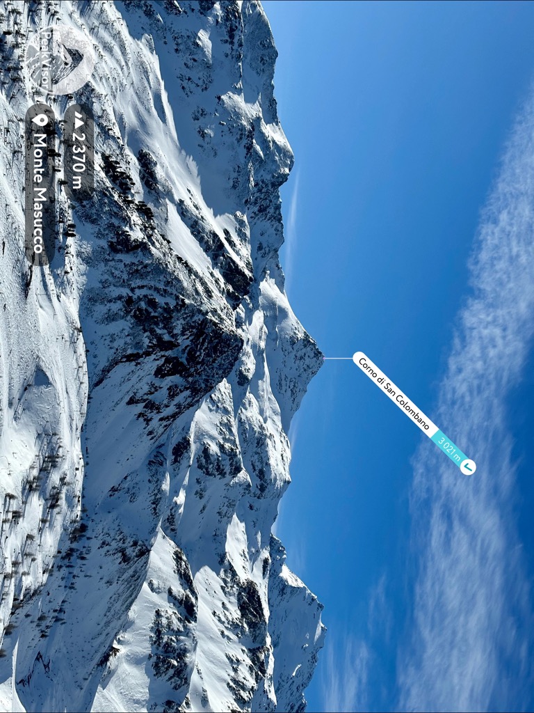
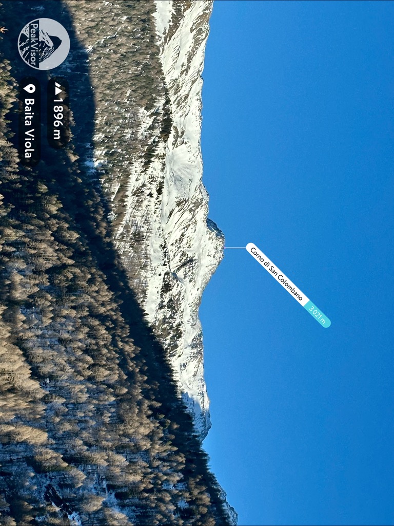
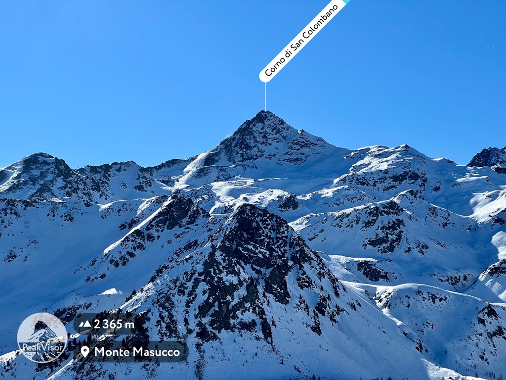
The Corno di San Colombano is a mountain in the Livigno Alps of Italy that stands at 3,021m.
While the Corno di San Colombano may not be a popular hiking destination, it offers a challenging trail that connects with neighboring mountains, including Monte Masucco and Piz Borron. However, the trail has some risky passages that require climbing skills and are very steep, so it's not suitable for amateur hikers. In winter the use of crampons is advised. Descending the gully can also be hazardous due to friable and landslide soil conditions.
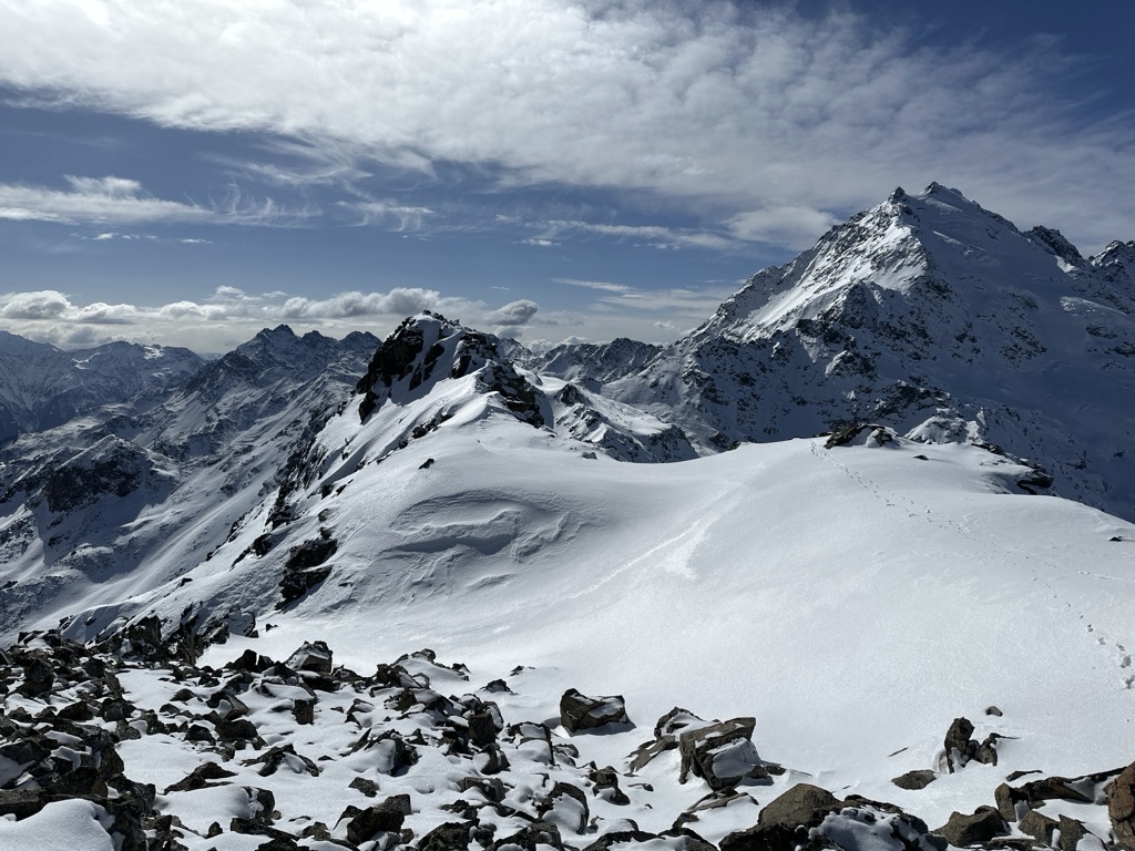
The are is home to various wildlife species, such as marmots, ibex, chamois, and eagles, adding to the awe-inspiring beauty of the place. Another reward for those who summit the mountain is one of the best views of Cima Piazzi and its glacier.
On the slopes of the mountain, you'll find the ski resort Cima Piazzi/San Colombano-Isolaccia/Oga, which boasts 20 km of slopes and 10 lifts. The ski season starts from the beginning of December and runs until the end of April, and the resort is open daily from 9:00 am to 4:30 pm.
Apart from skiing, the resort offers several other exciting activities for non-skiers, including snowshoeing, sledding, and hiking in summer.
Overall, the Corno di San Colombano is a fantastic destination for outdoor enthusiasts seeking adventure, peace, and natural beauty.
We use GPS information embedded into the photo when it is available.
3D mountains overlay
Adjust mountain panorama to perfectly match your photos because recorded by camera photo position might be imprecise.
Move tool
Rotate tool
Zoom
More customization
Choose which peak labels should make into the final photo and what photo title should be.
Next
Photo Location
Satellitte
Flat map
Relief map
Latitude
Longitude
Altitude
OR
Latitude
°'''
Longitude
°'''
Apply
Register Peak
Peak Name
Latitude
Longitude
Altitude
Register
Teleport
PeakVisor
This 3D model of Sagarmatha National Park in Nepal was made using the PeakVisor app topographic data. The mobile app features higher precision models worldwide, more topographic details, and works offline. Download PeakVisor maps today.
Download OBJ model
PeakVisor
The download should start shortly. If you find it useful please consider supporting the PeakVisor app.
PeakVisor for iOS and Android
Be a superhero of outdoor navigation with state-of-the-art 3D maps and mountain identification in the palm of your hand!