
 Historic site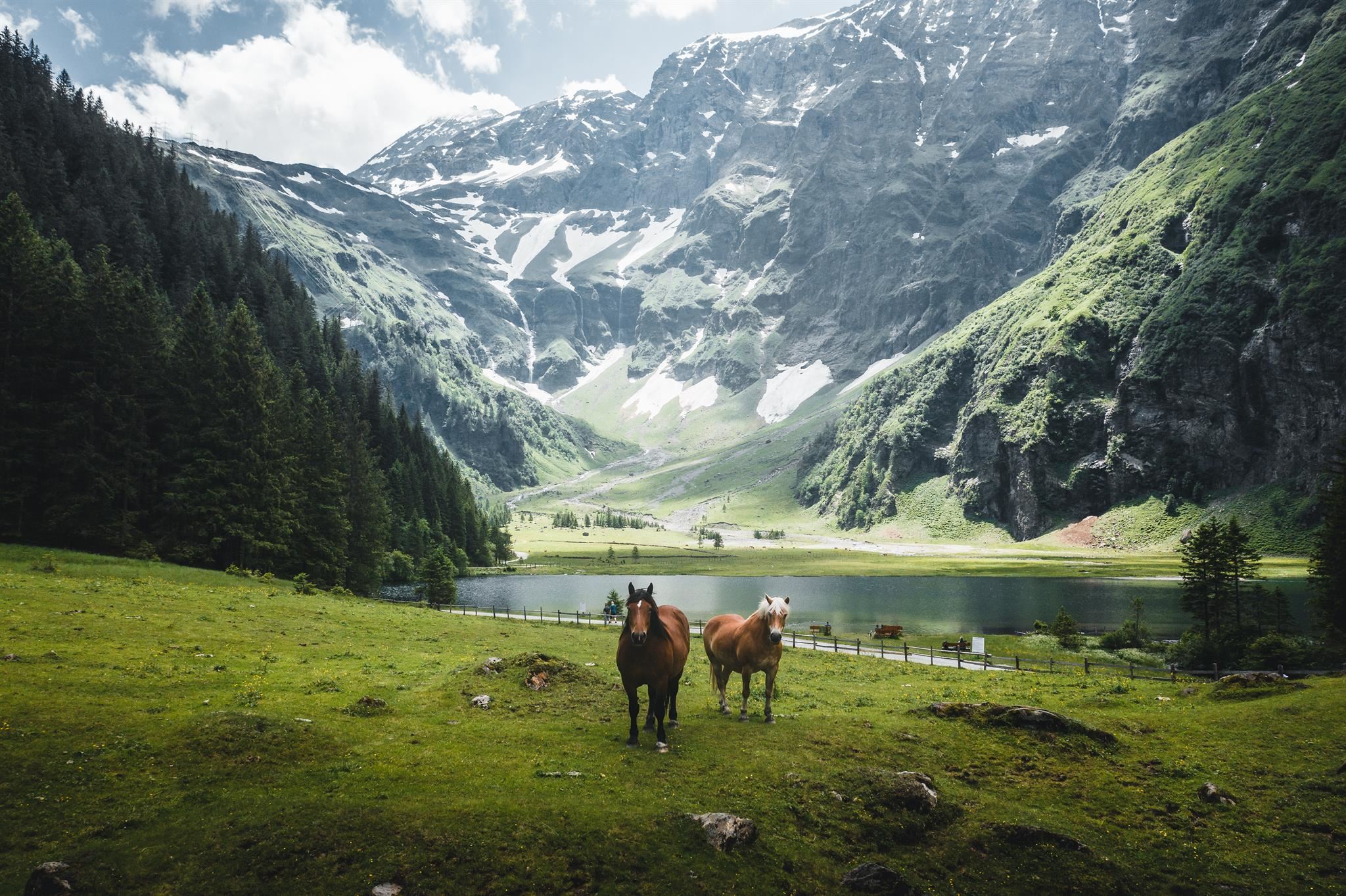







Curated by Nationalparkregion Mittersill
Uttendorf
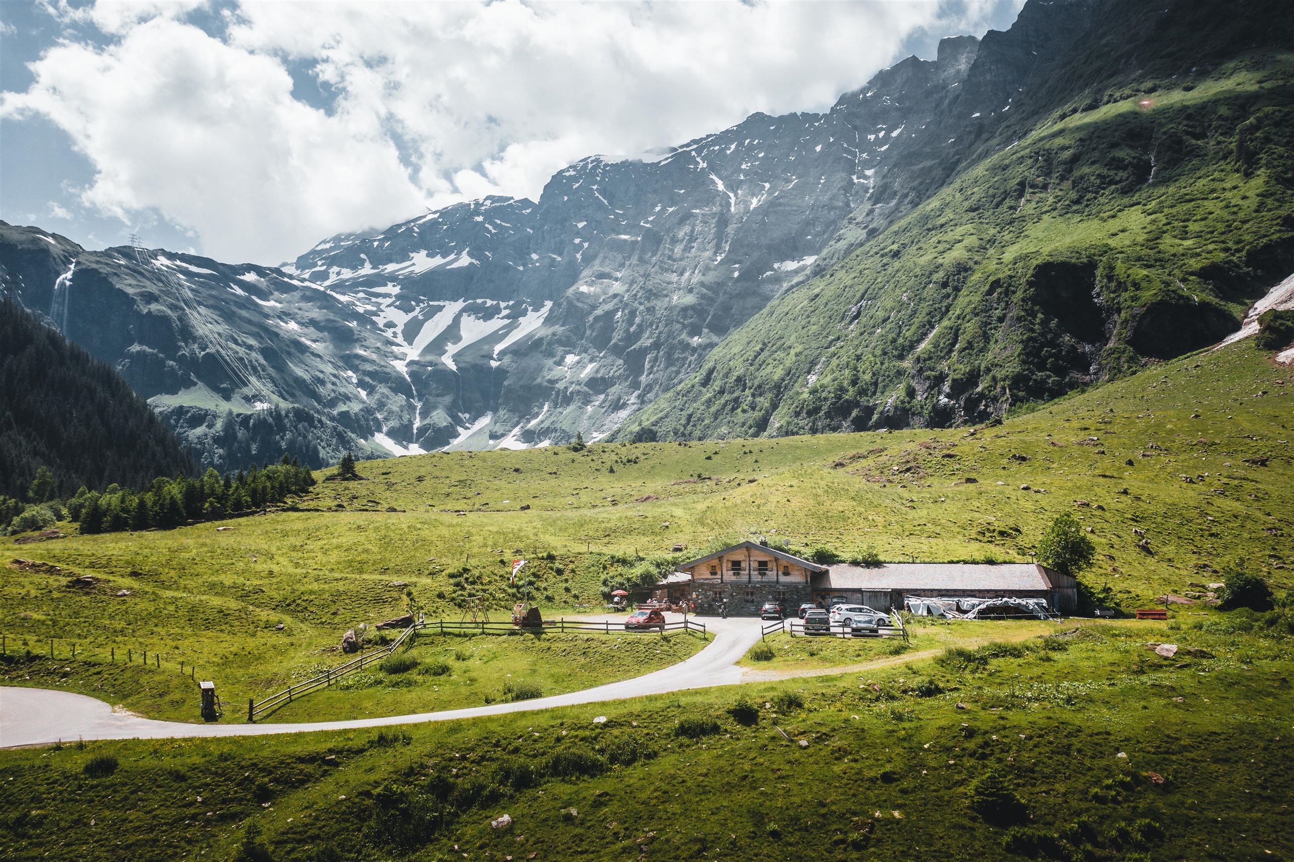
At the mouth of the Stubachtal in the Oberpinzgau, a valley climbing to glacier country around the Weißsee, where the Rudolfshütte hotel stands at 2,315 m.
- 4Highlights
- 10Routes
- Featured summit · Manlitzkogel
Highlights
11 from neighbouring places
Nationalpark Gallery
A Hohe Tauern National Park display in the Uttendorf area of the Pinzgau, listed among the park's visitor offers.
Erlebnisbadesee Uttendorf
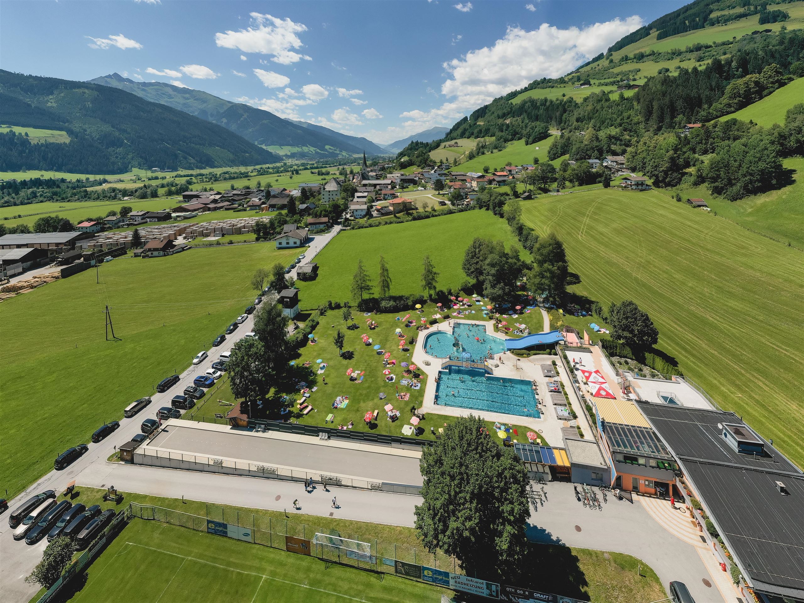
A swimming lake with play facilities at Uttendorf, on the Salzach floor of the Pinzgau.
Boulderhalle Uttendorf
An indoor bouldering wall at Uttendorf in the Pinzgau, used for climbing in poor weather.
Rodelbahn beim Alpengasthof Liebenberg
A toboggan run beside the Alpengasthof Liebenberg above Uttendorf in the Pinzgau.
ICE ARENA im Gletscherschnee
6.6 km away, in Kaprun
A snow area on the Kitzsteinhorn glacier with slides, a snow beach and play zones, kept open on glacier snow into the summer.
ICE CAMP presented by Audi
6.7 km away, in Kaprun
A winter installation of igloo domes on the Kitzsteinhorn glacier with an ice bar and snow lounges, rebuilt each season.
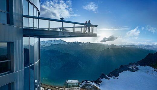
National Park Gallery Plattform
7.1 km away, in Kaprun
A viewing platform at the end of the Kitzsteinhorn's National Park Gallery tunnel, facing into the Hohe Tauern National Park.
Badesee Luziapark Niedernsill
7.9 km away, in Niedernsill
A swimming lake in the Luzia park at Niedernsill, on the Salzach floor of the Pinzgau.
Edelsteinpark Niedernsill
8 km away, in Niedernsill
A gemstone-themed park at Niedernsill in the Pinzgau, laid out for families.
Panorama Plattform Maiskogel
9.5 km away, in Kaprun
A viewing platform on the Maiskogel above Kaprun, overlooking the village, the valley floor and the Kitzsteinhorn.
Hintersee
9.5 km away, in Mittersill
A small mountain lake in the Felber valley south of Mittersill, lying in a nature reserve at the edge of the Hohe Tauern National Park.
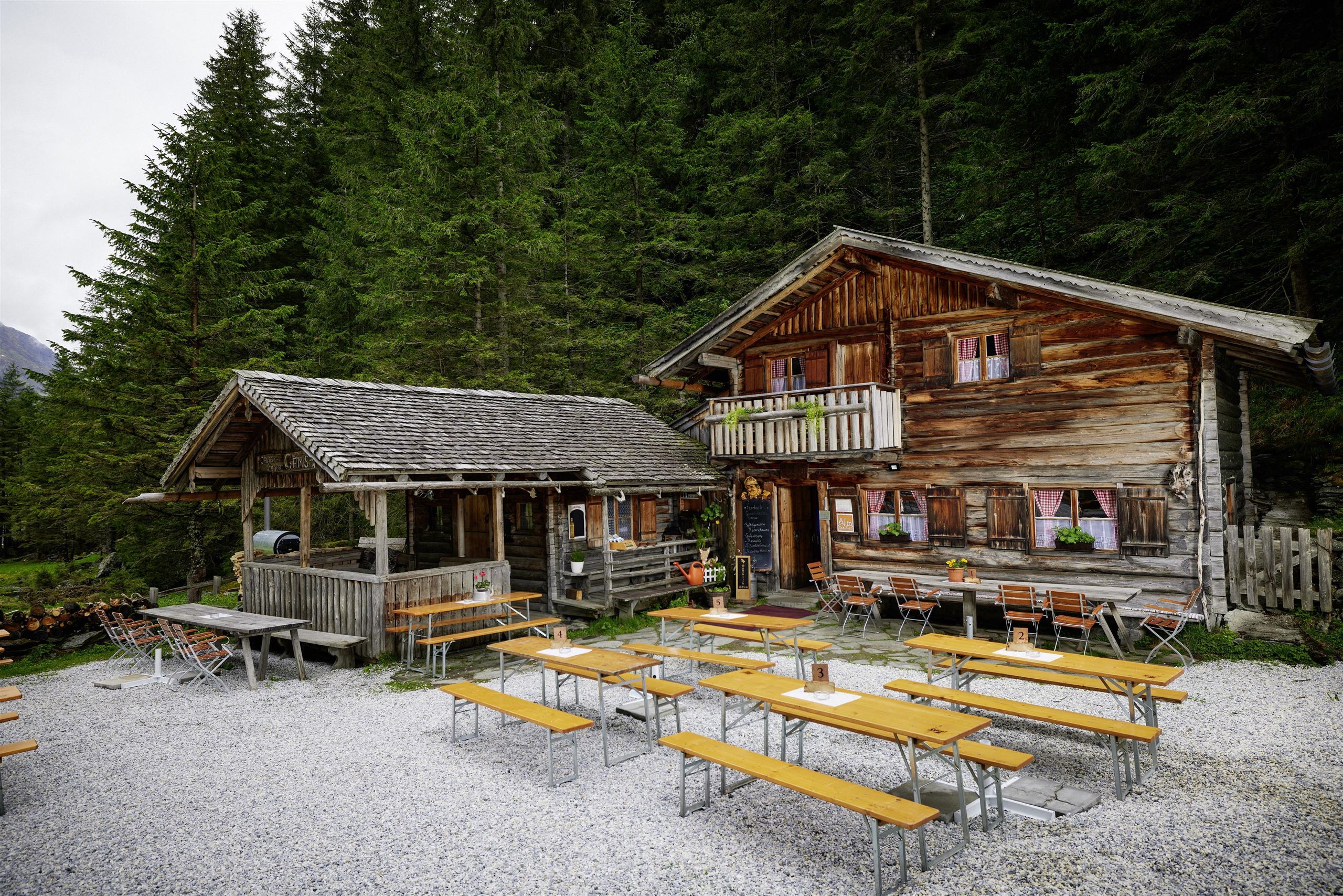
Gamsblickhütte - Jausenstation
9.6 km away, in Mittersill
A snack station in the Felber valley south of Mittersill, serving home-style Austrian dishes on the way toward the Hintersee.
Meilingeralm - 1.300 m
9.7 km away, in Mittersill
An alm at 1,300 m in the Felber valley south of Mittersill, serving regional dishes on the walking routes toward the Hintersee.
Freizeitzentrum Stuhlfelden
9.7 km away, in Stuhlfelden
The leisure centre of Stuhlfelden with an outdoor pool, ball-sport courts, a fun park and playgrounds, a summer meeting point for families.
Freibad Stuhlfelden
9.7 km away, in Stuhlfelden
The outdoor swimming pool of Stuhlfelden, on the valley floor of the Oberpinzgau near Mittersill.
Nothing of this kind in Uttendorf.
Routes
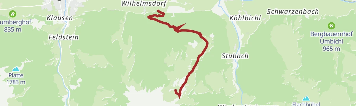
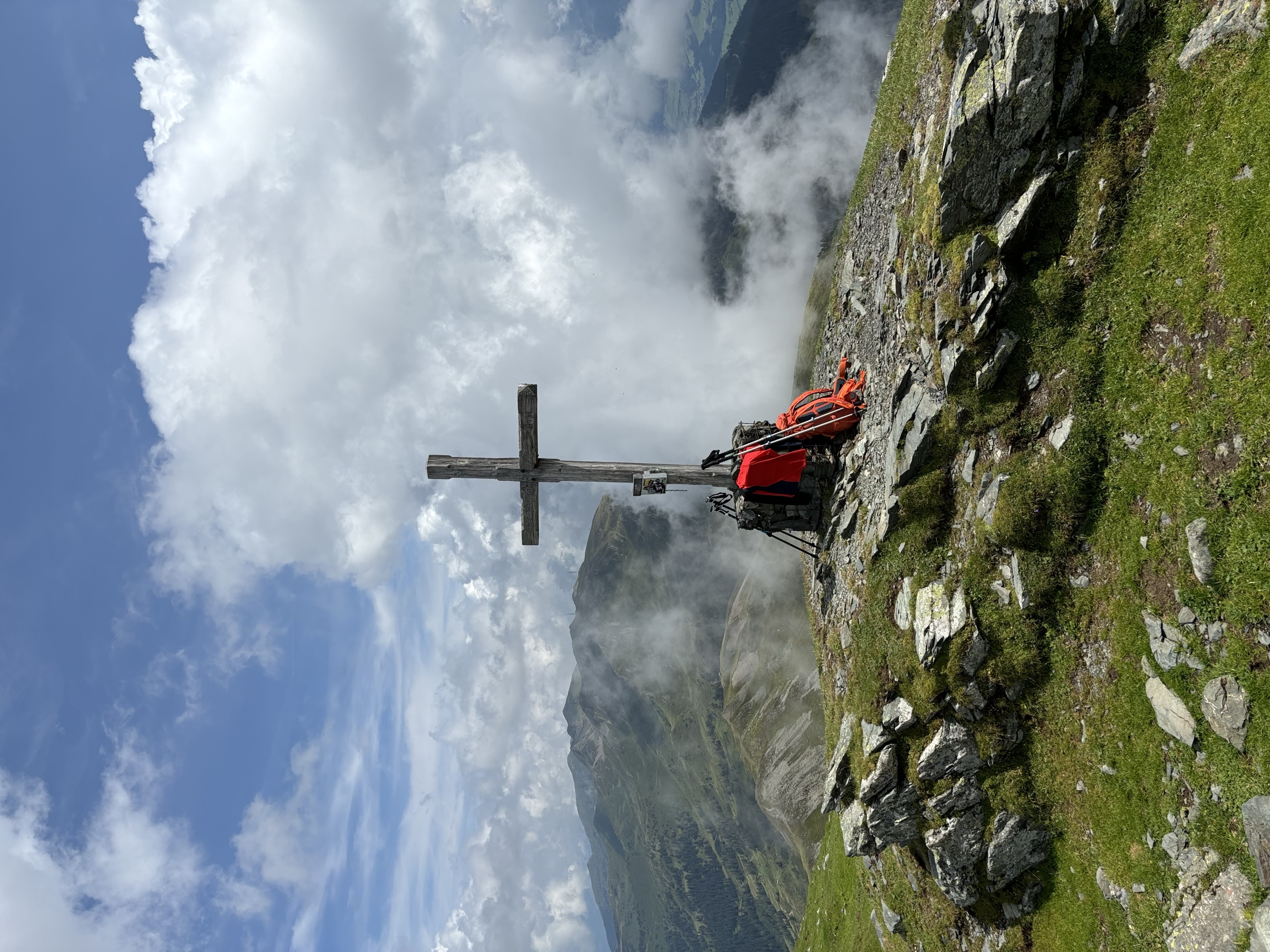
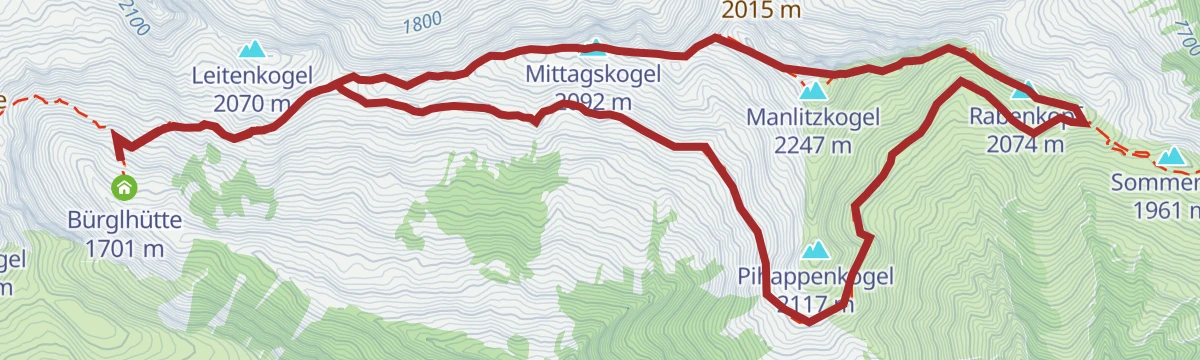
Stuhlfelden: Mittagskogel, Manlitzkogel & Rabenkopf Wegnr. 12
A 13 km round in the Kitzbüheler Alpen taking in four tops - Mittagskogel, Manlitzkogel, Zehentner Stange and Rabenkopf - over the Murnauer Scharte.
- 13.0 km
- Distance
- 636 m
- Ascent
- 4 h 41 min
- Duration
- 9
- Check-ins
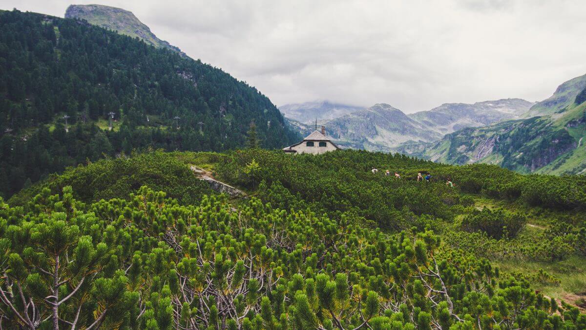
Wanderung zum Berghotel Rudolfshütte
Long crossing from the Kalser Dorfertal over the Kalser Törl to the Berghotel Rudolfshütte at the Weißsee, with the Kalser Tauernhaus as a mid-way stop.
- 17.6 km
- Distance
- 1 174 m
- Ascent
- 7 h 54 min
- Duration
- 62
- Check-ins
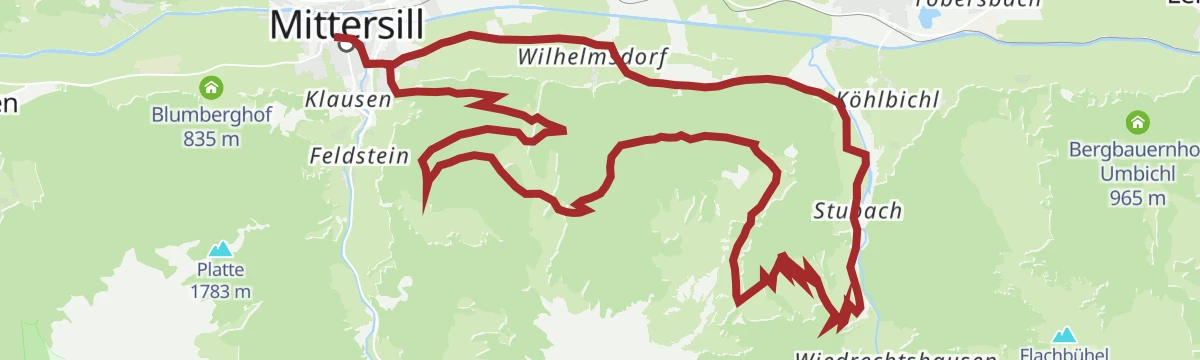
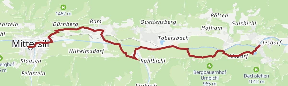
Mittersill: Stubachtal Biketour
A forest-road tour out of Mittersill into the Stubachtal, following the Salzach downstream before turning south into the side valley.
- 28.5 km
- Distance
- 839 m
- Ascent
- 3 h 19 min
- Duration
- 1
- Check-ins
11 Rund um das Kitzbüheler Horn
A long road circuit right around the Horn, from the Glemmtal over the Pass Thurn and back through Kitzbühel on the way home.
- 115.9 km
- Distance
- 1 673 m
- Ascent
- 11 h 51 min
- Duration
- 56
- Check-ins
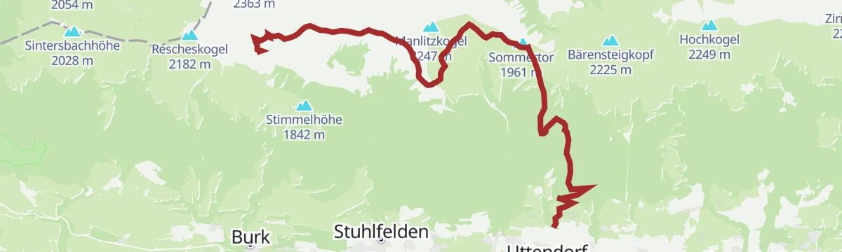
Stuhlfelden: Pinzgauer Spazierweg Wegnr. 719
A 14.5 km traverse across the Pinzgau grass mountains by way of the Sommertörl and Murnauer Scharte to the Bürglhütte, facing the Hohe Tauern.
- 14.5 km
- Distance
- 391 m
- Ascent
- 5 h 2 min
- Duration
- 5
- Check-ins
Mittersill: Zwölferkogel Wegnr. 530
A long, demanding ascent of the Zwölferkogel southeast of Mittersill, taking in the Birkkogel; 1,651 m of climbing over 15 km.
- 15.0 km
- Distance
- 1 644 m
- Ascent
- 9 h 55 min
- Duration
- 1
- Check-ins
Radtour von Zell am See - Krimml
A long valley ride up the Salzach from Zell am See through Mittersill and Wald to Krimml, at the head of the Oberpinzgau.
- 67.1 km
- Distance
- 741 m
- Ascent
- 6 h 39 min
- Duration
- 24
- Check-ins
 Bergschmied 817 m
 Tagesspeicher Krimmler Ache 1 048 m
- Tourismusinfo Mittersill-Hollersbach-Stuhlfelden 786 m
- Einödhof 768 m
- Rechenmacherhütte 826 m
- Tourismusverband Wald-Königsleiten 875 m
- +5
Stuhlfelden: Dürnsteinalm
A 13.8 km walk up to the Dürnsteinalm at roughly 1,400 m, gaining 690 m on the way.
- 13.8 km
- Distance
- 782 m
- Ascent
- 5 h 31 min
- Duration
Etappe 11: Alpina Antica Trail | ET11: Mittersill - Niedernsill
Stage 11 turns east away from the Felbertauern trade route and follows the Salzachtal from Mittersill through the valley villages to Niedernsill.
- 16.9 km
- Distance
- 174 m
- Ascent
- 4 h 24 min
- Duration
Hohe Tauern Bike Trail | ET07 Kaprun | Mühlbachtal | Uttendorf
A valley-and-hillside stage between Kaprun and Uttendorf, with the climb to the Schaunbergalm the high point above the Salzach floor.
- 35.6 km
- Distance
- 866 m
- Ascent
- 3 h 59 min
- Duration
- 5
- Check-ins
No routes of this kind in Uttendorf yet.
The region's own picks
Featured route
Stuhlfelden: Mittagskogel, Manlitzkogel & Rabenkopf Wegnr. 12
A 13 km round in the Kitzbüheler Alpen taking in four tops - Mittagskogel, Manlitzkogel, Zehentner Stange and Rabenkopf - over the Murnauer Scharte.
Planning a trip to Uttendorf?
Everything else Salzburg (state) has, in one place


Take Uttendorf with you into the mountains
Every route on this page with 3D terrain, GPX navigation and offline maps — including the valleys with no signal.
Data sources
- Official website: nationalpark.at ↗
- Routes and highlights: Nationalparkregion Mittersill, Nationalpark, Zell am See-Kaprun Tourismus, Osttirol Tourismus, Kitzbühel Tourismus
- Published as open data by the tourist boards named above.
- Region summary generated from the board's own material.
