
 Cable car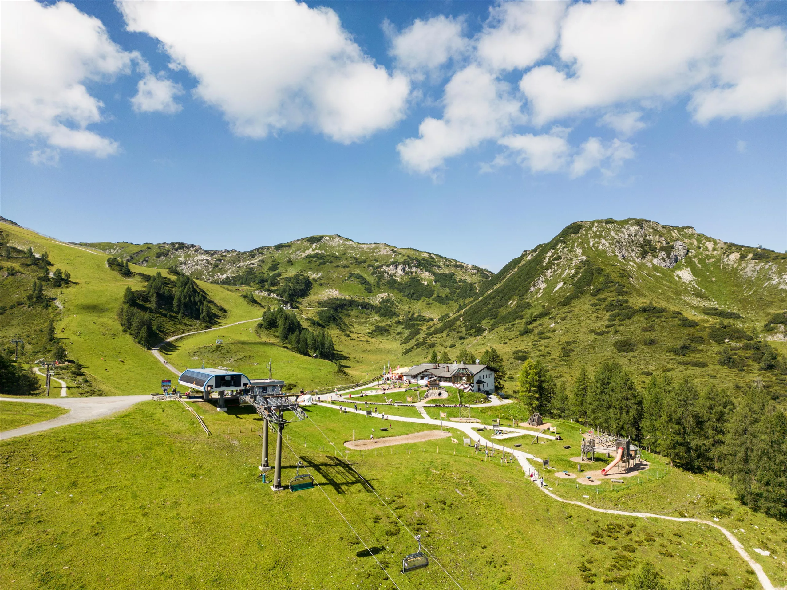











Curated by Altenmarkt-Zauchensee Tourismus
Untertauern
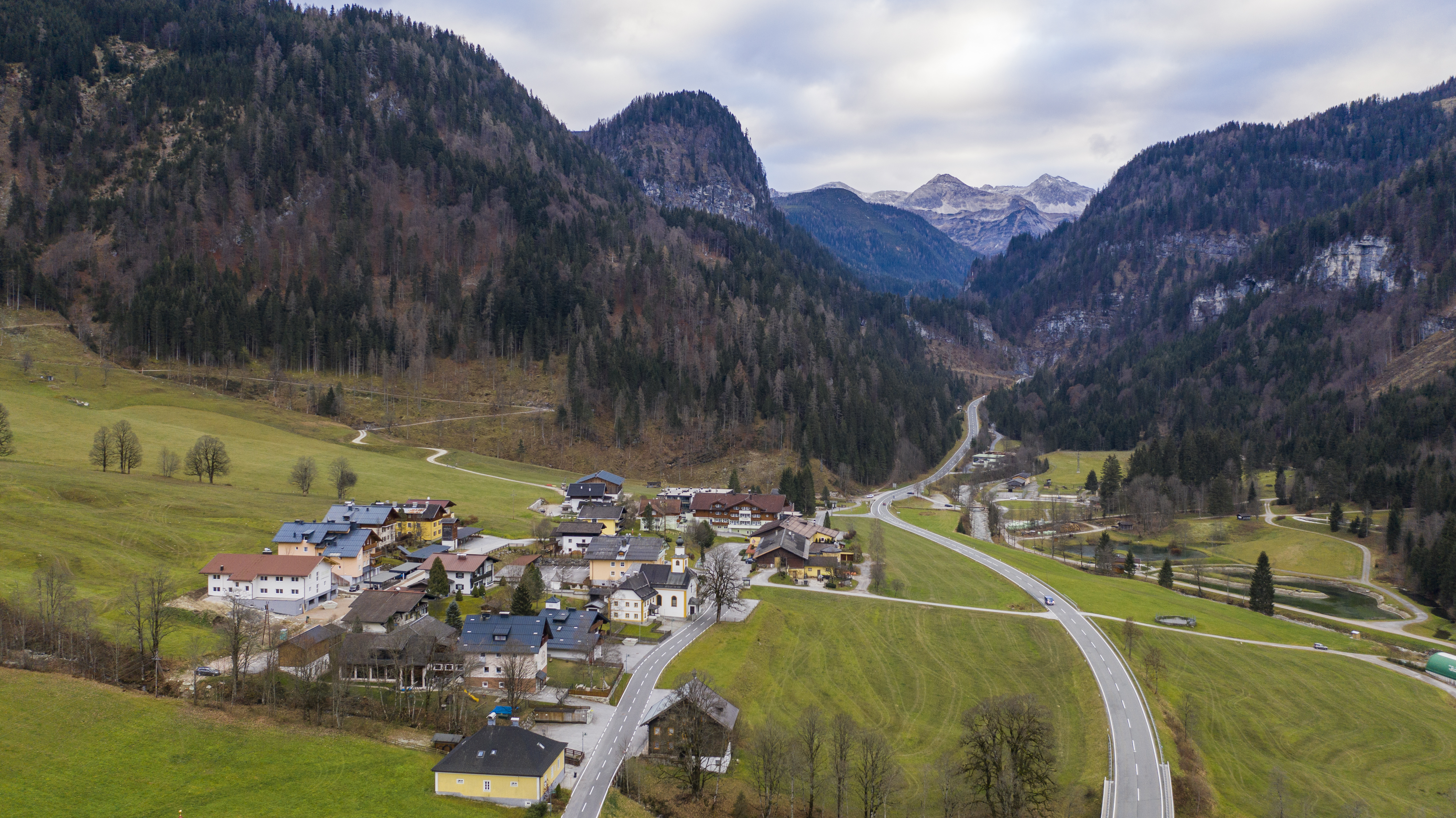
Strung along the Taurach on the northern climb to the Radstädter Tauern pass, a small village of waterfalls and pastures below the ski bowl of Obertauern.
- 5Highlights
- 27Routes
- Featured summit · Steinfeldspitze
Highlights
10 from neighbouring places
Gschwendthofhütte (Hintere Gnadenalmen)
A hut at the Hintere Gnadenalm near Untertauern, in the high valley below the Radstädter Tauern pass.
Rauchkopfhütte
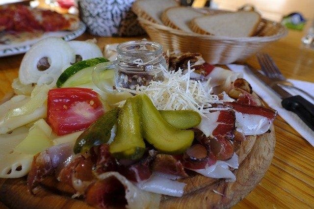
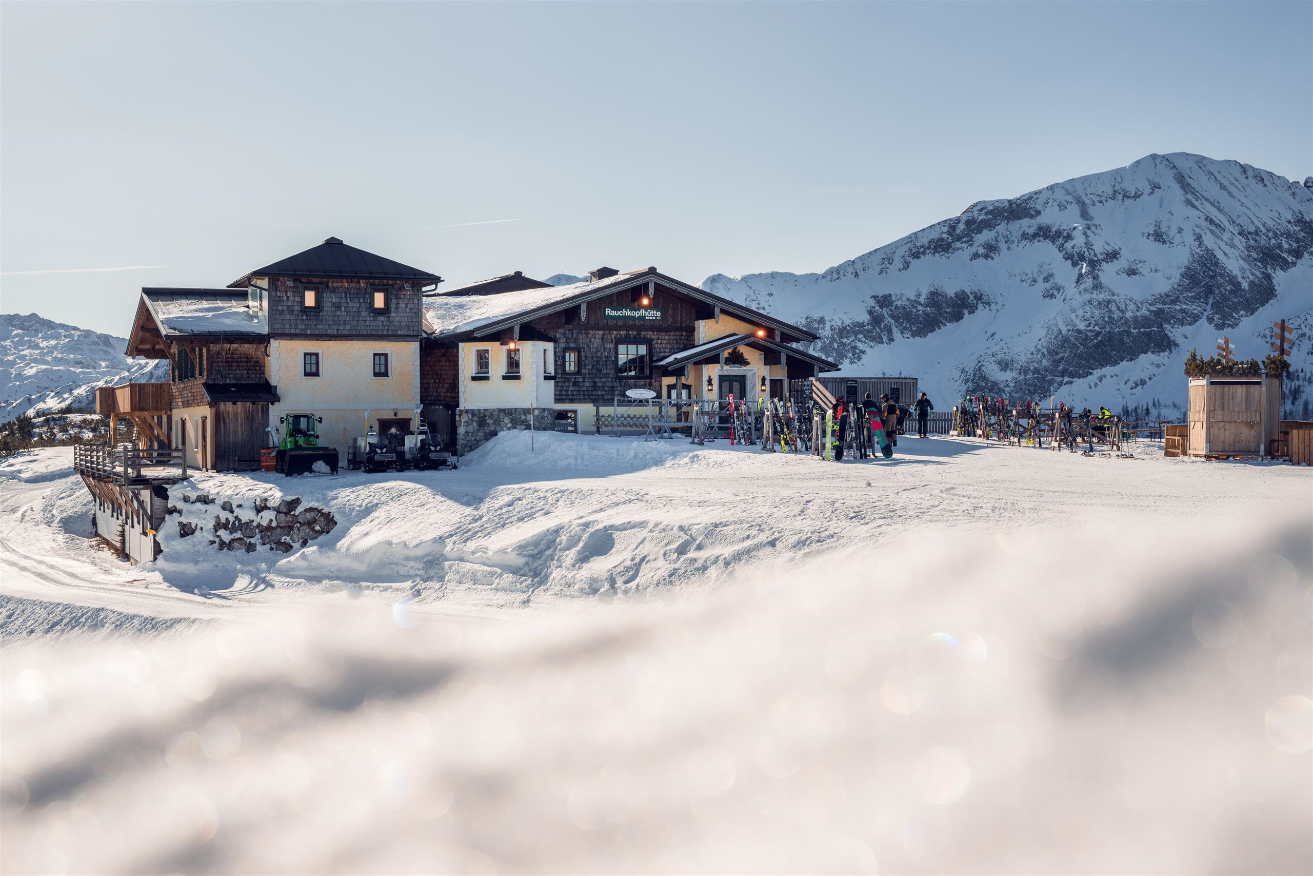
A ski hut below the Rauchkopf in the Zauchensee ski area, serving regional dishes beside the pistes.
Tauernkarleitenalm
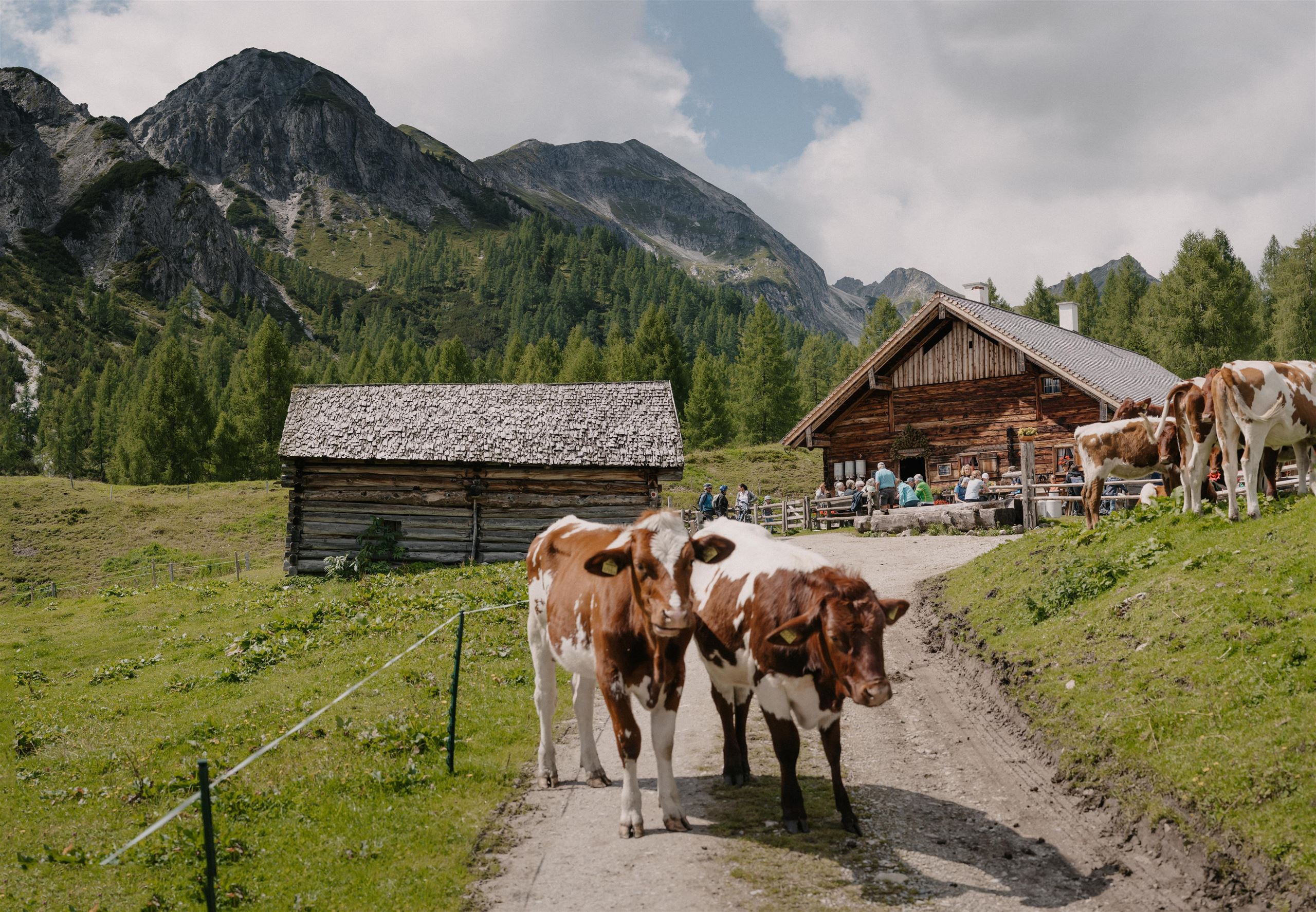
A pasture snack hut in the Tauernkar high valley south of Zauchensee, serving regional dishes to summer walkers.
Familienwanderspaß "Alles Alm"
A themed family walking trail in the mountains near Radstadt, where play stations along the route explain everyday life on the alpine pastures.
Wildparkstüberl
A snack parlour at the game park near Radstadt, serving regional and vegetarian dishes after a walk past the animal enclosures.
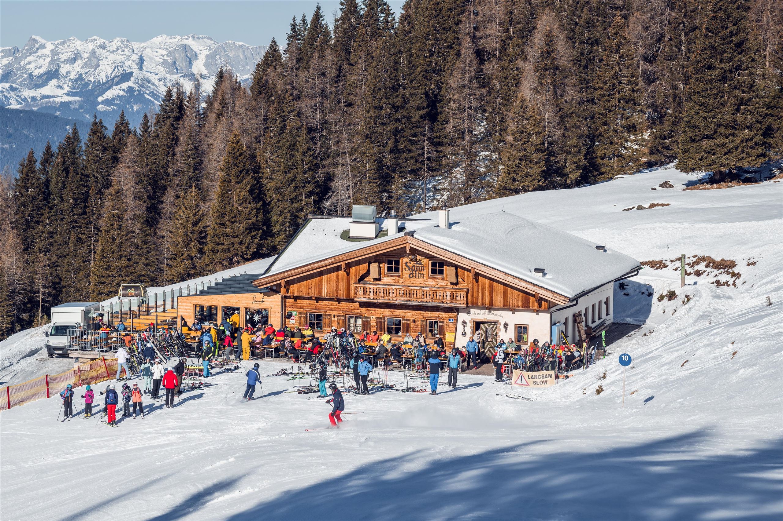
Sonnalm Zauchensee
2.8 km away, in Altenmarkt im Pongau
A mountain restaurant on the Zauchensee ski slopes, serving regional and vegetarian dishes in the ski area around the small Zauchensee lake.
Weltcuparena Zauchensee
3.6 km away, in Altenmarkt im Pongau
The ski slopes at Zauchensee that stage women's World Cup downhill and super-G races, with lifts, ski depot and rental at the valley station.
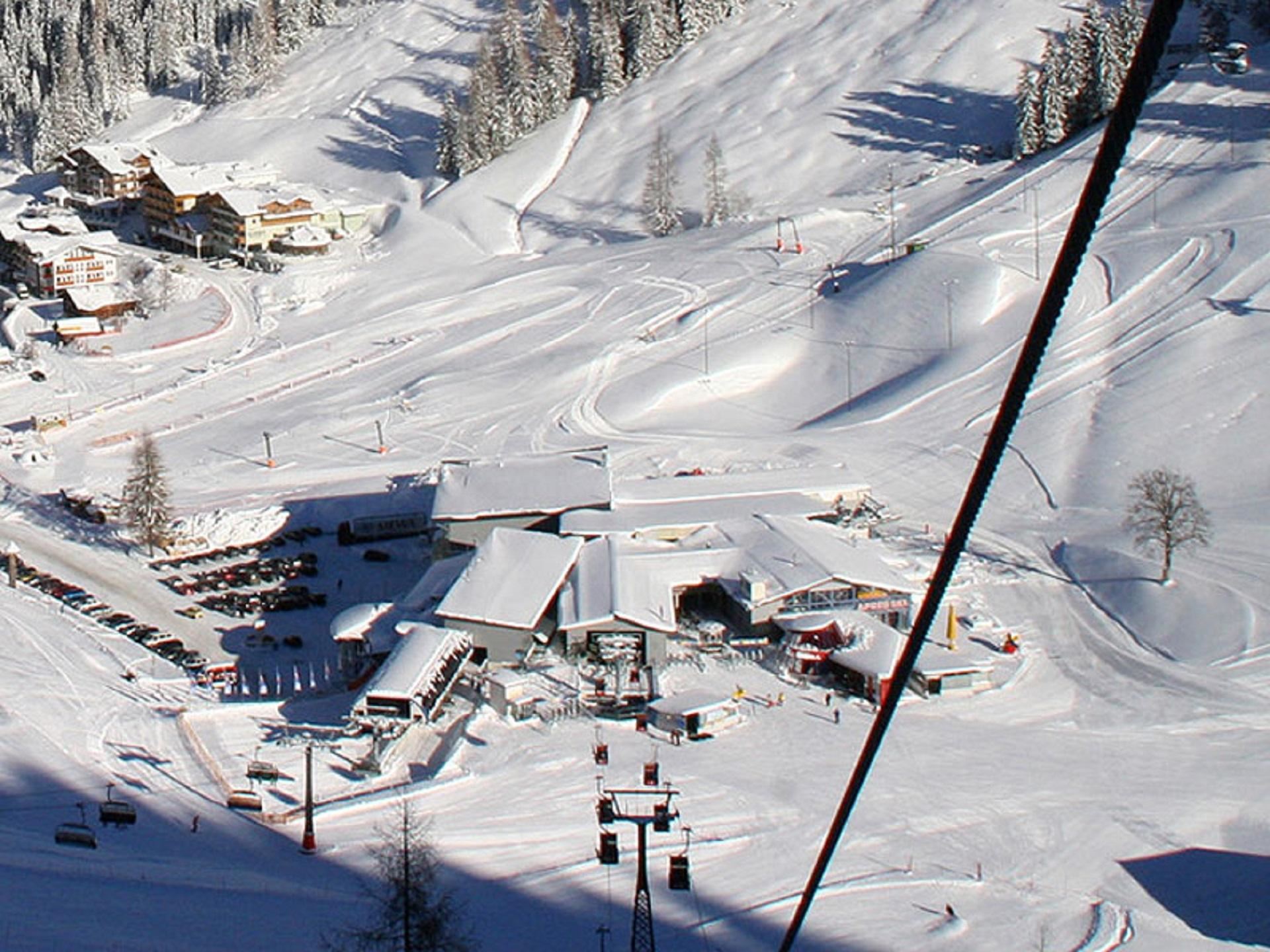
Gamskogelbahn (Berg- und Talfahrt)
3.7 km away, in Altenmarkt im Pongau
A cable car from Zauchensee up the Gamskogel, used by skiers in winter and sold as an ascent-and-descent ride for summer walkers.
Garnhofhütte
3.7 km away, in Altenmarkt im Pongau
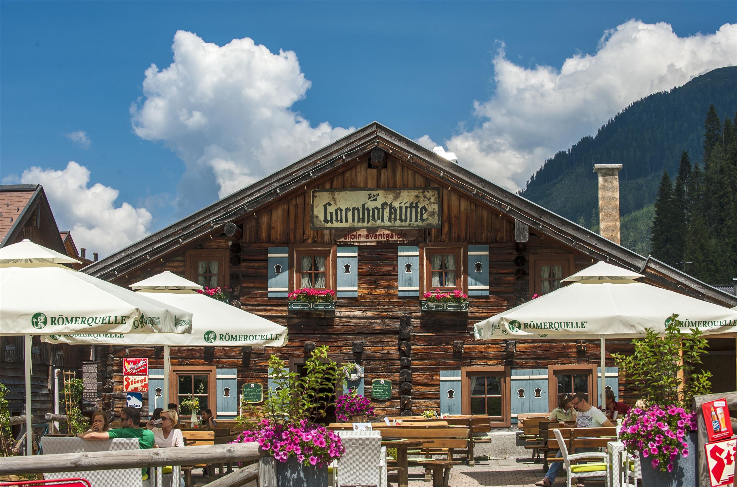
A hut restaurant and snack station in the Zauchensee ski area above Altenmarkt, serving regional dishes through the winter season.
Garnhofhütte, Hochzeitslocation
3.7 km away, in Altenmarkt im Pongau
The Garnhofhütte in the Zauchensee ski mountains, hired as a venue for Salzburg mountain weddings and private parties.
Felserhütte
3.8 km away, in Altenmarkt im Pongau
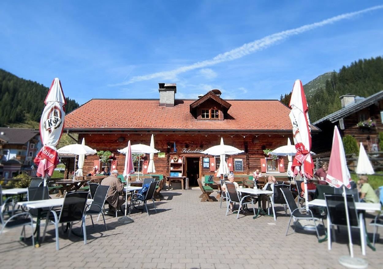
A hut restaurant in the Zauchensee ski mountains above Altenmarkt, serving regional and vegetarian food to skiers and walkers.
Unterbergalm
4.3 km away, in Altenmarkt im Pongau
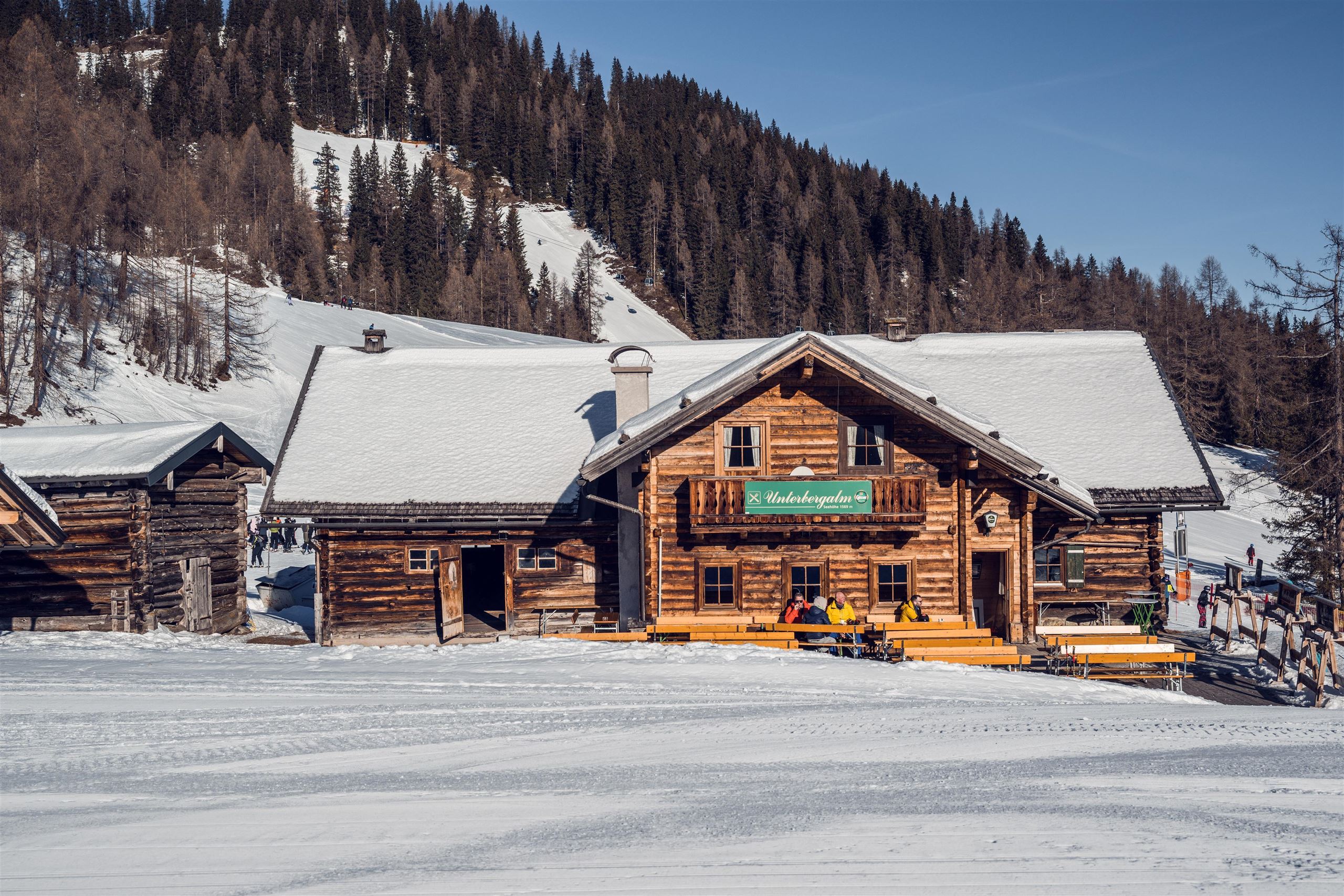
A ski hut with après-ski in the Zauchensee ski area above Altenmarkt, serving regional dishes beside the slopes.
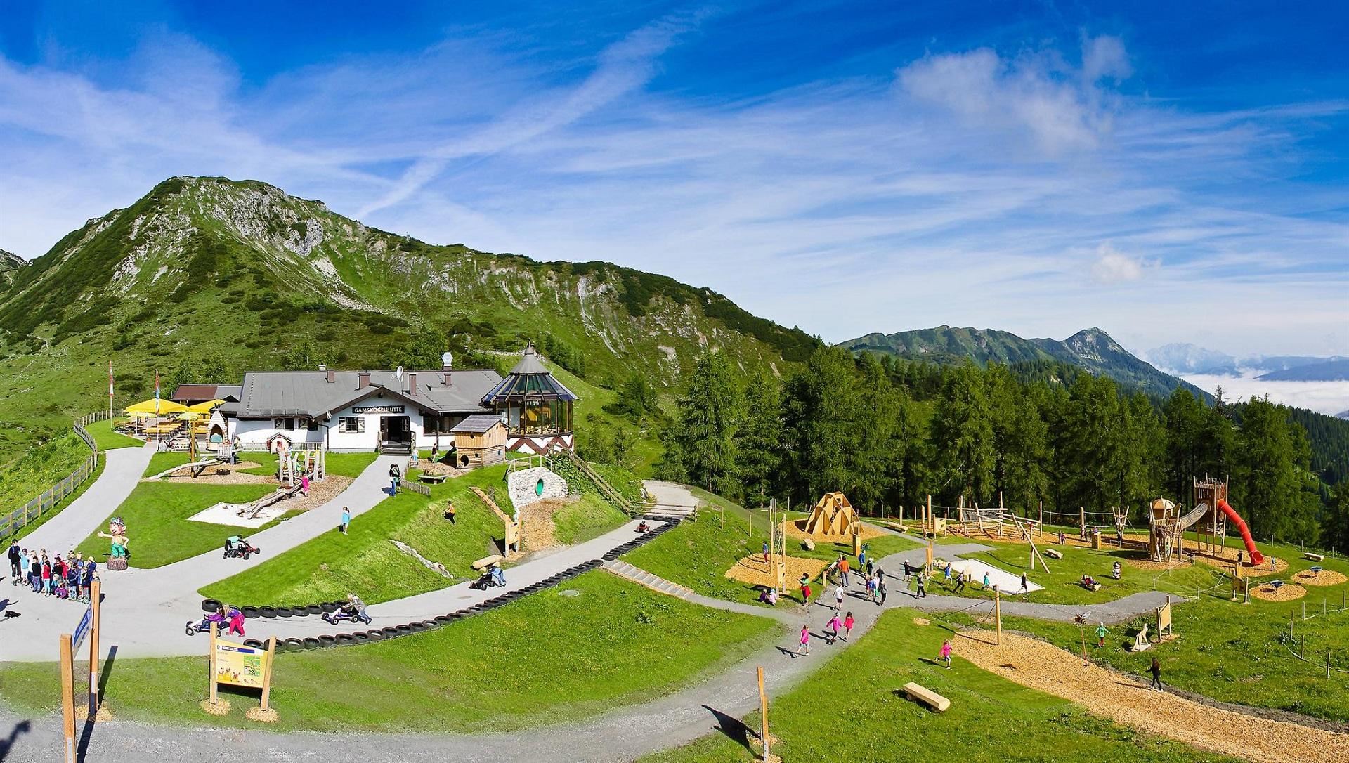
Gamskogelhütte
4.4 km away, in Altenmarkt im Pongau
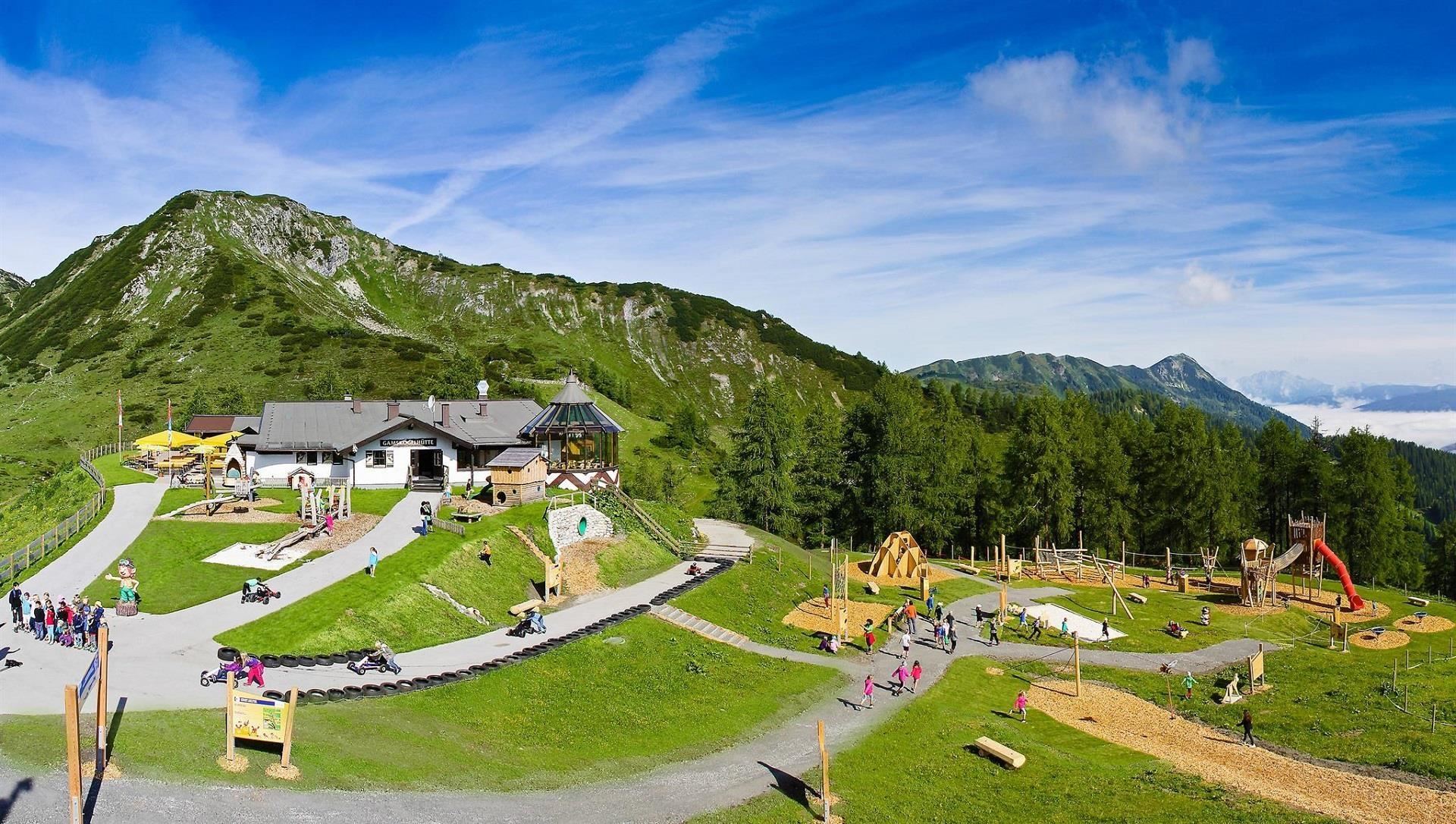
A ski hut on the Gamskogel at Zauchensee, serving regional dishes on the mountain above the World Cup slopes.
Familien- und Erlebnisberg Gamskogel
4.9 km away, in Altenmarkt im Pongau
A family mountain at Zauchensee served by the Gamskogel lifts, combining cable-car access with play stations and easy walking in summer.
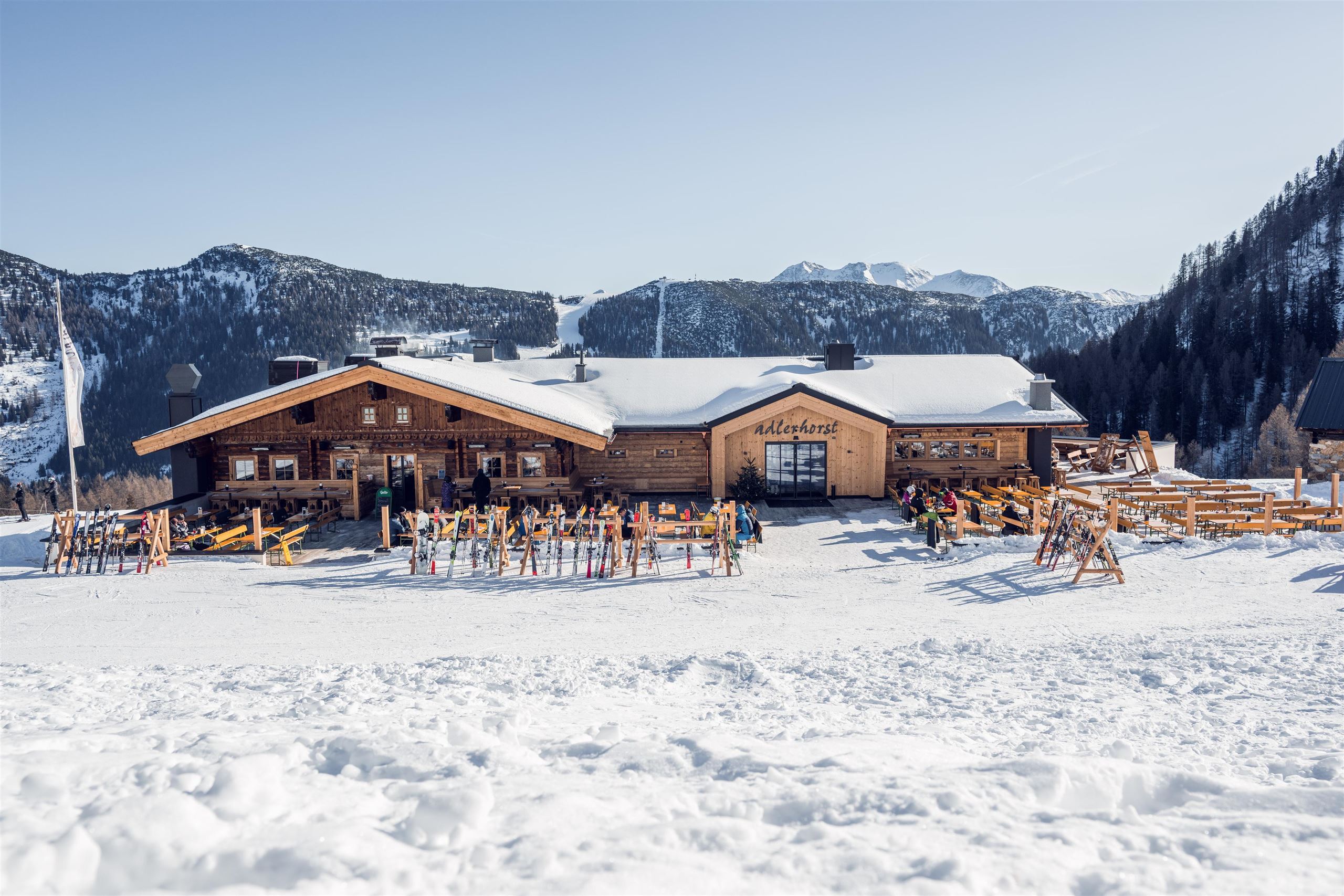
Adlerhorst
5.1 km away, in Altenmarkt im Pongau
A ski and snack hut in the Zauchensee ski area above Altenmarkt; the name means eagle's eyrie, and regional dishes are served beside the slopes.
Nothing of this kind in Untertauern.
Routes
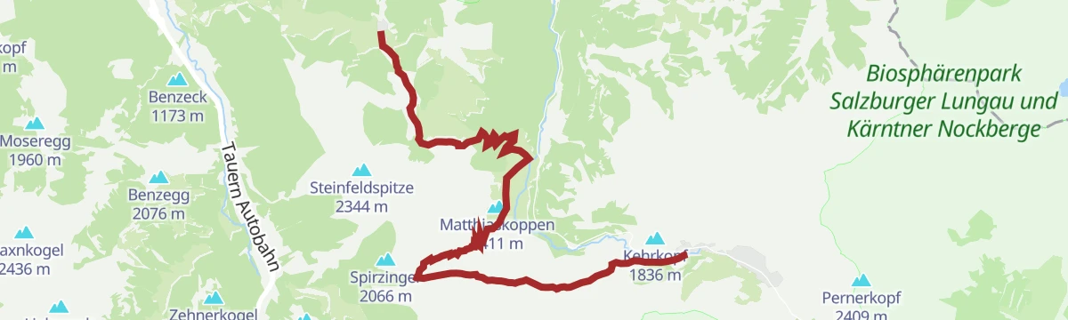
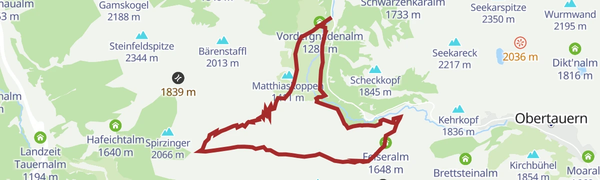
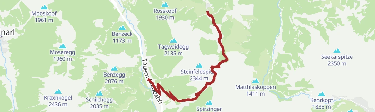
Spirzinger und Spazeck
Alm roads lead to the Südwiener Hütte, from where demanding paths carry on over the Spirzinger and Spazeck, 790 m of ascent in all.
- 13.4 km
- Distance
- 800 m
- Ascent
- 5 h 32 min
- Duration
- 43
- Check-ins
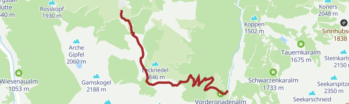
Salzburger Almenweg - Etappe 18: Zauchensee – Gnadenalm - Obertauern
Stage 18 of the Salzburger Almenweg, up and down again through the Niedere Tauern from Zauchensee past the Südwiener Hütte and the Gnadenalm to Obertauern.
- 19.0 km
- Distance
- 985 m
- Ascent
- 6 h 36 min
- Duration
- 62
- Check-ins
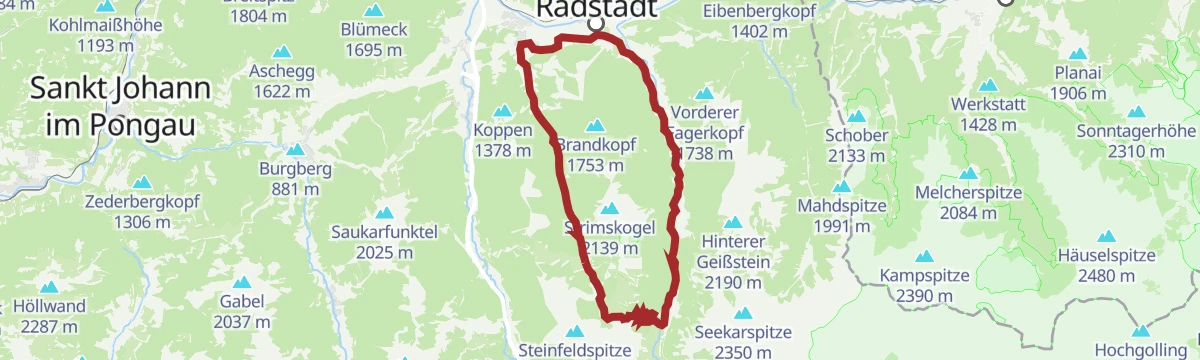
Skitour Strimskogel Zauchensee
From Zauchensee at 1,339 m a switchbacking ski climb past the Strimsalmen to the 2,139 m Strimskogel, on the ridge between Untertauern and the valley.
- 3.0 km
- Distance
- 788 m
- Ascent
- 0 m
- Descent
- 2 h 3 min
- Duration
- 12
- Check-ins
 Strimskogel 2 139 m
 Vordere Strimshütte 1 526 m
 Zauchensee 1 340 m
Zauchensee-Untertauern-Runde (SW25)
A long forest-road tour to the Gnadenalm and Vordergnadenalm, returning past the Arena Alm and the Garnhofalm at over 1,350 m.
- 37.0 km
- Distance
- 983 m
- Ascent
- 4 h 13 min
- Duration
- 46
- Check-ins
- Gnadenalm 1 250 m
- Felserhütte 1 350 m
- Vordergnadenalm 1 281 m
- Arena Alm 1 367 m
- Fischerhütte 988 m
- Zauchensee 1 340 m
- +15
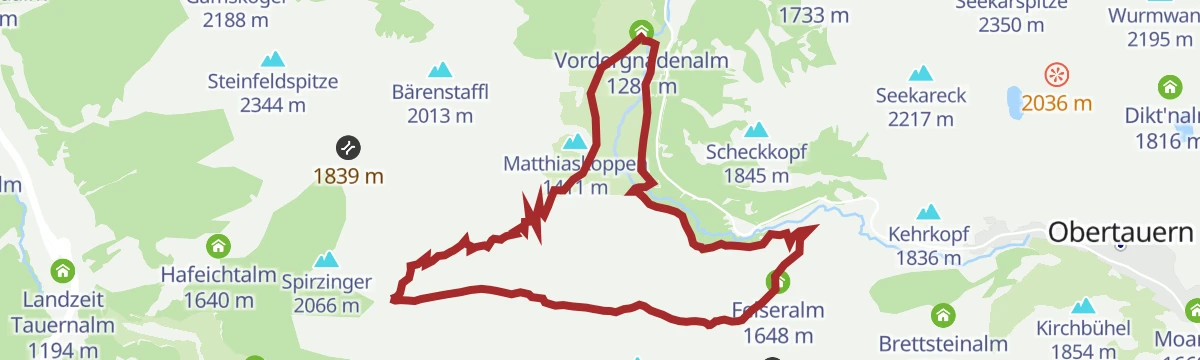
Hirschwandsteig Rundweg
Circuit of the Gnadenalm basin on the Hirschwandsteig, taking in the Südwiener Hütte and the Felseralm over 14 km.
- 14.2 km
- Distance
- 556 m
- Ascent
- 4 h 42 min
- Duration
- 38
- Check-ins
Strimskogel-Runde
A mid-altitude forest circuit above the alm basin of Zauchensee, crossing the Rauchkopf and the Strimskogel with the Rauchkopfhütte along the way.
- 13.0 km
- Distance
- 953 m
- Ascent
- 6 h 16 min
- Duration
- 53
- Check-ins
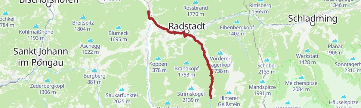
Wagrain-Kleinarl nach Obertauern
A long point-to-point ride up to the Radstädter Tauern pass and the ski resort at 1,740 m, with the Fischerhütte lower down.
- 75.8 km
- Distance
- 1 389 m
- Ascent
- 8 h 2 min
- Duration
- 27
- Check-ins
Wanderbus-Tipp: Gnadenalm - Tauernkarleiten - Zauchensee
Point-to-point walk from the Gnadenalm past the Tauernkarleitenalm and over the Stubhöhe down to Zauchensee, with the guest bus for the outward leg.
- 7.3 km
- Distance
- 461 m
- Ascent
- 2 h 60 min
- Duration
- 24
- Check-ins
Wanderbus-Tipp: Gnadenalm - Hirschwandsteig - Runde
Bus-served round in the Radstädter Tauern: past the Gnadenalmen to the Südwiener Hütte, then along the Hirschwandsteig to the Felseralm, with the hiking bus for the return.
- 15.0 km
- Distance
- 591 m
- Ascent
- 4 h 58 min
- Duration
- 38
- Check-ins
Freizeit & Wildpark Untertauern (14)
A valley route from Kleinarl to the wildlife park at Untertauern, over the Wagrainer Höhe and past the Fischerhütte.
- 36.6 km
- Distance
- 306 m
- Ascent
- 3 h 32 min
- Duration
- 12
- Check-ins
Wanderung zum Bärenstaffl
From Zauchensee about three hours and 860 m of climbing through forest and alm meadows to the Bärenstaffl, a lookout point in the Radstädter Tauern.
- 5.9 km
- Distance
- 862 m
- Ascent
- 3 h 46 min
- Duration
- 16
- Check-ins
Alpin-Rundtour Zauchtal
A demanding high circuit above the Zauchtal taking in the Schwarzkopf, the Tagweidegg and the Steinfeldspitze, with dairy huts on the descent.
- 12.2 km
- Distance
- 1 139 m
- Ascent
- 7 h 6 min
- Duration
- 30
- Check-ins
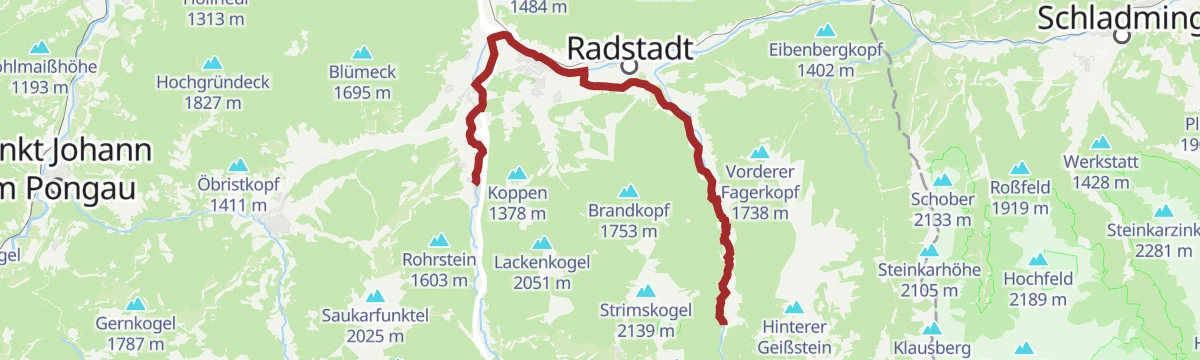
Eben nach Untertauern
A mostly level valley ride out of Eben im Pongau, through Altenmarkt and along the Taurach to the Untertauern side, past the Fischerhütte.
- 19.2 km
- Distance
- 182 m
- Ascent
- 1 h 50 min
- Duration
- 7
- Check-ins
Obertauern - Felseralm - Hirschwandsteig - Oberpleißlingalm- Flachauwinkl
Valley-to-valley crossing in the Radstädter Tauern, from Obertauern by the Felseralm and the Hirschwandsteig to the Pleißlingalmen and down to Flachauwinkl.
- 9.8 km
- Distance
- 365 m
- Ascent
- 3 h 31 min
- Duration
- 15
- Check-ins
Flachauwinkl - Oberpleißlingalm - Spirzinger (711, 27, 26)
Woodland tracks from Flachauwinkl lead up to the Obere Pleißlingalm and on to the Spirzinger, with the Südwiener Hütte off to one side of the ridge.
- 12.2 km
- Distance
- 890 m
- Ascent
- 5 h 51 min
- Duration
- 22
- Check-ins
Wildpark Untertauern (14)
A long, near-level ride on tracks out of Radstadt in the Salzburg Enns valley, passing the Fischerhütte and the Spielescheune.
- 24.7 km
- Distance
- 227 m
- Ascent
- 2 h 24 min
- Duration
- 7
- Check-ins
Oberzauchensee - Bärenstaffl - Hafeichtenalm - Flachauwinkl
A crossing from the Oberzauchensee over the Bärenstaffl to the Hafeichtalm and down to Flachauwinkl, past a string of Salzburg dairy huts.
- 11.5 km
- Distance
- 801 m
- Ascent
- 5 h 46 min
- Duration
- 7
- Check-ins
(E-)Bike Tour zum Freizeit- & Wildpark Untertauern (14)
An easy e-bike run along the valley to the wildlife park at Untertauern, passing the Fischerhütte.
- 31.9 km
- Distance
- 245 m
- Ascent
- 3 h 4 min
- Duration
- 6
- Check-ins
Römerweg zum Wildpark nach Untertauern (54)
Nearly level walk on the line of an old Roman road to the wildlife park at Untertauern, passing the Fischerhütte and a wayside chapel.
- 10.8 km
- Distance
- 177 m
- Ascent
- 2 h 49 min
- Duration
- 6
- Check-ins
Familien- & Genussradtour zum Wildpark
A long, almost level family ride to the Untertauern wildlife park, with the Spielescheune on the way.
- 48.3 km
- Distance
- 287 m
- Ascent
- 4 h 33 min
- Duration
- 6
- Check-ins
Tauernkarleiten-Tour
A half-day walk above Untertauern to the Tauernkaralm and the Stubhöhe, coming back past the Dechantshütte and the Arena Alm.
- 7.4 km
- Distance
- 458 m
- Ascent
- 3 h 8 min
- Duration
- 5
- Check-ins
Flachau - Freizeit- & Wildpark Untertauern - E-Trekkingbike (14)
An e-trekking run from Flachau down the Enns valley to the wildlife park at Untertauern.
- 23.0 km
- Distance
- 190 m
- Ascent
- 2 h 11 min
- Duration
- 6
- Check-ins
Von der Gnadenalm zur Tauernkaralm
Family walk from the Gnadenalm past the Mayerlalm and Hauskoppenalm to the Tauernkaralm and the Tauernkarsee.
- 9.3 km
- Distance
- 394 m
- Ascent
- 3 h 10 min
- Duration
- 2
- Check-ins
Freizeit & Wildpark Untertauern
A long, near-level tour from Eben im Pongau up the Taurach to the wildlife park at Untertauern, passing the Spielescheune and Stieglerhof.
- 41.1 km
- Distance
- 241 m
- Ascent
- 3 h 52 min
- Duration
- 6
- Check-ins
Graveltour Altenmarkt - Untertauern
A near-level gravel run down the Enns valley from Altenmarkt to Untertauern, passing the Fischerhütte.
- 31.0 km
- Distance
- 188 m
- Ascent
- 2 h 55 min
- Duration
- 6
- Check-ins
Untertauern Gravel-Bike-Tour
A longer gravel circuit out of Untertauern on the valley floor, with barely 260 m of climbing in all.
- 45.7 km
- Distance
- 287 m
- Ascent
- 4 h 19 min
- Duration
- 6
- Check-ins
Gravel Bike zum Wildpark nach Untertauern
A gravel ride from Radstadt up the valley to the wildlife park at Untertauern, with little climbing and the Fischerhütte on the way.
- 22.9 km
- Distance
- 196 m
- Ascent
- 2 h 13 min
- Duration
- 4
- Check-ins
No routes of this kind in Untertauern yet.
The region's own picks
Featured route
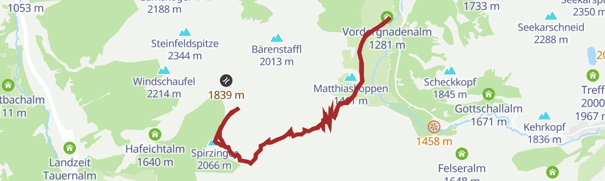
Spirzinger und Spazeck
Alm roads lead to the Südwiener Hütte, from where demanding paths carry on over the Spirzinger and Spazeck, 790 m of ascent in all.
Planning a trip to Untertauern?
Everything else Salzburg (state) has, in one place


Take Untertauern with you into the mountains
Every route on this page with 3D terrain, GPX navigation and offline maps — including the valleys with no signal.
Data sources
- Official website: salzburgersportwelt.com ↗
- Routes and highlights: Altenmarkt-Zauchensee Tourismus, Salzburger Sportwelt, Flachau Tourismus, Wagrain-Kleinarl Tourismus
- Published as open data by the tourist boards named above.
- Region summary generated from the board's own material.
