
 Historic site










Curated by Südtirols Süden
Trodena nel parco naturale/Truden im Naturpark
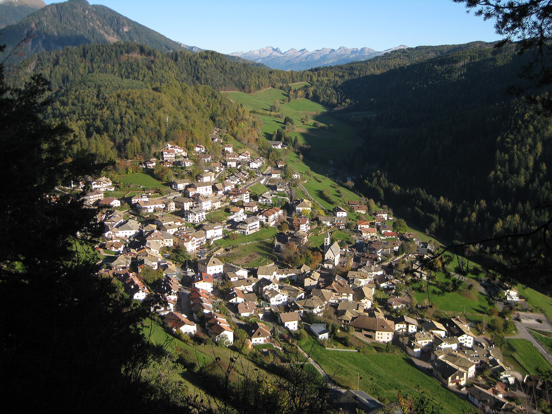
Village inside the Monte Corno nature park on the Fiemme boundary, with a visitor centre and a restored lime kiln.
Photo: Plentn · CC0 licence
- 15Highlights
- 32Routes
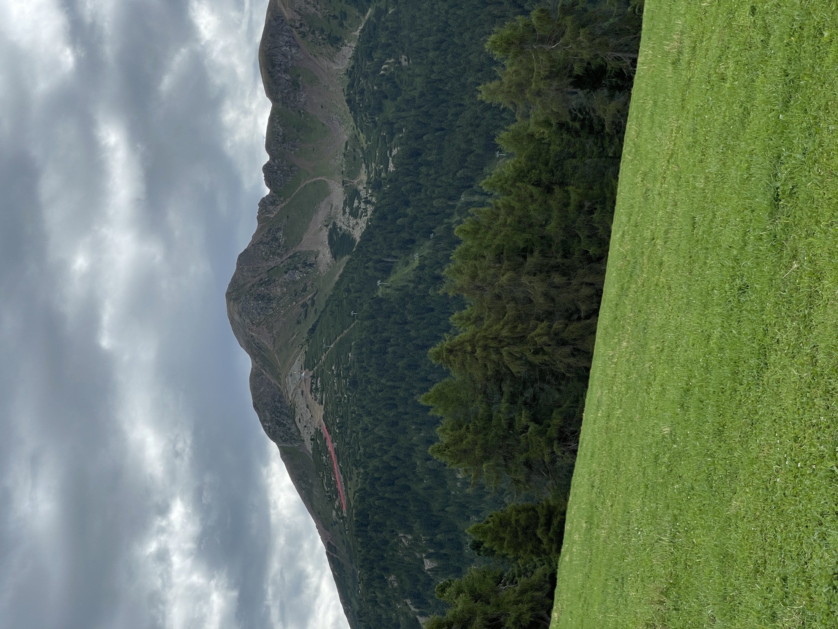
- Featured summit · Corno Nero
Highlights
All 15 from neighbouring places
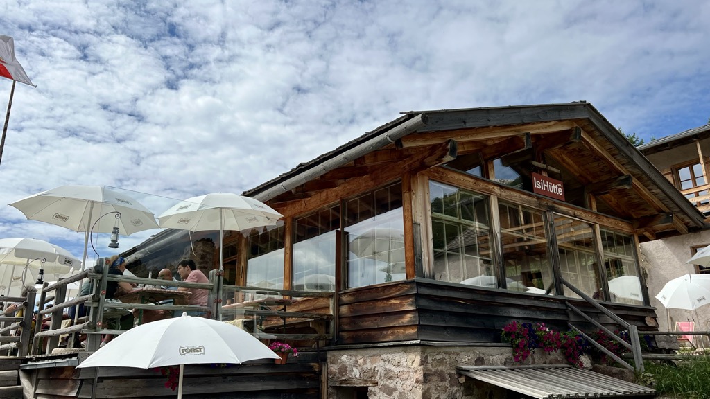
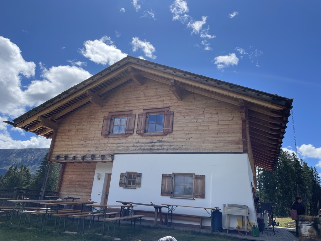
Malga Ristoro Isi
6.6 km away, in Aldino/Aldein
A pasture restaurant above Aldino, in the meadows of the Regglberg plateau below the Corno Bianco, near the Passo Oclini road.
Sterzing, Pfitsch und FreienfeldMalga ISI
6.6 km away, in Aldino/Aldein
A dairy hut turned mountain restaurant above Aldino, on the Regglberg pastures below the Corno Bianco.
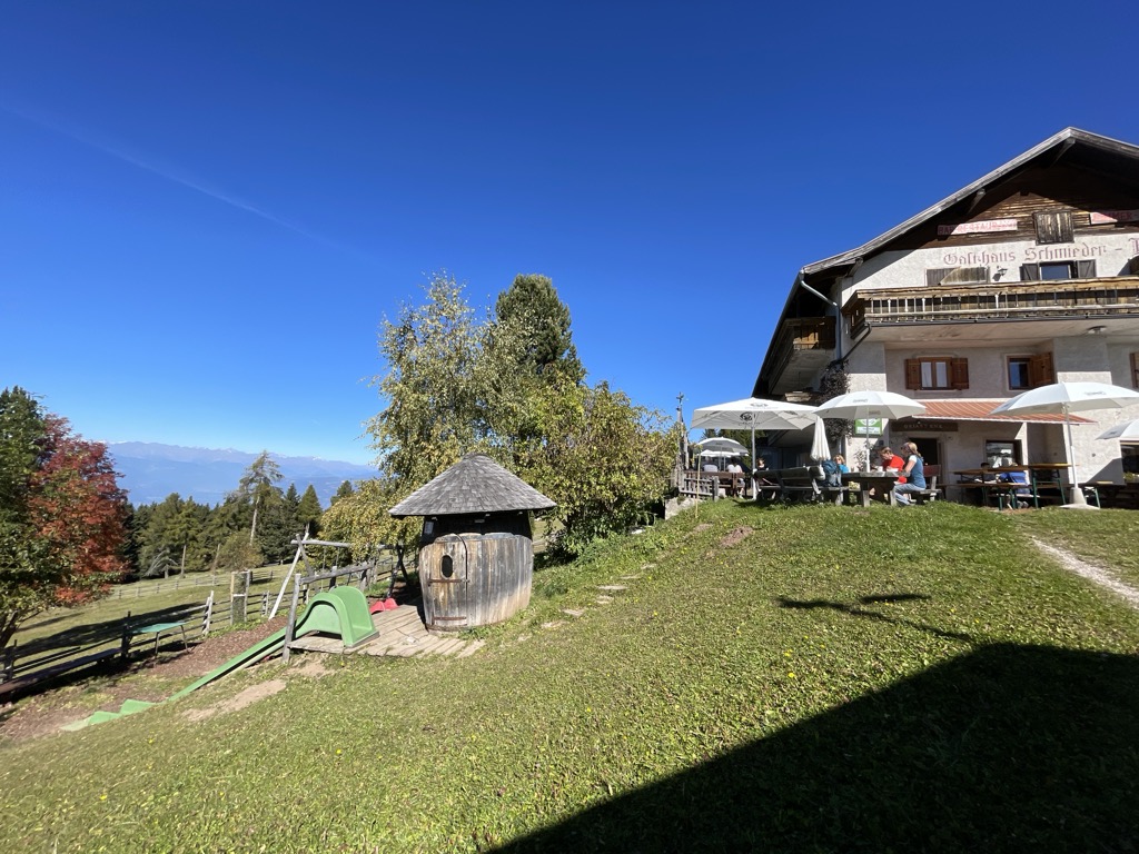
Albergo Schmiederalm
6.9 km away, in Aldino/Aldein
A pasture inn above Aldino, on the high Regglberg plateau between the Bletterbach gorge and the road to the Passo Oclini.
Malga Lahner
6.9 km away, in Aldino/Aldein
A dairy hut on the Lahner pastures above Aldino, reached by the forest road that climbs from the village toward the Corno Bianco.
Malga Laab
9.8 km away, in Nova Ponente/Deutschnofen
A working dairy on the Laab pastures above Nova Ponente, in the woods and meadows of the Val d'Ega.
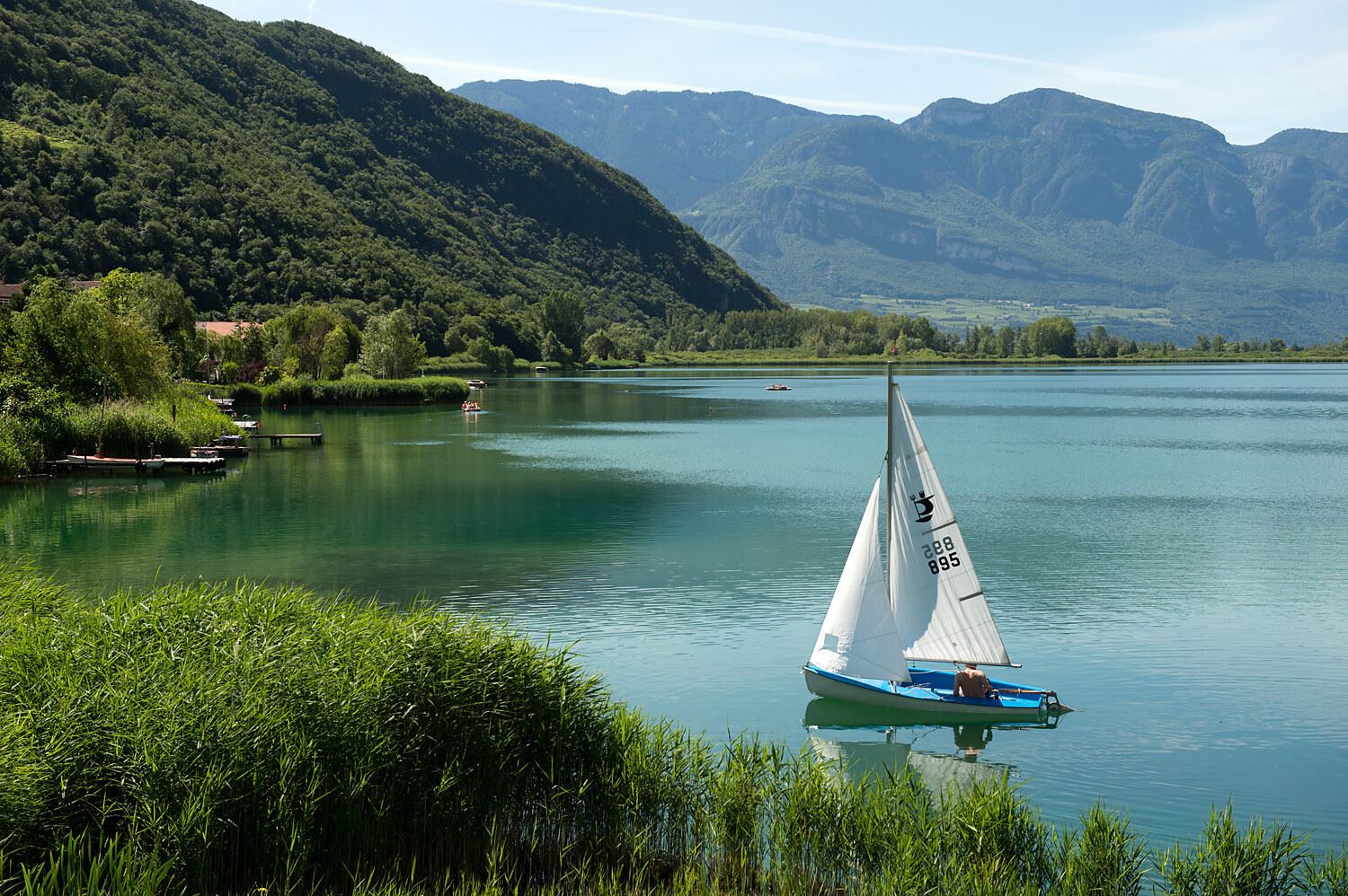
Lago di Caldaro
10.1 km away, in Caldaro sulla strada del vino/Kaltern an der Weinstraße
The warmest bathing lake in the Alps, in the vineyards below the Mendola ridge south of Bolzano.
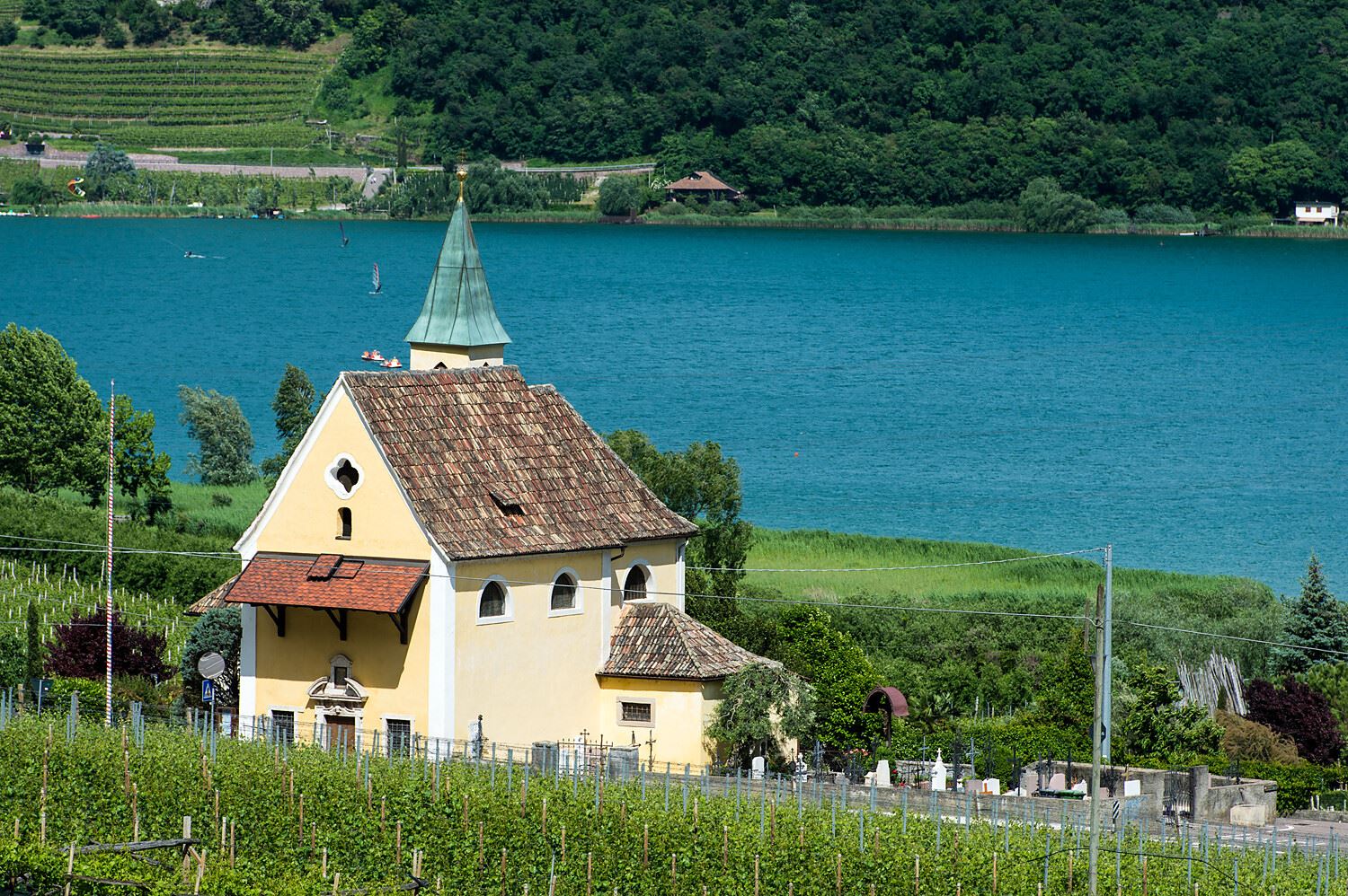
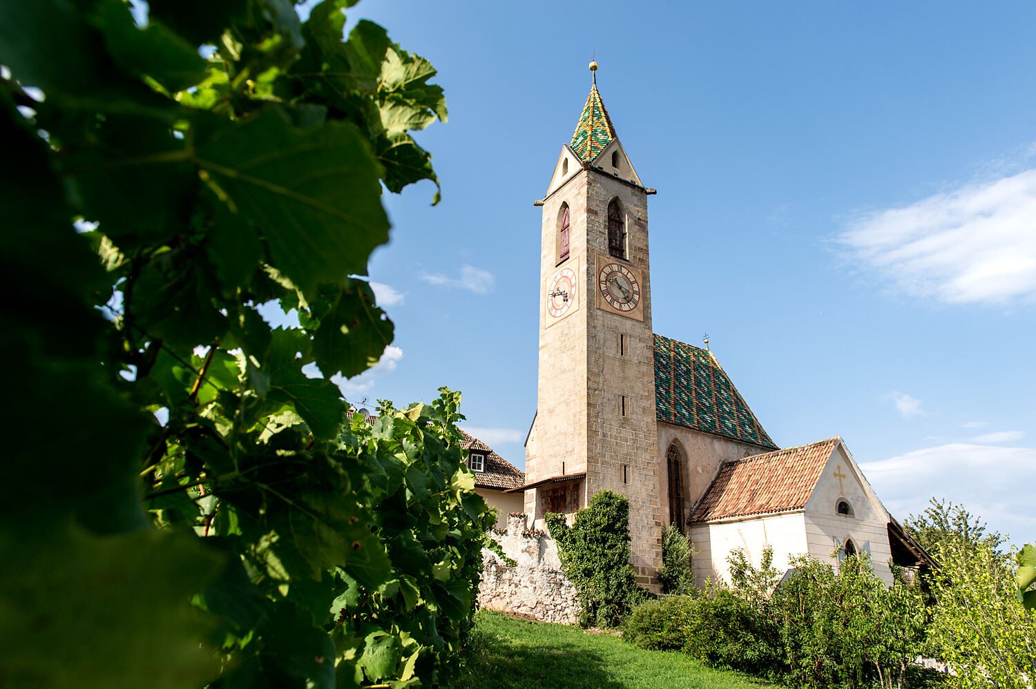
Chiesa S. Giuseppe al lago
10.5 km away, in Caldaro sulla strada del vino/Kaltern an der Weinstraße
The church of San Giuseppe on the shore of Lake Caldaro.
Tour in bicicletta:Lago di Monticolo- Lago di Caldaro
10.5 km away, in Cortaccia sulla strada del vino/Kurtatsch an der Weinstraße
A cycle route linking the Monticolo and Caldaro lakes through the Bassa Atesina vineyards.
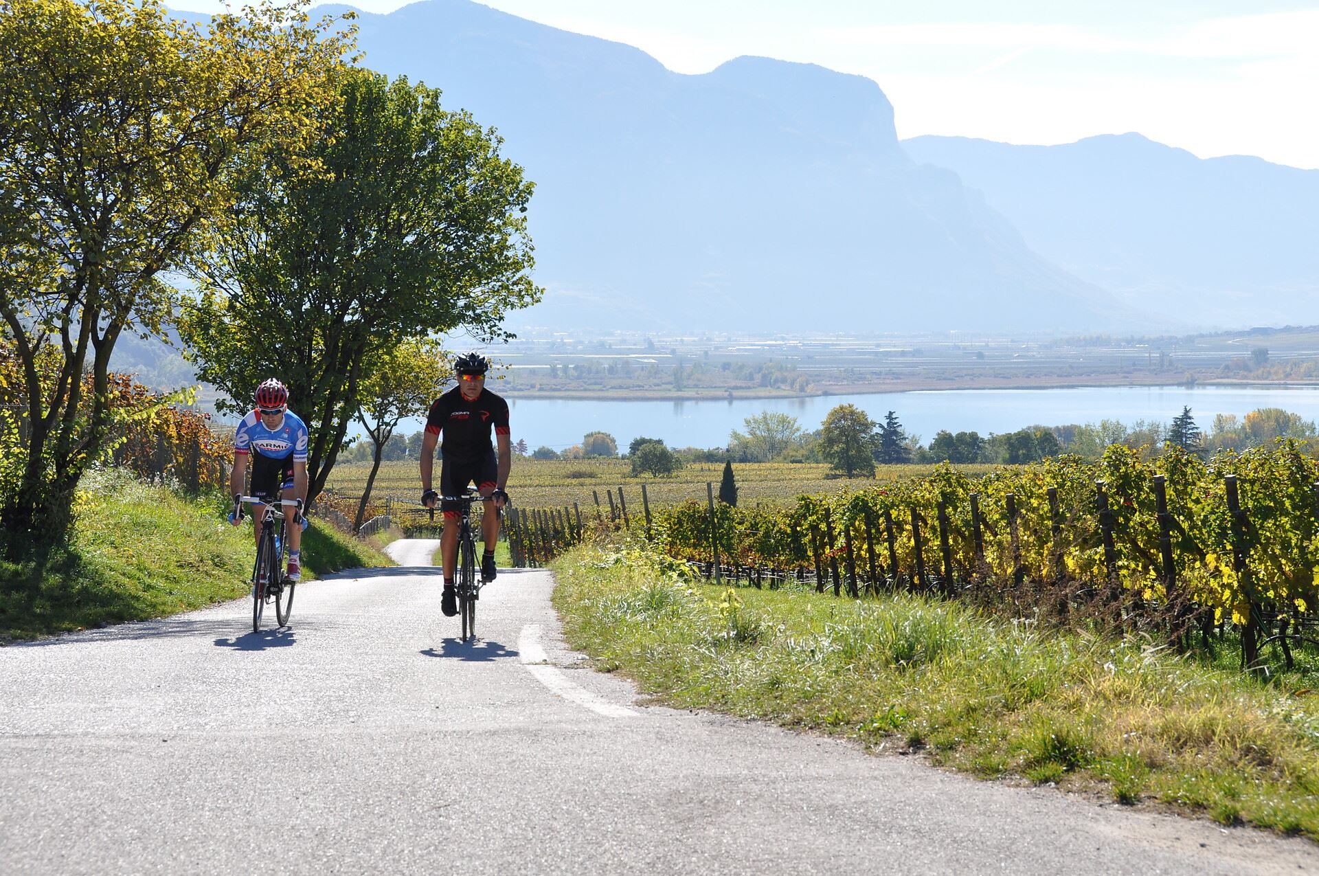
Tour in bicicletta: Lago di Caldaro
10.5 km away, in Cortaccia sulla strada del vino/Kurtatsch an der Weinstraße
A cycle route from the Cortaccia vineyards down to the Caldaro lake, the warmest bathing lake in the Alps.
Malga Costa
10.6 km away, in Nova Ponente/Deutschnofen
A dairy hut on the Costa pastures above Nova Ponente, in the Val d'Ega below the Latemar.
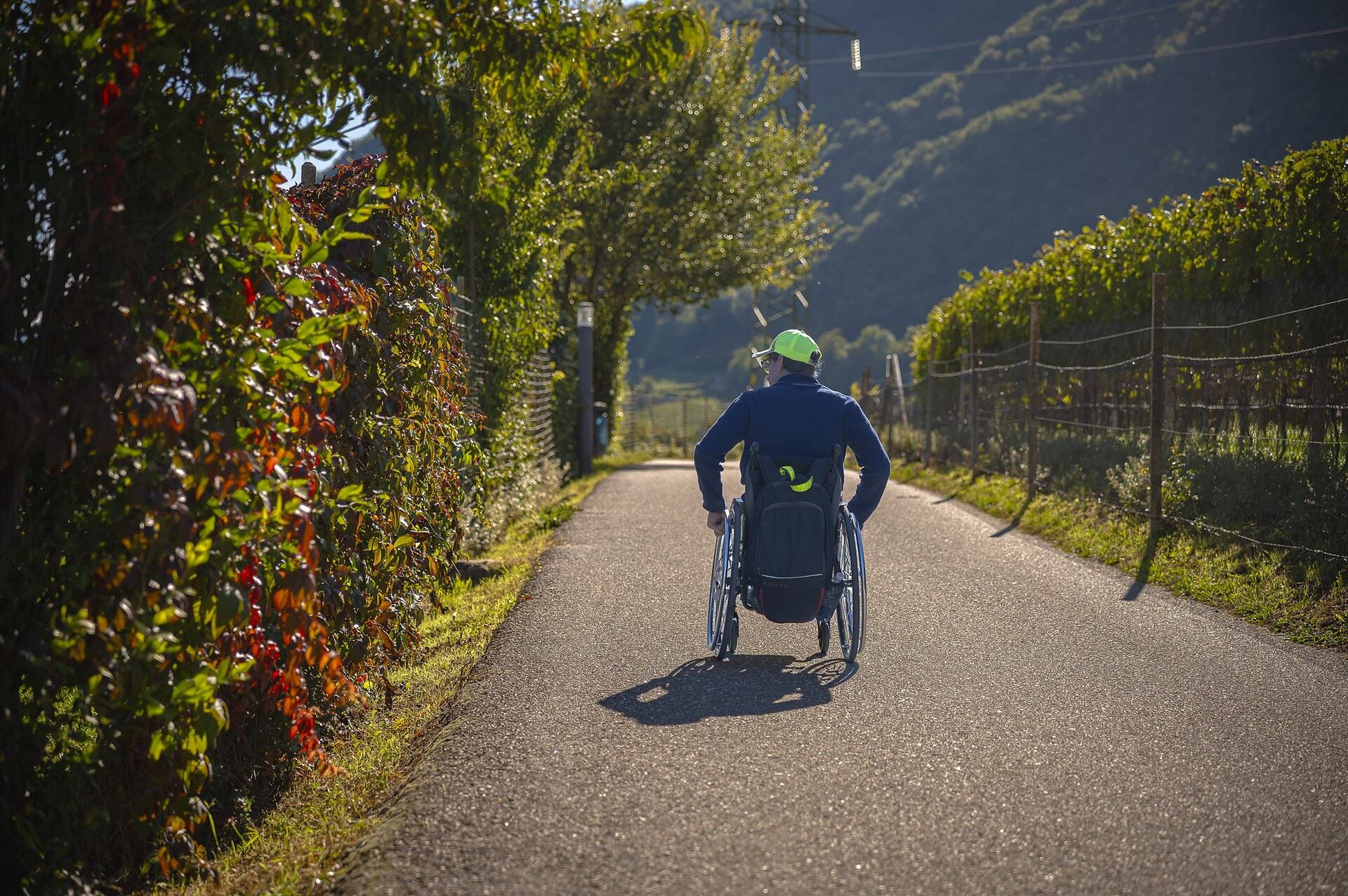
Sterzing, Pfitsch und FreienfeldPercorso accessibile a tutti al lago
10.7 km away, in Caldaro sulla strada del vino/Kaltern an der Weinstraße
A level, step-free path around part of the Caldaro lake, the warmest bathing lake in the Alps.
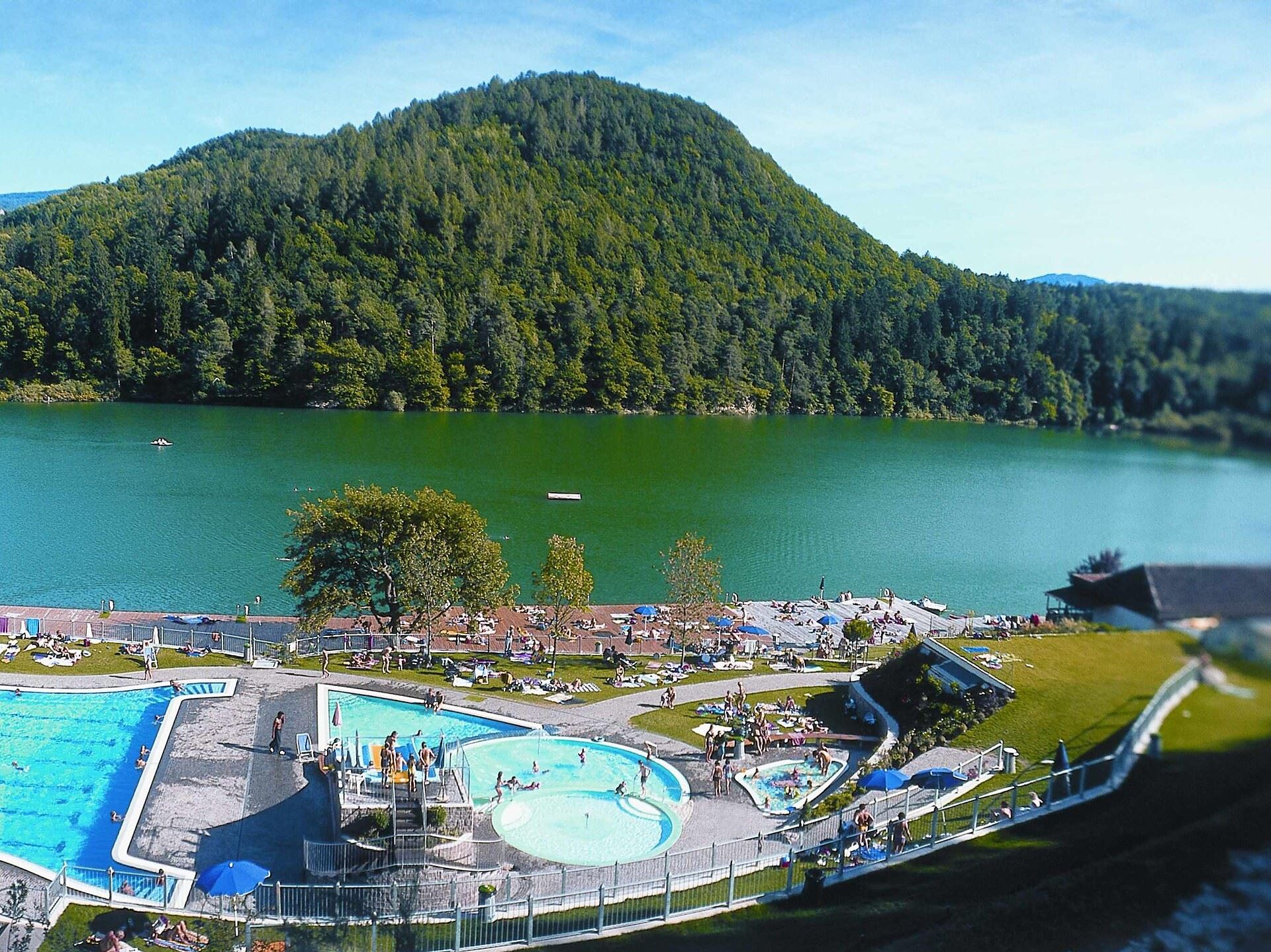
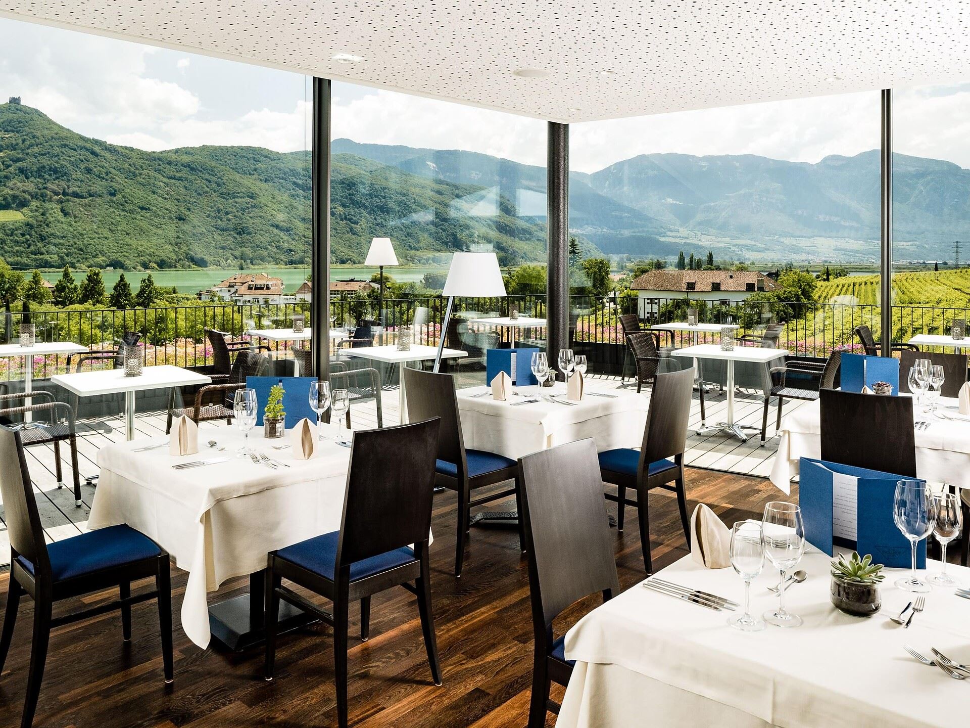
Thalhof al Lago
11 km away, in Caldaro sulla strada del vino/Kaltern an der Weinstraße
A lakeside bathing house on Lake Caldaro, among the vineyards of the Wine Road.
Chiesa S. Vigilio a Castelvecchio
11.3 km away, in Caldaro sulla strada del vino/Kaltern an der Weinstraße
The church of San Vigilio at Castelvecchio, above the Rastenbach gorge near Caldaro.
Castelvecchio (Gola Rastenbach)
11.6 km away, in Caldaro sulla strada del vino/Kaltern an der Weinstraße
The ruins of Castelvecchio above the Rastenbach gorge, on the path between Caldaro and its lake.
Castel Ringberg
11.8 km away, in Caldaro sulla strada del vino/Kaltern an der Weinstraße
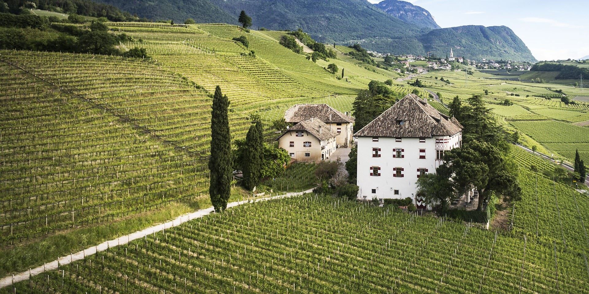
A Renaissance manor of the prince-bishops above Lake Caldaro, still a working wine estate.
Nothing of this kind in Trodena nel parco naturale/Truden im Naturpark.
Routes
Around Trodena/Trodena
A short loop through Trodena, passing a lime tree some 700 years old and climbing the old paved lane, with viewpoints over the Trudner Horn park.
- 1.8 km
- Distance
- 63 m
- Ascent
- 34 min
- Duration
Open route Südtirols SüdenTappa f | Oclini - Corno Nero - Trodena
About 500 metres of climbing from the Passo Oclini to the Corno Nero, then down its far side to the Passo Cugola above the Val di Fiemme and the Leitensteig to the Fontanefredde ice holes.
- 14.5 km
- Distance
- 807 m
- Ascent
- 7 h 17 min
- Duration
- 71
- Check-ins
 Corno Nero 2 439 m
- Il Palone 2 347 m
- Cime Di Ronchese 2 147 m
- Sasso del Gazzo 2 027 m
- Hochegg 1 836 m
 Hotel Schwarzhorn 2 011 m
- +4
Open route Sterzing, Pfitsch und FreienfeldTappa f | Trodena - Corno Nero - Oclini
The demanding leg from Trodena over the Corno Nero to the Passo Oclini, by way of Fontanefredde, the ice holes and the Passo Cugola.
- 14.5 km
- Distance
- 1 633 m
- Ascent
- 8 h 16 min
- Duration
- 71
- Check-ins
- Corno Nero 2 439 m
- Il Palone 2 347 m
- Cime Di Ronchese 2 147 m
- Sasso del Gazzo 2 027 m
- Hochegg 1 836 m
- Hotel Schwarzhorn 2 011 m
- +4
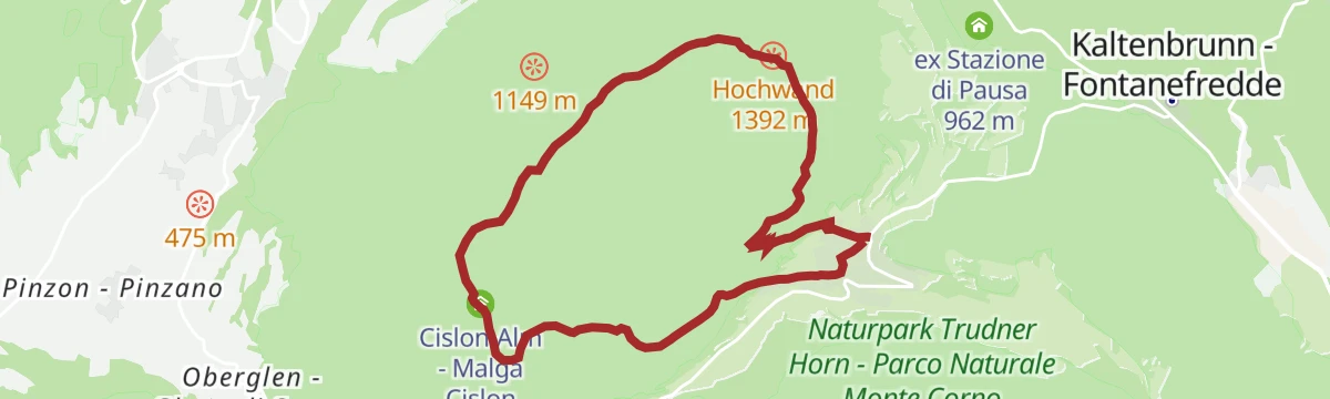
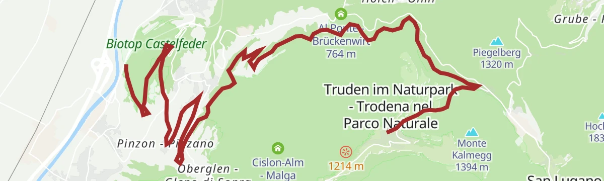
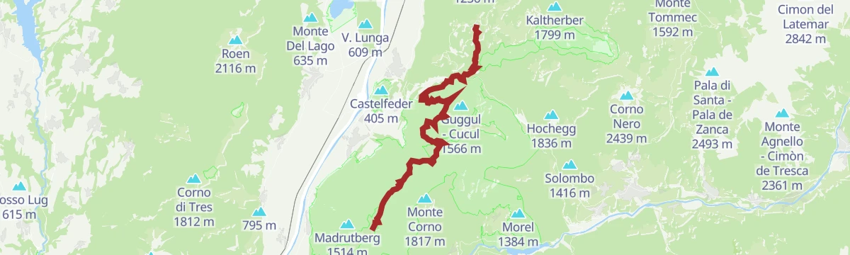
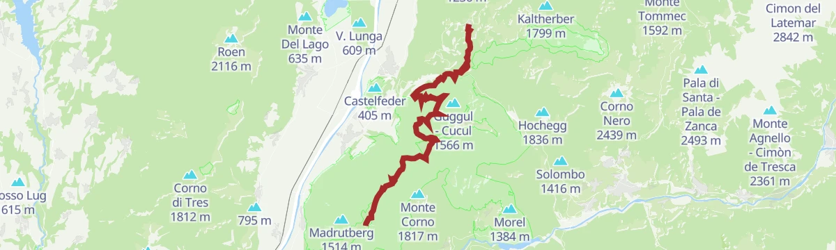
Open route Sterzing, Pfitsch und FreienfeldMTB a Malga Cislon
A long climb off the Adige floor near Castelfeder up to Malga Cislon at 1,254 m, where a fire pond sits beside the pasture.
- 48.3 km
- Distance
- 1 326 m
- Ascent
- 5 h 32 min
- Duration
- 46
- Check-ins
- Cislon-Alm - Malga Cislon 1 254 m
 Bacino Antincendio - Löschweiher 1 244 m
- ex Stazione di Pausa 962 m
- House Castelfeder 331 m
- Castelfeder - Grill-Imbiss - ristoro 221 m
- Lamberthof 734 m
- +3
Trodena-Connection Cycle Route Val di Fiemme
A short ride from the village to Fontanefredde and over the Passo San Lugano, then downhill to Molina and the Fiemme valley path.
- 11.5 km
- Distance
- 114 m
- Ascent
- 1 h 14 min
- Duration
- 19
- Check-ins
Open route Südtirols SüdenRoad Bike Adventure to Lavazé Joch: Steep Passes and Breathtaking Views
A hard road climb from the Adige floor at Auer to the Passo di Lavazè, taking the San Lugano saddle on the way.
- 94.1 km
- Distance
- 2 374 m
- Ascent
- 10 h 35 min
- Duration
- 240
- Check-ins
 Passo di Lavazè 1 807 m
- Mila Bistro 282 m
- Kampill Center 270 m
- Hiasele 312 m
- Agrocenter Bozen OHG 296 m
- Passo di San Lugano - San-Lugano-Sattel 1 097 m
- +25
Open route Südtirols SüdenCircular Hike in the Trudner Horn Nature Park
A circuit south from Trodena by the Rungganoe farm and the Peraschupf hut to the Langes Moos bog, on forest tracks in the Monte Corno park.
- 12.6 km
- Distance
- 510 m
- Ascent
- 4 h 14 min
- Duration
- 18
- Check-ins
- Passo Cisa - Ziss-Sattel 1 448 m
- Sportbar Runggen 1 060 m
- Krabes Alm - Le Malghette 1 542 m
- Schuaster Schupf 1 336 m
- Pera Schupf - Baita Pera 1 436 m
- Pinterschupf 1 392 m
- +4
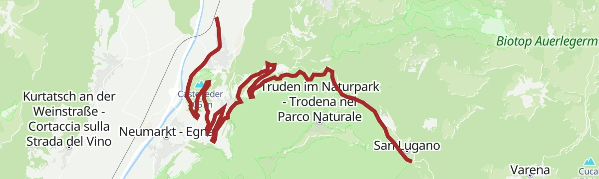
Open route Südtirols SüdenThrough the Nature Park San Lugano - Neumarkt/Egna
A long crossing of the Monte Corno park from San Lugano over the Malga Corno and the Weissensee, dropping through Gfrill to Egna in the Adige valley.
- 21.5 km
- Distance
- 789 m
- Ascent
- 8 h 5 min
- Duration
- 49
- Check-ins
- Malga Monte Corno - Trudner Horn Alm 1 710 m
- Passo di San Lugano - San-Lugano-Sattel 1 097 m
- Antonio Longo 1 104 m
- Passo Cisa - Ziss-Sattel 1 448 m
- Krabes Alm - Le Malghette 1 542 m
- Gsteigerhof - Maso Gsteiger 895 m
- +5
Open route Südtirols SüdenSmall Trodena Round (Old railroad track)
A round that drops through vineyards to Gleno and Montagna, then follows the dismantled Fiemme railway over its bridges back up to Fontanefredde.
- 17.6 km
- Distance
- 709 m
- Ascent
- 2 h 14 min
- Duration
- 10
- Check-ins
Open route Südtirols SüdenSantuario di Pietralba
A big road day from the Fiemme valley over the Passo di Lavazè and the Passo di Pramadiccio to the sanctuary above Aldino.
- 59.4 km
- Distance
- 1 701 m
- Ascent
- 6 h 53 min
- Duration
- 93
- Check-ins
- Passo di Lavazè 1 807 m
- Cappella della Beata Vergine del Rosario della nuova Pompei 985 m
- Hotel Erica 1 224 m
- Al Ponte - Brückenwirt 764 m
- Lago di Lavazè 1 805 m
- Passo di Pramadiccio 1 431 m
- +10
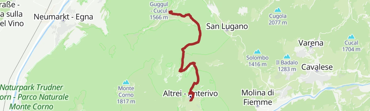
Open route APT Fiemme CembraAltrei/Anterivo- Krabes Alm
A walk from Anterivo over the Langes Moos high bog to the Krabes Alm at 1,540 m, returning by the Ziss saddle.
- 11.4 km
- Distance
- 368 m
- Ascent
- 3 h 35 min
- Duration
- 15
- Check-ins
- Passo Cisa - Ziss-Sattel 1 448 m
- Hotel Waldheim 1 219 m
- Krabes Alm - Le Malghette 1 542 m
- Baita del Felice 1 556 m
Open route Südtirols SüdenCircumnavigation Nature Park Monte Corno
A full loop of the Monte Corno park on the E5 by the Ziss saddle and the Horn Alm, facing the Lagorai and the Pale di San Martino, back along the old railway.
- 24.1 km
- Distance
- 895 m
- Ascent
- 7 h 51 min
- Duration
- 37
- Check-ins
- Malga Monte Corno - Trudner Horn Alm 1 710 m
- Passo di San Lugano - San-Lugano-Sattel 1 097 m
- Passo Cisa - Ziss-Sattel 1 448 m
- Krabes Alm - Le Malghette 1 542 m
- Malga Pausa 1 480 m
- Malghette 1 472 m
Open route Südtirols SüdenRoadbike: Valle di Cembra
A hundred-kilometre road tour from the Weinstraße down to Lavis, then up the terraced Cembra valley and back over the San Lugano pass.
- 99.7 km
- Distance
- 1 141 m
- Ascent
- 9 h 55 min
- Duration
- 64
- Check-ins
- Prati Del Diavolo 208 m
- Cappella della Beata Vergine del Rosario della nuova Pompei 985 m
- Al Ponte - Brückenwirt 764 m
- Ristorante Bar Vecchia Stazione 1 010 m
- B&B Casa Giovannelli 1 013 m
- Hotel Pausa 922 m
- +10
Open route Südtirols SüdenGiro di Trodena
A round from the centre of Trodena to the Leger viewpoint and Monte Cucul, then down to the Malga Cislon through pine scrub and rhododendron.
- 8.3 km
- Distance
- 296 m
- Ascent
- 2 h 41 min
- Duration
- 15
- Check-ins
- Cislon-Alm - Malga Cislon 1 254 m
- Bacino Antincendio - Löschweiher 1 244 m
- Bacino Antincendio - Löschweiher 1 239 m
Open route Sterzing, Pfitsch und FreienfeldG-GE-01 Truden alte Bahntrasse-Fleimstal
A long crossing from the Adige valley by way of Truden and the old railway alignment towards the Val di Fiemme.
- 28.4 km
- Distance
- 941 m
- Ascent
- 8 h 9 min
- Duration
- 28
- Check-ins
Bike Tour Auer- Fleimstalbahn- San Lugano
A climb from Ora on the trackbed of the old Fleimstalbahn up to the San Lugano saddle.
- 27.0 km
- Distance
- 985 m
- Ascent
- 3 h 1 min
- Duration
- 34
- Check-ins
- Passo di San Lugano - San-Lugano-Sattel 1 097 m
- Antonio Longo 1 104 m
- ex Stazione di Pausa 962 m
- House Castelfeder 331 m
- Elsenhof 644 m
Open route Südtirols SüdenCisloner tour
A panoramic round above Trodena to the Cisloner Alm, first in mixed pine forest and then over open pasture with the Adige valley in view.
- 7.9 km
- Distance
- 320 m
- Ascent
- 2 h 38 min
- Duration
- 13
- Check-ins
- Cislon-Alm - Malga Cislon 1 254 m
- Bacino Antincendio - Löschweiher 1 244 m
Open route Südtirols SüdenOberradein
A quiet stage from Oberradein through the Trudner Horn nature park, over hay meadows and past the Weißsee to the mountain village of Gfrill.
- 20.1 km
- Distance
- 846 m
- Ascent
- 7 h 1 min
- Duration
- 26
- Check-ins
Fiemme Old Railway
A ride from the Val di Fiemme over the Passo di San Lugano, then down the old railway trackbed and its tunnels towards Ora.
- 24.3 km
- Distance
- 286 m
- Ascent
- 2 h 42 min
- Duration
- 26
- Check-ins
- Passo di San Lugano - San-Lugano-Sattel 1 097 m
- ex Stazione di Pausa 962 m
- House Castelfeder 331 m
- Elsenhof 644 m
- Laghetto di Brozin 996 m
Open route APT Fiemme CembraMalga Cislon
An easy year-round walk to the Malga Cislon at the mouth of the Val di Fiemme, inside the small but densely wooded Monte Corno park.
- 9.4 km
- Distance
- 304 m
- Ascent
- 2 h 57 min
- Duration
- 13
- Check-ins
- Cislon-Alm - Malga Cislon 1 254 m
- Bacino Antincendio - Löschweiher 1 244 m
Open route APT Fiemme CembraTrodena-Anterivo-Trodena
A long round from Trodena down to the old sawmill, up the Kaltwasser valley to the Passo Cisa and the Malghette, then back by Anterivo and the railway bed.
- 23.5 km
- Distance
- 696 m
- Ascent
- 7 h 13 min
- Duration
- 22
- Check-ins
- Passo di San Lugano - San-Lugano-Sattel 1 097 m
- Passo Cisa - Ziss-Sattel 1 448 m
- Krabes Alm - Le Malghette 1 542 m
- Malga Pausa 1 480 m
- Malghette 1 472 m
Open route Südtirols SüdenTrodena-Connection Cycle Route Adige
A long descent from Truden im Naturpark by Kaltenbrunn and Montan, dropping past Castelfeder to join the cycle path in the Adige valley.
- 20.2 km
- Distance
- 159 m
- Ascent
- 2 h 16 min
- Duration
- 15
- Check-ins
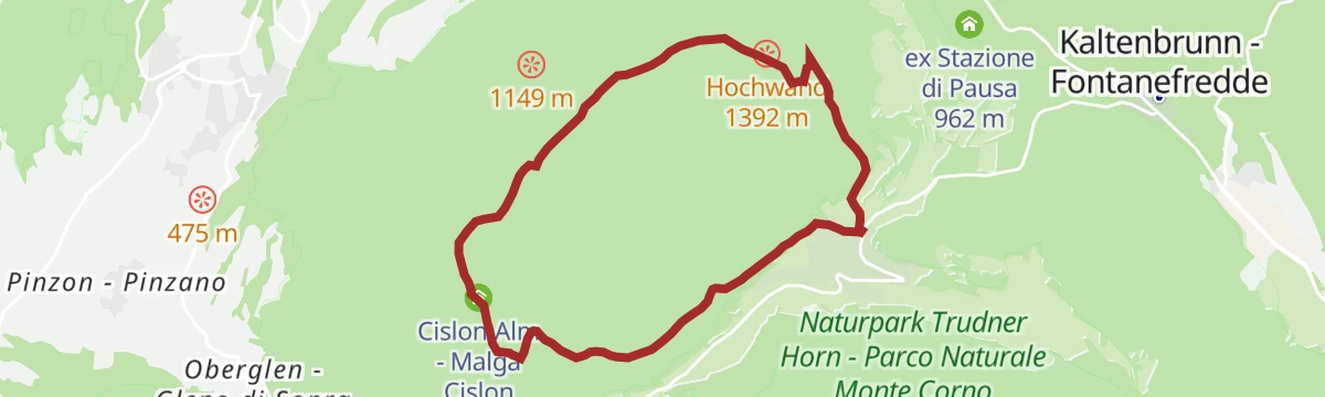
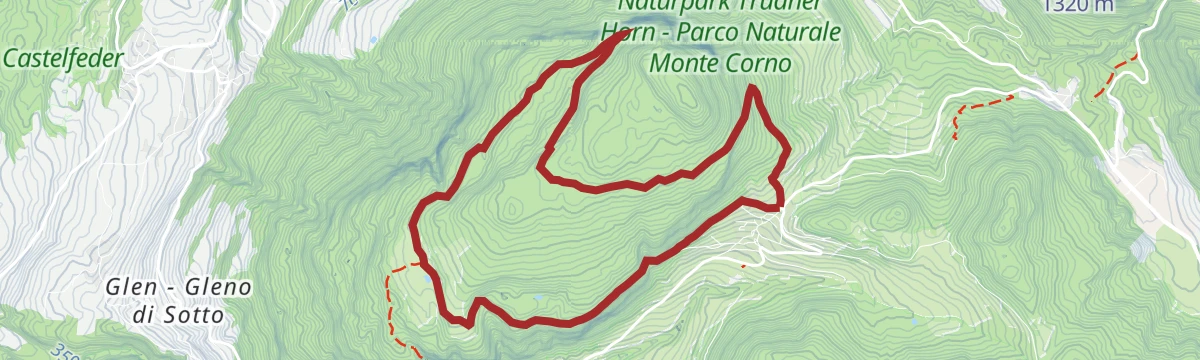
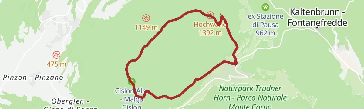
Open route Südtirols SüdenTruden / Trodena - Hohe Wand - Cislonalm / Malga Cislon - Truden / Trodena
A short round above Trodena taking in the Hohe Wand viewpoint and the Malga Cislon before dropping back to the village.
- 8.0 km
- Distance
- 305 m
- Ascent
- 2 h 38 min
- Duration
- 13
- Check-ins
- Cislon-Alm - Malga Cislon 1 254 m
- Bacino Antincendio - Löschweiher 1 244 m
Open route Südtirols SüdenTappa b1 | Aldino – Cauria
A demanding stage from Aldino across the Monte Cislon, by way of the 1960s bridge below the village, the Malga Cislon and the Sella di Cauria.
- 23.9 km
- Distance
- 1 436 m
- Ascent
- 9 h 44 min
- Duration
- 16
- Check-ins
- Cislon-Alm - Malga Cislon 1 254 m
- Al Ponte - Brückenwirt 764 m
- Dorfnerhof 950 m
- Infostelle Parco 1 331 m
- Gfriller Sattel - Sella di Cauria 1 450 m
Open route Sterzing, Pfitsch und FreienfeldTappa e | Anterivo - Trodena
A stage through the Monte Corno nature park from Anterivo to Trodena, calling at the Palù Longa peat bog and the Krabes Alm.
- 9.6 km
- Distance
- 348 m
- Ascent
- 3 h 10 min
- Duration
- 8
- Check-ins
- Krabes Alm - Le Malghette 1 542 m
- Schuaster Schupf 1 336 m
- Pera Schupf - Baita Pera 1 436 m
- Pinterschupf 1 392 m
- Baita del Felice 1 556 m
- Erster Runggaöer Weiher 1 219 m
Open route Sterzing, Pfitsch und FreienfeldTappa b1 | Cauria – Aldino
A demanding stage from Cauria down over the Passo Cauria to Casignano and Molini, then steeply to the Malga Cislon and on to Aldino.
- 23.9 km
- Distance
- 1 343 m
- Ascent
- 9 h 43 min
- Duration
- 16
- Check-ins
- Cislon-Alm - Malga Cislon 1 254 m
- Al Ponte - Brückenwirt 764 m
- Dorfnerhof 950 m
- Infostelle Parco 1 331 m
- Gfriller Sattel - Sella di Cauria 1 450 m
Open route Sterzing, Pfitsch und FreienfeldTappa e | Trodena - Anterivo
A leg from Trodena to Anterivo by way of the Malga Krabes and the Palu Longa peat bog, ending on an old cobbled track.
- 9.6 km
- Distance
- 410 m
- Ascent
- 3 h 13 min
- Duration
- 8
- Check-ins
- Krabes Alm - Le Malghette 1 542 m
- Schuaster Schupf 1 336 m
- Pera Schupf - Baita Pera 1 436 m
- Pinterschupf 1 392 m
- Baita del Felice 1 556 m
- Erster Runggaöer Weiher 1 219 m
Open route Sterzing, Pfitsch und FreienfeldTrail b1 | Aldein - Gfrill
A hard day linking Aldein with Gfrill over the Cislon, past Gschnon, the old bridge below the village and the Cisloner Alm high above it.
- 23.7 km
- Distance
- 1 452 m
- Ascent
- 9 h 47 min
- Duration
- 16
- Check-ins
- Cislon-Alm - Malga Cislon 1 254 m
- Al Ponte - Brückenwirt 764 m
- Dorfnerhof 950 m
- Infostelle Parco 1 331 m
- Gfriller Sattel - Sella di Cauria 1 450 m
Open route Südtirols SüdenMuletrack Anterivo - Trodena
An old mule track from Anterivo to Trodena, passing the Krabes Alm and the hay barns of the Peraschupf and Pinterschupf.
- 8.6 km
- Distance
- 330 m
- Ascent
- 2 h 53 min
- Duration
- 7
- Check-ins
- Krabes Alm - Le Malghette 1 542 m
- Schuaster Schupf 1 336 m
- Pera Schupf - Baita Pera 1 436 m
- Pinterschupf 1 392 m
- Tonelahütte - Baita Tonela 1 407 m
- Riegen - Baita Righen 1 481 m
- +1
Open route Südtirols SüdenTrail b1 | Cauria – Aldino
A long stage from Cauria over the Gfrill saddle to Casignano and Molini, then down to the Cislon alp and up again to Aldino.
- 23.7 km
- Distance
- 1 349 m
- Ascent
- 9 h 43 min
- Duration
- 16
- Check-ins
- Cislon-Alm - Malga Cislon 1 254 m
- Al Ponte - Brückenwirt 764 m
- Dorfnerhof 950 m
- Infostelle Parco 1 331 m
- Gfriller Sattel - Sella di Cauria 1 450 m
Open route Südtirols SüdenTappa f1 | Redagno di Sopra - Trodena
An easy stage descending through Redagno di Sotto to the cold-air ice holes at Fontanefredde, then rising gently across to Trodena.
- 7.1 km
- Distance
- 172 m
- Ascent
- 2 h 28 min
- Duration
Open route Sterzing, Pfitsch und FreienfeldTappa f1 | Trodena - Redagno di Sopra
A leg from Trodena by Fontanefredde and the ice holes, climbing past Redagno di Sotto to the upper village of Redagno.
- 7.1 km
- Distance
- 566 m
- Ascent
- 2 h 55 min
- Duration
Open route Sterzing, Pfitsch und Freienfeld
No routes of this kind in Trodena nel parco naturale/Truden im Naturpark yet.
The region's own picks

Featured route
Around Trodena/Trodena
A short loop through Trodena, passing a lime tree some 700 years old and climbing the old paved lane, with viewpoints over the Trudner Horn park.
Planning a trip to Trodena nel parco naturale/Truden im Naturpark?
Everything else Trentino-Alto Adige/Südtirol has, in one place


Take Trodena nel parco naturale/Truden im Naturpark with you into the mountains
Every route on this page with 3D terrain, GPX navigation and offline maps — including the valleys with no signal.
Data sources
- Official website: bolzanodintorni.info ↗
- Routes and highlights: Südtirols Süden, Sterzing, Pfitsch und Freienfeld, Kaltern an der Weinstraße, APT Fiemme Cembra, Suedtiroler Unterland, Tramin an der Weinstraße, E5 Alps Crossing
- Published as open data by the tourist boards named above.
- Region summary generated from the board's own material.
