
 Viewpoint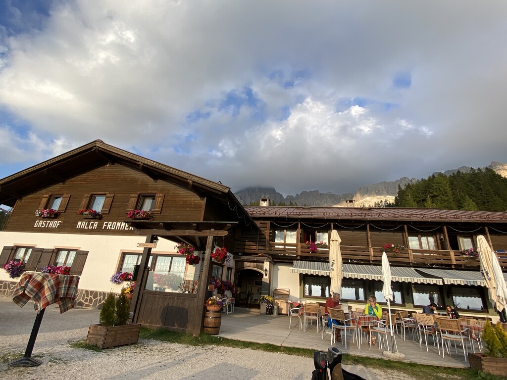
 Historic site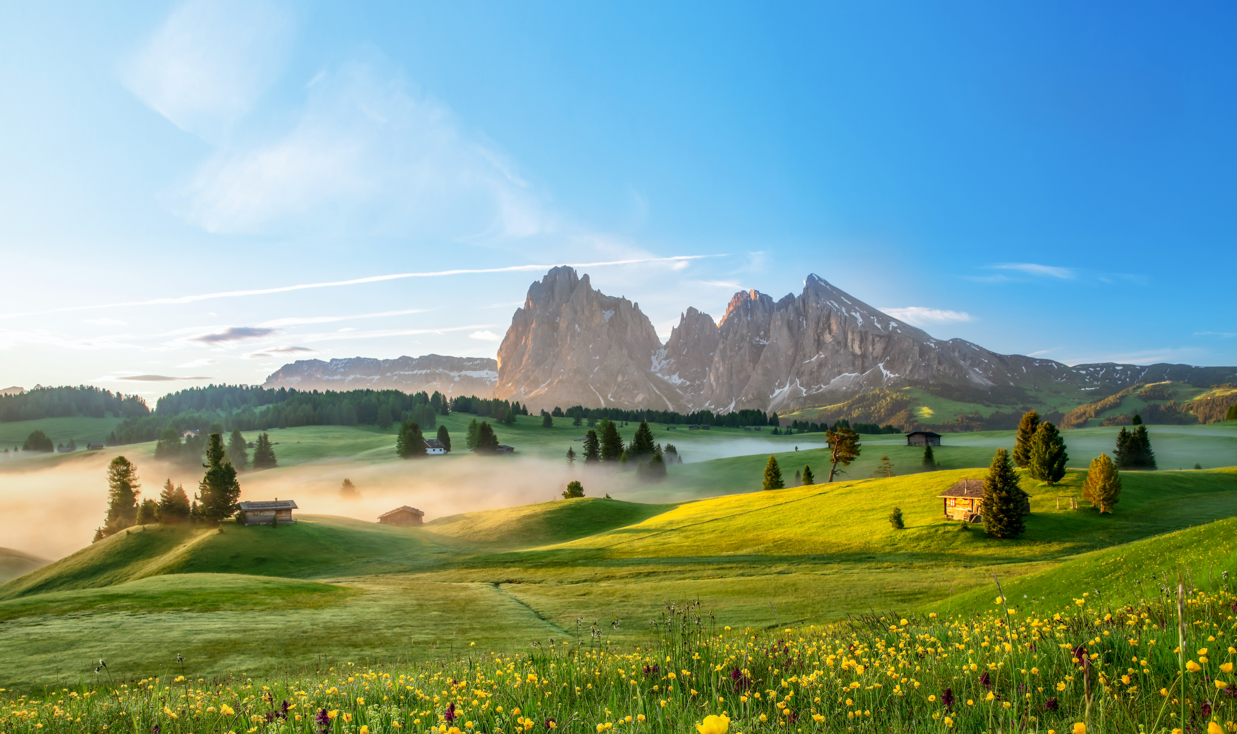
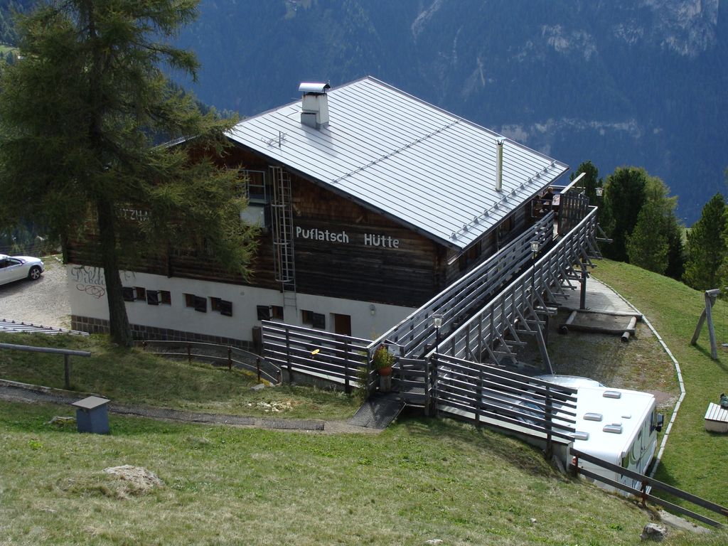
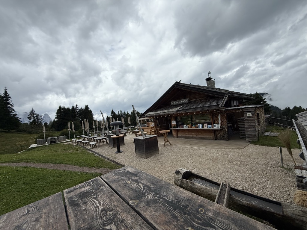






Curated by Sterzing, Pfitsch und Freienfeld
Tires/Tiers
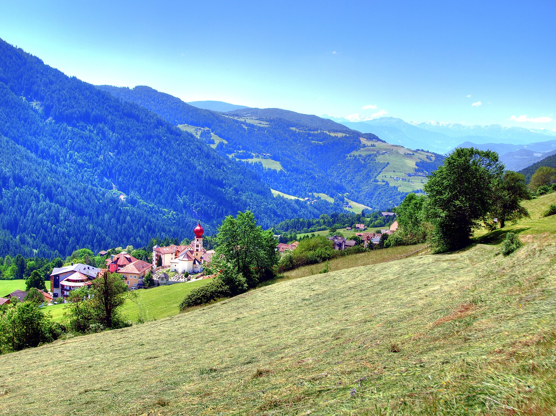
A valley village east of Bolzano under the Catinaccio, its cable car climbing towards the Rosengarten huts.
Photo: Klaus D. Peter, Wiehl, Germany · CC BY 3.0 de licence
- 3Highlights
- 14Routes
- Featured summit · Petz - Monte Pez
Highlights
12 from neighbouring places
Rifugio Re Alberto 1°
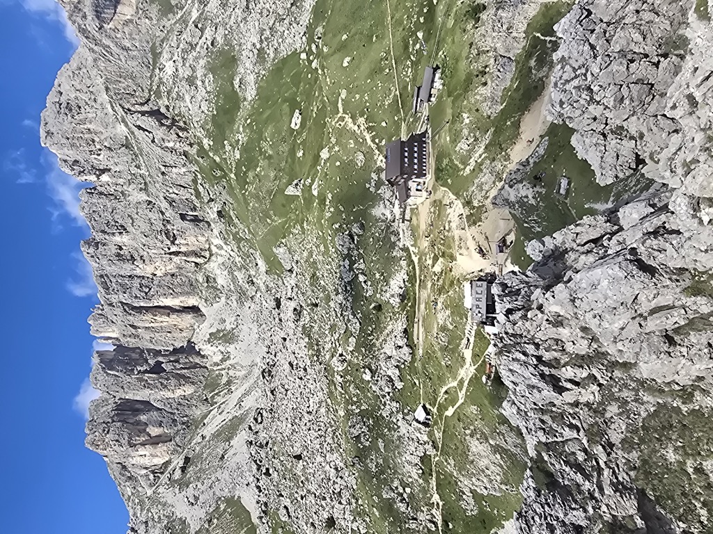
A hut at 2,621 m in the Catinaccio group, known in German as the Gartlhütte and reached by the Passo Santner via ferrata from Pera di Fassa.
rifugio Passo Santner
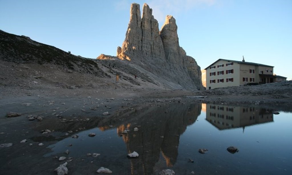
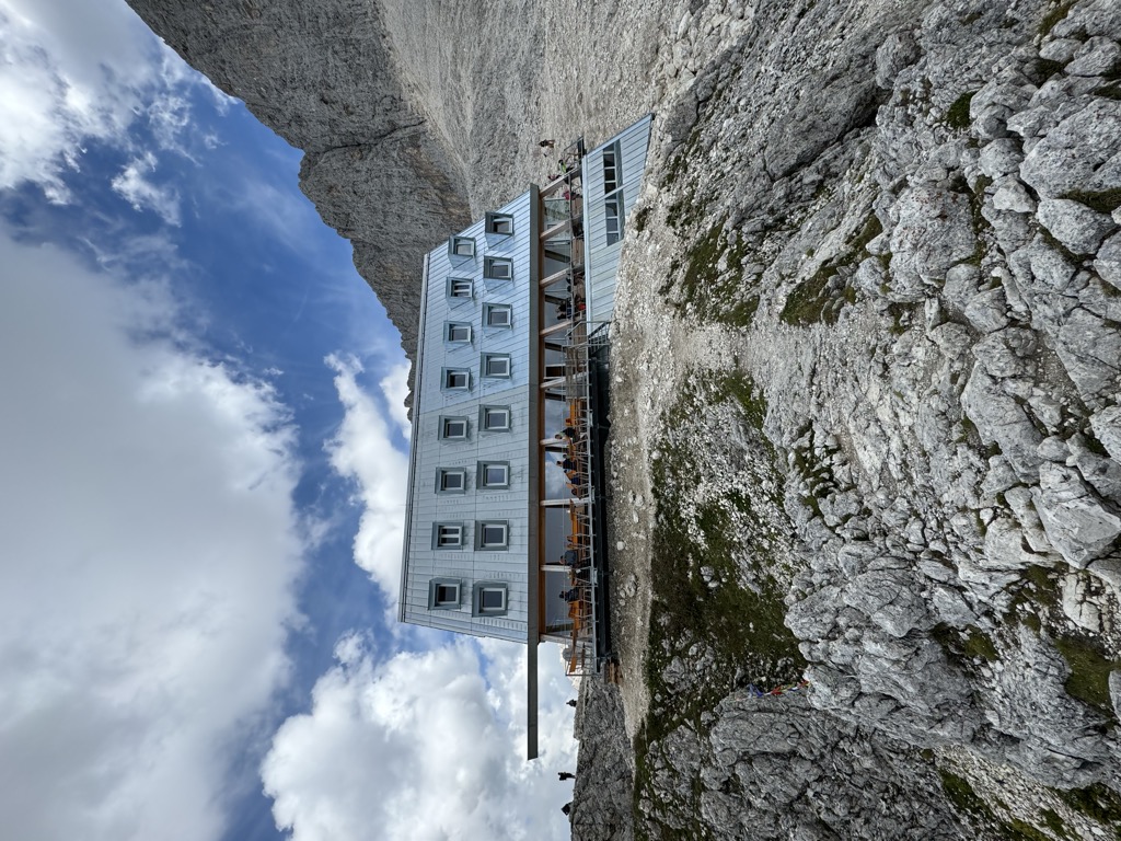
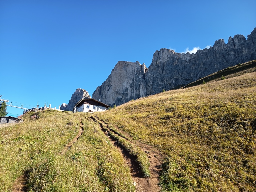
A hut at 2,734 m at the Passo Santner in the Catinaccio, at the top of the via ferrata over the pass above Tires.
Catinaccio
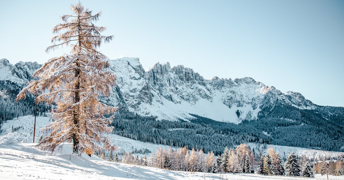
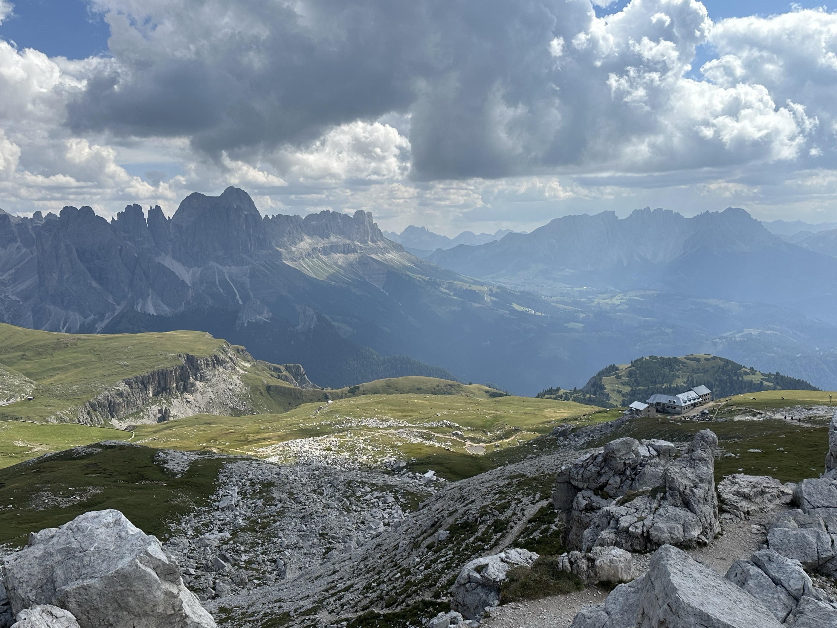
The dolomite massif of the Catinaccio, or Rosengarten, seen from Tires in the Val d'Ega; its walls redden in the evening light.
Albergo Malga Frommer
3.5 km away, in Nova Levante/Welschnofen
A dairy hut with rooms on the Frommer pastures above Nova Levante, in the Val d'Ega between the Catinaccio and the Latemar.
Rifugio Bolzano
4.1 km away, in Fiè allo Sciliar/Völs am Schlern
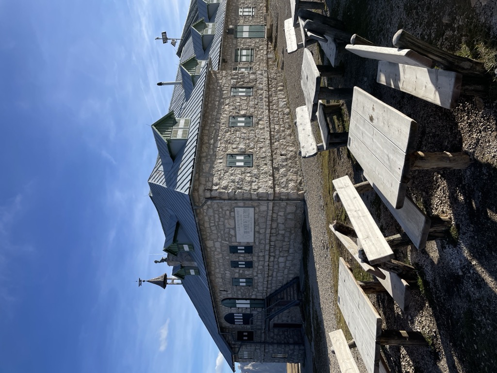
A refuge on the summit plateau of the Sciliar above Fiè, one of the oldest in South Tyrol, reached by the paths from the Alpe di Siusi.
Malga Ochsenhütte
4.7 km away, in Nova Levante/Welschnofen
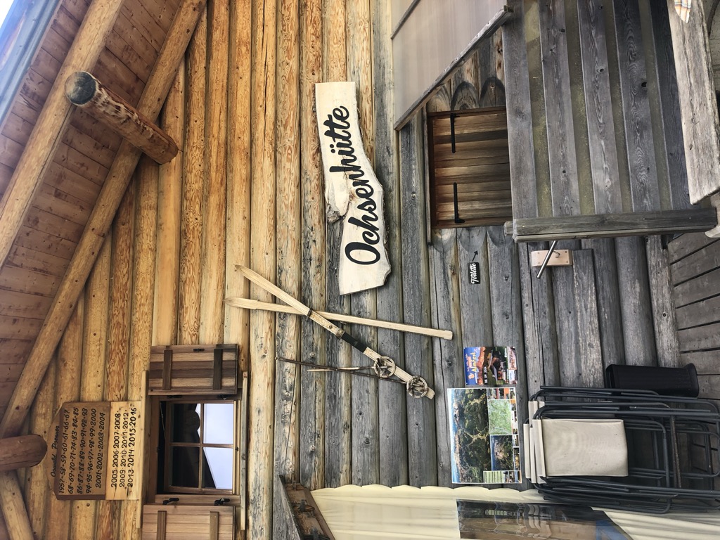
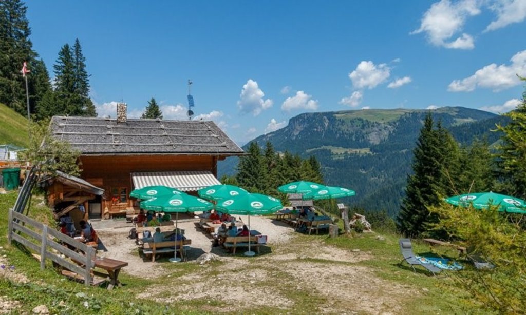
A pasture hut in the woods above Nova Levante, in the Val d'Ega.
Sterzing, Pfitsch und FreienfeldMalghetta Sciliar
5.9 km away, in Castelrotto/Kastelruth
A small hut at 1,693 m on the shelf below the Sciliar, on the Castelrotto side of the massif and beside the geological trail.
Rifugio Paolina
7.1 km away, in San Giovanni di Fassa-Sèn Jan
A hut at 2,125 m in the Carezza area below the Roda di Vael, with a wide terrace and a stage of the Dolomites World Heritage Geotrail passing by.
Baita M. Pederiva
7.5 km away, in San Giovanni di Fassa-Sèn Jan
A small hut at 2,280 m in the heart of the Catinaccio, run by the Pederiva family for generations and a base for walks and climbs of every grade.
Sterzing, Pfitsch und FreienfeldRifugio Molignon
7.9 km away, in Castelrotto/Kastelruth
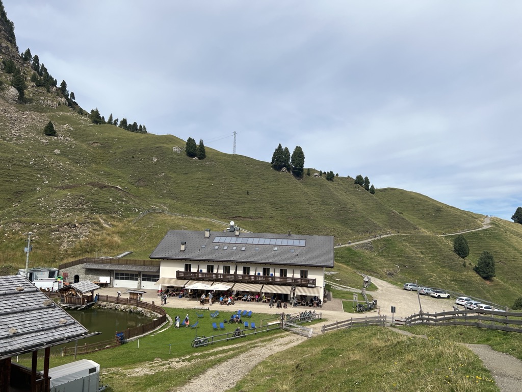
A hut at 2,059 m on the Alpe di Siusi above Castelrotto, cooking Tyrolean Geröstl with smoked speck and apple strudel straight from the oven.
Sterzing, Pfitsch und FreienfeldMini - Sentiero delle Stelle a Collepietra
8.5 km away, in Cornedo all'Isarco/Karneid
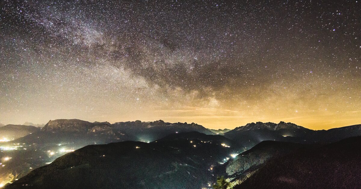
A short themed walk on the planets at Collepietra, the star village above the Val d'Ega, beside the local planetarium.
Alpe di Siusi
8.7 km away, in Castelrotto/Kastelruth
Europe's largest high alpine meadow above Castelrotto, at 1,700-2,300 m below the Sciliar.
Rifugio Dibaita
9.1 km away, in Castelrotto/Kastelruth
A hut at 1,974 m on the Alpe di Siusi, 20 minutes on foot from the centre of Compaccio, looking from the Sciliar massif across to the Ortles group.
Sterzing, Pfitsch und FreienfeldMalga Gostner Schwaige
9.2 km away, in Castelrotto/Kastelruth
A pasture hut at 1,911 m on the Alpe di Siusi above Castelrotto, on the meadows along the way from Compaccio towards Saltria.
Malga Gostner
9.2 km away, in Castelrotto/Kastelruth
A dairy hut at 1,911 m on the Alpe di Siusi making its own cheese, about 30 minutes up path 3 from Compaccio, with hay soup served in a bread crust.
Nothing of this kind in Tires/Tiers.
Routes
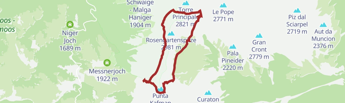
Via Ferrata Passo Santner
A short but serious ferrata among the towers of the Catinaccio to the Santner pass, with a few hard moves that call for alpine experience.
- 7.7 km
- Distance
- 1 007 m
- Ascent
- 7 h 25 min
- Duration
- 886
- Check-ins
 Rifugio Vajolet 2 243 m
- Rifugio Paul Preuss 2 243 m
 Laurinspass - Passo di Laurino 2 616 m
- Rifugio Re Alberto Primo - Gartlhütte 2 621 m
- Santnerpasshütte - Rifugio Passo Santner 2 734 m
- Kölner Hütte - Rifugio Fronza alle Coronelle 2 337 m
- +3
Open route Sterzing, Pfitsch und FreienfeldCompatsch - Lago di Antermoia - Compatsch
A hard long day from Compaccio to the Antermoia lake in the Catinaccio, over stony ground with several huts on the way; sure footing needed.
- 27.0 km
- Distance
- 1 891 m
- Ascent
- 16 h 17 min
- Duration
- 612
- Check-ins
- Passo Principe - Grasleitenpass 2 601 m
- Tierser Alpl Hütte - Rifugio Alpe di Tires 2 440 m
- Rifugio Passo Principe - Grasleitenpasshütte 2 601 m
 Lago di Antermoia - Lech de Antermoa 2 493 m
- Passo Alpe di Tires - Tierser Alpl Joch 2 440 m
- Furcela - Rosszahnscharte - Forcella Denti di Terrarossa 2 499 m
- +5
Open route Sterzing, Pfitsch und FreienfeldVia ferrata Laurenzi
One of the most technical ferratas in the Dolomites, along the Molignon crest with a very narrow airy section, facing the Sassolungo, Sella and Val Duron.
- 3.4 km
- Distance
- 600 m
- Ascent
- 4 h 3 min
- Duration
- 234
- Check-ins
 Molignon di Dentro 2 852 m
- Nordwestlicher Molignon - Molignon di Fuori 2 780 m
- Molignonspitze - Molignon di Mezzo 2 847 m
- Tierser Alpl Hütte - Rifugio Alpe di Tires 2 440 m
- Lago di Antermoia - Lech de Antermoa 2 493 m
- Passo Alpe di Tires - Tierser Alpl Joch 2 440 m
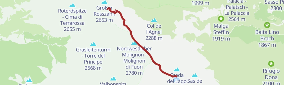
Open route Sterzing, Pfitsch und FreienfeldVia ferrata Maximilian
A technically easy ferrata along the whole Terrarossa crest, with loose unprotected ground where a head for heights is essential, above the Alpe di Siusi.
- 3.8 km
- Distance
- 387 m
- Ascent
- 3 h
- Duration
- 113
- Check-ins
- Großer Rosszahn 2 653 m
- Gugglochegg 2 648 m
- Roterdspitze - Cima di Terrarossa 2 655 m
- Tierser Alpl Hütte - Rifugio Alpe di Tires 2 440 m
Open route Sterzing, Pfitsch und FreienfeldPercorso naturalistico "Bosco & Acqua"
A themed family walk near Tires with twenty stops on woodland and water, most of them things to handle.
- 4.1 km
- Distance
- 163 m
- Ascent
- 1 h 23 min
- Duration
- 27
- Check-ins
Open route Seis am SchlernPercorso storico
A route past eleven marked points on the history of Tires below the Catinaccio, among them the parish church, the old school and the San Sebastiano chapel.
- 10.3 km
- Distance
- 422 m
- Ascent
- 3 h 30 min
- Duration
- 55
- Check-ins
- Wuhnleger Weiher 1 415 m
- Tschaminschwaige - Malga Ciamin 1 191 m
- Dolomitenhotel Weißlahnbad 1 186 m
- Haus Kritzinger 1 103 m
- Tourismusbüro Tiers 1 025 m
- Wuhnleger - Malga Wuhn 1 404 m
- +3
Open route Seis am Schlern293 Tour del Laghetto Wuhnleger
A loop above Tiers to a small pond left by a 1943 bombing, now full of toads and dragonflies, with the Vajolet Towers reflected in it.
- 11.0 km
- Distance
- 387 m
- Ascent
- 1 h 20 min
- Duration
- 55
- Check-ins
- Wuhnleger Weiher 1 415 m
- Dolomitenhotel Weißlahnbad 1 186 m
- Gasthof Edelweiss 1 059 m
- Pioger Platzl 1 055 m
- Kerschbaumerhof 1 086 m
- Haus Kritzinger 1 103 m
- +2
Open route Seis am Schlern423 Sciliar-Catinaccio Ronda in senso orario
A big circumnavigation of the Sciliar and Catinaccio massifs, crossing the Passo Duron and touching the Val di Fassa and the Val d'Ega.
- 79.4 km
- Distance
- 2 524 m
- Ascent
- 9 h 26 min
- Duration
- 768
- Check-ins
- Rifugio Micheluzzi 1 860 m
- Baita Lino Brach 1 867 m
- Baita Fraines 1 609 m
- Jëuf da Duron - Mahlknechtjoch - Passo Duron 2 204 m
- Edelweiss Hütte 2 042 m
- Mahlknecht Hütte - Rifugio Molignon 2 059 m
- +37
Open route Seis am SchlernVigo di Fassa - Costalunga/Carezza Pass - Tires - Castelrotto - Ortisei - Sella Pass - Canazei - Vigo di Fassa
A very long road circuit from Vigo over the Costalunga, through Castelrotto and Ortisei and back across the Sella pass.
- 108.5 km
- Distance
- 2 753 m
- Ascent
- 12 h 13 min
- Duration
- 2045
- Check-ins
- Val Dantermont 1 728 m
- L'Angolino del Sella 2 179 m
- In Sella 2 182 m
- Sella Pass 2 240 m
- Passo di Costalunga - Karerpass 1 745 m
- Laghetto Lupo Bianco 1 726 m
- +75
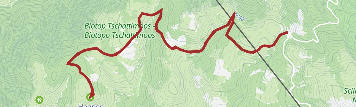
Open route APT Val di FassaEscursione per famiglie dal Passo Nigra alla malga Hagner Alm
A long but simple family walk from the Nigra pass along wide forest roads to the Hagner Alm dairy, with the Latemar and Catinaccio close at hand.
- 11.8 km
- Distance
- 188 m
- Ascent
- 3 h 13 min
- Duration
- 50
- Check-ins
- Nigerpass - Passo Nigra 1 690 m
- Niger Joch 1 689 m
- Hagner Alm - Malga Hagner 1 565 m
- Sagerer Schwaige 1 635 m
- Kreinberger Schwaige 1 601 m
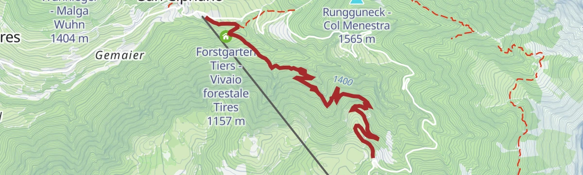
Open route Sterzing, Pfitsch und Freienfeld289 Collegamento Passo Nigra
A steep link climbing from Tiers to the Nigerpass at 1,690 m, the crossing between the Seiser Alm bike area and the Val d'Ega.
- 5.1 km
- Distance
- 551 m
- Ascent
- 53 min
- Duration
- 49
- Check-ins
- Nigerpass - Passo Nigra 1 690 m
- Niger Joch 1 689 m
- Dilln Gütl 1 147 m
- Forstgarten Tiers - Vivaio forestale Tires 1 157 m
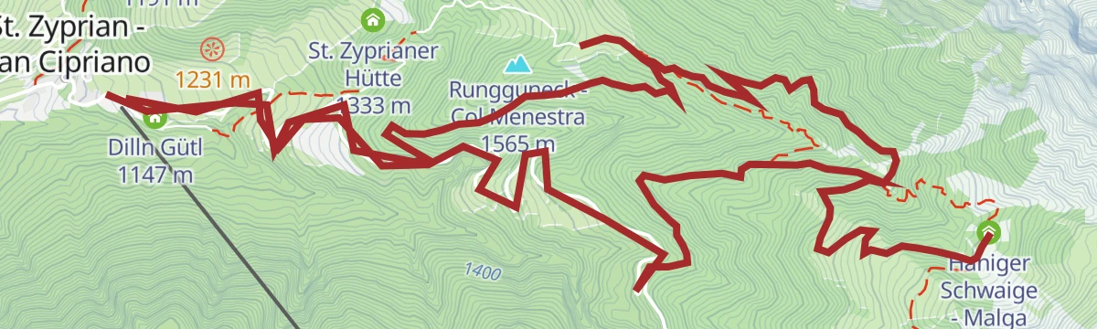
Open route Seis am Schlern398 E-bike tour Plafötsch – Haniger
A demanding hut climb above Tires, linking the Plafötsch Alm and the Haniger Schwaige, with the Catinaccio and its Vajolet Towers in view.
- 16.7 km
- Distance
- 1 231 m
- Ascent
- 3 h 4 min
- Duration
- 38
- Check-ins
Open route Seis am SchlernSentiero dell'acqua di sorgente
A walk up the Val Ciamin beside its stream, through dense spruce wood and open meadow under the wall of the Catinaccio.
- 11.5 km
- Distance
- 640 m
- Ascent
- 4 h 32 min
- Duration
- 15
- Check-ins
Open route Seis am Schlern291 Collegamento Aica di Fiè-Tires
A link mostly on the provincial road between Aica di Fiè and Tires al Catinaccio, where the Plafötsch-Haniger e-MTB tour begins.
- 8.0 km
- Distance
- 273 m
- Ascent
- 54 min
- Duration
- 27
- Check-ins
- Gasthof Edelweiss 1 059 m
- Pioger Platzl 1 055 m
- Kerschbaumerhof 1 086 m
- Haus Kritzinger 1 103 m
- Unterwegerhof 931 m
- Tourismusbüro Tiers 1 025 m
- +1
Open route Seis am Schlern
No routes of this kind in Tires/Tiers yet.
The region's own picks
Featured route
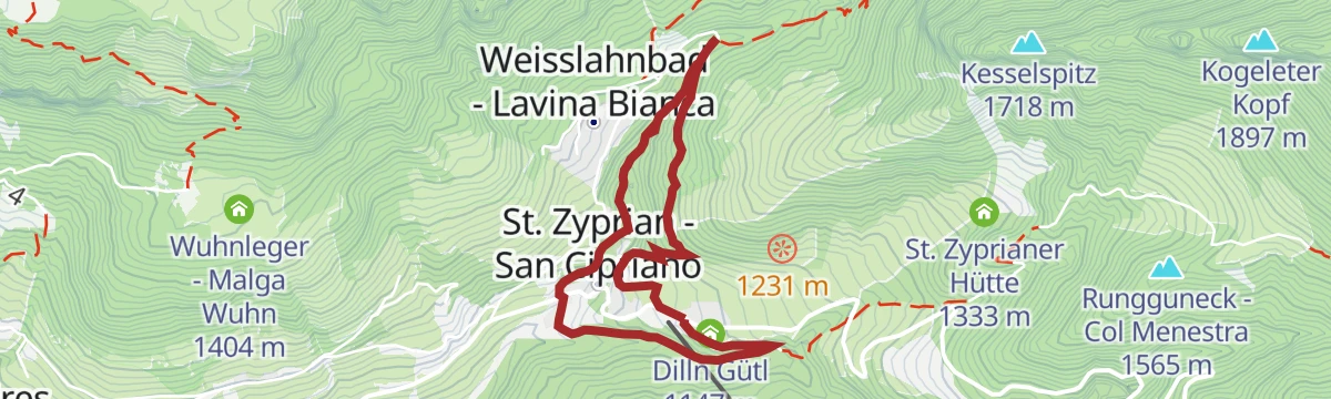
Percorso naturalistico "Bosco & Acqua"
A themed family walk near Tires with twenty stops on woodland and water, most of them things to handle.
Planning a trip to Tires/Tiers?
Everything else Trentino-Alto Adige/Südtirol has, in one place


Take Tires/Tiers with you into the mountains
Every route on this page with 3D terrain, GPX navigation and offline maps — including the valleys with no signal.
Data sources
- Official website: carezza.it ↗
- Routes and highlights: Sterzing, Pfitsch und Freienfeld, Seis am Schlern, YesAlps, Italia.it, APT Val di Fassa
- Published as open data by the tourist boards named above.
- Region summary generated from the board's own material.
