


















Curated by APT Fiemme Cembra
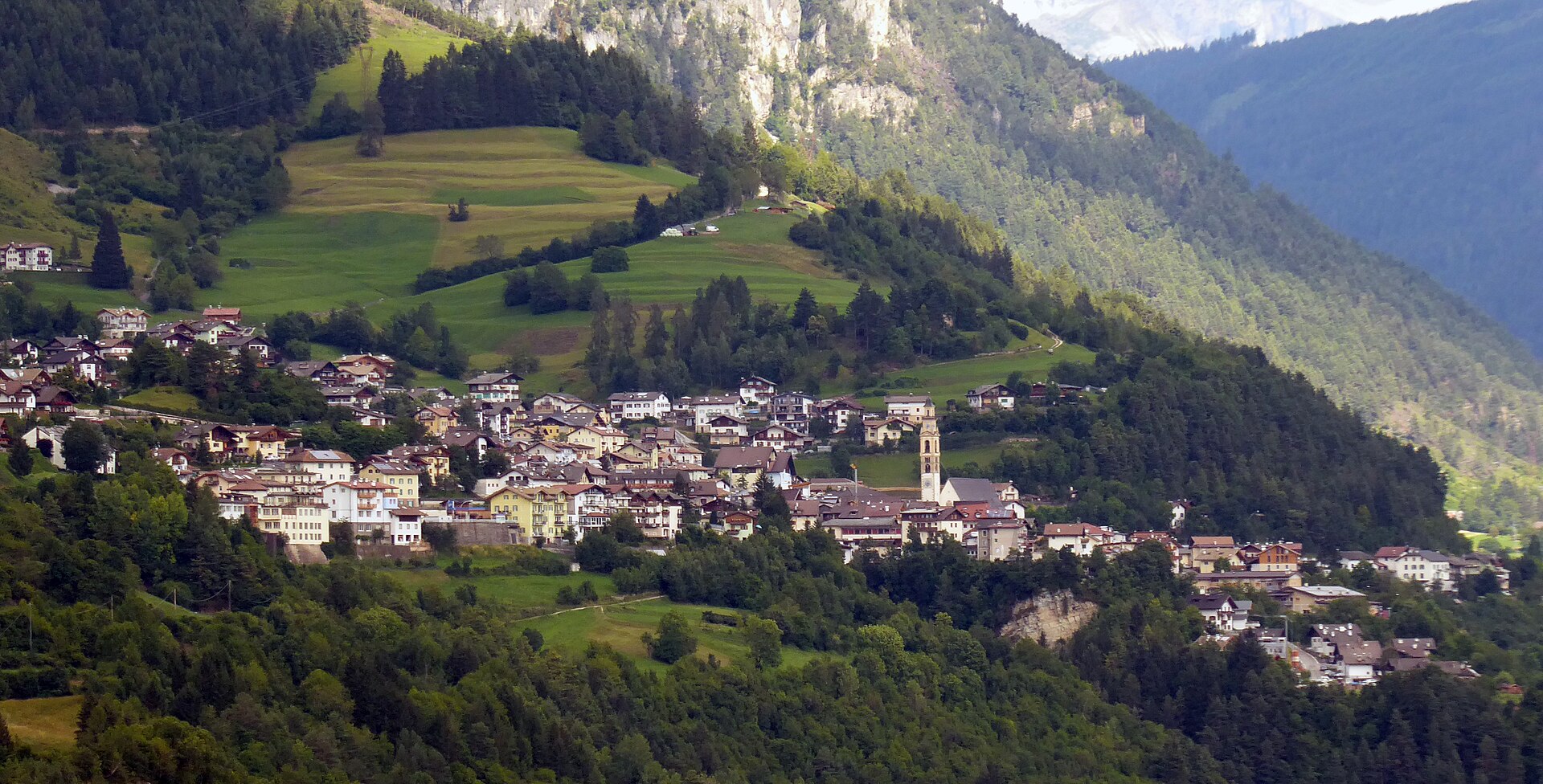
Tesero
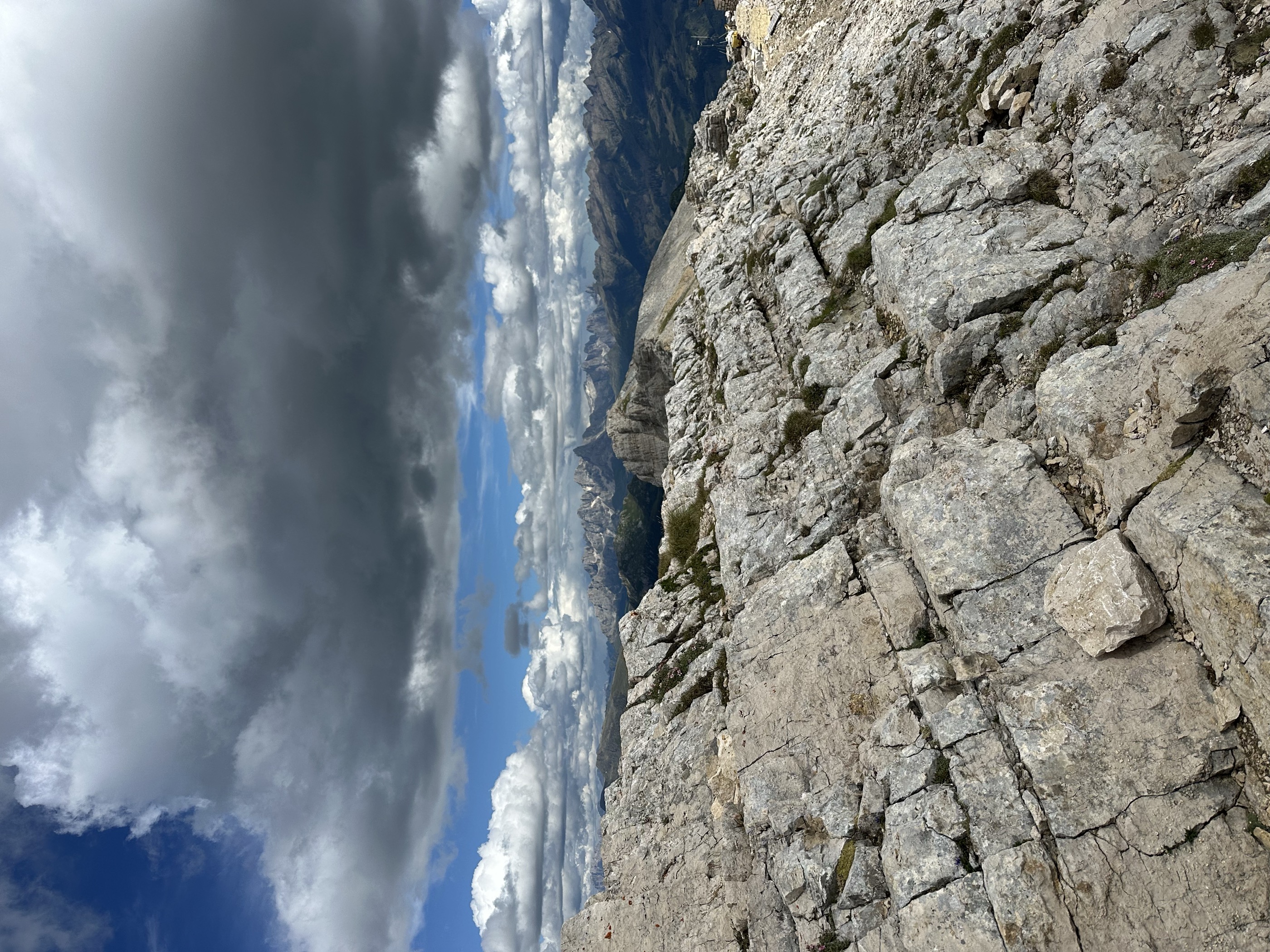
A Val di Fiemme village of painted facades on the Avisio, with the Lago di Tesero cross-country stadium.
Photo: Syrio · CC BY-SA 4.0 licence
- 11Highlights
- 56Routes
- Featured summit · Cima Valbona
Highlights
All 11 from neighbouring places
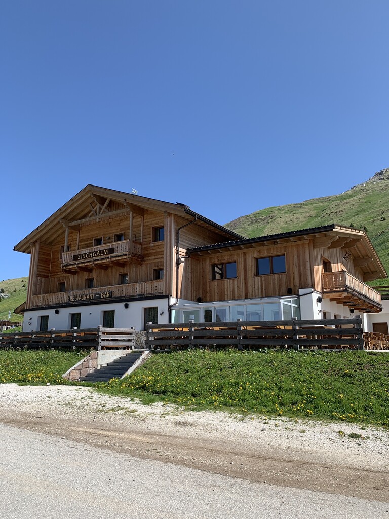
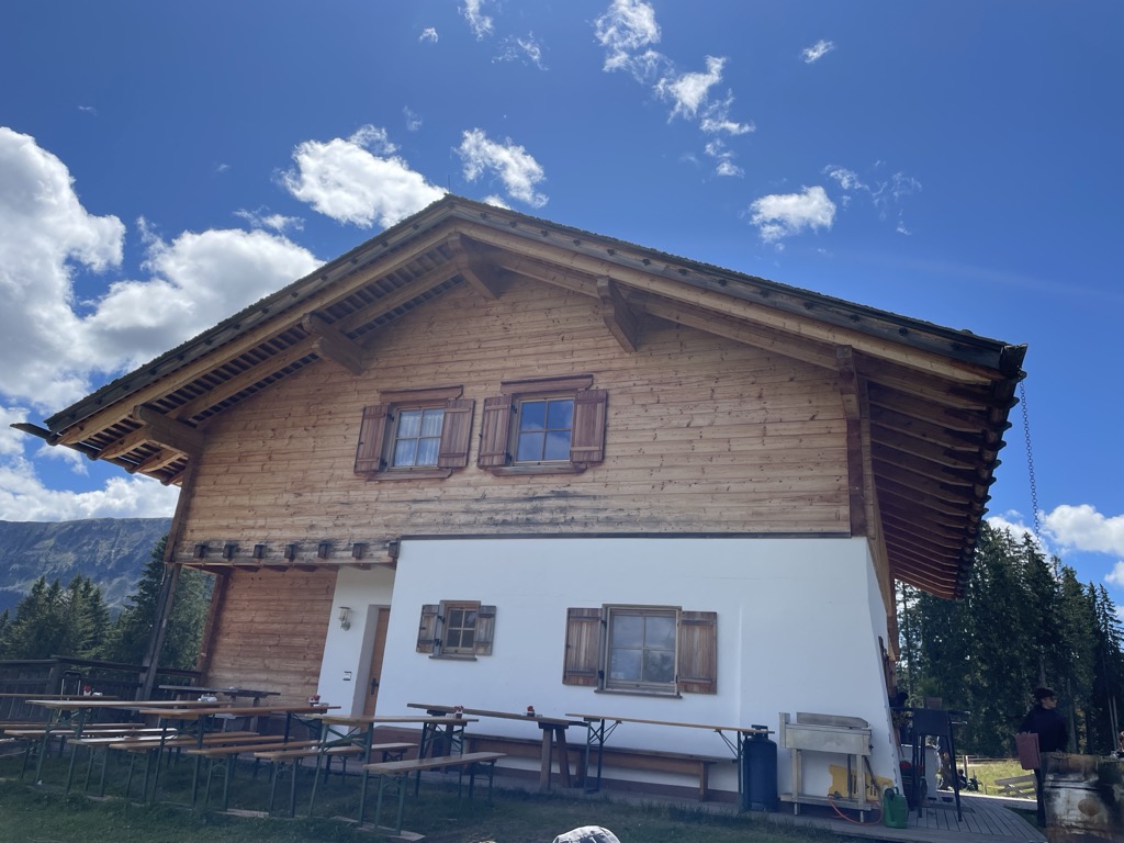
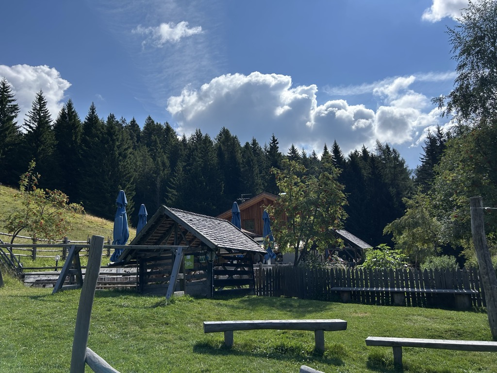
Malga Zischgalm
8.6 km away, in Nova Ponente/Deutschnofen
A pasture hut above Nova Ponente, reached on foot from the Obereggen side of the Val d'Ega.
Baita Gardoné – The Mountain Riviera
8.6 km away, in Predazzo
A baita on the Gardonè shelf above Predazzo, at the foot of the Latemar and reached by the cable car from the valley.
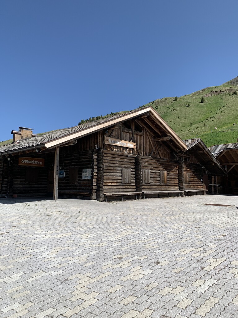
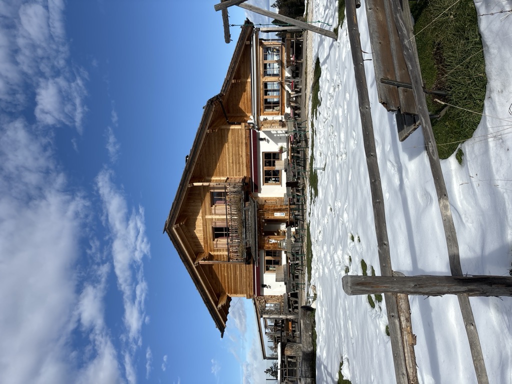
Malga Ganischger – The Mountain Party
8.8 km away, in Nova Ponente/Deutschnofen
A dairy hut on the pastures above Nova Ponente, near Obereggen at the foot of the Latemar.
Malga Valmaggiore
9.9 km away, in Predazzo
A dairy hut at the head of the Val Travignolo above Predazzo, a base for the walks and climbs on the Lagorai side.
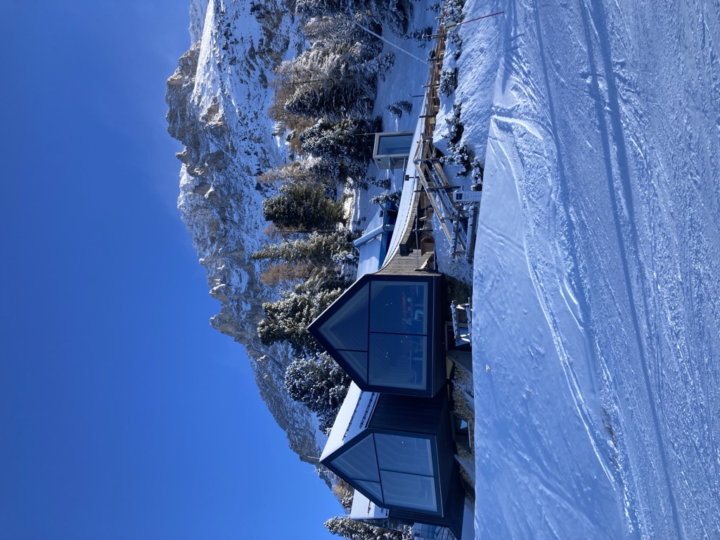
Rifugio Oberholz
10.9 km away, in Nova Ponente/Deutschnofen
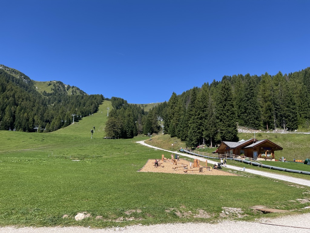
A timber-and-glass mountain hut above Obereggen, at the top of the chairlift below the Latemar, in the comune of Nova Ponente.
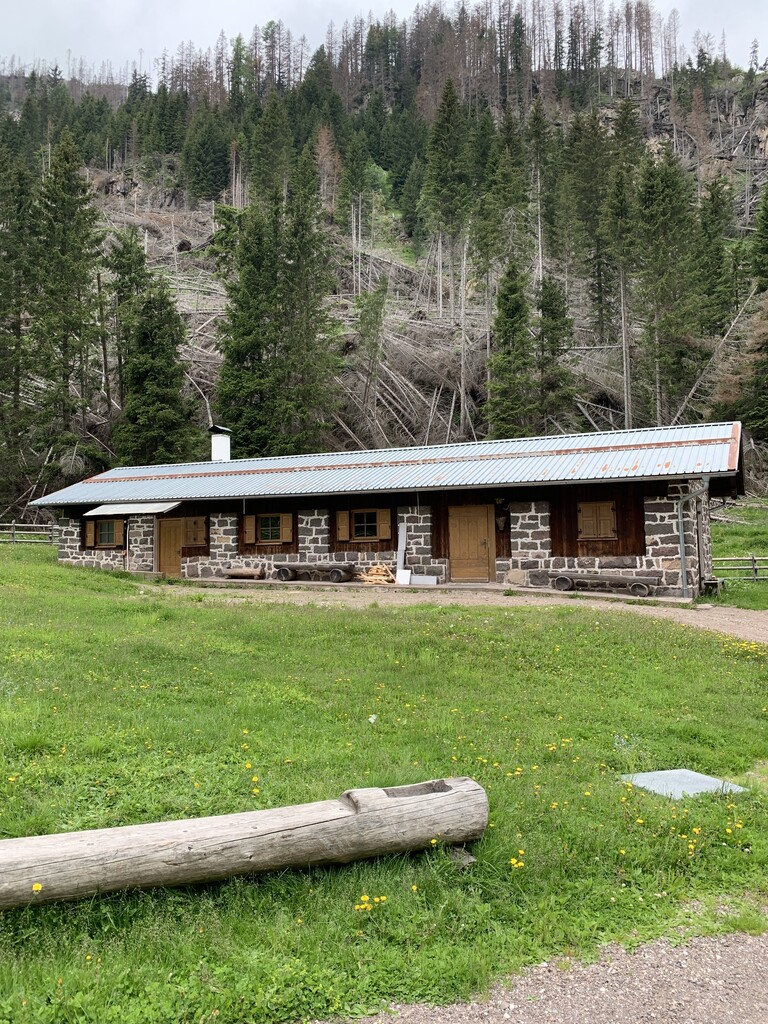
Malga Costa
11.2 km away, in Nova Ponente/Deutschnofen
A dairy hut on the Costa pastures above Nova Ponente, in the Val d'Ega below the Latemar.
Sterzing, Pfitsch und FreienfeldMalga Laab
14.2 km away, in Nova Ponente/Deutschnofen
A working dairy on the Laab pastures above Nova Ponente, in the woods and meadows of the Val d'Ega.
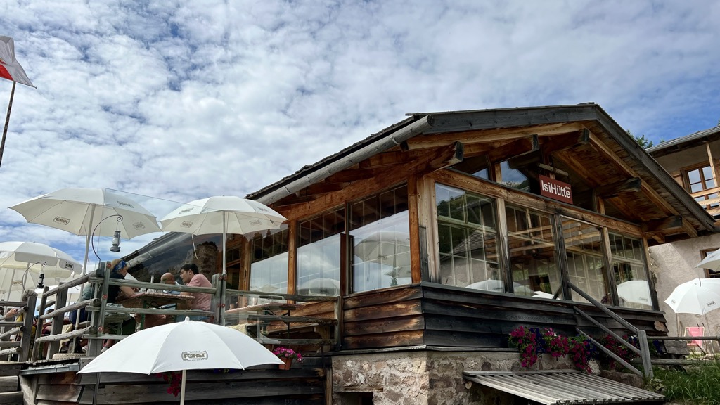
Malga ISI
9.9 km away, in Aldino/Aldein
A dairy hut turned mountain restaurant above Aldino, on the Regglberg pastures below the Corno Bianco.
Malga Ristoro Isi
9.9 km away, in Aldino/Aldein
A pasture restaurant above Aldino, in the meadows of the Regglberg plateau below the Corno Bianco, near the Passo Oclini road.
Sterzing, Pfitsch und FreienfeldMalga Lahner
13.4 km away, in Aldino/Aldein
A dairy hut on the Lahner pastures above Aldino, reached by the forest road that climbs from the village toward the Corno Bianco.
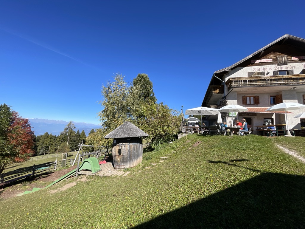
Albergo Schmiederalm
14.7 km away, in Aldino/Aldein
A pasture inn above Aldino, on the high Regglberg plateau between the Bletterbach gorge and the road to the Passo Oclini.
Nothing of this kind in Tesero.
Routes
50 routes, an even mix of activities · see the rest on visitfiemme.it ↗
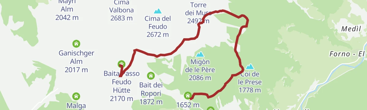
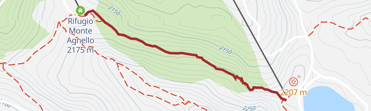
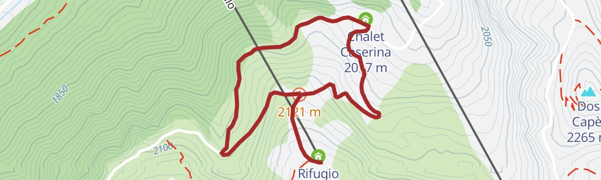
Latemar Discover Tour
Three linked themed trails below the Latemar, inside the Dolomites World Heritage area.
- 4.1 km
- Distance
- 132 m
- Ascent
- 1 h 26 min
- Duration
- 185
- Check-ins
 Baita Passo Feudo Hütte 2 170 m
- Baita della Scofa 2 006 m
- Rifugio Monte Agnello 2 175 m
- In.Treska 2 204 m
 Passo Feudo - Satteljoch 2 118 m
 Bacino Artificiale Buse de Tresca 2 197 m
Open route APT Fiemme CembraStroller walk in Pampeago
A pushchair-friendly walk at Pampeago below the Latemar, high enough for long views over the Fiemme valley.
- 9.3 km
- Distance
- 351 m
- Ascent
- 3 h 2 min
- Duration
- 237
- Check-ins
- Baita della Scofa 2 006 m
- Zischgalm 2 010 m
- Ganischger Alm 2 017 m
- Reiterjoch - Passo di Pampeago 1 983 m
- Ski Bar 1 761 m
- Sport Hotel Pampeago 1 758 m
- +2
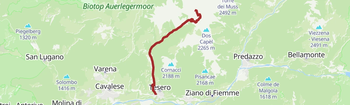
Open route APT Fiemme CembraThe firebreak trails and the Astronomical Observatory - Tour 936
A long route on the firebreak roads cut through the woods behind the Fiemme villages, passing the observatory and its telescope near Tesero.
- 27.5 km
- Distance
- 786 m
- Ascent
- 8 h 23 min
- Duration
- 36
- Check-ins
- Bistrot & Shop - Caseificio Sociale Predazzo e Moena 987 m
- CRM 1 001 m
- Casa di riposo "Giovanelli" 1 028 m
- Maso Tofol 1 204 m
- Agritur Zanon 1 170 m
- Agritur Maso Valaverta 1 005 m
Open route APT Fiemme CembraRun 4: Predazzo - Cross Country Stadium.
A there-and-back running route from Predazzo to the cross-country stadium, gently downhill on the way out and steadily rising on the return.
- 17.4 km
- Distance
- 140 m
- Ascent
- 1 h 40 min
- Duration
- 29
- Check-ins
Open route APT Fiemme CembraEasy Bike Ring – yellow
A short family loop from Tesero down to the Avisio, along the Fiemme cycle path to Masi di Cavalese and back by Maso Chemela.
- 9.8 km
- Distance
- 189 m
- Ascent
- 1 h 3 min
- Duration
- 1
- Check-ins
Open route APT Fiemme CembraPozza di Fassa - Tesero - Pampeago Pass - Ponte Nova - Costalunga/Carezza Pass - Pozza di Fassa
A road loop south to Tesero, then the hard climb to Pampeago and back over the Passo di Costalunga by the Karer See.
- 72.7 km
- Distance
- 2 083 m
- Ascent
- 8 h 25 min
- Duration
- 857
- Check-ins
- Karer See - Lago di Carezza 1 533 m
- Passo di Costalunga - Karerpass 1 745 m
- Bar & Imbiss Kareesee 1 559 m
- Antermont 1 759 m
- Baita della Scofa 2 006 m
- Zischgalm 2 010 m
- +31
Open route APT Val di FassaGeotrail Dos Capèl – Dolomites, what a discovery!
A themed walk with 19 stations to see, touch and hear, on the botany and geology of the Latemar; an easy-to-read guide covers the route.
- 5.4 km
- Distance
- 228 m
- Ascent
- 1 h 51 min
- Duration
- 124
- Check-ins
 Dos Capèl 2 265 m
- Baita Passo Feudo Hütte 2 170 m
- In.Treska 2 204 m
- Passo Feudo - Satteljoch 2 118 m
- Bacino Artificiale Buse de Tresca 2 197 m
Open route APT Fiemme CembraTorre di Pisa mountain hut
A climb into the Latemar, a fossil atoll off a tropical sea where ammonites and shells sit in the rock, to the hut below the Torre di Pisa.
- 9.0 km
- Distance
- 828 m
- Ascent
- 5 h 11 min
- Duration
- 210
- Check-ins
- Cima Valbona 2 683 m
- Baita Passo Feudo Hütte 2 170 m
- Rifugio Torre di Pisa 2 671 m
- Gamsstallscharte - Forcella dei Camosci 2 632 m
Open route APT Fiemme CembraEasy Bike Ring – black
A short ring from the square at Panchià through its old centre and on by a panoramic lane to Tesero.
- 10.9 km
- Distance
- 155 m
- Ascent
- 1 h 7 min
- Duration
Open route APT Fiemme CembraLatemar Tour
A long road circuit of the Latemar, over the Passo di Costalunga past the Lago di Carezza and back across the Passo di Lavazè.
- 74.4 km
- Distance
- 2 039 m
- Ascent
- 8 h 31 min
- Duration
- 603
- Check-ins
- Karer See - Lago di Carezza 1 533 m
- Passo di Costalunga - Karerpass 1 745 m
- Bar & Imbiss Kareesee 1 559 m
- Antermont 1 759 m
- Passo di Lavazè 1 807 m
- GolfHotel 1 754 m
- +24
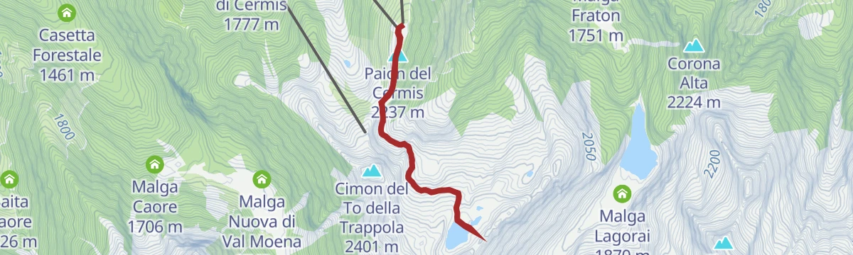
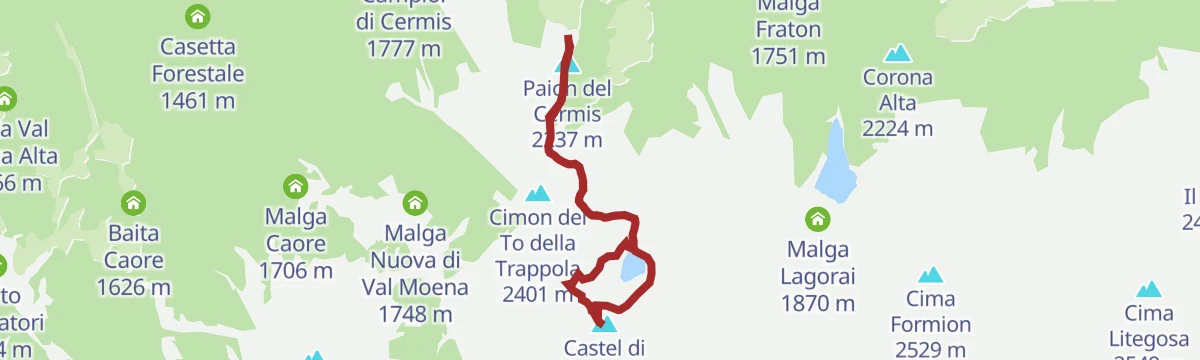
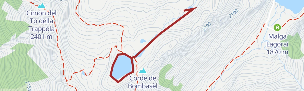
Open route APT Fiemme CembraBombasel Lakes with baby carrier
A carrier-friendly walk from the top of the Cermis lifts above Cavalese to the Bombasel lakes, set among the dark rocks of the Lagorai.
- 4.8 km
- Distance
- 201 m
- Ascent
- 1 h 37 min
- Duration
- 83
- Check-ins
- Paion del Cermis 2 237 m
- Corde de Bombasèl 2 319 m
- Rifugio Paion del Cermis 2 229 m
- Forcella di Bombasel 2 176 m
- Lo Chalet 2 179 m
- Laghi di Bombasel 2 268 m
Open route APT Fiemme CembraValsorda Tour
A demanding round in the Latemar, up the Torre di Pisa path and across the plateau, then down the wild Valsorda to Forno di Moena and back by the cycle path.
- 14.7 km
- Distance
- 510 m
- Ascent
- 6 h 21 min
- Duration
- 201
- Check-ins
- Cima Valbona 2 683 m
- Baita Passo Feudo Hütte 2 170 m
- Rifugio Torre di Pisa 2 671 m
- Biotrota Dolomiti 1 056 m
- Bivacco Latemar Attilio Sieff 2 306 m
- Malga Valsorda 1 684 m
- +1
Open route APT Fiemme CembraGravel Tour - Latemar and Lake Carezza
A gravel loop from Predazzo over the Reiterjoch and on to the Passo di Costalunga, passing Ganischger Alm and the fir-ringed lake below the Latemar.
- 57.1 km
- Distance
- 1 597 m
- Ascent
- 6 h 34 min
- Duration
- 526
- Check-ins
- Passo di Costalunga - Karerpass 1 745 m
- Antermont 1 759 m
- Baita della Scofa 2 006 m
- Zischgalm 2 010 m
- Ganischger Alm 2 017 m
- GolfHotel 1 754 m
- +18
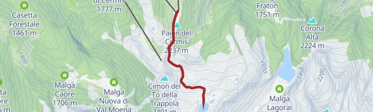
Open route APT Fiemme CembraBombasel Lakes
An easy walk at around 2,000 m on the Alpe Cermis to the Bombasel lakes, the height gained by lift, with one short cable-assisted step.
- 4.4 km
- Distance
- 171 m
- Ascent
- 1 h 28 min
- Duration
- 71
- Check-ins
- Paion del Cermis 2 237 m
- Rifugio Paion del Cermis 2 229 m
- Forcella di Bombasel 2 176 m
- Lo Chalet 2 179 m
Open route APT Fiemme CembraFrom Passo Feudo to Gardonè
A long, mostly downhill walk over pasture and through wood off the usual circuits, past the bare Baito dei Sugadoi shelter, facing the Lagorai on one side and the Pale di San Martino on the other.
- 7.3 km
- Distance
- 148 m
- Ascent
- 2 h 34 min
- Duration
- 111
- Check-ins
- Baita Passo Feudo Hütte 2 170 m
- Baita Gardoné The Mountain Riviera 1 649 m
- Passo Feudo - Satteljoch 2 118 m
Open route APT Fiemme CembraTour Pampeago - Passo Lavazè
Two hard road climbs in one loop out of Tesero, topping out at the Reiterjoch at 1,983 m and again on the Lavazè plateau.
- 40.3 km
- Distance
- 1 580 m
- Ascent
- 5 h 4 min
- Duration
- 343
- Check-ins
- Baita della Scofa 2 006 m
- Zischgalm 2 010 m
- Passo di Lavazè 1 807 m
- Ganischger Alm 2 017 m
- Reiterjoch - Passo di Pampeago 1 983 m
- Ski Bar 1 761 m
- +14
Open route APT Fiemme CembraLatemar.Meteo
A short trail with panels on mountain weather: how the sun drives it, and how thunderstorms, lightning and avalanches take shape.
- 1.8 km
- Distance
- 76 m
- Ascent
- 36 min
- Duration
- 42
- Check-ins
Open route APT Fiemme CembraCermiSkyline
A ridge route on the Alpe Cermis up the Castel di Bombasel, the exposed Vertigo section avoidable by easier variants, above the Bombasel lakes.
- 6.8 km
- Distance
- 458 m
- Ascent
- 3 h 4 min
- Duration
- 90
- Check-ins
- Paion del Cermis 2 237 m
- Corde de Bombasèl 2 319 m
- Rifugio Paion del Cermis 2 229 m
- Forcella di Bombasel 2 176 m
- Lo Chalet 2 179 m
- Forcella del Macaco 2 278 m
- +1
Open route APT Fiemme CembraFiemme and Fassa Dolomites cycle route
A surfaced valley cycle path linking the Val di Fiemme with the Val di Fassa, running up to Canazei with a summer bike shuttle.
- 47.4 km
- Distance
- 710 m
- Ascent
- 4 h 38 min
- Duration
- 281
- Check-ins
- Baita Al Parco 1 438 m
- Azienda Turistica 1 307 m
- Park Hotel Faloria 1 453 m
- Ufficio Turistico APT Fassa 1 374 m
- Baita Ischia 1 412 m
- Bici Grill Moena 1 147 m
- +7
Open route APT Fiemme CembraLatemar.Respirart, union between art and nature
A short walk through an open-air art park where land-art works made from natural materials are added each summer and left to weather away.
- 2.5 km
- Distance
- 158 m
- Ascent
- 1 h 6 min
- Duration
- 34
- Check-ins
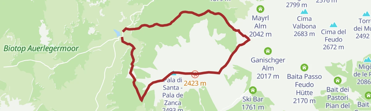
Open route APT Fiemme CembraPala di Santa: a tour between Lavazè and Pampeago
From the open Lavaze plateau through fir and pine to a broad ridge of volcanic rock and sheep pasture, up to the summit cross, then down the pistes to Pampeago.
- 10.6 km
- Distance
- 772 m
- Ascent
- 5 h 5 min
- Duration
- 79
- Check-ins
- Pala di Santa - Pala de Zanca 2 493 m
- Passo di Lavazè 1 807 m
- Reiterjoch - Passo di Pampeago 1 983 m
Open route APT Fiemme CembraDolomites Cycle & Footpath in the Fiemme and Fassa Valleys
A nearly level path for bikes and walkers between the Fiemme and Fassa valleys, through meadow, forest and village.
- 49.1 km
- Distance
- 27 m
- Ascent
- 4 h 37 min
- Duration
- 244
- Check-ins
- Baita Al Parco 1 438 m
- Azienda Turistica 1 307 m
- Park Hotel Faloria 1 453 m
- Bici Grill Moena 1 147 m
- Pensione Villa Paola 1 484 m
- Maso Rosè 1 249 m
- +6
Open route APT Val di FassaLago Bombasel C8
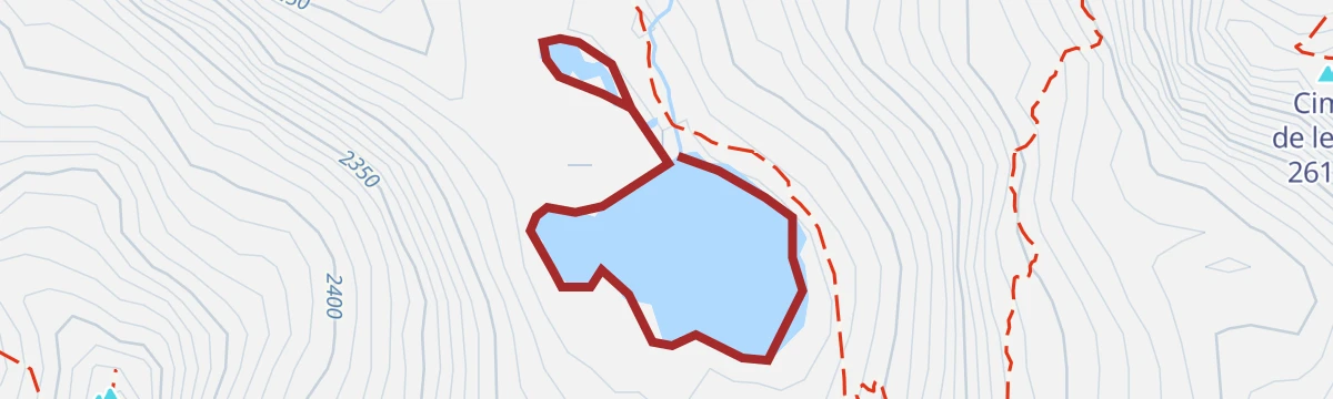
A short level walk at the Bombasel lakes, high in the granite of the Lagorai above Tesero.
- 1.5 km
- Distance
- 16 m
- Ascent
- 27 min
- Duration
- 19
- Check-ins
Open route Trentino FishingTranslagorai - Stage 2
The second stage of the Translagorai, crossing the granite crest of the Lagorai by way of the Cimon di Lasteolo.
- 12.2 km
- Distance
- 525 m
- Ascent
- 5 h 28 min
- Duration
- 63
- Check-ins
- Cimon di Lasteolo 2 560 m
- Rifugio Baita Monte Cauriol 1 600 m
- Baita dell'Alpino - gruppo ANA Ziano 1 594 m
- Passo Sadole 2 066 m
- Agritur Malga Sadole 1 602 m
- Baita dell'Alpino 1 594 m
- +5
Open route APT Fiemme CembraClimbs Giro d'Italia - P.so Pampeago
A road climb out of Tesero up to the pass above Pampeago, with over 1,000 m of ascent in barely 10 km past the Zischgalm.
- 10.6 km
- Distance
- 1 018 m
- Ascent
- 1 h 40 min
- Duration
- 179
- Check-ins
- Baita della Scofa 2 006 m
- Zischgalm 2 010 m
- Ganischger Alm 2 017 m
- Ski Bar 1 761 m
- Sport Hotel Pampeago 1 758 m
- Hotel Erica 1 224 m
- +2
Open route APT Fiemme CembraLago di Bombasel D
A brief walk around one of the Bombasel lakes, in a granite basin high above the Fiemme valley.
- 1.6 km
- Distance
- 21 m
- Ascent
- 25 min
- Duration
- 19
- Check-ins
Open route Trentino FishingRio Stava C
A level route beside the Rio Stava above Tesero, in the woods on the Lagorai side of the valley.
- 9.1 km
- Distance
- 0 m
- Ascent
- 3 h 5 min
- Duration
- 59
- Check-ins
- Ski Bar 1 761 m
- Sport Hotel Pampeago 1 758 m
- Hotel Lo Scoiattolo 1 734 m
- Casa di riposo "Giovanelli" 1 028 m
Open route Trentino FishingPasso Pampeago
A steep road ascent from Tesero, climbing past the Sport Hotel Pampeago and the Baita della Scofa to the pass at the top.
- 10.4 km
- Distance
- 1 034 m
- Ascent
- 1 h 42 min
- Duration
- 143
- Check-ins
- Baita della Scofa 2 006 m
- Zischgalm 2 010 m
- Ski Bar 1 761 m
- Sport Hotel Pampeago 1 758 m
- Hotel Erica 1 224 m
- Hotel Lo Scoiattolo 1 734 m
- +1
Open route VisitTrentinoTorrente Avisio A - Panchià
An easy walk along the Avisio between Tesero and Panchià, on the floor of the Fiemme valley.
- 4.7 km
- Distance
- 56 m
- Ascent
- 1 h 11 min
- Duration
- 6
- Check-ins
Open route Trentino FishingRio Stava E8
An almost flat route following the Rio Stava through the woods above Tesero.
- 9.4 km
- Distance
- 0 m
- Ascent
- 3 h 15 min
- Duration
- 54
- Check-ins
Open route Trentino FishingSantuario di Pietralba
A big road day from the Fiemme valley over the Passo di Lavazè and the Passo di Pramadiccio to the sanctuary above Aldino.
- 59.4 km
- Distance
- 1 701 m
- Ascent
- 6 h 53 min
- Duration
- 93
- Check-ins
- Passo di Lavazè 1 807 m
- Cappella della Beata Vergine del Rosario della nuova Pompei 985 m
- Hotel Erica 1 224 m
- Al Ponte - Brückenwirt 764 m
- Lago di Lavazè 1 805 m
- Passo di Pramadiccio 1 431 m
- +10
Open route APT Fiemme CembraTorrente Avisio A - Tesero
A level route along the Avisio between Cavalese and Tesero, following the river across the floor of the Val di Fiemme.
- 6.5 km
- Distance
- 67 m
- Ascent
- 1 h 38 min
- Duration
- 6
- Check-ins
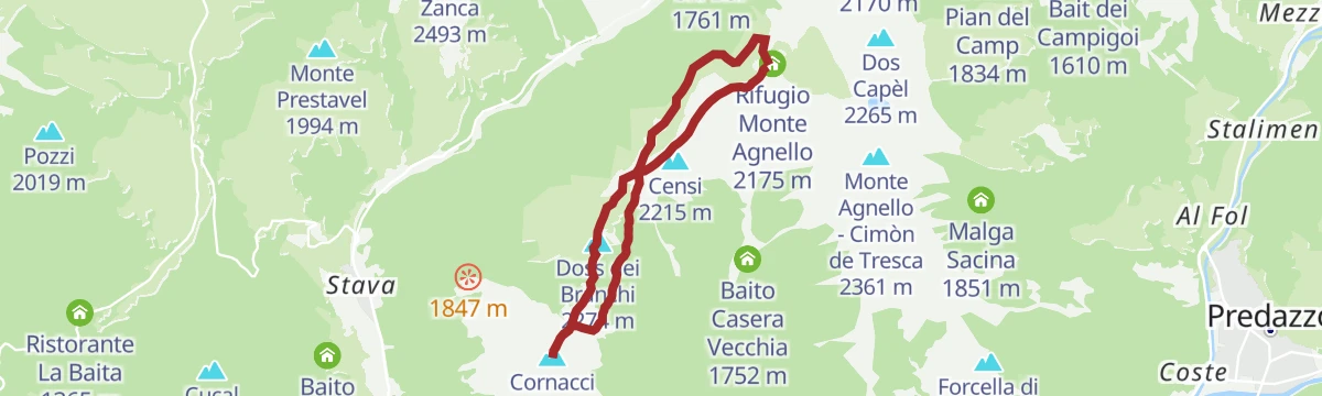
Open route Trentino FishingTour of Monte Cornon
A walk through pasture and huts to the southern top of Cornacci, marked by the large cross seen from the valley floor, with a photo panel naming the peaks around.
- 7.6 km
- Distance
- 381 m
- Ascent
- 2 h 48 min
- Duration
- 37
- Check-ins
Open route APT Fiemme CembraGravel Tour - Val di Fiemme
A gravel loop touching most villages of the valley, over the Passo di San Lugano and back to Predazzo on the cycle path beside the Avisio.
- 52.4 km
- Distance
- 1 021 m
- Ascent
- 5 h 37 min
- Duration
- 57
- Check-ins
- Bistrot & Shop - Caseificio Sociale Predazzo e Moena 987 m
- CRM 1 001 m
- Passo di San Lugano - San-Lugano-Sattel 1 097 m
- Antonio Longo 1 104 m
- Hotel Erica 1 224 m
- Hotel Ganzaie 1 332 m
- +4
Open route APT Fiemme CembraLaghetti del Lagorai F
A very short walk at the small Lagorai lakes, in the high basins above Tesero.
- 985 m
- Distance
- 0 m
- Ascent
- 14 min
- Duration
- 1
- Check-ins
Open route Trentino FishingRafting Val di Fiemme
A route along the Avisio through the Fiemme valley, the stretch of river used by the local rafting outfits.
- 10.3 km
- Distance
- 14 m
- Ascent
- 2 h 33 min
- Duration
- 10
- Check-ins
Open route APT Fiemme CembraCembra Valley - Pinè Plateau
A hundred-kilometre road tour out of Ziano di Fiemme, crossing to the Piné plateau and returning down the Cembra valley.
- 100.3 km
- Distance
- 2 000 m
- Ascent
- 10 h 47 min
- Duration
- 53
- Check-ins
- Dolomiti Energia 1 026 m
- Misconel Srl 894 m
- APT Piné 974 m
- Capanna 939 m
- Hotel Lagorai Alpine Resort & Spa 1 012 m
- Antico Mas del Medico 854 m
- +14
Open route APT Fiemme CembraRio Bianco E6
A flat walk along the Rio Bianco above Tesero, on the wooded side of the Fiemme valley.
- 5.5 km
- Distance
- 32 m
- Ascent
- 2 h 57 min
- Duration
- 1
- Check-ins
Open route Trentino FishingNordic Ski WC Fiemme 2013 Tour
A flat valley cycle path tour from the cross-country stadium at Lago di Tesero up to Predazzo and back through Panchià.
- 20.7 km
- Distance
- 168 m
- Ascent
- 1 h 59 min
- Duration
- 43
- Check-ins
- Bistrot & Shop - Caseificio Sociale Predazzo e Moena 987 m
- CRM 1 001 m
- Centrale di Teleriscaldamento di Predazzo 1 003 m
- Ufficio Informazioni Fiemme Predazzo 1 016 m
- Mas del Cialdo 980 m
- Agritur Maso Valaverta 1 005 m
Open route APT Fiemme CembraLago Lagorai
A short walk at the Lagorai lake, in the granite high ground above Tesero.
- 1.5 km
- Distance
- 55 m
- Ascent
- 30 min
- Duration
Open route Trentino FishingMount Horn Nature Park
A long road tour from Ziano di Fiemme over to the Trudner Horn nature park, returning up the Fiemme valley past the Vecchia Stazione.
- 50.7 km
- Distance
- 755 m
- Ascent
- 5 h 12 min
- Duration
- 29
- Check-ins
- Misconel Srl 894 m
- Ristorante Bar Vecchia Stazione 1 010 m
- Capanna 939 m
- Hotel Lagorai Alpine Resort & Spa 1 012 m
- Hotel Waldheim 1 219 m
- Antico Mas del Medico 854 m
- +4
Open route APT Fiemme CembraLago Sute C6
A very short walk at the Sute lake, one of the small basins in the Lagorai above Tesero.
- 725 m
- Distance
- 14 m
- Ascent
- 12 min
- Duration
Open route Trentino FishingGravel route - Solombo and Waterfall
A gravel route above the Avisio by the Malga Arodolo, taking in the Cavalese waterfall before the last climb.
- 48.3 km
- Distance
- 1 050 m
- Ascent
- 5 h 17 min
- Duration
- 8
- Check-ins
- Ristorante Pizzeria Pineta 861 m
- Hotel Ganzaie 1 332 m
- Residence Volperossa 1 129 m
- Agritur Malga Arodolo 1 217 m
- Maso Novelli 815 m
- Maso Toffa 1 058 m
- +2
Open route APT Fiemme CembraLago di Lagorai E
A brief circuit at the Lagorai lake, high in the granite above the Fiemme valley.
- 1.6 km
- Distance
- 31 m
- Ascent
- 27 min
- Duration
Open route Trentino FishingFiemme cycle route
A near-level valley cycle path along the Avisio between Predazzo and Molina di Fiemme, running through village centres and shaded woodland.
- 20.0 km
- Distance
- 70 m
- Ascent
- 1 h 55 min
- Duration
- 1
- Check-ins
Open route APT Fiemme CembraLago di Tesero PS
A few hundred metres at the Tesero lake, on the valley floor beside the village.
- 361 m
- Distance
- 0 m
- Ascent
- 5 min
- Duration
Rio Bianco C
A flat streamside walk along the Rio Bianco in the woods near Tesero.
- 3.3 km
- Distance
- 26 m
- Ascent
- 1 h 41 min
- Duration
Open route Trentino FishingRio Bianco G
A level walk on the bank of the Rio Bianco above Tesero in the Fiemme valley.
- 4.3 km
- Distance
- 32 m
- Ascent
- 2 h 29 min
- Duration
Open route Trentino FishingRio Lagorai B
A level route beside the Rio Lagorai, the stream draining the high lakes above Tesero.
- 6.5 km
- Distance
- 15 m
- Ascent
- 2 h 28 min
- Duration
Open route Trentino FishingRio Lagorai E7
An easy walk following the Rio Lagorai down from the high basins above Tesero.
- 6.8 km
- Distance
- 13 m
- Ascent
- 2 h 42 min
- Duration
Open route Trentino Fishing
No routes of this kind in Tesero yet.
The region's own picks
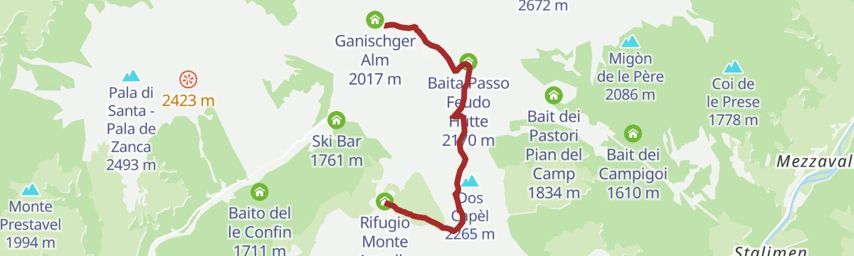
Featured route
Latemar Discover Tour
Three linked themed trails below the Latemar, inside the Dolomites World Heritage area.
Planning a trip to Tesero?
Everything else Trentino-Alto Adige/Südtirol has, in one place


Take Tesero with you into the mountains
Every route on this page with 3D terrain, GPX navigation and offline maps — including the valleys with no signal.
Data sources
- Official website: visitfiemme.it ↗
- Routes and highlights: APT Fiemme Cembra, Trentino Fishing, Sterzing, Pfitsch und Freienfeld, APT Val di Fassa, YesAlps, VisitTrentino, Visit Trentino
- Published as open data by the tourist boards named above.
- Region summary generated from the board's own material.
