Cermis (Alpe Cermis in italian) is a mountain of the Lagorai group in eastern Trentino, Italy in the comune of Cavalese.
Part of the Val di Fiemme-Obereggen, it is famous for its ski slopes.
It was the scene of major disasters involving the aerial tramway style cable car system on the mountain: the Cavalese cable car disaster in 1976, and the Cavalese cable car massacre in 1998; the latter occurred when a U.S. military plane, while flying too low against regulations, cut a cable supporting a gondola of an aerial tramway, killing 20 people. The two cable car runs of the system involved in those incidents have since been replaced by three consecutive multi-cabin gondola lifts. The arrival site of the first chair lift, from where the second starts, may be also reached by road.
There's a trail leading to the summit.
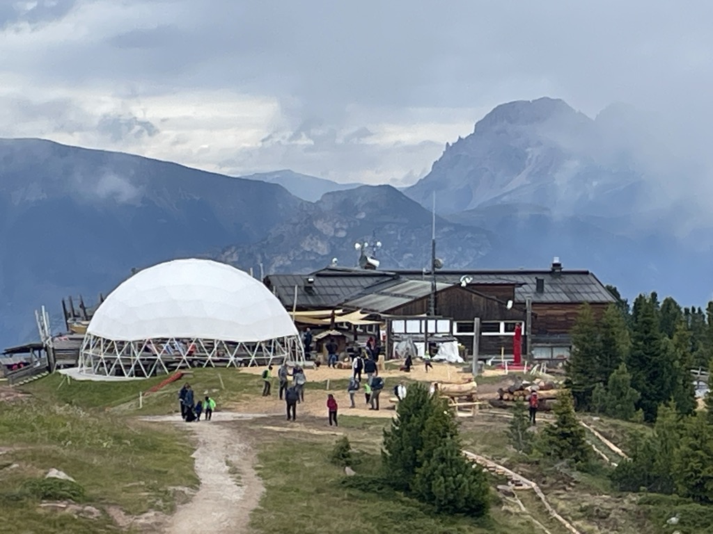
The nearest mountain hut is Rifugio Paion del Cermis located 233m/766ft NNE of the summit.
We use GPS information embedded into the photo when it is available.
3D mountains overlay
Adjust mountain panorama to perfectly match your photos because recorded by camera photo position might be imprecise.
Move tool
Rotate tool
Zoom
More customization
Choose which peak labels should make into the final photo and what photo title should be.
Next
Photo Location
Satellitte
Flat map
Relief map
Latitude
Longitude
Altitude
OR
Latitude
°'''
Longitude
°'''
Apply
Register Peak
Peak Name
Latitude
Longitude
Altitude
Register
Teleport
PeakVisor
This 3D model of Sagarmatha National Park in Nepal was made using the PeakVisor app topographic data. The mobile app features higher precision models worldwide, more topographic details, and works offline. Download PeakVisor maps today.
Download OBJ model
PeakVisor
The download should start shortly. If you find it useful please consider supporting the PeakVisor app.
PeakVisor for iOS and Android
Be a superhero of outdoor navigation with state-of-the-art 3D maps and mountain identification in the palm of your hand!