
 Historic site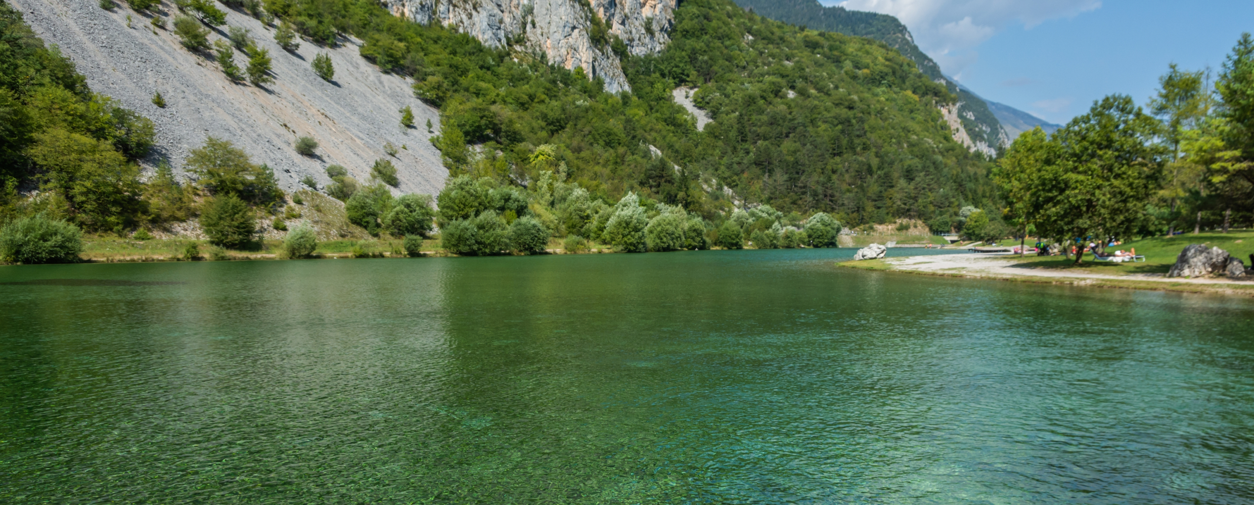






Curated by APT Dolomiti di Brenta e Paganella
Terre d'Adige
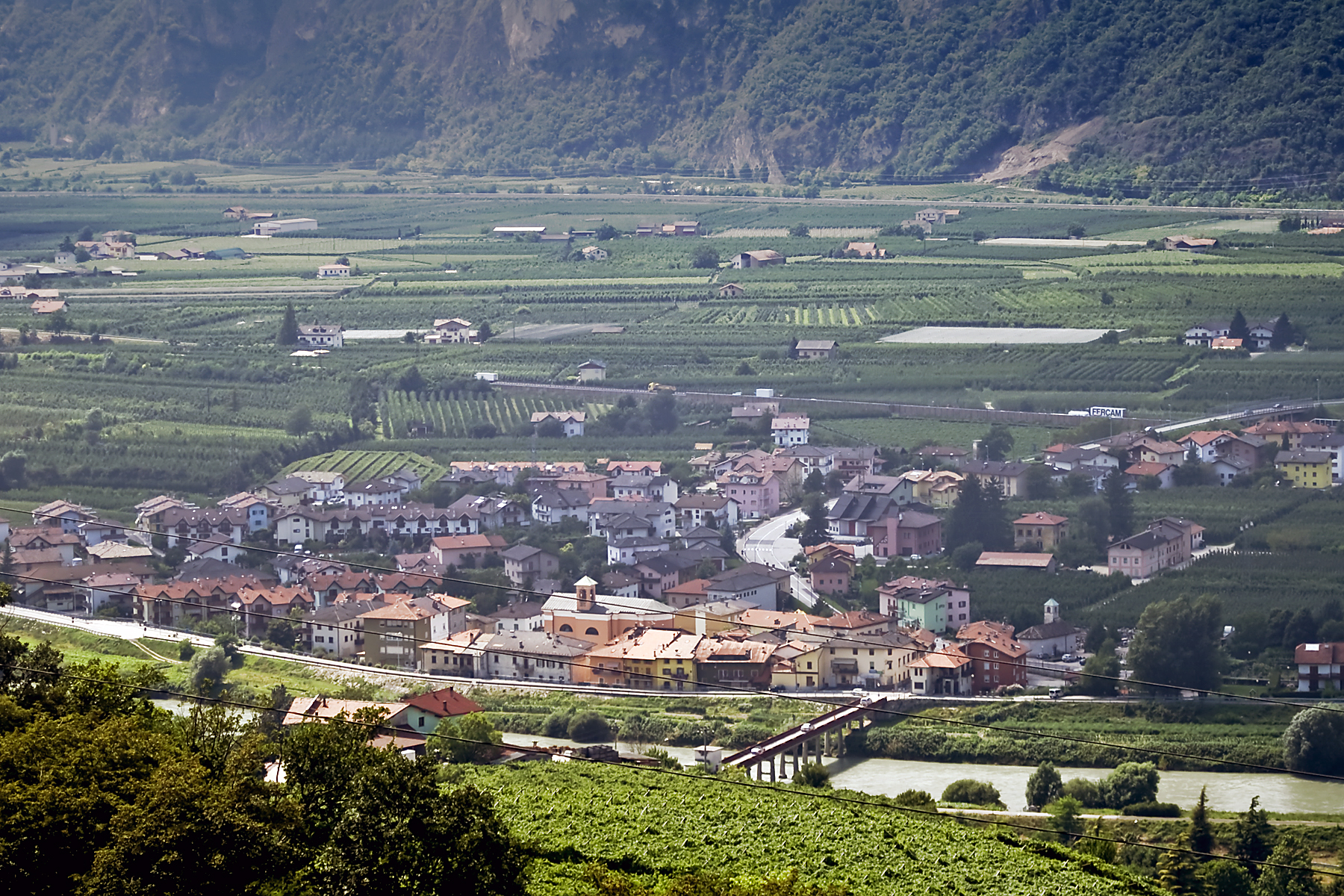
An Adige valley comune of Zambana and Nave San Rocco north of Trento, below the Paganella.
Photo: Pacifico · CC BY 3.0 licence
- 4Highlights
- 31Routes
- Featured summit · Paganella
Highlights
All 4 from neighbouring places
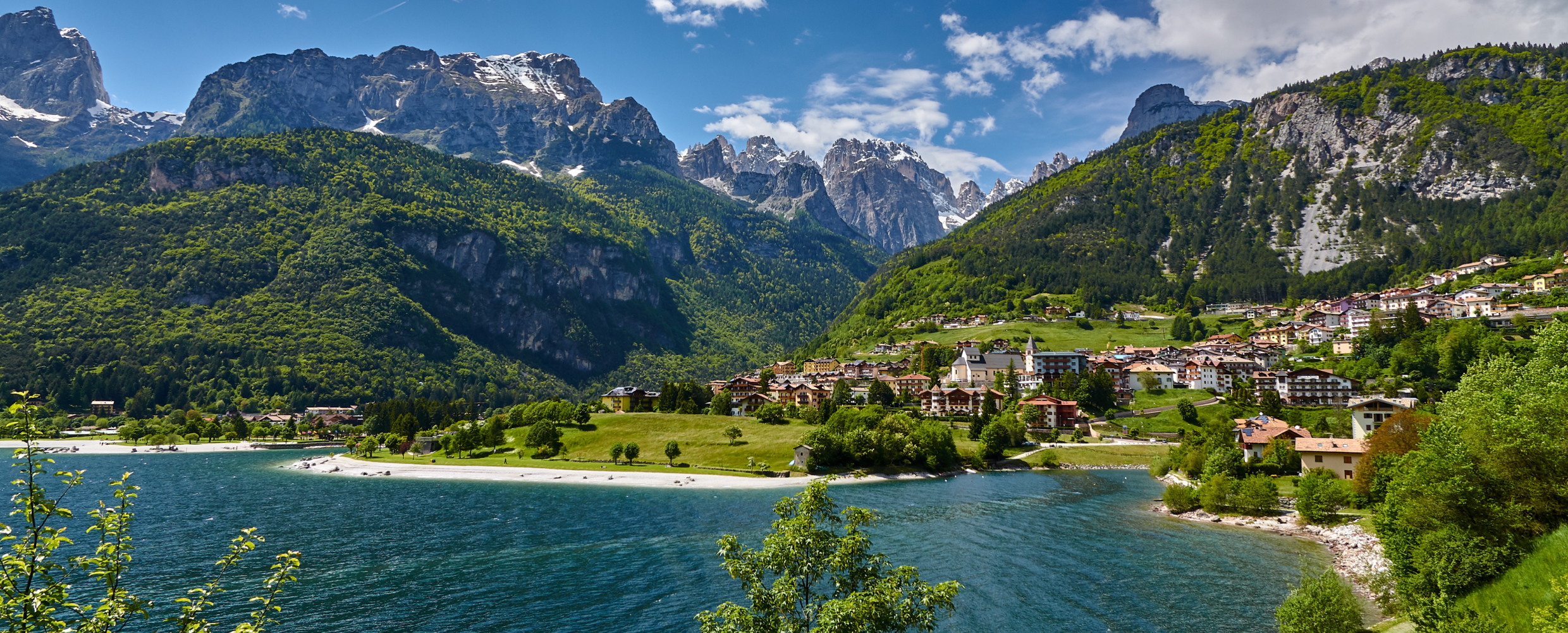
Lago di Molveno
9.8 km away, in Molveno
A lake at 864 m below the Brenta Dolomites, its water among the clearest in the Alps.
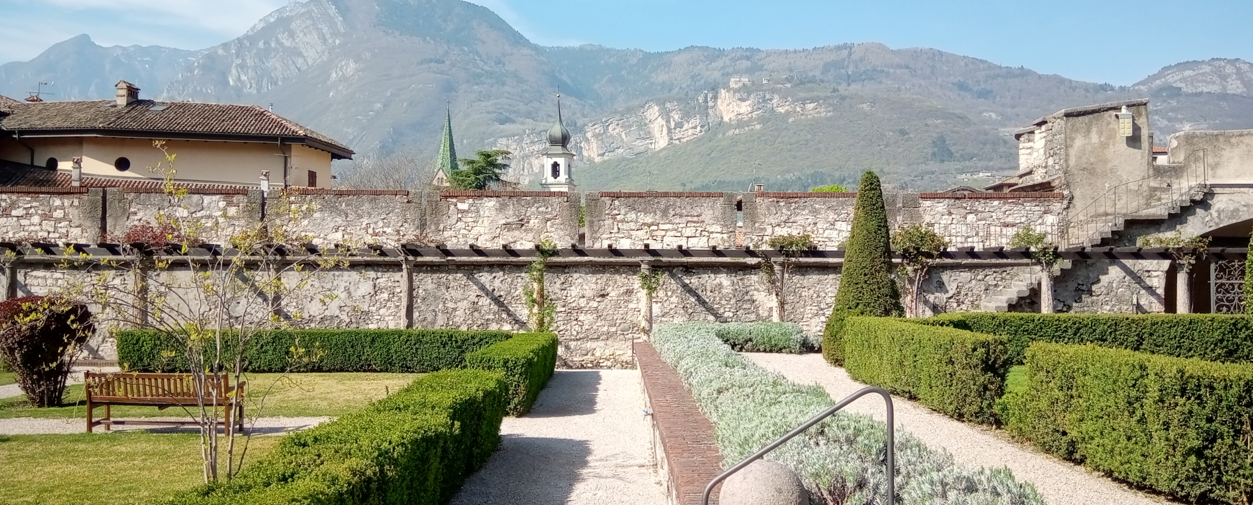
Castello del Buonconsiglio
10.3 km away, in Trento
The residence of Trento's prince-bishops for four centuries, with the Torre Aquila and its Cycle of the Months.
Lago di Nembia
12.8 km away, in San Lorenzo Dorsino
A small lake in the Sarca gorges near San Lorenzo Dorsino, on the edge of the Adamello-Brenta park.
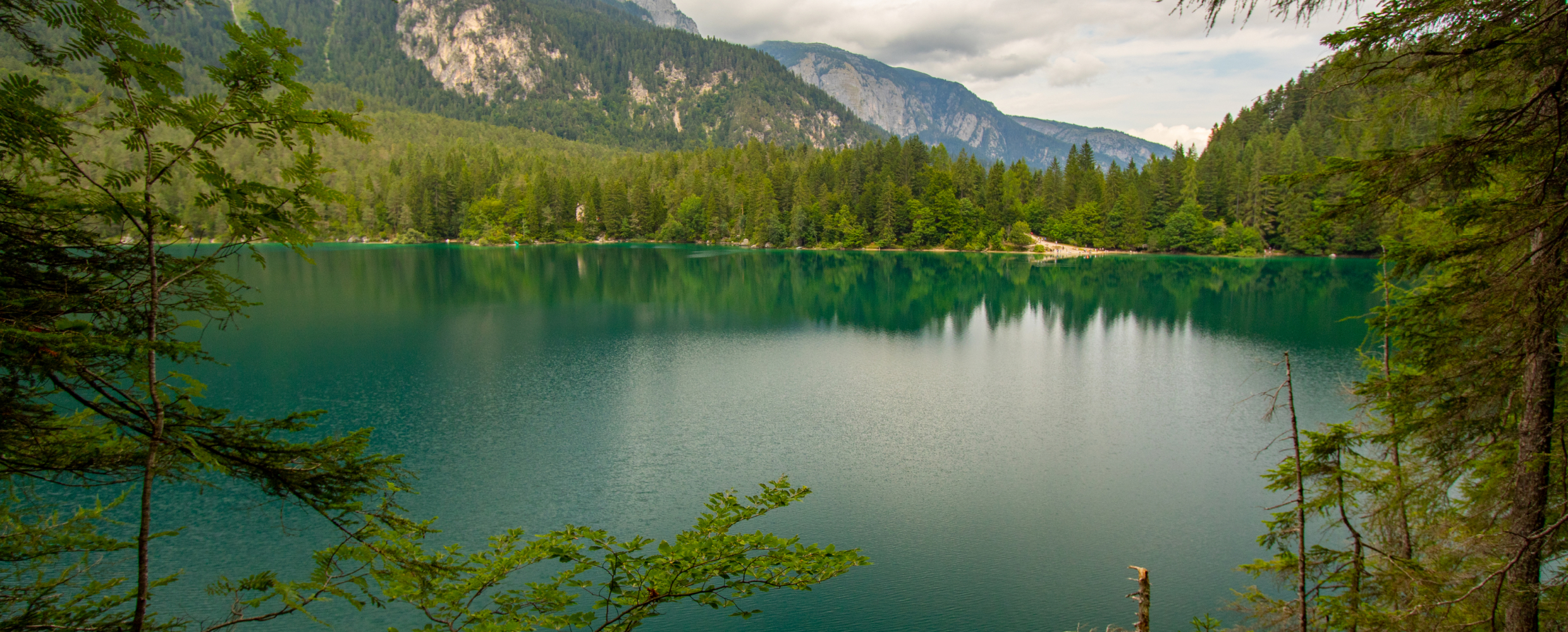
Lago di Tovel
15 km away, in Ville d'Anaunia
A lake at 1,178 m below the Brenta Dolomites, once famous for the red algal bloom that coloured its water.
Nothing of this kind in Terre d'Adige.
Routes
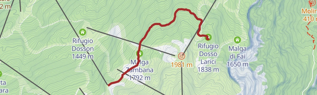
807 "Doss Pelà-Dosso Larici"
A brief stretch of forest road through the woods from the Doss Pelà top station to the Rifugio Dosso Larici, by way of Malga Zambana.
- 2.9 km
- Distance
- 149 m
- Ascent
- 59 min
- Duration
- 34
- Check-ins
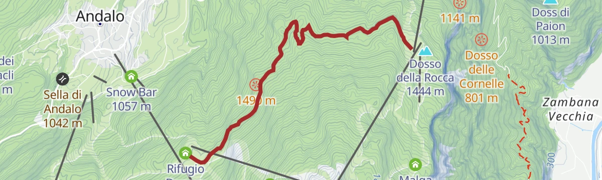
Open route APT Dolomiti di Brenta e PaganellaDosson-Meriz
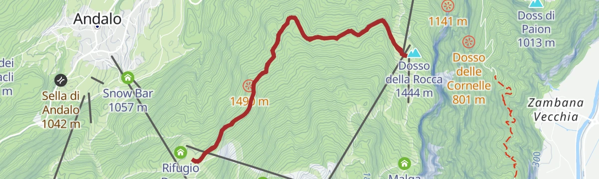
A nearly level forest road linking Dosson with Meriz over the Dosso della Rocca, open to anyone.
- 8.3 km
- Distance
- 165 m
- Ascent
- 2 h 21 min
- Duration
- 23
- Check-ins
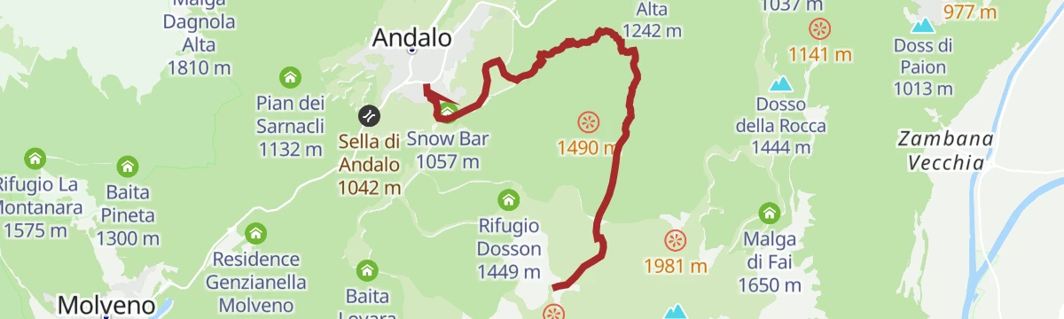
Open route APT Dolomiti di Brenta e PaganellaTrekking from Andalo to Cima Paganella
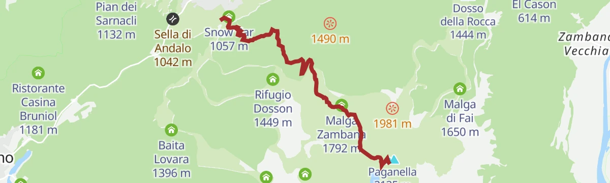
A steep ascent from Andalo up the ski slopes and pastures to the top of the Paganella, with the Adige valley on the far side.
- 5.7 km
- Distance
- 1 067 m
- Ascent
- 4 h
- Duration
- 117
- Check-ins
 Paganella 2 125 m
 Rifugio La Roda 2 120 m
- Osservatorio meteorologico di monte Paganella 2 125 m
- Malga Zambana 1 792 m
- Snow Bar 1 057 m
Open route APT Dolomiti di Brenta e PaganellaTre Tre - snowshoe and ski mountaineering trail
A snowshoe and ski-touring line up the Tre Tre slope from Fai della Paganella to the ridge above.
- 4.1 km
- Distance
- 819 m
- Ascent
- 67 m
- Descent
- 2 h 17 min
- Duration
- 9
- Check-ins
Open route APT Dolomiti di Brenta e Paganella806 "Giada Line"
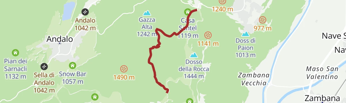
An enduro descent from the Cima Paganella down to the Santel bike park, technical in places and for experienced riders only.
- 6.8 km
- Distance
- 99 m
- Ascent
- 1 h 15 min
- Duration
- 123
- Check-ins
- Paganella 2 125 m
- Rifugio La Roda 2 120 m
- Osservatorio meteorologico di monte Paganella 2 125 m
- Malga Zambana 1 792 m
- Tre3 1 037 m
Open route APT Dolomiti di Brenta e Paganella790 "Tour Dosson / Meriz"
A cross-country bike round in the woods of the Paganella, hard on the concrete ramp at the start and shaded for the rest of the way.
- 11.2 km
- Distance
- 534 m
- Ascent
- 1 h 30 min
- Duration
- 50
- Check-ins
- Dosso della Rocca 1 444 m
- Rifugio Meriz 1 425 m
- Tre3 1 037 m
- Albergo El Paso 1 036 m
 Passo Santel 1 040 m
Open route APT Dolomiti di Brenta e PaganellaBear Trails -Ultimate Enduro Experience-
A lift-assisted enduro day on the Paganella, stringing five descents together between Rifugio La Roda and the trails above Molveno.
- 61.2 km
- Distance
- 4 292 m
- Ascent
- 10 h 49 min
- Duration
- 311
- Check-ins
- Paganella 2 125 m
- Rifugio La Roda 2 120 m
- Rifugio La Montanara 1 575 m
- Albergo Ristorante Del Brenta 1 362 m
- Osservatorio meteorologico di monte Paganella 2 125 m
- Rifugio Pradel 1 364 m
- +19
Open route APT Dolomiti di Brenta e PaganellaThe stage of 2022 Giro d'Italia Women.
A race-length road route from the Rotaliana plain to San Lorenzo Dorsino, with three long climbs by way of Andalo, Molveno and Passo Santel.
- 113.6 km
- Distance
- 3 474 m
- Ascent
- 13 h 10 min
- Duration
- 137
- Check-ins
- Fontanella 845 m
- Lago Park Hotel 826 m
- Grand Hotel Molveno 838 m
- Tre3 1 037 m
- Albergo El Paso 1 036 m
- Passo Santel 1 040 m
- +20
Open route APT Dolomiti di Brenta e PaganellaWalk from Doss Pelà to Rifugio Dosso Larici
An easy walk on the Paganella plateau linking two dairy huts, Malga Zambana and Albi de Mez, with a refuge at the far end.
- 3.0 km
- Distance
- 82 m
- Ascent
- 50 min
- Duration
- 34
- Check-ins
Open route APT Dolomiti di Brenta e PaganellaA1, Associazione Pescatori Dilettanti Trentini
A long flat riverside stretch on the Adige near Mezzocorona, on water managed by the Trentino anglers.
- 13.8 km
- Distance
- 0 m
- Ascent
- 3 h 13 min
- Duration
- 2
- Check-ins
Open route Trentino FishingTre Tre
A steep line up the disused Tre Tre piste on the Paganella, once a downhill race course won by Zeno Colò.
- 4.7 km
- Distance
- 976 m
- Ascent
- 3 h 43 min
- Duration
- 9
- Check-ins
Open route APT Dolomiti di Brenta e Paganella808 "Bus del Giaz"
A technical enduro descent on the Paganella from Selletta by Dosso Larici and Malga Fai down to Meriz, for experienced riders only.
- 3.6 km
- Distance
- 0 m
- Ascent
- 33 min
- Duration
- 39
- Check-ins
Open route APT Dolomiti di Brenta e PaganellaTour to the Garda Lake
A long, nearly level ride down to the north end of Lake Garda and the villages along its shore.
- 96.2 km
- Distance
- 166 m
- Ascent
- 8 h 45 min
- Duration
- 110
- Check-ins
- Garda Dolomiti Azienda per il turismo S.p.A. 69 m
- cappella di San Rocco 213 m
- Passo San Giovanni 272 m
- ENI 197 m
- Villa Eleganza 228 m
- Visitrovereto.it 190 m
- +7
Open route Südtirols SüdenDosson - Meriz walk
An easy walk on forest roads between Dosson and Meriz on the Paganella side above Andalo.
- 4.5 km
- Distance
- 111 m
- Ascent
- 1 h 21 min
- Duration
- 28
- Check-ins
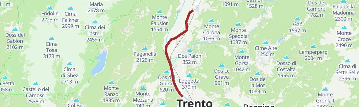
Open route APT Dolomiti di Brenta e PaganellaFiume Adige A2
A long, nearly level route beside the Adige on the valley floor at Terre d'Adige, north of Trento.
- 14.2 km
- Distance
- 66 m
- Ascent
- 3 h 30 min
- Duration
- 1
- Check-ins
787 "Ribs Trail"
A rocky, root-strewn descent on the Paganella from Malga Zambana, starting at the Doss Pelà top station and ending by the ski lifts.
- 6.9 km
- Distance
- 10 m
- Ascent
- 53 min
- Duration
- 29
- Check-ins
Open route APT Dolomiti di Brenta e Paganella789 "Tour of the 4 Towns"
A hilly circuit from the shore of Lago di Molveno through Fai della Paganella, Cavedago and Andalo, crossing the Passo Santel.
- 30.3 km
- Distance
- 1 315 m
- Ascent
- 3 h 56 min
- Duration
- 102
- Check-ins
- Dosso della Rocca 1 444 m
- Fontanella 845 m
- Rifugio Meriz 1 425 m
- Lago Park Hotel 826 m
- Grand Hotel Molveno 838 m
- Tre3 1 037 m
- +6
Open route APT Dolomiti di Brenta e PaganellaFalesia di Zambana Vecchia
The approach to the Zambana Vecchia crag, an old Adige valley climbing wall of two sectors with pitches from 5a to 8a, usable most of the year.
- 16 m
- Distance
- 34 m
- Ascent
- 10 min
- Duration
- 1
- Check-ins
Open route APT Dolomiti di Brenta e PaganellaThe White Asparagus trail
A flat themed loop across the Zambana plain, where silt from the Adige and the Noce feeds the white asparagus fields, easy enough for pushchairs.
- 7.8 km
- Distance
- 10 m
- Ascent
- 1 h 50 min
- Duration
Open route APT Dolomiti di Brenta e PaganellaSupernatural by Pirelli
A short bike trail in the Andalo area, running from Selletta across to Doss Pelà.
- 1.8 km
- Distance
- 0 m
- Ascent
- 14 min
- Duration
- 12
- Check-ins
Open route APT Dolomiti di Brenta e PaganellaGita giornaliera al Lago di Garda
A road-bike day out to Lake Garda over the Passo San Giovanni, almost flat for its whole length.
- 98.6 km
- Distance
- 131 m
- Ascent
- 8 h 56 min
- Duration
- 98
- Check-ins
- Prati Del Diavolo 208 m
- Soardi Center 212 m
- cappella di San Rocco 213 m
- Passo San Giovanni 272 m
- Chiesa di Sant'Antonio 223 m
- ENI 197 m
- +12
Open route Sterzing, Pfitsch und FreienfeldTorrente Noce D2
A flat route along the Noce above its junction with the Adige, on the Rotaliana plain.
- 8.8 km
- Distance
- 0 m
- Ascent
- 2 h 5 min
- Duration
Open route Trentino Fishing809 "Malghette Trail"
An enduro line by the Fai della Paganella bike park, part of a 2015 European Enduro Series stage, mixing flowing and tight wooded turns.
- 3.0 km
- Distance
- 20 m
- Ascent
- 27 min
- Duration
- 9
- Check-ins
Open route APT Dolomiti di Brenta e PaganellaDolomiti di Brenta Bike Explorer - Altopiano della Paganella: il monte Gazza e la Paganella
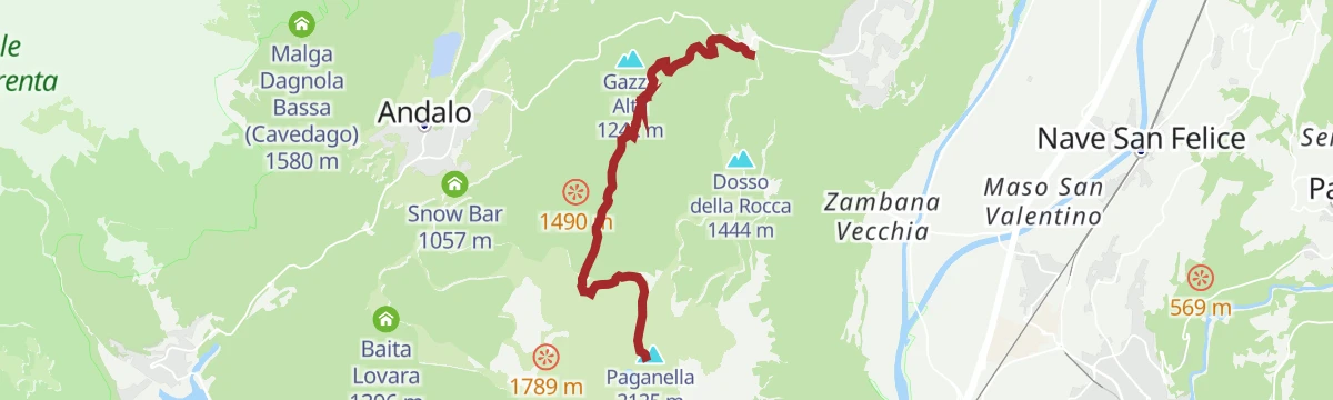
A hard Brenta Dolomites variant that branches off at Lago di Nembia and climbs the pastures of Monte Gazza onto the Paganella tableland.
- 44.3 km
- Distance
- 3 511 m
- Ascent
- 8 h 36 min
- Duration
- 93
- Check-ins
- Malga Zambana 1 792 m
- Albi de Mez 1 775 m
- Chalet Malga Terlaga 1 817 m
- Chalet Paganella 2 1 752 m
- Molveno Holiday's 868 m
- APT Dolomiti Paganella 1 021 m
- +6
Open route APT Dolomiti di Brenta e Paganella795 "Panoramico Fai"
A very short bike loop at Fai della Paganella, with a few open windows over the Adige valley between the trees.
- 1.3 km
- Distance
- 41 m
- Ascent
- 9 min
- Duration
Open route APT Dolomiti di Brenta e PaganellaRoadbike: Valle di Cembra
A hundred-kilometre road tour from the Weinstraße down to Lavis, then up the terraced Cembra valley and back over the San Lugano pass.
- 99.7 km
- Distance
- 1 141 m
- Ascent
- 9 h 55 min
- Duration
- 64
- Check-ins
- Prati Del Diavolo 208 m
- Cappella della Beata Vergine del Rosario della nuova Pompei 985 m
- Al Ponte - Brückenwirt 764 m
- Ristorante Bar Vecchia Stazione 1 010 m
- B&B Casa Giovannelli 1 013 m
- Hotel Pausa 922 m
- +10
Open route Südtirols SüdenHandbike - Dosson and Meriz
A handbike route through the Paganella woods from Andalo up to the Rifugio Dosson and the Rifugio Meriz above Fai.
- 20.2 km
- Distance
- 643 m
- Ascent
- 2 h 24 min
- Duration
- 59
- Check-ins
- Dosso della Rocca 1 444 m
- Rifugio Dosson 1 449 m
- Rifugio Meriz 1 425 m
- APT Dolomiti Paganella 1 021 m
Open route APT Dolomiti di Brenta e PaganellaRoadbike: Südtiroler - Trientner Weinstraßen
A road tour south under the cliffs to Mezzocorona and Lavis, climbing to Pressano above the Trentino vineyards before the Adige path home.
- 73.5 km
- Distance
- 810 m
- Ascent
- 7 h 17 min
- Duration
- 38
- Check-ins
- Prati Del Diavolo 208 m
- Turismusverein Kurtatsch - Informazioni Turistiche Cortaccia 344 m
- Pub Pizzeria Weinstraße 295 m
- Passo Croce 616 m
- gas 212 m
- Da Silvio 211 m
- +6
Open route Südtirols SüdenFrom Ora to Trento
A level run up the Adige cycle path from Ora to Trento, past Castelfeder and the Faedo bike stop.
- 48.1 km
- Distance
- 21 m
- Ascent
- 4 h 18 min
- Duration
- 35
- Check-ins
- Prati Del Diavolo 208 m
- Castelfeder - Grill-Imbiss - ristoro 221 m
- gas 212 m
- BikeBreak - Bicigrill Faedo 208 m
- ex Lord Hotel 210 m
- Da Silvio 211 m
- +2
Open route Südtirols SüdenGiro del Vino 50
A loop through the vineyards of the Piana Rotaliana between Trento and Bolzano, climbing onto the Avisio slopes past the cappella di San Valentino.
- 54.6 km
- Distance
- 656 m
- Ascent
- 5 h 28 min
- Duration
- 12
- Check-ins
- gas 212 m
- ex Lord Hotel 210 m
- Da Silvio 211 m
- La Cacciatora 210 m
- Ex stazione della funivia "Direttissima della Paganella" 202 m
- cappella di San Valentino 449 m
- +4
Open route APT Dolomiti di Brenta e PaganellaGiro Rotaliana Adige
A flat valley circuit through the Piana Rotaliana vineyards, following the Adige cycle path down past Lavis and Nave San Felice.
- 56.7 km
- Distance
- 70 m
- Ascent
- 5 h 6 min
- Duration
- 4
- Check-ins
- Ex stazione della funivia "Direttissima della Paganella" 202 m
- cabina riduzione gas metano 208 m
- Consorzio Turistico Piana Rotaliana-Königsberg 226 m
Open route APT Dolomiti di Brenta e Paganella
No routes of this kind in Terre d'Adige yet.
The region's own picks
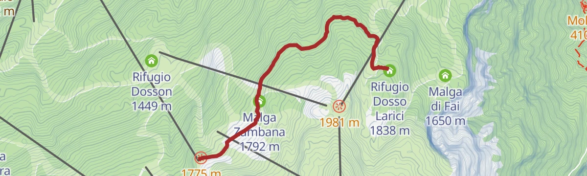
Featured route
807 "Doss Pelà-Dosso Larici"
A brief stretch of forest road through the woods from the Doss Pelà top station to the Rifugio Dosso Larici, by way of Malga Zambana.
Planning a trip to Terre d'Adige?
Everything else Trentino-Alto Adige/Südtirol has, in one place


Take Terre d'Adige with you into the mountains
Every route on this page with 3D terrain, GPX navigation and offline maps — including the valleys with no signal.
Data sources
- Official website: visittrentino.info ↗
- Routes and highlights: APT Dolomiti di Brenta e Paganella, Italia.it, Südtirols Süden, Trentino Fishing, Visit Trentino, Sterzing, Pfitsch und Freienfeld
- Published as open data by the tourist boards named above.
- Region summary generated from the board's own material.
