
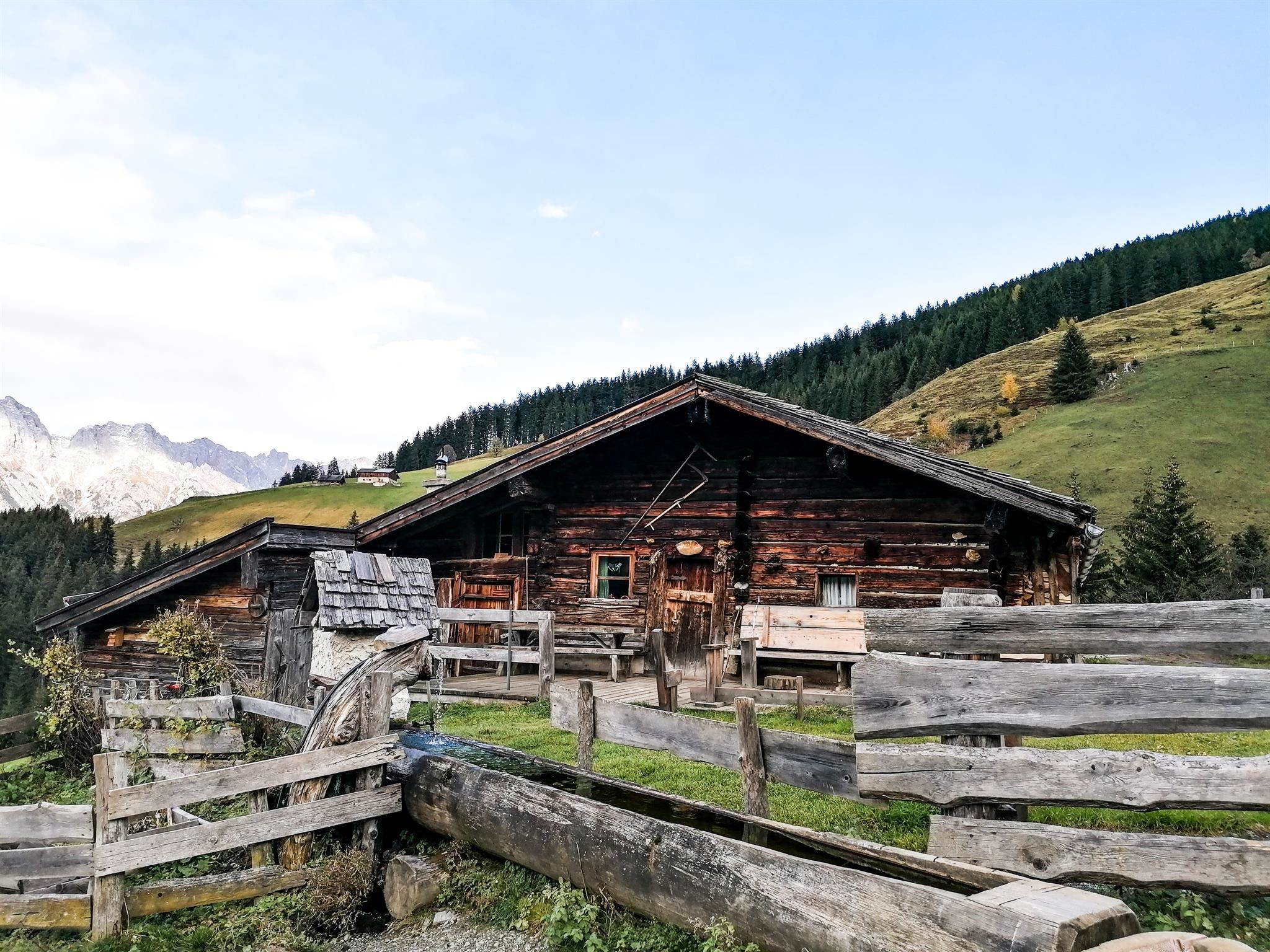
 Mountain hut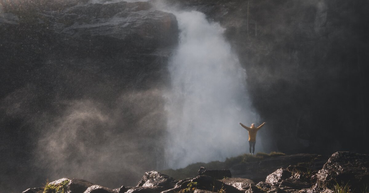
 Historic site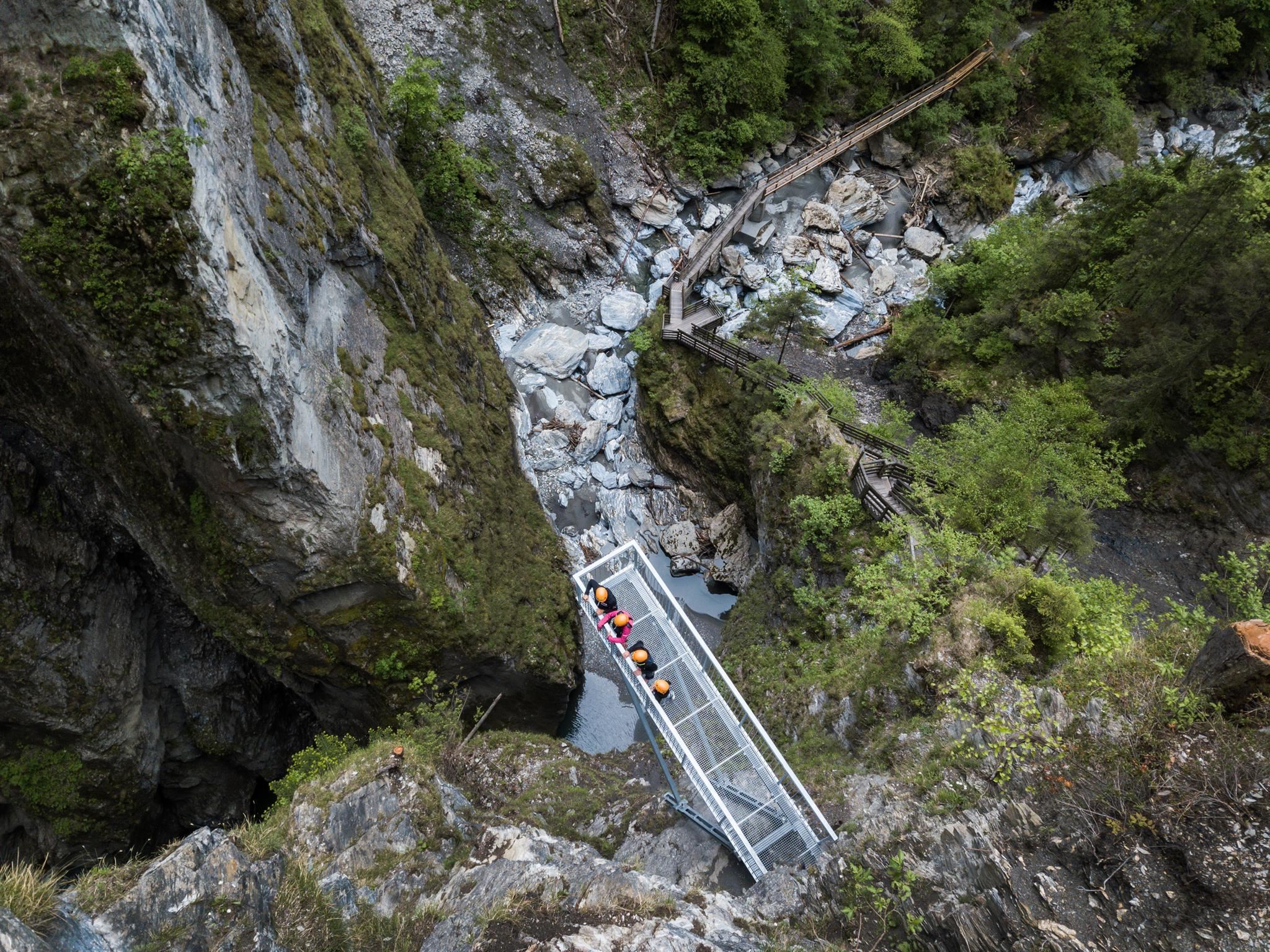









Curated by Hochkönig Tourismus
Taxenbach
Market village above the Salzach midway between Zell am See and the Gastein junction, best known for the Kitzlochklamm gorge cut by the Rauriser Ache.
- 2Highlights
- 6Routes
- Featured summit · Hundstein
Highlights
13 from neighbouring places
Hochkaseralm 1.700 m
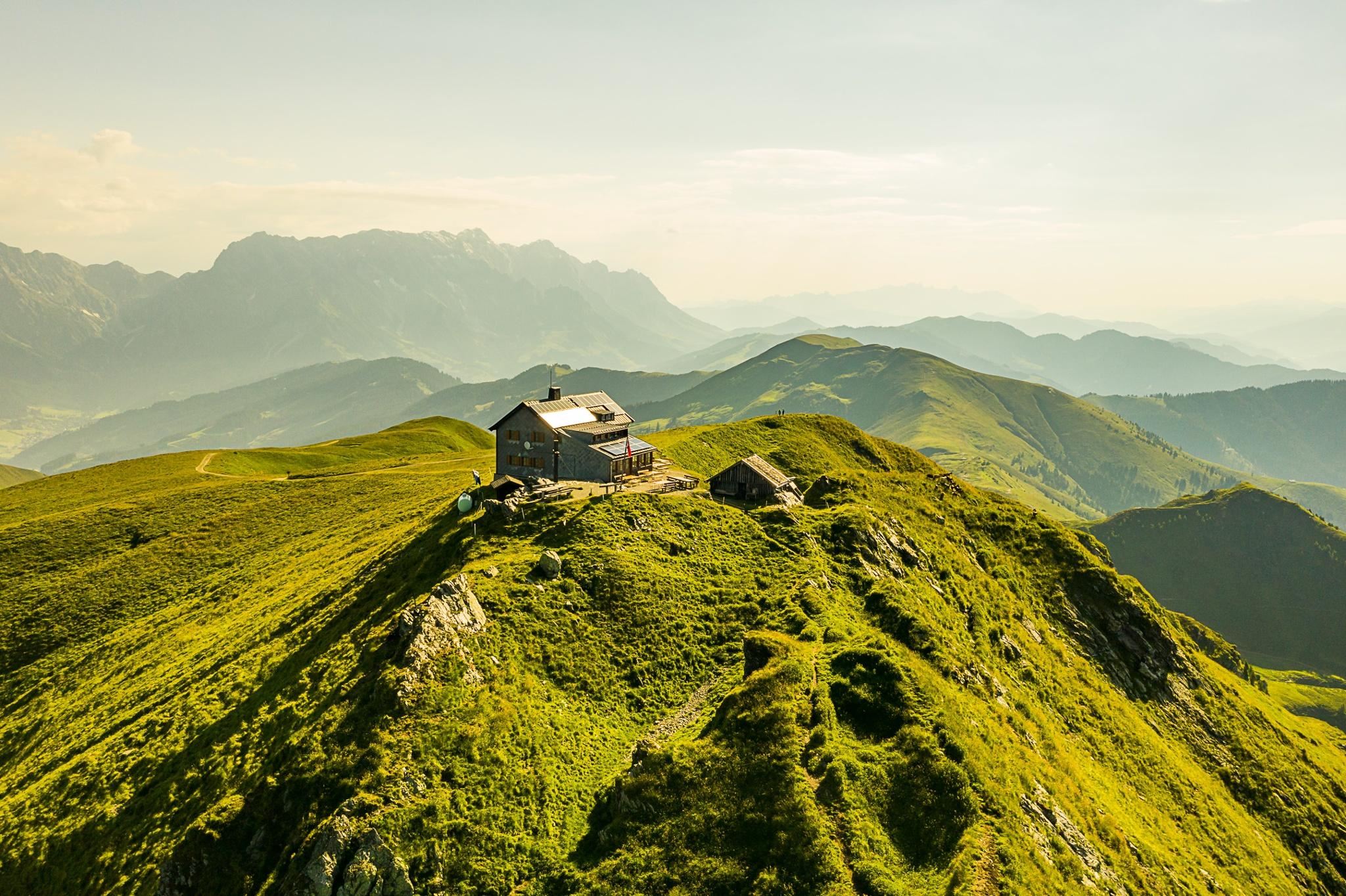
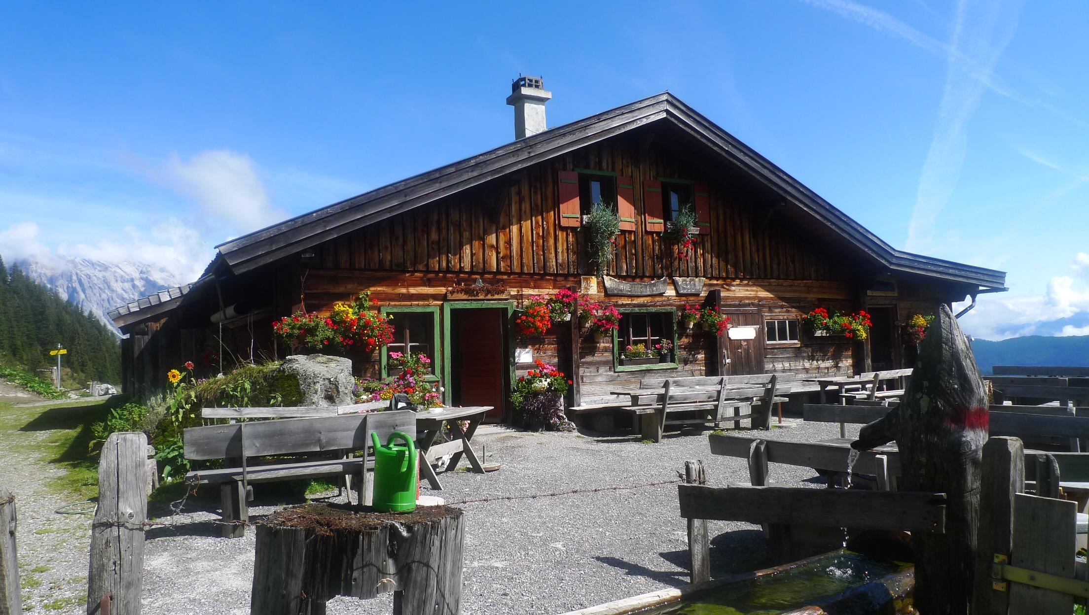
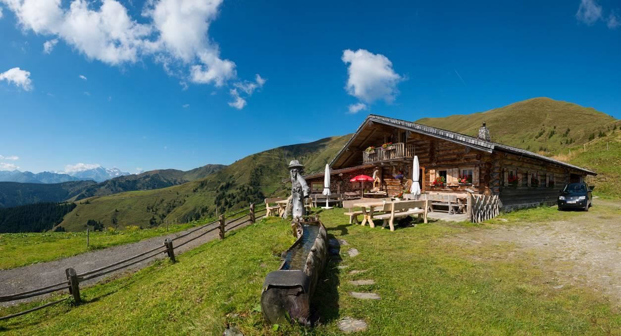
A high pasture hut at 1,700 m in the grazing country between Dienten and Taxenbach, serving Austrian dishes in summer.
Kräuterwelt am Schlossberg
A herb garden on the Schlossberg above Taxenbach in the Pinzgau, planted with local medicinal and kitchen herbs.
Niederseilgarten am Schlossberg
2.3 km away, in Lend
A low ropes course on the Schlossberg at Lend in the Pinzgau, used for group activities.
Kitzlochklamm
2.5 km away, in Lend
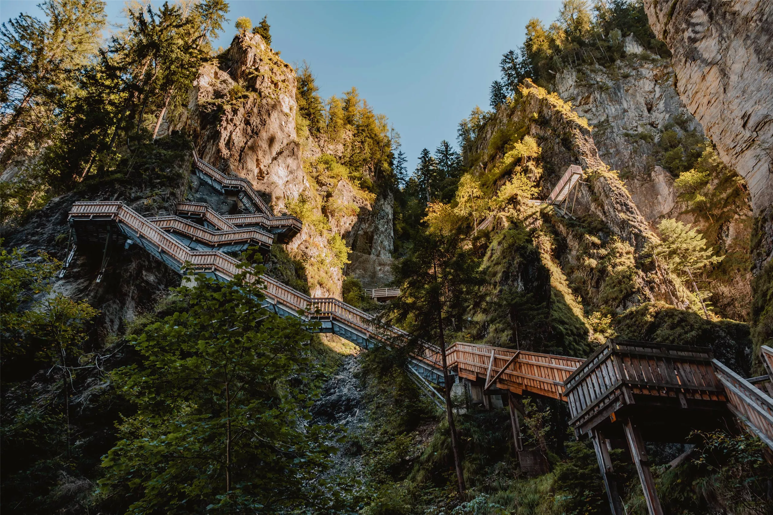
A narrow gorge at Taxenbach cut by the Rauriser Ache, opened up by walkways and galleries that lead close above the rushing water.
Kitzlochklamm in Taxenbach
2.5 km away, in Lend
A narrow gorge at Taxenbach cut by the Rauriser Ache, crossed on wooden walkways between overhanging rock walls.
Statzerhaus am Hundstein 2.117 m
5.8 km away, in Bruck an der Großglocknerstraße
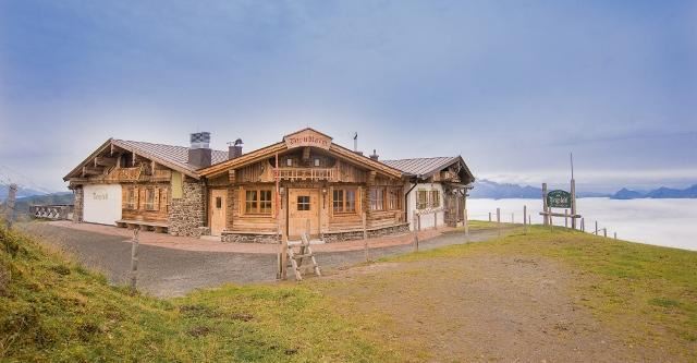
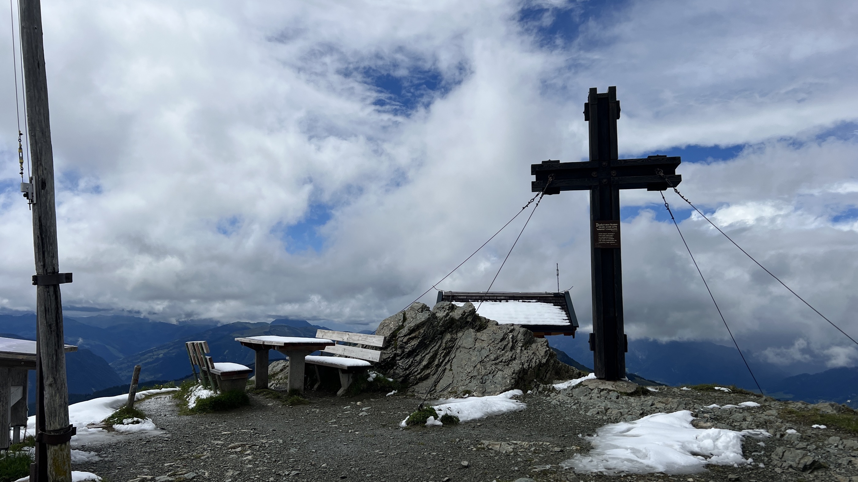
A refuge on the summit of the Hundstein at 2,117 m above Maria Alm, with wide views over the Pinzgau and simple Austrian food.
Bogenpark Kohlschnait
7.1 km away, in Bruck an der Großglocknerstraße
An archery park at Kohlschnait above Bruck an der Glocknerstraße in the Pinzgau.
Rodelbahn Kreuzboden Rauris
7.3 km away, in Rauris
A toboggan run at Kreuzboden near Rauris, sledged in winter in the Raurisertal of the Pinzgau.
Rodelbahn Kohlschnait Bruck
7.6 km away, in Bruck an der Großglocknerstraße
A toboggan run at Kohlschnait above Bruck an der Glocknerstraße, used for sledging in winter.
Dirndlalm 1.899 m
7.6 km away, in Maria Alm am Steinernen Meer
A high alm at 1,899 m in the mountains south of Maria Alm, cooking Austrian and regional dishes for walkers on the upper paths.
9 Tipps für die Ferienregion Nationalpark Hohe Tauern
7.8 km away, in Rauris
A SalzburgerLand article listing nine excursion ideas for the Hohe Tauern National Park region around Rauris.
Reicheralm 1.580 m
7.9 km away, in Dienten am Hochkönig
A high pasture hut at 1,580 m in the grazing country south of Dienten, serving Austrian dishes during the summer season.
Grießbachalm 1.550 m - Hüttenurlaub Salzburger Land
8.4 km away, in Maria Alm am Steinernen Meer
A hut at 1,550 m above Maria Alm offering simple regional cooking and rentable hut lodging in the Salzburger Land style.
Pferdeschlittenfahrten Esterbauer
8.6 km away, in Dienten am Hochkönig
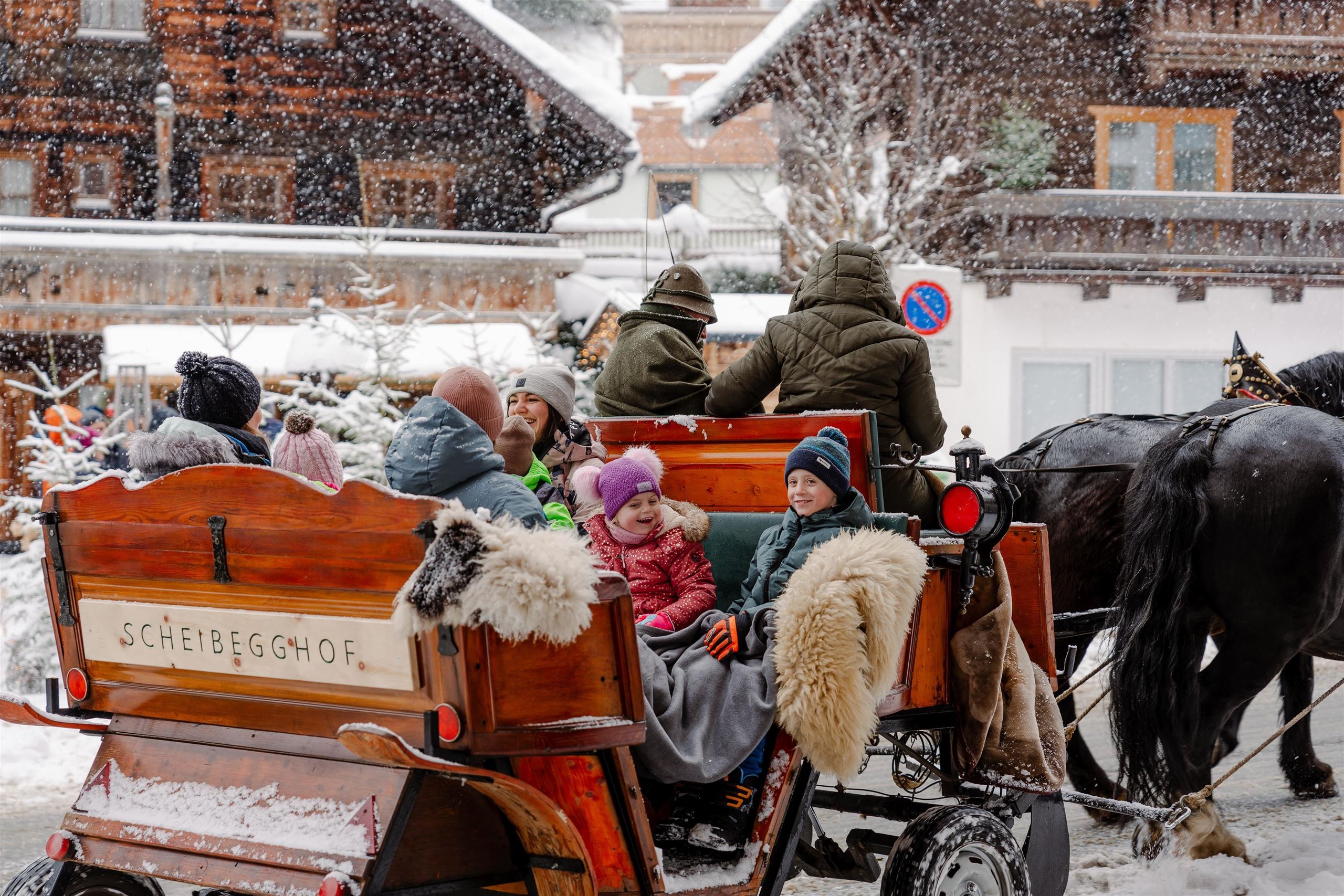
Winter sleigh rides with the Esterbauer horses at Dienten am Hochkönig, 1,051 m, crossing snow-covered meadows below the Hochkönig.
Eggeralm 1.200 m
8.6 km away, in Maria Alm am Steinernen Meer
A pasture hut at 1,200 m above Maria Alm, serving home-style regional dishes to walkers on the slopes south of the village.
Nothing of this kind in Taxenbach.
Routes
14 from neighbouring places
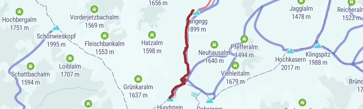
PINZGA HATSCHA Etappe 8 (von Dienten zum Statzerhaus)
Eighth stage of the Pinzgau route, 1,226 m from Dienten over the Klingspitz and Hochkasern to the Statzerhaus on the Hundstein.
- 12.2 km
- Distance
- 1 214 m
- Ascent
- 5 h 31 min
- Duration
- 44
- Check-ins
Ironman - Rund um die Pinzgauer Grasberge
The Ironman bike loop round the Pinzgau grass mountains, out by Maria Alm and back along the Salzach.
- 63.8 km
- Distance
- 796 m
- Ascent
- 6 h 25 min
- Duration
- 20
- Check-ins
Gravel Bike Route: Moosalm
A gravel loop from Bruck climbing past the Enzianhütte to the Moosalm under the Ronachkopf, then back down towards Zell am See.
- 35.0 km
- Distance
- 1 122 m
- Ascent
- 4 h 10 min
- Duration
- 24
- Check-ins
Der Königsweg 4. Etappe (Dienten- Maria Alm)
The stage from Dienten to Maria Alm strings three tops - Klingspitz, Hochkaser and Hundstein - into one 21 km day, dropping past the Lohningalm and Griesbachalm.
- 21.7 km
- Distance
- 1 085 m
- Ascent
- 8 h 26 min
- Duration
- 9
- Check-ins
IRONMAN 70.3. WM-Radstrecke
The road racing circuit around Zell am See, running out to Bruck in the Salzach valley and over the Filzensattel before returning to the lake.
- 89.9 km
- Distance
- 1 247 m
- Ascent
- 9 h 9 min
- Duration
- 17
- Check-ins
Dientner Runde + Rauriserhöhe
A long road circuit from Maria Alm over the Filzensattel to Bruck at the mouth of the Salzach valley, with a second big climb before the return.
- 72.7 km
- Distance
- 1 642 m
- Ascent
- 7 h 60 min
- Duration
- 16
- Check-ins
PINZGA HATSCHA Variante C (vom Statzerhaus nach Thumersbach)
5.8 km away, in Bruck an der Großglocknerstraße
Almost purely downhill variant from the Statzerhaus on the Hundstein, by the Stoffenalm and the Rupertihaus, to Thumersbach on the Zeller See.
- 9.3 km
- Distance
- 0 m
- Ascent
- 3 h 36 min
- Duration
- 34
- Check-ins
Skitour zum Statzerhaus auf den Hundstein 2.117 m
7.6 km away, in Maria Alm am Steinernen Meer
A short ski tour of 280 m finishing at the Statzerhaus on the 2,117 m Hundstein.
- 2.8 km
- Distance
- 266 m
- Ascent
- 40 m
- Descent
- 58 min
- Duration
- 57
- Check-ins
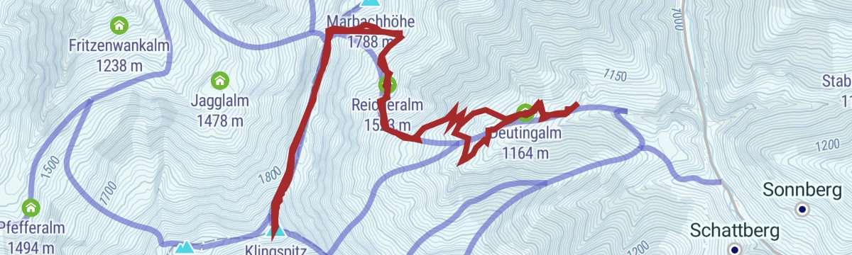
Skitour zum Klingspitz
8.2 km away, in Dienten am Hochkönig
Ski tour of 900 m to the Klingspitz by the Deutingalm and Reicheralm, facing the Hohe Tauern and the Steinernes Meer from the top.
- 10.7 km
- Distance
- 906 m
- Ascent
- 908 m
- Descent
- 3 h 48 min
- Duration
- 9
- Check-ins
ZE7 | Waldheim-Enzianhütte Tour
8.8 km away, in Zell am See
A steady, mid-length climb from the valley floor up to the Enzianhütte at 1,267 m on the slopes above Zell am See.
- 13.2 km
- Distance
- 589 m
- Ascent
- 1 h 44 min
- Duration
- 9
- Check-ins
Waldheim-Tour
9 km away, in Zell am See
A short but persistent paved climb on the hillside above Zell am See, gaining 280 m in under four kilometres of riding.
- 3.6 km
- Distance
- 280 m
- Ascent
- 41 min
- Duration
Nordic Walking am Erlenweg
10.5 km away, in Dienten am Hochkönig
A gravel track through the Dientental with almost no gradient, laid out for Nordic walking.
- 4.6 km
- Distance
- 51 m
- Ascent
- 1 h 13 min
- Duration
Skitour Schwalbenwand (Nordanstieg)
10.9 km away, in Maria Alm am Steinernen Meer
The north side of the Schwalbenwand, 1,100 m of steady steep skinning past the Oberstegalm.
- 9.7 km
- Distance
- 1 114 m
- Ascent
- 1 114 m
- Descent
- 4 h 6 min
- Duration
- 1
- Check-ins
Bürglalm - Mitzi Trail - Skill Area (Tour 9)
11 km away, in Dienten am Hochkönig
A short lift-served descent from the Bürglalm back down to the valley floor at Dienten am Hochkönig, finishing at the skills area.
- 5.1 km
- Distance
- 0 m
- Ascent
- 41 min
- Duration
MTB Tour Nani & Mariedl Trail (Tour 10)
11.3 km away, in Dienten am Hochkönig
A loop pairing the forest-road climb to the Zachhof Alm with a singletrack descent back down to Dienten am Hochkönig.
- 11.0 km
- Distance
- 608 m
- Ascent
- 1 h 38 min
- Duration
- 19
- Check-ins
Klettersteig Selbhorn - Herzogsteig
14.2 km away, in Maria Alm am Steinernen Meer
A via ferrata onto the Selbhorn, the highest point of the Steinernes Meer, taken over the Lugscharte and Braggstein for some 1,850 m of ascent.
- 14.2 km
- Distance
- 1 825 m
- Ascent
- 13 h 29 min
- Duration
- 4
- Check-ins
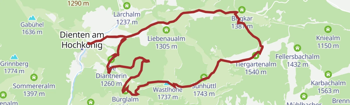
MTB Tour - Bürglalm Runde (Tour 4)
11.4 km away, in Dienten am Hochkönig
A forest-road loop up to the Wastlhöhe, linking the Tiergartenalm, the Dientalm and the Sunhüttl high above the Dienten valley.
- 15.5 km
- Distance
- 727 m
- Ascent
- 2 h 4 min
- Duration
- 53
- Check-ins
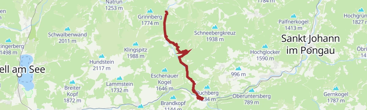
Pinzgauer Marienweg Etappe 10: Lend - Dienten
7.6 km away, in Lend
A demanding pilgrim stage from Lend up to Dienten, 15 km with a chance to swim on the way.
- 15.3 km
- Distance
- 739 m
- Ascent
- 5 h 4 min
- Duration
- 1
- Check-ins
Gravel Bike Route: Seeblickrunde
10 km away, in Bruck an der Großglocknerstraße
A gravel circuit over the Brucker Berg to the Ponyhofalm, with the Zeller See in sight on the descent back to the valley floor.
- 36.3 km
- Distance
- 944 m
- Ascent
- 4 h 7 min
- Duration
- 5
- Check-ins
PINZGA HATSCHA Etappe 9 (vom Statzerhaus nach Maishofen)
5.8 km away, in Bruck an der Großglocknerstraße
Ninth stage of the Pinzgau long-distance route, descending from the Statzerhaus on the Hundstein past the Kammeregg Alm and Schloss Kammer to Maishofen.
- 14.8 km
- Distance
- 289 m
- Ascent
- 5 h 42 min
- Duration
- 66
- Check-ins
No routes of this kind in Taxenbach yet.
The region's own picks

Featured route
PINZGA HATSCHA Etappe 8 (von Dienten zum Statzerhaus)
Eighth stage of the Pinzgau route, 1,226 m from Dienten over the Klingspitz and Hochkasern to the Statzerhaus on the Hundstein.
Planning a trip to Taxenbach?
Everything else Salzburg (state) has, in one place


Take Taxenbach with you into the mountains
Every route on this page with 3D terrain, GPX navigation and offline maps — including the valleys with no signal.
Data sources
- Official website: nationalpark.at ↗
- Routes and highlights: Hochkönig Tourismus, Zell am See-Kaprun Tourismus, Nationalpark, Großarltal Tourismus, Salzburgerland
- Published as open data by the tourist boards named above.
- Region summary generated from the board's own material.
