
 Historic site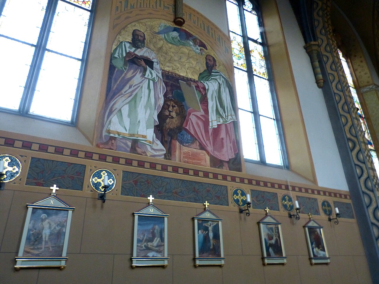



















Curated by Tourismusverband Pitztal
St. Leonhard im Pitztal
A chain of hamlets along the inner Pitztal ending beneath the Wildspitze, Tirol's highest summit, with glacier lifts rising to Austria's loftiest cable-car station at 3,440 m.
- 23Highlights
- 89Routes
- Featured summit · Hinterer Brunnenkogel
Highlights
The 20 highest-rated · see the rest on pitztal.com ↗
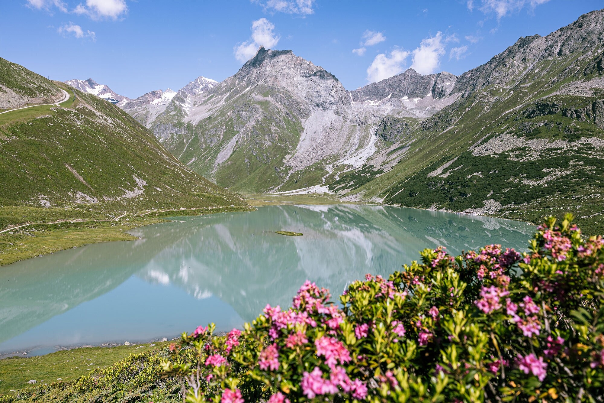
Rifflsee
A lake at 2,232 m below the Kaunergrat, reached by chairlift from Mandarfen and circled by a shore path.
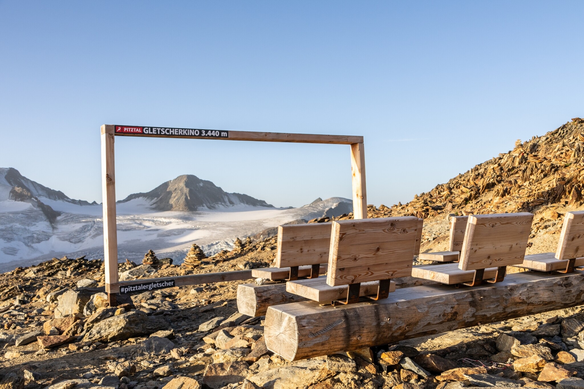
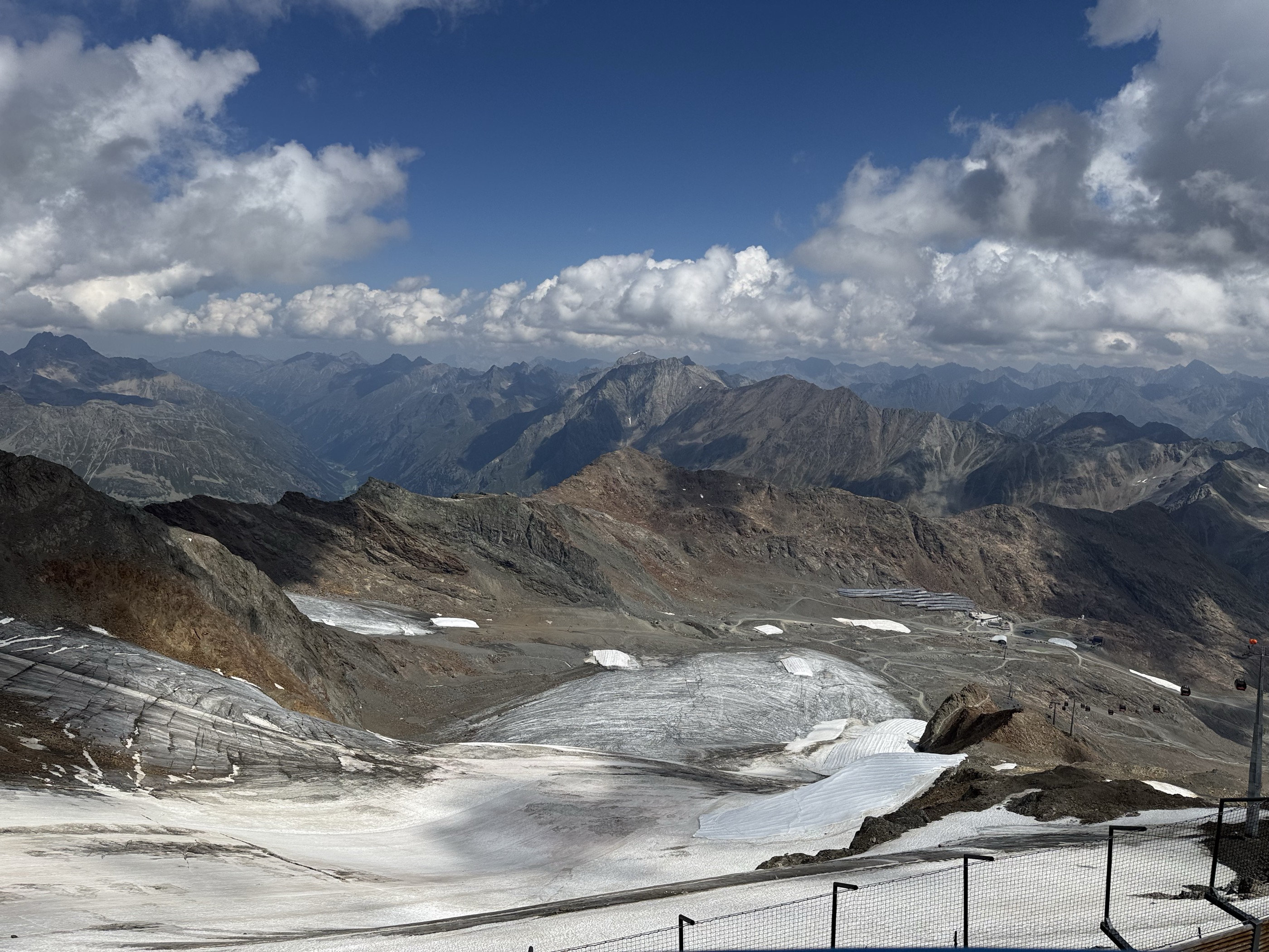
Gletscherkino 3.440 m
A small cinema at 3,440 m at the Pitztal glacier top station, claimed as the highest in Tirol.
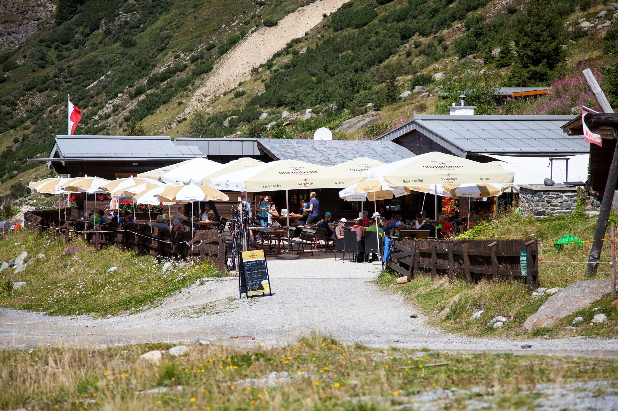
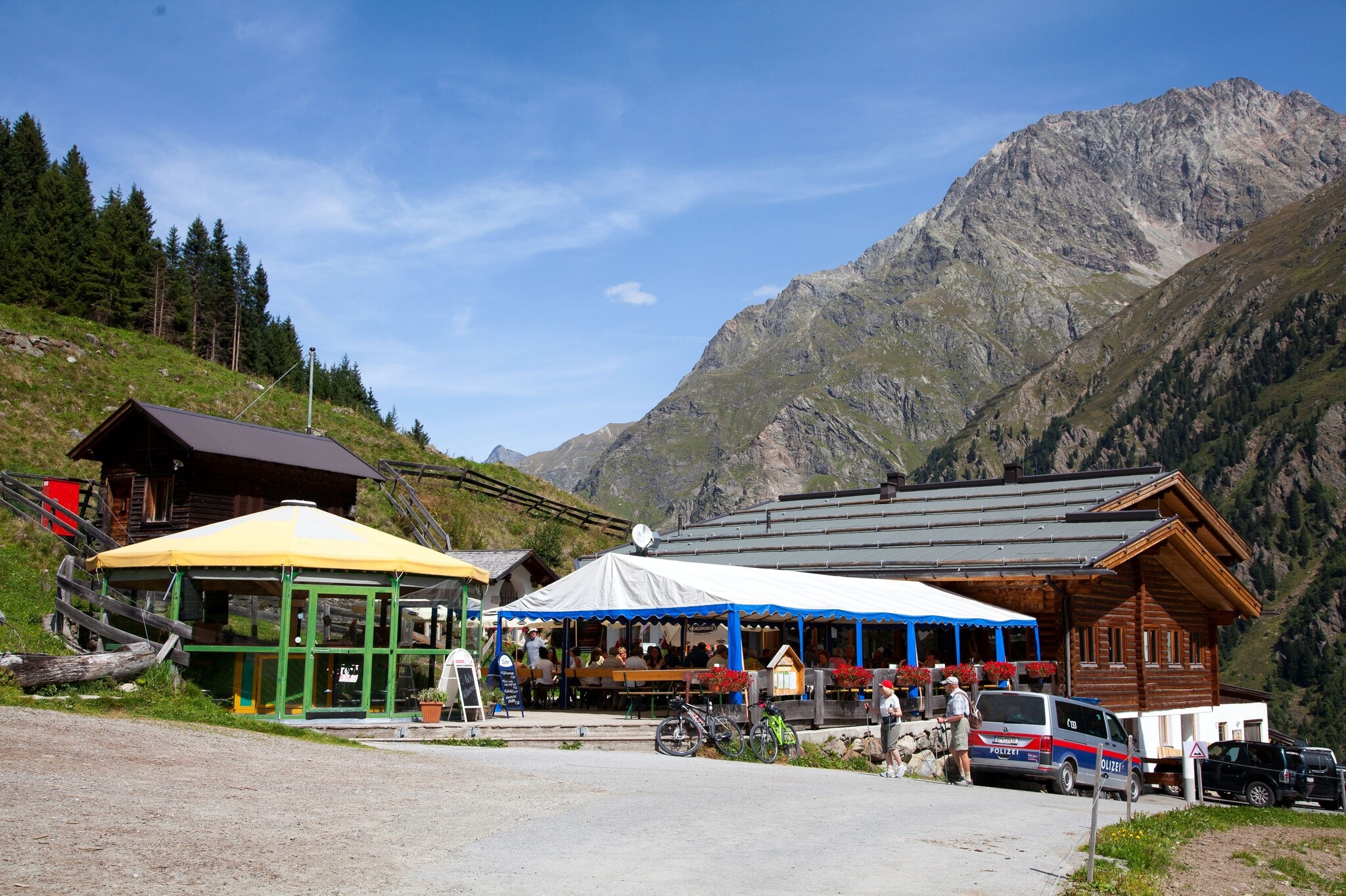
Gletscherstube (1.915 m)
A mountain inn at 1,915 m on the road up to the Pitztal glacier.
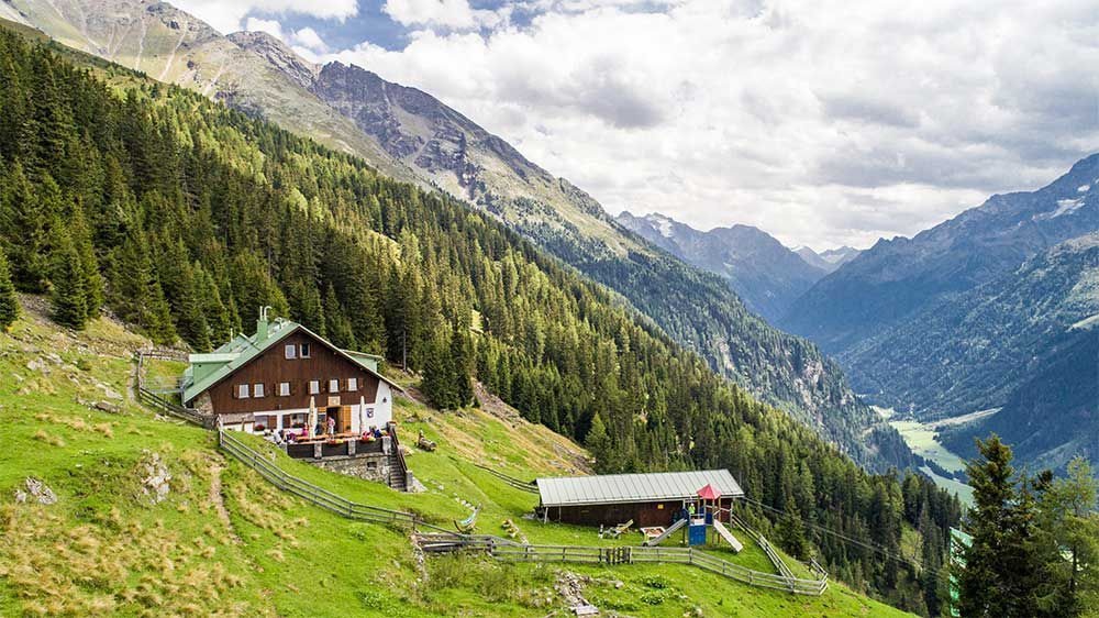
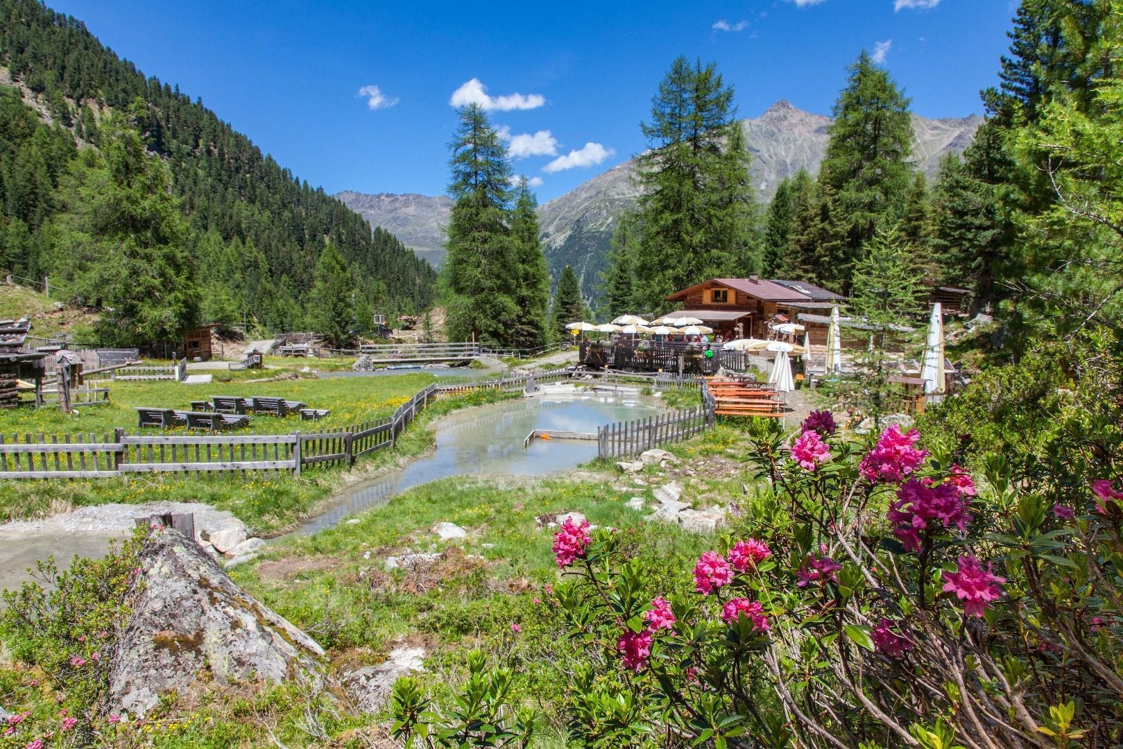
Arzler Alm (1.900 m)
An alpine pasture at 1,900 m above St. Leonhard, on the eastern slope of the valley.
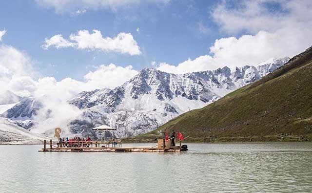
Europas höchste Floßfahrt am Rifflsee
A raft crossing of the Rifflsee at 2,232 m, billed as the highest lake raft trip in Europe, below the Kaunergrat ridge.
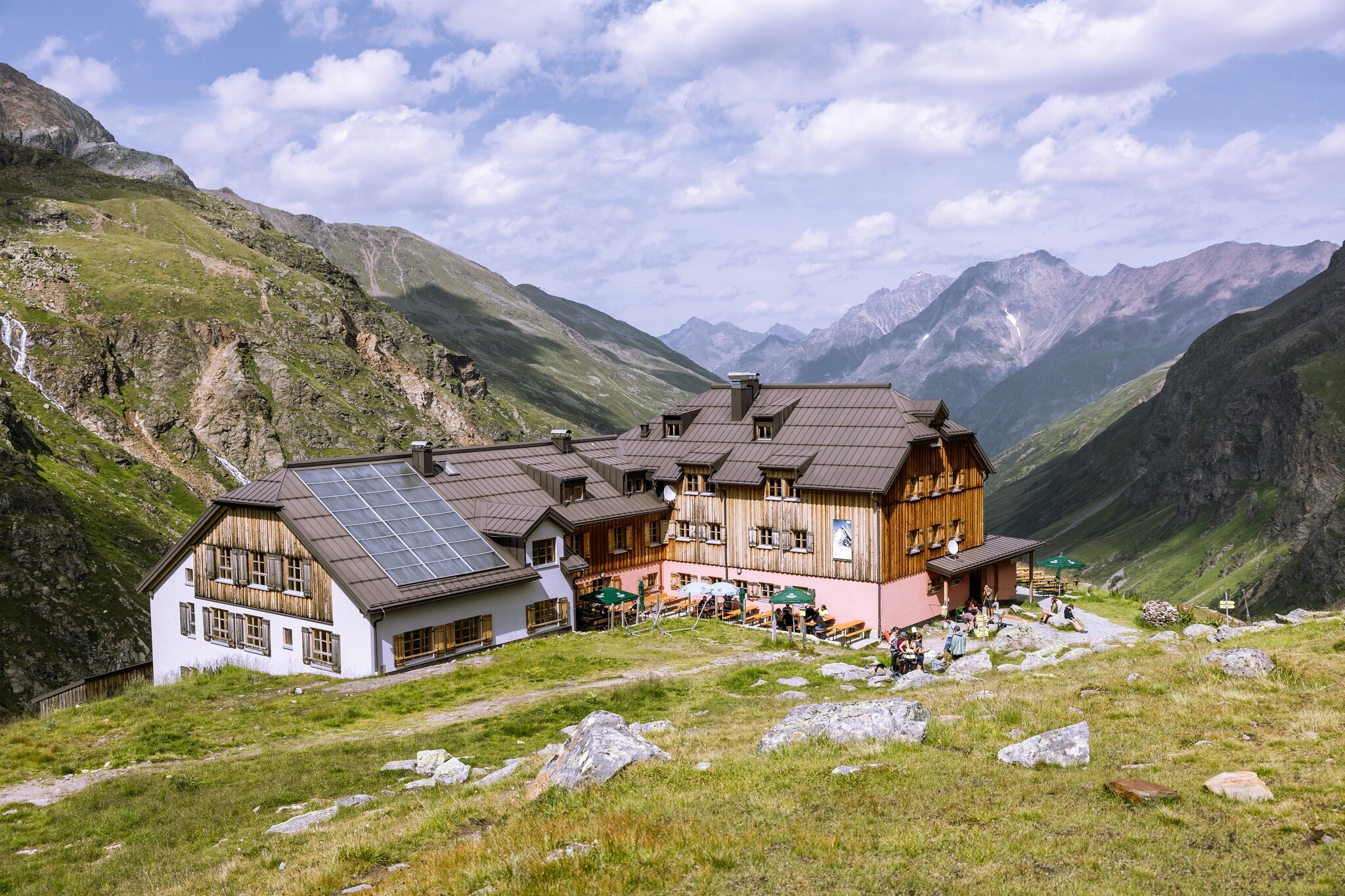
Ludwigsburger Hütte (1.935 m)
An Alpine Club hut at 1,935 m above the middle Pitztal, at the foot of the Hohe Geige.
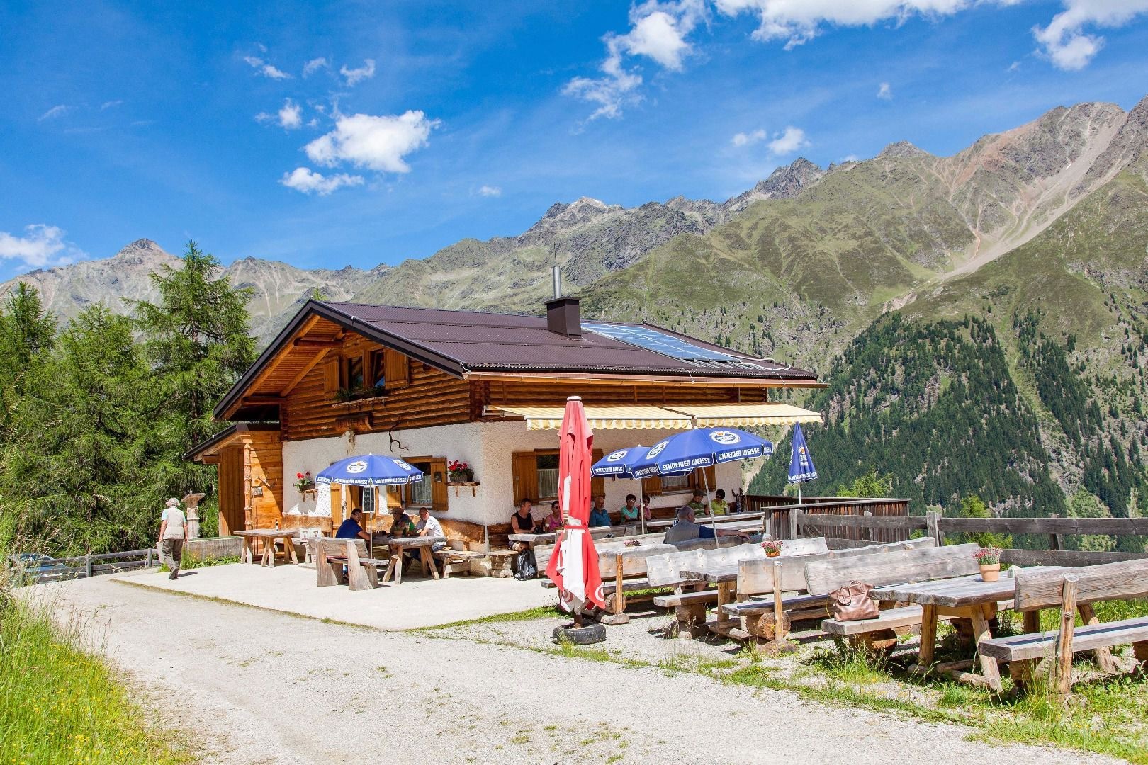
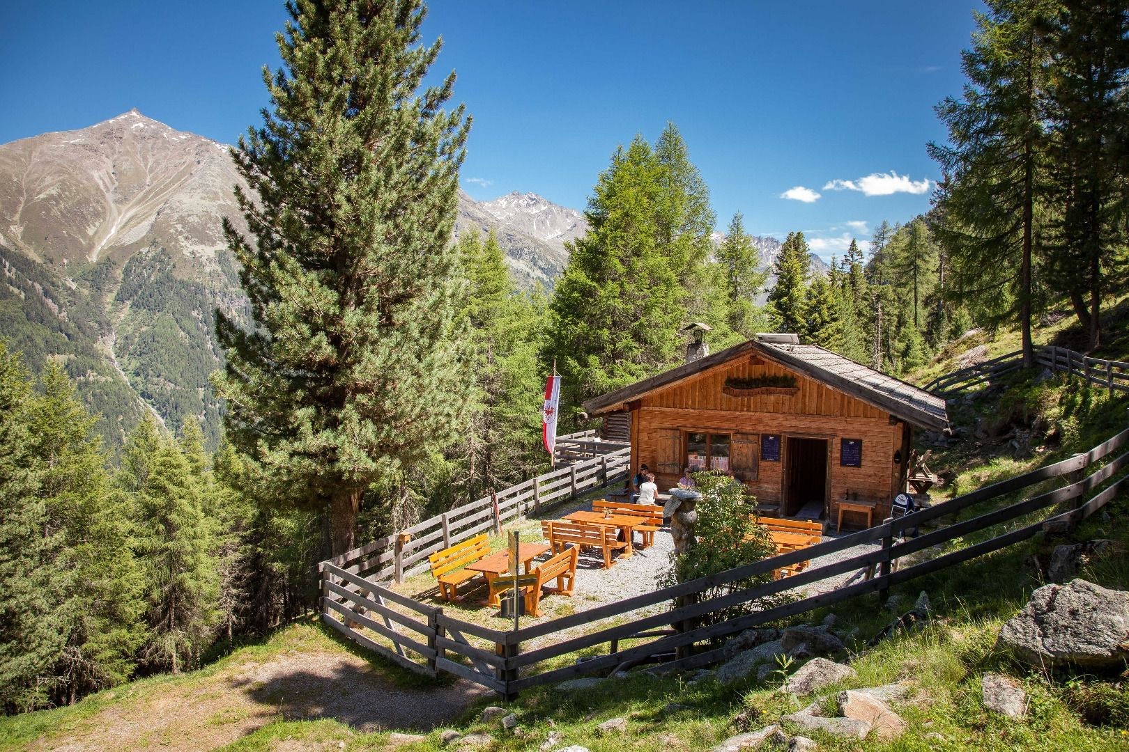
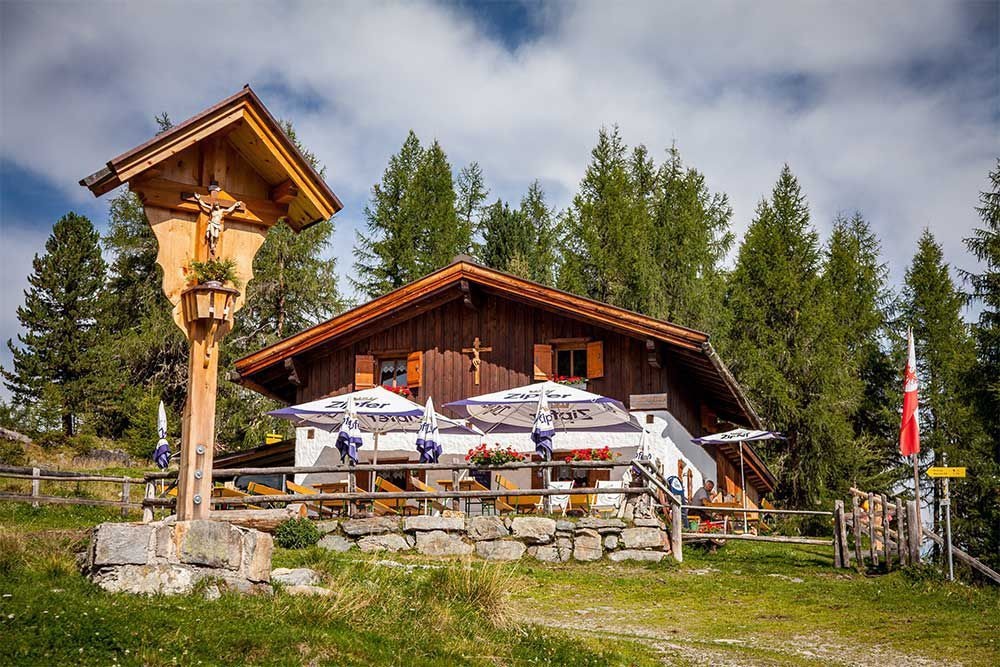
Mauchele Alm (1.840 m)
An alpine pasture at 1,840 m on the eastern slope of the middle Pitztal.
Riffelseehütte (2.293 m)
A hut at 2,293 m on the shore of the Rifflsee, reached by chairlift from Mandarfen or on foot.
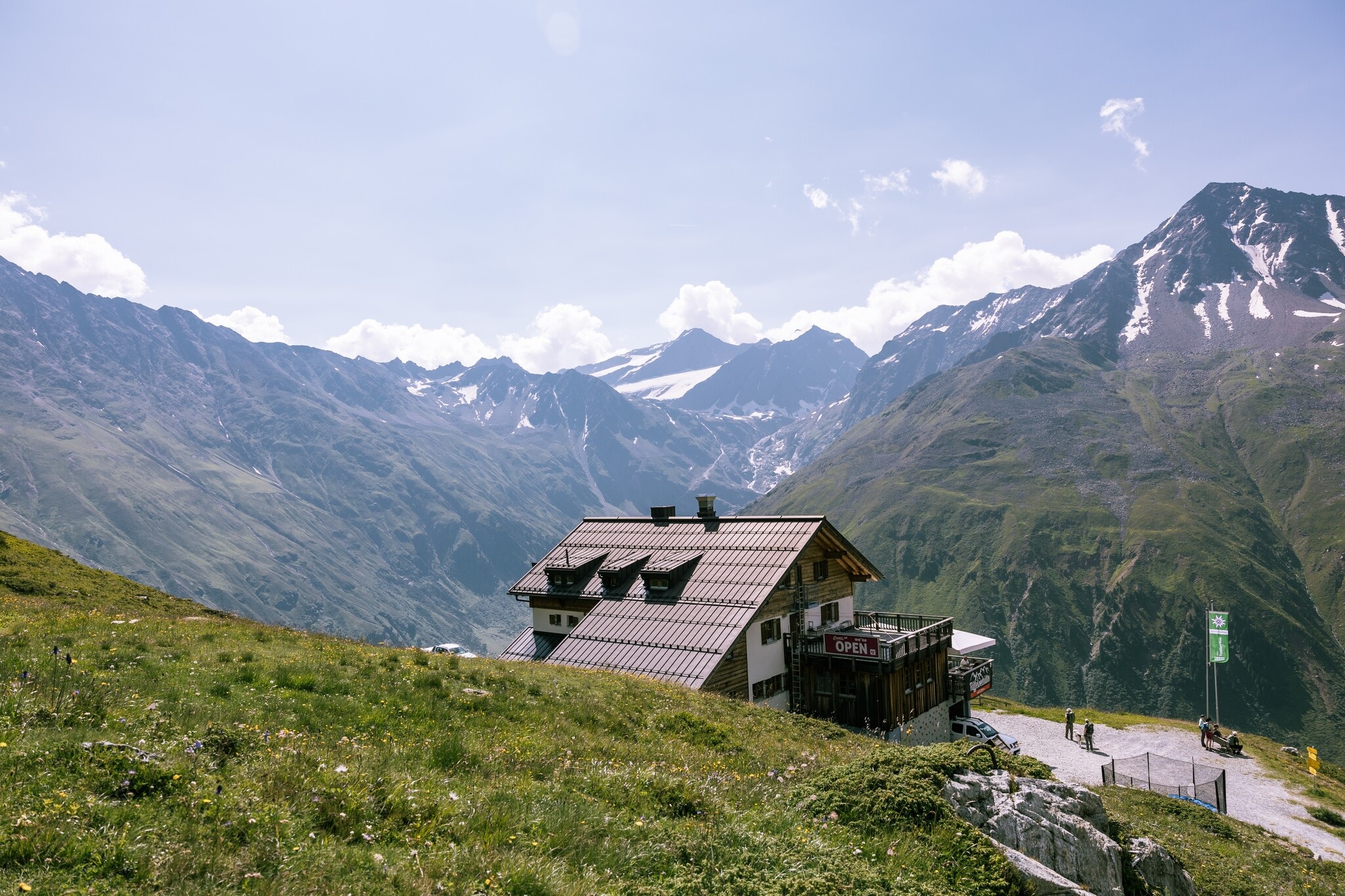
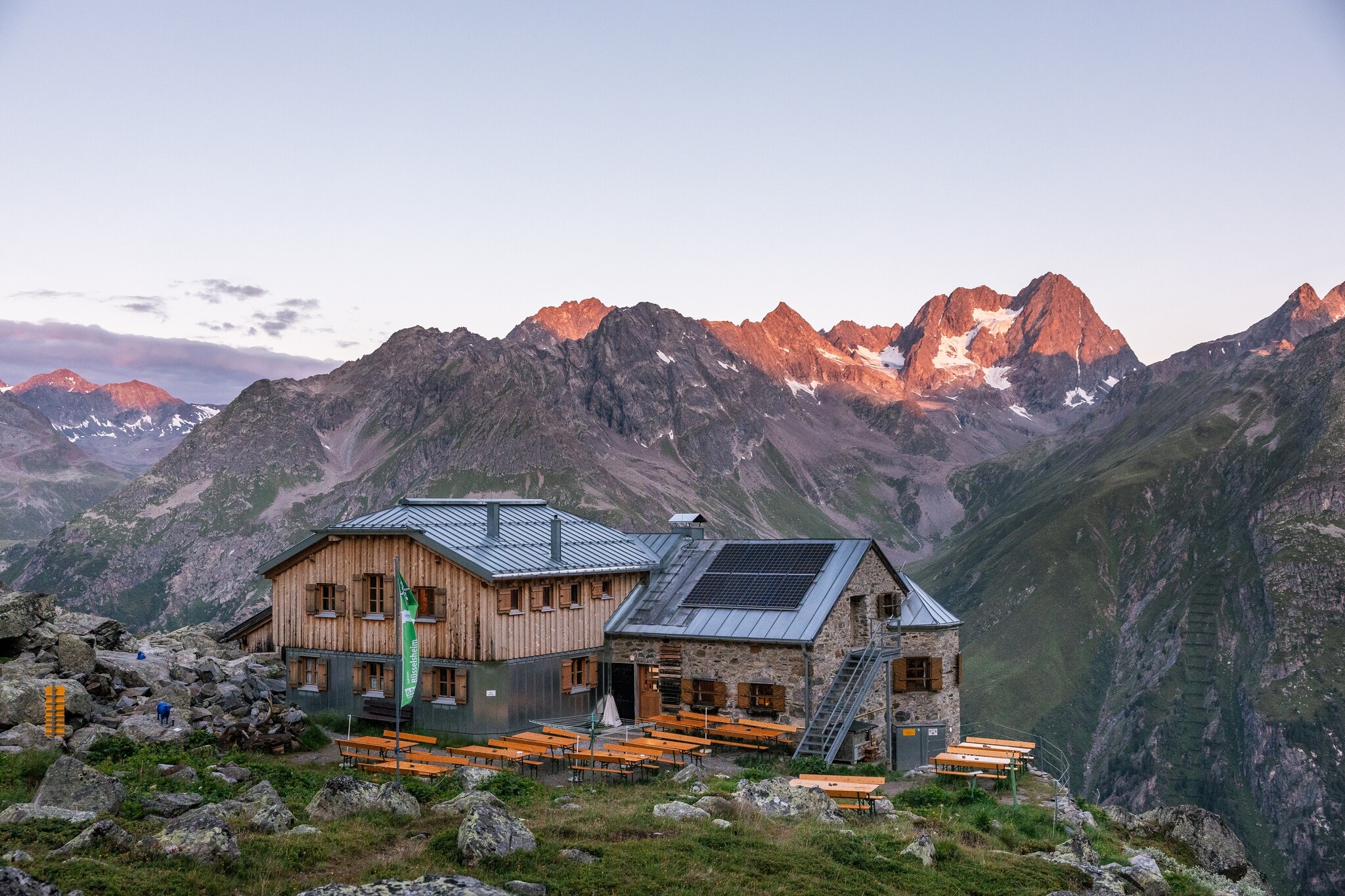
Rüsselsheimer Hütte (2.328 m)
An Alpine Club hut at 2,328 m on the eastern side of the upper Pitztal, on the route over to Plangeross.
Söllbergalm (1.849 m)
An alpine pasture at 1,849 m above Ritzenried, on the eastern flank of the valley.
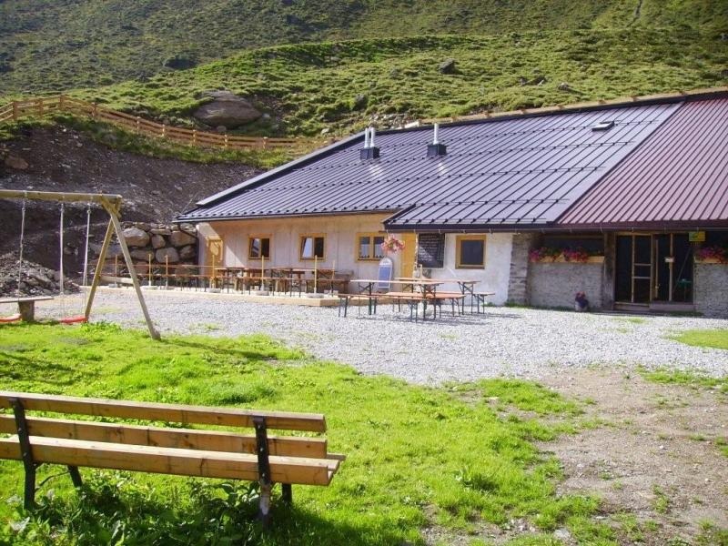
Taschach Alm (1.796 m)
An alpine pasture at 1,796 m in the Taschachtal, on the walk to the Taschachhaus.
Taschachhaus (2.434 m)
An Alpine Club hut at 2,434 m below the Taschachferner, long used as a training base for glacier travel.
Tiefentalalm (1.880 m)
An alpine pasture at 1,880 m in the Tiefental side valley above St. Leonhard.
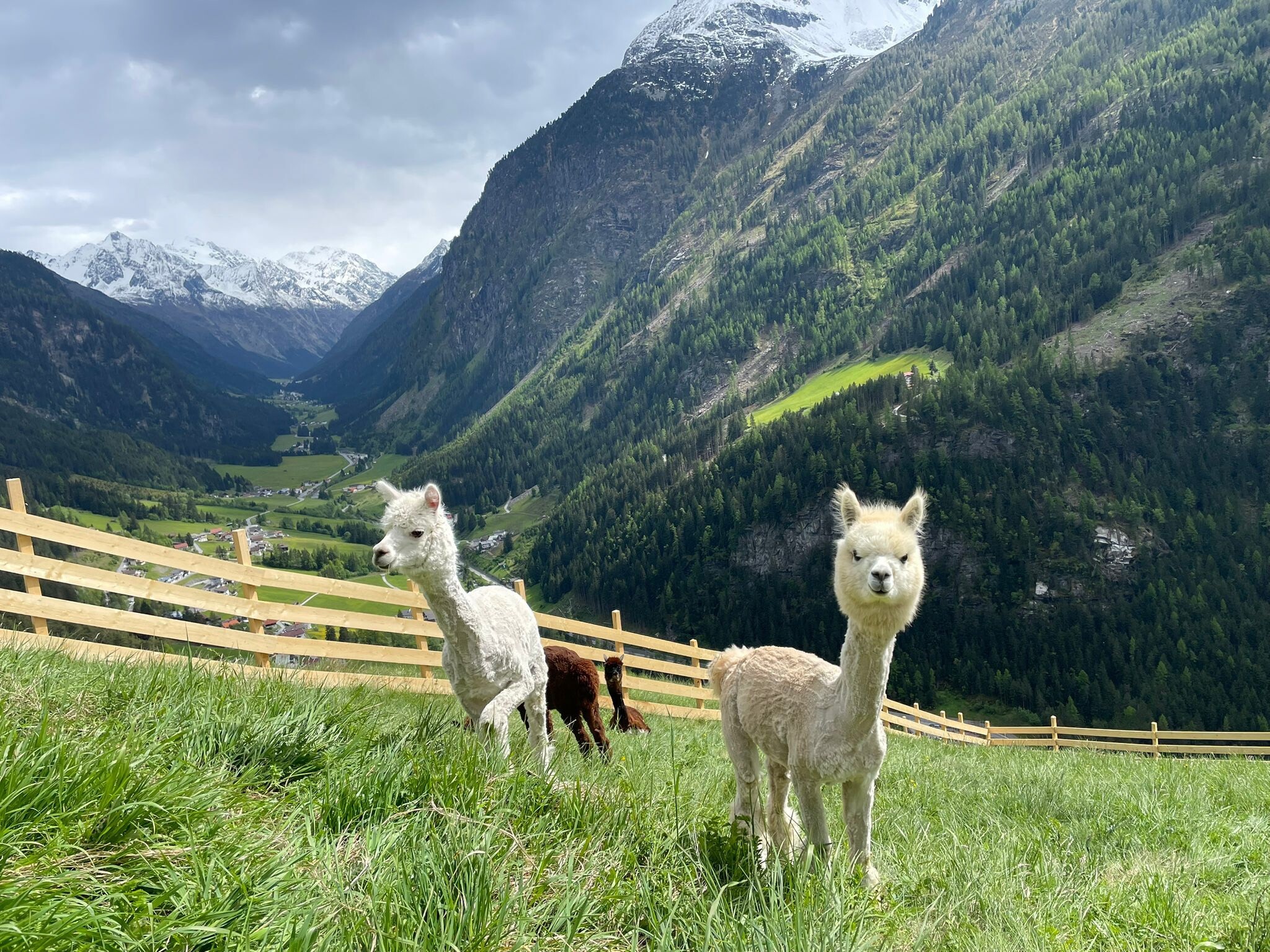
Alpenalpaka Pitztal
A farm above the valley floor offering short walks with alpacas, in groups of no more than six.
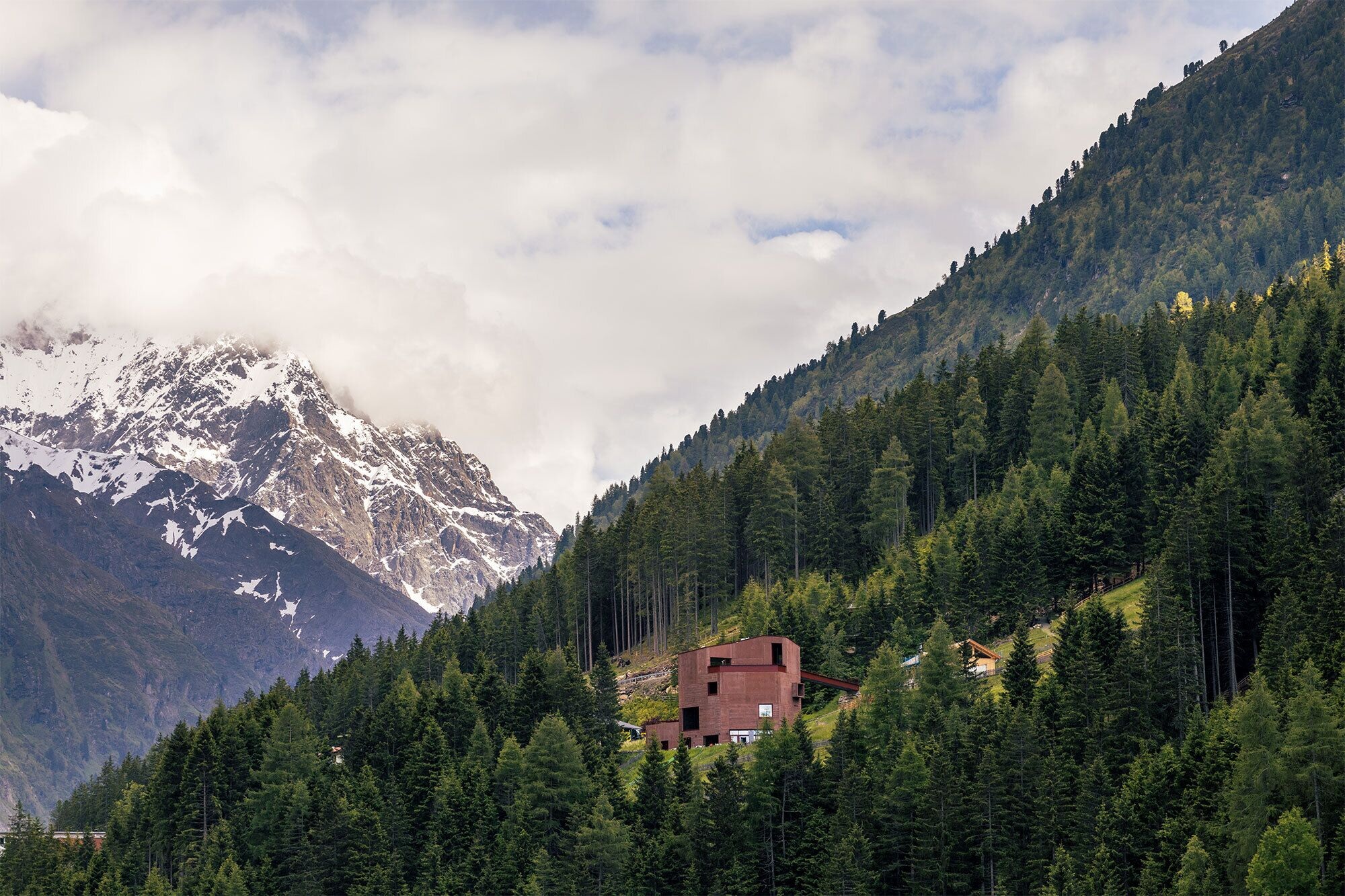
Tiroler Steinbockzentrum
An interpretive centre at St. Leonhard on the ibex of the Pitztal, 65 years after the species was reintroduced here.
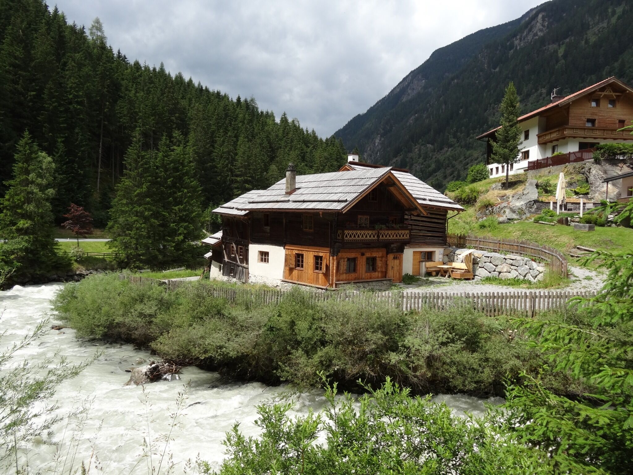
Handwerksmühle Ritzenried
A working craft mill at Ritzenried, one of several restored water mills on the valley's eastern slope.
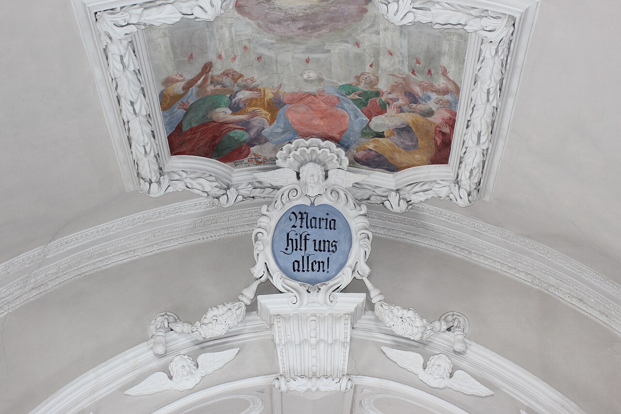
Wallfahrtskirche Maria Hilf
A pilgrimage church above St. Leonhard, long a destination for processions from the valley.
Pfarrkirche zu Unserer Lieben Frau Mariahilf
The parish church of Plangeross at 1,612 m, serving the upper Pitztal hamlets.
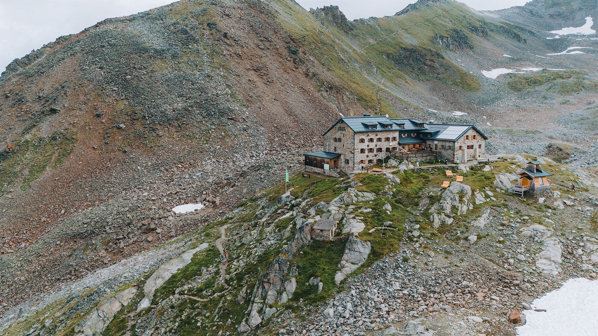
Braunschweiger Hütte (2.759 m)
An Alpine Club hut of 1892 at 2,759 m below the Mittagskogl, on the E5 long-distance path over to the Ötztal.
Nothing of this kind in St. Leonhard im Pitztal.
Routes
50 routes, an even mix of activities · see the rest on pitztal.com ↗
Kletterpark Pitztaler Gletscher - Erlebnisklettersteig
One of several secured routes in the climbing park near the head of the Pitztal above Mittelberg — a moderate introduction to protected climbing, with the Gletscherstube as the natural rest stop.
- 3.5 km
- Distance
- 464 m
- Ascent
- 2 h 18 min
- Duration
- 30
- Check-ins
Kletterpark Pitztaler Gletscher - Steinbocksteig
A cable-secured route of moderate grade in the climbing park near the Pitztal glacier; the approach from Mittelberg passes the Pitzbach weir, and the Gletscherstube serves as base.
- 3.8 km
- Distance
- 536 m
- Ascent
- 2 h 36 min
- Duration
- 30
- Check-ins
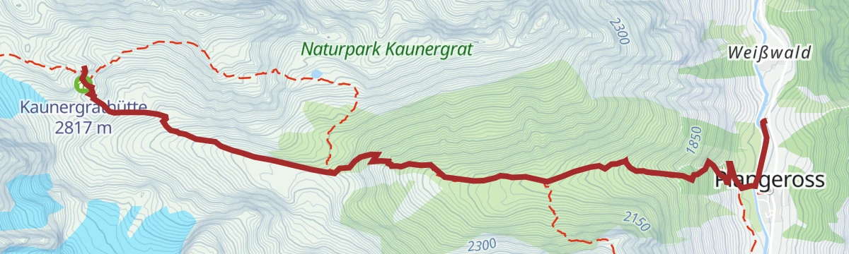
Kaunergrathütte
A long, steep hut climb from Plangeroß past the Plangeroßalm, gaining nearly 1,300 m to the Kaunergrat's high refuge below the Verpeilspitze; secured passages near the top ask for a steady step.
- 6.3 km
- Distance
- 1 279 m
- Ascent
- 5 h 44 min
- Duration
- 9
- Check-ins
Kapellenweg zur Kapelle des weißen Lichts
The shortest outing at the Pitztal glacier: a few minutes' nearly level walk from the mountain station to the Kapelle des weißen Lichts, a chapel standing high among ice and scree.
- 553 m
- Distance
- 15 m
- Ascent
- 10 min
- Duration
- 42
- Check-ins
Über den Gletscher zur Braunschweiger Hütte
From the top of the Gletscherexpress across the margin of the Pitztal glacier to the Braunschweiger Hütte — a high traverse with little climbing, but glacier terrain: check conditions and go properly equipped.
- 9.2 km
- Distance
- 171 m
- Ascent
- 3 h 59 min
- Duration
- 105
- Check-ins
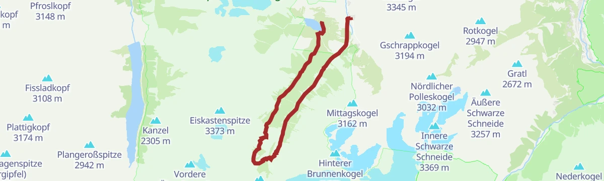
Pitztaler Gletschersteig
A very long high-alpine link between the Rifflsee area and the glacier, passing the Taschachhaus and topping the Hinterer Brunnenkogel at Café 3440 — reserved for enduring, experienced mountain walkers.
- 27.2 km
- Distance
- 386 m
- Ascent
- 8 h 55 min
- Duration
- 108
- Check-ins
Taufkarkogel
Glacier ski tour from Vent via the Stablein piste and the Taufkarferner into the 3,218 m Taufkarjoch, crossing the Mittelbergferner to the Rofenkarjoch and finishing easily up the northwest ridge.
- 7.4 km
- Distance
- 709 m
- Ascent
- 129 m
- Descent
- 2 h 36 min
- Duration
- 22
- Check-ins
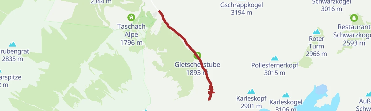
613 | Mittelberg Weg
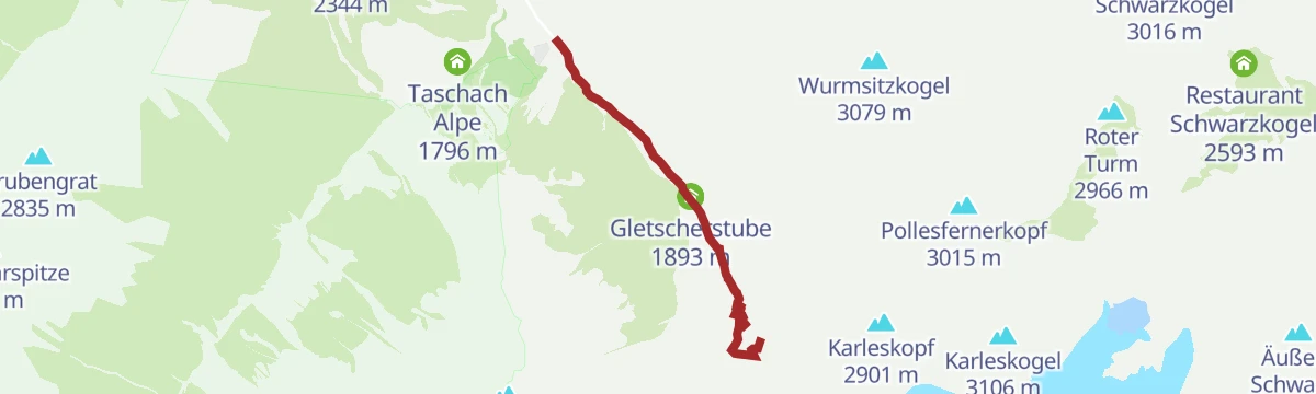
A gentle track ride towards the head of the Pitztal, following the Pitzbach up past its weir to the Gletscherstube at 1,893 m.
- 5.6 km
- Distance
- 346 m
- Ascent
- 47 min
- Duration
- 30
- Check-ins
Taschachhaus
A track ride into the Taschachtal from the head of the Pitztal, past the Gletscherexpress station and the Taschach Alpe to the cableway at 2,043 m.
- 17.3 km
- Distance
- 421 m
- Ascent
- 1 h 56 min
- Duration
- 44
- Check-ins
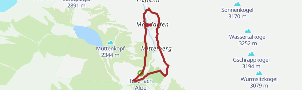
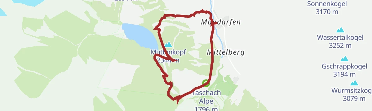
Mandarfner Runde groß
A roomy valley loop around Mandarfen at the head of the Pitztal, passing the Taschach Alpe with glacier peaks overhead — flat enough for an easy afternoon.
- 5.8 km
- Distance
- 166 m
- Ascent
- 1 h 46 min
- Duration
- 36
- Check-ins
Rundwanderung Mittelberg mit Pitztaler Sagensteig (Sagenweg)
A circuit at Mittelberg that folds the Pitztaler Sagensteig, a path devoted to the valley's legends, into a longer round along the Pitzbach — with the Gletscherstube as a handy halfway stop.
- 8.3 km
- Distance
- 287 m
- Ascent
- 2 h 38 min
- Duration
- 66
- Check-ins
Fuldaer Höhenweg
A classic high traverse above the Taschachtal, running from the Rifflsee across flanks and moraine to the Taschachhaus with steady views of the glacier — long, exposed in places, and best saved for stable weather.
- 17.9 km
- Distance
- 466 m
- Ascent
- 5 h 55 min
- Duration
- 71
- Check-ins
682 | Ludwigsburger Hütte/Lehnerjoch
A hard, short climb of nearly 900 m in six kilometres, rising alongside the goods cableway to a mountain hut at 1,935 m.
- 6.0 km
- Distance
- 650 m
- Ascent
- 1 h 3 min
- Duration
- 6
- Check-ins
Graveltour Pitztal Panorama
A long, low-gradient tour along the Pitztal between Arzl and St. Leonhard, with barely 300 m of climbing spread over 40 km.
- 40.2 km
- Distance
- 1 287 m
- Ascent
- 4 h 25 min
- Duration
- 40
- Check-ins
Wanderung zur Taschach Alm
A gentle walk from the Mandarfen area along the Taschach valley floor to a pasture inn beneath the glacier peaks — short, nearly level and well suited to children.
- 3.1 km
- Distance
- 113 m
- Ascent
- 1 h
- Duration
- 36
- Check-ins
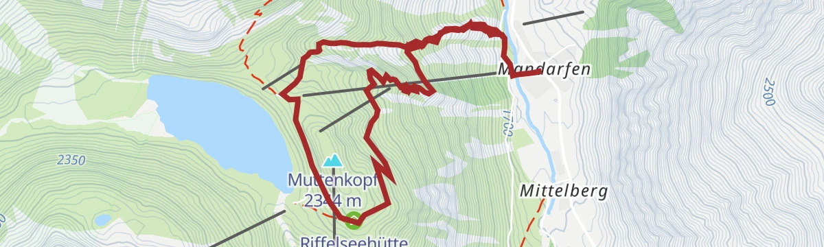
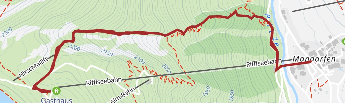
Rundwanderung Taschach Alm 1796m - Riffelseehütte 2293 m – Hirschtal
A round trip from the Taschach Alpe climbing to the hut on the shore of the Rifflsee, then descending through the Hirschtal — a solid half-day with a lake, two huts and open views of the inner Pitztal.
- 7.4 km
- Distance
- 608 m
- Ascent
- 3 h 54 min
- Duration
- 61
- Check-ins
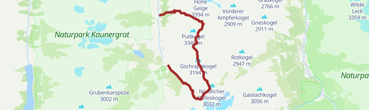
Mittelberg - Braunschweiger Hütte 2759 m - Pitztaler Jöchl 2995 m - Mittelberg
A demanding loop from Mittelberg up the glacier valley to the Braunschweiger Hütte and on to the nearly 3,000 m Pitztaler Jöchl before returning — a big day on the edge of glacier country.
- 13.1 km
- Distance
- 1 294 m
- Ascent
- 7 h 59 min
- Duration
- 71
- Check-ins
600 | Neubergalm
A short, steep forest-road climb out of the Pitztal, 770 m of ascent in five and a half kilometres to an alm at 1,889 m.
- 5.5 km
- Distance
- 585 m
- Ascent
- 57 min
- Duration
- 3
- Check-ins
Pitztal Bike 614
A long valley route running the length of the Pitztal, from the upper hamlets at 1,670 m down past St. Leonhard towards the valley entrance.
- 39.9 km
- Distance
- 290 m
- Ascent
- 4 h 11 min
- Duration
- 40
- Check-ins
Pitztaler Sagensteig (Sagenweg)
An easy legend-themed path near Mittelberg at the head of the Pitztal, looping along the Pitzbach past the weir — the Gletscherstube sits conveniently on the way for refreshment.
- 3.7 km
- Distance
- 161 m
- Ascent
- 1 h 16 min
- Duration
- 30
- Check-ins
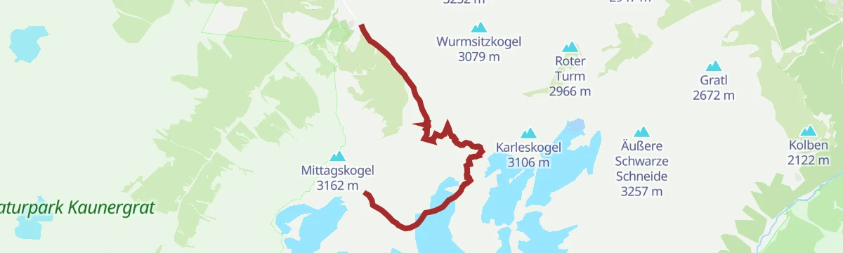
Bergtour zum Mittagskogel von der Bergstation Gletscherexpress
From the Gletscherexpress mountain station a stony high-alpine path gains the Mittagskogel — a moderate summit push with the Pitztal glacier basin and the Wildspitze in view.
- 3.4 km
- Distance
- 289 m
- Ascent
- 1 h 51 min
- Duration
- 53
- Check-ins
Mainzer Höhenweg
One of the tougher marked high routes in the Ötztal Alps: from the Braunschweiger Hütte over the Wassertalkogel and a chain of rocky ridges to the Rüsselsheimer Hütte, with block terrain and few escape options.
- 17.8 km
- Distance
- 2 056 m
- Ascent
- 12 h 5 min
- Duration
- 60
- Check-ins
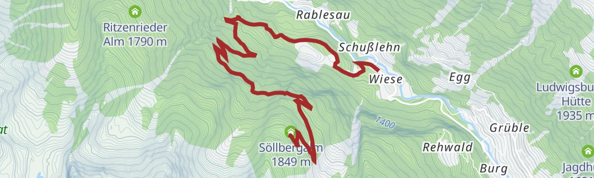
688 | Söllbergalm
A single sustained ascent from the valley road up to grazing land at 1,849 m, with no flat stretch to break the 870 m of climbing.
- 6.5 km
- Distance
- 705 m
- Ascent
- 1 h 9 min
- Duration
6025 | Bike&Hike Taschachhaus
A forest-road ride up the Pitztal to the Taschach Alpe and the goods-lift station at 2,043 m, where the bike is left for the walk to the hut.
- 19.2 km
- Distance
- 735 m
- Ascent
- 2 h 16 min
- Duration
- 36
- Check-ins
Wanderung zur Gletscherstube
An easy walk from Mittelberg up the valley floor past the Pitzbach weir to the hut at the foot of the glacier climb — the standard first leg toward the Braunschweiger Hütte.
- 3.3 km
- Distance
- 160 m
- Ascent
- 1 h 11 min
- Duration
- 30
- Check-ins
Hike Tour: Braunschweiger Hütte
From the Rettenbach glacier road the path crosses rocky ground and scree over the Rettenbachjoch to the Braunschweiger Hütte on the E5 long-distance route — a short but stony climb.
- 4.6 km
- Distance
- 350 m
- Ascent
- 2 h 6 min
- Duration
- 50
- Check-ins
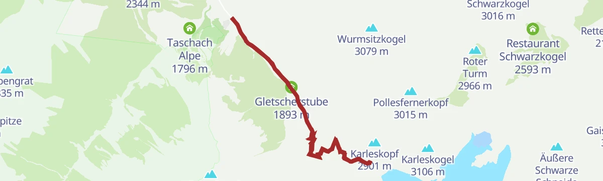
Mittelberg - Braunschweiger Hütte - Karleskopf - Mittelberg
A strenuous round from Mittelberg to the Braunschweiger Hütte with a return over the Karleskopf — adding a quieter high-level descent to the classic hut climb.
- 11.2 km
- Distance
- 1 097 m
- Ascent
- 6 h 47 min
- Duration
- 52
- Check-ins
612 | Fallwandweg-Tiefentalalm
A long forest-road grind above the Pitztal, climbing past the Pfitschebach ice fall to an alm at 1,900 m, with 1,250 m of ascent.
- 10.8 km
- Distance
- 1 038 m
- Ascent
- 2 h 6 min
- Duration
- 11
- Check-ins
Spazierweg Sunna Alm - Riffelseehütte
A nearly level lakeside stroll at the Rifflsee linking the Sunna Alm with the hut on the far shore — a short high-altitude walk straight off the Rifflseebahn.
- 1.6 km
- Distance
- 0 m
- Ascent
- 22 min
- Duration
- 25
- Check-ins
Zwei Seenwanderung (Rifflsee/Plodersee)
A two-lake walk high above the Taschachtal linking the Rifflsee with the small Plodersee on mostly gentle paths — riding the Rifflseebahn up spares the legs for the lakeshores.
- 10.8 km
- Distance
- 256 m
- Ascent
- 3 h 44 min
- Duration
- 49
- Check-ins
Wanderung zur Braunschweiger Hütte
The classic hut climb at the head of the Pitztal: from Mittelberg past the Gletscherstube and up the steep step beside the glacier stream, gaining over 1,000 m to a hut that also serves E5 through-hikers.
- 10.4 km
- Distance
- 1 032 m
- Ascent
- 6 h 22 min
- Duration
- 52
- Check-ins
611 | Arzler Alm
A demanding climb from the valley floor near St. Leonhard, more than 1,000 m of ascent on forest road to a high alm at 1,900 m.
- 8.8 km
- Distance
- 999 m
- Ascent
- 1 h 56 min
- Duration
- 7
- Check-ins
Mandarfner Runde klein
A short, flat village loop around Mandarfen — river, meadows and the Tourismusinfo along the way; an easy leg-stretcher between bigger mountain days.
- 3.0 km
- Distance
- 29 m
- Ascent
- 47 min
- Duration
- 20
- Check-ins
Rundwanderung Hirschtal - Panoramasteig
A loop combining the Hirschtal with the Panoramasteig above the Rifflsee slopes — moderate climbing, a possible hut stop at the Riffelseehütte, and long views down the Pitztal.
- 6.9 km
- Distance
- 619 m
- Ascent
- 3 h 54 min
- Duration
- 45
- Check-ins
Herbstliches Hochtal – das Taschachtal
An autumn outing into the Taschachtal: from the Taschach Alpe the valley path climbs steadily toward the Riffelseehütte high ground, larch colour below and glaciated peaks ahead — a long, steady day.
- 13.4 km
- Distance
- 711 m
- Ascent
- 5 h 7 min
- Duration
- 51
- Check-ins
Kneippanlage
An easy circuit along the floor of the Pitztal around St. Leonhard, with barely 340 m of climbing over fifteen kilometres.
- 15.6 km
- Distance
- 227 m
- Ascent
- 1 h 36 min
- Duration
- 4
- Check-ins
Skulpturenweg
A level stroll on the valley floor near Mandarfen lined with carved sculptures — an art walk that suits prams, poor-weather days and tired legs alike.
- 2.8 km
- Distance
- 33 m
- Ascent
- 44 min
- Duration
- 20
- Check-ins
Talwanderung von Mittelberg nach Stillebach
A valley-floor traverse down the inner Pitztal from Mittelberg to Stillebach, following the river with almost no climbing; the bus back turns it into a relaxed one-way walk.
- 10.9 km
- Distance
- 0 m
- Ascent
- 2 h 51 min
- Duration
- 32
- Check-ins
Wanderung zum Brandkogel
A demanding ascent from the Taschach side to the Brandkogel, climbing through pasture and increasingly rocky slopes to a solitary summit overlooking the inner Pitztal.
- 11.2 km
- Distance
- 980 m
- Ascent
- 6 h 10 min
- Duration
- 38
- Check-ins
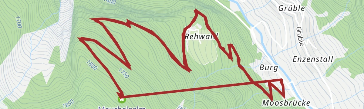
681 | Mauchele Alm
A steep forest-road climb above the Pitztal, more than 1,200 m of ascent past the Unterwelt crag to an alm at 1,840 m.
- 9.8 km
- Distance
- 1 147 m
- Ascent
- 2 h 12 min
- Duration
- 1
- Check-ins
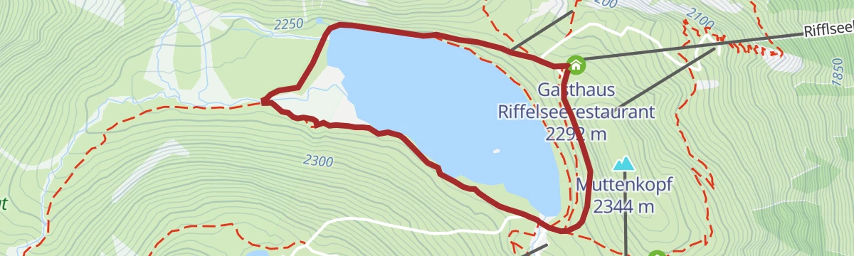
Rifflsee Rundwanderweg
Easy 3 km loop right around the Rifflsee, reached by the gondola from Mandarfen, with a restaurant at the shore.
- 3.0 km
- Distance
- 46 m
- Ascent
- 49 min
- Duration
- 10
- Check-ins
Übers Hirschtal zur Sunna Alm
A 634 m climb up the Hirschtal side valley to the Sunna Alm high above St. Leonhard im Pitztal.
- 4.8 km
- Distance
- 615 m
- Ascent
- 3 h 38 min
- Duration
- 30
- Check-ins
Mittelstation - Kreuzjöchlspitz zum Schafhimmel – Ludwigsburger Hütte - Zaunhof
A long ridge day from the Hochzeiger mid-station over the Kreuzjöchlspitze to the Schafhimmel, dropping past the Lehnerjoch and the Grosssee to the Ludwigsburger Hütte and down to Zaunhof.
- 15.3 km
- Distance
- 1 059 m
- Ascent
- 8 h 33 min
- Duration
- 32
- Check-ins
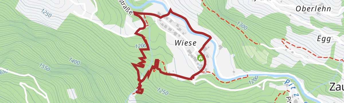
Talwanderung von Jerzens nach St. Leonhard (Wiese)
An easy valley walk of 6.4 km from Jerzens to St. Leonhard, passing the community power station.
- 6.4 km
- Distance
- 235 m
- Ascent
- 2 h
- Duration
- 3
- Check-ins
2) Almenrunde
Circuit of 10.8 km linking three Pitztal pastures, the Tiefentalalm, Arzler Alm and Neubergalm, with 780 m of climbing.
- 10.8 km
- Distance
- 758 m
- Ascent
- 5 h 3 min
- Duration
- 25
- Check-ins
Mittelstation - Gemeindekopf - Tiroler Jubiläumsweg - Zaunhof
From the Hochzeiger mid-station over the Hoher Gemeindekopf, then along the Tiroler Jubiläumsweg past the Kugleter See and the Ludwigsburger Hütte before the long descent to Zaunhof.
- 12.7 km
- Distance
- 928 m
- Ascent
- 7 h 28 min
- Duration
- 30
- Check-ins
 Hochzeiger 2 561 m
- Hoher Gemeindekopf 2 771 m
 Zeigerrestaurant 2 022 m
- Ludwigsburger Hütte 1 935 m
 Kugleter See 2 590 m
- Grosssee 2 416 m
1) Söllberg Wasserfall
Short 2.3 km there-and-back walk to the waterfall below the Söllberg, with 151 m of climb.
- 2.3 km
- Distance
- 120 m
- Ascent
- 53 min
- Duration
2) Pitztaler Almenweg
Shorter run of the Pitztal pasture path, 7.8 km with 609 m of climb linking the Arzler Alm and the Tiefentalalm.
- 7.8 km
- Distance
- 573 m
- Ascent
- 3 h 47 min
- Duration
- 22
- Check-ins
Cottbuser Höhenweg
High traverse of 13.7 km from the Rifflsee side to the Kaunergrathütte and down to Plangeroß, with over 1,100 m of climbing on rough ground.
- 13.7 km
- Distance
- 972 m
- Ascent
- 7 h 44 min
- Duration
- 25
- Check-ins
2) Alois Gabl - Weg
Easy 4.6 km path on the valley slopes at St. Leonhard im Pitztal with only 164 m of climb, enough for a relaxed half-day.
- 4.6 km
- Distance
- 143 m
- Ascent
- 1 h 26 min
- Duration
No routes of this kind in St. Leonhard im Pitztal yet.
The region's own picks
Featured route
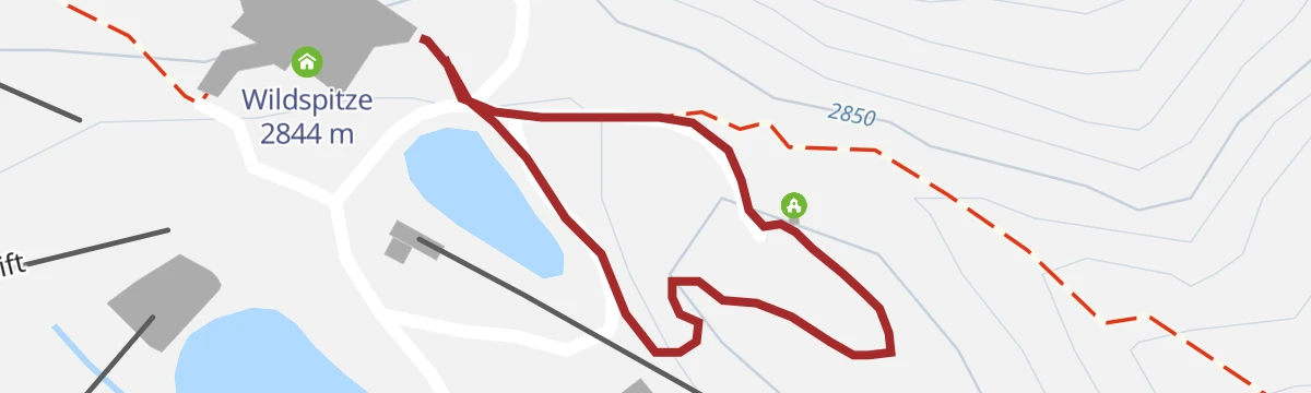
Kapellenweg zur Kapelle des weißen Lichts
The shortest outing at the Pitztal glacier: a few minutes' nearly level walk from the mountain station to the Kapelle des weißen Lichts, a chapel standing high among ice and scree.
Protected areas
 Naturpark
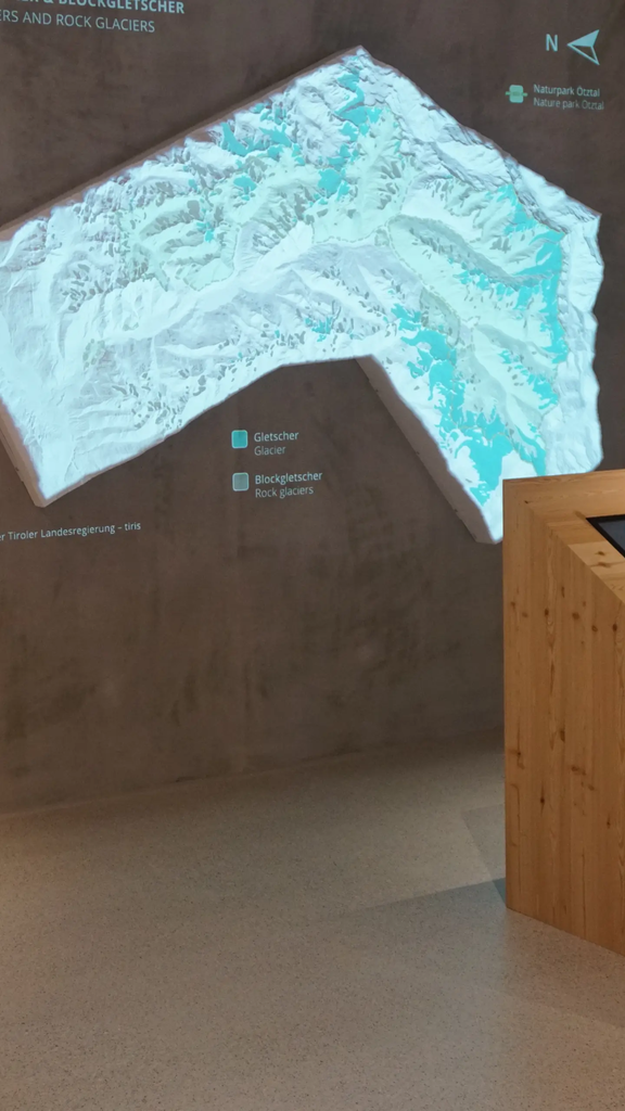
Naturpark Ötztal
Tirol's second-largest nature park, declared in 2009 and covering 510 km² of the upper Ötztal, including 67 glaciers and about 95 km² of ice.
Planning a trip to St. Leonhard im Pitztal?
Everything else Tyrol has, in one place


Take St. Leonhard im Pitztal with you into the mountains
Every route on this page with 3D terrain, GPX navigation and offline maps — including the valleys with no signal.
Data sources
- Official website: pitztal.com ↗
- Routes and highlights: Tourismusverband Pitztal, Ötztal Tourismus, Imst Tourismus
- Published as open data by the tourist boards named above.
- Region summary generated from the board's own material.
