
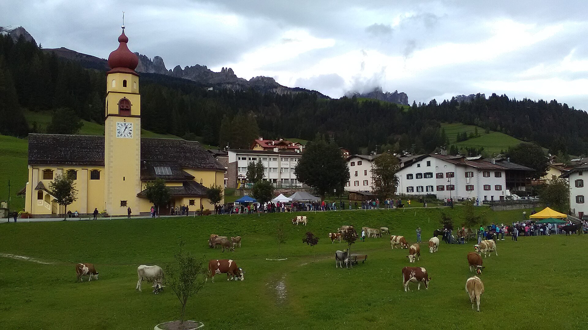
Curated by APT Val di Fassa
Soraga di Fassa
The lowest Ladin village of the Val di Fassa on the Avisio, between Moena and Vigo.
Photo: Holapaco77 · CC BY-SA 4.0 licence
- 1Highlights
- 29Routes
Highlights
14 from neighbouring places
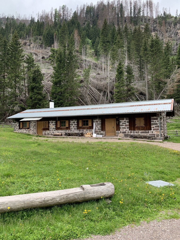
Rifugio Fuciade
A refuge in the Fuciade basin below the Passo San Pellegrino, in the comune of Soraga di Fassa, under the Cima Uomo.
Baita M. Pederiva
4.3 km away, in San Giovanni di Fassa-Sèn Jan
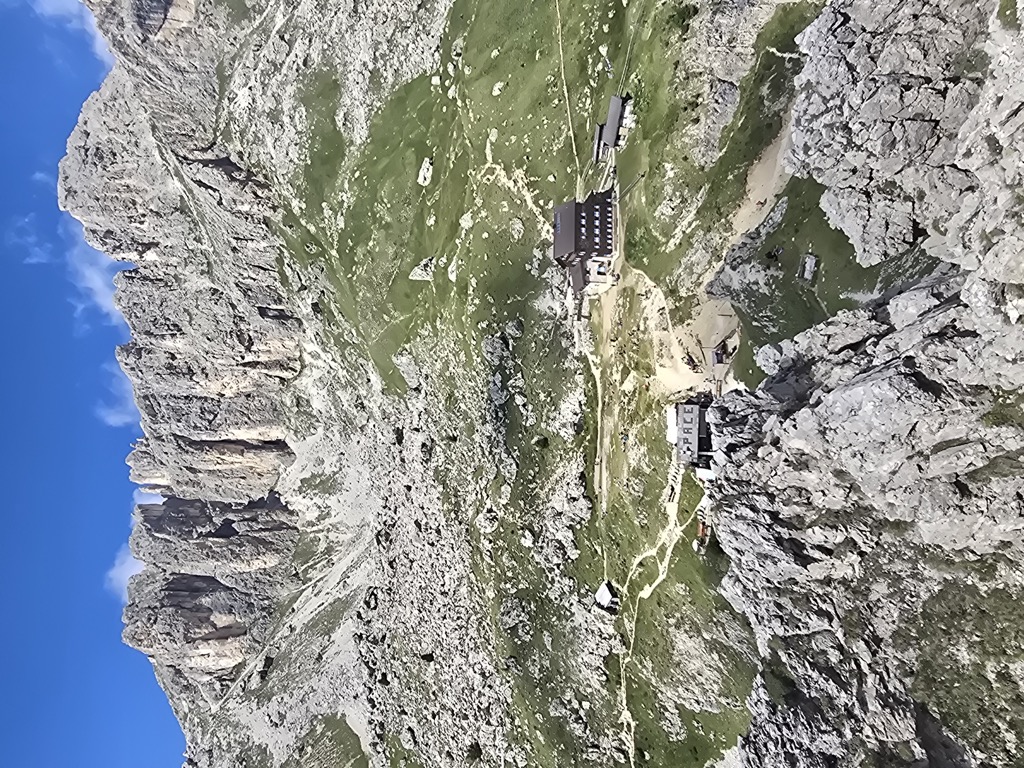
A small hut at 2,280 m in the heart of the Catinaccio, run by the Pederiva family for generations and a base for walks and climbs of every grade.
Sterzing, Pfitsch und FreienfeldRifugio Paolina
5 km away, in San Giovanni di Fassa-Sèn Jan
A hut at 2,125 m in the Carezza area below the Roda di Vael, with a wide terrace and a stage of the Dolomites World Heritage Geotrail passing by.
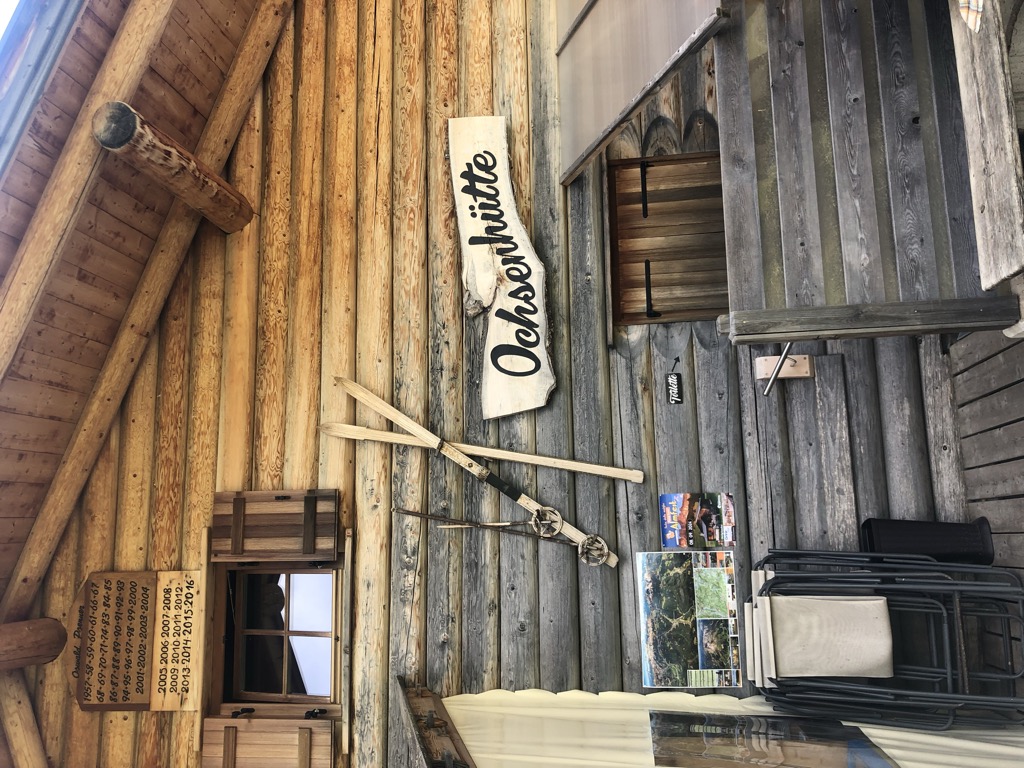
Malga Ochsenhütte
7.3 km away, in Nova Levante/Welschnofen
A pasture hut in the woods above Nova Levante, in the Val d'Ega.
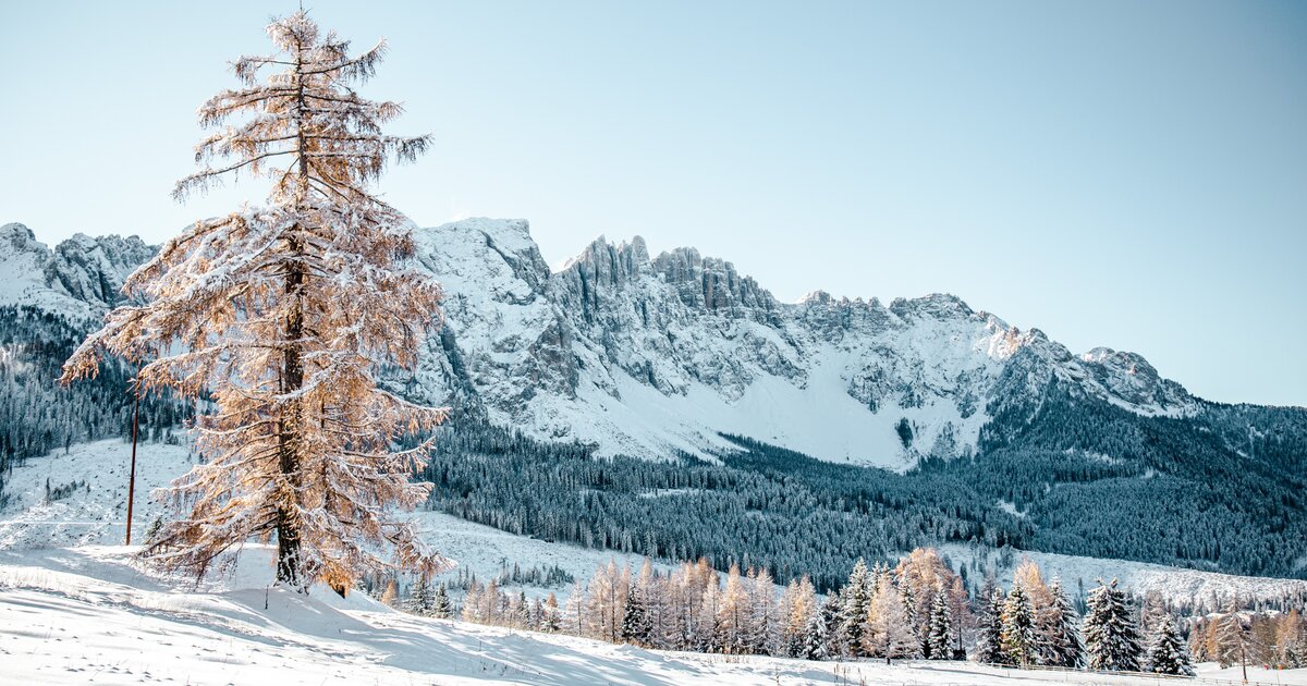
Sterzing, Pfitsch und FreienfeldCatinaccio
7.8 km away, in Tires/Tiers
The dolomite massif of the Catinaccio, or Rosengarten, seen from Tires in the Val d'Ega; its walls redden in the evening light.
rifugio Passo Santner
8.1 km away, in Tires/Tiers
A hut at 2,734 m at the Passo Santner in the Catinaccio, at the top of the via ferrata over the pass above Tires.
Rifugio Re Alberto 1°
8.2 km away, in Tires/Tiers
A hut at 2,621 m in the Catinaccio group, known in German as the Gartlhütte and reached by the Passo Santner via ferrata from Pera di Fassa.
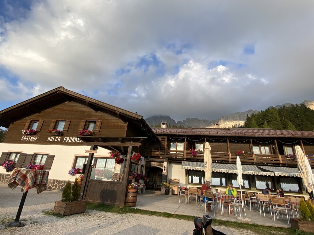
Albergo Malga Frommer
8.4 km away, in Nova Levante/Welschnofen
A dairy hut with rooms on the Frommer pastures above Nova Levante, in the Val d'Ega between the Catinaccio and the Latemar.
Baita Gardoné – The Mountain Riviera
9.2 km away, in Predazzo
A baita on the Gardonè shelf above Predazzo, at the foot of the Latemar and reached by the cable car from the valley.
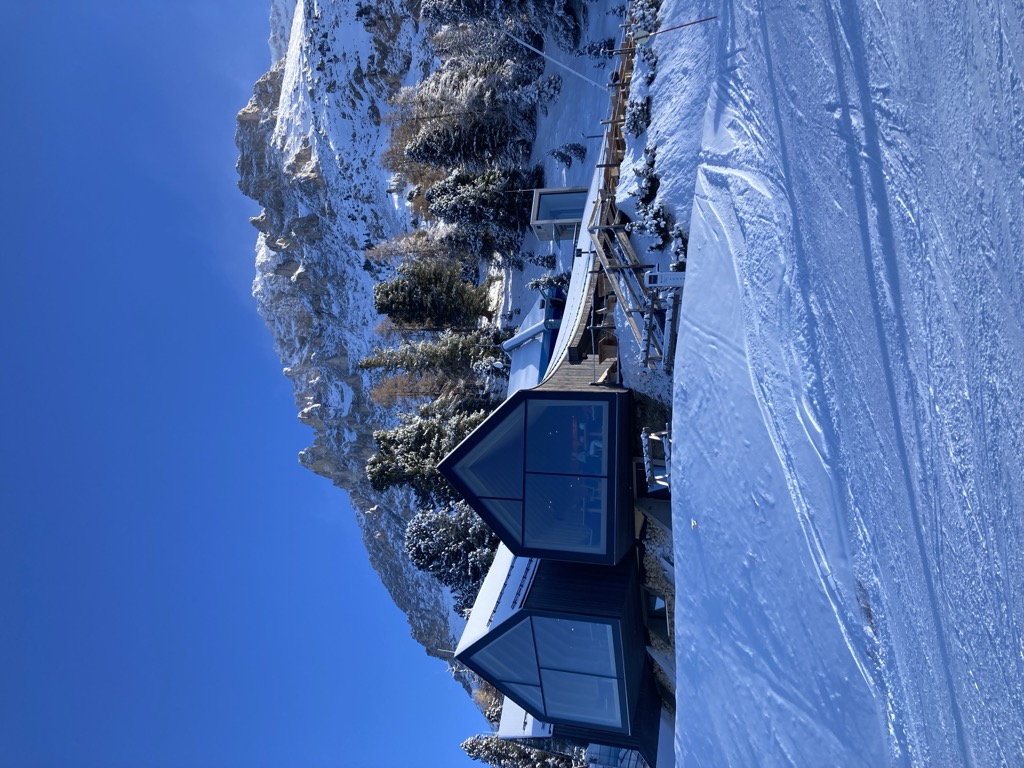
Rifugio Oberholz
10.1 km away, in Nova Ponente/Deutschnofen
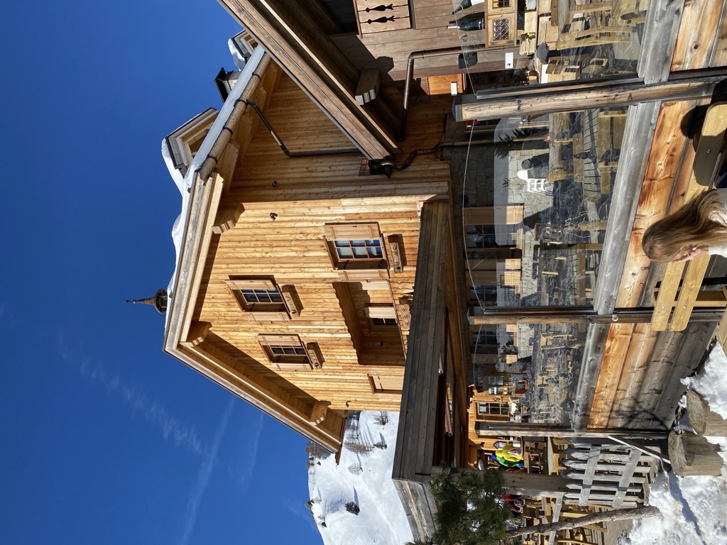
A timber-and-glass mountain hut above Obereggen, at the top of the chairlift below the Latemar, in the comune of Nova Ponente.
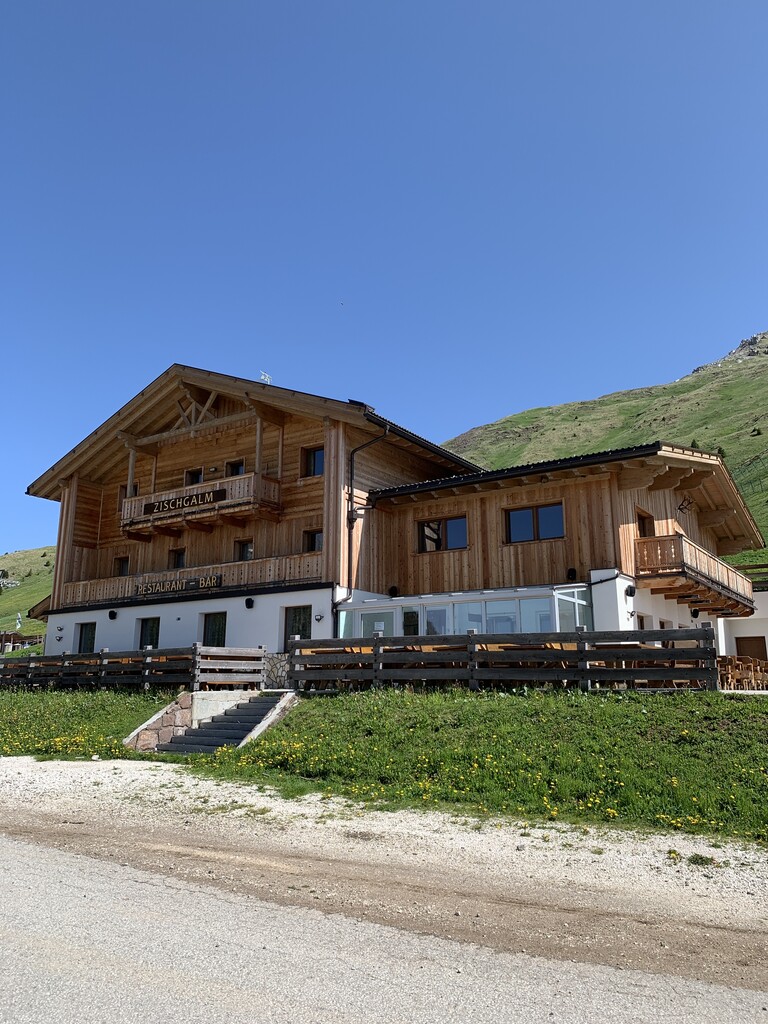
Malga Zischgalm
10.6 km away, in Nova Ponente/Deutschnofen
A pasture hut above Nova Ponente, reached on foot from the Obereggen side of the Val d'Ega.
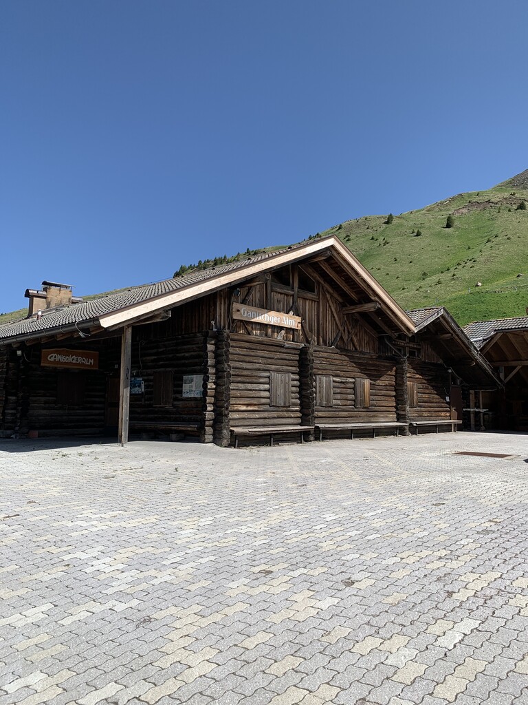
Malga Ganischger – The Mountain Party
10.6 km away, in Nova Ponente/Deutschnofen
A dairy hut on the pastures above Nova Ponente, near Obereggen at the foot of the Latemar.
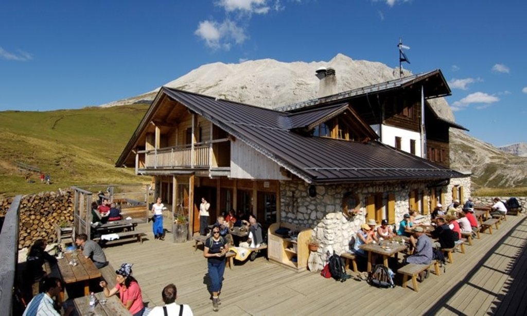
Rifugio Sasso Piatto
12.5 km away, in Campitello di Fassa
A hut at 2,300 m under the Sasso Piatto on the Campitello di Fassa side of the Sassolungo, its kitchen built on South Tyrolean dishes and home-smoked speck.
DolomitiMalga Valmaggiore
12.6 km away, in Predazzo
A dairy hut at the head of the Val Travignolo above Predazzo, a base for the walks and climbs on the Lagorai side.
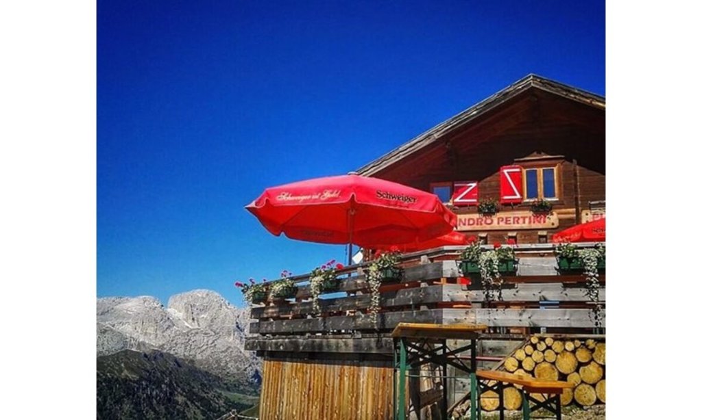
Rifugio Sandro Pertini
12.7 km away, in Campitello di Fassa
A hut at 2,300 m on the open meadows below the Sassolungo, 40 minutes from the Col Rodella top station and on the Alta Via delle Dolomiti n. 9.
 Viewpoint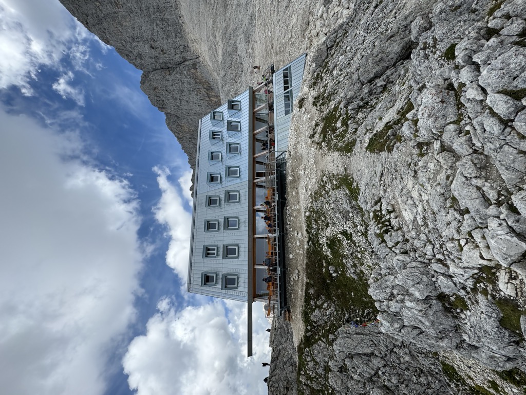
Nothing of this kind in Soraga di Fassa.
Routes
San Pellegrino Pass - Fuciade - San Pellegrino Pass
From the San Pellegrino pass down to the Fuciade meadows and back, below the Pale di San Martino.
- 6.9 km
- Distance
- 85 m
- Ascent
- 1 h 49 min
- Duration
- 271
- Check-ins
 Rifugio Fuciade 1 982 m
- Rifugio Albergo Miralago 1 920 m
 Lago di Pozze 1 914 m
- Bait del Jager 1 965 m
- Fior da Mont 1 968 m
Open route APT Val di FassaSan Pellegrino Pass - Fuciade - Val Fredda - Malga Boer - San Pellegrino Pass
A loop from the San Pellegrino pass into the Fuciade basin, a limestone amphitheatre under the Sas de Valfreida, returning by Val Fredda and Malga Boer.
- 11.0 km
- Distance
- 377 m
- Ascent
- 3 h 32 min
- Duration
- 361
- Check-ins
- Rifugio Fuciade 1 982 m
- Chalet Isabella 1 914 m
- Rifugio Albergo Miralago 1 920 m
- Rifugio Flora Alpina 1 802 m
- Lago di Pozze 1 914 m
- Bait del Jager 1 965 m
- +2
Open route APT Val di FassaTorrente Avisio A - Val di Fassa
A long route up the Avisio through the Fassa valley, from Soraga towards the head of the valley.
- 25.0 km
- Distance
- 911 m
- Ascent
- 7 h 21 min
- Duration
- 115
- Check-ins
Open route Trentino Fishing423 Sciliar-Catinaccio Ronda in senso orario
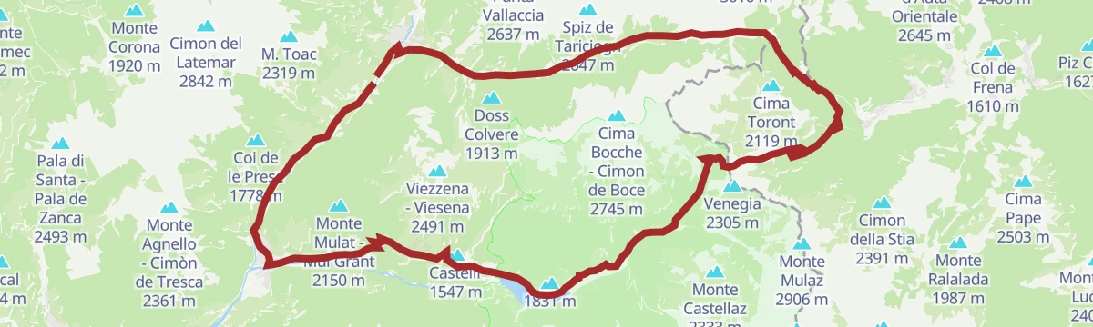
A big circumnavigation of the Sciliar and Catinaccio massifs, crossing the Passo Duron and touching the Val di Fassa and the Val d'Ega.
- 79.4 km
- Distance
- 2 524 m
- Ascent
- 9 h 26 min
- Duration
- 768
- Check-ins
- Rifugio Micheluzzi 1 860 m
- Baita Lino Brach 1 867 m
- Baita Fraines 1 609 m
 Jëuf da Duron - Mahlknechtjoch - Passo Duron 2 204 m
- Edelweiss Hütte 2 042 m
- Mahlknecht Hütte - Rifugio Molignon 2 059 m
- +37
Open route Seis am SchlernSan Pellegrino - San Pellegrino Bike Tour
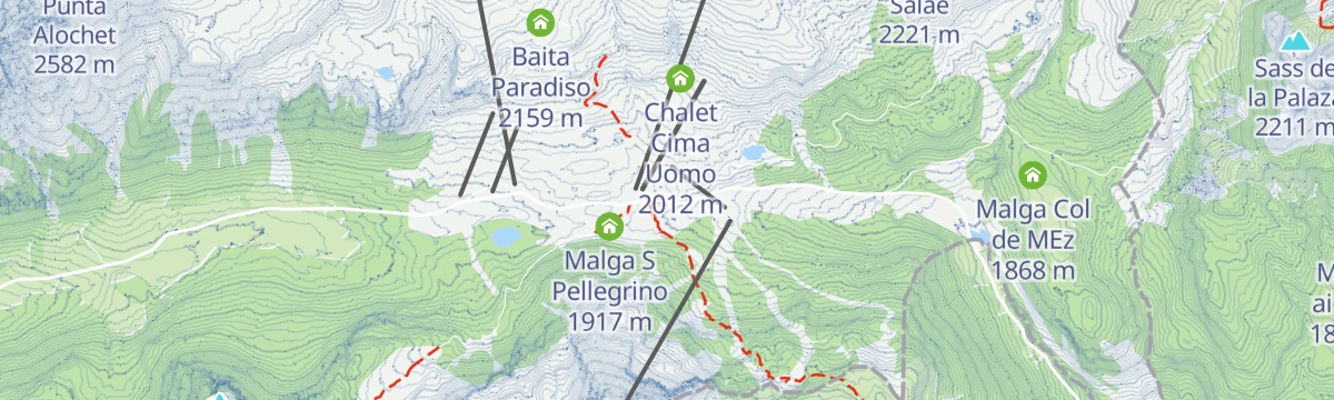
A chairlift-assisted ride from the pass, on stony dirt road to Baita Paradiso and then a military mule track over Val Tegnosa towards Fuciade.
- 11.8 km
- Distance
- 580 m
- Ascent
- 1 h 37 min
- Duration
- 368
- Check-ins
- Rifugio Fuciade 1 982 m
- Baita Paradiso 2 159 m
- Passo San Pellegrino 1 918 m
- Chalet Isabella 1 914 m
- Snow thrill 1 907 m
- Bait del Jager 1 965 m
- +2
Open route APT Val di FassaSellaronda
The four-pass Dolomite circuit ridden from Predazzo, over Passo Pordoi, the Sella Pass and the Gardena Pass around the Sella massif.
- 116.2 km
- Distance
- 2 555 m
- Ascent
- 12 h 43 min
- Duration
- 2454
- Check-ins
 Val Dantermont 1 728 m
- Jouf de Pordoi - Passo Pordoi - Pordoijoch 2 239 m
- Gardena Pass 2 121 m
- Bar Funivia 2 240 m
- L'Angolino del Sella 2 179 m
- In Sella 2 182 m
- +44
Open route APT Fiemme CembraBacino Pozze C
A very short walk to the Pozze basin above Soraga in the Val di Fassa.
- 464 m
- Distance
- 10 m
- Ascent
- 8 min
- Duration
- 71
- Check-ins
Open route Trentino FishingOn the way to the red rock canyon in Soraga
A climb from the Soraga square to the hamlet of Barbide and its church, above the red Permian sandstone the torrents have cut open, fossils and all.
- 5.4 km
- Distance
- 371 m
- Ascent
- 2 h 28 min
- Duration
Open route APT Val di FassaPozza - Soraga - Pociace - Pozza
A round from Pozza south to Soraga, then up a steep forest road on trail 639 through woods and clearings above the valley.
- 15.9 km
- Distance
- 522 m
- Ascent
- 5 h
- Duration
- 110
- Check-ins
Open route APT Val di FassaPozza di Fassa - Tesero - Pampeago Pass - Ponte Nova - Costalunga/Carezza Pass - Pozza di Fassa
A road loop south to Tesero, then the hard climb to Pampeago and back over the Passo di Costalunga by the Karer See.
- 72.7 km
- Distance
- 2 083 m
- Ascent
- 8 h 25 min
- Duration
- 857
- Check-ins
- Karer See - Lago di Carezza 1 533 m
- Passo di Costalunga - Karerpass 1 745 m
- Bar & Imbiss Kareesee 1 559 m
- Antermont 1 759 m
- Baita della Scofa 2 006 m
- Zischgalm 2 010 m
- +31
Open route APT Val di FassaLago di Pezzè D
A short walk around the Pezzè lake on the Avisio below Soraga di Fassa.
- 772 m
- Distance
- 11 m
- Ascent
- 12 min
- Duration
- 23
- Check-ins
Moena - Passo Costalunga - Soraga - Moena
A long circuit from Moena up the Costalongia stream to the Costalunga pass, over the red erosion ground of Terre Rosse, returning by way of Soraga.
- 19.3 km
- Distance
- 560 m
- Ascent
- 5 h 54 min
- Duration
- 20
- Check-ins
Open route APT Val di FassaMarmolada Tour
A long road circuit from Predazzo over Passo San Pellegrino and up Passo Fedaia, whose final ramps run into double-digit gradients.
- 105.6 km
- Distance
- 2 679 m
- Ascent
- 11 h 54 min
- Duration
- 780
- Check-ins
- Rifugio Marmolada Castiglioni 2 055 m
- Passo Fedaia 2 057 m
- Rifugio Fedaia 2 057 m
- Passo San Pellegrino 1 918 m
- Chalet Isabella 1 914 m
- Azienda Turistica 1 307 m
- +27
Open route APT Fiemme CembraOn the borders of the princedoms of Trento and Brixen
A walk at Soraga along the Rif del Termen, once the line between the bishoprics of Trento and Bressanone, marked by boundary stone four of 1551.
- 5.1 km
- Distance
- 293 m
- Ascent
- 2 h 4 min
- Duration
- 12
- Check-ins
Open route APT Val di FassaSoraga - Costalunga Pass - Moena - Soraga
A long circuit from Soraga up by Agritur Soreie and Larcione to the Costalunga pass, returning through Moena.
- 18.3 km
- Distance
- 550 m
- Ascent
- 5 h 39 min
- Duration
- 20
- Check-ins
Open route APT Val di FassaPozza di Fassa - Moena - San Pellegrino Pass - Cencenighe - Caprile - Fedaia Pass - Canazei - Pozza di Fassa
A long road circuit from Pozza di Fassa over the San Pellegrino pass, returning across the Fedaia below the Marmolada.
- 88.1 km
- Distance
- 2 276 m
- Ascent
- 9 h 58 min
- Duration
- 761
- Check-ins
- Rifugio Marmolada Castiglioni 2 055 m
- Passo Fedaia 2 057 m
- Rifugio Fedaia 2 057 m
- Passo San Pellegrino 1 918 m
- Chalet Isabella 1 914 m
- Azienda Turistica 1 307 m
- +24
Open route APT Val di FassaWhere water has marked history
An easy walk along both banks of the river at Moena, following the Ladin woodcarving tradition that the valley's legends fed.
- 4.8 km
- Distance
- 121 m
- Ascent
- 1 h 25 min
- Duration
- 12
- Check-ins
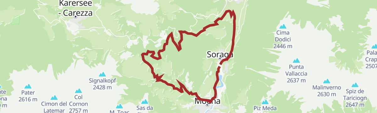
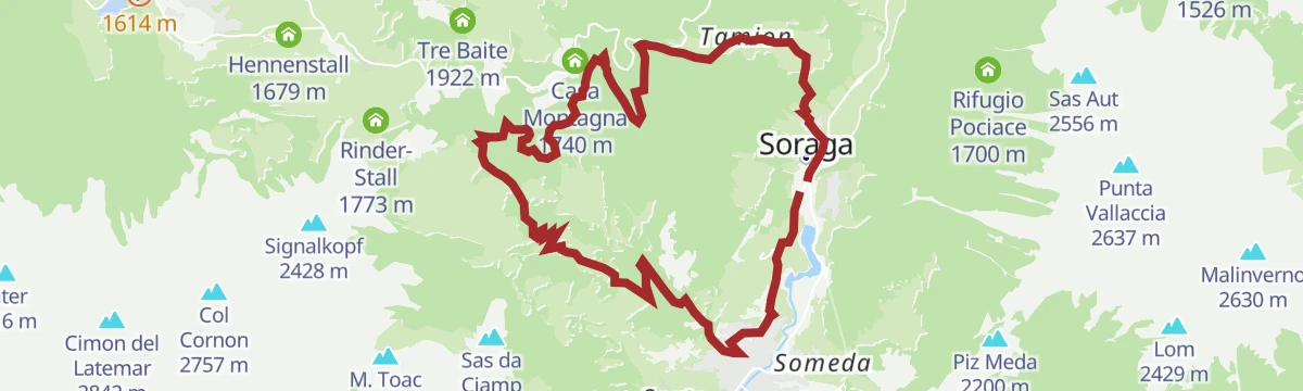
Open route APT Val di FassaSoraga - Tamion - Costa Bergousa - Malga Roncac - Palua - Soraga
A long loop from Soraga by Barbida and the red Gardena sandstone crag, on through Tamion and Costa Bergousa to Malga Roncac and Palua.
- 16.0 km
- Distance
- 585 m
- Ascent
- 5 h 12 min
- Duration
- 18
- Check-ins
Open route APT Val di FassaRoad Bike Alleghe 2 - Marmolada Loop
A road circuit from Alleghe right around the Marmolada, crossing Passo Fedaia and Passo San Pellegrino to join Agordino to the Val di Fassa.
- 88.5 km
- Distance
- 2 124 m
- Ascent
- 9 h 52 min
- Duration
- 761
- Check-ins
- Rifugio Marmolada Castiglioni 2 055 m
- Passo Fedaia 2 057 m
- Rifugio Fedaia 2 057 m
- Passo San Pellegrino 1 918 m
- Chalet Isabella 1 914 m
- Azienda Turistica 1 307 m
- +24
Open route Consorzio Operatori Turistici Alleghe - CaprileBacino Pezzè B
A short level walk around the Pezzè basin between Soraga and Moena.
- 1.3 km
- Distance
- 11 m
- Ascent
- 20 min
- Duration
Paneveggio loop - Route n°5 - Falcade Bike Trail
A lift-assisted loop from Molino to the Rifugio Laresei, down to the Passo Valles and round by Paneveggio.
- 47.3 km
- Distance
- 1 125 m
- Ascent
- 5 h 37 min
- Duration
- 619
- Check-ins
- Passo Valles 2 032 m
- Rifugio Capanna Passo Valles 2 037 m
- Rifugio Laresei 2 260 m
- Passo San Pellegrino 1 918 m
- Chalet Isabella 1 914 m
- Rifugio Albergo Miralago 1 920 m
- +24
Open route Falcade DolomitiLatemar Tour
A long road circuit of the Latemar, over the Passo di Costalunga past the Lago di Carezza and back across the Passo di Lavazè.
- 74.4 km
- Distance
- 2 039 m
- Ascent
- 8 h 31 min
- Duration
- 603
- Check-ins
- Karer See - Lago di Carezza 1 533 m
- Passo di Costalunga - Karerpass 1 745 m
- Bar & Imbiss Kareesee 1 559 m
- Antermont 1 759 m
- Passo di Lavazè 1 807 m
- GolfHotel 1 754 m
- +24
Open route APT Fiemme CembraSan Pellegrino Bike Trail - Route n°7 - Falcade Bike Trail
A ride from Molino by lift to 2,200 m, then over Col Margherita and down past the Fuciade hut.
- 29.6 km
- Distance
- 1 996 m
- Ascent
- 5 h 6 min
- Duration
- 503
- Check-ins
- Rifugio Fuciade 1 982 m
- Rifugio Laresei 2 260 m
- Baita Paradiso 2 159 m
- Passo San Pellegrino 1 918 m
- Chalet Isabella 1 914 m
- Rifugio Flora Alpina 1 802 m
- +7
Open route Falcade DolomitiMoena - San Pellegrino Pass - Valles Pass - Predazzo - Moena
A two-pass road loop that opens with the SS346 climb past Ronchi, crosses over to Paneveggio and returns down the valley road.
- 55.1 km
- Distance
- 1 723 m
- Ascent
- 6 h 31 min
- Duration
- 417
- Check-ins
- Passo Valles 2 032 m
- Rifugio Capanna Passo Valles 2 037 m
- Passo San Pellegrino 1 918 m
- Chalet Isabella 1 914 m
- Snow thrill 1 907 m
- Malga Vallazza 1 947 m
- +20
Open route APT Val di FassaTour San Pellegrino - Valles
A two-pass road loop from Predazzo, climbing 11 km at close to 7% on the first and dropping steeply past Malga Vallazza on the second.
- 56.6 km
- Distance
- 1 642 m
- Ascent
- 6 h 34 min
- Duration
- 405
- Check-ins
- Passo Valles 2 032 m
- Rifugio Capanna Passo Valles 2 037 m
- Passo San Pellegrino 1 918 m
- Chalet Isabella 1 914 m
- Snow thrill 1 907 m
- Malga Vallazza 1 947 m
- +18
Open route APT Fiemme CembraFiemme and Fassa Dolomites cycle route
A surfaced valley cycle path linking the Val di Fiemme with the Val di Fassa, running up to Canazei with a summer bike shuttle.
- 47.4 km
- Distance
- 710 m
- Ascent
- 4 h 38 min
- Duration
- 281
- Check-ins
- Baita Al Parco 1 438 m
- Azienda Turistica 1 307 m
- Park Hotel Faloria 1 453 m
- Ufficio Turistico APT Fassa 1 374 m
- Baita Ischia 1 412 m
- Bici Grill Moena 1 147 m
- +7
Open route APT Fiemme CembraFalcade - Alleghe Bike Tour : tour intervallivo tra i più bei panorami, i boschi e i borghi delle Dolomiti
A valley-to-valley Dolomite tour from the Molino lifts up to Cima Pradazzo and Col Margherita, then down by cable car and dirt road towards Somor.
- 64.5 km
- Distance
- 2 694 m
- Ascent
- 8 h 16 min
- Duration
- 274
- Check-ins
- Rifugio Laresei 2 260 m
- Rifugio Flora Alpina 1 802 m
- Le Buse 1 900 m
- Alla Caminada 970 m
- Water inlet for Ghirlo powerplant 971 m
- Pizzeria Al Fornel 934 m
- +11
Open route Falcade DolomitiDolomites Cycle & Footpath in the Fiemme and Fassa Valleys
A nearly level path for bikes and walkers between the Fiemme and Fassa valleys, through meadow, forest and village.
- 49.1 km
- Distance
- 27 m
- Ascent
- 4 h 37 min
- Duration
- 244
- Check-ins
- Baita Al Parco 1 438 m
- Azienda Turistica 1 307 m
- Park Hotel Faloria 1 453 m
- Bici Grill Moena 1 147 m
- Pensione Villa Paola 1 484 m
- Maso Rosè 1 249 m
- +6
Open route APT Val di FassaFalcade - San Pellegrino Bike Tour
A shared-use route from the pass down to Rifugio Flora Alpina, then on mule track CAI 694 through the woods to the hamlet of Somor.
- 21.5 km
- Distance
- 1 527 m
- Ascent
- 3 h 50 min
- Duration
- 159
- Check-ins
- Rifugio Laresei 2 260 m
- Rifugio Flora Alpina 1 802 m
- Le Buse 1 900 m
- Malga Boer 1 813 m
- Gigio Picol 1 900 m
- Ristorante Ipiza 1 215 m
- +1
Open route APT Val di Fassa








No routes of this kind in Soraga di Fassa yet.
Planning a trip to Soraga di Fassa?
Everything else Trentino-Alto Adige/Südtirol has, in one place


Take Soraga di Fassa with you into the mountains
Every route on this page with 3D terrain, GPX navigation and offline maps — including the valleys with no signal.
Data sources
- Official website: fassa.com ↗
- Routes and highlights: APT Val di Fassa, Sterzing, Pfitsch und Freienfeld, APT Fiemme Cembra, YesAlps, Falcade Dolomiti, Trentino Fishing, Visit Trentino, Dolomiti, Seis am Schlern, Consorzio Operatori Turistici Alleghe - Caprile
- Published as open data by the tourist boards named above.
- Region summary generated from the board's own material.
