
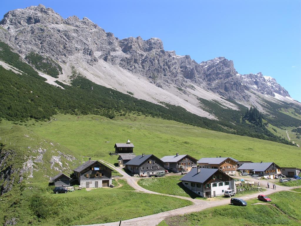
 Mountain hut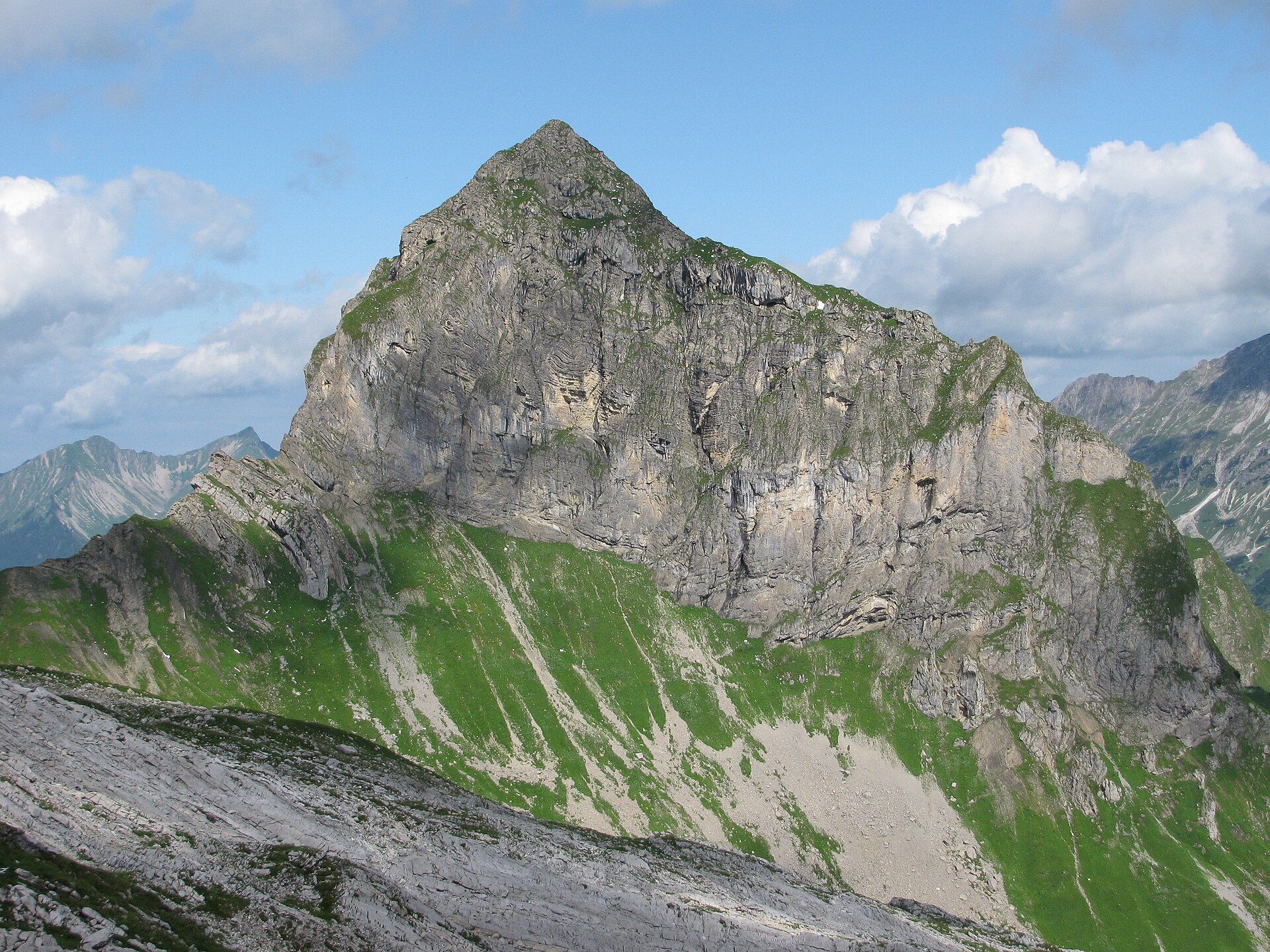
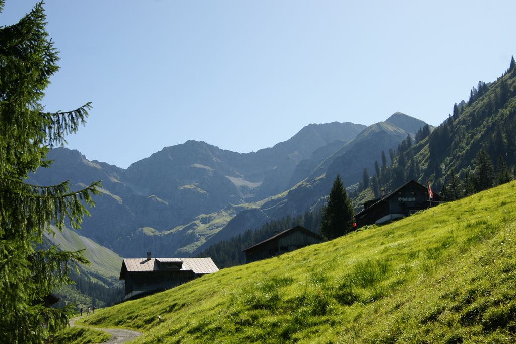
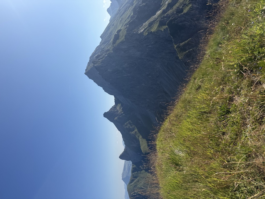
 Mountain pass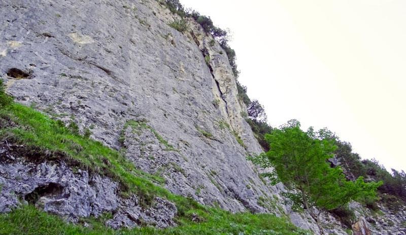
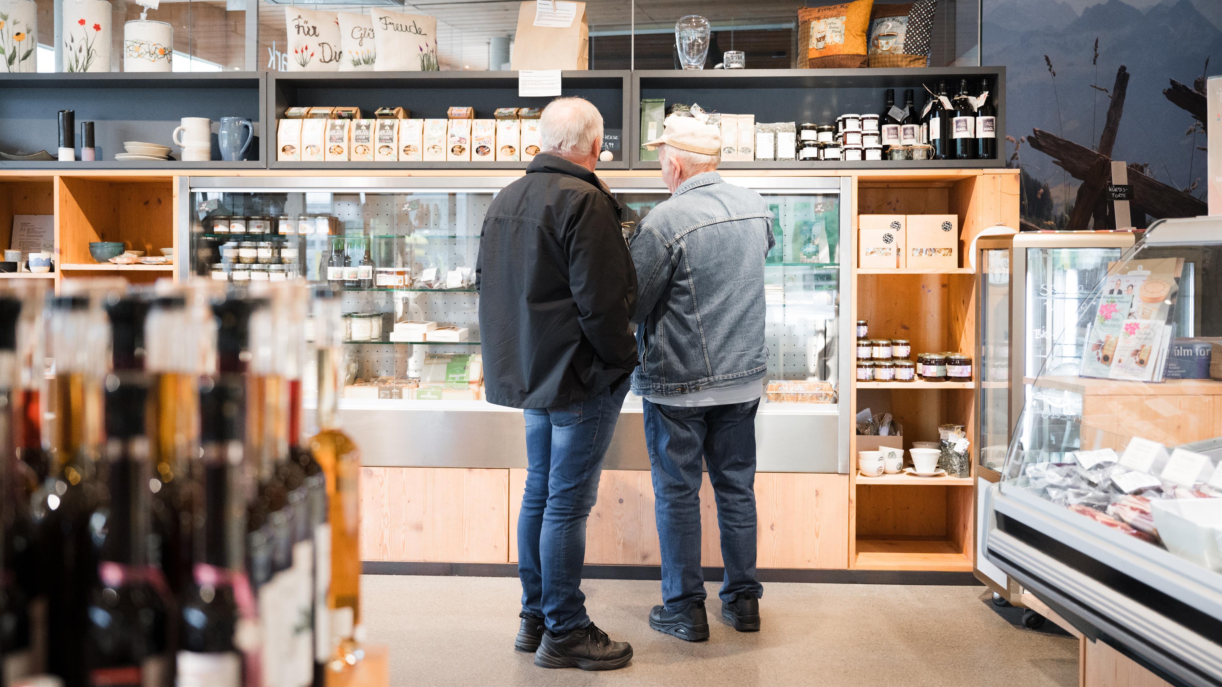
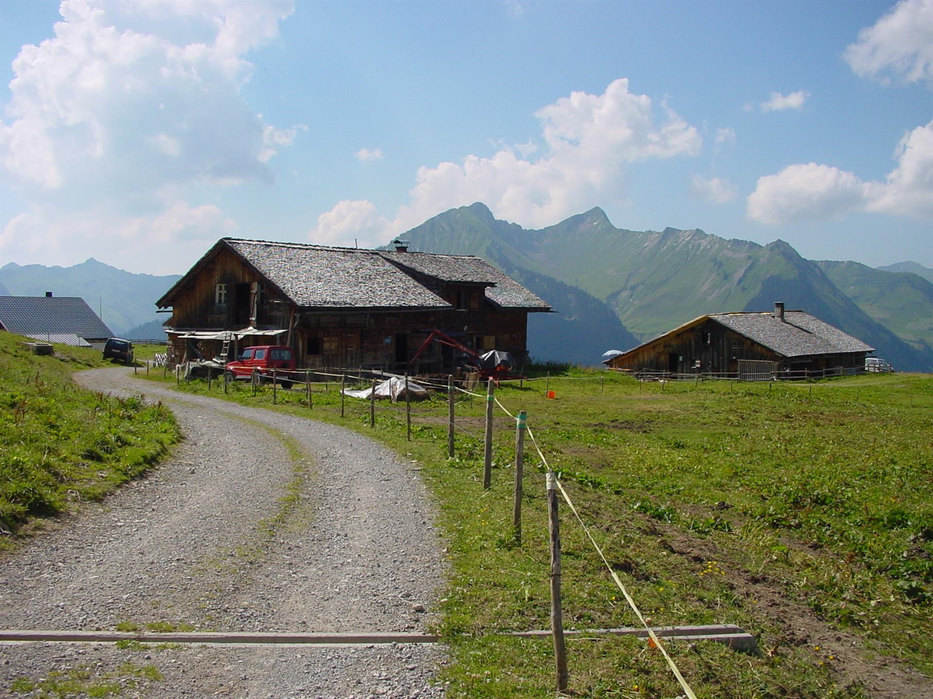
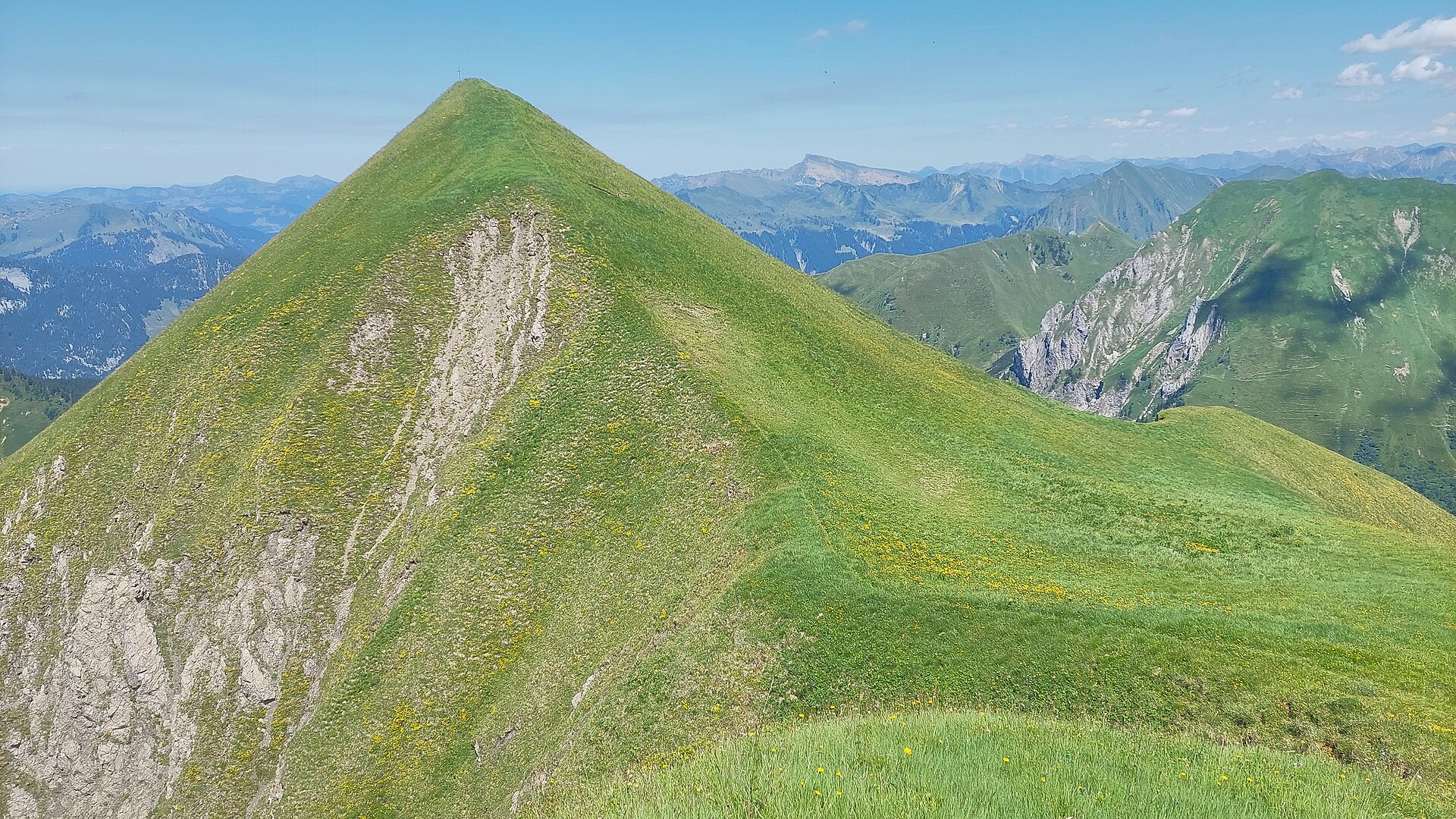






 Summit
Hochkünzelspitze
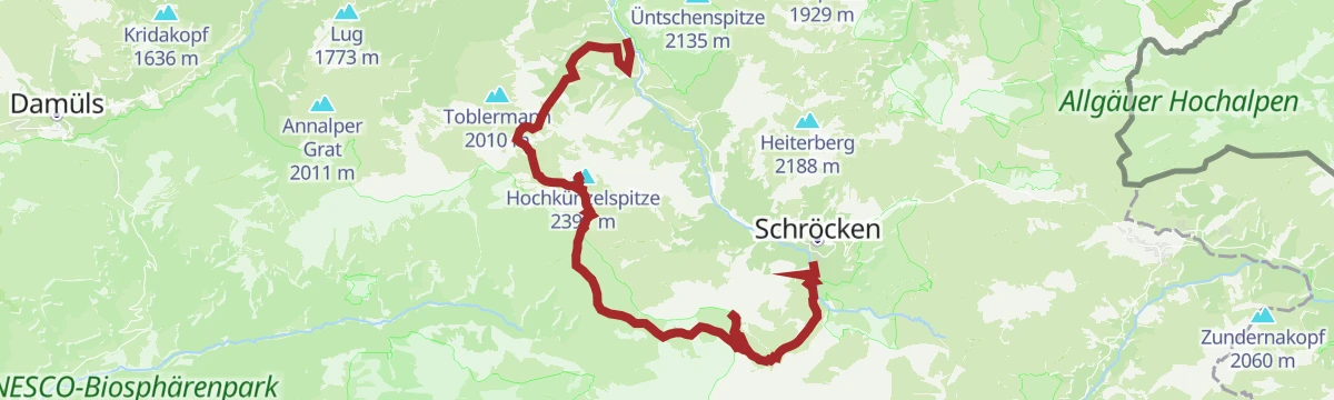
via Warth | Schoppernau | Gipfeltour Hochkünzelspitze und Hochberg mit Übernachtung auf der Biberacher Hütte
Curated by Alpenregion Vorarlberg
Scattered Walser settlements on the sunny side of the Großes Walsertal, with a small cable car climbing to the alp terrace of Stein.
4 from neighbouring places
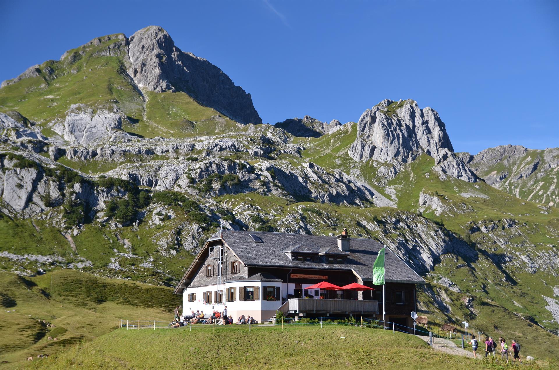
A staffed alp high in the biosphere reserve, and an overnight stop on the two-day round.
A summit of the Lechquellen mountains on the ground of Sonntag.
A 2,403 m summit some 4.5 km south of the village, the highest point of the ridge that closes the valley head.
One of the two summits on the round from Faschina, above the Blasenka.
A 2,262 m rock top about 5 km south-east of the village, at the far end of the same ridge.
A summit in the ridge north of the Rote Wand, with a name the valley never troubled to prettify.
A 2,314 m top on the same high ridge, standing about 700 m from the Glattecker.
A high saddle on the crossing from Faschina to Buchboden, one of the hardest walks here.
The climbing garden on the Wandfluh at Sonntag-Stein, beside the via ferrata.
The visitor centre of the UNESCO biosphere reserve, and the place to understand what the core zones protect.
The lower of the two Partnom alps, on the mountain-bike round from Marul down to Sonntag.
4.7 km away, in Au
A 2,201 m grass summit under 4 km south of the village, the nearest of the ridge tops to the valley.
4.7 km away, in Fontanella
The alp on the south side of the Zafernhorn, passed on the round of the peak.
5 km away, in Raggal
The broad summit the geographic centre point of Vorarlberg lies under.
5.1 km away, in Dalaas
The most striking mountain of the Lechquellen range and, after the Untere Wildgrubenspitze, its second-highest.
Nothing of this kind in Sonntag.
A well-built via ferrata at grade C on the Wandfluh, above Sonntag-Stein.
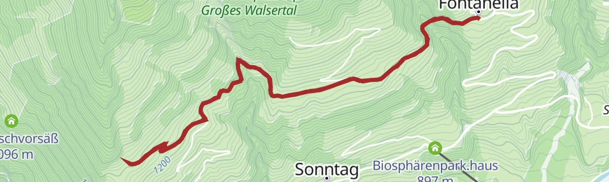
A winter walk on the cleared road out to the Mittelberg and Türtsch hamlets of Fontanella.
The climb to the Klesenzaalpe, first day of the biosphere-reserve round.
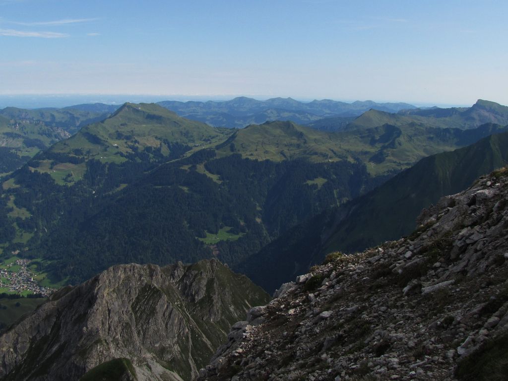
A two-day outing from Vorderhopfreben over the 2,397 m Hochkünzelspitze to a night at the Biberacher Hütte, then across the Fürggele to the Hochberg and down to Schröcken.
A ski tour from Buchboden to Zitterklapfen, 1,463 m of climbing in 5.3 km to a high point of 2,383 m.
From Buchboden at 884 m, 1,382 m of ascent over 7.5 km to Bettlerspitze.
A big bike-and-hike day from Schröcken via the Auenfeld and Lech, over the Formarinjoch, with the peak itself reached on foot.
One of the best rides in the valley, past the Laguz and the two Partnom alps and down to Sonntag.
The second day of the Klesenzaalpe round, the long descent back to Marul.
Crossing from Schröcken over the Fürggele, the day's high point, then under the Hochberg to the Biberacher Hütte and down to Landsteg, where a bus runs back.
From Partnunalpe at 1,578 m, 6.9 km and 856 m of climbing to Lusgrind at 2,277 m.
Bratschenkopf from Buchboden: 1,167 m of climbing in 10.4 km, topping out at 2,036 m.
A huge bike-and-hike day around Schröcken, over the Mohnensattel and Salobersattel and past the Biberacher Hütte, with over 4,000 m of climbing.
Alp to alp by mountain bike, a full circle around the geographic centre point of Vorarlberg.
A walk to the Glattmar at 1,930 m, with an alp to stop at on the way round.
Shortened take on the Seven Summits route, topping out on the 2,324 m Hochberg before the Sattelkopf, the Biberacher Hütte and the walk back beside the Bregenzerache.
1,573 m on skis from Buchboden to Misthaufen, 9.2 km with its high point at 2,430 m.
The two-day version, opening with a ride to the Schadonapass and Biberacher Hütte and three tops taken on foot from the Braunarlscharte.
A long day out of the village: ride over the Auenfeldsattel towards Oberlech, then walk to the 2,704 m Rote Wand.
A round over the alp meadows with three tasting stops of the valley's own produce.
Two days in the Große Walsertal biosphere reserve with a night at the Klesenzaalpe.
Third stage, climbing to the Schadonapass and the Biberacher Hütte, then walking three summits before the descent past the Schadonaalpe.
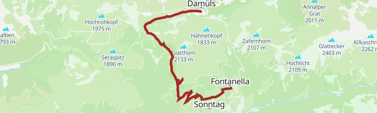
From Fontanella by the Türtschalpe and the Alpe Unterdamüls across to the church village of Damüls.
The first day up from Buchboden to the Biberacher Hütte.
From Fontanella over the Türtschalpe, an open alp meadow with wide views, and down to the church village of Damüls.
The high middle day between the Biberacher and the Göppinger huts, the whole stage above 1,800 m.
The steep first day out of Buchboden to the Göppinger Hütte.
The last day of the three-day round, dropping from the Freiburger Hütte back to Buchboden.
The second day of a three-day hut traverse of the Schadona area in the Lechquellen mountains.
A high round by the Metzgertobel, the valley of many waterfalls, ending at the Kessischlucht — a natural monument since 1992.
The Breithorn at 2,081 m, for sure-footed walkers, at the heart of the biosphere reserve.
Over the Hochschere Fürkele to Buchboden — among the most demanding walks in the Große Walsertal.
A summit round to the Wangspitze through the Gadental, the core zone of the biosphere reserve.
A circuit from the church square in Schröcken down to the Bregenzerache, then up to the Schadona and the Fürggele.
The historic Walserweg: before there were roads in the Große Walsertal, these footpaths were what joined the villages.
A round from Buchboden to the Wangspitze at 1,873 m and on into the Gadental core zone.
No routes of this kind in Sonntag yet.
Summit
via Warth | Schoppernau | Gipfeltour Hochkünzelspitze und Hochberg mit Übernachtung auf der Biberacher Hütte
Featured route
A winter walk on the cleared road out to the Mittelberg and Türtsch hamlets of Fontanella.
Everything else Vorarlberg has, in one place
Every route on this page with 3D terrain, GPX navigation and offline maps — including the valleys with no signal.


