
 Cable car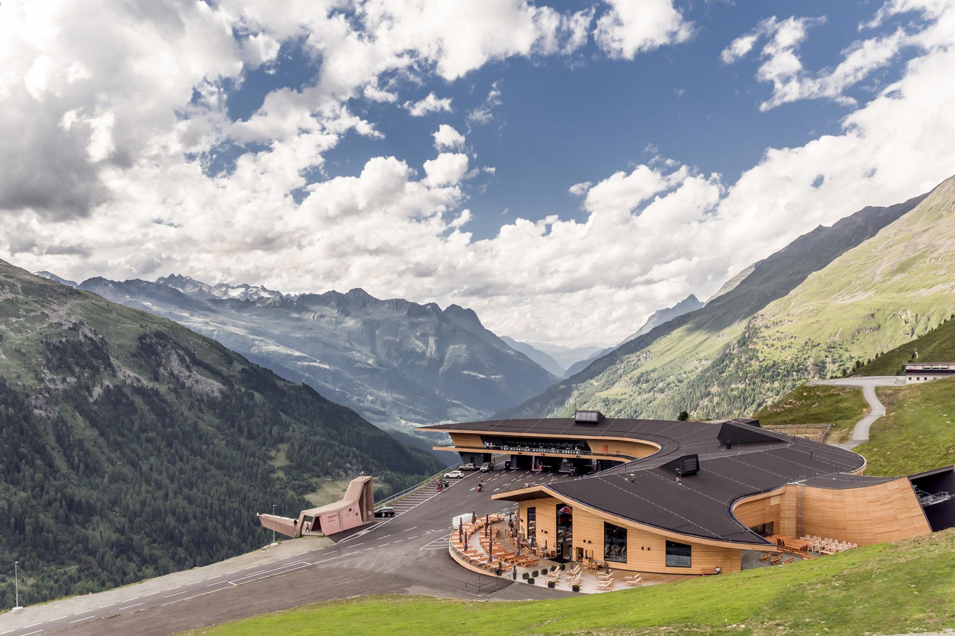
 Viewpoint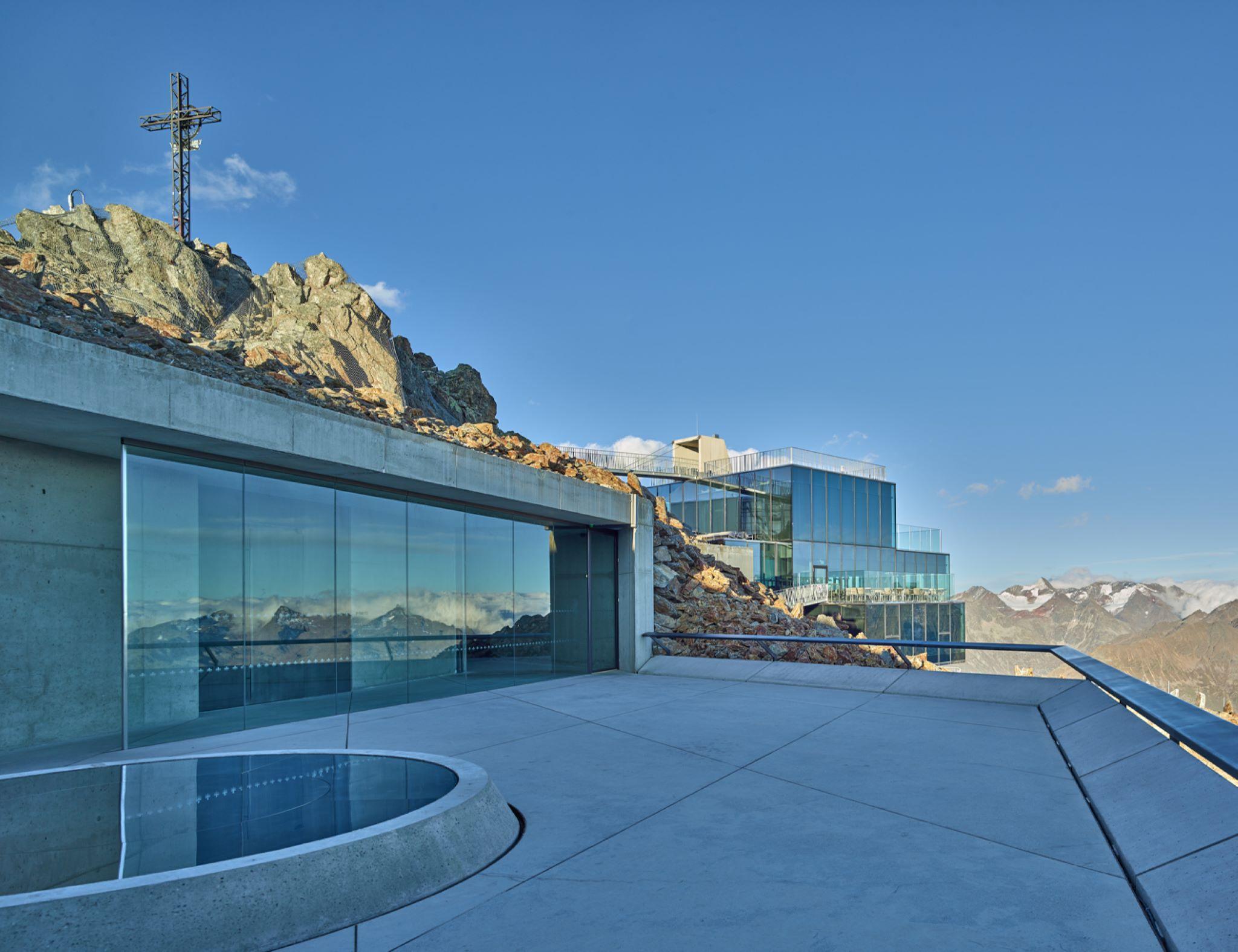






Curated by Ötztal Tourismus
Sölden
Deep in the rear Ötztal at 1368 m, a former mountain-farming village turned major winter-sports resort, with Obergurgl and Vent higher up toward the glaciers.
- 107Highlights
- 299Routes
- Featured summit · Wildspitze
Highlights
The 20 highest-rated · see the rest on oetztal.com ↗
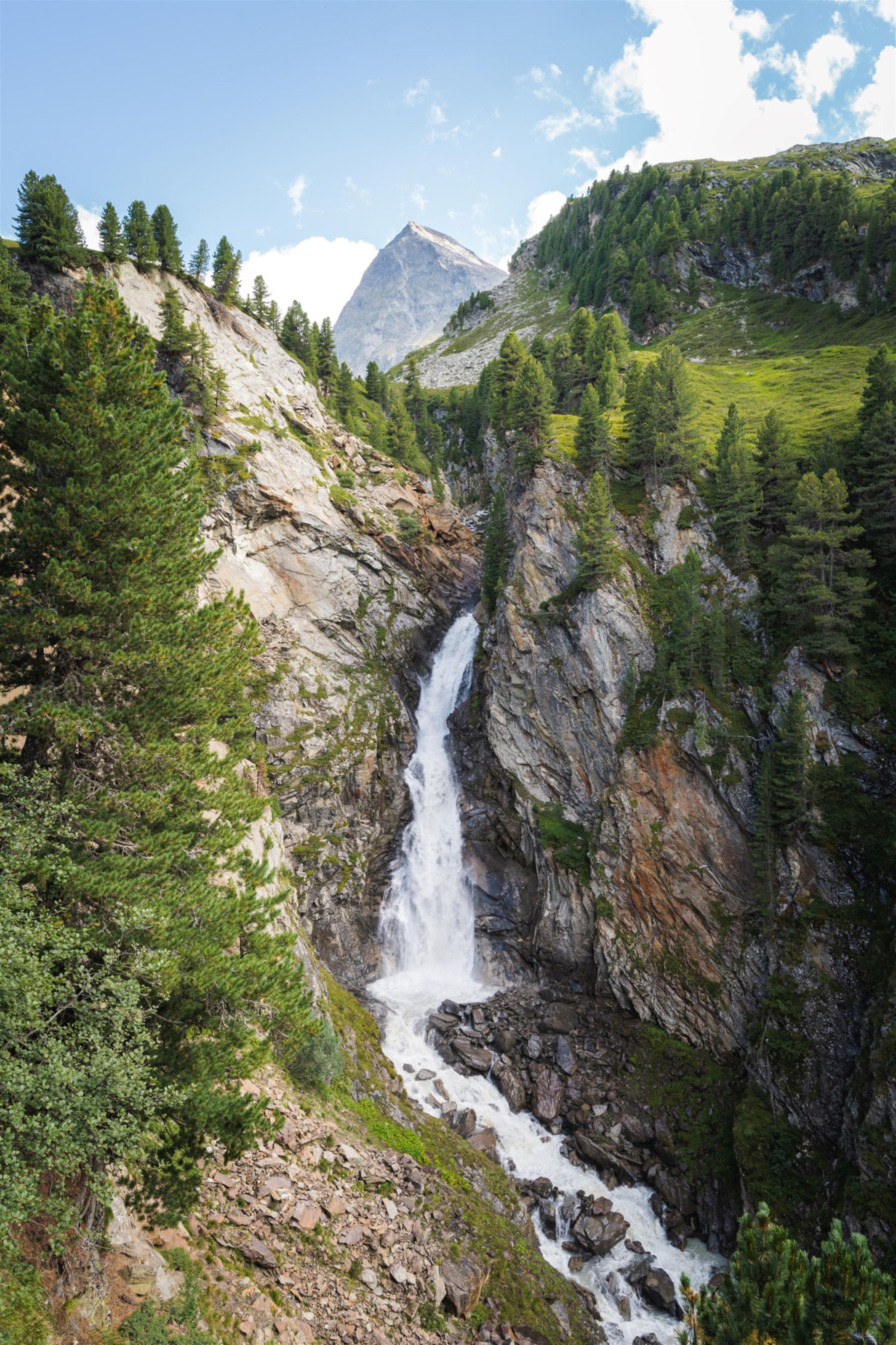
Rotmooswasserfall
A waterfall reached on an easy walk south from Obergurgl past the Zirben Alm, suitable for beginners.
Gaislachkoglbahn I
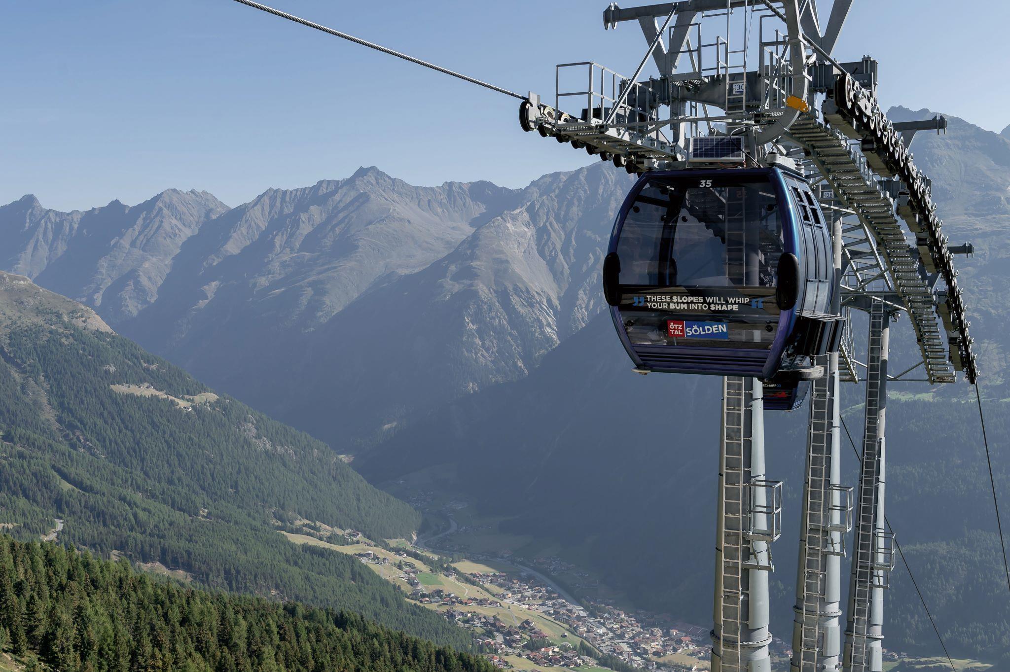
The lower section of the Gaislachkogl gondola, an eight-seater rising to the mid-station, where the Falcon restaurant stands.
Kirchenkarbahn I
The first stage of the Kirchenkar lift, its valley station built into the Top Mountain Crosspoint with the motorcycle museum. Summer service Monday to Friday.
Kirchenkarbahn II
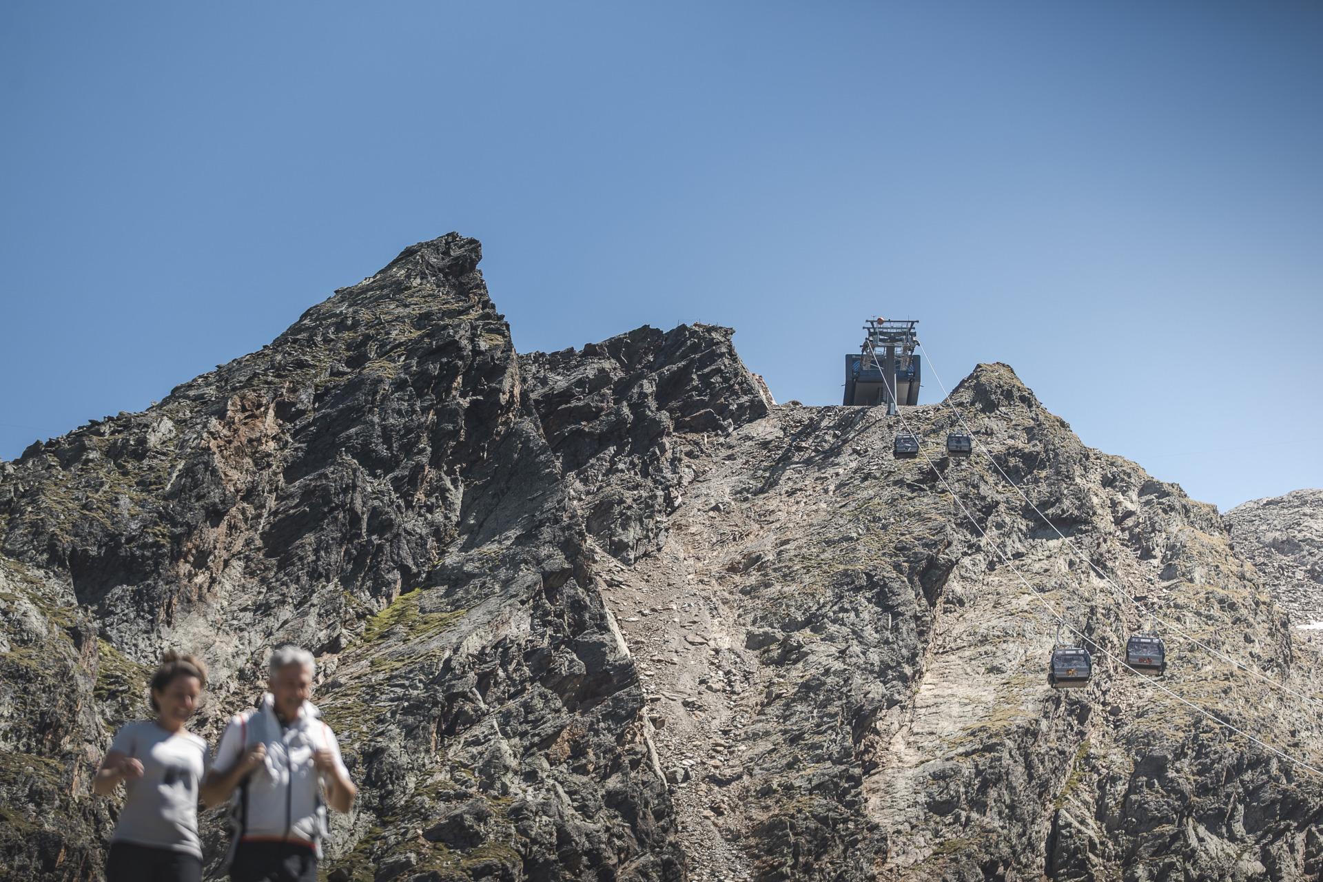
The upper stage of the Kirchenkar lift above Hochgurgl, with a wide view of the Gurgler glaciers. Summer service Monday to Friday.
Timmelsjoch-Hochalpenstraße & Timmelsjoch Erfahrung
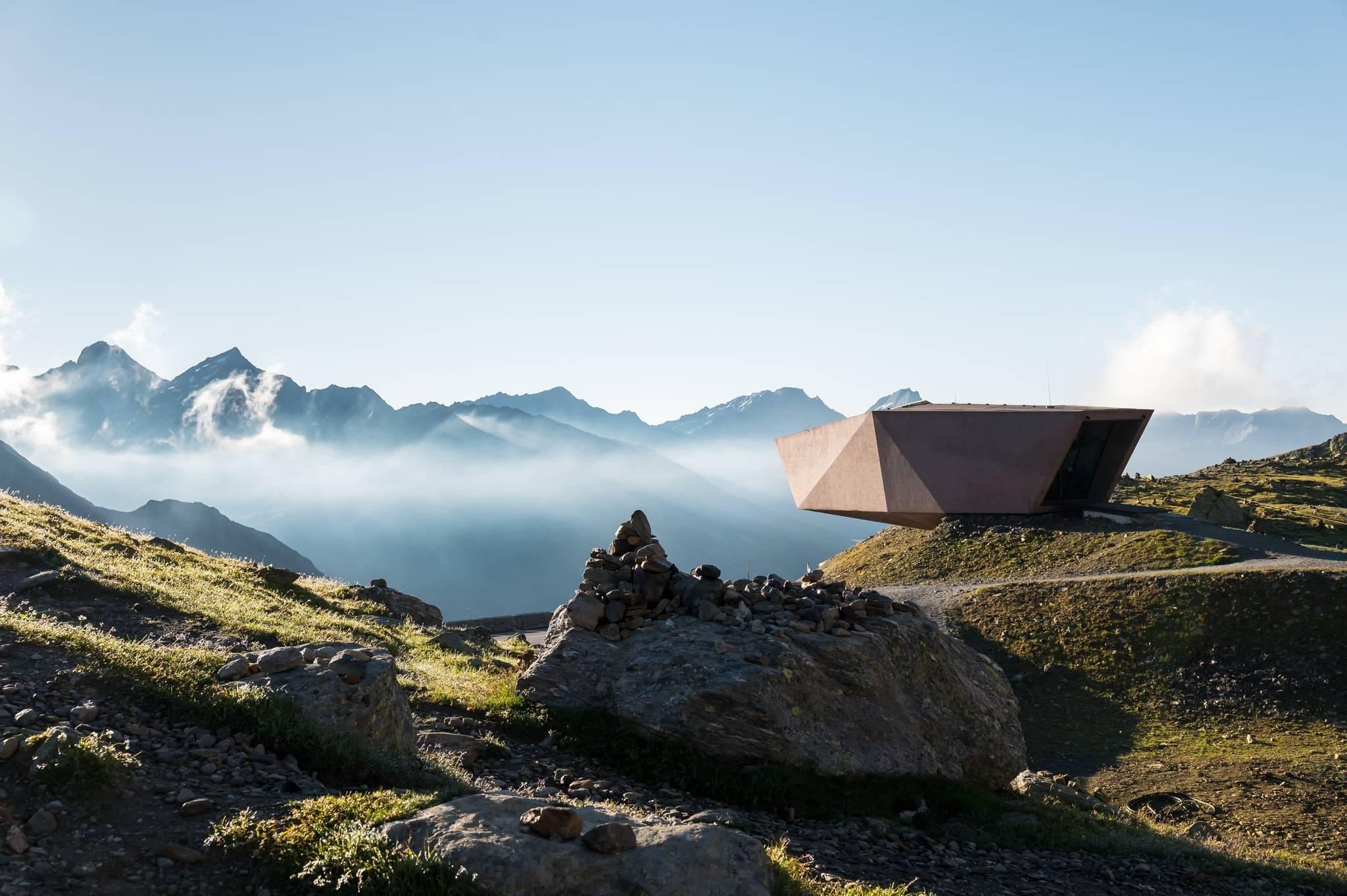
A summer-only toll road crossing to Italy at 2,474 m in 30 hairpins. Six small architectural pavilions along the way cover the pass's geology, history and smuggling routes.
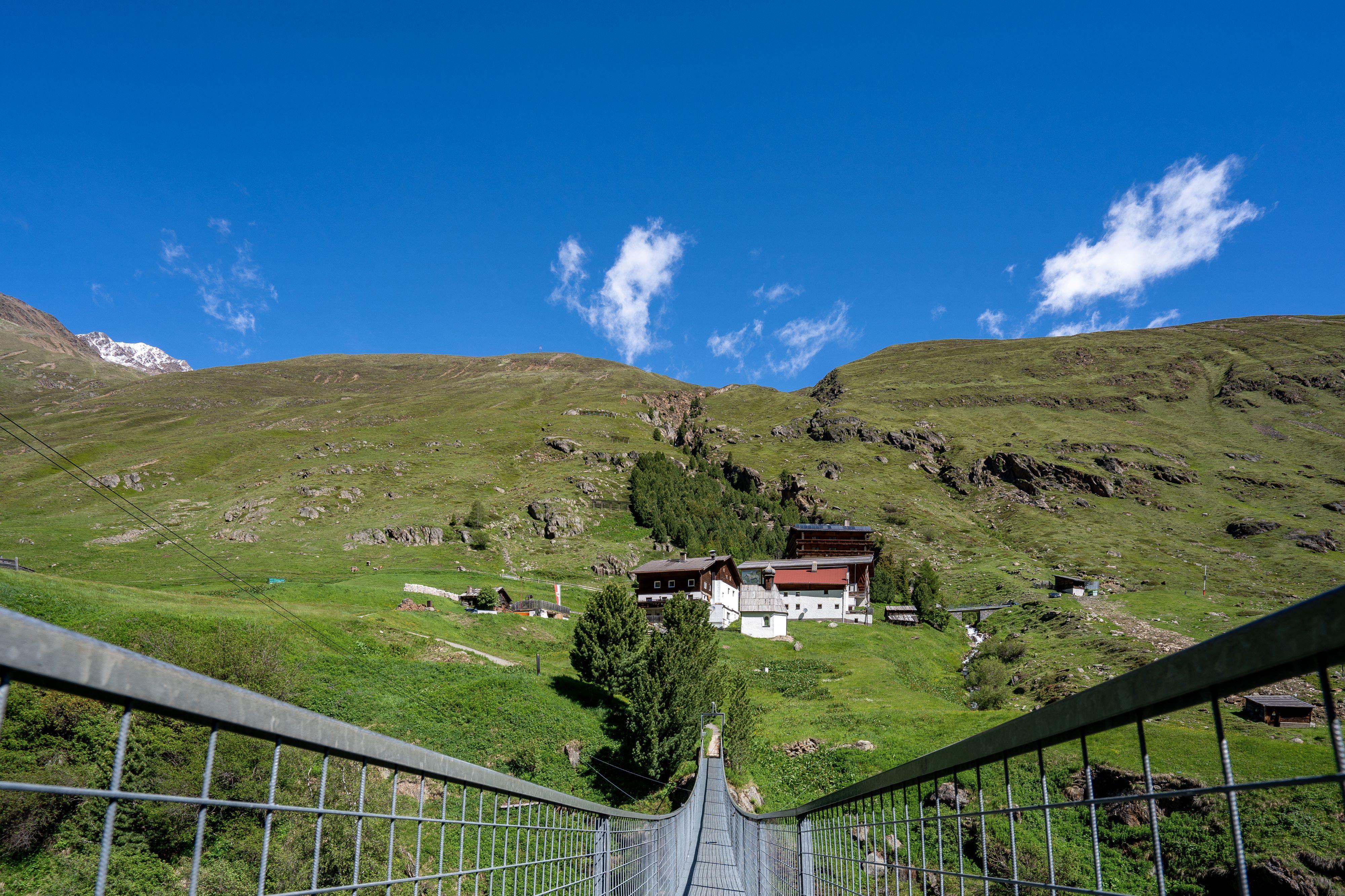
Hängebrücke in Rofen
A 46 m suspension bridge over the 31 m deep Rofen gorge, built by the Klotz brothers in 1967 and renewed in 1984.
007 ELEMENTS
An exhibition about the Bond film Spectre, which was shot on this mountain, in partly underground galleries at the Gaislachkogl top station above 3,000 m.
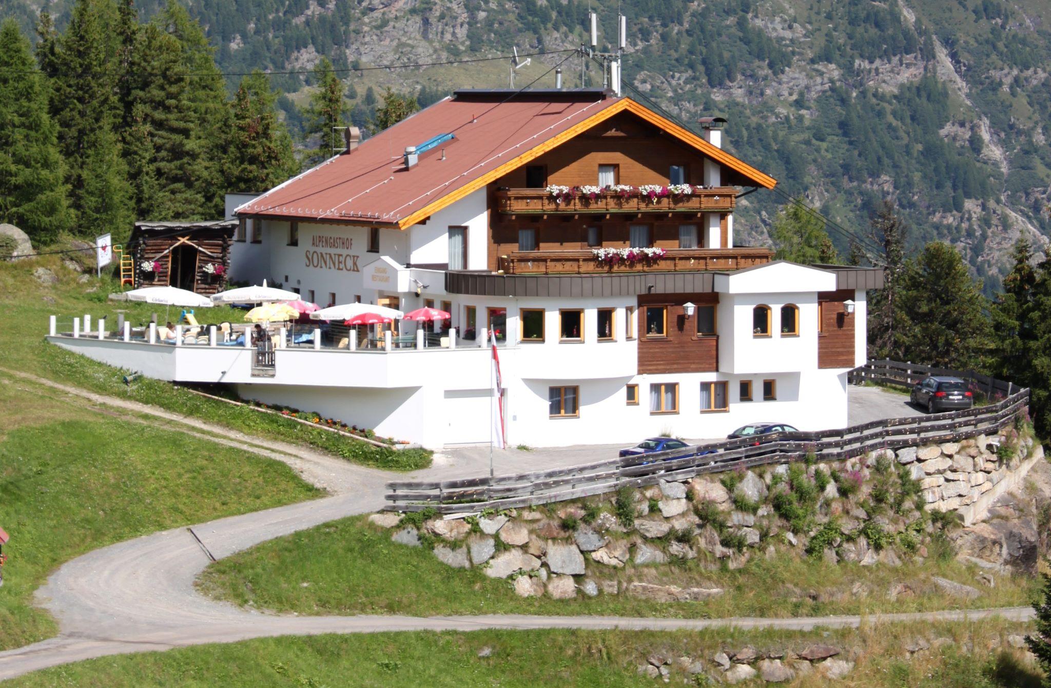
Alpengasthof Sonneck
An inn in the Gaislachalm area with a large sun terrace looking into the Venter valley and across the Ötztal Alps.
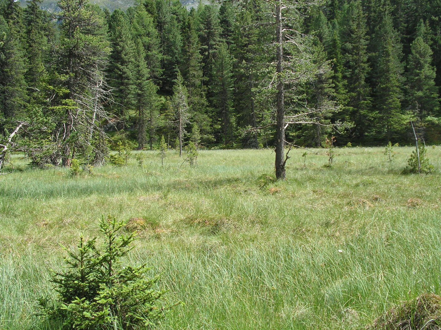
Atemlöcher - Möser
A complex of 17 woodland and waterlogged mires at 1,795 m below the Hoher Nachtberg, at the mouth of the Venter Tal.
Beilstein
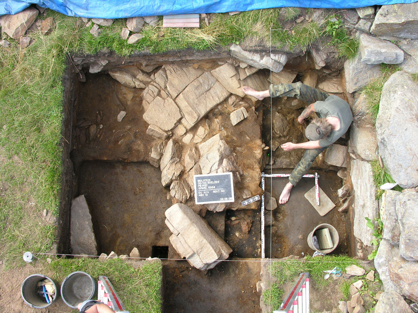
A site at 2,069 m where charcoal and flint show people were active over 9,000 years ago, long before the Iceman.
Brandenburger Haus
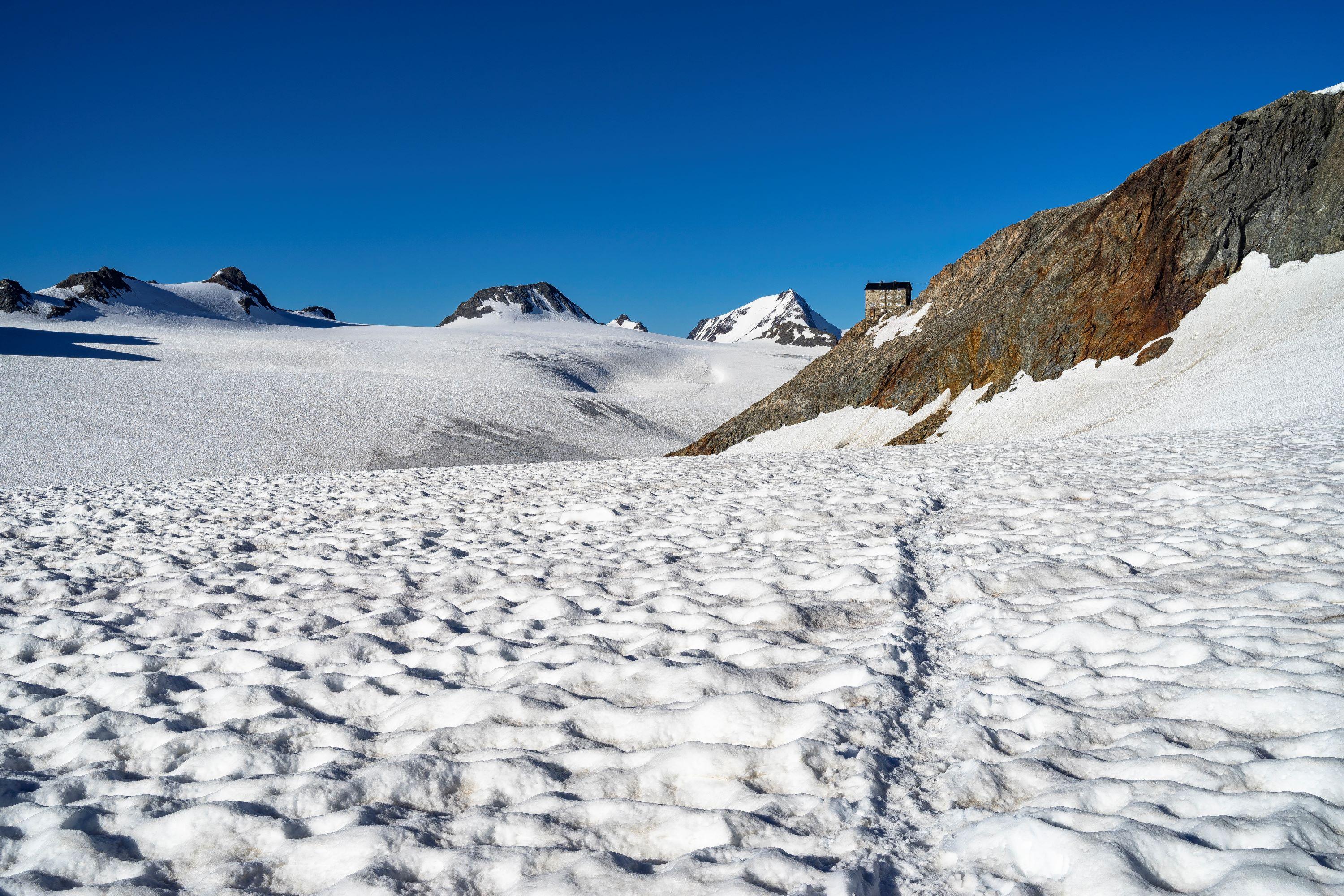
At 3,272 m the highest hut in the Ötztal Alps, known as the glacier castle. It can only be reached across the glacier.
Breslauer Hütte
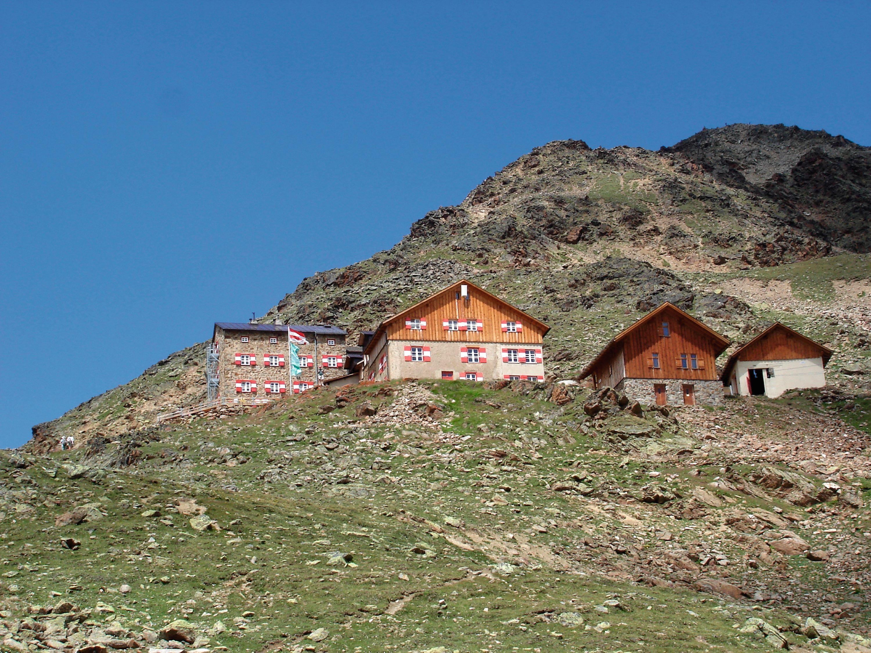
An Alpine Club hut on the approach to the Wildspitze, with a wide view over the Ötztal glaciers. Open from mid-June to late September.
Brunnenkogelhaus
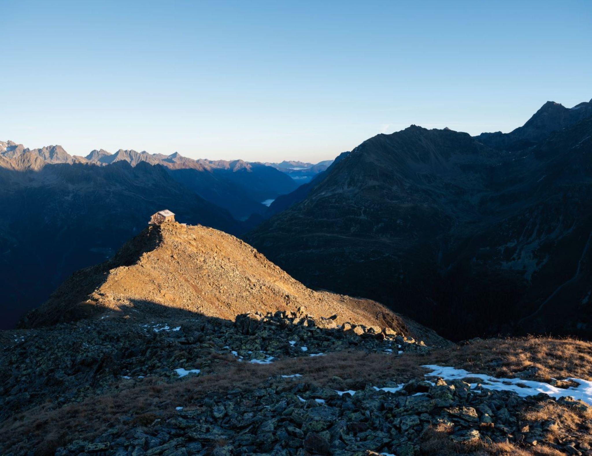
A hut standing on the 2,738 m summit of the Brunnenkogel, ringed by the Stubai and Ötztal Alps.
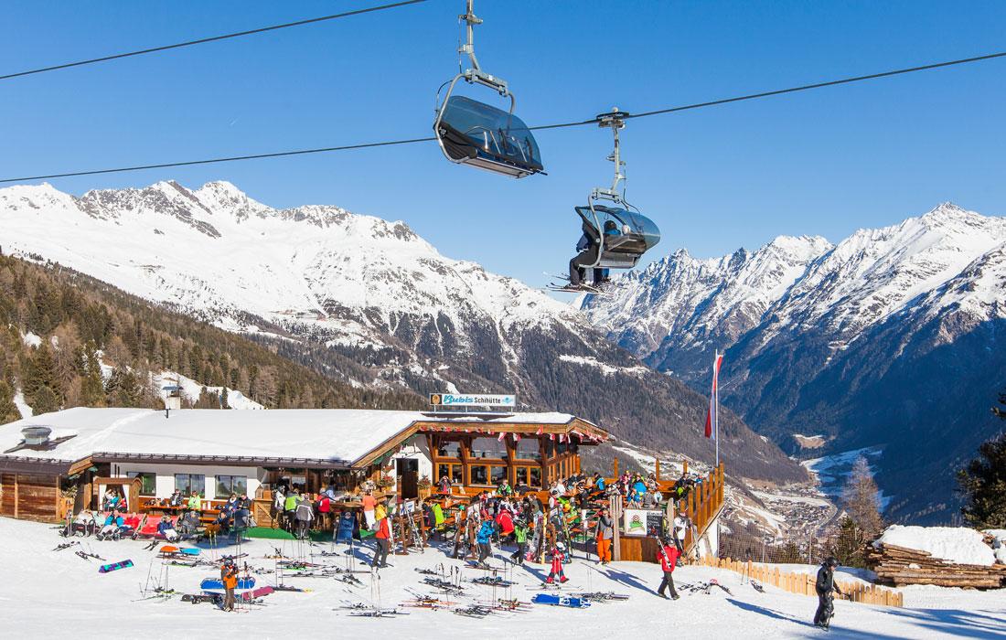
Bubis Schi- & Almhütte
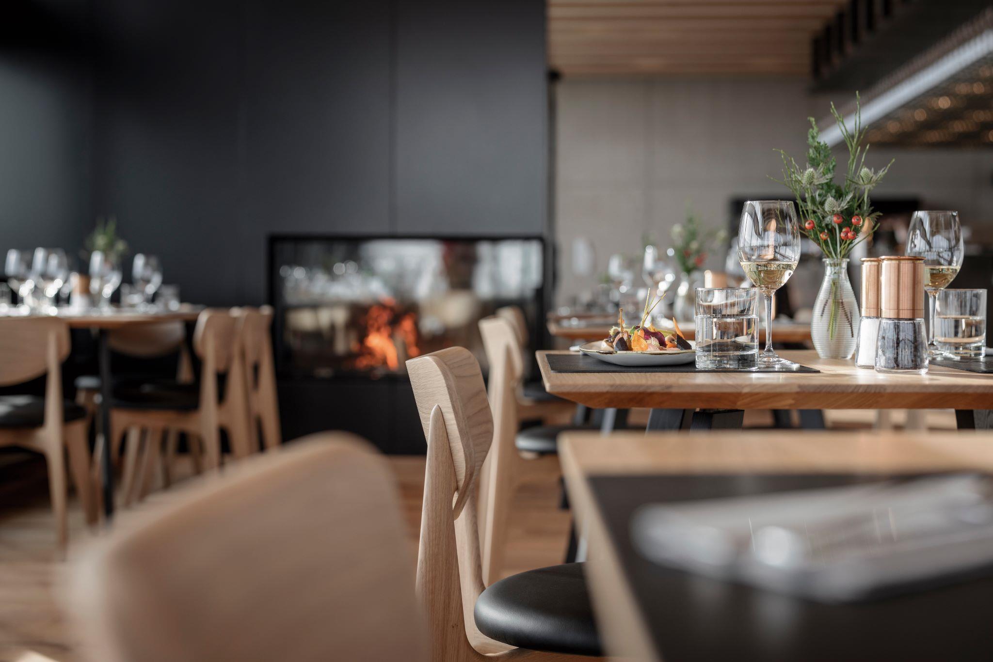
A ski and alpine hut with an open fireplace indoors and a sun terrace, serving hearty Tirolean pasture food.
Falcon A-la-Carte Restaurant
The à-la-carte floor of the Falcon restaurant at the Gaislachkogl mid-station, with table service and regional cooking.
Festkogl Alm
A hut at 2,650 m with a large sun terrace and umbrella bar facing the Gurgl glaciers. Monday night skiing from 18:30 to 22:00.
Fiegl's Hütte (Windachalm)
A hut on the Windachalm at 1,985 m, locally nicknamed Little Canada, about 1 hour 45 minutes on foot from Sölden or by bus to within 500 m.
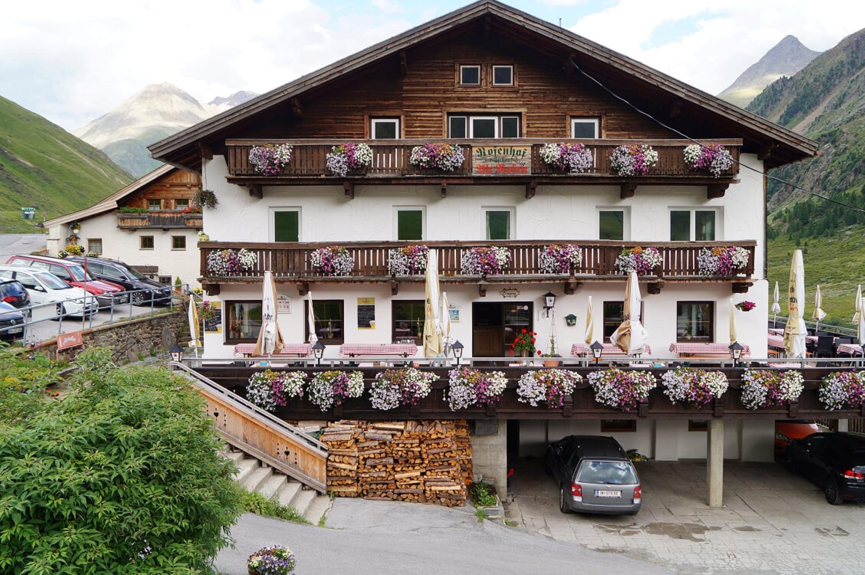
Gasthof Rofenhof
An inn at the Rofenhöfe, the highest permanently inhabited farms in Austria at 2,014 m, below the Wildspitze. Currently closed after storm damage.
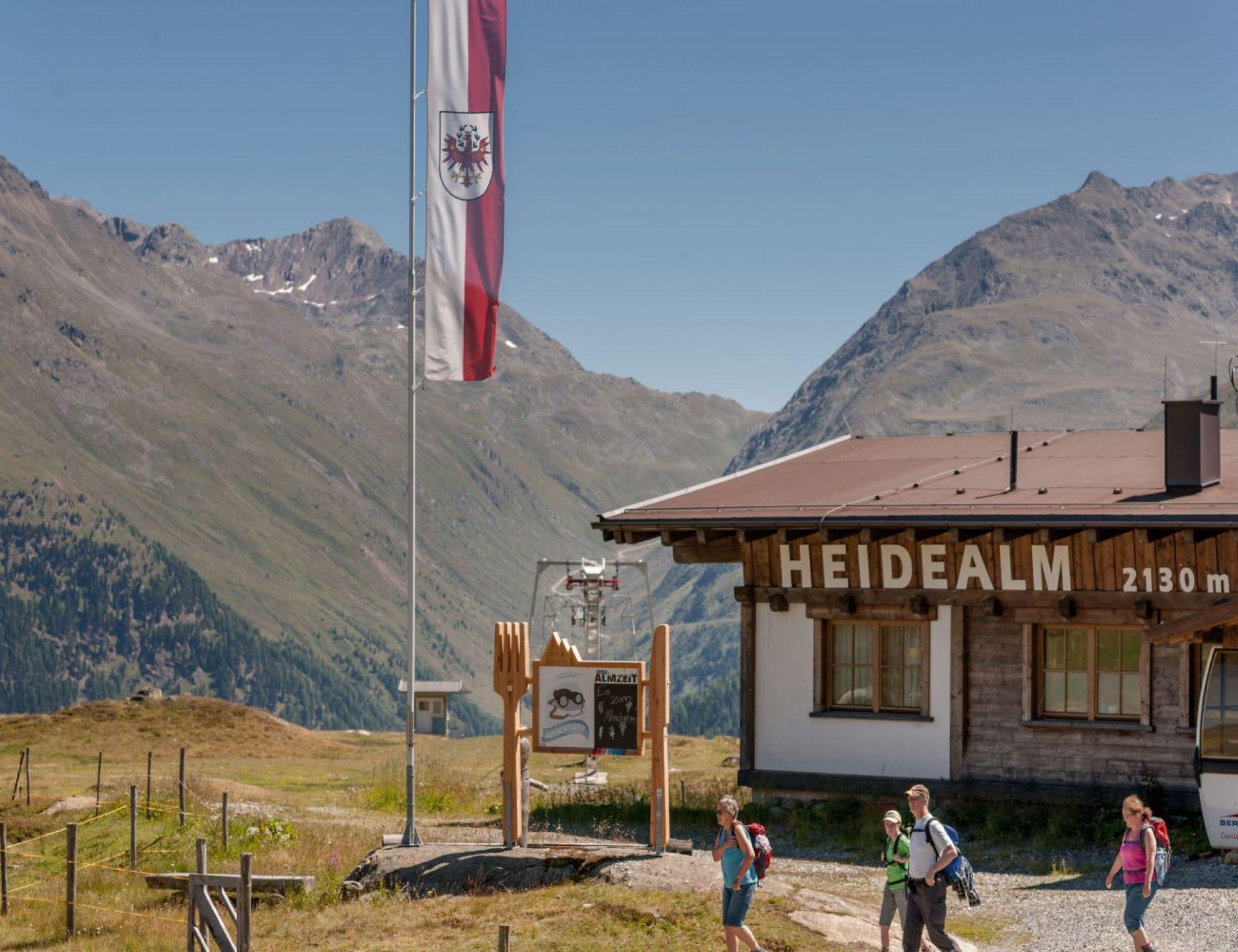
Heidealm
A ski and mountain hut built in old Tirolean style on a sunny plateau in the Gaislach area, looking into the Venter valley.
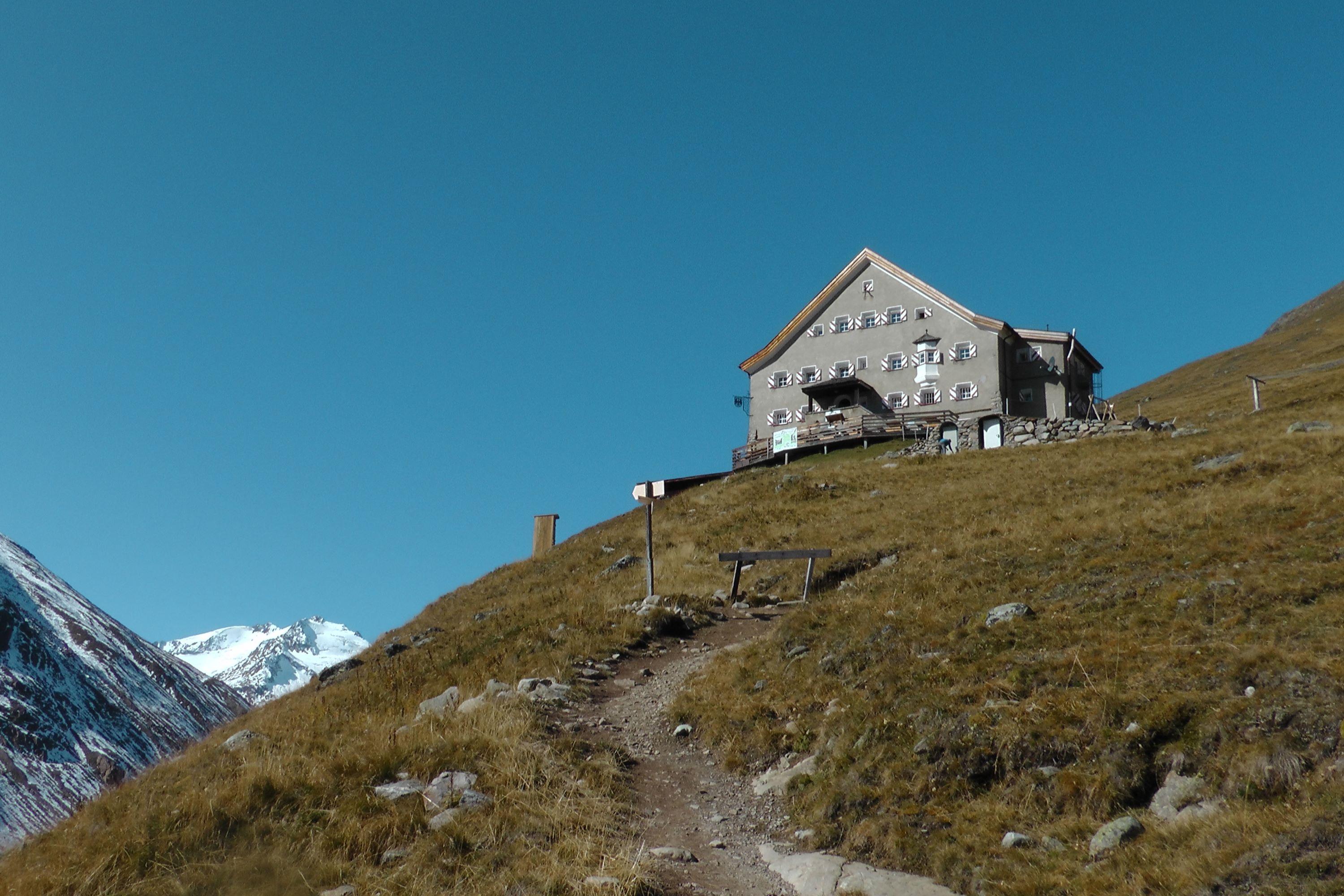
Hochjoch Hospiz
An Alpine Club hut on a rise among the three-thousanders of the Ötztal Alps, open in spring for ski tours and from June to September.
Nothing of this kind in Sölden.
Routes
50 routes, an even mix of activities · see the rest on oetztal.com ↗
Klettersteig Schwärzenkamm | Obergurgl
Demanding via ferrata deep in the Gurgl valley; after a rockfall the approach follows a new, safer line, rideable by bike as far as the Schönwieshütte before the route continues on foot.
- 8.6 km
- Distance
- 993 m
- Ascent
- 5 h 35 min
- Duration
- 59
- Check-ins
Klettersteig Zirbenwald | Obergurgl
Short family via ferrata at the edge of Obergurgl's stone-pine forest near the Zirben Alm, mostly easy but with two C-grade steps that call for some experience.
- 1.5 km
- Distance
- 54 m
- Ascent
- 41 min
- Duration
- 33
- Check-ins
Klettersteig Hohe Mut | Gurgl
Via ferrata above Obergurgl splitting at a meadow: a gentle A/B branch for beginners and children, and an airier C line up the rock pillar to the Hohe Mut; a shuttle covers the gondola's closed first section from July 2026.
- 2.6 km
- Distance
- 361 m
- Ascent
- 1 h 46 min
- Duration
- 30
- Check-ins
Klettersteig Moosalm | Sölden
Very steep little via ferrata in the right-hand sector of the Moosalm climbing garden above Sölden — a compact test piece close to the lift rather than a mountain route.
- 827 m
- Distance
- 106 m
- Ascent
- 32 min
- Duration
- 3
- Check-ins
Klettersteig Hohe Mut
A short, easy via ferrata above Obergurgl in grades A and B, with a beginners' line on the right and an airier variant on the left.
- 1.1 km
- Distance
- 155 m
- Ascent
- 45 min
- Duration
Open route Tirol WerbungKlettersteig Schwärzenkamm
A panorama via ferrata in the Obergurgl glacier world; not technically hard, but high, north-facing and long enough to demand experience.
- 8.9 km
- Distance
- 669 m
- Ascent
- 4 h 35 min
- Duration
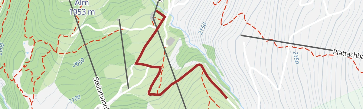
Open route Climbers Paradise *Neu*Seilbahnwanderung: Hochsölden - Sölden
Lift-assisted stroll at Sölden: ride the Giggijochbahn to the top station, then wander across to Hochsölden and gently down the hillside into the village.
- 5.0 km
- Distance
- 0 m
- Ascent
- 2 h 19 min
- Duration
- 102
- Check-ins
Similaunhütte - Martin Busch Hütte - Vent
A hut-linking descent stage: from the Similaunhütte down to the Martin-Busch-Hütte in about an hour and a half, then the long, moderate Niedertal path out to Vent.
- 12.3 km
- Distance
- 148 m
- Ascent
- 4 h 18 min
- Duration
- 162
- Check-ins
Vent - Similaunhütte - Ötzi-Fundstelle
The classic two-day pilgrimage from Vent up the Niedertal past the Martin-Busch-Hütte to the Similaunhütte, then on to the spot where Ötzi the Iceman was found — overnight at the hut.
- 14.9 km
- Distance
- 1 424 m
- Ascent
- 6 h 20 min
- Duration
- 167
- Check-ins
Über die Finailspitze zur Schönen Aussicht
From the Tisenjoch past the Hauslabjoch and up the northeast ridge to the Finailspitze at 3,514 m, then a glacier descent over the Hochjochferner and a short rise to the Schöne Aussicht hut.
- 8.2 km
- Distance
- 700 m
- Ascent
- 880 m
- Descent
- 2 h 58 min
- Duration
- 95
- Check-ins
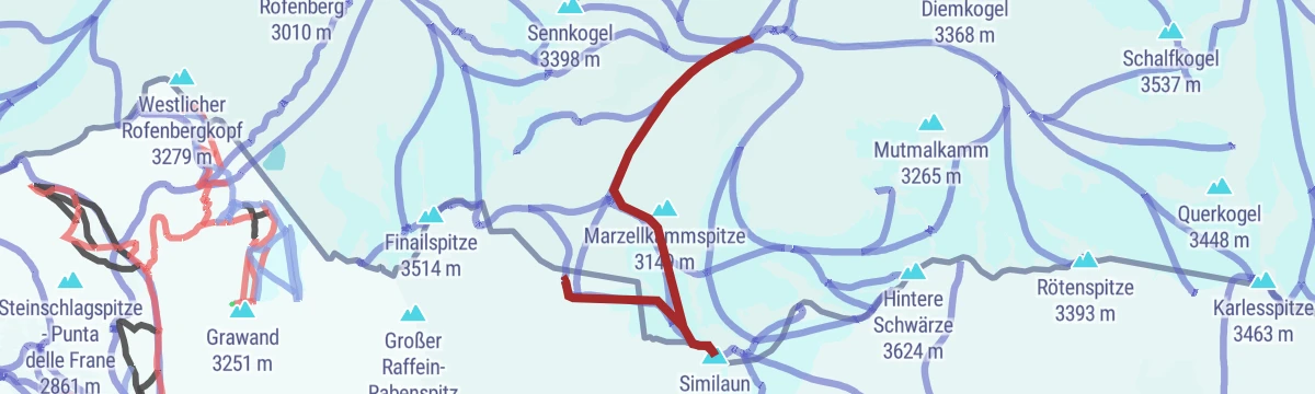
Similaun Skitour
The ski approach from Vent through the Niedertal to the Martin-Busch-Hütte, then behind the hut toward the glacier and up to the Similaun — one of the great Ötztal touring summits at 3,606 m.
- 12.9 km
- Distance
- 1 292 m
- Ascent
- 160 m
- Descent
- 4 h 34 min
- Duration
- 162
- Check-ins
649 Forstweg Rechenau
A short and almost level forest road on the valley floor at Sölden, an easy spin with next to no climbing on it.
- 4.1 km
- Distance
- 63 m
- Ascent
- 25 min
- Duration
- 28
- Check-ins
Enduro Zwieselstein - E
An enduro loop running south from Sölden to Zwieselstein, turning at the Talhütte for the run back down the valley.
- 11.5 km
- Distance
- 302 m
- Ascent
- 1 h 18 min
- Duration
- 73
- Check-ins
648 Gletscherexpress
A long, high day above Sölden linking the Giggijoch, the Rotkogelhütte and the Rettenbach restaurant at around 2,660 m.
- 35.2 km
- Distance
- 1 765 m
- Ascent
- 4 h 54 min
- Duration
- 207
- Check-ins
Rennradtour Timmelsjoch Hochalpenstraße - Sölden - Pfelders
A very long road day over the 2,474 m pass and down into the Passeiertal, turning up the side valley to Pfelders before the return.
- 114.9 km
- Distance
- 3 948 m
- Ascent
- 13 h 55 min
- Duration
- 204
- Check-ins
Seilbahnwanderung: Hochsölden - Gaislachkogl Mittelstation
Gentle lift-assisted traverse at Sölden from the Giggijoch top station through Hochsölden and across the hillside to the Gaislachkogl middle station, with valley views nearly the whole way.
- 6.7 km
- Distance
- 141 m
- Ascent
- 2 h 1 min
- Duration
- 90
- Check-ins
Martin-Busch-Hütte
From Vent halfway up the Ochsenkopf, then left into the Niedertal on a broad, moderately rising track past a newly built chapel and the shepherd's hut to the Alpine Club hut at 2,501 m.
- 8.1 km
- Distance
- 662 m
- Ascent
- 3 h 8 min
- Duration
- 109
- Check-ins
Von Vent zum Similaun auf 3.606 m
The full round from Vent to the 3,606 m Similaun and back: through the Niedertal to the Martin-Busch-Hütte, on to the Similaunhütte at the Niederjoch, and up over the glacier to the summit.
- 28.8 km
- Distance
- 1 711 m
- Ascent
- 11 h 54 min
- Duration
- 167
- Check-ins
Pollestalele - Sölden
Compact ski tour from the Giggijoch top station, traversing north off the Roßkirpl piste and climbing steeply into the small Pollestalele valley to its notch; the run home goes over Hochsölden and the valley descent.
- 3.2 km
- Distance
- 514 m
- Ascent
- 64 m
- Descent
- 1 h 31 min
- Duration
- 45
- Check-ins
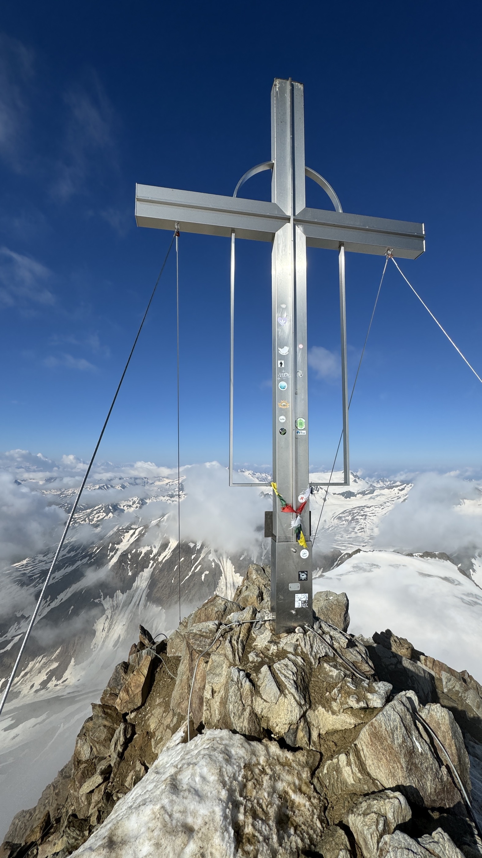
Wildspitze - Vent
A grand ski traverse from the Vernagthütte over the Brochkogeljoch and the Taschachferner to Tirol's highest summit at 3,768 m, descending via the Mitterkarjoch and the Breslauer Hütte to Vent.
- 15.1 km
- Distance
- 1 027 m
- Ascent
- 1 887 m
- Descent
- 5 h 14 min
- Duration
- 98
- Check-ins
OLLWEITE LINE (6010)
An easy singletrack descent past the Hühnersteign and the Stabele Alm to the Stabele lift station above Sölden.
- 6.8 km
- Distance
- 0 m
- Ascent
- 50 min
- Duration
- 27
- Check-ins
652 Brunnenbergalm
A forest-road climb from Sölden up to the alm at 1,963 m, gaining close to 800 m from the valley floor in a single pull.
- 14.4 km
- Distance
- 658 m
- Ascent
- 1 h 54 min
- Duration
- 70
- Check-ins
Bike & Hike Tour: Sölden - Gurgl - Langtalereck Hütte - Ramolhaus
A ride up the Ötztal from Sölden through Zwieselstein to Gurgl and on past the Schönwieshütte, where the bike is left for the walk higher.
- 26.3 km
- Distance
- 1 972 m
- Ascent
- 3 h 44 min
- Duration
- 181
- Check-ins
Rennradtour - Sölden - Timmelsjoch
A road climb from Sölden through Zwieselstein and up the Hochalpenstraße to the pass at 2,474 m on the border with Italy.
- 27.8 km
- Distance
- 1 361 m
- Ascent
- 3 h 21 min
- Duration
- 203
- Check-ins
Seilbahnwanderung: Gampe Almen - Sölden
An easy lift-assisted walk: ride the Giggijochbahn up, then wander from the mountain station through Hochsölden and past the Gampe pastures gently back down to Sölden.
- 5.5 km
- Distance
- 0 m
- Ascent
- 2 h 22 min
- Duration
- 72
- Check-ins
Seilbahnwanderung: Gaislachkoglbahn Mittelstation - Hühnersteign - Sesselbahn Langegg - Rotkoglhütte - Giggijochbahn - Sölden
Half-day lift-hopping circuit at Sölden: from the Gaislachkogl middle station past the Hühnersteign to the Langegg chairlift and the Rotkoglhütte, finishing with the Giggijochbahn back down to the village.
- 8.5 km
- Distance
- 766 m
- Ascent
- 4 h 36 min
- Duration
- 102
- Check-ins
Vent - Martin Busch Hütte - Similaunhütte
A two-day hut itinerary from Vent: up the Niedertal to the Martin-Busch-Hütte, on to the Similaunhütte at 3,019 m and back down to sleep — with the Kreuzspitze or the Ötzi find spot as add-ons.
- 13.7 km
- Distance
- 1 262 m
- Ascent
- 5 h 35 min
- Duration
- 161
- Check-ins
Von Obergurgl zur Karlsruher Hütte | Langtalereckhütte
Ski-touring stage from Obergurgl past the Schönwieshütte to the Karlsruher Hütte at 2,450 m, the opening leg of the Ötztaler Rundtour; a longer variant crosses the 3,233 m Eiskögele on the way.
- 6.2 km
- Distance
- 602 m
- Ascent
- 87 m
- Descent
- 2 h 11 min
- Duration
- 43
- Check-ins
Martin-Busch-Hütte über den Similaun zur Similaunhütte
The classic, objectively safer line from the Martin-Busch-Hütte past the Niederjoch onto the 3,606 m Similaun, then down to the Similaunhütte; the direct Niederjochferner run needs safe avalanche conditions.
- 8.0 km
- Distance
- 1 094 m
- Ascent
- 574 m
- Descent
- 3 h 35 min
- Duration
- 90
- Check-ins
Schlender Line 6060
A very short link line by the Stabele Alm on the slopes above Sölden, joining the Hühnersteign area to the Stabele lift station.
- 698 m
- Distance
- 11 m
- Ascent
- 5 min
- Duration
- 27
- Check-ins
Enduro Stille Seite - C
An enduro round on the quieter side of the valley at Sölden, above the Sportalm and the campsite down on the valley floor.
- 11.9 km
- Distance
- 683 m
- Ascent
- 1 h 49 min
- Duration
- 63
- Check-ins
Enduro Schölder - M
A mid-length enduro loop above Sölden by way of the Stabele Alm and the Falcon hut, dropping past Eugen's Obstlerhütte.
- 22.5 km
- Distance
- 998 m
- Ascent
- 2 h 56 min
- Duration
- 142
- Check-ins
Rennradtour Timmelsjoch Hochalpenstraße - Sölden - St. Leonhard
A long road ride over the border pass at 2,474 m and down the Passeiertal to St. Leonhard, with the climb back to Zwieselstein to finish.
- 106.8 km
- Distance
- 3 411 m
- Ascent
- 12 h 42 min
- Duration
- 163
- Check-ins
Rofenhöfe 2014 m
A gentle walk from Vent along the pastures — often shared with grazing Haflinger herds — to the Rofenhöfe farms at 2,014 m, passing the old Wildspitze summit cross and crossing the suspension bridge over the Rofen-Ache.
- 2.4 km
- Distance
- 149 m
- Ascent
- 48 min
- Duration
- 62
- Check-ins
Seilbahnwanderung: Gaislachkogl - Gaislachsee - Gaislach Almen - Sölden
High walk from the Gaislachkogl summit station down past the Gaislachsee to the Gaislach alms and on into Sölden, trading 3,000 m glacier scenery for pasture tracks along the way.
- 9.6 km
- Distance
- 76 m
- Ascent
- 4 h 31 min
- Duration
- 93
- Check-ins
Kreuzspitze
From the Martin-Busch-Hütte steeply up past the Brizzihütte ruins and the Brizzisee to one of the Ötztal Alps' highest walk-up summits — no glacier contact, and a sweeping panorama from Hauptkamm to Weißkamm.
- 11.5 km
- Distance
- 1 547 m
- Ascent
- 6 h 11 min
- Duration
- 129
- Check-ins
Fluchtkogel
A glacier tour over the crevassed Guslarferner to the Oberes Guslarjoch and up a steep firn slope to the 3,497 m summit; note the Vernagthütte below was closed in winter 2024/25, with no winter room.
- 7.4 km
- Distance
- 812 m
- Ascent
- 812 m
- Descent
- 3 h 2 min
- Duration
- 13
- Check-ins
Weißkugel und Hochjoch Hospiz
A seven-to-eight-hour glacier tour from the Schöne Aussicht over the Hintereisferner to the Hintereisjoch, up the south ridge to the Weißkugel at 3,739 m, then the long run down to the Hochjoch Hospiz.
- 18.6 km
- Distance
- 1 309 m
- Ascent
- 1 741 m
- Descent
- 6 h 21 min
- Duration
- 65
- Check-ins
HARBE LINE (6008)
A short bike-park line off the Giggijoch at 2,278 m, dropping past the Sonnblick towards the Hochsölden mid-station.
- 2.2 km
- Distance
- 0 m
- Ascent
- 15 min
- Duration
- 24
- Check-ins
6023 Langtalereckhütte
A climb from Obergurgl past the Schönwieshütte and the Zollhütte to the hut at 2,430 m at the head of the Gurgler valley.
- 14.0 km
- Distance
- 654 m
- Ascent
- 1 h 52 min
- Duration
- 59
- Check-ins
Tour zum Rettenbachferner
A very long climb from the Ötztal up towards the Rettenbachferner above Sölden, topping out at the Restaurant Rettenbach at 2,666 m.
- 62.5 km
- Distance
- 2 326 m
- Ascent
- 7 h 5 min
- Duration
- 129
- Check-ins
Rennradtour - Sölden - Tiefenbachgletscher
A road climb from the valley at Sölden up the glacier road to the tunnel at 2,829 m, finishing by the reservoir and the restaurant.
- 33.2 km
- Distance
- 1 561 m
- Ascent
- 4 h 25 min
- Duration
- 116
- Check-ins
 Die Alm 1 351 m
- Tiefenbachgletscher SB Restaurant 2 793 m
 Tunnelausgang Süd 2 829 m
- Rodelhütte 1 361 m
- Hühnersteign 2 012 m
 Speicherteich für Beschneiung 2 780 m
- +5
Schatzsuche Vent Ramolalm
A cache-hunting climb from the information office in Vent through stone-pine forest to the disused Ramolalm at 2,215 m, with open meadows and a chance of spotting an eagle overhead.
- 2.3 km
- Distance
- 315 m
- Ascent
- 1 h 15 min
- Duration
- 58
- Check-ins
Seilbahnwanderung: Rotkogelhütte - Rettenbachalm - Sölden
Ride the Giggijochbahn, then traverse to the Rotkogelhütte and descend past the Hühnersteign and the Rettenbachalm into Sölden — a lift-assisted half-day with one real climb.
- 10.7 km
- Distance
- 406 m
- Ascent
- 5 h
- Duration
- 86
- Check-ins
Schöne Aussicht
A long glacier-country hike from Vent via Rofen and the Rofner Schlucht to the Hochjoch Hospiz, then down to a bridge over the Hintereisbach and up again to the refuge above the Hochjochferner.
- 15.5 km
- Distance
- 1 487 m
- Ascent
- 7 h 26 min
- Duration
- 129
- Check-ins
Hochvernagtwand
In the Vernagthütte touring area (hut closed in winter 2024/25, no winter room), a rarely visited 3,400 m goal whose southeast summit flank exceeds 40 degrees — best saved for firm spring firn.
- 9.9 km
- Distance
- 872 m
- Ascent
- 873 m
- Descent
- 3 h 34 min
- Duration
- 10
- Check-ins
Similaun 3.606 m
The favourite ski summit above the Martin-Busch-Hütte: the classic ascent passes the Niederjoch and climbs steadily to 3,606 m, with the steeper Niederjochferner descent reserved for safe conditions.
- 15.1 km
- Distance
- 1 825 m
- Ascent
- 1 087 m
- Descent
- 6 h 16 min
- Duration
- 47
- Check-ins
Fernar Trail (6041)
A high singletrack from the Tiefenbach lifts at around 2,780 m, past a snowmaking reservoir and down towards the Gaislachalm.
- 6.0 km
- Distance
- 23 m
- Ascent
- 53 min
- Duration
- 20
- Check-ins
- Speicherteich für Beschneiung 2 780 m
- Gaislachalm 1 982 m
Long Line Rotkogl
A long flow descent from the Rotkogelhütte at 2,660 m, past the Stabele Alm and the Hühnersteign to the Langeggbahn base.
- 12.4 km
- Distance
- 0 m
- Ascent
- 1 h 34 min
- Duration
- 53
- Check-ins
Enduro Gletscher Express reloaded - H
A big enduro descent from the Rettenbach at 2,666 m back down to Sölden, passing Eugen's Obstlerhütte and the Hühnersteign.
- 35.5 km
- Distance
- 1 588 m
- Ascent
- 4 h 39 min
- Duration
- 122
- Check-ins
No routes of this kind in Sölden yet.
The region's own picks

Featured route
Seilbahnwanderung: Hochsölden - Sölden
Lift-assisted stroll at Sölden: ride the Giggijochbahn to the top station, then wander across to Hochsölden and gently down the hillside into the village.
Protected areas
 Naturpark
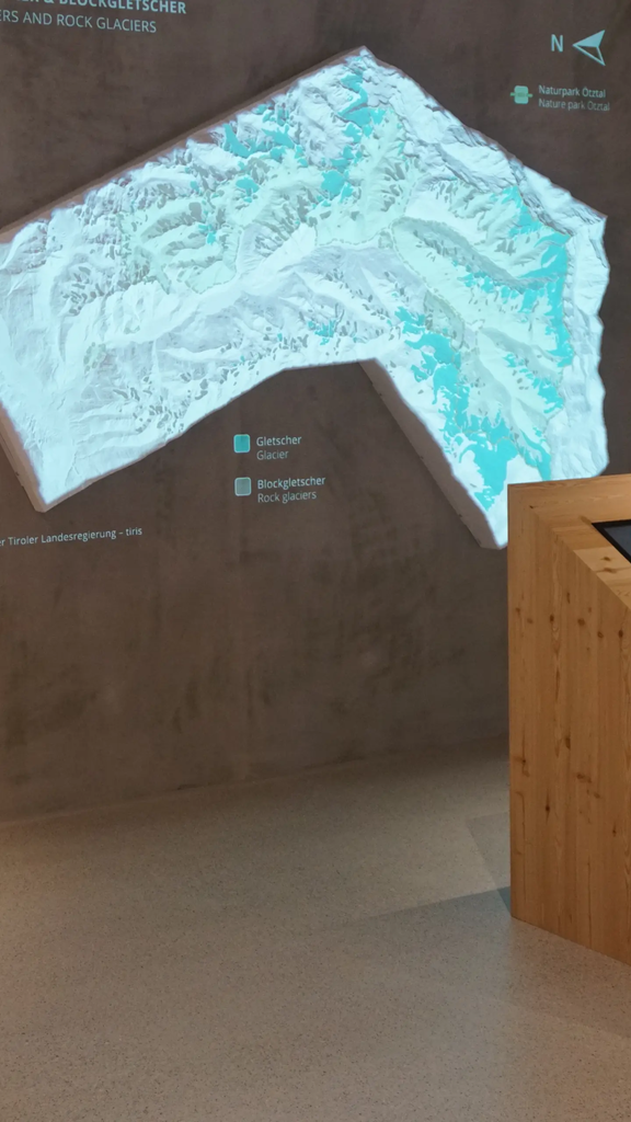
Naturpark Ötztal
Tirol's second-largest nature park, declared in 2009 and covering 510 km² of the upper Ötztal, including 67 glaciers and about 95 km² of ice.
Planning a trip to Sölden?
Everything else Tyrol has, in one place


Take Sölden with you into the mountains
Every route on this page with 3D terrain, GPX navigation and offline maps — including the valleys with no signal.
Data sources
- Official website: oetztal.com ↗
- Routes and highlights: Ötztal Tourismus, Ötztal Tourismus – Sölden, Ötztal Tourismus – Gurgl, Tirol Werbung, Climbers Paradise *Neu*, Imst Tourismus
- Published as open data by the tourist boards named above.
- Region summary generated from the board's own material.
