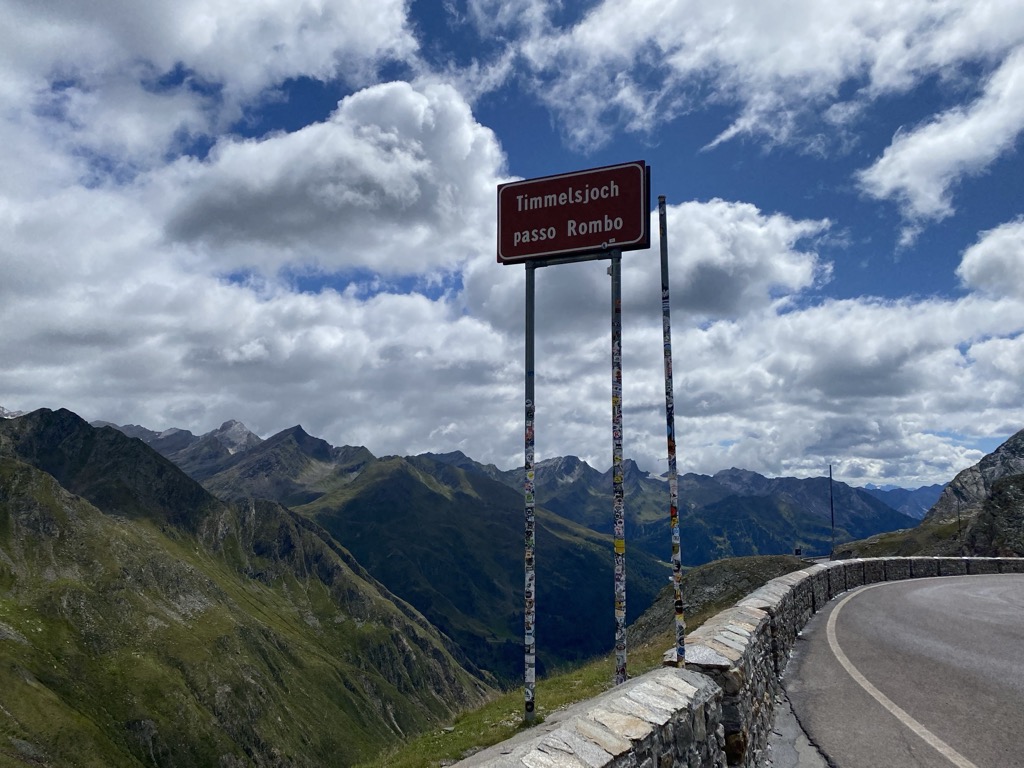
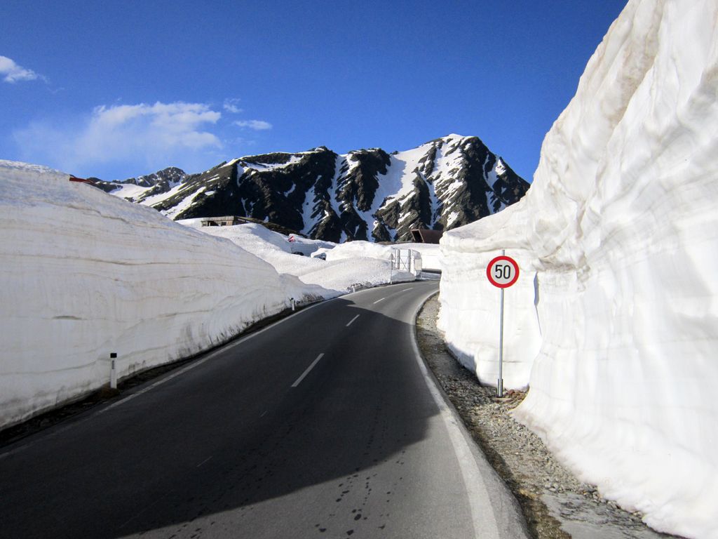
Timmelsjoch (Italian: Passo del Rombo), (elevation 2,474 metres (8,117 ft)) is a high mountain pass that creates a link through the Ötztal Alps along the border between Austria and Italy. The Timmelsjoch connects the Ötztal valley in the Austrian state of Tyrol to the Passeier Valley in the Italian province of South Tyrol, as it bridges the saddle point between the Jochköpfl (3,141 metres (10,305 ft)) and Wurmkogl (3,082 metres (10,112 ft)) peaks to its northeast and southwest, respectively. The pass is sometimes called the "secret passage" because it is little-used compared to the much easier and lower Brenner Pass some 25 kilometres (16 mi) to its east, and Reschen Pass some 60 kilometres (37 mi) to its west.
We use GPS information embedded into the photo when it is available.
3D mountains overlay
Adjust mountain panorama to perfectly match your photos because recorded by camera photo position might be imprecise.
Move tool
Rotate tool
Zoom
More customization
Choose which peak labels should make into the final photo and what photo title should be.
Next
Photo Location
Satellitte
Flat map
Relief map
Latitude
Longitude
Altitude
OR
Latitude
°'''
Longitude
°'''
Apply
Register Peak
Peak Name
Latitude
Longitude
Altitude
Register
Teleport
PeakVisor
This 3D model of Sagarmatha National Park in Nepal was made using the PeakVisor app topographic data. The mobile app features higher precision models worldwide, more topographic details, and works offline. Download PeakVisor maps today.
Download OBJ model
PeakVisor
The download should start shortly. If you find it useful please consider supporting the PeakVisor app.
PeakVisor for iOS and Android
Be a superhero of outdoor navigation with state-of-the-art 3D maps and mountain identification in the palm of your hand!


.jpg)


