












Curated by Sterzing, Pfitsch und Freienfeld
Sesto/Sexten
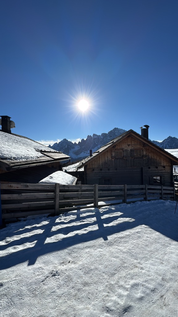
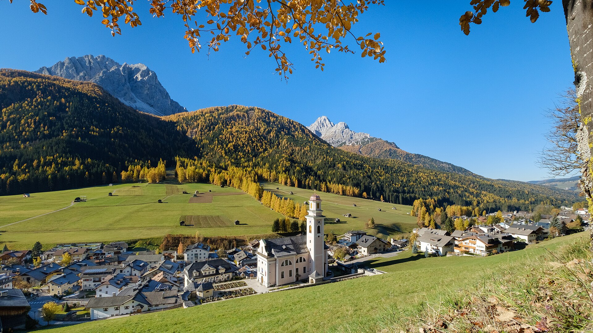
Pusteria village on the far side of the Alpine watershed, where the Rio Sesto drains north to the Danube and the Sesto Dolomites rise straight from the meadows.
- 4Highlights
- 28Routes
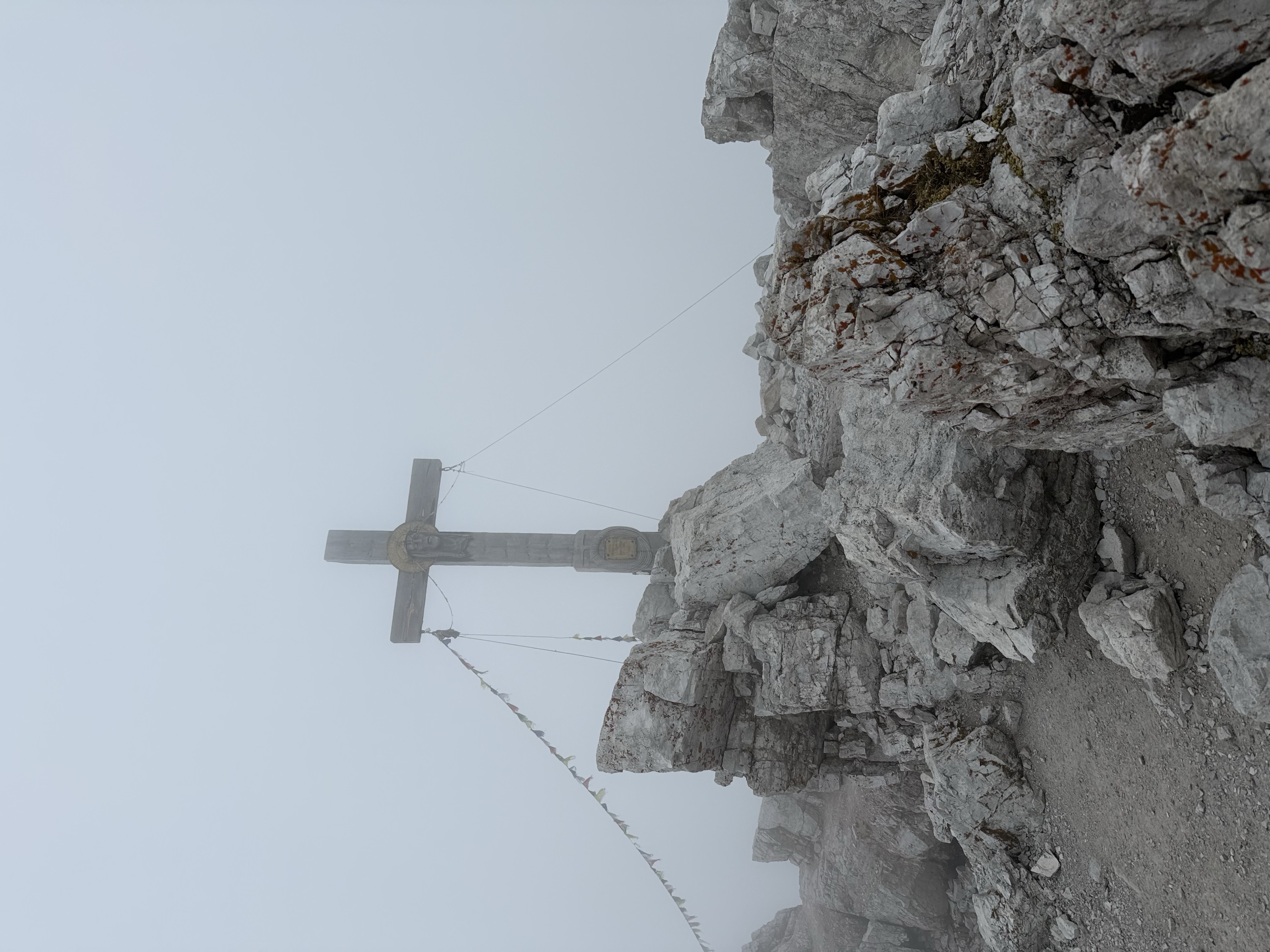
- Featured summit · Monte Paterno - Paternkofel
Highlights
3 from neighbouring places
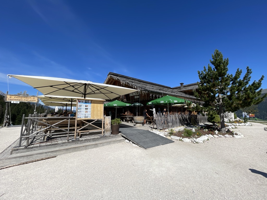
Malga Klammbach
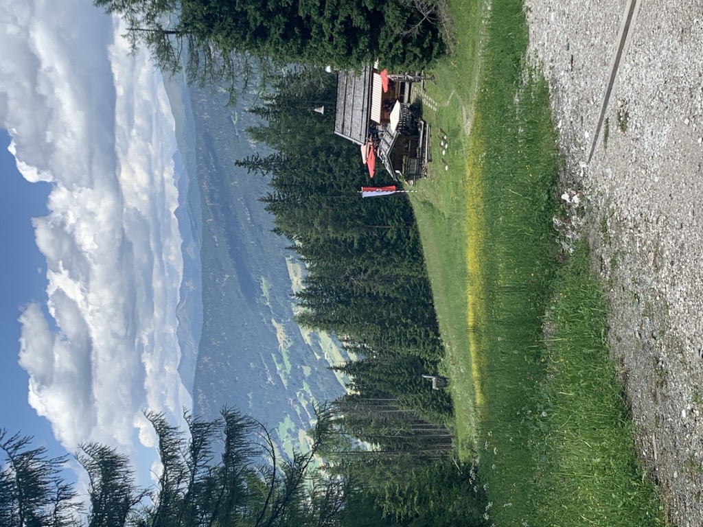
A pasture hut at 1,944 m on the Klammbach slopes above Sesto, reached on the walk up from Moso and cooking the typical Tyrolean fare of the Pusteria.
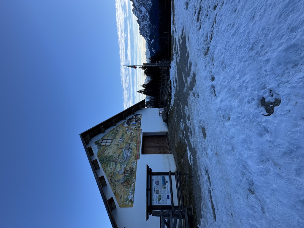
Sterzing, Pfitsch und FreienfeldBaita del cacciatore
A hut at 1,821 m above Sesto in the Pusteria, an easy outing for families of any age, reached from the Helmjet top station or on the meditation path.
Rifugio Gallo Cedrone
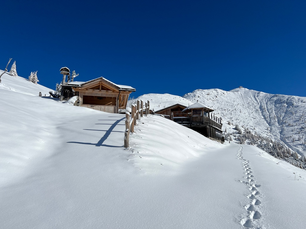
A hut at 2,155 m at the foot of the Monte Elmo above Sesto, the Pusteria village facing the Sesto Dolomites.
Rifugio Rudi
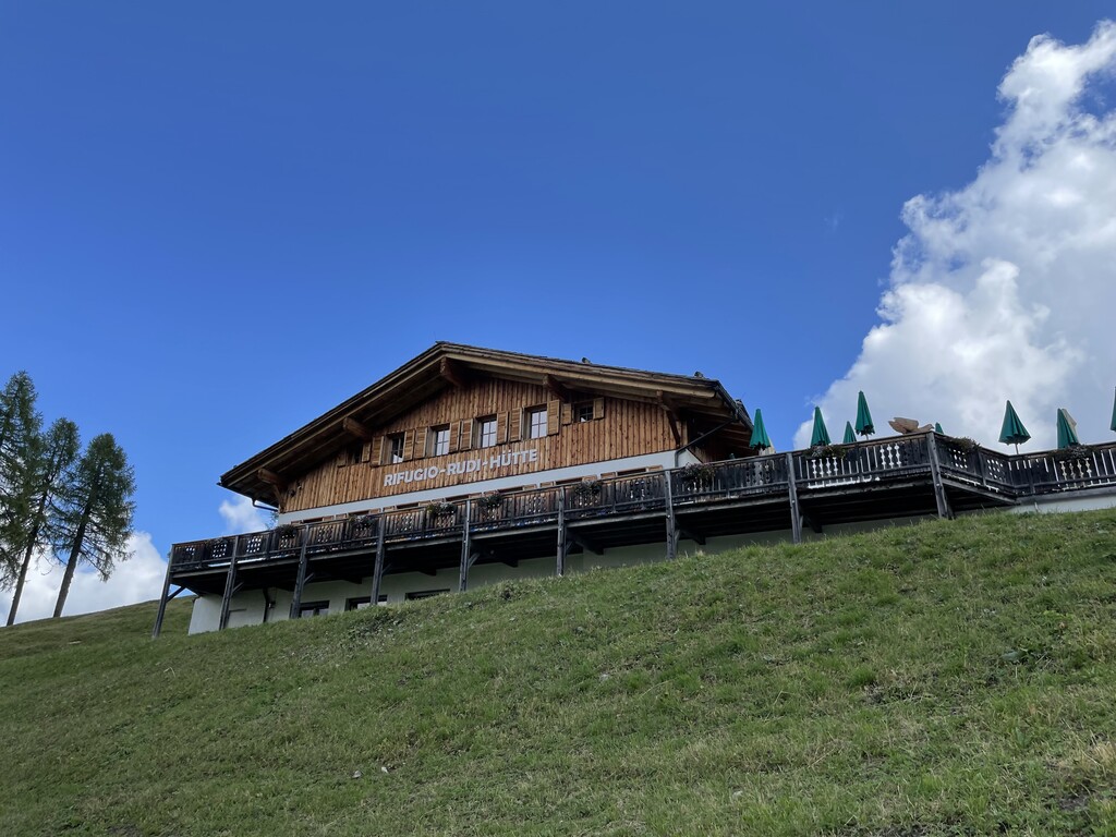
A hut at 1,917 m above Sesto reached by gondola or on foot, beside the Croda Rossa cabin lift and the top of the toboggan run.
Azienda Agriturismo Coltrondo
4.9 km away, in Comelico Superiore
A working dairy farm on the Coltrondo pastures above Padola, in the Comelico near the Passo Monte Croce, serving what it makes.
Rifugio Gigante Baranci
9.8 km away, in San Candido/Innichen
A refuge at the foot of the Baranci above San Candido, in the Sesto Dolomites, reached from the Baranci lift or on foot from the village.
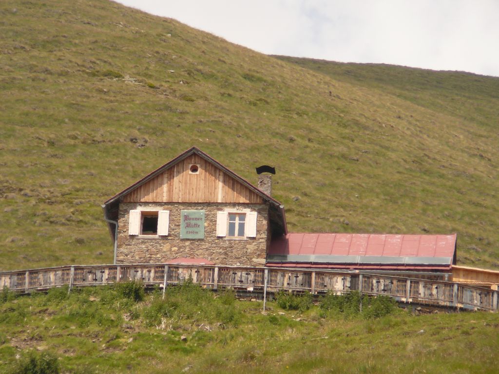
Rifugio alpino Bonnerhütte 2340 m
14.5 km away, in Dobbiaco/Toblach
A hut at 2,340 m walked up from Dobbiaco or the Val Casies, with overnight beds, a stube, a sun terrace and sunrise over the Pfannhorn.
Nothing of this kind in Sesto/Sexten.
Routes
Dolomiti senza confini - Rif. Carducci - Tre Cime di Lavaredo
A long stage of the Dolomiti senza Confini high route, from the Carducci hut across ground marked by Great War trenches to the Tre Cime di Lavaredo.
- 16.8 km
- Distance
- 1 735 m
- Ascent
- 13 h 22 min
- Duration
- 1684
- Check-ins
 Rifugio Auronzo 2 333 m
 Forcella Longeres 2 330 m
- Toblinger Riedl - Forcella di Toblin 2 401 m
- Rifugio Lavaredo 2 345 m
- Dreizinnenhütte - Rifugio Antonio Locatelli/Sepp Innerkofler 2 405 m
- Rifugio Locatelli - Bivouac 2 402 m
- +12
Open route Sterzing, Pfitsch und FreienfeldDolomiti senza confini - Tre Cime di Lavaredo - Rif. Comici
A stage of the Dolomiti senza Confini high route, linking the Tre Cime di Lavaredo with the Comici hut over equipped ground and old front-line positions.
- 9.8 km
- Distance
- 801 m
- Ascent
- 6 h 59 min
- Duration
- 1236
- Check-ins
 Monte Paterno - Paternkofel 2 744 m
- Frankfurter Würstel - Monolite della Salsiccia 2 726 m
- Toblinger Knoten - Torre di Toblin 2 564 m
- Toblinger Knoten Westgipfel - Torre di Toblin Cima Ovest 2 546 m
- Westliche Gamsspitze 2 671 m
- Östliche Gamsspitze 2 696 m
- +13
Open route Sterzing, Pfitsch und FreienfeldVia ferrata: Strada degli Alpini
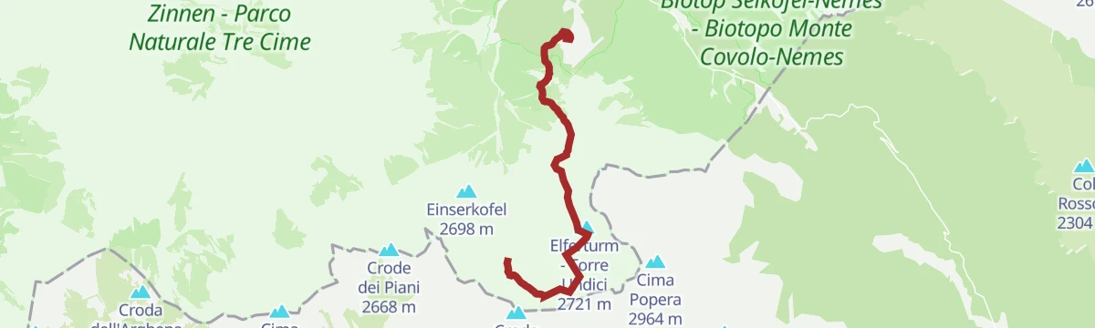
A preserved First World War military road from the Zsigmondy-Comici hut; the section between Cima Undici and the Passo della Sentinella keeps ice into summer, so crampons, axe and rope are needed.
- 14.3 km
- Distance
- 1 520 m
- Ascent
- 11 h 30 min
- Duration
- 384
- Check-ins
- Talschlusshütte Fischleintal - Rifugio Fondovalle Val Fiscalina 1 526 m
- Fischleinbodenhütte - Rifugio Piano Fiscalino 1 455 m
- Zsigmondy-Comici Hütte - Rifugio Zsigmondy-Comici 2 224 m
- Touristenhaus 1 457 m
- Dolomitenhof 1 458 m
 Eissee - Lago Ghiacciato 2 326 m
- +1
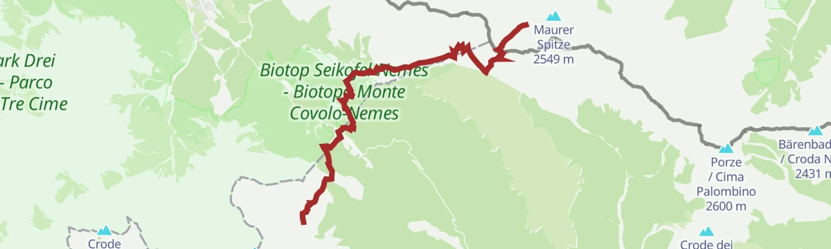
Open route Sterzing, Pfitsch und FreienfeldDolomiti senza confini – Rif. Berti - RIF. Obstanserseehütte
A stage of the Dolomiti senza Confini, the chain of equipped routes along the Italian-Austrian border, from the Berti hut to the Obstanserseehütte past wartime trenches.
- 16.3 km
- Distance
- 1 151 m
- Ascent
- 8 h 60 min
- Duration
- 206
- Check-ins
- Kreuzbergpass - Passo Monte Croce di Comelico 1 636 m
- Nemes Alm - Rifugio Malga Nemes 1 935 m
- Rifugio Antonio Berti 1 950 m
- Hotel Kreuzbergpass Restaurant 1 647 m
- Forcella Pian della Biscia 1 932 m
- Passo Silvella 2 329 m
- +2
Open route Sterzing, Pfitsch und FreienfeldDolomiti senza confini - Rif. Comici - Prati di Croda Rossa
A stage of the Dolomiti senza Confini linking the Comici hut with the Prati di Croda Rossa across old front-line ground.
- 9.1 km
- Distance
- 764 m
- Ascent
- 6 h 59 min
- Duration
- 169
- Check-ins
- Zsigmondy-Comici Hütte - Rifugio Zsigmondy-Comici 2 224 m
- Rudi-Hütte - Rifugio Rudi 1 917 m
- Rotwandwiesenhütte - Rifugio Prati di Croda Rossa 1 924 m
- Eissee - Lago Ghiacciato 2 326 m
- Elferscharte - Forcella Undici 2 590 m
Open route Sterzing, Pfitsch und FreienfeldDolomiti senza confini - Prati di Croda Rossa - Rif. Berti
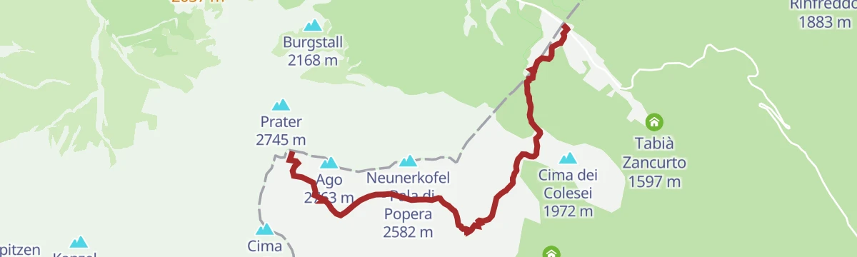
A steep stage of the Dolomiti senza Confini over the Croda Rossa di Sesto to the Berti hut, on wartime paths and cables.
- 7.7 km
- Distance
- 1 212 m
- Ascent
- 8 h 30 min
- Duration
- 163
- Check-ins
- Sextener Rotwand Gipfelkreuz 2 936 m
- Wurzbach 2 675 m
- Trapezio 2 926 m
- Prater 2 745 m
- Ventaglio 2 926 m
- Torre Pellegrini 2 797 m
- +9
Open route Sterzing, Pfitsch und FreienfeldVia ferrata: Zandonella
A hard, exposed start of ladders and fixed rope from the Berti hut to the top of the Croda Rossa di Sesto, with an easier descent through the Circo Est.
- 6.1 km
- Distance
- 1 410 m
- Ascent
- 6 h 31 min
- Duration
- 124
- Check-ins
- Ventaglio 2 926 m
- Croda Rossa di Sesto 2 965 m
- Torre Trento 2 884 m
- Torrioni 2 897 m
- Piramide 2 897 m
- Croda Rossa di Sesto - Sextener Rotwand 2 965 m
- +6
Open route Sterzing, Pfitsch und FreienfeldVia ferrata: Croda Rossa
A well-protected route from the Prati di Croda Rossa along the Costoni to the summit of the Croda Rossa di Sesto, returning by the Castelliere.
- 10.3 km
- Distance
- 1 591 m
- Ascent
- 9 h 3 min
- Duration
- 89
- Check-ins
- Croda Rossa di Sesto 2 965 m
- Torrioni 2 897 m
- Piramide 2 897 m
- Croda Rossa di Sesto - Sextener Rotwand 2 965 m
- Rudi-Hütte - Rifugio Rudi 1 917 m
- Forcella Pian della Biscia 1 932 m
- +3
Open route Sterzing, Pfitsch und FreienfeldVia ferrata: Arzalpenturm
An equipped climb from the Passo Monte Croce by the Forcella Plan della Biscia and an old military road to the Campanile Colesei.
- 7.0 km
- Distance
- 800 m
- Ascent
- 6 h 3 min
- Duration
- 33
- Check-ins
- Arzalpenkopf - Croda Sora i Colesei 2 369 m
- Campanile Colesei - Arzalpenturm 2 349 m
- Forcella Pian della Biscia 1 932 m
- Forcella Popera 2 291 m
Open route Sterzing, Pfitsch und FreienfeldHike to the Talschlusshütte Fischleintal
A family walk up the Fischleintal from the Croda Rossa car park on trail 102, ending at the Talschlusshuette at the head of the valley.
- 3.9 km
- Distance
- 164 m
- Ascent
- 1 h 10 min
- Duration
- 321
- Check-ins
- Talschlusshütte Fischleintal - Rifugio Fondovalle Val Fiscalina 1 526 m
- Fischleinbodenhütte - Rifugio Piano Fiscalino 1 455 m
- Touristenhaus 1 457 m
- Luis Alm 1 356 m
- Dolomitenhof 1 458 m
Open route OlangAlmenwanderung
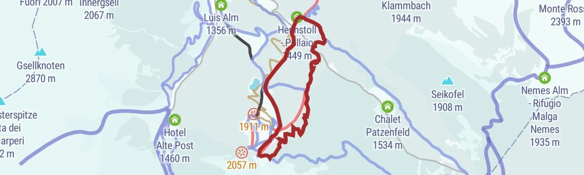
A wide, easy path from the Stiergarten top station past the Klammbach and Nemes dairies and back, passable with a pushchair.
- 14.6 km
- Distance
- 162 m
- Ascent
- 4 h 26 min
- Duration
- 171
- Check-ins
- Monte Gallo 2 091 m
- Nemes Alm - Rifugio Malga Nemes 1 935 m
- Klammbachalm - Malga Klammbach 1 944 m
- Hennstoll - Pollaio 1 449 m
- Zin Fux 1 445 m
Open route 3 Zinnen DolomitenIl nuovo sentiero circolare di Sesto
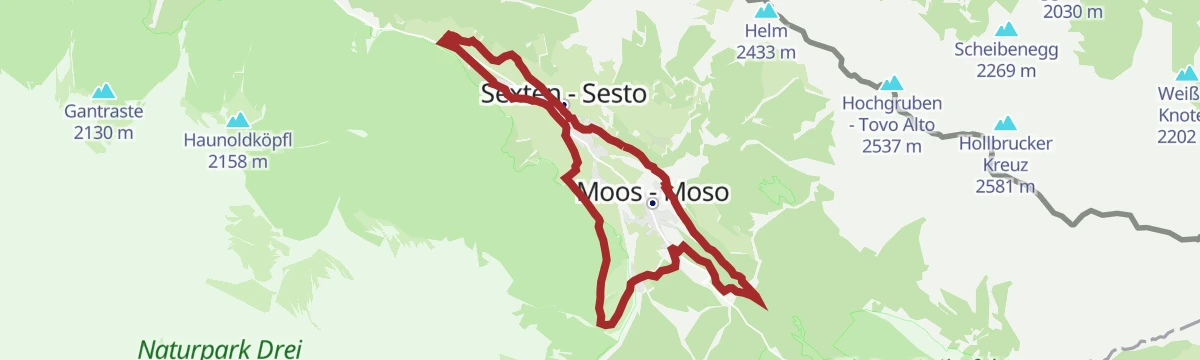
A long circuit of Sesto in the Dolomiti di Sesto, taking in the Val Fiscalina and the dairies above the village.
- 15.8 km
- Distance
- 382 m
- Ascent
- 4 h 38 min
- Duration
- 71
- Check-ins
Sci d'alpinismo: Monte Arnese
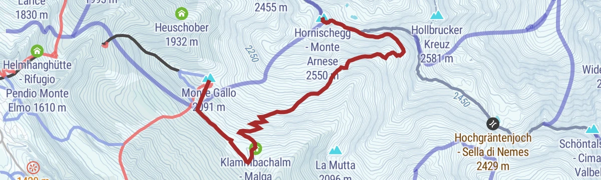
A ski ascent of the Hornischegg above Sesto on the Carnic ridge, for experienced parties carrying avalanche gear.
- 5.4 km
- Distance
- 603 m
- Ascent
- 144 m
- Descent
- 2 h 1 min
- Duration
- 97
- Check-ins
Open route Sterzing, Pfitsch und FreienfeldSci d'alpinismo: Crode Fiscaline
A long ski tour into the Fiscalina basin under the Croda Fiscalina peaks, for experienced parties with full avalanche equipment.
- 10.9 km
- Distance
- 1 284 m
- Ascent
- 106 m
- Descent
- 4 h 7 min
- Duration
- 1005
- Check-ins
- Oberbachernspitzen O. - Croda Fiscalina E. 2 677 m
- Östliche Oberbachernspitzen - Croda Fiscalina Est 2 677 m
- Oberbachernspitzen Mittl - Croda Fiscalina di Mezzo 2 675 m
- Toblinger Riedl - Forcella di Toblin 2 401 m
- Dreizinnenhütte - Rifugio Antonio Locatelli/Sepp Innerkofler 2 405 m
- Rifugio Locatelli - Bivouac 2 402 m
- +6
Open route Sterzing, Pfitsch und FreienfeldCamoscio (3)
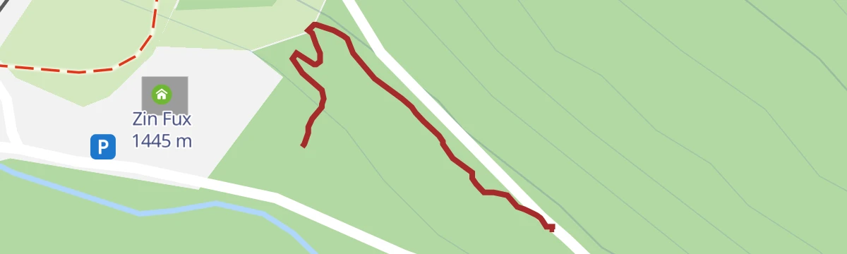
A medium-difficulty bike-park line at Zin Fux in Sesto, tight turns over roots and stone with timber features.
- 204 m
- Distance
- 0 m
- Ascent
- 1 min
- Duration
- 20
- Check-ins
Open route Sterzing, Pfitsch und FreienfeldMTB-Tour Hunters Lodge (002)
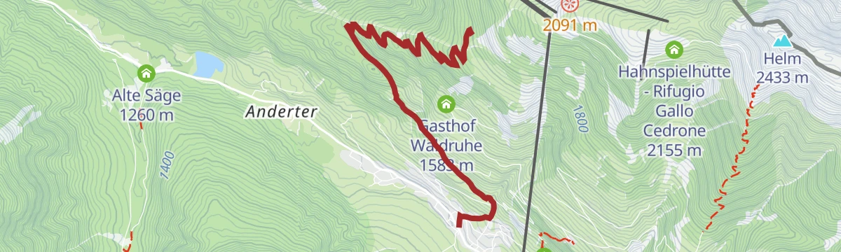
A climb on asphalt and forest track to Monte Elmo, then an easy descent past the Jägerhütte with the Sesto Dolomites in view.
- 17.3 km
- Distance
- 728 m
- Ascent
- 2 h 14 min
- Duration
- 160
- Check-ins
- Helmrestaurant - Ristorante Monte Elmo 2 050 m
- Reinhold-Messner-Haus 2 054 m
- Jägerhütte - Baita del Cacciatore 1 821 m
- Lärchenhütte - Rifugio Larice 1 830 m
- STONEMAN - Spirit Info Point 1 314 m
- Gasthof Waldruhe 1 583 m
Open route 3 Zinnen DolomitenSentiero tematico: Parco Natura di Olperl
A family route on Monte Elmo through the Olperl adventure stations, with the highest barefoot path in the Dolomites and a barrier-free viewpoint.
- 3.2 km
- Distance
- 233 m
- Ascent
- 1 h 23 min
- Duration
- 93
- Check-ins
Open route 3 Zinnen Dolomiten01_M.te_Quaternà: Val Comelico
A loop from the Rinfreddo pasture around Col Quaterna, a dark pyramidal peak on an extinct volcanic vent at the edge of the Dolomites, fought over in the Great War.
- 11.3 km
- Distance
- 633 m
- Ascent
- 4 h 30 min
- Duration
- 44
- Check-ins
Open route Consorzio Turistico Val ComelicoSentiero tematico: Percorso intorno a Sesto
A full circuit around Sesto on varied ground, taking in the village and the pastures and woods immediately above it.
- 15.3 km
- Distance
- 352 m
- Ascent
- 4 h 27 min
- Duration
- 71
- Check-ins
- Hennstoll - Pollaio 1 449 m
- Zin Fux 1 445 m
- Luis Alm 1 356 m
- Kinigerhof 1 382 m
- Obergolser 1 393 m
- Bieler 1 333 m
Open route 3 Zinnen DolomitenPercorso di sci alpinismo
A ski-touring line above Sesto for experienced parties only, to be attempted with transceiver, shovel and probe after checking the avalanche bulletin.
- 7.3 km
- Distance
- 535 m
- Ascent
- 535 m
- Descent
- 2 h 29 min
- Duration
- 42
- Check-ins
Open route Sterzing, Pfitsch und FreienfeldSki d'Alpinismo: Sasso di Sesto
A ski ascent of the Sasso di Sesto near the Tre Cime, for fit and experienced parties carrying full avalanche equipment.
- 7.4 km
- Distance
- 1 078 m
- Ascent
- 0 m
- Descent
- 3 h 13 min
- Duration
- 917
- Check-ins
- Sextner Stein - Sasso di Sesto 2 539 m
- Toblinger Riedl - Forcella di Toblin 2 401 m
- Dreizinnenhütte - Rifugio Antonio Locatelli/Sepp Innerkofler 2 405 m
- Rifugio Locatelli - Bivouac 2 402 m
- Talschlusshütte Fischleintal - Rifugio Fondovalle Val Fiscalina 1 526 m
- Fischleinbodenhütte - Rifugio Piano Fiscalino 1 455 m
- +2
Open route Sterzing, Pfitsch und FreienfeldLocusta (3b)
A second variant off the Camoscio line at Zin Fux, medium in difficulty over roots, stone and wooden features.
- 30 m
- Distance
- 0 m
- Ascent
- 0 min
- Duration
- 20
- Check-ins
Open route Sterzing, Pfitsch und FreienfeldMTB-Tour Alp Tour Classic (004)
Probably the best-liked bike tour at Sesto, on wide forest tracks over the sunny side by the Klammbach and Coltrondo dairies.
- 29.8 km
- Distance
- 900 m
- Ascent
- 3 h 29 min
- Duration
- 134
- Check-ins
- Klammbachalm - Malga Klammbach 1 944 m
- Hennstoll - Pollaio 1 449 m
- Malga Coltrondo 1 878 m
- Zin Fux 1 445 m
- STONEMAN - Spirit Info Point 1 314 m
- Kristallbad 1 524 m
- +1
Open route 3 Zinnen DolomitenSentiero tematico: Sentiero della meditazione alla Cappella del bosco
A themed climb with resting stations to the Cappella nel Bosco, built in the woods so Mass could be said in secret while Sesto lay on the war front.
- 4.9 km
- Distance
- 496 m
- Ascent
- 2 h 7 min
- Duration
- 21
- Check-ins
Open route 3 Zinnen DolomitenMarmotta (4)
The hard technical line at Zin Fux, narrow with tight turns, larger roots and stones and some steep pitches.
- 52 m
- Distance
- 0 m
- Ascent
- 0 min
- Duration
- 20
- Check-ins
Open route Sterzing, Pfitsch und FreienfeldMTB-Tour 3 Cime Dolomiti in un tour (013)
A long circuit taking in the Tre Cime area, on forest roads by the Malga San Silvestro and the Stoneman info point.
- 64.7 km
- Distance
- 1 386 m
- Ascent
- 7 h 3 min
- Duration
- 99
- Check-ins
- Baita 1 175 m
- STONEMAN - Spirit Info Point 1 314 m
- Paradiso 1 197 m
- Silvesteralm - Malga San Silvestro 1 800 m
- Schnegga Soge 1 492 m
- Kugler Speckstube 1 310 m
- +8
Open route 3 Zinnen DolomitenScoiattolo (2)
An easy line in the Zin Fux bike park, level with wide turns and small natural features underfoot.
- 127 m
- Distance
- 0 m
- Ascent
- 1 min
- Duration
- 20
- Check-ins
Open route Sterzing, Pfitsch und FreienfeldSerpente (2a)
A second easy variant off the Scoiattolo line at Sesto, level with wide radius turns and small stones and roots.
- 24 m
- Distance
- 0 m
- Ascent
- 0 min
- Duration
Open route Sterzing, Pfitsch und Freienfeld
No routes of this kind in Sesto/Sexten yet.
The region's own picks

Featured route
Hike to the Talschlusshütte Fischleintal
A family walk up the Fischleintal from the Croda Rossa car park on trail 102, ending at the Talschlusshuette at the head of the valley.
Planning a trip to Sesto/Sexten?
Everything else Trentino-Alto Adige/Südtirol has, in one place


Take Sesto/Sexten with you into the mountains
Every route on this page with 3D terrain, GPX navigation and offline maps — including the valleys with no signal.
Data sources
- Official website: dreizinnen.com ↗
- Routes and highlights: Sterzing, Pfitsch und Freienfeld, 3 Zinnen Dolomiten, Dolomiti, YesAlps, Olang, Sesto, Consorzio Turistico Val Comelico
- Published as open data by the tourist boards named above.
- Region summary generated from the board's own material.
