






Curated by Consorzio Operatori Turistici Alleghe - Caprile
Selva di Cadore
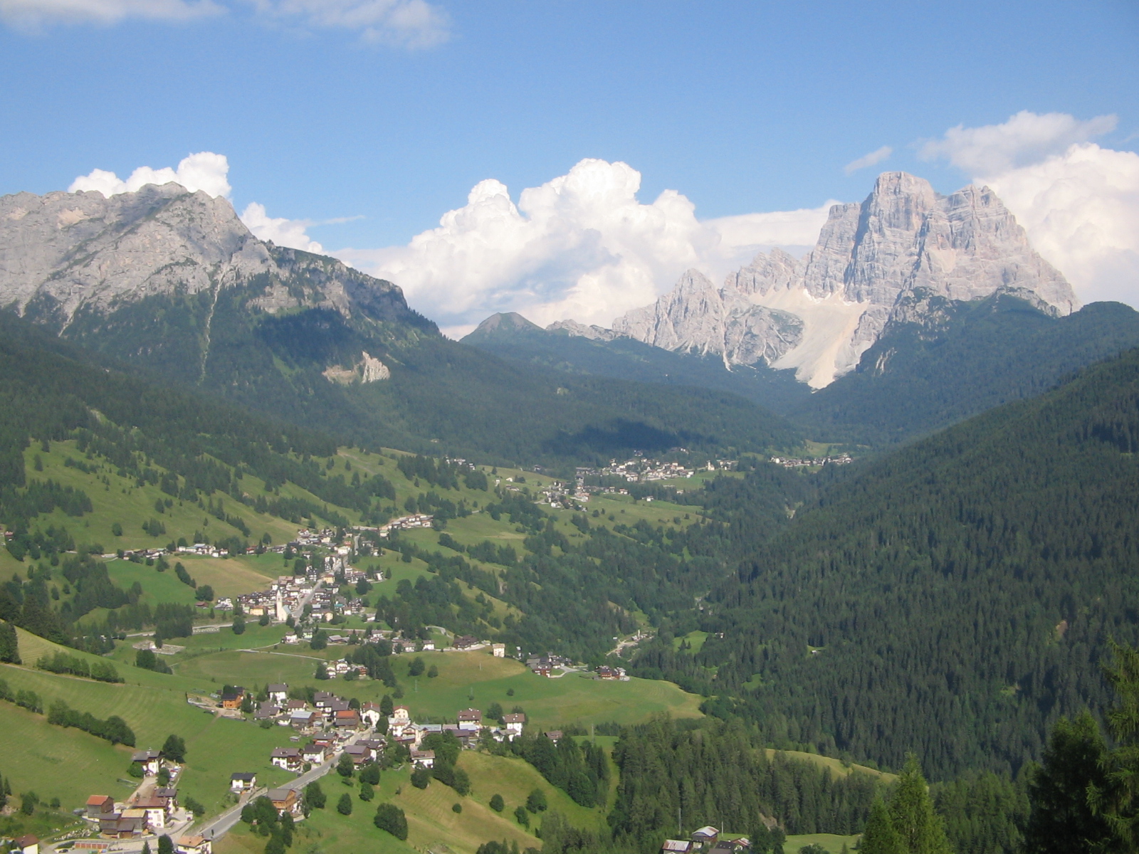
Village in the Val Fiorentina between the Pelmo and the Civetta, on the pass road to Selva di Cadore.
- 6Highlights
- 12Routes
- Featured summit · Col Dei Baldi
Highlights
All 6 from neighbouring places
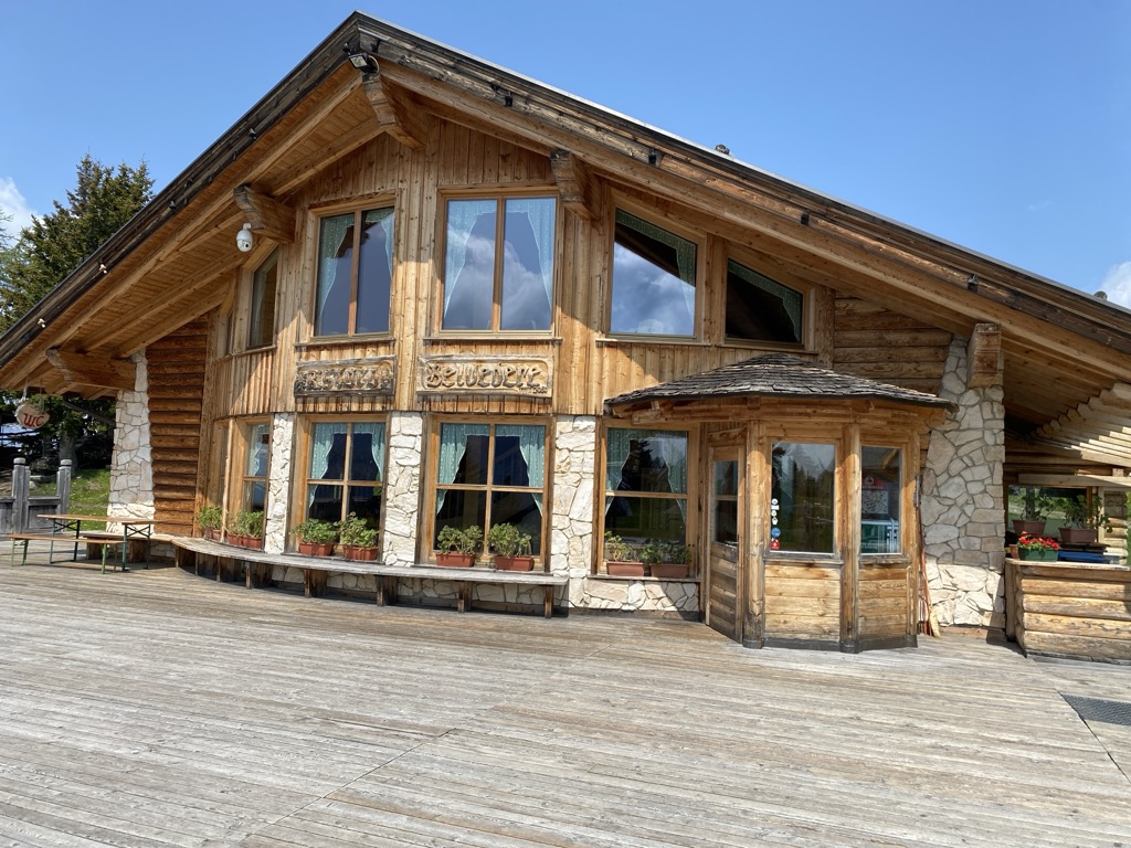
Rifugio Ristoro Belvedere
3.6 km away, in Alleghe
A hut on the lower slopes of the Civetta above Alleghe, reached from the Piani di Pezzè lift and looking across to the lake.
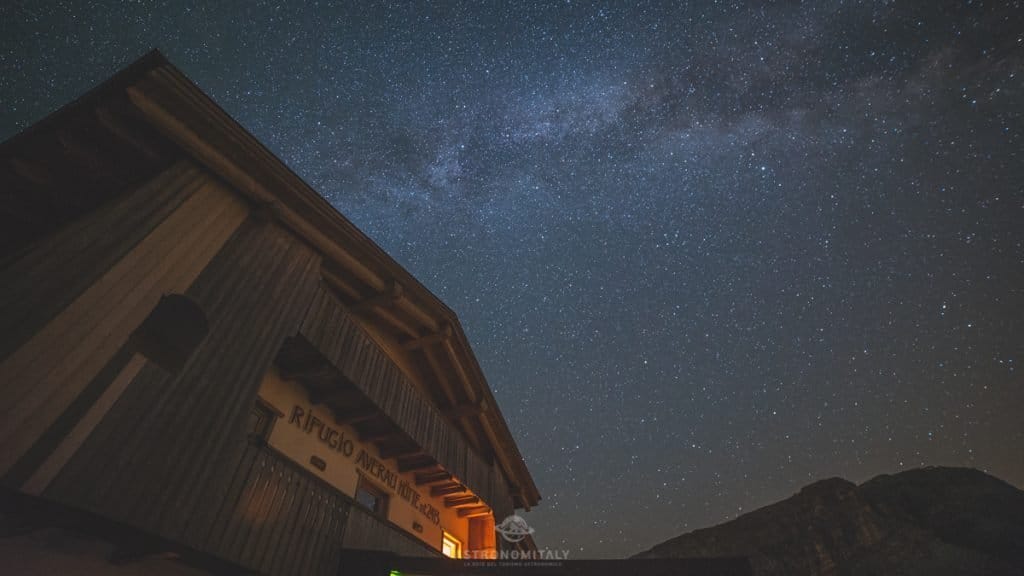
Rifugio Averau
5.8 km away, in Colle Santa Lucia
A hut below the Averau in the Cinque Torri group, a dark-sky site above the Giau pass.
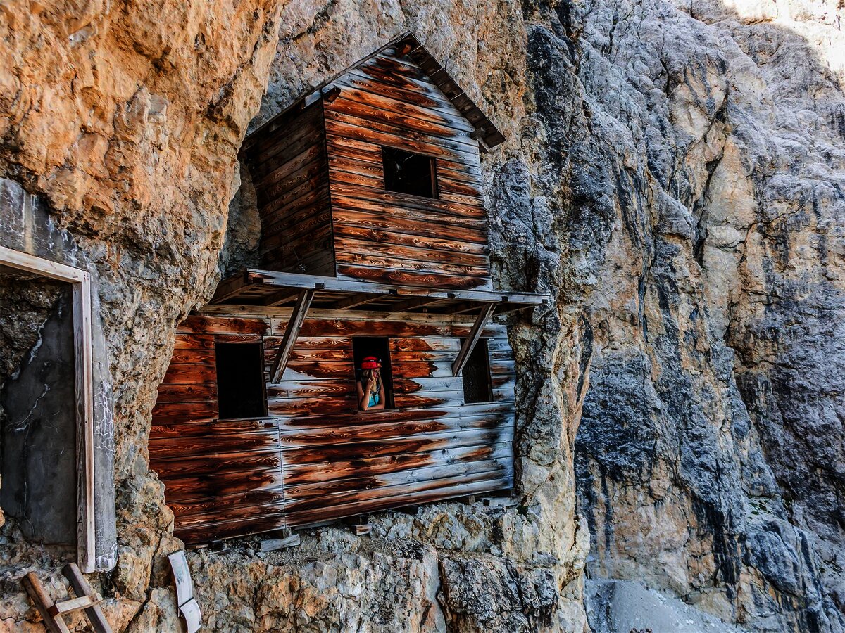
Museo/galleria del Lagazuoi
8.8 km away, in Cortina d'Ampezzo
Tunnels driven into the Lagazuoi by Italian and Austrian sappers between 1915 and 1917, now an open-air museum reached from the cable car.
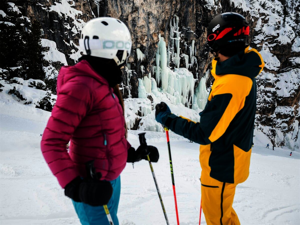
Cascate di ghiaccio allo Scotoni
12.7 km away, in Badia/Abtei
The frozen waterfalls below the Lagazuoi and Scotoni walls, an ice-climbing ground above the Alta Badia.
Cappella ai piedi del Sas Dlacia
13.7 km away, in Badia/Abtei
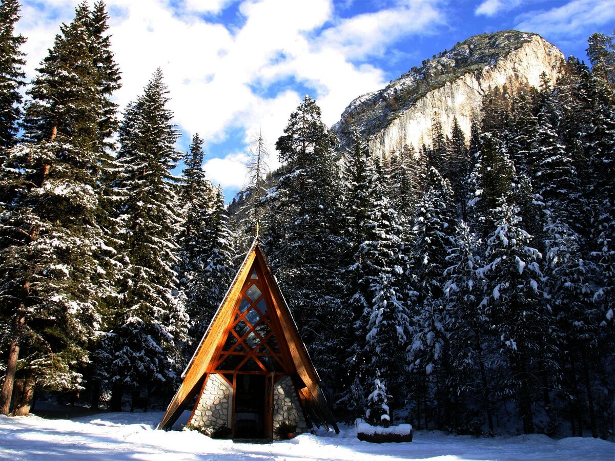
A chapel at the foot of the Sas Dlacia rock face above San Cassiano.
Parco Naturale Fanes
14 km away, in Badia/Abtei
The Fanes plateau above the Alta Badia, a high karst basin of the Fanes-Sennes-Braies park.
Nothing of this kind in Selva di Cadore.
Routes
Hikes at Alleghe 1 - Col dei Baldi Fertazza loop
A loop through the high meadows of the Civetta ski area, from the Col dei Baldi by the Boi Vescova and Fontanafredda dairies, both open in summer.
- 8.8 km
- Distance
- 534 m
- Ascent
- 3 h 42 min
- Duration
- 335
- Check-ins
 Col Dei Baldi 1 918 m
- Cima dei Viai - Cima Fertazza 2 101 m
 Ristoro Belvedere - Cima Fertazza 2 076 m
- Rifugio Col dei Baldi 1 922 m
- Ristoro La Ciasela 2 050 m
- Ristoro Fertazza 1 852 m
- +3
Open route Consorzio Operatori Turistici Alleghe - CaprileHikes in Alleghe 11 - Towards the Valfiorentina
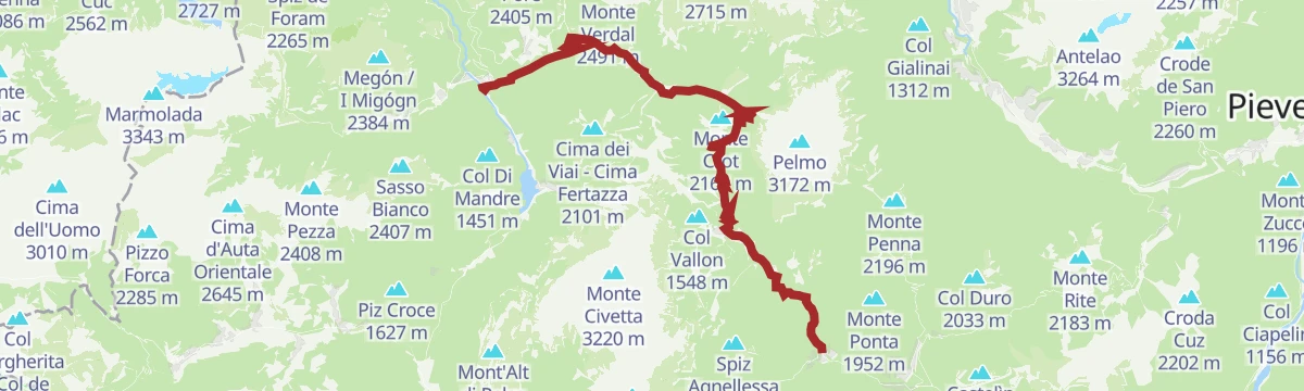
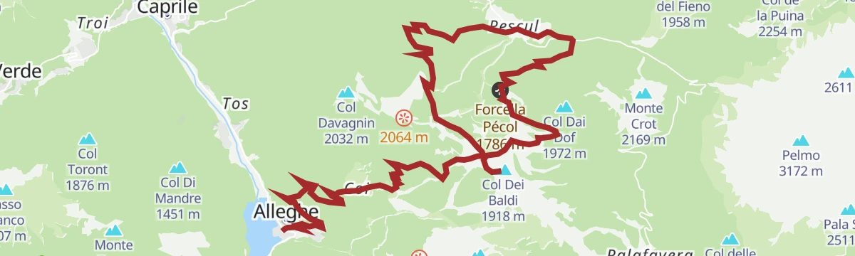
From the Col dei Baldi by the Boi Vescova and Fontanafredda dairies to the Forcella Pecol, then down a forest road to Palui and the Fiorentina stream.
- 20.1 km
- Distance
- 1 764 m
- Ascent
- 10 h 13 min
- Duration
- 478
- Check-ins
- Col Dei Baldi 1 918 m
- Ristoro Belvedere - Cima Fertazza 2 076 m
- Grande Baita Civetta 1 456 m
- Rifugio Col dei Baldi 1 922 m
- Ristoro La Ciasela 2 050 m
- Bierstube 977 m
- +9
Open route Consorzio Operatori Turistici Alleghe - CaprileMTB Alleghe 1 - Civetta Bike Tour
A signed circuit in the Civetta area combining lifts with forest-road climbs to Cima Fertazza, and steep technical descents for practised riders.
- 24.3 km
- Distance
- 1 025 m
- Ascent
- 3 h 21 min
- Duration
- 446
- Check-ins
- Cima dei Viai - Cima Fertazza 2 101 m
- Casera di Pioda 1 820 m
- Ristoro Belvedere - Cima Fertazza 2 076 m
- Rifugio Palafavera 1 514 m
- Grande Baita Civetta 1 456 m
- Ristoro La Ciasela 2 050 m
- +7
Open route Consorzio Operatori Turistici Alleghe - CaprilePALAFAVERA - COL DEI BALDI by E-BIKE (10)
A loop below Monte Civetta with the Pelmo in sight, passing Casera di Pioda and Agriturismo Malga Fontanafreda on the way up.
- 12.6 km
- Distance
- 509 m
- Ascent
- 1 h 36 min
- Duration
- 251
- Check-ins
- Col Dei Baldi 1 918 m
- Casera di Pioda 1 820 m
- Rifugio Palafavera 1 514 m
- Rifugio Col dei Baldi 1 922 m
- Agriturismo Malga Fontanafreda 1 770 m
Open route Consorzio Val di Zoldo TurismoRoad Bike Alleghe 5 - Pelmo Croda da Lago loop
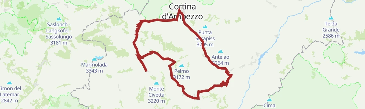
A big road loop from Alleghe with three Dolomite passes, Staulanza, Cibiana and Falzarego, and a string of valley villages in between.
- 118.4 km
- Distance
- 2 931 m
- Ascent
- 13 h 16 min
- Duration
- 783
- Check-ins
 Falzarego Pass 2 105 m
- Passo Staulanza 1 766 m
- Bar Bazar 2 106 m
- Rifugio Passo Staulanza 1 770 m
- Strobel 2 060 m
- Rifugio Monte Pelmo 1 520 m
- +22
Open route Consorzio Operatori Turistici Alleghe - CaprileStaulanza Pass
A road climb to the Staulanza pass between the Pelmo and the Civetta, long a fixture of the Giro d'Italia; Hinault rode it to effect in 1980.
- 27.0 km
- Distance
- 799 m
- Ascent
- 8 h 21 min
- Duration
- 325
- Check-ins
- Passo Staulanza 1 766 m
- Rifugio Passo Staulanza 1 770 m
- Rifugio Palafavera 1 514 m
- Rifugio Monte Pelmo 1 520 m
- Baita Flora Alpina 1 525 m
- Club delle Capre 1 510 m
- +2
Open route Dolomiti Bellunesi - The Mountains of VeniceCIVETTA E-BIKE ROUTE (14)
An e-bike loop in the Ski Civetta area up to Cima Fertazza at over 2,000 m, calling at Rifugio Col dei Baldi and Malga Staulanza.
- 24.0 km
- Distance
- 1 084 m
- Ascent
- 3 h 9 min
- Duration
- 394
- Check-ins
- Col Dei Baldi 1 918 m
- Cima dei Viai - Cima Fertazza 2 101 m
- Casera di Pioda 1 820 m
- Ristoro Belvedere - Cima Fertazza 2 076 m
- Rifugio Col dei Baldi 1 922 m
- Ristoro La Ciasela 2 050 m
- +4
Open route Consorzio Val di Zoldo TurismoRoad Bike Alleghe 1 - The Civetta Loop
A long road circuit out of Alleghe over Passo Duran and Passo Staulanza, two Dolomite climbs that the Giro d'Italia has used.
- 77.3 km
- Distance
- 2 029 m
- Ascent
- 8 h 46 min
- Duration
- 516
- Check-ins
- Passo Staulanza 1 766 m
- Rifugio Passo Staulanza 1 770 m
- Rifugio Monte Pelmo 1 520 m
- Passo Duran 1 605 m
- Rifugio San Sebastiano 1 596 m
- Bierstube 977 m
- +13
Open route Consorzio Operatori Turistici Alleghe - CaprileStrada de la Vena
The restored iron road of the Fodom, linking Colle Santa Lucia, where the ore was mined, with Andraz castle and its smelting furnace, through wood and pasture.
- 17.1 km
- Distance
- 831 m
- Ascent
- 6 h 54 min
- Duration
- 19
- Check-ins
Open route Arabba Fodom TurismoMtb Alleghe 7 - Alleghe Val Fiorentina Loop
A lift-assisted loop from Rifugio Col dei Baldi, descending past Agriturismo Malga Fontanafreda and taking a forest road out to Ristoro Fertazza.
- 22.8 km
- Distance
- 638 m
- Ascent
- 2 h 57 min
- Duration
- 323
- Check-ins
- Col Dei Baldi 1 918 m
- Grande Baita Civetta 1 456 m
- Rifugio Col dei Baldi 1 922 m
- Ristoro Sabe 1 409 m
- Baita Scoiattolo 1 457 m
- Ristoro Fertazza 1 852 m
- +5
Open route Consorzio Operatori Turistici Alleghe - CaprileMtb Alleghe 4 - Dolomite gems between Zoldo and Selva and Colle S.Lucia
A long ride from Col dei Baldi, reached by cable car, past Malga Pioda and Malga Staulanza, with a technical drop to Pecol below the Pelmo.
- 43.0 km
- Distance
- 1 213 m
- Ascent
- 5 h 18 min
- Duration
- 259
- Check-ins
- Col Dei Baldi 1 918 m
- Col Vallon 1 548 m
- Casera di Pioda 1 820 m
- Rifugio Col dei Baldi 1 922 m
- Agriturismo Malga Fontanafreda 1 770 m
- Malga Staulanza 1 680 m
- +4
Open route Consorzio Operatori Turistici Alleghe - CaprileTour of the Alpine Pastures of Val Fiorentina
A long circuit of the Val Fiorentina pastures below the Pelmo, also ridden on gravel bikes.
- 19.7 km
- Distance
- 843 m
- Ascent
- 2 h 33 min
- Duration
- 128
- Check-ins
- Ristoro Sabe 1 409 m
- Ristoro Fertazza 1 852 m
- Baita Flora Alpina 1 525 m
- Agriturismo Malga Fontanafreda 1 770 m
- Forcella Pécol 1 786 m
- Ristoro-Bar Blanchet 1 409 m
- +1
Open route Dolomiti Bellunesi - The Mountains of Venice
No routes of this kind in Selva di Cadore yet.
The region's own picks

Featured route
Hikes at Alleghe 1 - Col dei Baldi Fertazza loop
A loop through the high meadows of the Civetta ski area, from the Col dei Baldi by the Boi Vescova and Fontanafredda dairies, both open in summer.
Planning a trip to Selva di Cadore?
Everything else Veneto has, in one place


Take Selva di Cadore with you into the mountains
Every route on this page with 3D terrain, GPX navigation and offline maps — including the valleys with no signal.
Data sources
- Official website: agordinodolomiti.it ↗
- Routes and highlights: Consorzio Operatori Turistici Alleghe - Caprile, Alta Badia, Consorzio Val di Zoldo Turismo, Dolomiti Bellunesi - The Mountains of Venice, YesAlps, Astrotourism, Sterzing, Pfitsch und Freienfeld, Arabba Fodom Turismo
- Published as open data by the tourist boards named above.
- Region summary generated from the board's own material.
