
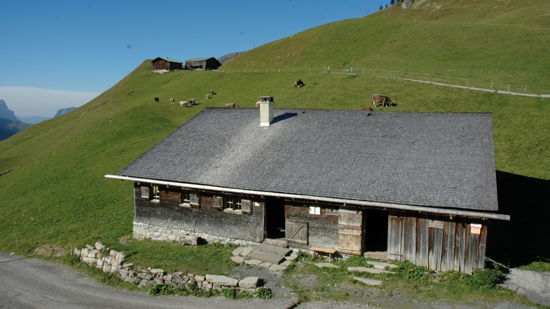
 Mountain hut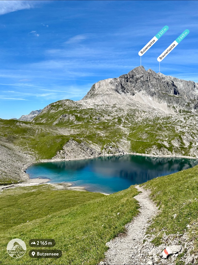
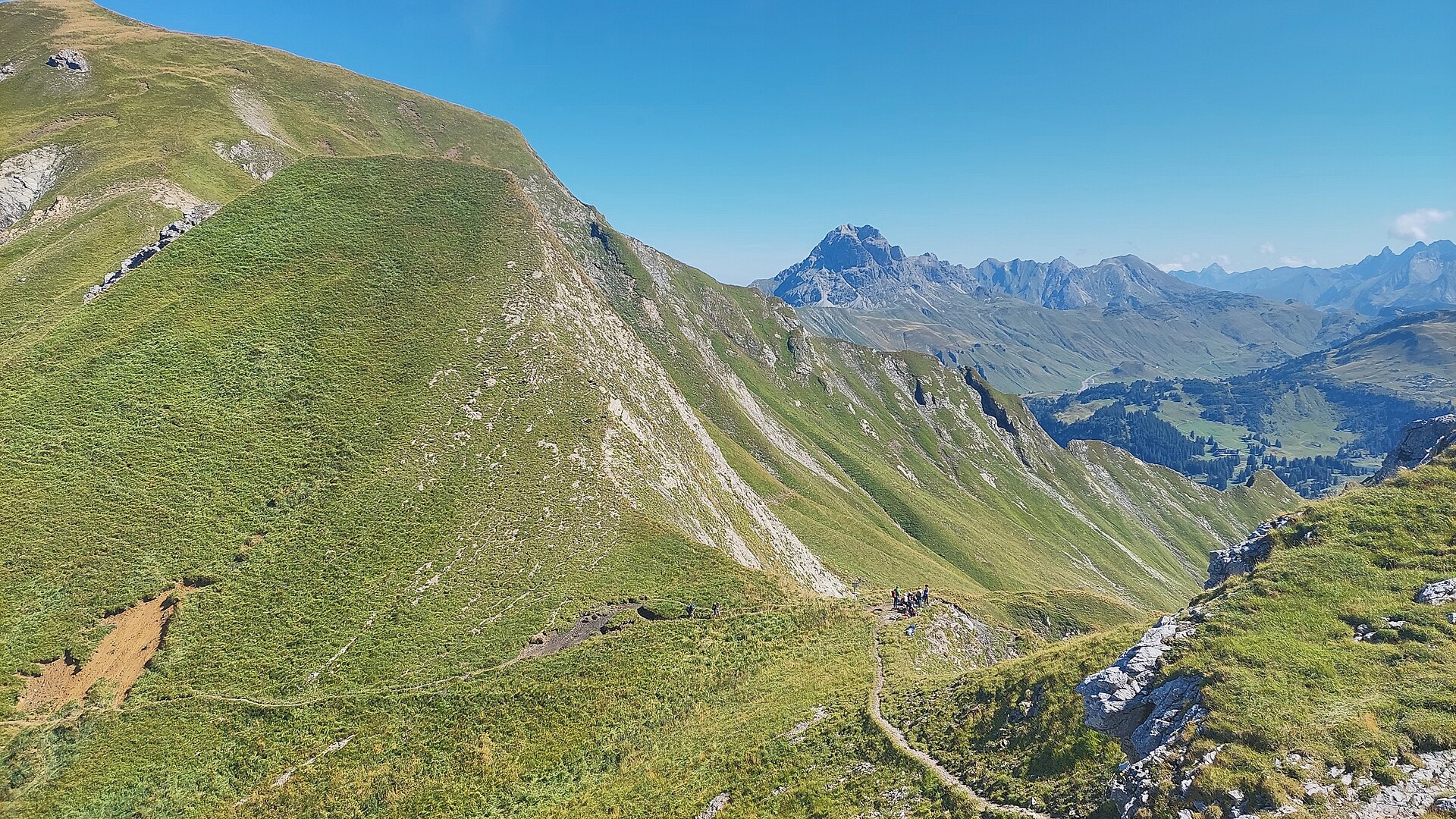
 Mountain pass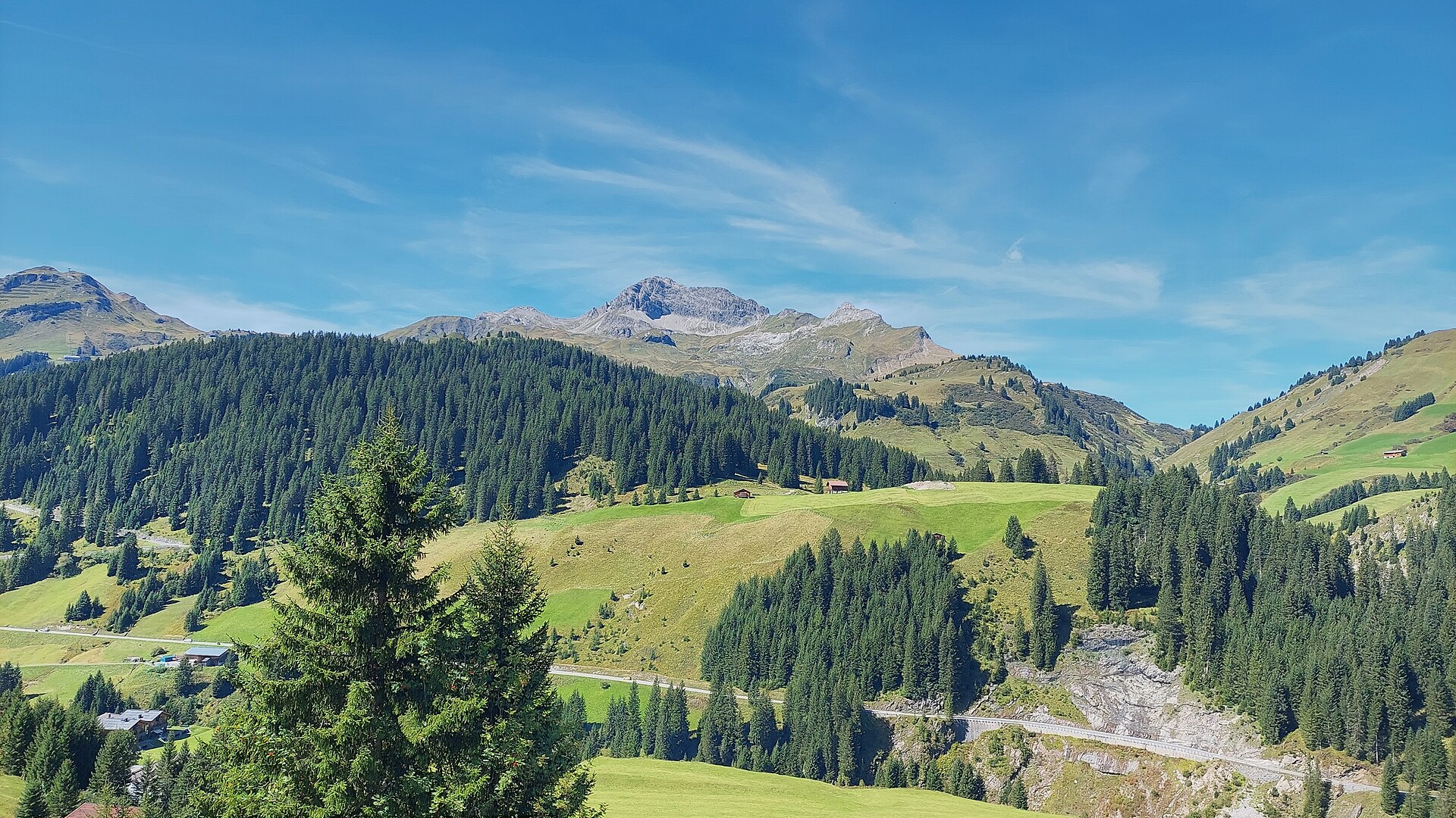



















Curated by Warth-Schröcken Tourismus
Schröcken
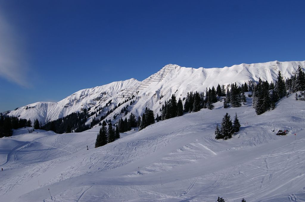
A small Walser village at about 1270 m on the Tannberg above the young Bregenzer Ach, its slopes linked with Warth into the wider Arlberg ski country.
- 9Highlights
- 84Routes
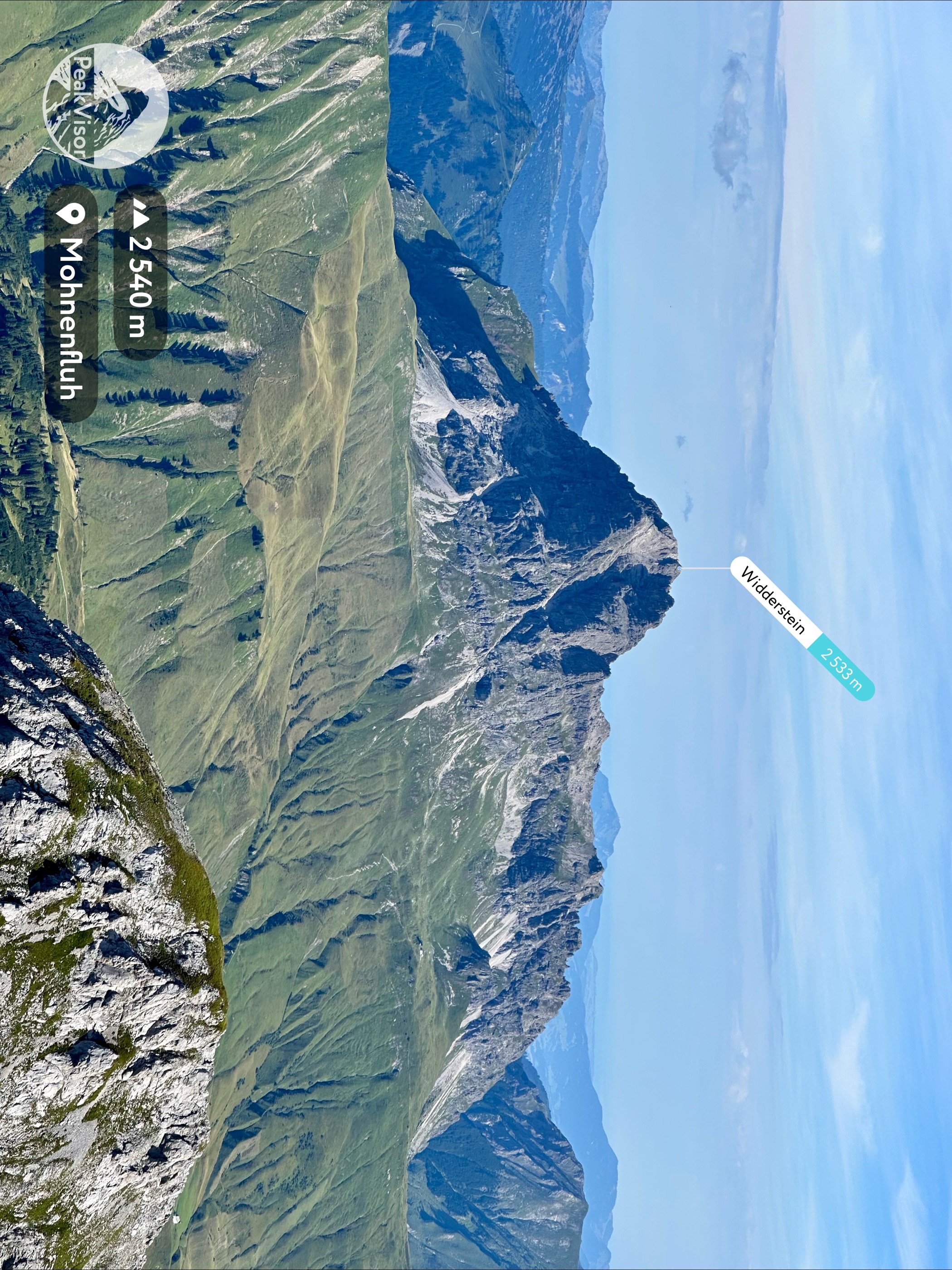
- Featured summit · Widderstein
Highlights
6 from neighbouring places
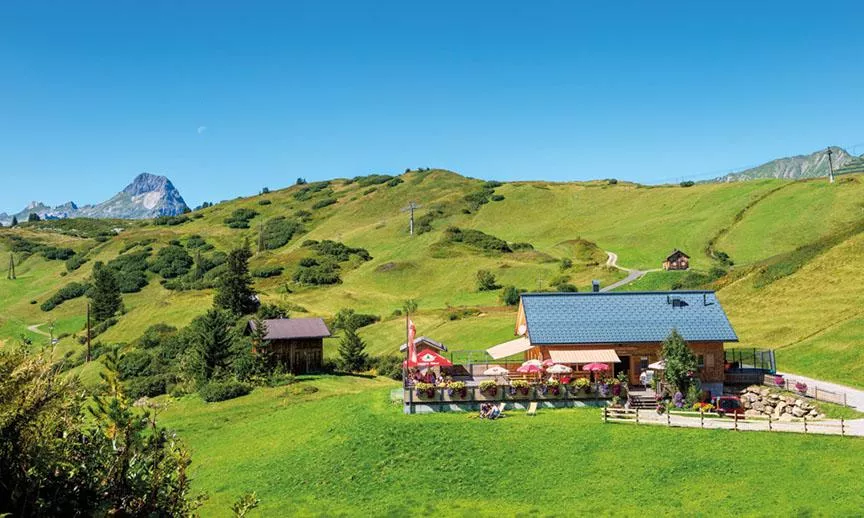
Auenfelder Hütte
A mountain hut in the Auenfeld area between Lech and Warth at the head of the Lech valley, serving Austrian and traditional dishes.
Butzensee
A small natural lake at 2,119 m in the saddle hollow between the Mohnenfluh, the Butzenspitze and the Zuger Hochlicht.
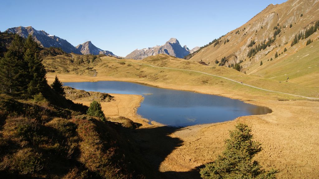
Körbersee
A lake at 1,654 m southwest of the Hochtannbergpass in the Lechquellen mountains, reachable only on foot.
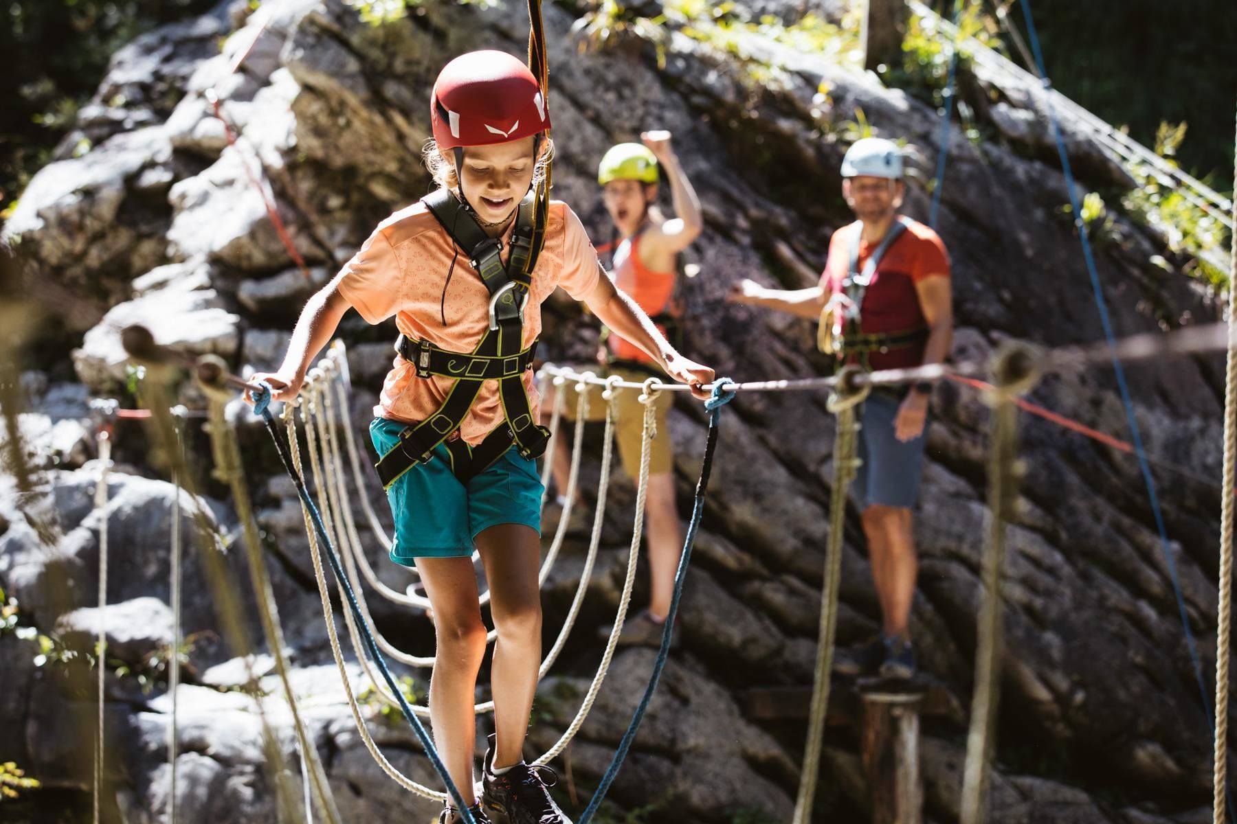
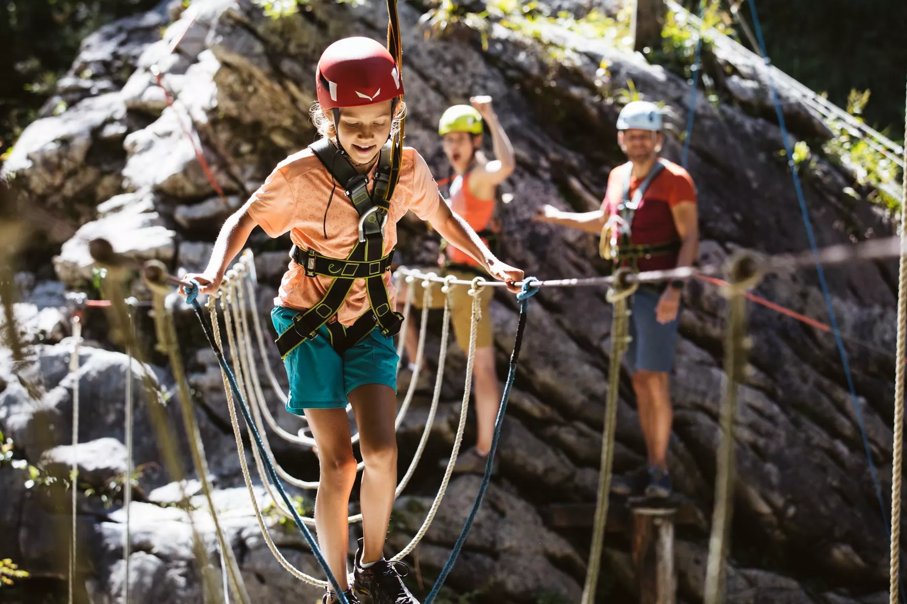
Abenteuerpark Schröcken
An adventure park at Schröcken in the Bregenzerwald, with climbing and rope elements above the young Bregenzerach valley.
Abenteuerpark und Hochseilgarten Schröcken
A high-ropes and adventure park at Schröcken in the upper Lech valley, with rope courses and a flying fox among the trees.
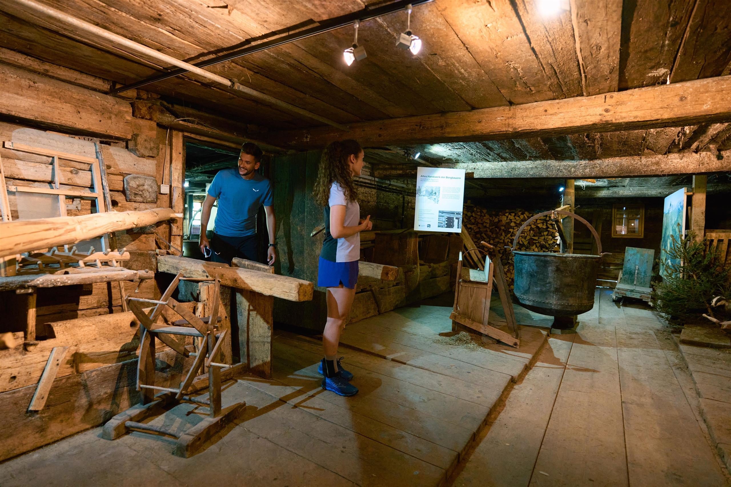
Alpmuesum "Uf'm Tannberg"
A small alpine museum at Schröcken presenting the Walser settlement and dairy farming history of the Tannberg region.
Alpmuseum „uf m Tannberg“ in Schröcken
A museum of earlier life on the alp, with a standing exhibition on the old crafts of the mountain farmers.
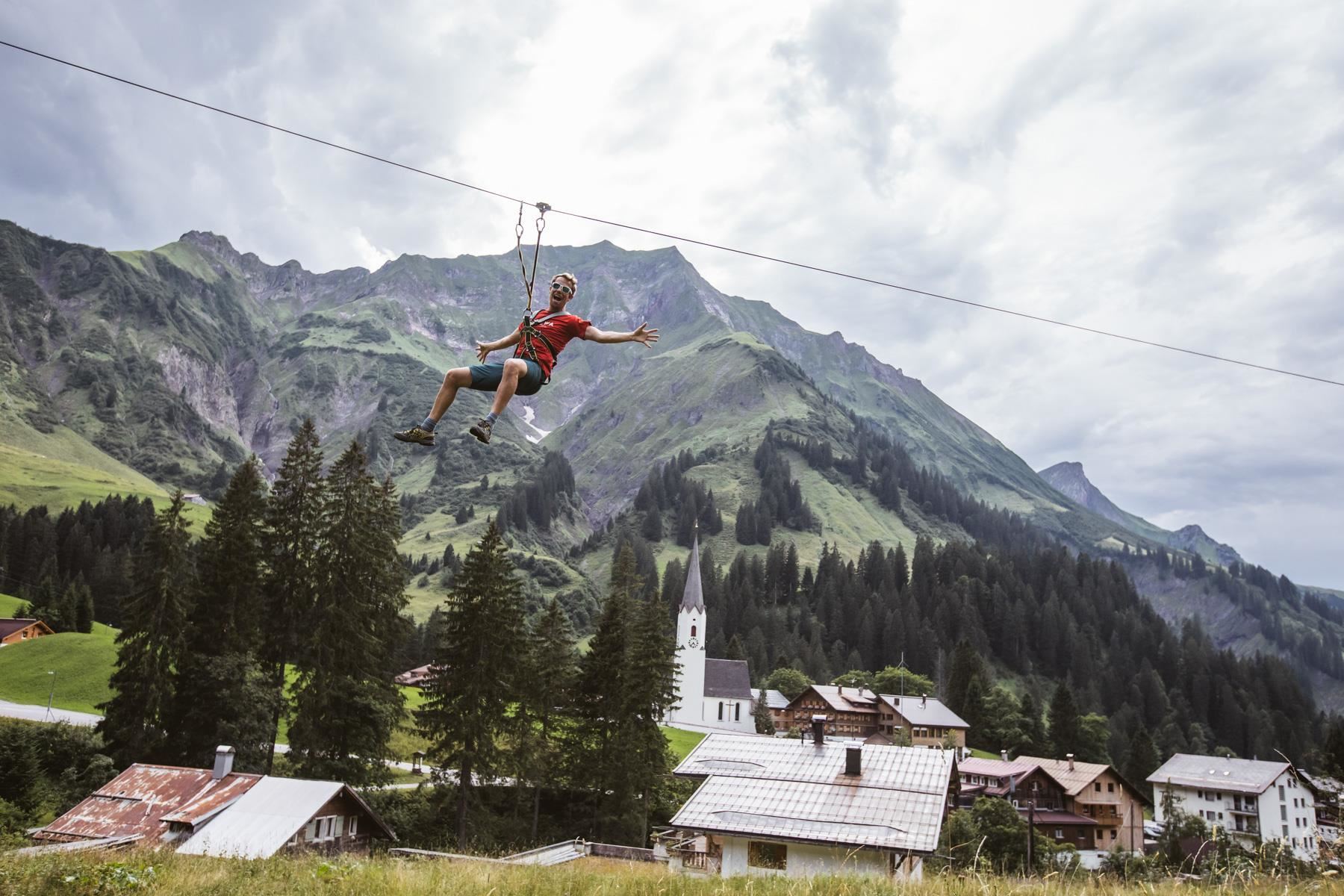
Flying Fox Park Safari
A zipline course at Schröcken in the Bregenzerwald, a series of flying-fox cables crossing the mountain terrain above the village.
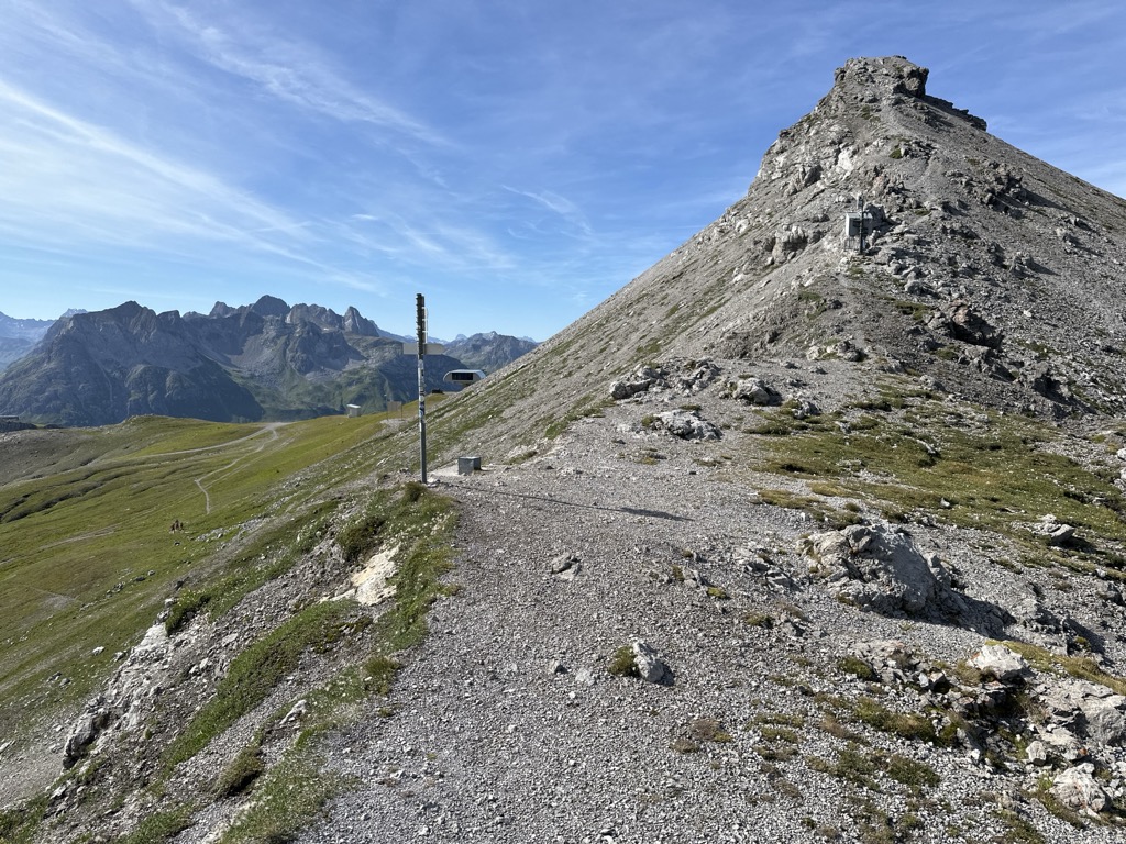
Fürggele
A crossing at 2,145 m below the Braunarlspitze, its steeper steps secured with cable.
Juppenscharte
2.2 km away, in Lech
A notch at 2,342 m south-east of the village, the highest of the crossings listed here.
Höferspitze
2.5 km away, in Mittelberg
A 2,131 m secondary top of the Heiterberg, climbed from Baad in winter and from the Hochtannbergpass in summer.
Mohnenfluh
2.6 km away, in Lech
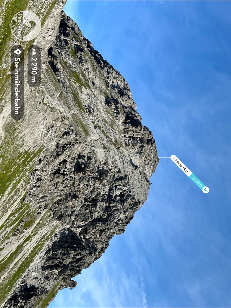
A summit of the Lechquellen mountains above Oberlech, best climbed for sunrise.
Mohnensattel
3 km away, in Lech
A saddle at 2,316 m south of the village, close above the Butzensee on the way to the Mohnenfluh.
Kalbelesee
3 km away, in Warth
A natural high-mountain lake at about 1,653 m, lying a few metres from the road over the Hochtannbergpass.
Braunarlscharte
3.1 km away, in Lech
The notch under the Braunarlspitze, crossed on the way to the Göppinger Hütte.
Nothing of this kind in Schröcken.
Routes
50 routes, an even mix of activities · see the rest on warth-schroecken.com ↗
Schröcken | Geocaching Tour "Walserdorf & Naturjuwelen"
Geocaching round from Neßlegg up to the Körbersee, then down past the Alpe Felle and over the Bregenzerache into Schröcken.
- 6.6 km
- Distance
- 191 m
- Ascent
- 2 h 14 min
- Duration
- 20
- Check-ins
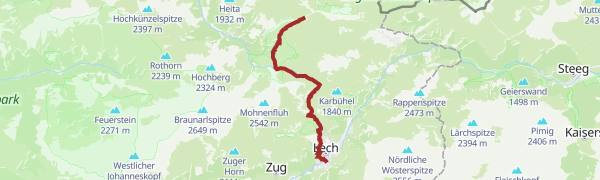
Warth | Vom Hochtannbergpass über den Körbersee nach Lech
Point-to-point from the Hochtannbergpass by the Körbersee, then across the Auenfeld meadows and over Oberlech down into Lech.
- 11.3 km
- Distance
- 287 m
- Ascent
- 3 h 33 min
- Duration
- 60
- Check-ins
Warth | Lechschleife "Walserpfade und Gipfelblicke - Wandern zwischen Gestern und Heute"
Loop through the Lech valley's Walser past: from Warth by the Wannensee to the old settlement of Bürstegg, then over the Auenfeldsattel into the Auenfeld.
- 15.4 km
- Distance
- 371 m
- Ascent
- 4 h 52 min
- Duration
- 68
- Check-ins
Landsteg - Hochberg
Hochberg from Landsteg: 1,227 m of climbing in 5.2 km, topping out at 2,293 m.
- 4.5 km
- Distance
- 0 m
- Ascent
- 0 m
- Descent
- 1 h 5 min
- Duration
Open route PeakVisor tTRL (OpenStreetMap piste_type=skitour)Schröcken - Karhorn
From Schröcken at 1,262 m, 1,123 m of ascent over 7.4 km to Karhorn.
- 6.3 km
- Distance
- 0 m
- Ascent
- 0 m
- Descent
- 1 h 32 min
- Duration
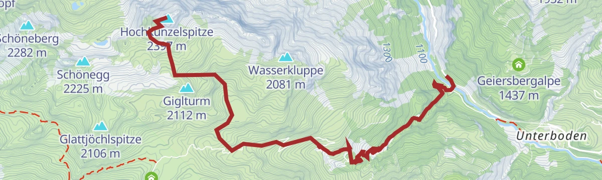
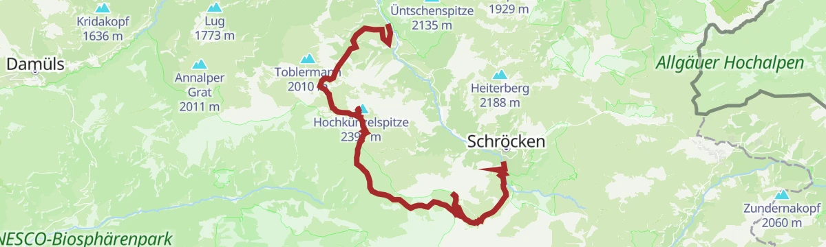
Open route PeakVisor tTRL (OpenStreetMap piste_type=skitour)Schröcken | Skitour Hochkünzelspitze
A long ski tour onto one of the highest summits of the Bregenzerwald, starting from the main road at Hopfreben.
- 5.7 km
- Distance
- 1 306 m
- Ascent
- 11 m
- Descent
- 3 h 29 min
- Duration
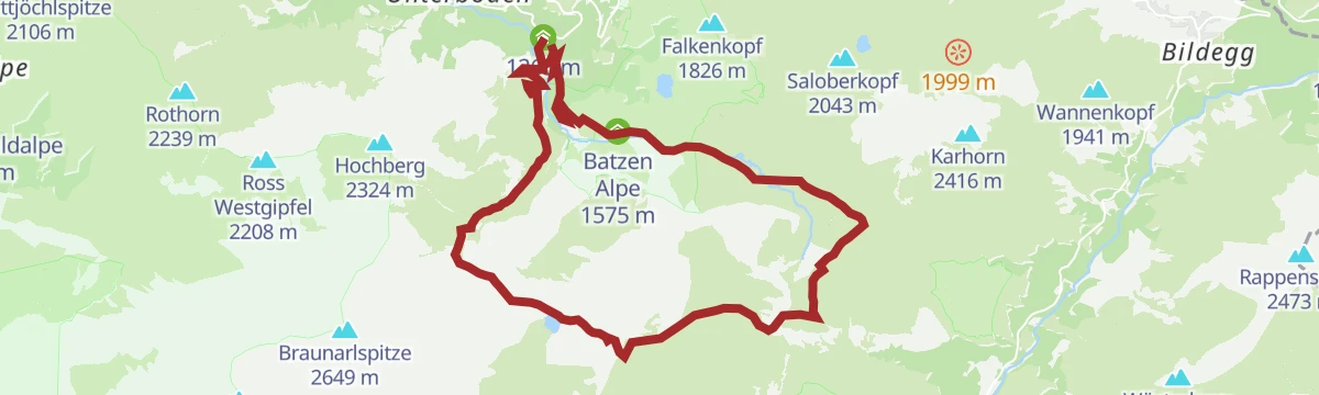
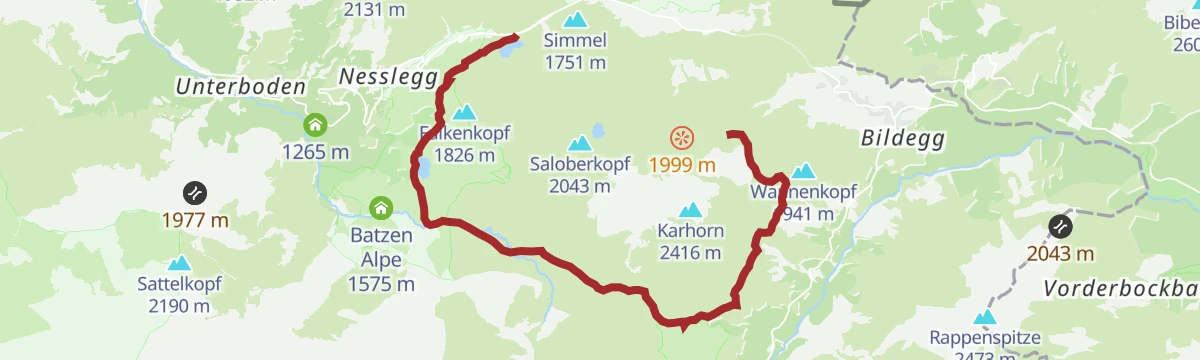
Open route Vorarlberg TourismusSchröcken | Tannberg - Runde
A moderate circuit on the high pastures above Schröcken, crossing the Salobersattel and passing the Auenfelder Hütte and Batzen Alpe.
- 15.0 km
- Distance
- 665 m
- Ascent
- 1 h 57 min
- Duration
- 38
- Check-ins
Warth | Bike & Hike Widderstein (2.533 m)
A ride over the Hochalppass to the Widdersteinhütte, the starting point for the walk up the Widderstein and its Südwestgipfel.
- 21.6 km
- Distance
- 1 273 m
- Ascent
- 3 h 31 min
- Duration
- 138
- Check-ins
St. Anton - Lech - Bregenzerwald - Bodensee
A long road stage crossing the Arlberg, the Flexenpass and the Losenpass on the way from Tirol down to the shore of Lake Constance.
- 87.4 km
- Distance
- 2 340 m
- Ascent
- 9 h 57 min
- Duration
- 175
- Check-ins
Schröcken | Kraftplatz - Körbersee
A short, steep 1.6 km from Neßlegg: first a narrow path, then a forest track up to the Körbersee and its Berghotel.
- 1.6 km
- Distance
- 165 m
- Ascent
- 43 min
- Duration
- 17
- Check-ins
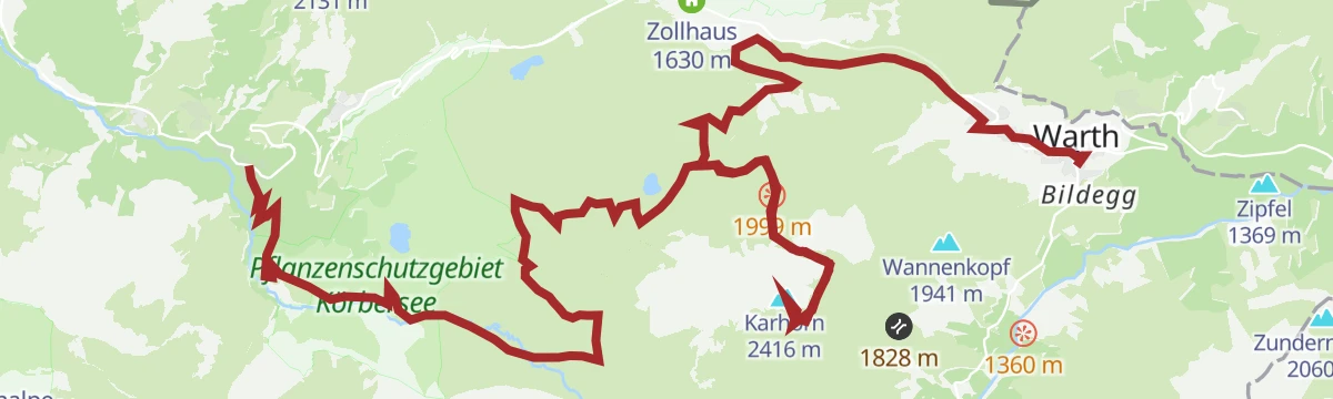
Warth-Schröcken | Auf den Spuren der Walser
Walser-history route from Schröcken by way of the Alpe Felle and the Körbersee to Warth, with the Jägeralpe near the finish.
- 12.6 km
- Distance
- 596 m
- Ascent
- 4 h 13 min
- Duration
- 56
- Check-ins
Schröcken | Gipfeltour Braunarlspitze mit Übernachtung auf der Göppinger Hütte
Two-day summit trip over the Fürggele to the Braunarlspitze, where cabled rock and loose slate need care, then down by Zug to Lech with a night at the Göppinger Hütte.
- 21.8 km
- Distance
- 1 654 m
- Ascent
- 10 h 26 min
- Duration
- 44
- Check-ins
Landsteg - Rothorn
A ski tour from Landsteg to Rothorn, 1,156 m of climbing in 4 km to a high point of 2,230 m.
- 3.6 km
- Distance
- 0 m
- Ascent
- 0 m
- Descent
- 53 min
- Duration
Open route PeakVisor tTRL (OpenStreetMap piste_type=skitour)Schröcken | Skitour Juppenspitze
A ski tour starting behind the Hotel Mohnenfluh, up the Körbersee piste and the Auenfeld to evenly angled sunny slopes.
- 7.0 km
- Distance
- 1 144 m
- Ascent
- 0 m
- Descent
- 3 h 18 min
- Duration
Open route Vorarlberg TourismusSchröcken | Tannberg Runde 1 mit dem Mountainbike
A gentler version of the plateau loop above Schröcken, taking in the Alpekörb, the Salobersattel and the alps of the Auenfeld.
- 13.9 km
- Distance
- 540 m
- Ascent
- 1 h 44 min
- Duration
- 38
- Check-ins
Warth-Schröcken | Mountainbikerunde
The full round of the area, more than 1,000 m of climbing linking the Hochalphütte, the Auenfeld alps and the Untere Widdersteinhütte.
- 26.8 km
- Distance
- 1 064 m
- Ascent
- 3 h 23 min
- Duration
- 114
- Check-ins
Schröcken | Bike & Hike Rote Wand (2.704 m)
A long day out of the village: ride over the Auenfeldsattel towards Oberlech, then walk to the 2,704 m Rote Wand.
- 51.5 km
- Distance
- 2 209 m
- Ascent
- 6 h 36 min
- Duration
Open route Vorarlberg TourismusSchröcken | Von See zu See. Zum schönsten Platz Österreichs
Lake-to-lake there-and-back on a well-made path, from the Kalbelesee on the Hochtannberg across to the Körbersee.
- 5.6 km
- Distance
- 181 m
- Ascent
- 1 h 45 min
- Duration
- 15
- Check-ins
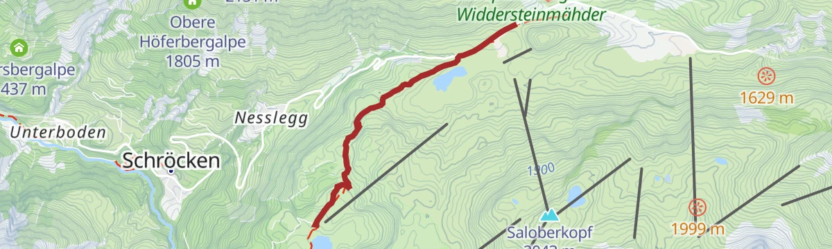
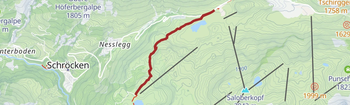
Warth | Vom Hochtannbergpass über den Salobersattel zur Auenfelderhütte und retour über den Körbersee
Round from the Hochtannbergpass over the Salobersattel to the Auenfelder Hütte, then along the Auenfeld and back by the Körbersee and the Kalbelesee.
- 9.1 km
- Distance
- 253 m
- Ascent
- 2 h 46 min
- Duration
- 52
- Check-ins
Schröcken | Butzenseerundweg
Big loop from Schröcken by the Alpe Felle to the Butzensee, up to the Mohnensattel and back through the Auenfeld, with the Mohnenfluh as an optional summit.
- 16.1 km
- Distance
- 1 072 m
- Ascent
- 7 h 13 min
- Duration
- 34
- Check-ins
Schröcken - Braunarlspitze
A ski tour from Schröcken to Braunarlspitze, 1,388 m of climbing in 5.2 km to a high point of 2,627 m.
- 4.7 km
- Distance
- 0 m
- Ascent
- 0 m
- Descent
- 1 h 9 min
- Duration
Open route PeakVisor tTRL (OpenStreetMap piste_type=skitour)Schröcken | Bike ab Schröcken
A short climb from the village up to the Auenfeldsattel, passing the Batzen Alpe and the Untere Auenfeldalpe on the saddle's flank.
- 7.3 km
- Distance
- 515 m
- Ascent
- 57 min
- Duration
- 25
- Check-ins
Schröcken | Bike & Hike Roggelskopf (2.284 m)
A long ride from Schröcken through Lech and the Auenfeld to the Freiburger Hütte, where the bike is left for the climb on foot.
- 49.0 km
- Distance
- 1 657 m
- Ascent
- 5 h 51 min
- Duration
- 112
- Check-ins
Warth | Bike & Hike Geißhorn (2.366 m)
From Warth by the old salt road and the Tschirggen, then on foot to the 2,366 m Geißhorn.
- 24.8 km
- Distance
- 1 081 m
- Ascent
- 3 h 18 min
- Duration
Open route Vorarlberg TourismusWarth | Vom Kalbelesee zum Körbersee und retour
A 4.8 km out-and-back between two lakes on the Hochtannberg, with the Berghotel at the Körbersee for a break before you retrace the path.
- 4.8 km
- Distance
- 139 m
- Ascent
- 1 h 29 min
- Duration
- 12
- Check-ins
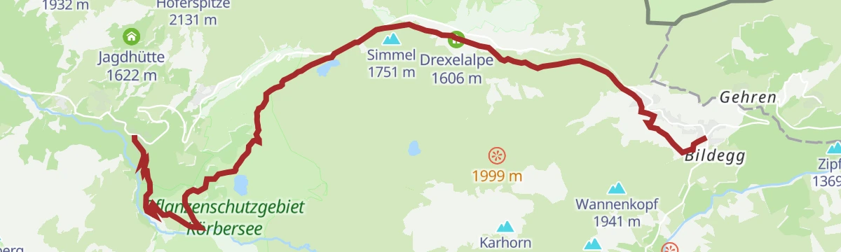
Schröcken | Von Schröcken über den Körbersee auf der Alten Salzstraße nach Warth
Village-to-village day from Schröcken through the Bregenzerache gorge and past the Körbersee, then over the Hochtannbergpass and along the Alte Salzstraße into Warth.
- 13.5 km
- Distance
- 626 m
- Ascent
- 4 h 30 min
- Duration
- 46
- Check-ins
Warth | Schoppernau | Gipfeltour Hochkünzelspitze und Hochberg mit Übernachtung auf der Biberacher Hütte
A two-day outing from Vorderhopfreben over the 2,397 m Hochkünzelspitze to a night at the Biberacher Hütte, then across the Fürggele to the Hochberg and down to Schröcken.
- 22.6 km
- Distance
- 2 166 m
- Ascent
- 12 h 46 min
- Duration
- 16
- Check-ins
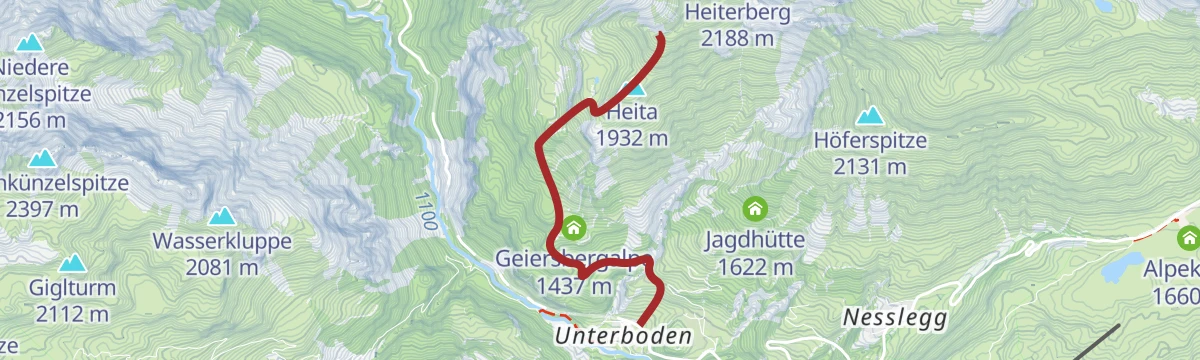
Unterboden - Heiterberg
917 m on skis from Unterboden to Heiterberg, 3.5 km with its high point at 2,062 m.
- 3.2 km
- Distance
- 0 m
- Ascent
- 0 m
- Descent
- 47 min
- Duration
Open route PeakVisor tTRL (OpenStreetMap piste_type=skitour)Schröcken | Mohnenfluh (2.542 m)
A high mountain-bike crossing above Lech, over the Oberer Kriegersattel and up to the Mohnensattel at 2,316 m, passing the Butzensee.
- 10.5 km
- Distance
- 693 m
- Ascent
- 2 h 15 min
- Duration
- 25
- Check-ins
Warth | Bike & Hike Wartherhorn (2.256 m)
Alp roads lead over the Saloberkopf past the Jägeralpe to the huts at Hochalp, from where the Warther Horn is reached on foot.
- 20.6 km
- Distance
- 898 m
- Ascent
- 2 h 46 min
- Duration
- 112
- Check-ins
Schröcken | Dorfweg, Einsichten & Aussichten
Short village round from the church past a glacial mill left behind by the ice age, crossing the Fellbach to the Alpe Felle for a view over the whole of Schröcken.
- 3.6 km
- Distance
- 203 m
- Ascent
- 1 h 27 min
- Duration
Warth | Von Warth über den Hochtannbergpass und Körbersee nach Schröcken
Village-to-village walk on the Alte Salzstraße past the Hotel Jägeralpe, over the Hochtannbergpass and by the Kalbelesee and the Körbersee into Schröcken.
- 11.6 km
- Distance
- 358 m
- Ascent
- 3 h 48 min
- Duration
- 40
- Check-ins
Schröcken | Zum höchsten Punkt - auf die Braunarlspitze
Ascent of the Braunarlspitze, at 2,649 m the highest point around Schröcken, reached by the Fellealpe and then the Fürggele, and left by the Butzensee and the Jägersteig.
- 15.6 km
- Distance
- 1 585 m
- Ascent
- 9 h 43 min
- Duration
- 14
- Check-ins
Warth-Schröcken | Seven Summits Week (Etappe 4 von 4)
The closing stage of the week, climbing from Schröcken past the Berghaus and the Obere Höferbergalpe towards the Höferspitze.
- 7.0 km
- Distance
- 478 m
- Ascent
- 1 h 30 min
- Duration
- 15
- Check-ins
Schröcken | Bike & Hike Saladinaspitze (2.238 m)
A long approach from Schröcken past Gasthaus Älpele and up to the Freiburger Hütte, where the riding ends and the walking starts.
- 46.5 km
- Distance
- 1 541 m
- Ascent
- 5 h 31 min
- Duration
- 110
- Check-ins
Schröcken | Kraftplatz - Gletschermühle
Brief walk from the village centre past the old Hotel Mohnenfluh to the Alpe Felle, ending at the viewpoint over the glacial mill in the Fellbach.
- 1.9 km
- Distance
- 173 m
- Ascent
- 50 min
- Duration
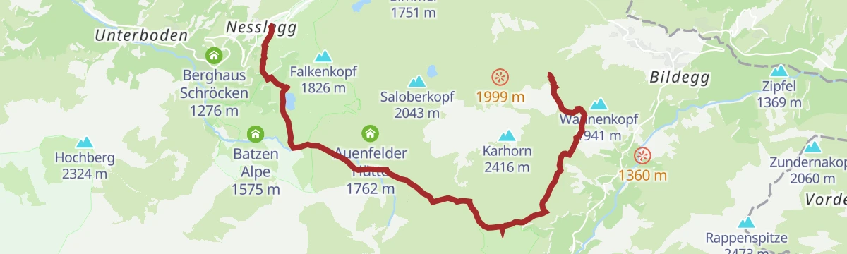
Warth | Vom Steffisalp-Express über Bürstegg zum Körbersee nach Schröcken/Nesslegg
Lift-assisted crossing by the Wannenkopf and Bürstegg, once the highest Walser settlement in Vorarlberg, then over the Auenfeldsattel and past the Körbersee down to Neßlegg.
- 9.8 km
- Distance
- 228 m
- Ascent
- 3 h 12 min
- Duration
- 39
- Check-ins
Schröcken | Von Schröcken über's Fürggele zur Biberacher Hütte nach Landsteg
Crossing from Schröcken over the Fürggele, the day's high point, then under the Hochberg to the Biberacher Hütte and down to Landsteg, where a bus runs back.
- 14.9 km
- Distance
- 964 m
- Ascent
- 6 h 53 min
- Duration
- 12
- Check-ins
Warth | Höferspitze (2.131 m) ab Hochtannbergpass
A short, sharp climb from the Hochtannbergpass past the Untere Widdersteinhütte, over 500 m of ascent in barely 6 km.
- 5.6 km
- Distance
- 485 m
- Ascent
- 1 h 10 min
- Duration
- 14
- Check-ins
Schröcken | Formarinsee Mountainbikerunde
A wide mountain-bike loop from Schröcken through Lech, climbing to the Freiburger Hütte before the run back over the Auenfeld.
- 57.3 km
- Distance
- 1 604 m
- Ascent
- 6 h 36 min
- Duration
- 109
- Check-ins
Schröcken | Neßlegg Runde
Short round from Neßlegg through the Litzetobel gorge and up to the houses at Schlössle, dropping back to the main road at the Joch.
- 2.8 km
- Distance
- 138 m
- Ascent
- 60 min
- Duration
Warth-Schröcken | Zur Alpe Untere Auenfeld Lech
From the Steffisalp top station under the Warther Horn to Bürstegg, along the Auenfeld to the Untere Auenfeldalpe and out past the Körbersee to the Hochtannbergpass.
- 10.8 km
- Distance
- 303 m
- Ascent
- 3 h 29 min
- Duration
- 39
- Check-ins
Warth-Schröcken | Rookie Summits Tour Schröcken
Shortened take on the Seven Summits route, topping out on the 2,324 m Hochberg before the Sattelkopf, the Biberacher Hütte and the walk back beside the Bregenzerache.
- 20.0 km
- Distance
- 1 445 m
- Ascent
- 9 h 32 min
- Duration
- 12
- Check-ins
Warth | Sonnenuntergangstour Höferspitze (2.131 m)
An evening ride up to the Untere Widdersteinhütte and the foot of the Höferspitze, about 460 m of climbing over a little under 6 km.
- 5.6 km
- Distance
- 431 m
- Ascent
- 1 h 4 min
- Duration
- 14
- Check-ins
Warth | Bike & Hike Karhorn (2.416 m)
A climb from the Tannberg to the Hochalphütte and the Hochalp Sennerei, with the last stretch up to the Karhorn done on foot.
- 22.4 km
- Distance
- 1 125 m
- Ascent
- 3 h 17 min
- Duration
- 109
- Check-ins
Schröcken | Zur Alpe Treu
Short, easy walk from Schröcken up to the Alpe Treu, with 217 m of climbing over 3.6 km.
- 3.6 km
- Distance
- 200 m
- Ascent
- 1 h 25 min
- Duration
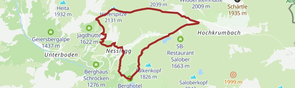
Schröcken | Rundtour von Neßlegg zum Körbersee, auf die Höferspitze und wieder nach Neßlegg
Round from Neßlegg by the Körbersee and the Hochtannbergpass, climbing beside the Bärguntbach to the Höferspitze and returning through the Litzetobel gorge.
- 10.6 km
- Distance
- 754 m
- Ascent
- 4 h 59 min
- Duration
- 32
- Check-ins
Schröcken | Von Schröcken zur Göppinger Hütte
A climb of 1,332 m from Schröcken by the Alpe Felle and the Butzensee, then on under the Braunarlspitze to the Göppinger Hütte.
- 11.0 km
- Distance
- 1 323 m
- Ascent
- 6 h 3 min
- Duration
- 6
- Check-ins
Schröcken | Höferspitze (2.131 m) ab Schröcken
A short forest-road climb from the village to the Obere Höferbergalpe, with the summit walk starting from the alp at 1,805 m.
- 6.6 km
- Distance
- 688 m
- Ascent
- 1 h 36 min
- Duration
- 7
- Check-ins
Schröcken | Bike & Hike zum Formarinsee und Steinernes Meer
A long ride out of Schröcken by way of the Auenfeld and Lech, ending at the Freiburger Hütte high above the valley head.
- 46.0 km
- Distance
- 1 324 m
- Ascent
- 5 h 16 min
- Duration
- 104
- Check-ins
No routes of this kind in Schröcken yet.
The region's own picks
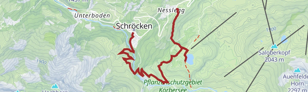
Featured route
Schröcken | Geocaching Tour "Walserdorf & Naturjuwelen"
Geocaching round from Neßlegg up to the Körbersee, then down past the Alpe Felle and over the Bregenzerache into Schröcken.
Planning a trip to Schröcken?
Everything else Vorarlberg has, in one place


Take Schröcken with you into the mountains
Every route on this page with 3D terrain, GPX navigation and offline maps — including the valleys with no signal.
Data sources
- Official website: warth-schroecken.com ↗
- Routes and highlights: Warth-Schröcken Tourismus, PeakVisor / OpenStreetMap, PeakVisor tTRL (OpenStreetMap piste_type=skitour), Vorarlberg Tourismus, Lechtal Tourismus, Bregenzerwald Tourismus, St. Anton am Arlberg
- Published as open data by the tourist boards named above.
- Region summary generated from the board's own material.
