








Curated by Visit Ossola
Santa Maria Maggiore
Main village of the Val Vigezzo, the painters' valley, with a museum of the chimney sweeps who emigrated from it.
- 4Highlights
- 4Routes
- Featured summit · Pizzo Ragno
Highlights
11 from neighbouring places
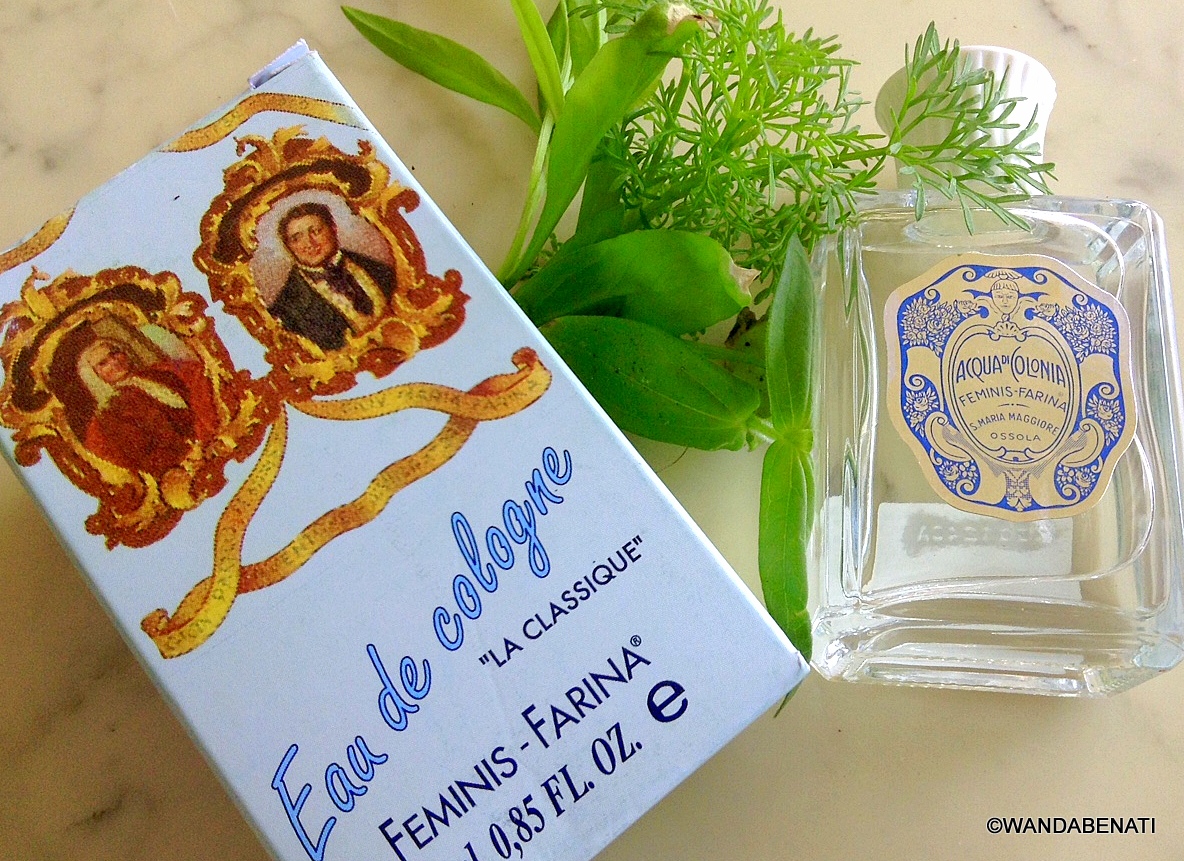
Casa del Profumo Femminis Farina
A museum at Santa Maria Maggiore to the Vigezzo emigrant whose Cologne shop gave the world eau de Cologne.
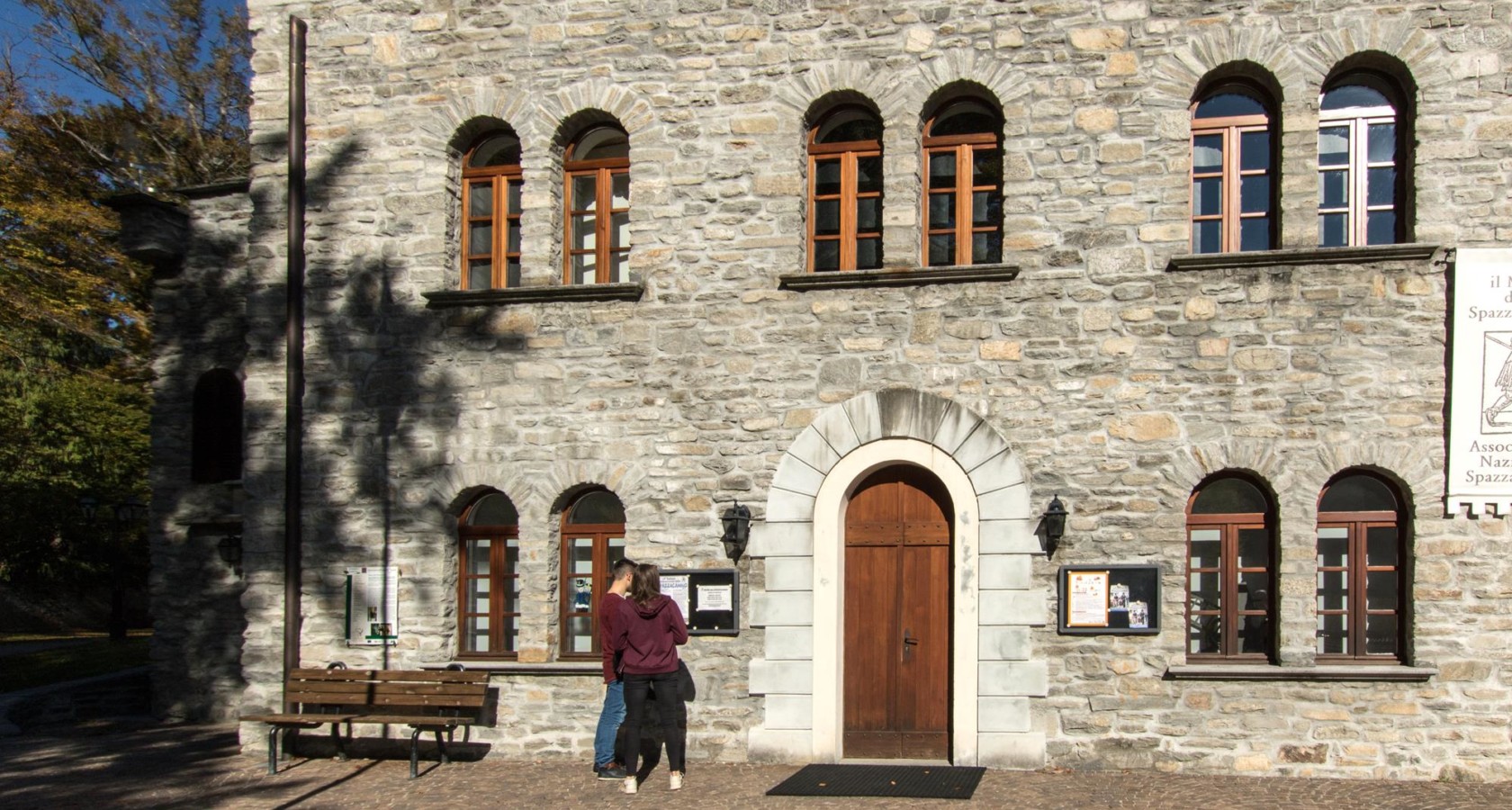
Museo dello Spazzacamino
A museum at Santa Maria Maggiore on the child chimney sweeps the Val Vigezzo sent abroad.
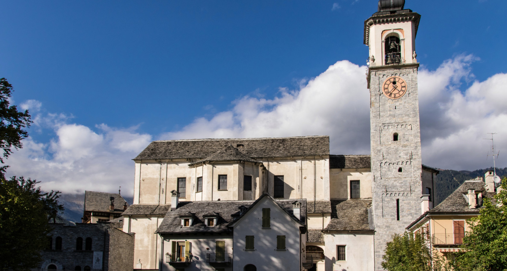
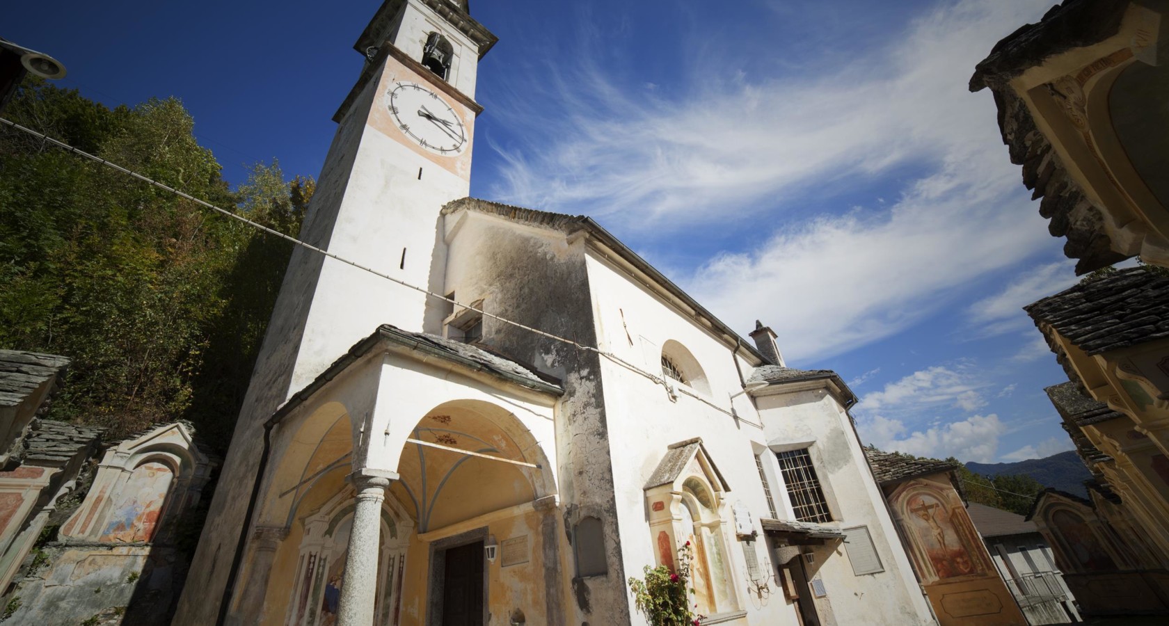
Chiesa Parrocchiale di Santa Maria Assunta
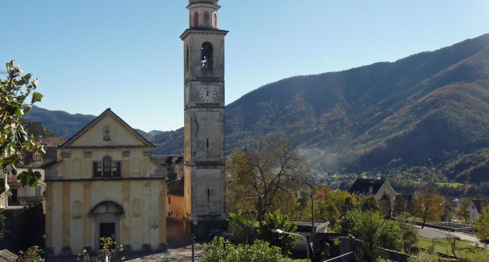
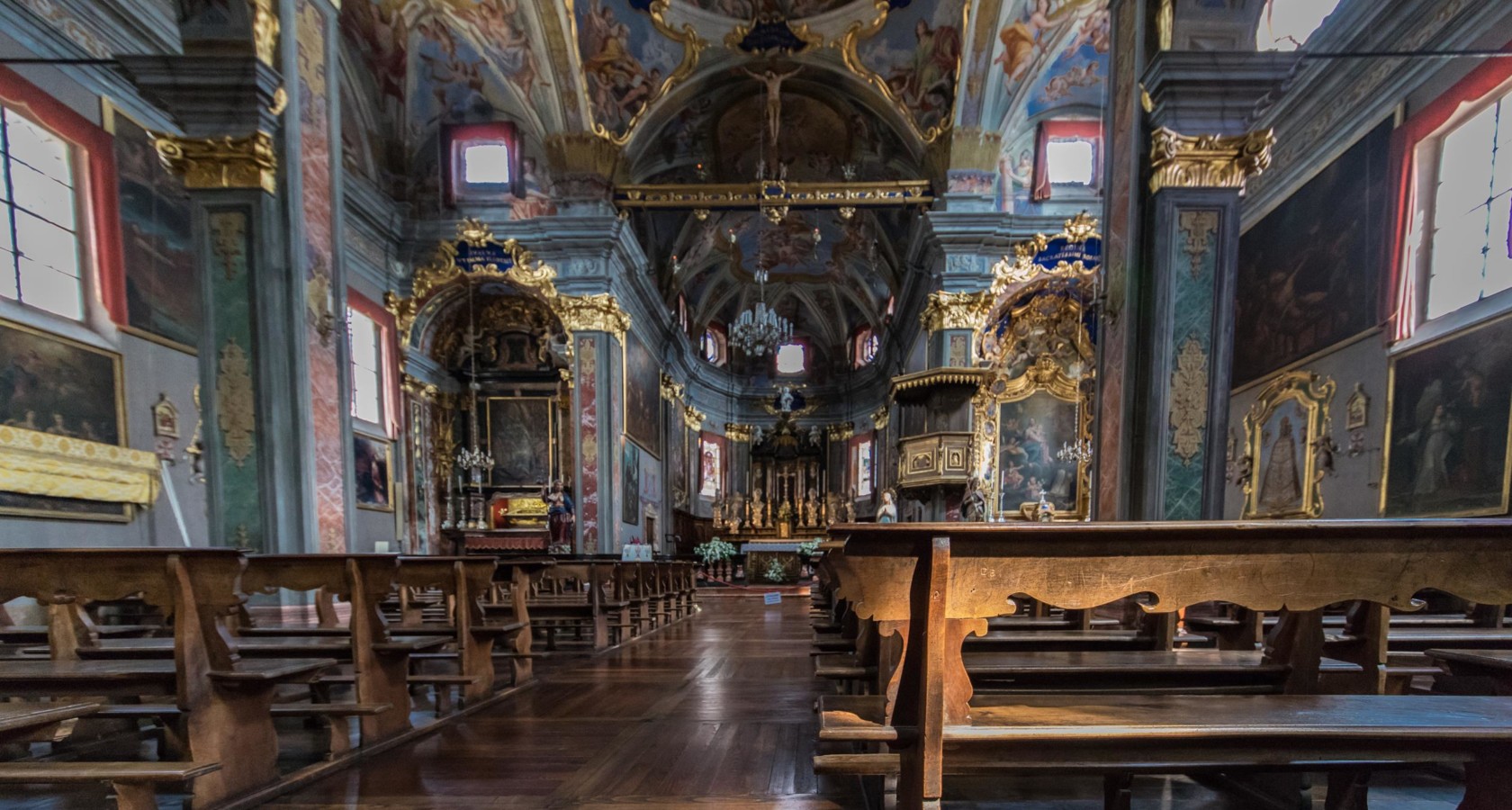
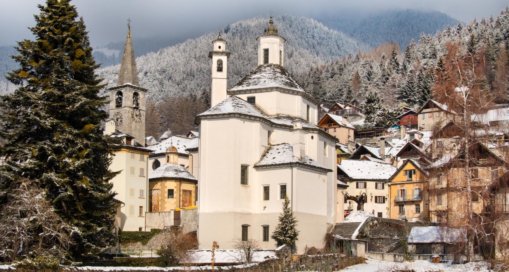
The parish church of Santa Maria Maggiore, at the centre of the Val Vigezzo.
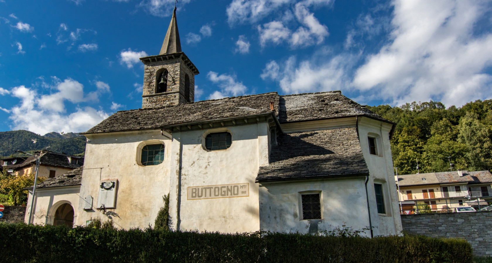
Chiesa di San Lorenzo a Buttogno
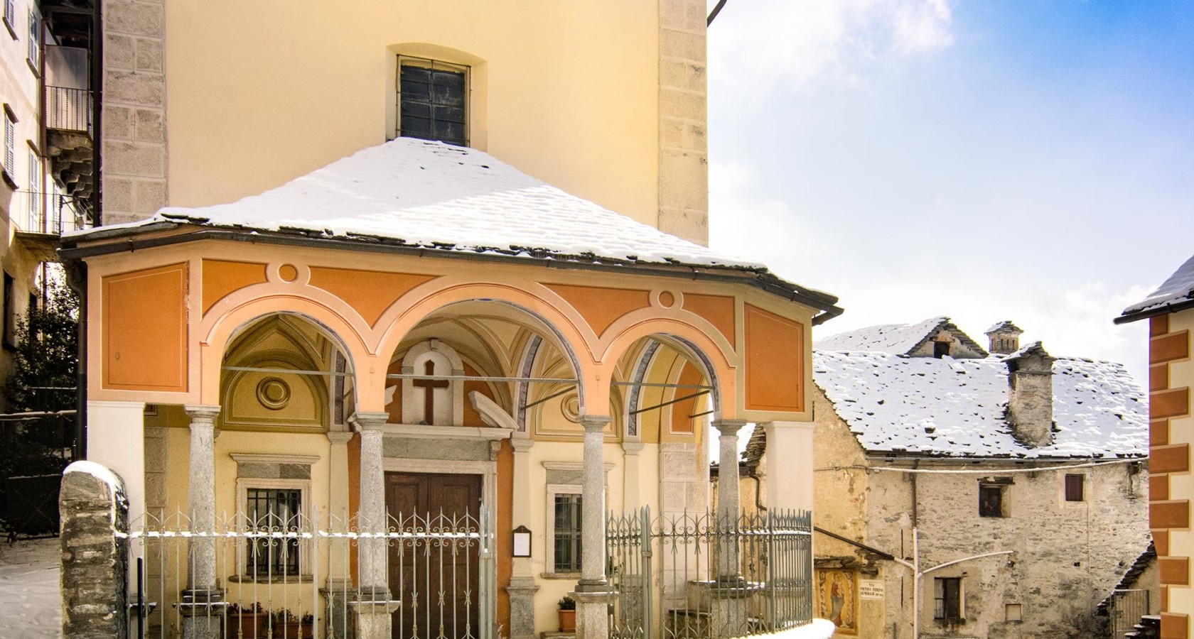
The church of Buttogno, a Vigezzo hamlet with a frescoed portico.
CICLOTURISMO: Vigezzo Bike Land
3 km away, in Druogno
A cycling itinerary in the Val Vigezzo, starting from the bike-sharing point at Druogno station and signed as route no. 2.
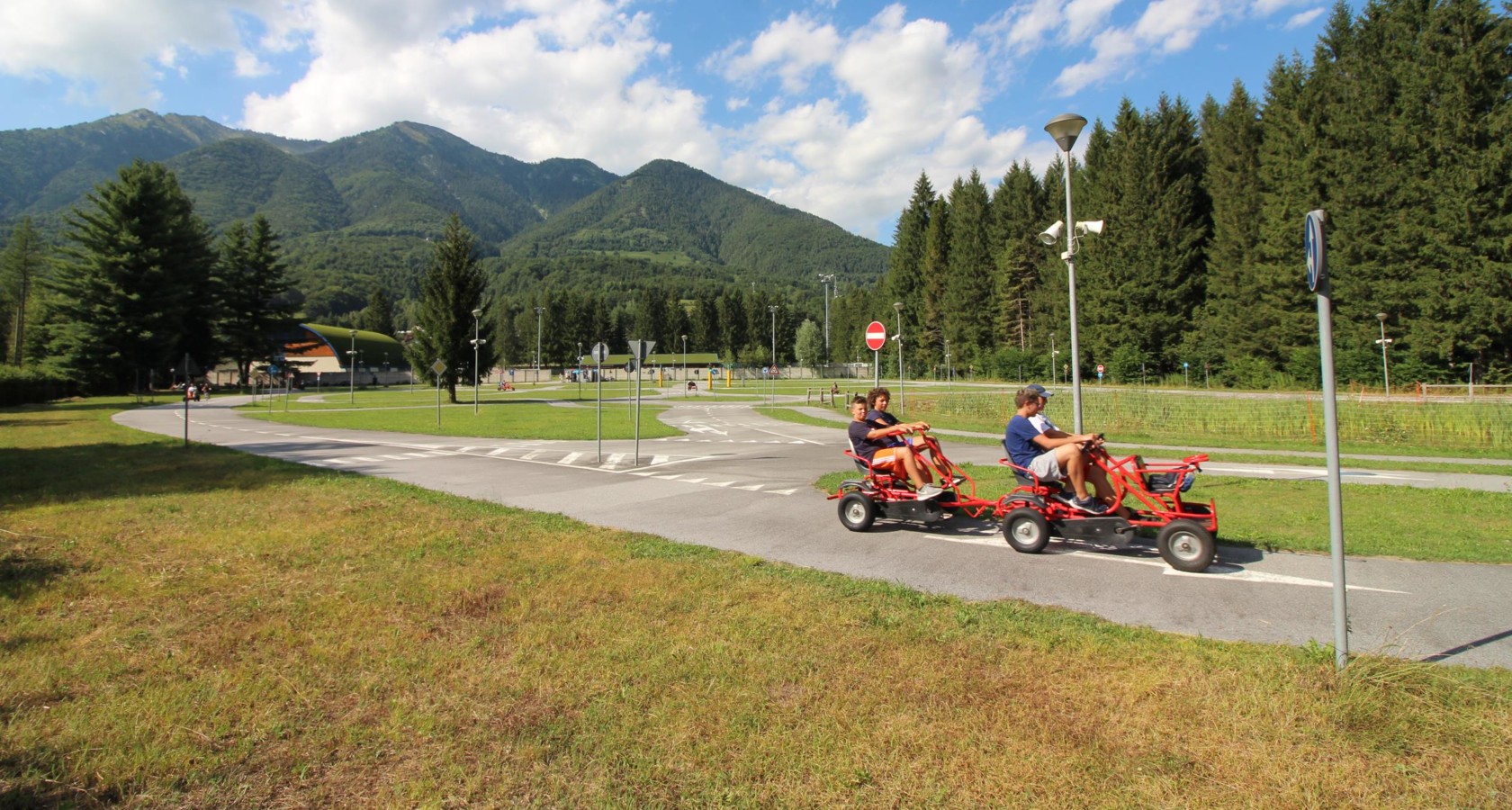
Park zur Verkehrserziehung
3.1 km away, in Druogno
A road-safety education park at Druogno, the Val Vigezzo village of scattered hamlets known for its museum of vintage postcards.
Oratorio di San Defendente
3.6 km away, in Druogno
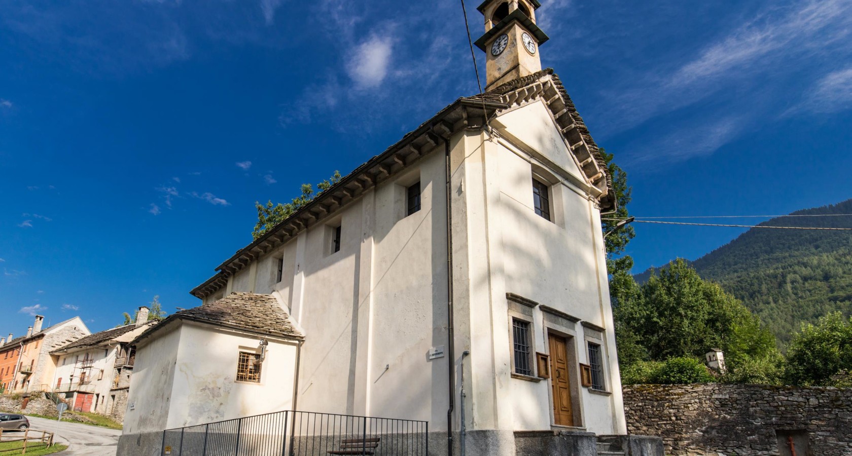
A plain oratory at Druogno in the Val Vigezzo, its interior keeping a small organ that dates from 1840.
Museo della cartolina d’epoca di Druogno
3.8 km away, in Druogno
A museum at Druogno devoted to vintage postcards, the trade the printing works of the Val Vigezzo were known for.
Chiesa di Santa Caterina di Craveggia
3.8 km away, in Craveggia
A church at Craveggia, among the stone chimneys the village is known for.
Oratorio di Sant’Antonio Abate e da Padova
4 km away, in Craveggia
An oratory at Craveggia, painted inside, in the Val Vigezzo.
Chiesa Parrocchiale dei SS. Giacomo e Cristoforo
4.3 km away, in Craveggia
Craveggia's parish church, at the centre of the Val Vigezzo village.
Oratorio della Madonna del Piaggio
4.6 km away, in Malesco
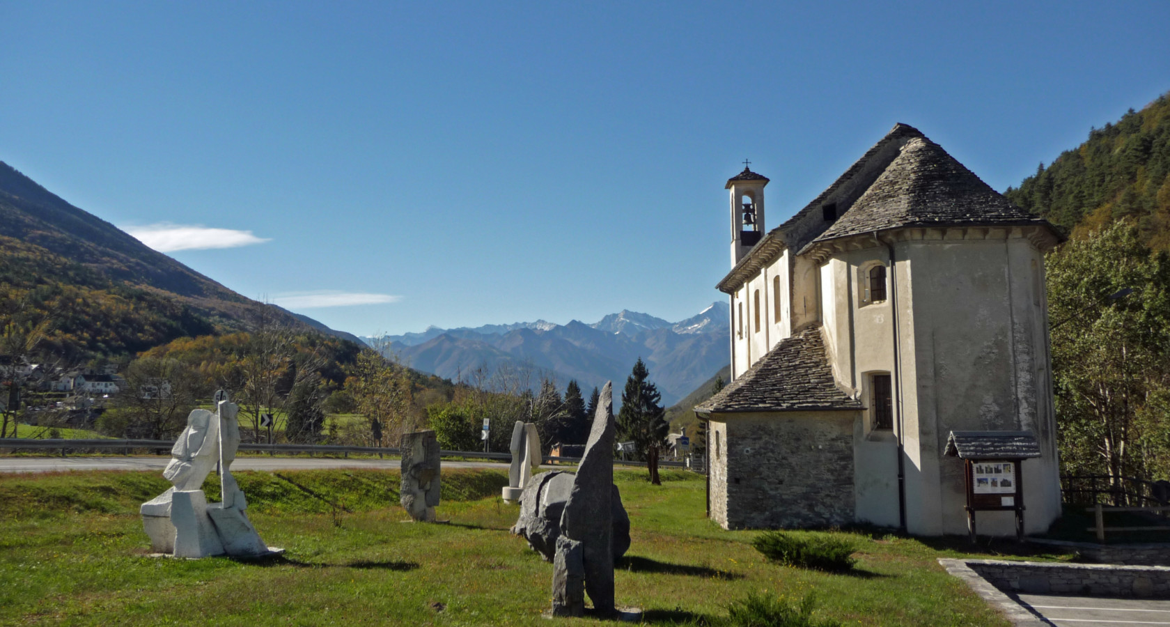
A small oratory on the slope above Malesco.
Nothing of this kind in Santa Maria Maggiore.
Routes
16 from neighbouring places
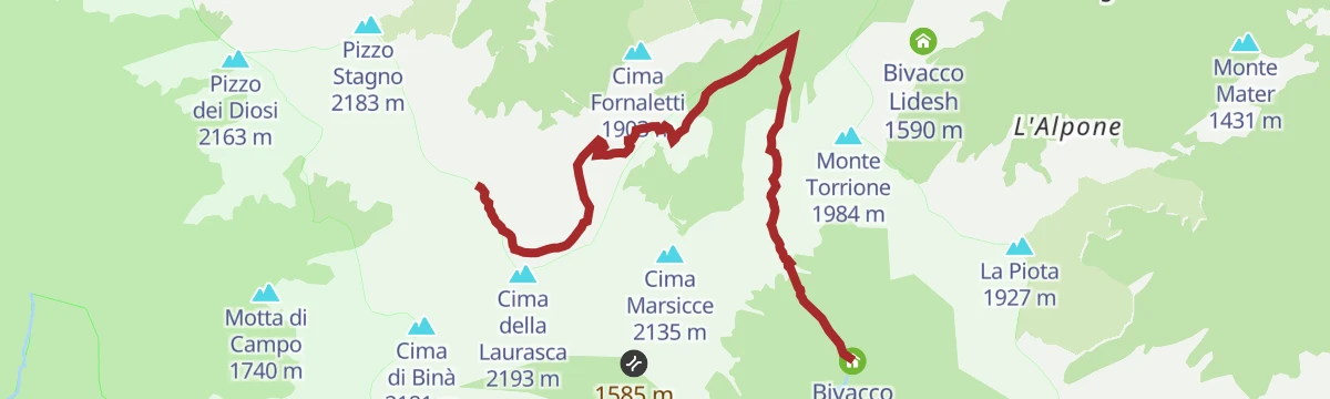
Bivacco Gastaldi
A short steep approach to the Gastaldi bivouac, starting from the main valley road below Santa Maria Maggiore.
- 3.3 km
- Distance
- 0 m
- Ascent
- 46 min
- Duration
Trekking
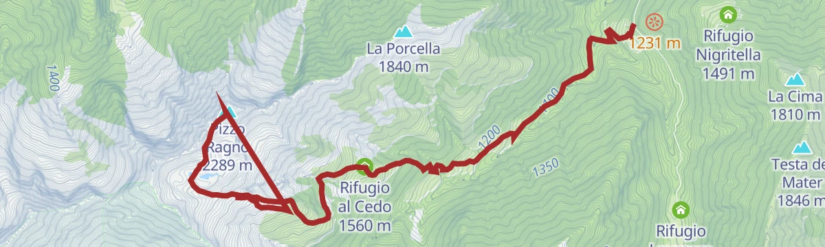
A steep climb out of the Val Vigezzo above Santa Maria Maggiore to the Pizzo Ragno and the rocks of Il Castello.
- 9.5 km
- Distance
- 1 485 m
- Ascent
- 6 h 52 min
- Duration
- 4
- Check-ins
 Pizzo Ragno 2 289 m
- Il Castello 1 900 m
 Rifugio al Cedo 1 560 m
 Laghi del Geccio 2 109 m
- Laghi del Geccio 2 109 m
PERCORSO CICLABILE: Vigezzo Bike Land
An easy cycle path through the Valle Vigezzo around Druogno, crossing the watershed between the two Melezzo streams.
- 11.9 km
- Distance
- 133 m
- Ascent
- 1 h 14 min
- Duration
- 3
- Check-ins
VIA DEL MERCATO Tappa 2: Santa Maria Maggiore
The second stage of the Via del Mercato, crossing the Val Vigezzo by way of Santa Maria Maggiore.
- 17.3 km
- Distance
- 430 m
- Ascent
- 5 h 6 min
- Duration
PERCORSO SLOW TREK
3.3 km away, in Craveggia
A short slow-walking route on the slopes above Craveggia in the Vigezzo valley.
- 2.7 km
- Distance
- 220 m
- Ascent
- 1 h 25 min
- Duration
- 4
- Check-ins
- Bivacco Emilio Greppi 1 915 m
- Laghetto di Muino inferiore 1 887 m
 Bocchetta di Muino 1 977 m
CICLOTURISMO: Montecrestese e Valle Agarina
10.2 km away, in Crevoladossola
An easy road tour out of Crevoladossola through the lower Ossola valley, climbing very little across nearly forty kilometres.
- 38.5 km
- Distance
- 1 691 m
- Ascent
- 5 h 1 min
- Duration
Mountain bike
10.2 km away, in Crevoladossola
A steep Val Formazza ride from Sottofrua up to Passo di San Giacomo, with Rifugio Maria Luisa and the Laghetto Valgeis near the top.
- 53.0 km
- Distance
- 2 250 m
- Ascent
- 6 h 7 min
- Duration
- 199
- Check-ins
Via Geoalpina: Tappa 5 Alpe Scaredi
10.7 km away, in Malesco
A stage of the Via Geoalpina from the Vigezzo valley up to the Alpe Scaredi, on the northern edge of the Val Grande.
- 12.1 km
- Distance
- 768 m
- Ascent
- 5 h 14 min
- Duration
- 18
- Check-ins
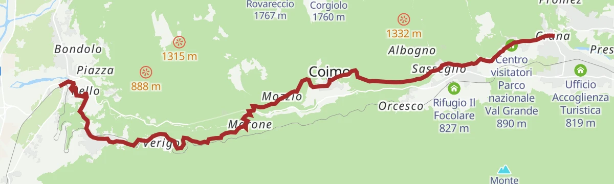
Via del Mercato: Tappa 1 Masera
9.7 km away, in Masera
A first stage climbing from Masera through Trontano and Verigo up to the visitor centre of the Val Grande national park.
- 15.7 km
- Distance
- 620 m
- Ascent
- 5 h 12 min
- Duration
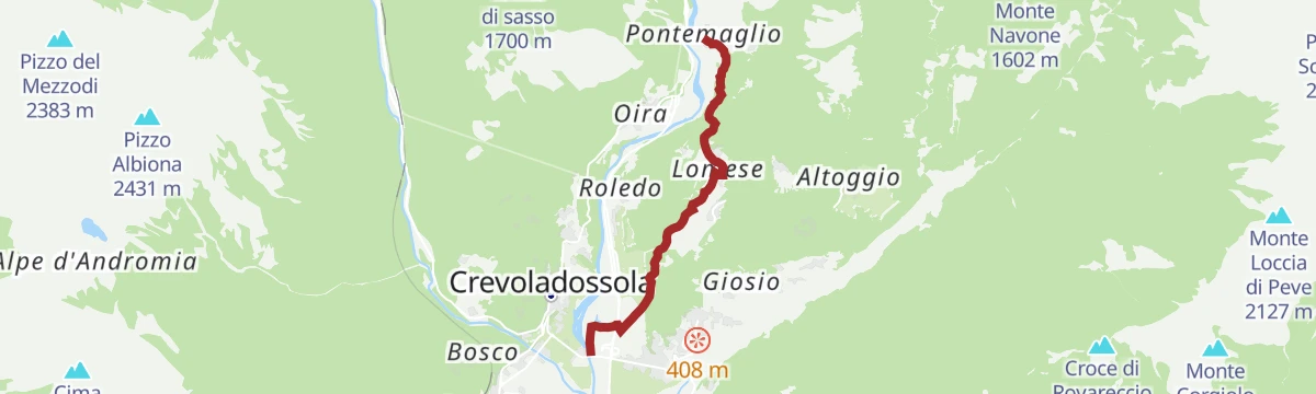
Via dello Sbrinz
10.3 km away, in Crevoladossola
A stretch of the old Sbrinz route through Crevoladossola, the mule road that carried Swiss cheese down into Italy.
- 4.9 km
- Distance
- 160 m
- Ascent
- 1 h 33 min
- Duration
PERCORSO CICLABILE: Ciclovia del Toce/In bici tra i borghi
12.3 km away, in Domodossola
A flat valley cycle path from Domodossola down the Toce to Vogogna, following the railway through the villages of the Ossola.
- 19.9 km
- Distance
- 33 m
- Ascent
- 1 h 49 min
- Duration
- 3
- Check-ins
MTB del Toce
10.3 km away, in Crevoladossola
A long climb up Val Formazza to Passo di San Giacomo at 2,313 m, passing Aalts Dorf, the Laghetto Valgeis and Rifugio Maria Luisa.
- 52.4 km
- Distance
- 2 313 m
- Ascent
- 6 h 50 min
- Duration
- 214
- Check-ins
VIA BORROMEA Tappa 1: Re
8.5 km away, in Re
The opening stage of a waymarked pilgrim route in the Piemonte pre-Alps, a steady half-day of walking out of the village.
- 9.2 km
- Distance
- 345 m
- Ascent
- 2 h 60 min
- Duration
Via Borromea
8.5 km away, in Re
A long-distance walk from the lakeshore at Cannobio, passing the Orrido di Sant'Anna and climbing steadily inland as far as Re.
- 25.2 km
- Distance
- 675 m
- Ascent
- 7 h 34 min
- Duration
- 1
- Check-ins
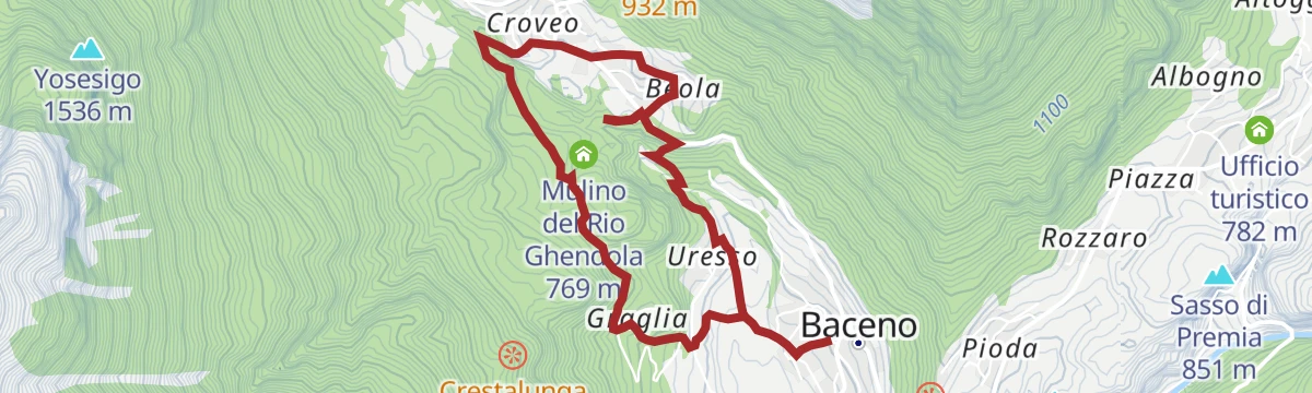
Escursioni facili
14.7 km away, in Baceno
An easy walk at Baceno in the Valle Antigorio, below the Devero pastures.
- 5.7 km
- Distance
- 238 m
- Ascent
- 1 h 55 min
- Duration
- 3
- Check-ins
MTB del Toce Tappa 1: Montecrestese
10.3 km away, in Crevoladossola
A stage ride climbing off the Ossola valley floor past the Cappella di Arzalovo to viewpoints above the Orrido di Balmasurda.
- 17.7 km
- Distance
- 780 m
- Ascent
- 2 h 18 min
- Duration
- 6
- Check-ins
Via Geoalpina: Tappa 1 Cursolo
11.9 km away, in Valle Cannobina
A long opening stage in the Valle Cannobina over Monte Barro, linking the Rifugio Monte Vecchio with the Rifugio del Pian Vadà.
- 19.5 km
- Distance
- 1 630 m
- Ascent
- 10 h 24 min
- Duration
- 10
- Check-ins
PERCORSO MTB: Arvenolo e il Muro del Diavolo
11.5 km away, in Crodo
A ring route from Crodo on low-traffic asphalt and gravel tracks, passing the Rifugio Monte Zeus and a megalithic dry-stone complex.
- 19.9 km
- Distance
- 604 m
- Ascent
- 2 h 20 min
- Duration
- 15
- Check-ins
Via Geoalpina: Tappa 4 Alpe Pian di Boit
13.2 km away, in Miazzina
A steep stage of the Via Geoalpina above Miazzina, climbing to the Alpe Pian di Boit on the edge of the Val Grande.
- 9.6 km
- Distance
- 1 642 m
- Ascent
- 9 h 18 min
- Duration
- 21
- Check-ins
PERCORSO MTB: Alpe Deccia Tour
11.6 km away, in Crodo
A ride from Crodo on quiet roads and tracks, climbing past the Cistella campsite to the La Parigia viewpoint above the valley.
- 26.1 km
- Distance
- 1 231 m
- Ascent
- 3 h 29 min
- Duration
- 7
- Check-ins
- Pozzo piezometrico 581 m
No routes of this kind in Santa Maria Maggiore yet.
The region's own picks

Featured route
Bivacco Gastaldi
A short steep approach to the Gastaldi bivouac, starting from the main valley road below Santa Maria Maggiore.
Planning a trip to Santa Maria Maggiore?
Everything else Piedmont has, in one place


Take Santa Maria Maggiore with you into the mountains
Every route on this page with 3D terrain, GPX navigation and offline maps — including the valleys with no signal.
Data sources
- Official website: distrettolaghi.it ↗
- Routes and highlights: Visit Ossola, Piemonte Outdoor, Distretto dei Laghi, Visitbaceno, Bookingpiemonte, Visit Monterosa
- Published as open data by the tourist boards named above.
- Region summary generated from the board's own material.
