
 Mountain hut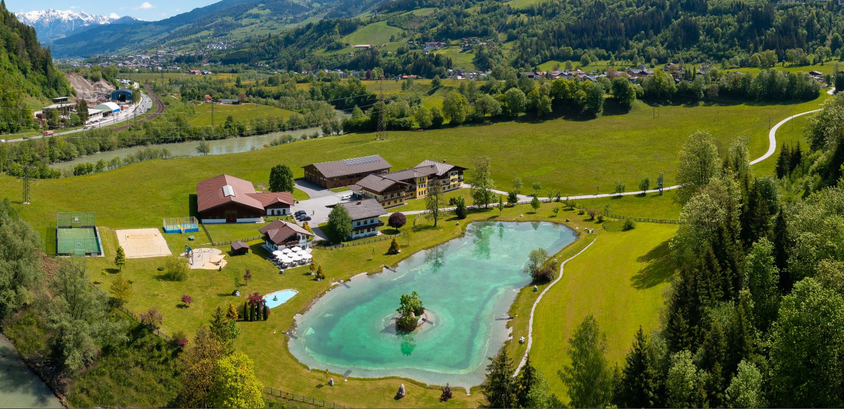
 Historic site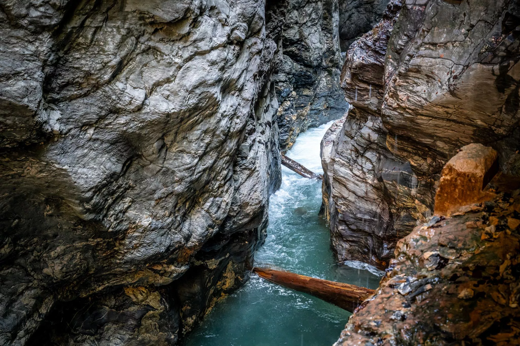
 Cable car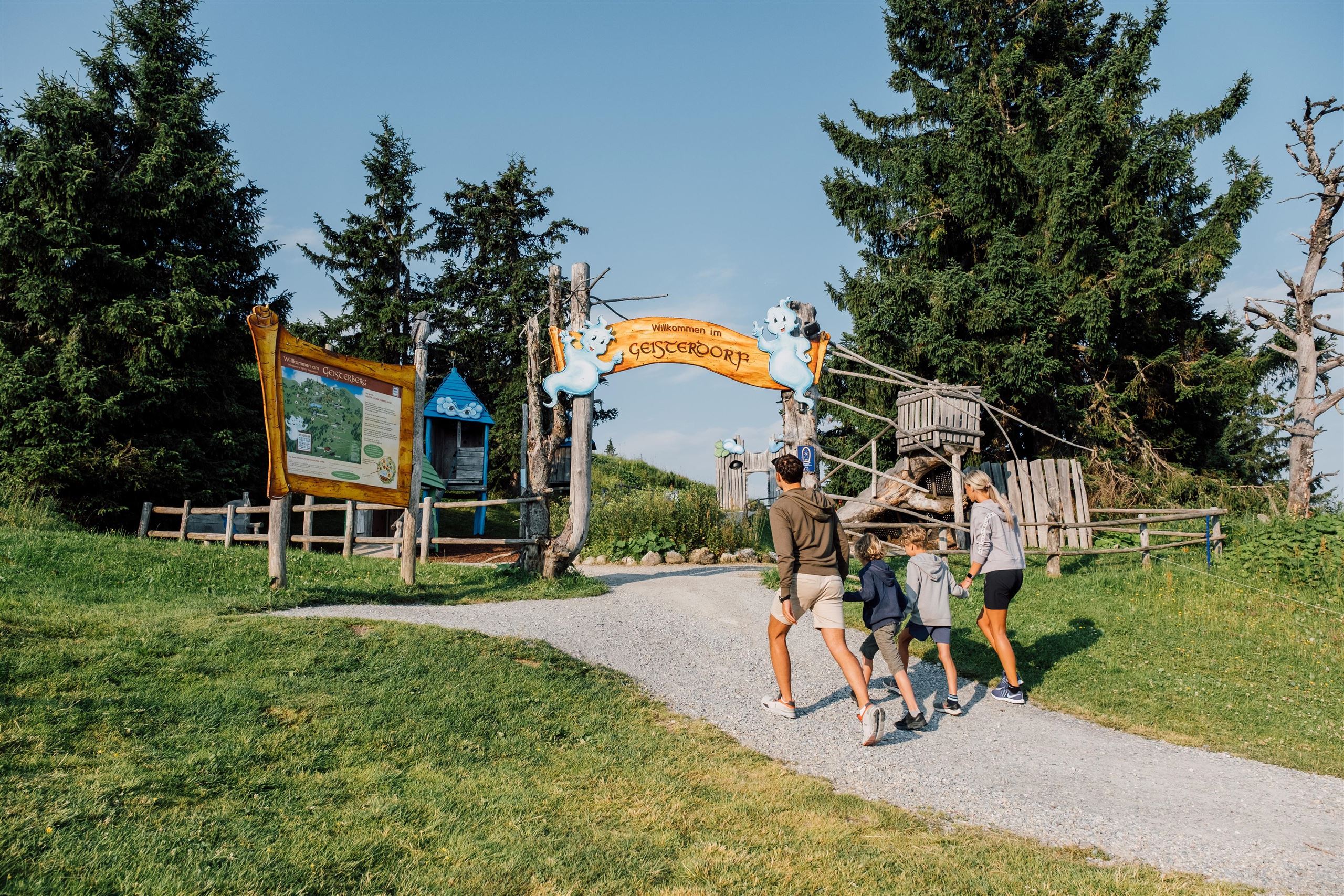





Curated by St. Johann im Pongau Tourismus
Sankt Veit im Pongau
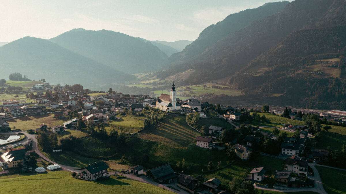
Set on a sun plateau above the Salzach with the Hochkönig blocking the cold north winds, the first place in Salzburg recognised as a climatic health resort.
- 1Highlights
- 18Routes
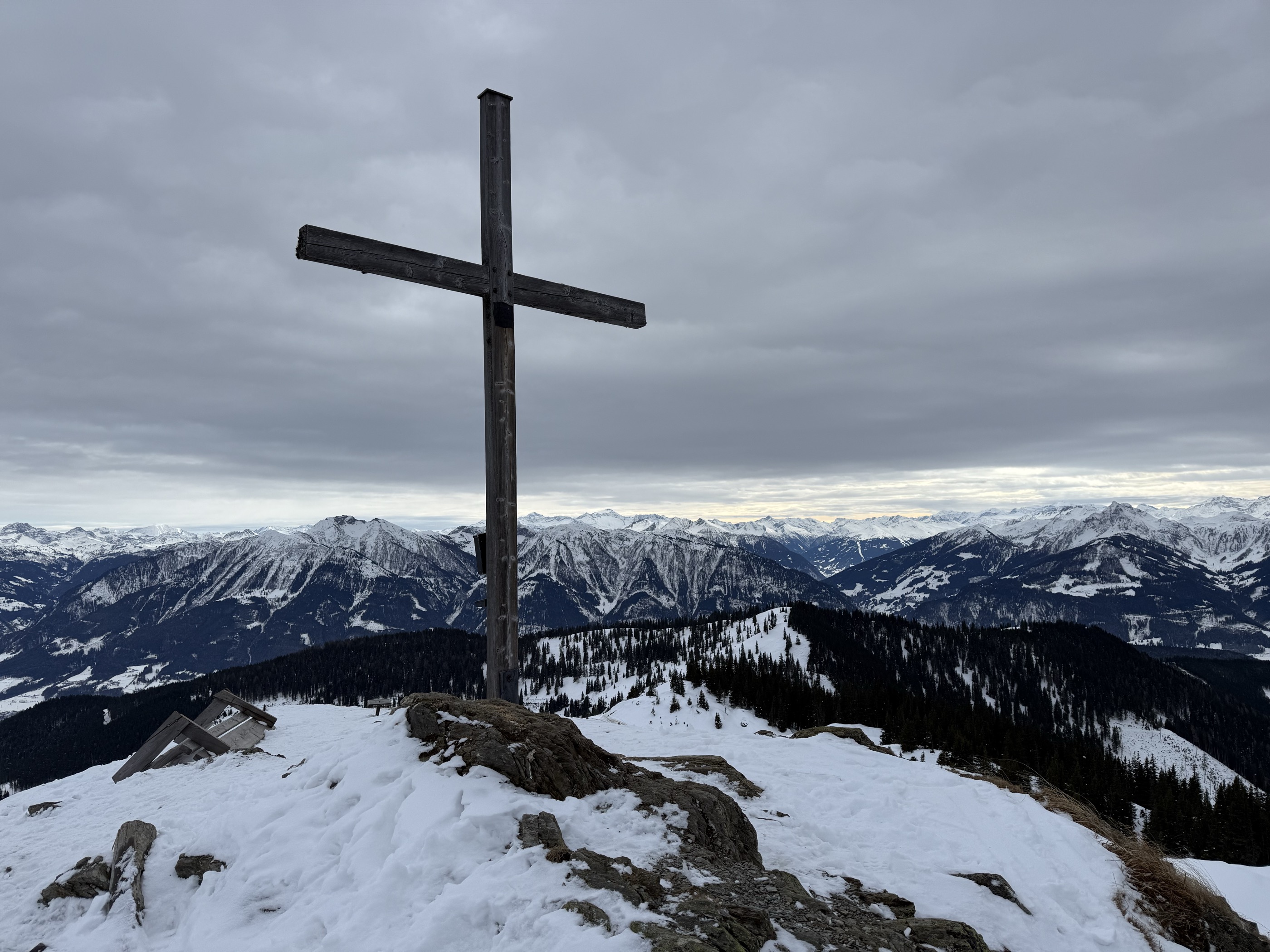
- Featured summit · Schneebergkreuz
Highlights
14 from neighbouring places
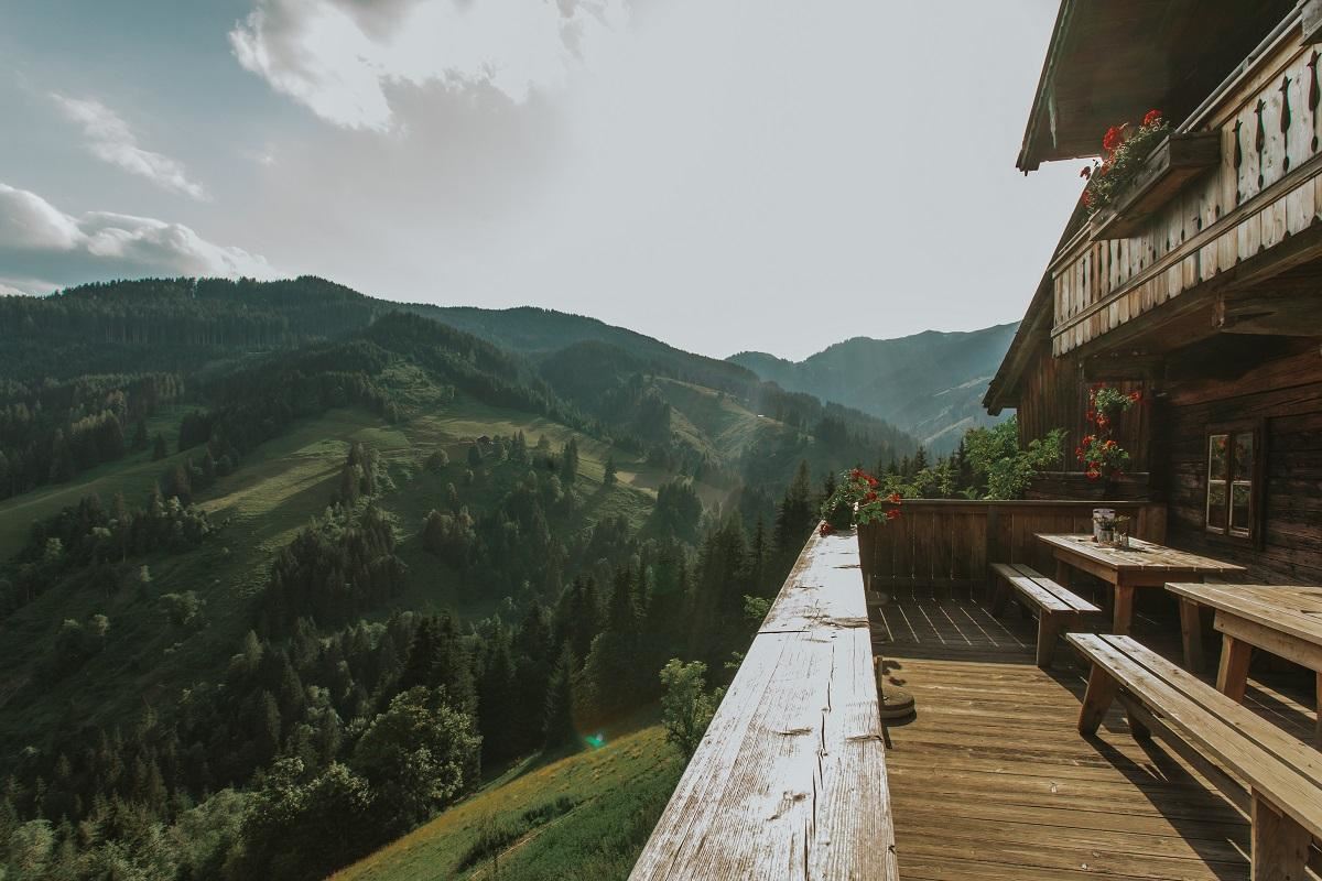
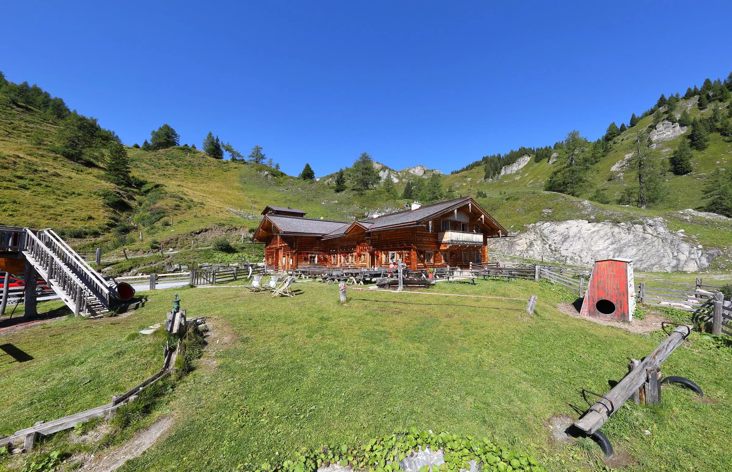
Althausalm 1.200m
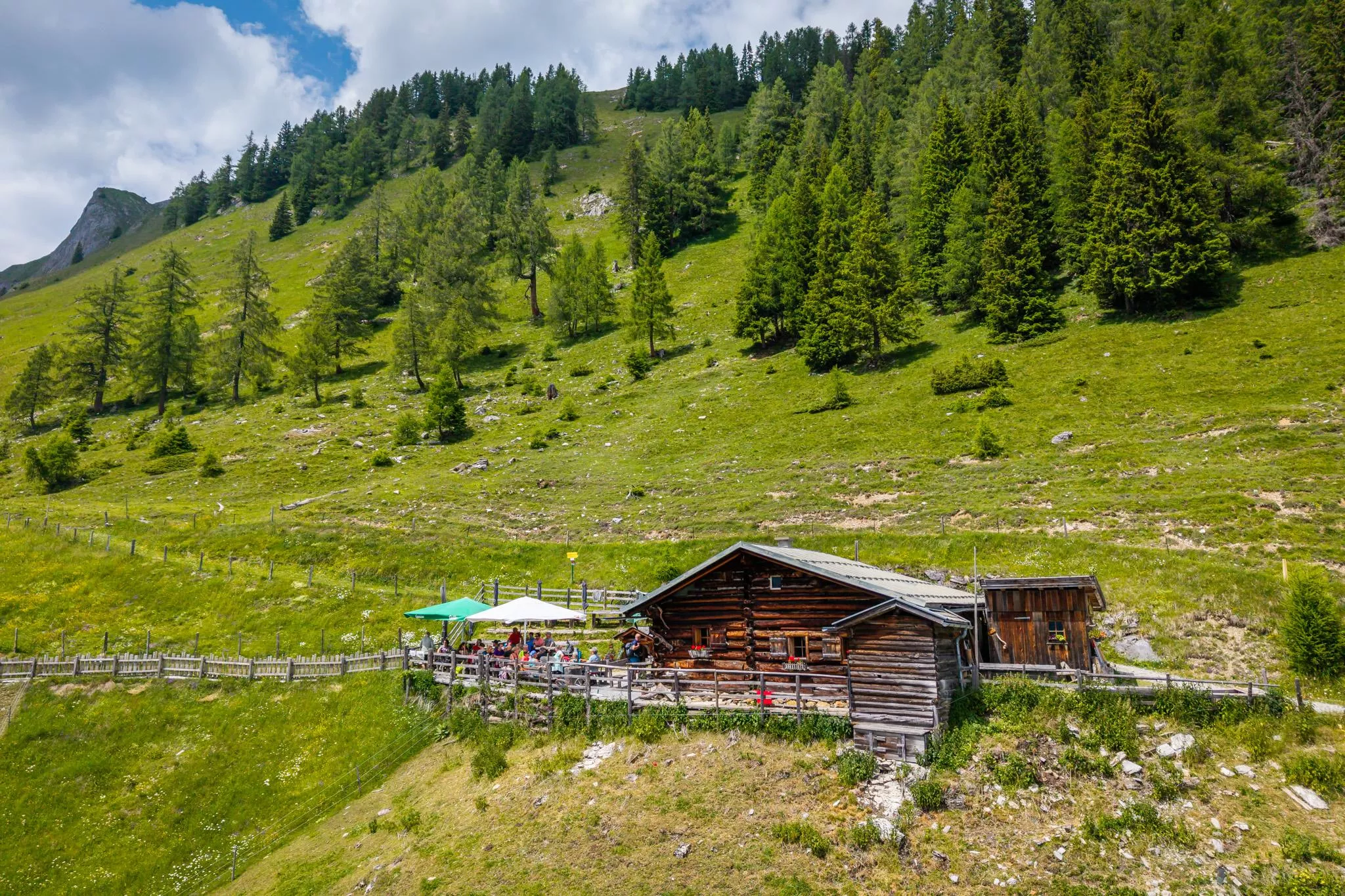
A pasture hut at 1,200 m in the Mühlbach corner of the Hochkönig region, serving regional dishes through the summer season.
Badesee Schlosshof
4.1 km away, in Sankt Johann im Pongau
A bathing lake at Schlosshof near St. Johann im Pongau, with swimming in summer and a beach volleyball court on the shore.
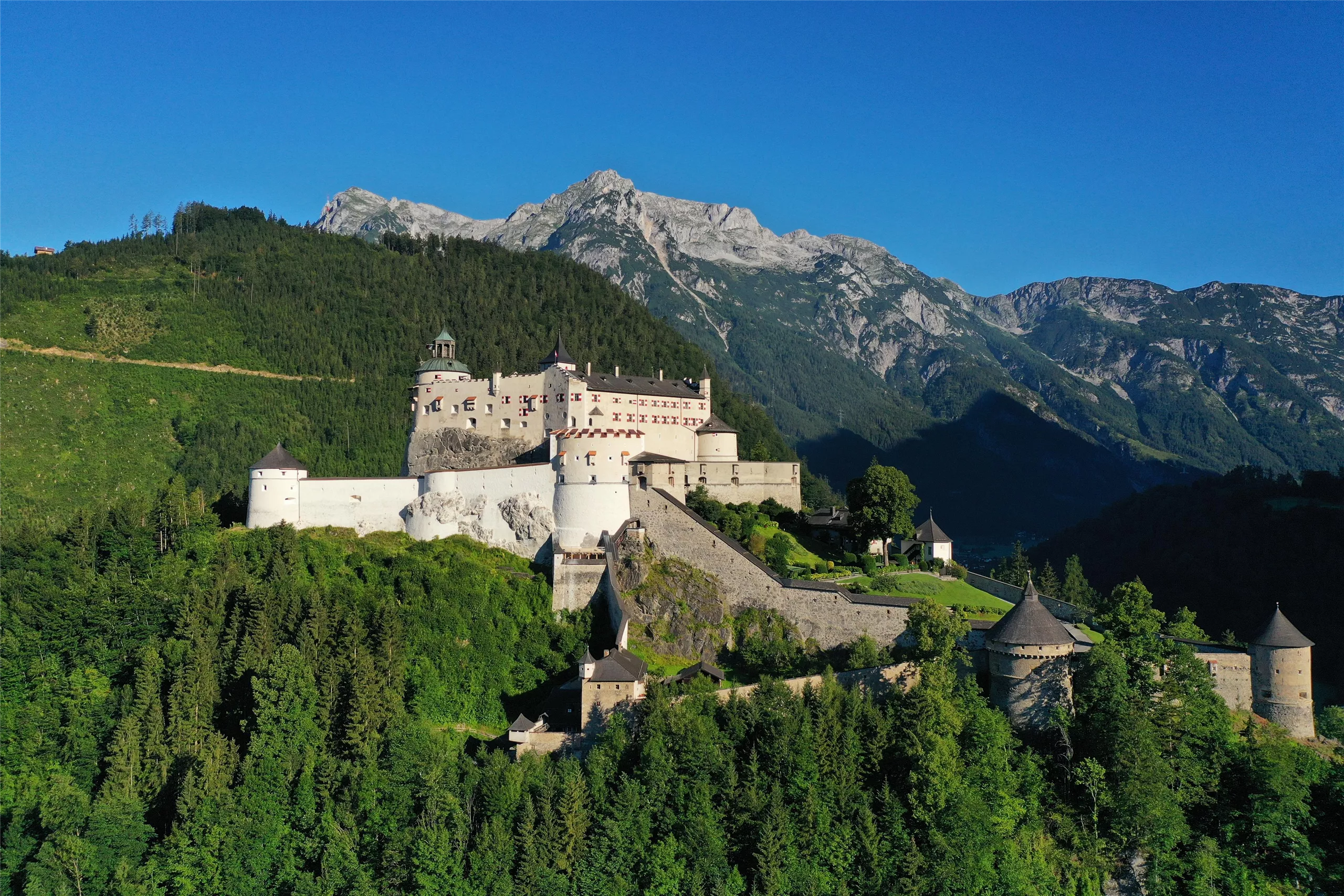
Burg Hohenwerfen
4.2 km away, in Sankt Johann im Pongau
A fortress founded in the 11th century on a rock spur above Werfen, guarding the Salzach valley; today it houses a falconry centre and museum.
Liechtensteinklamm
4.2 km away, in Sankt Johann im Pongau
A deep, narrow gorge near St. Johann im Pongau, opened with walkways in 1875 with support from the Prince of Liechtenstein and ending at a waterfall.
Snow Space Salzburg
4.7 km away, in Sankt Johann im Pongau
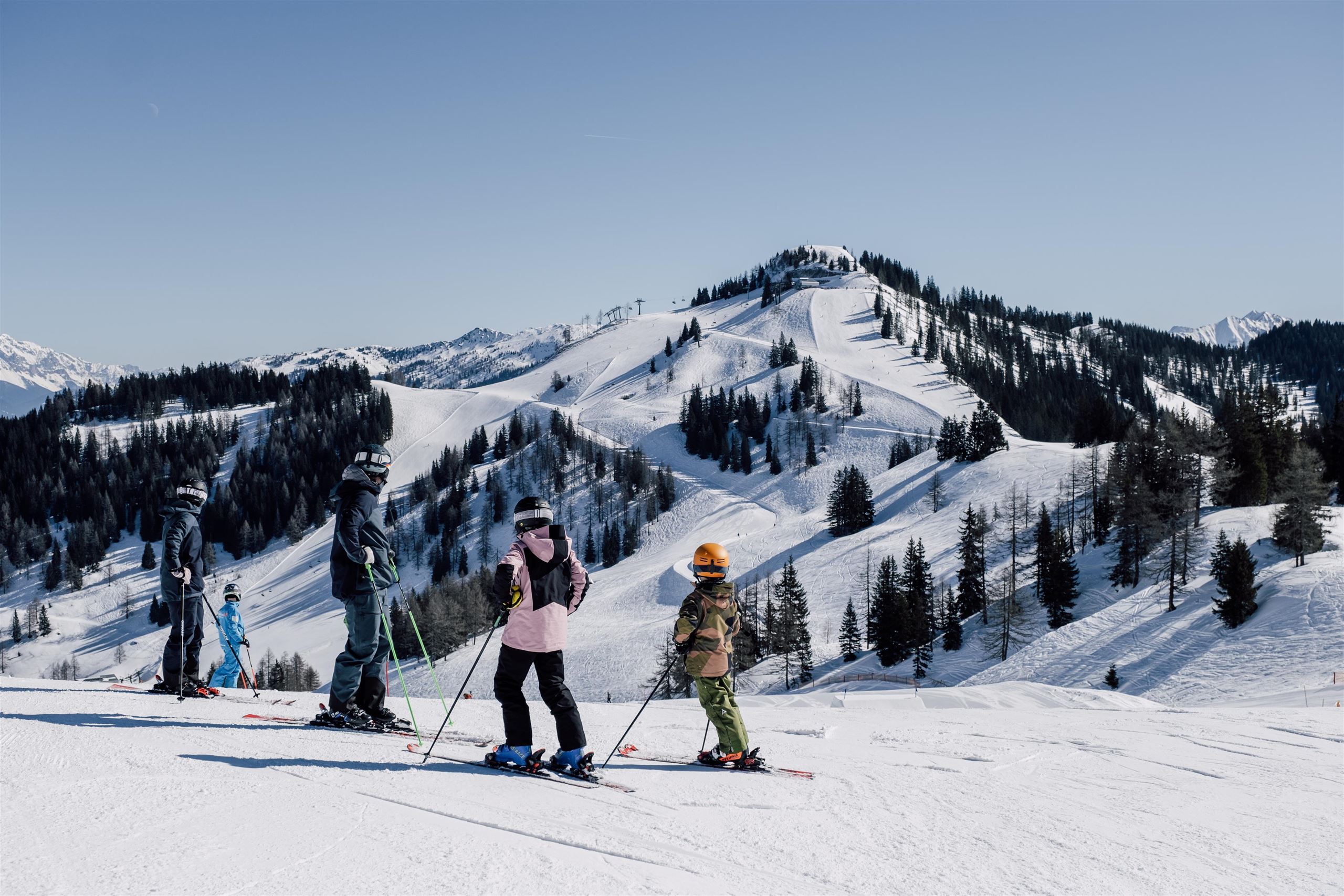
A lift and ski network above St. Johann im Pongau, linking the town's slopes with Wagrain and Flachau in the Salzburg mountains.
Geisterberg
4.7 km away, in Sankt Johann im Pongau
A ghost-themed family adventure area on the Gernkogel above St. Johann-Alpendorf, reached by gondola and dotted with play stations.
Deck7 by Haven | Hochzeitslocation
4.8 km away, in Sankt Johann im Pongau
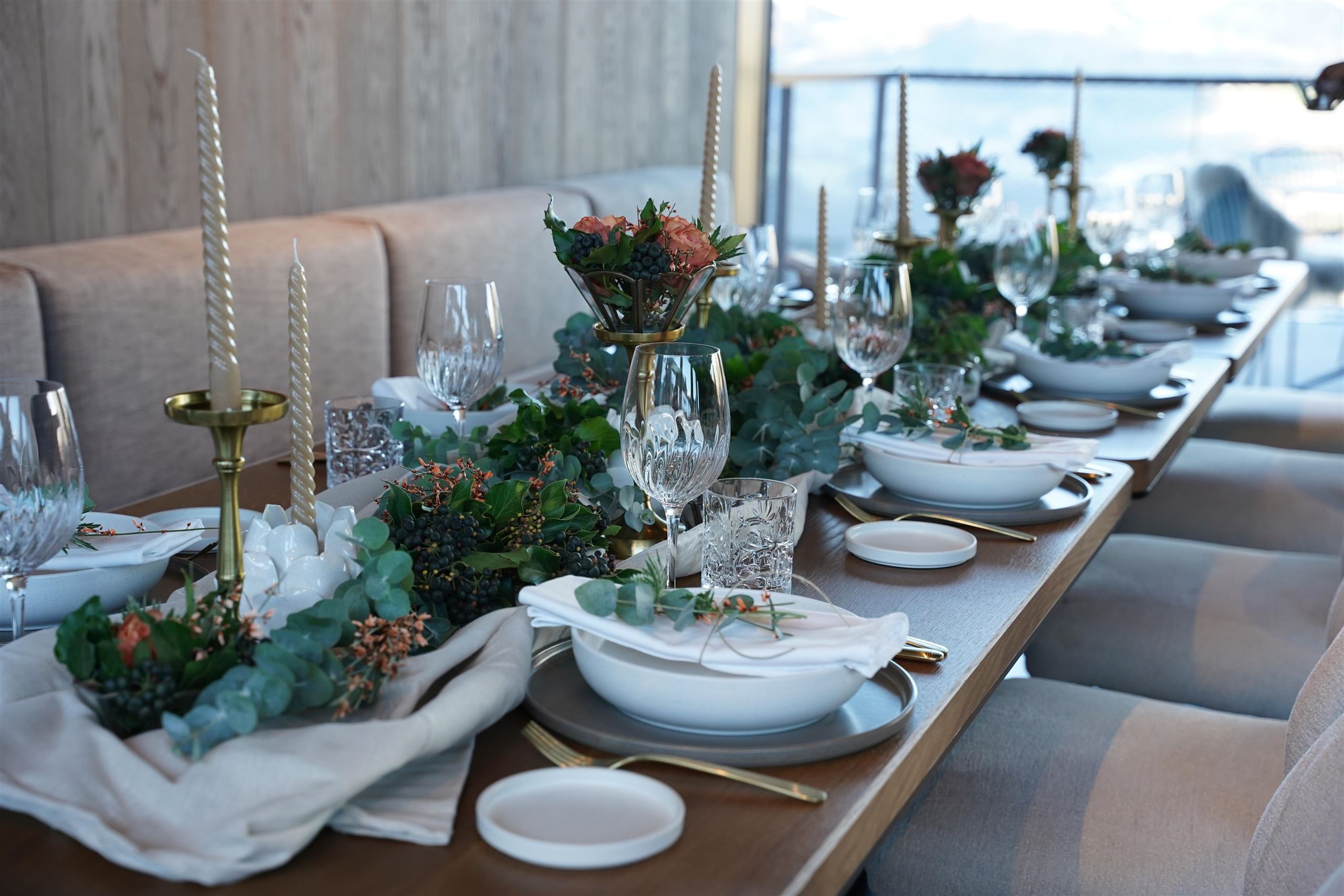
A restaurant and wedding venue in the mountain resort area of St. Johann im Pongau, hosting celebrations above the town.
Viehhausalm, 1.640 m
4.9 km away, in Großarl
A pasture hut at 1,640 m above Großarl serving farm snacks; the name refers to the cattle house on its grazing land.
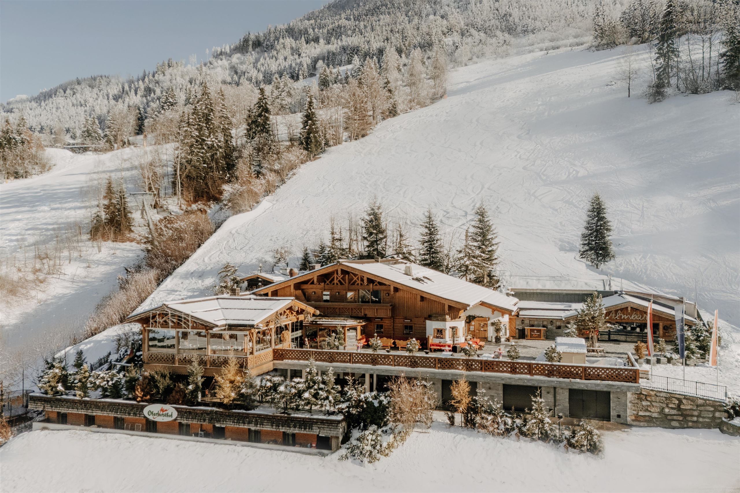
Oberforsthof Alm | Hochzeitslocation
4.9 km away, in Sankt Johann im Pongau
An alm restaurant in the Alpendorf ski area of St. Johann im Pongau, serving regional dishes and hosting mountain weddings.
Gut Berg Stadl
5 km away, in Sankt Johann im Pongau
A rustic hut and bar at Gut Berg above St. Johann im Pongau, used for ski stops, après-ski and private celebrations.
Niggeltalalm (Igltalalm), 1.507 m
5 km away, in Großarl
An alm hut at 1,507 m in the Niggeltal above Großarl, also known as the Igltalalm, serving snacks in the grazing season.
Mooslehenalm, 1.449 m
5.2 km away, in Großarl
A pasture hut at 1,449 m above Großarl with snacks and simple overnight places, reached on the valley's alm paths.
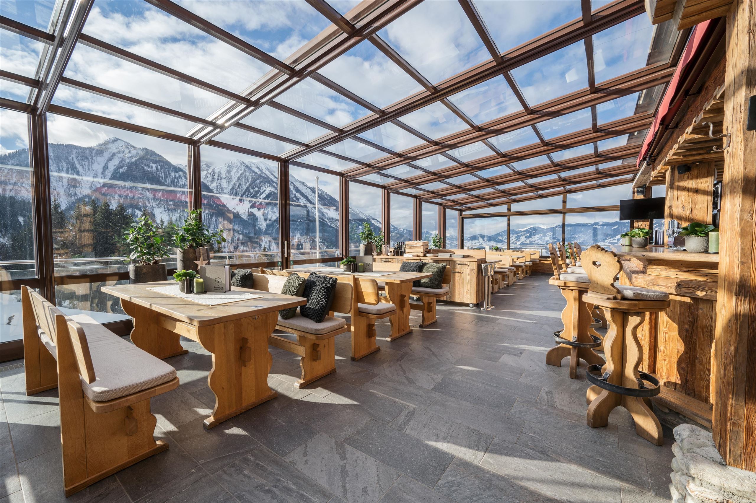
SternAlm
5.4 km away, in Sankt Johann im Pongau
A ski-area hut above St. Johann im Pongau serving international dishes, with an apres-ski bar and a venue for Salzburg mountain weddings.
Aualm, 1.795 m
5.7 km away, in Großarl
A high pasture hut at 1,795 m above Großarl, a hut stop for walkers and mountain bikers in the valley of alms.
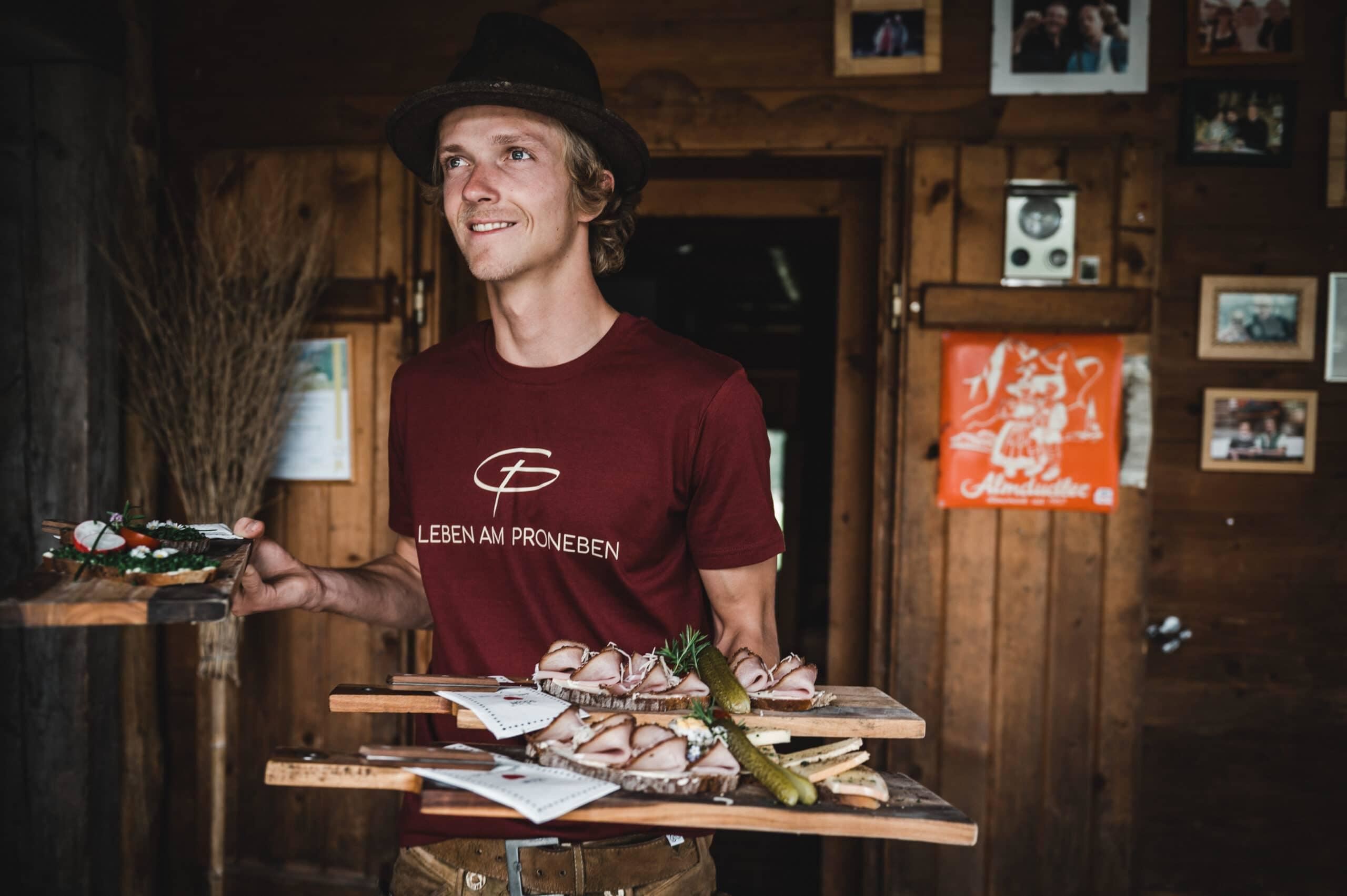
Pronebenalm 1.280 m
5.7 km away, in Mühlbach am Hochkönig
A pasture hut at 1,280 m above Mühlbach am Hochkönig, with home cooking for walkers on the paths of the Mühlbach side.
Nothing of this kind in Sankt Veit im Pongau.
Routes
Großarl: Heukareck
A climb out of Großarl past the Mooslehenalm and the Igltalalm to the Tennköpfl and the grassy summit beyond it.
- 12.6 km
- Distance
- 871 m
- Ascent
- 5 h 49 min
- Duration
- 19
- Check-ins
Gipfelstürmer Gamskögerl
Long day over the Schneeberg and Kollmannsegg to the Gamskögerl, 20 km with the Huberalm and Moaralm on the route.
- 20.3 km
- Distance
- 935 m
- Ascent
- 8 h 19 min
- Duration
- 48
- Check-ins
Schloss Goldegg
A ride from the Salzach valley up to Goldegg am See, climbing to the lake and castle terrace at just over 800 m.
- 14.6 km
- Distance
- 350 m
- Ascent
- 1 h 33 min
- Duration
- 1
- Check-ins
Am Fuße des Hochkönigs
A long day round the foot of the Hochkönig from Wagrain, by the Übergossene Alm and the Mittereggalm.
- 74.8 km
- Distance
- 1 720 m
- Ascent
- 8 h 16 min
- Duration
- 14
- Check-ins
Heukareck (ab Großarl)
A steep and direct ascent from the Großarl valley by way of the Igltalalm, gaining most of its height in one continuous pull.
- 5.8 km
- Distance
- 831 m
- Ascent
- 3 h 24 min
- Duration
- 19
- Check-ins
Großarl: Höllwand
Demanding round on the rock wall standing over the Großarl valley floor, taking in the Heukareck, Sandkogel and Tennköpfl with the Mooslehenalm on the way.
- 15.3 km
- Distance
- 1 219 m
- Ascent
- 7 h 52 min
- Duration
- 24
- Check-ins
Filzmoos - Schloss Goldegg
A long, gently graded run from Filzmoos down the Enns to Schloss Goldegg, by way of Schwarzach.
- 50.6 km
- Distance
- 412 m
- Ascent
- 4 h 57 min
- Duration
- 12
- Check-ins
Genusswanderung, Karbachalm - Pronebenalm - Pauss - Mühlbach
Descending walk from the Karbachalm by the Pronebenalm and the Althaussattel back to Mühlbach, mostly on easy tracks over 12 km.
- 11.8 km
- Distance
- 234 m
- Ascent
- 4 h 3 min
- Duration
- 18
- Check-ins
Großarl: Schuhflickersee - Paarseen
Demanding walk to three mountain lakes — the Schuhflickersee and the two Paarseen — over the Urkübel and Hochegg, with the Aualm on the return.
- 12.2 km
- Distance
- 939 m
- Ascent
- 6 h 6 min
- Duration
- 12
- Check-ins
Böndlsee
A long tour from Sankt Johann down to Schwarzach and on towards Loifarn, passing the bathing lake at Plankenau on the way.
- 39.8 km
- Distance
- 614 m
- Ascent
- 4 h 6 min
- Duration
- 6
- Check-ins
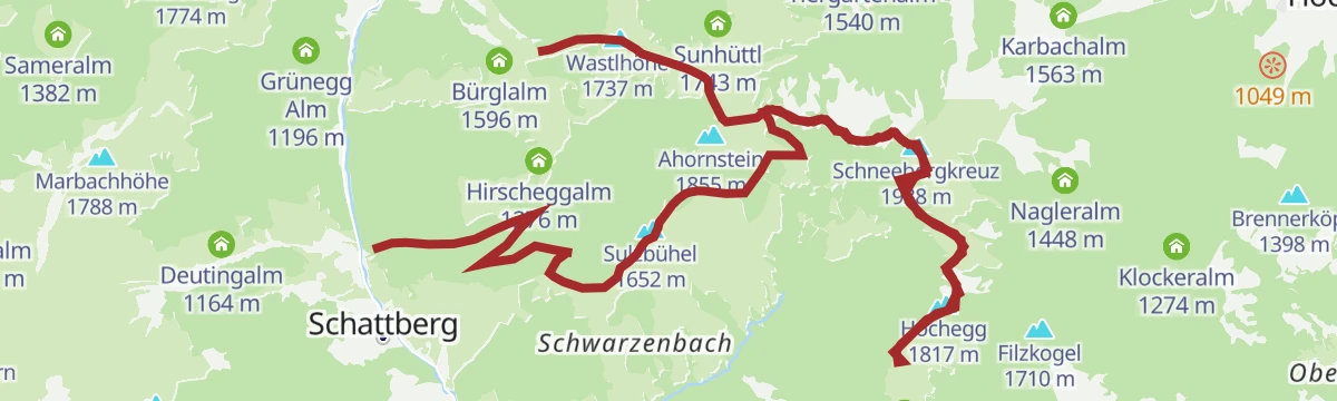
DEN KRÄUTERN AUF DER SPUR zur Pronebenalm
A herb-themed walk out of Sankt Veit im Pongau by way of the Althausalm and the Althaussattel to the dairy hut on the Proneben.
- 12.8 km
- Distance
- 351 m
- Ascent
- 4 h 24 min
- Duration
- 4
- Check-ins
Heukareck (über St. Veit/Niederuntersberg)
Steep ascent from St. Veit gaining 1,327 m in under 8 km to the Heukareck and Tennköpfl, by way of the Brauneggalm and the two Tennalmen.
- 7.4 km
- Distance
- 1 327 m
- Ascent
- 4 h 60 min
- Duration
- 7
- Check-ins
Tauernradweg - Teilstück Schwarzach bis Werfen
A stage down the Salzach from Schwarzach im Pongau to Werfen, passing the bathing lake at Plankenau and Pfarrwerfen.
- 24.5 km
- Distance
- 42 m
- Ascent
- 2 h 14 min
- Duration
- 6
- Check-ins
Ach du grüne Neune - Gänseblümchenrunde
A themed circuit from Sankt Veit im Pongau up to the Pronebenalm and over the Althaussattel, coming back down past the Mesnerhaus.
- 12.0 km
- Distance
- 555 m
- Ascent
- 4 h 12 min
- Duration
- 3
- Check-ins
MTB Tour - Große St. Veit-Runde (Tour 2)
A demanding forest-road loop from Mühlbach am Hochkönig over the Althaussattel, taking in the Pronebenalm, Peter's Ferienalm and the Althausalm.
- 30.2 km
- Distance
- 1 216 m
- Ascent
- 3 h 50 min
- Duration
- 5
- Check-ins
e-Bike Tour - Große St. Veit Runde (Tour 2)
An e-bike circuit from Mühlbach am Hochkönig crossing the Althaussattel, with the Pronebenalm, Peter's Ferienalm and Althausalm along the way.
- 29.9 km
- Distance
- 1 216 m
- Ascent
- 3 h 48 min
- Duration
- 5
- Check-ins
e-Bike Tour - Proneben Runde (Tour 5)
An e-bike climb to the Pronebenalm above St. Veit, crossing the Althaussattel on the way back.
- 21.9 km
- Distance
- 830 m
- Ascent
- 2 h 43 min
- Duration
- 4
- Check-ins
Schwarzach
A short valley run from Sankt Johann to Schwarzach, passing the Plankenau bathing lake on the way.
- 15.8 km
- Distance
- 171 m
- Ascent
- 1 h 33 min
- Duration
- 2
- Check-ins
No routes of this kind in Sankt Veit im Pongau yet.
The region's own picks
Featured route
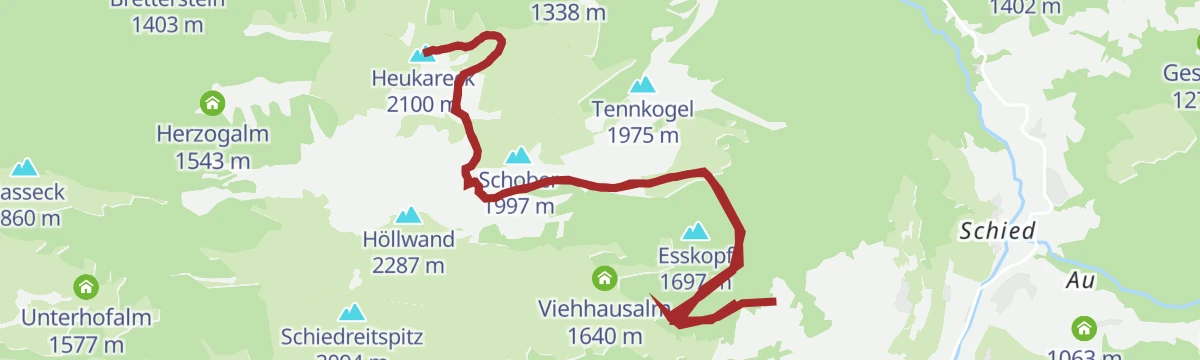
Großarl: Heukareck
A climb out of Großarl past the Mooslehenalm and the Igltalalm to the Tennköpfl and the grassy summit beyond it.
Planning a trip to Sankt Veit im Pongau?
Everything else Salzburg (state) has, in one place


Take Sankt Veit im Pongau with you into the mountains
Every route on this page with 3D terrain, GPX navigation and offline maps — including the valleys with no signal.
Data sources
- Official website: panorama3d.at ↗
- Routes and highlights: St. Johann im Pongau Tourismus, Hochkönig Tourismus, Großarltal Tourismus, Wagrain-Kleinarl Tourismus, Filzmoos Tourismus
- Published as open data by the tourist boards named above.
- Region summary generated from the board's own material.
