
 Historic site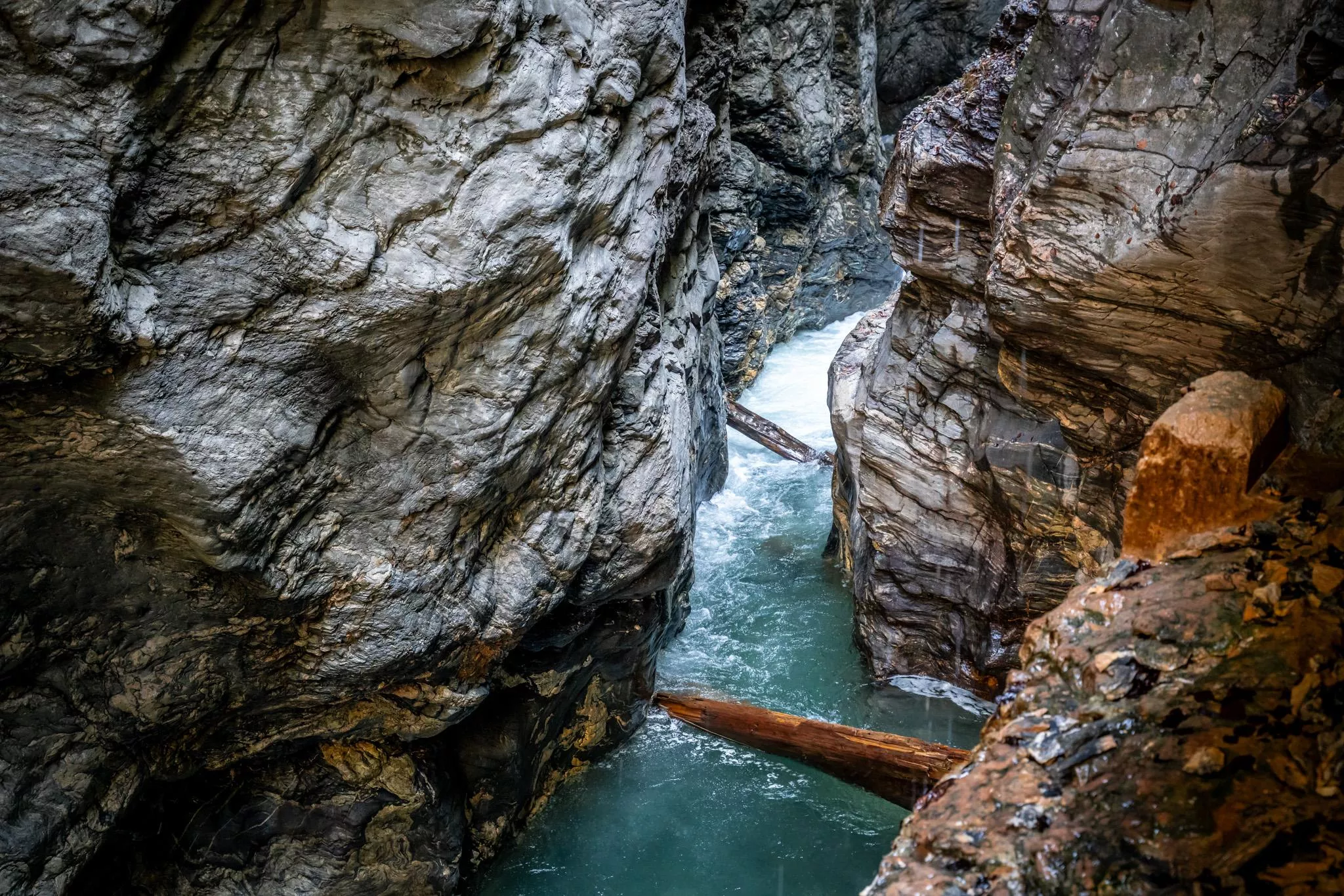
 Cable car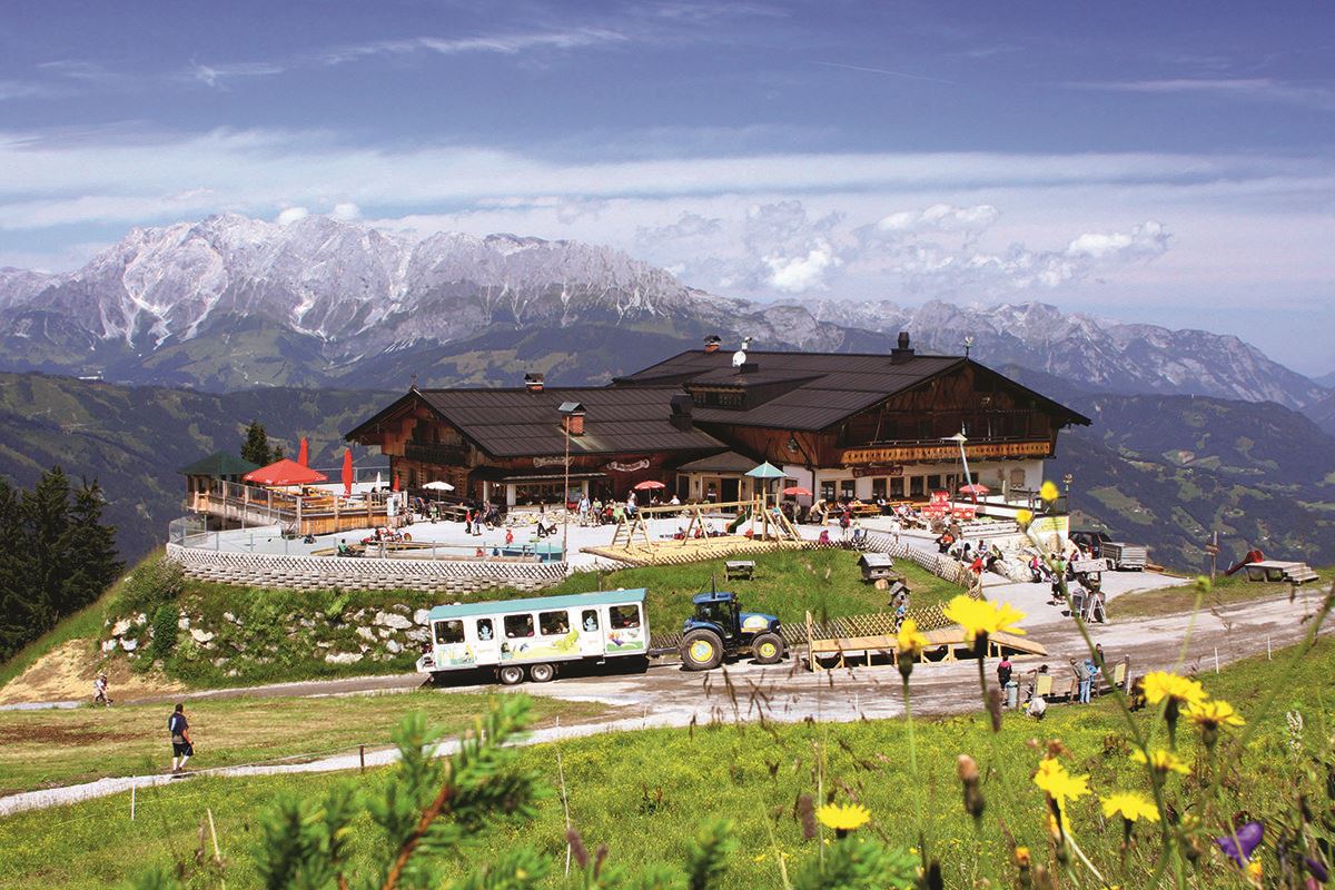




















Curated by St. Johann im Pongau Tourismus
Sankt Johann im Pongau
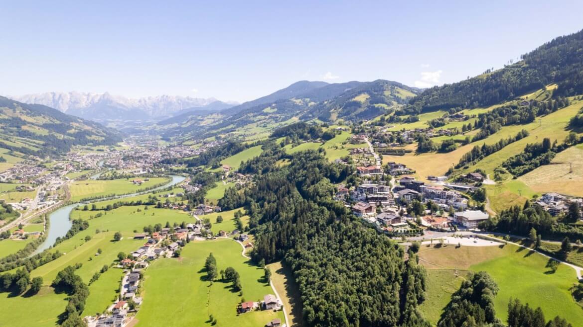
The Pongau's district capital on a terrace above the Salzach, its twin-towered church nicknamed the Pongauer Dom, with the Liechtensteinklamm slot gorge just south.
- 24Highlights
- 71Routes
- Featured summit · Hochgründeck
Highlights
The 20 highest-rated · see the rest on josalzburg.com ↗
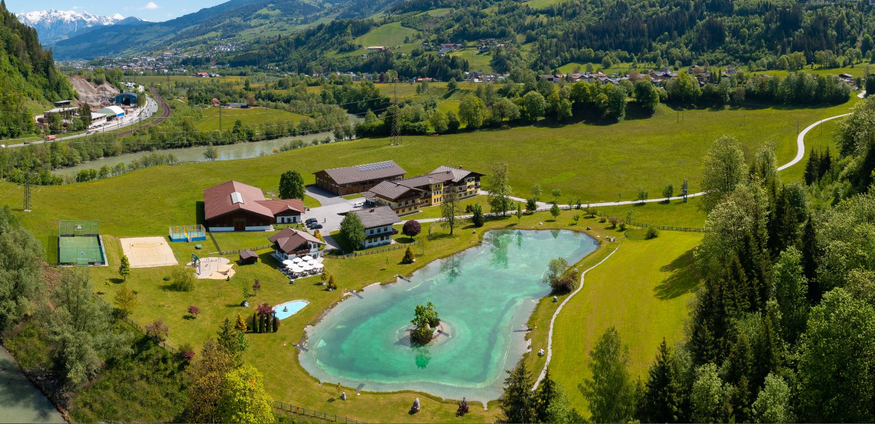
Badesee Schlosshof
A bathing lake at Schlosshof near St. Johann im Pongau, with swimming in summer and a beach volleyball court on the shore.
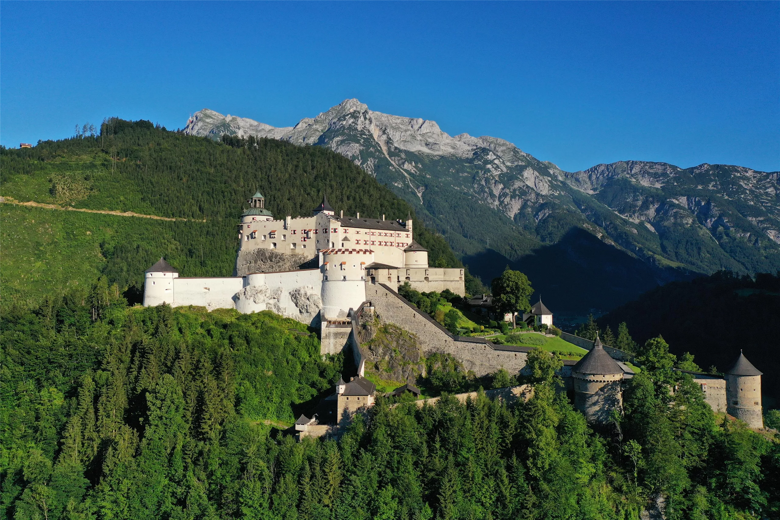
Burg Hohenwerfen
A fortress founded in the 11th century on a rock spur above Werfen, guarding the Salzach valley; today it houses a falconry centre and museum.
Liechtensteinklamm
A deep, narrow gorge near St. Johann im Pongau, opened with walkways in 1875 with support from the Prince of Liechtenstein and ending at a waterfall.
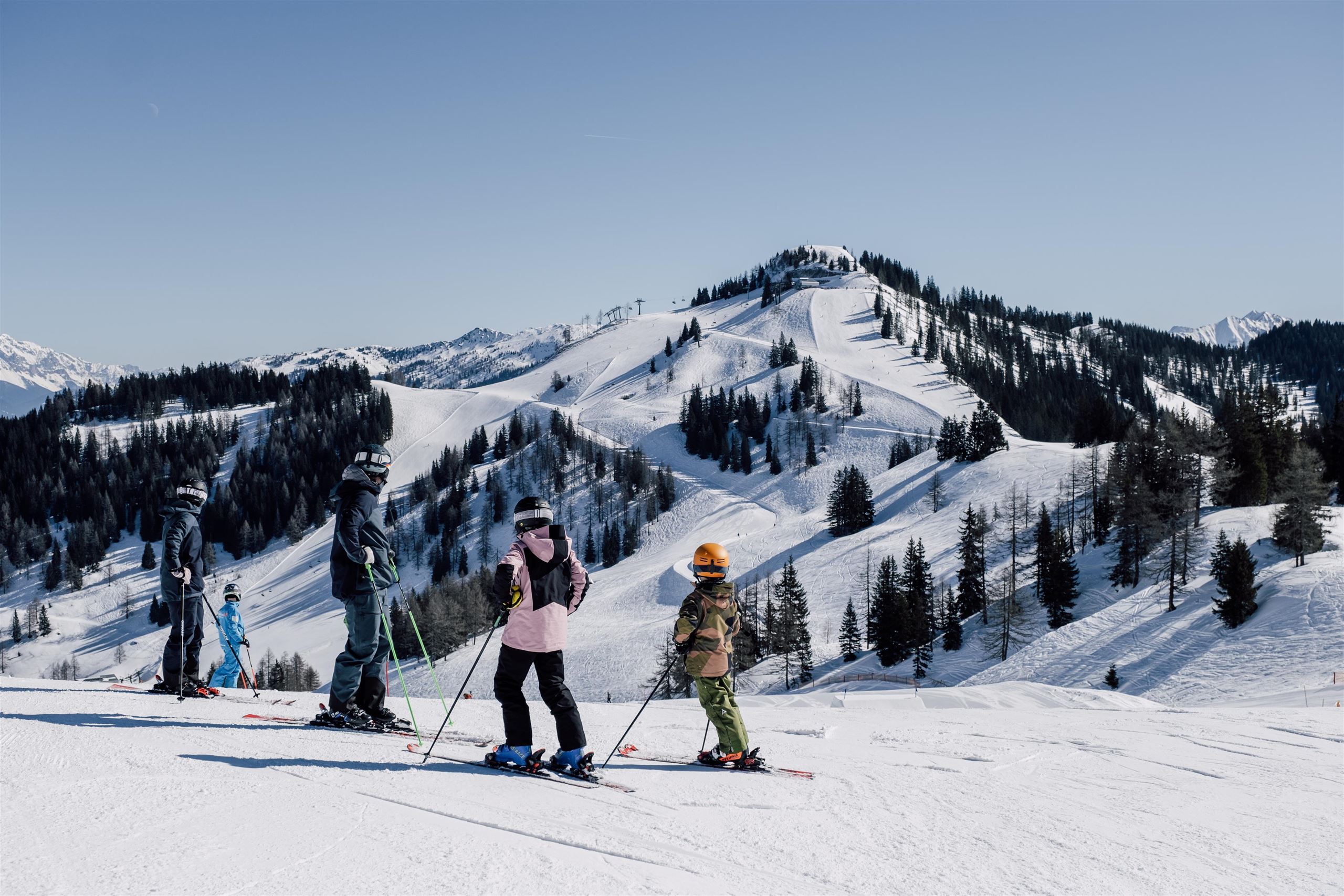
Snow Space Salzburg
A lift and ski network above St. Johann im Pongau, linking the town's slopes with Wagrain and Flachau in the Salzburg mountains.
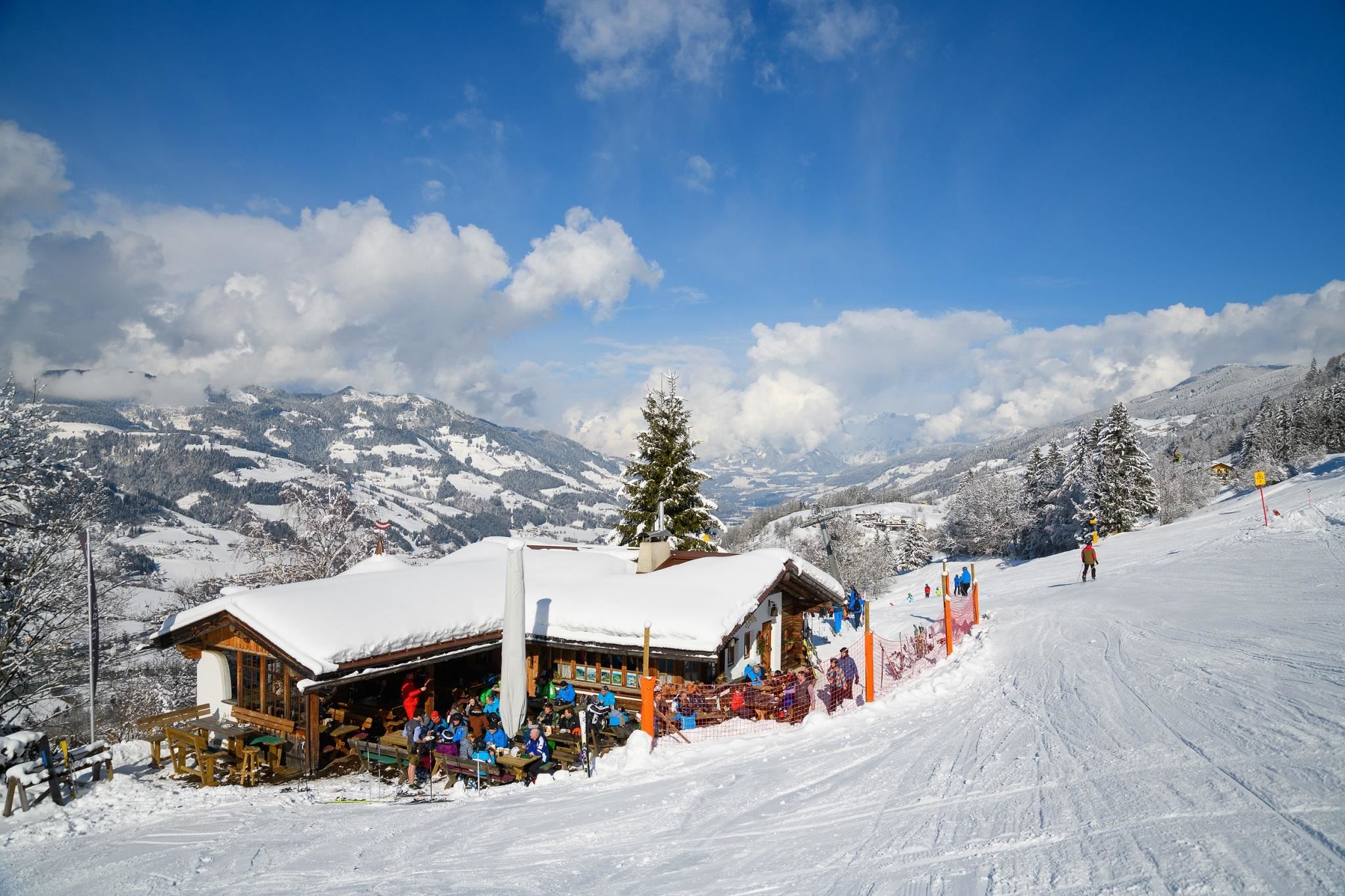
Buchauhütte
A ski hut on the Alpendorf-Gernkogel slopes above St. Johann im Pongau, serving skiers within the Snow Space Salzburg area.
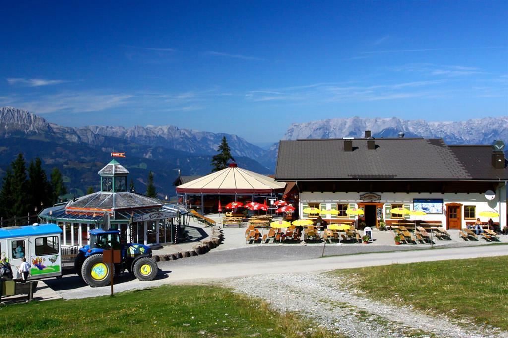
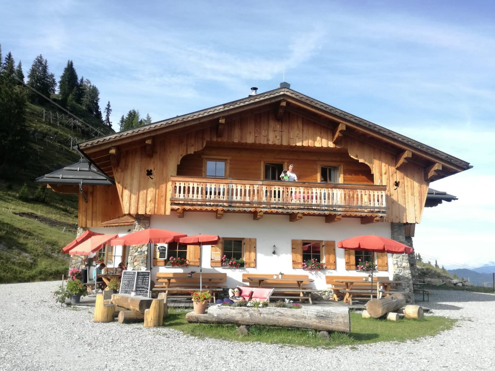
Gernkogelalm
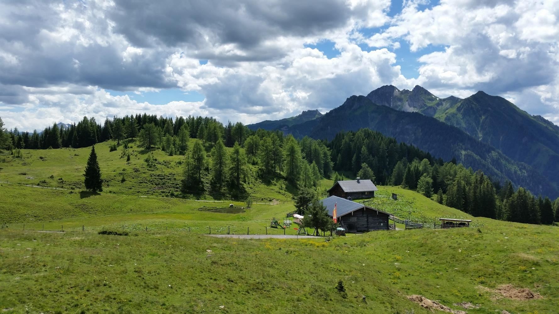
An alm hut on the Gernkogel above St. Johann-Alpendorf, serving regional dishes to skiers in winter and walkers in summer.
Großunterbergalm
A ski hut on the slopes above St. Johann im Pongau, serving regional dishes within the Snow Space Salzburg ski area.
Gut Berg Stadl
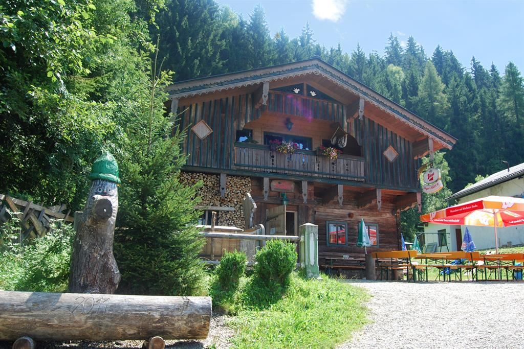
A rustic hut and bar at Gut Berg above St. Johann im Pongau, used for ski stops, après-ski and private celebrations.
Hachaualm
A ski-slope restaurant on the western side of the Wagrain ski area, serving regional cooking during the winter season.
Haiben Alm - Hüttenurlaub SalzburgerLand
An alpine snack station above St. Johann im Pongau, serving regional fare and offering simple hut holidays in the SalzburgerLand style.
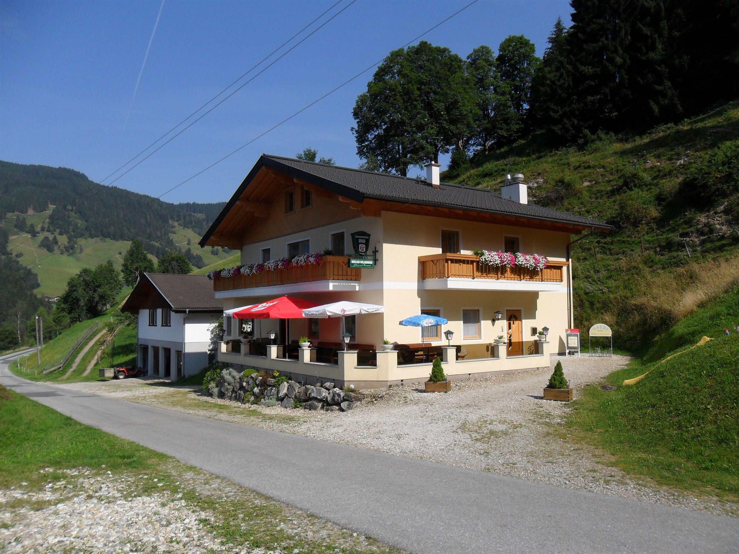
Jausenstation Grub
A farmhouse snack station at Grub above Wagrain, open summer and winter with regional cooking and views over the valley.
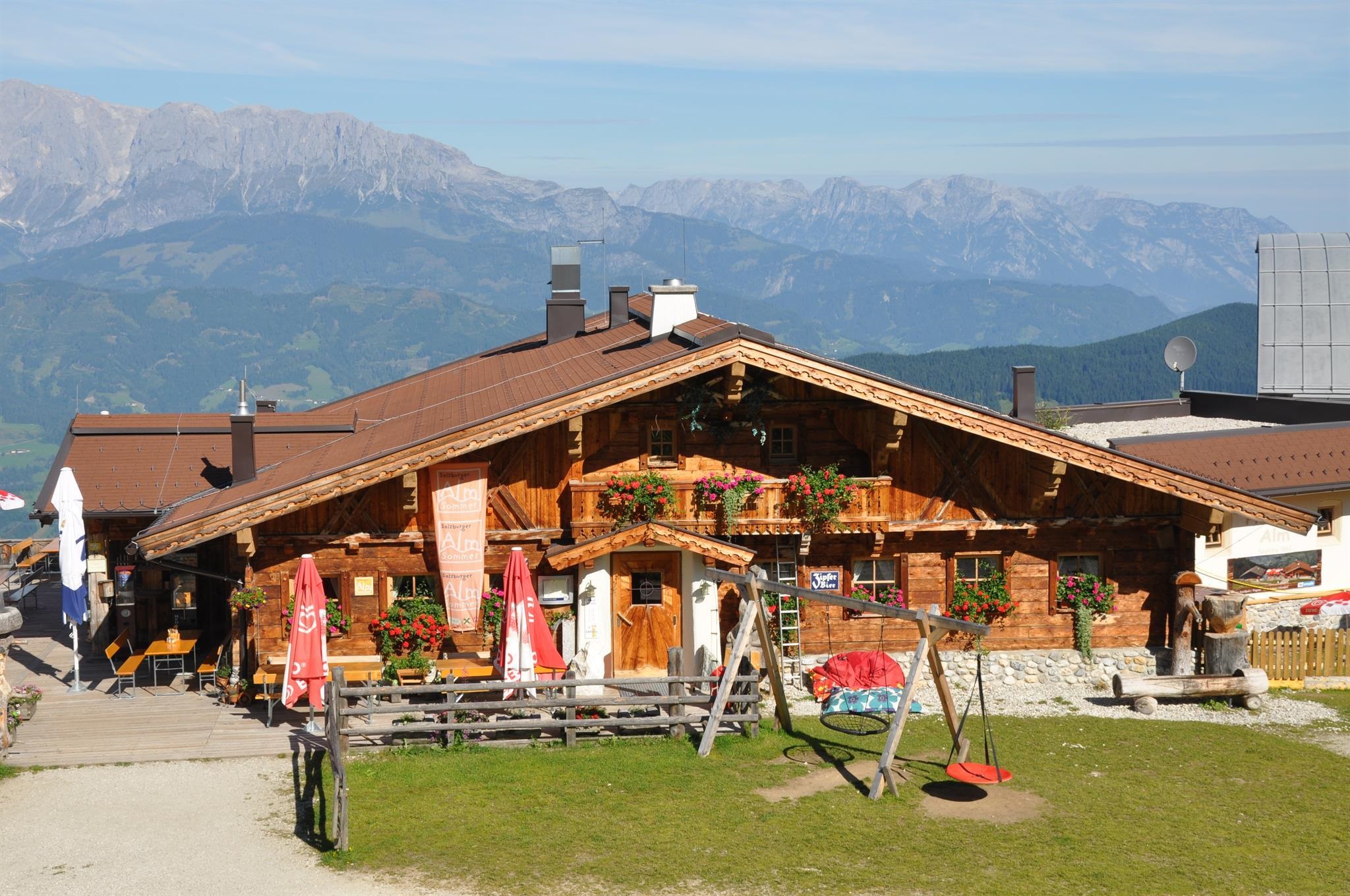
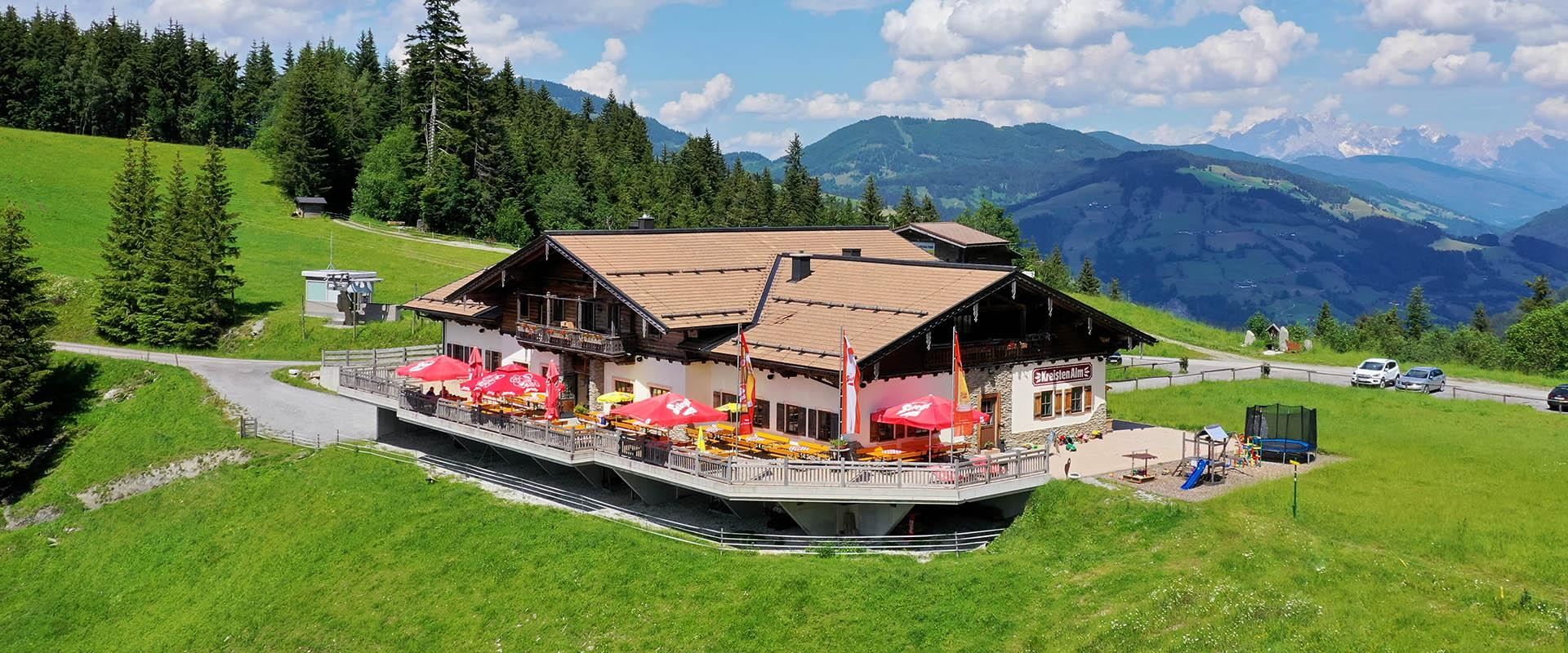
Kreistenalm
A ski hut on the slopes above St. Johann im Pongau, a stop within the Snow Space area that also hosts mountain weddings.
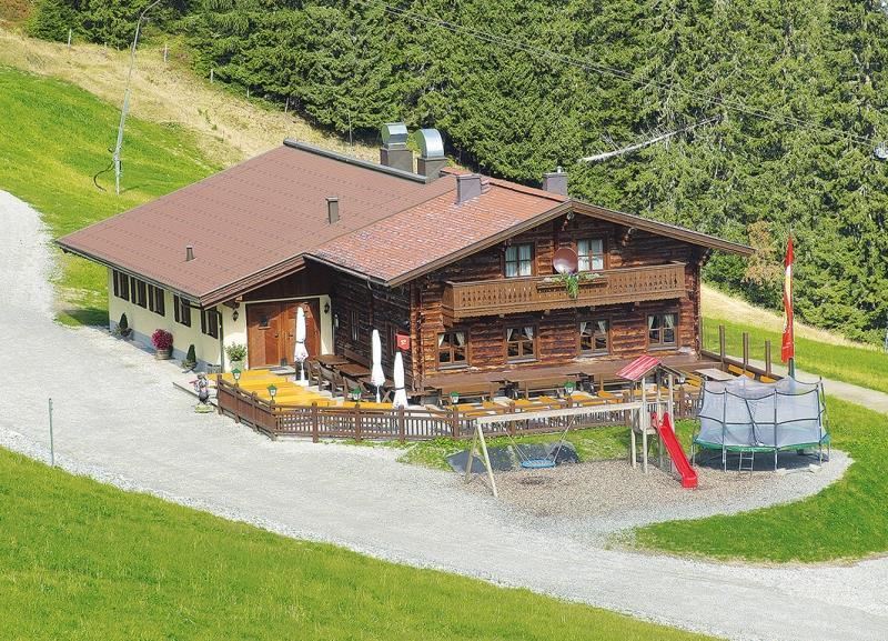
Obergassalm
An alm snack station in the mountains above St. Johann im Pongau, a rest stop for walkers on the surrounding trails.
Rettenebenalm
An alm snack station above St. Johann im Pongau, serving regional dishes and reached on walking paths from the Pongau valley.
Vogei Hütt'n
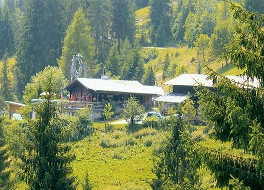
A small pasture hut and snack station on the slopes above St. Johann im Pongau, serving simple Pongau farm fare in season.
Geisterberg
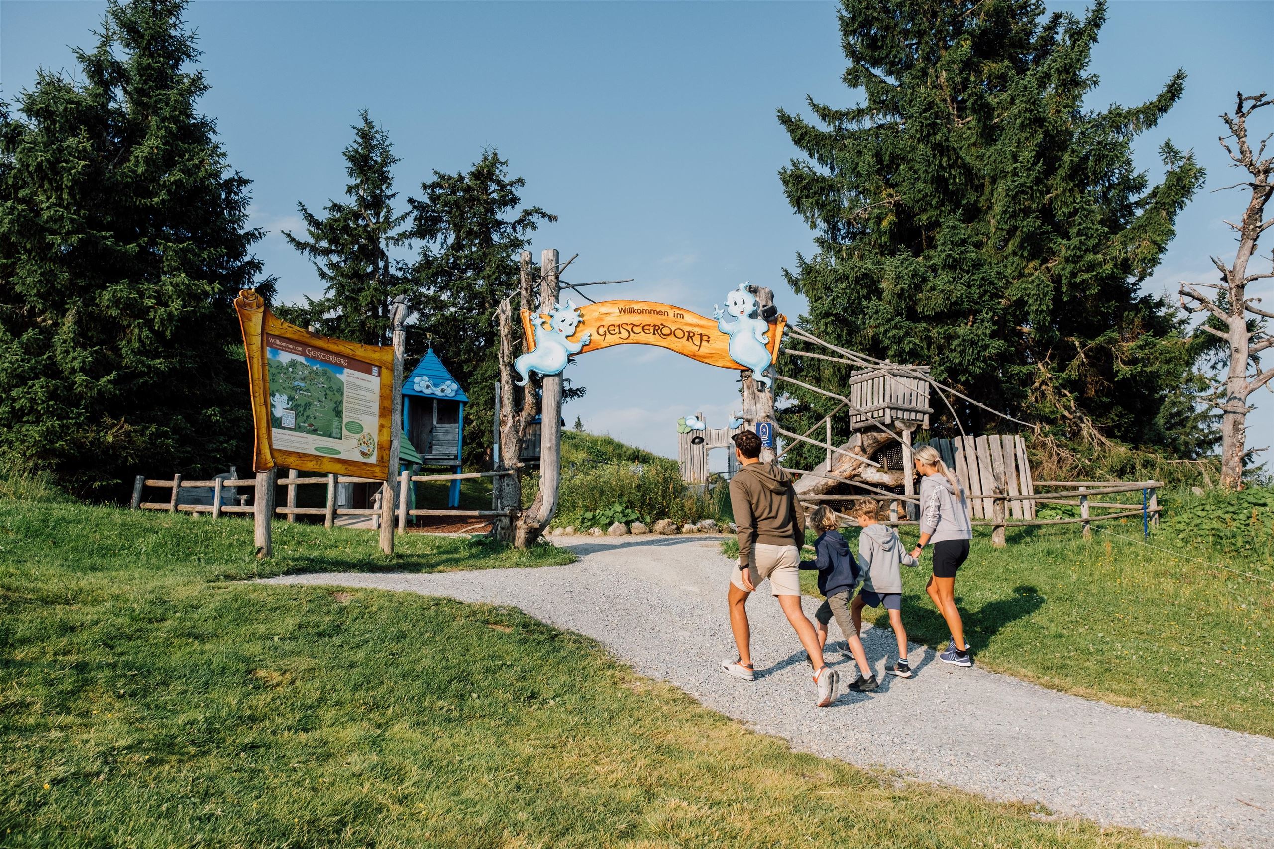
A ghost-themed family adventure area on the Gernkogel above St. Johann-Alpendorf, reached by gondola and dotted with play stations.
Deck7 by Haven | Hochzeitslocation
A restaurant and wedding venue in the mountain resort area of St. Johann im Pongau, hosting celebrations above the town.
Hubertus, Wirtshaus
A country inn in the St. Johann im Pongau area, serving regional and international dishes and catering for celebrations.
JO Congress
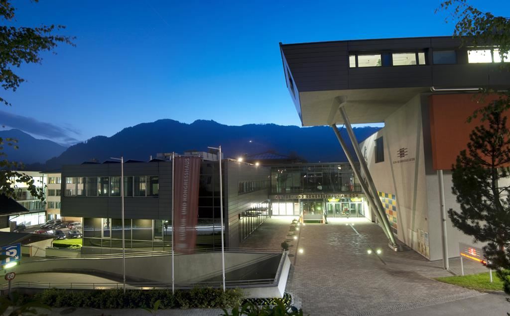
The congress and event house of St. Johann im Pongau, hosting conferences, concerts and festivities in the Pongau town.
JO Congress | Hochzeitslocation
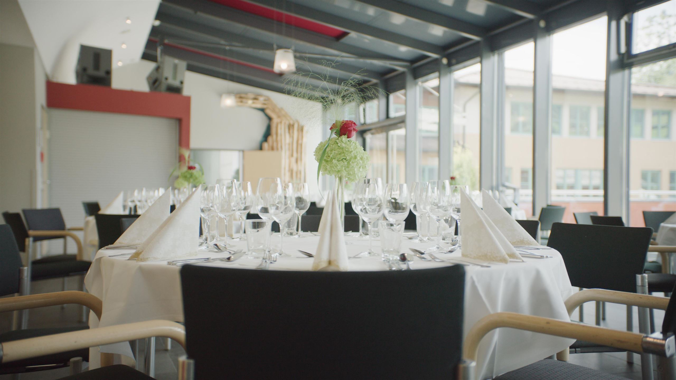
The congress house of St. Johann im Pongau, rented for weddings, conferences and larger celebrations in the Salzburg mountains.
Nothing of this kind in Sankt Johann im Pongau.
Routes
50 routes, an even mix of activities · see the rest on josalzburg.com ↗
Drachi's Einsteiger-Klettersteig
Beginners' via ferrata on the Geisterberg at the Gernkogel, set up for children and teenagers from twelve upwards.
- 17 m
- Distance
- 0 m
- Ascent
- 1 min
- Duration
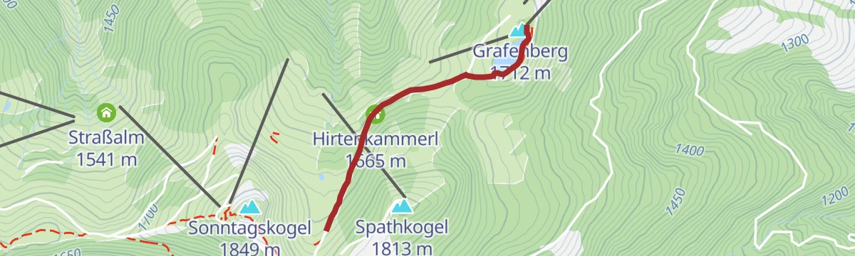
Familien Wanderung: Wagrainis Grafenberg (712/713)/Sommer 2026: Grafenbergbahn wegen Neubau geschlossen
Short family loop on the Grafenberg past the Grafenbergalm and the reservoir; the Grafenbergbahn is closed for rebuilding through summer 2026.
- 3.2 km
- Distance
- 108 m
- Ascent
- 1 h 1 min
- Duration
- 53
- Check-ins
Familien Wanderung: Grafenbergbahn - Sonntagskogel - Wagrain/Sommer 2026: Grafenbergbahn wegen Neubau geschlossen
Family walk from the Grafenberg top station over the Sonntagskogel and down to Wagrain past the Höllenstein; the Grafenbergbahn is closed for rebuilding in summer 2026.
- 9.3 km
- Distance
- 267 m
- Ascent
- 4 h
- Duration
- 93
- Check-ins
Salzachpromenade
Flat riverside walking on both banks of the Salzach, upstream towards Schwarzach or down towards Bischofshofen, with plenty of places to stop along the way.
- 19.3 km
- Distance
- 20 m
- Ascent
- 4 h 33 min
- Duration
Skitourenroute Hahnbaum
Marked ski-touring line up the local hill of St. Johann, 418 m of climbing in under 2 km past the Vögeihütte.
- 1.8 km
- Distance
- 436 m
- Ascent
- 17 m
- Descent
- 1 h 10 min
- Duration
- 1
- Check-ins
Skitourenroute Alpendorf
Marked ski-touring route from Alpendorf to the Gernkogel, just over 1,000 m of climbing by way of the Kreistenalm.
- 6.5 km
- Distance
- 1 014 m
- Ascent
- 22 m
- Descent
- 2 h 58 min
- Duration
- 24
- Check-ins
Liechtensteinklamm
An easy, almost flat ride from Sankt Johann to the mouth of the gorge, passing the Plankenau bathing lake and the Klammfürst.
- 7.0 km
- Distance
- 41 m
- Ascent
- 40 min
- Duration
- 9
- Check-ins
(E-)Bike & Hike Regenerationsmomente am Hochgründeck
Bike-and-hike climb to the Hochgründeck and its full-circle view, with nine marked stopping places and a barefoot section on the final stretch.
- 10.6 km
- Distance
- 749 m
- Ascent
- 1 h 53 min
- Duration
- 18
- Check-ins
Mountainbiketour Kleinarl - Wagrain - St. Johann im Pongau
A long tour down the valley towards St. Johann im Pongau, taking in the Krapfenalm and the Berggasthof Höllenstein at 1,412 m.
- 30.4 km
- Distance
- 865 m
- Ascent
- 3 h 31 min
- Duration
- 38
- Check-ins
Regenerieren beim Fieberbründl – mit Bergbahnenaufstieg/Sommer 2026: Grafenbergbahn wegen Neubau geschlossen
Gondola-assisted short walk on the Grafenberg to the Fieberbründl spring, past the Bienenhaus; the Grafenbergbahn is closed for rebuilding in summer 2026.
- 2.8 km
- Distance
- 96 m
- Ascent
- 53 min
- Duration
- 38
- Check-ins
 Grafenberg 1 712 m
 Hachaualm 1 642 m
- Grafen Residenz 1 711 m
- Hirtenkammerl 1 665 m
 Speicher Grafenberg 1 706 m
- Bienenhaus 1 702 m
Wanderung über 5 Almen gegen den Strom
Mostly downhill traverse from the Alpendorf gondola along the Wagrainer Höhenweg, calling at the Maurachalm, Unterwandalm and Karseggalm before a bus back from the Sonneck bridge.
- 12.9 km
- Distance
- 419 m
- Ascent
- 4 h 27 min
- Duration
- 62
- Check-ins
Mountainbiketour Sonnseite - Ginau
A short ride along the sunny slope towards Ginau, climbing gently to the Jausenstation Grub above the valley floor.
- 7.4 km
- Distance
- 247 m
- Ascent
- 53 min
- Duration
- 2
- Check-ins
Hallmoos-Runde (SW51) - Tourenführung 2026
A forest-road circuit over to Wagrain and back, taking in the Berggasthof Höllenstein, the Sonnalm and the Krapfenalm.
- 29.5 km
- Distance
- 1 029 m
- Ascent
- 3 h 35 min
- Duration
- 37
- Check-ins
Geisterberg & Gernkogel
Short walk at the top of the Alpendorf gondola to the ghost-themed adventure park on the Gernkogel, with the Buchauhütte and Gernkogelalm on a pushchair-friendly path.
- 1.7 km
- Distance
- 187 m
- Ascent
- 47 min
- Duration
- 36
- Check-ins
- Gernkogelalm 1 745 m
- Buchauhütte 1 696 m
- Speicherbecken Gernkogel 1 752 m
- Gondl Stubn 1 567 m
Salzburger Almenweg - Etappe 14: Gernkogel/St. Johann – Kleinarler Hütte
Almenweg stage over the Gernkogel and Sonntagskogel, then across the Gabel and down to the Kleinarler Hütte in the Kleinarl valley.
- 9.3 km
- Distance
- 537 m
- Ascent
- 3 h 48 min
- Duration
- 58
- Check-ins
Schloss Goldegg
A ride from the Salzach valley up to Goldegg am See, climbing to the lake and castle terrace at just over 800 m.
- 14.6 km
- Distance
- 350 m
- Ascent
- 1 h 33 min
- Duration
- 1
- Check-ins
Am Fuße des Hochkönigs
A long day round the foot of the Hochkönig from Wagrain, by the Übergossene Alm and the Mittereggalm.
- 74.8 km
- Distance
- 1 720 m
- Ascent
- 8 h 16 min
- Duration
- 14
- Check-ins
Grafenberg - Maurachalm - Sonntagskogel/Sommer 2026: Grafenbergbahn wegen Neubau geschlossen
High-level round from the Grafenberg top station past the Sonntagskogel and Grindkogel to the Maurachalm; the Grafenbergbahn is closed for rebuilding in summer 2026.
- 6.0 km
- Distance
- 278 m
- Ascent
- 2 h 6 min
- Duration
- 28
- Check-ins
Sonntagskogel & Maurachalm
Walk largely above the treeline from the Gernkogelalm over the Sonntagskogel to the Maurachalm, with a wide view over the region.
- 11.1 km
- Distance
- 624 m
- Ascent
- 4 h 24 min
- Duration
- 50
- Check-ins
Kreistenalm-Runde (SW54)
A forest-road loop up to the pasture at 1,271 m beside the Kreisten drag lift, returning past the Alpengasthof Sternhof.
- 20.0 km
- Distance
- 792 m
- Ascent
- 2 h 31 min
- Duration
- 14
- Check-ins
Alpendorf - Liechtensteinklamm
Approach on foot from Alpendorf to the Liechtensteinklamm gorge, 4 km with 220 m of ascent, passing the Klammfürst at the entrance.
- 4.2 km
- Distance
- 172 m
- Ascent
- 1 h 25 min
- Duration
- 9
- Check-ins
Gernkogel & Sonntagskogel
Short double-summit walk over the Sonntagskogel and Hirschkogel from the Gernkogelalm, 368 m of ascent and manageable for families.
- 4.3 km
- Distance
- 361 m
- Ascent
- 1 h 49 min
- Duration
- 49
- Check-ins
- Sonntagskogel 1 849 m
- Hirschkogel 1 754 m
- Gernkogelalm 1 745 m
- Buchauhütte 1 696 m
- Gondl Stubn 1 567 m
- Speicherbecken Gsteng 1 717 m
Gründeck-Runde
A long valley-and-hillside circuit from Wagrain by Bischofshofen, working round below the Gründeck.
- 51.4 km
- Distance
- 666 m
- Ascent
- 5 h 11 min
- Duration
- 13
- Check-ins
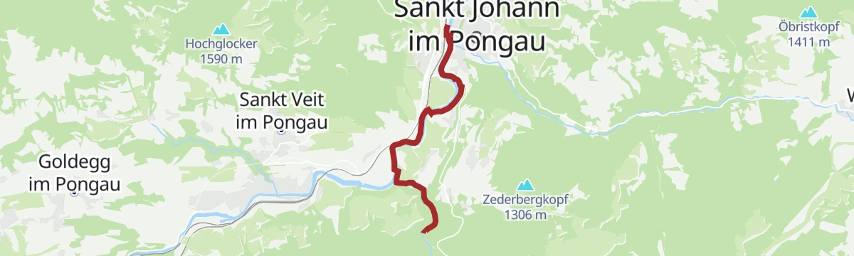
Bahnhof - Liechtensteinklamm
Almost level approach from the railway station in St. Johann, following the Salzach to the Liechtensteinklamm gorge.
- 5.9 km
- Distance
- 60 m
- Ascent
- 1 h 29 min
- Duration
- 9
- Check-ins
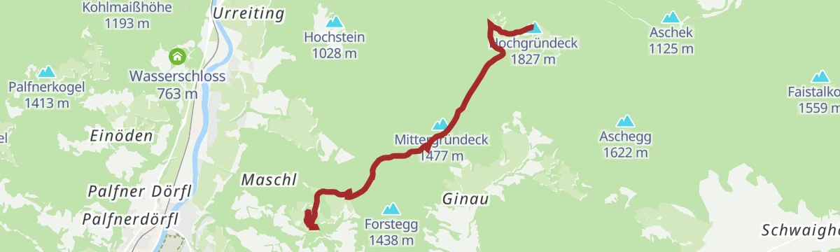
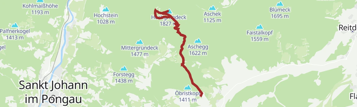
Hochgründeck (ab Hahnbaum)
Climb from Hahnbaum over the Obergründeck to the Hochgründeck and the Heinrich-Kiener-Haus, 740 m of ascent with a long view from the top.
- 7.3 km
- Distance
- 741 m
- Ascent
- 3 h 16 min
- Duration
- 20
- Check-ins
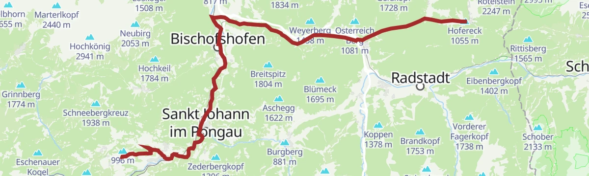
Rund um das Hochgründeck
A circuit right round the Hochgründeck from Bischofshofen, crossing the Wagrainer Höhe.
- 55.3 km
- Distance
- 689 m
- Ascent
- 5 h 33 min
- Duration
- 13
- Check-ins
Citybus - Liechtensteinklamm (Variante 1)
Short link path from the Glückauf city-bus stop to the entrance of the Liechtensteinklamm, barely more than a kilometre.
- 1.2 km
- Distance
- 21 m
- Ascent
- 19 min
- Duration
- 9
- Check-ins
Hochgründeck (ab Floitensberg)
Forest-road climb from the Floitensberg car park by the Gründecksattel to a summit counted among the highest wooded peaks in Europe, with some 300 tops in view.
- 5.3 km
- Distance
- 569 m
- Ascent
- 2 h 26 min
- Duration
- 19
- Check-ins
Rund um das Hochgründeck Rennrad Tour
The road-bike version of the Hochgründeck circuit, on tarmac the whole way round.
- 52.9 km
- Distance
- 680 m
- Ascent
- 5 h 20 min
- Duration
- 13
- Check-ins
Citybus - Liechtensteinklamm (Variante 2)
Two-kilometre approach on forest paths from the Plankenauwirt bus stop to the Liechtensteinklamm gorge.
- 2.0 km
- Distance
- 95 m
- Ascent
- 42 min
- Duration
- 9
- Check-ins
Salzburger Gipfelspiel: Hochgründeck
Summit entry in the Salzburger Gipfelspiel, 815 m of climbing from the Stein-Bauer car park to the Hochgründeck and its far-reaching view.
- 6.2 km
- Distance
- 817 m
- Ascent
- 3 h 17 min
- Duration
- 19
- Check-ins
Eben-Hochgründeck-Runde (SW61)
A big forest-road round from Eben im Pongau over the Ginausattel to the Heinrich-Kiener-Haus at 1,792 m on the Gründeck ridge.
- 46.7 km
- Distance
- 1 342 m
- Ascent
- 5 h 25 min
- Duration
- 12
- Check-ins
- Mittergründeck 1 477 m
- Heinrich-Kiener-Haus 1 792 m
- Reitecksee Badesee 885 m
 Wagrainer Höhe 933 m
- Neuhof 910 m
- Ginausattel 1 379 m
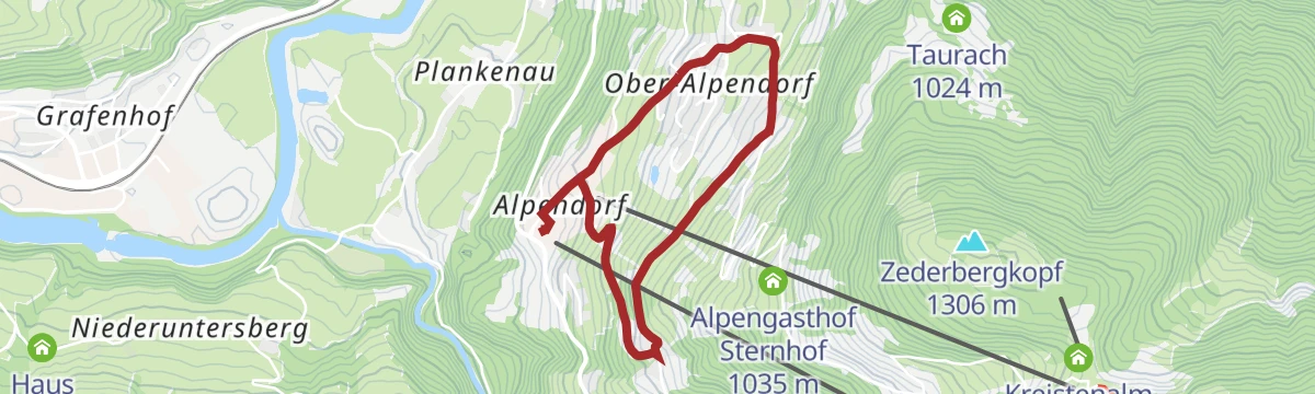
Alpendorf-Panoramaweg mit Baumlehrpfad
Easy circuit at Alpendorf with a tree trail along the route, passing the Oberforsthofalm, and 177 m of ascent in all.
- 3.7 km
- Distance
- 168 m
- Ascent
- 1 h 16 min
- Duration
- 6
- Check-ins
Heinrich Kiener Haus /Hochgründeck 1827m (453)
Walk to the 1,827 m Hochgründeck and the Heinrich-Kiener-Haus by way of the Lackenkapelle, with 594 m of ascent over 12 km.
- 12.5 km
- Distance
- 665 m
- Ascent
- 4 h 46 min
- Duration
- 18
- Check-ins
Filzmoos - Schloss Goldegg
A long, gently graded run from Filzmoos down the Enns to Schloss Goldegg, by way of Schwarzach.
- 50.6 km
- Distance
- 412 m
- Ascent
- 4 h 57 min
- Duration
- 12
- Check-ins
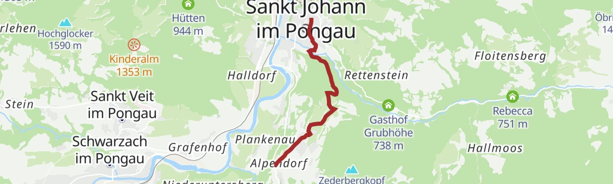
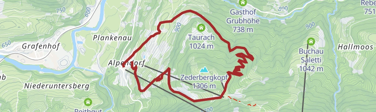
Stadtzentrum - Alpendorf (über Zederberg)
Link path between the centre of St. Johann and Alpendorf over the Zederberg, 231 m of ascent and walkable in either direction.
- 4.4 km
- Distance
- 247 m
- Ascent
- 1 h 32 min
- Duration
- 3
- Check-ins
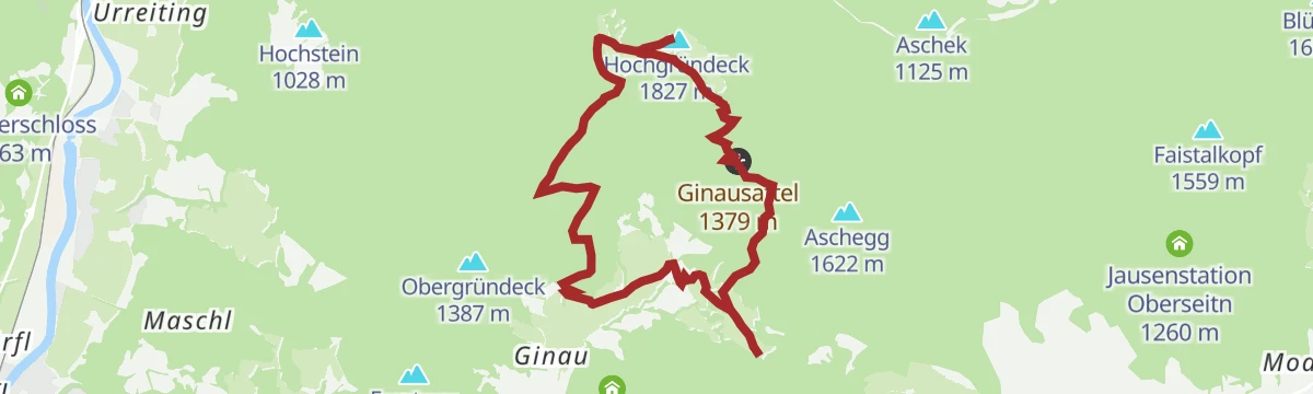
Hochgründeck (1827m) - von Ginau SW6
Straightforward climb from Ginau through forest and meadow by the Ginausattel to the 1,827 m summit and the Heinrich-Kiener-Haus.
- 9.5 km
- Distance
- 725 m
- Ascent
- 4 h 43 min
- Duration
- 18
- Check-ins
Hochgründeck-Runde (SW52)
A demanding circuit climbing to the Heinrich-Kiener-Haus at 1,792 m, crossing the Obergründeck and Mittergründeck on the ridge.
- 34.4 km
- Distance
- 1 396 m
- Ascent
- 4 h 22 min
- Duration
- 11
- Check-ins
Stadtzentrum - Alpendorf (über Ötzmoos)
Alternative link between the town centre and Alpendorf by way of Ötzmoos, with 285 m of ascent over about 4 km.
- 4.3 km
- Distance
- 271 m
- Ascent
- 1 h 39 min
- Duration
- 2
- Check-ins
Alpendorf - Bergstation Gondelbahn
Walk up to the gondola top station instead of riding it, 833 m by the Oberforsthofalm and Kreistenalm, with a tree trail of 30 native species low down and the Obergaßalm at the end.
- 7.5 km
- Distance
- 832 m
- Ascent
- 3 h 29 min
- Duration
- 15
- Check-ins
Watzmann- Hochkönig - südliche Runde Etappe 1
The opening stage of a multi-day tour, leaving Bischofshofen over the Ginausattel and the Obergründeck ridge to the Heinrich-Kiener-Haus.
- 55.0 km
- Distance
- 2 280 m
- Ascent
- 6 h 54 min
- Duration
- 11
- Check-ins
Rettenebenalm
Easy climb of 158 m to the Rettenebenalm, short enough and smooth enough to manage with a pushchair.
- 1.9 km
- Distance
- 154 m
- Ascent
- 42 min
- Duration
- 1
- Check-ins
Dachmannweg
Round from Alpendorf by way of Ötzmoos up to the Kreistenalm, returning past the Sternhof, with 602 m of ascent.
- 8.8 km
- Distance
- 606 m
- Ascent
- 4 h
- Duration
- 12
- Check-ins
Eben-Hüttau-Hochgründeck Runde
Some 1,400 m of climbing between Niedernfritz in the Salzach valley and the Kiener-Haus on the ridge above, taken over the Ginausattel.
- 45.8 km
- Distance
- 1 519 m
- Ascent
- 5 h 30 min
- Duration
- 8
- Check-ins
Rettenebenalm-Rundweg
Loop from the Arlberg car park up to the Rettenebenalm and back down, with 271 m of ascent over under 5 km.
- 4.7 km
- Distance
- 262 m
- Ascent
- 1 h 51 min
- Duration
- 1
- Check-ins
Klammrunde
Round from the fitness park in St. Johann out to the Liechtensteinklamm and back, 8 km with only 205 m of ascent.
- 8.3 km
- Distance
- 201 m
- Ascent
- 2 h 26 min
- Duration
- 9
- Check-ins
Böndlsee
A long tour from Sankt Johann down to Schwarzach and on towards Loifarn, passing the bathing lake at Plankenau on the way.
- 39.8 km
- Distance
- 614 m
- Ascent
- 4 h 6 min
- Duration
- 6
- Check-ins
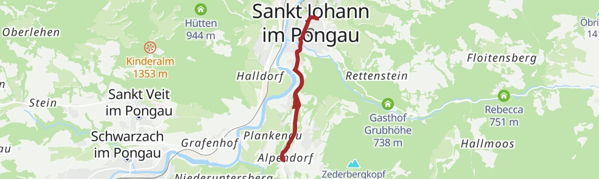
Stadtzentrum - Alpendorf (über Grubhof)
An easy link on foot from the town centre of Sankt Johann im Pongau up to the gondola base station at Alpendorf.
- 3.8 km
- Distance
- 149 m
- Ascent
- 1 h 10 min
- Duration
- 1
- Check-ins
Rettenebenalm - Hochglocker
A short climb through the pastures of the Roslalm to the Hochglocker summit above Sankt Johann im Pongau.
- 5.0 km
- Distance
- 409 m
- Ascent
- 1 h 57 min
- Duration
- 2
- Check-ins
Tauernradweg - Teilstück Schwarzach bis Werfen
A stage down the Salzach from Schwarzach im Pongau to Werfen, passing the bathing lake at Plankenau and Pfarrwerfen.
- 24.5 km
- Distance
- 42 m
- Ascent
- 2 h 14 min
- Duration
- 6
- Check-ins
No routes of this kind in Sankt Johann im Pongau yet.
The region's own picks

Featured route
Familien Wanderung: Wagrainis Grafenberg (712/713)/Sommer 2026: Grafenbergbahn wegen Neubau geschlossen
Short family loop on the Grafenberg past the Grafenbergalm and the reservoir; the Grafenbergbahn is closed for rebuilding through summer 2026.
Planning a trip to Sankt Johann im Pongau?
Everything else Salzburg (state) has, in one place


Take Sankt Johann im Pongau with you into the mountains
Every route on this page with 3D terrain, GPX navigation and offline maps — including the valleys with no signal.
Data sources
- Official website: josalzburg.com ↗
- Routes and highlights: St. Johann im Pongau Tourismus, Wagrain-Kleinarl Tourismus, Salzburger Sportwelt, Großarltal Tourismus, Altenmarkt-Zauchensee Tourismus, Flachau Tourismus, Filzmoos Tourismus
- Published as open data by the tourist boards named above.
- Region summary generated from the board's own material.
