
Curated by APT Dolomiti di Brenta e Paganella
San Lorenzo Dorsino
A Giudicarie comune of stone hamlets below the western Brenta, on the edge of the Adamello-Brenta park.
- 1Highlights
- 58Routes
- Featured summit · Passo Forcolotta di Noghera
Highlights
3 from neighbouring places
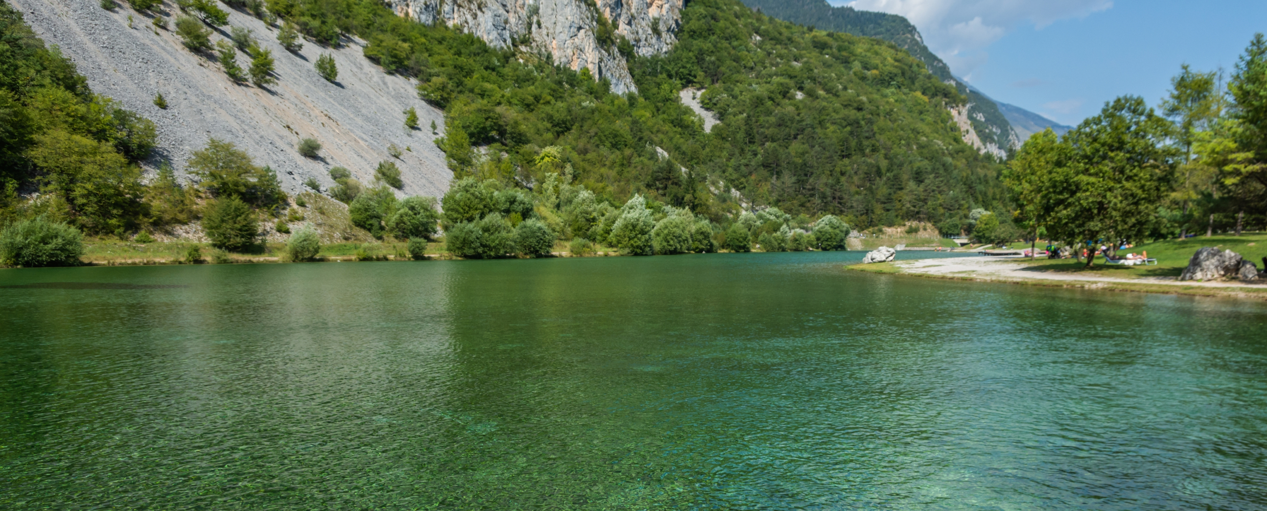
Lago di Nembia
A small lake in the Sarca gorges near San Lorenzo Dorsino, on the edge of the Adamello-Brenta park.
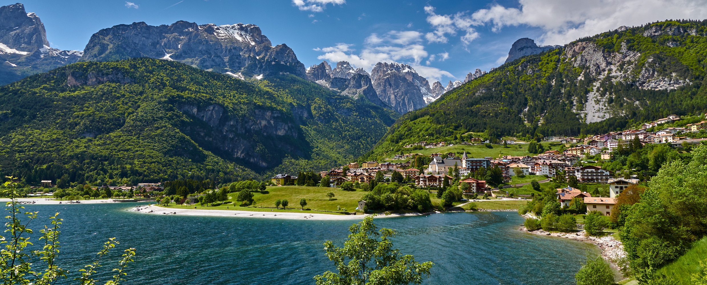
Lago di Molveno
4.4 km away, in Molveno
A lake at 864 m below the Brenta Dolomites, its water among the clearest in the Alps.
Baita Valon
7.7 km away, in Comano Terme
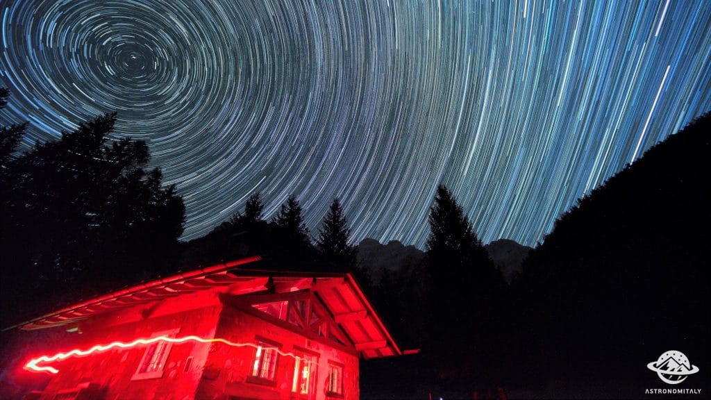
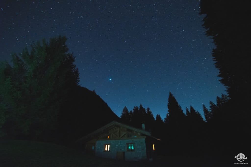
A hut on the Valon meadows above Comano, used for walks and for its dark night skies.
Stargazing a Baita Valon, Trentino
7.7 km away, in Comano Terme
Night-sky watching from the Valon meadows above Comano Terme, away from valley lights.
Nothing of this kind in San Lorenzo Dorsino.
Routes
50 routes, an even mix of activities · see the rest on visitpaganella.it ↗
Ferrata Livio Brentari
An equipped route in the southern Brenta reaching the Campanile Steck above the Molveno side of the range.
- 4.6 km
- Distance
- 527 m
- Ascent
- 4 h 8 min
- Duration
- 73
- Check-ins
 Campanile Steck 2 903 m
 Rifugio Tommaso Pedrotti 2 491 m
- Rifugio Val d'Ambiez - Silvio Agostini 2 410 m
 Sella della Tosa 2 872 m
- Bocca della Tosa 2 845 m
Open route APT Dolomiti di Brenta e PaganellaVia Ferrata Alpinistica Livio Brentari, Brenta Dolomites
A cabled traverse in the Brenta from the Pedrotti hut to the Agostini hut, on a narrow exposed ledge and down a hundred metres of vertical wall.
- 4.5 km
- Distance
- 601 m
- Ascent
- 4 h 15 min
- Duration
- 73
- Check-ins
- Campanile Steck 2 903 m
- Rifugio Tommaso Pedrotti 2 491 m
- Rifugio Val d'Ambiez - Silvio Agostini 2 410 m
- Sella della Tosa 2 872 m
- Bocca della Tosa 2 845 m
Open route APT Madonna di Campiglio, Pinzolo, Val RendenaVia Ferrata Ettore Castiglioni, Brenta Dolomites
A vertical two-hundred-metre cabled line up Cima Susat below the Bocchetta dei Due Denti, opened in 1946 on ground Castiglioni first climbed.
- 3.0 km
- Distance
- 411 m
- Ascent
- 2 h 47 min
- Duration
- 65
- Check-ins
- Rifugio XII Apostoli 2 489 m
- Rifugio Val d'Ambiez - Silvio Agostini 2 410 m
- Bocchetta dei Due Denti 2 859 m
Open route APT Madonna di Campiglio, Pinzolo, Val RendenaDBT Stage 6: Rifugio XII Apostoli - Rifugio S. Agostini
A stage ending at the Rifugio Silvio Agostini in the Val d'Ambiez, a Brenta basin walled by steep dolomite with the Ambiez face above.
- 2.8 km
- Distance
- 318 m
- Ascent
- 2 h 6 min
- Duration
- 65
- Check-ins
- Rifugio XII Apostoli 2 489 m
- Rifugio Val d'Ambiez - Silvio Agostini 2 410 m
- Bocchetta dei Due Denti 2 859 m
Open route APT Madonna di Campiglio, Pinzolo, Val RendenaAcross the Brenta Dolomites - Sentiero Palmieri (basso)
The lower Palmieri path in the southern Brenta, crossing to the Forcolotta di Noghera below the walls of the Ceda group.
- 6.5 km
- Distance
- 613 m
- Ascent
- 3 h 41 min
- Duration
- 81
- Check-ins
- Passo Forcolotta di Noghera 2 449 m
- Rifugio Tommaso Pedrotti 2 491 m
- Rifugio Val d'Ambiez - Silvio Agostini 2 410 m
- Rifugio Tosa 2 439 m
- Forcolotta di Noghera 2 423 m
Open route APT Dolomiti di Brenta e PaganellaBrenta Trek - Tappa 3 - Rif. XII Apostoli – Rif. Pedrotti
The third stage of the Brenta Trek, crossing from the Dodici Apostoli hut over the Forcolotta di Noghera to the Pedrotti hut.
- 9.5 km
- Distance
- 913 m
- Ascent
- 5 h 42 min
- Duration
- 114
- Check-ins
- Passo Forcolotta di Noghera 2 449 m
- Rifugio Tommaso Pedrotti 2 491 m
- Rifugio XII Apostoli 2 489 m
- Rifugio Val d'Ambiez - Silvio Agostini 2 410 m
- Bocchetta dei Due Denti 2 859 m
- Forcolotta di Noghera 2 423 m
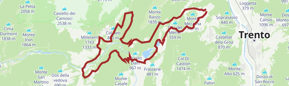
Open route APT Madonna di Campiglio, Pinzolo, Val Rendena804 "Ranzo-Andalo MTB"
A big dirt-road link back from Ranzo to Andalo, over the Sella di Andalo and past Malga Gazza and Malga Covelo.
- 42.4 km
- Distance
- 3 314 m
- Ascent
- 8 h 9 min
- Duration
- 57
- Check-ins
- Lago Park Hotel 826 m
- Grand Hotel Molveno 838 m
- Chalet Paganella 2 1 752 m
- Sella di Andalo 1 042 m
- APT Dolomiti Paganella 1 021 m
- Malga Gazza 1 549 m
- +3
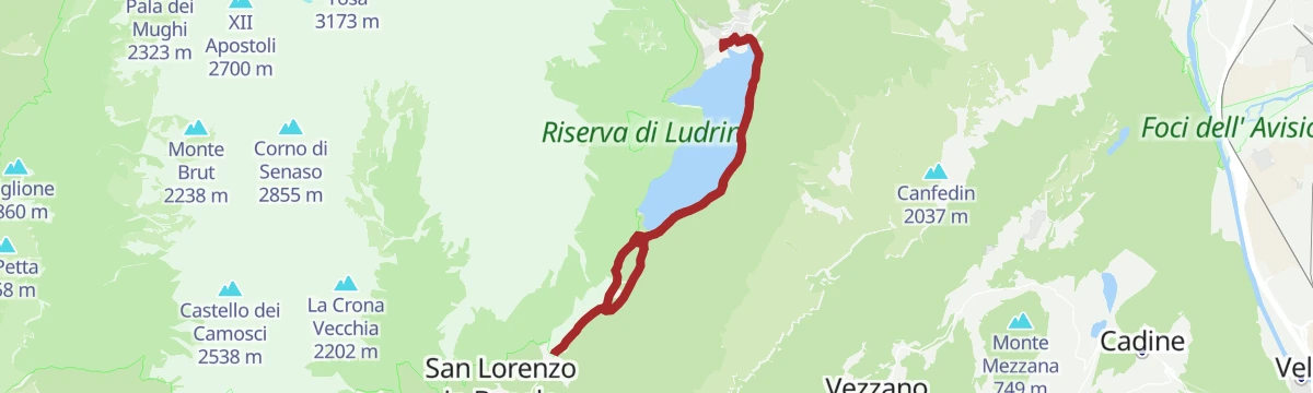
Open route APT Dolomiti di Brenta e PaganellaHandbike - Nembia and Madonna del Caravaggio
A short handbike route above San Lorenzo Dorsino, taking in the WWF reserve at the Laghetto di Nembia and the church at Deggia.
- 8.0 km
- Distance
- 196 m
- Ascent
- 54 min
- Duration
- 15
- Check-ins
Open route APT Dolomiti di Brenta e PaganellaThe stage of 2022 Giro d'Italia Women.
A race-length road route from the Rotaliana plain to San Lorenzo Dorsino, with three long climbs by way of Andalo, Molveno and Passo Santel.
- 113.6 km
- Distance
- 3 474 m
- Ascent
- 13 h 10 min
- Duration
- 137
- Check-ins
- Fontanella 845 m
- Lago Park Hotel 826 m
- Grand Hotel Molveno 838 m
- Tre3 1 037 m
- Albergo El Paso 1 036 m
- Passo Santel 1 040 m
- +20
Open route APT Dolomiti di Brenta e PaganellaWalk to the fossil deposits in Val d'Ambiez
A short walk up the Val d'Ambiez in the Brenta Dolomites to rock beds where marine fossils are exposed.
- 1.7 km
- Distance
- 133 m
- Ascent
- 50 min
- Duration
- 19
- Check-ins
Open route APT Dolomiti di Brenta e PaganellaDBT Stage 7: Rifugio S. Agostini - Rifugio Tosa Pedrotti
A stage from the Agostini hut to the Tosa and Pedrotti huts at the heart of the Brenta, on the saddle beside the Bocca di Brenta.
- 6.2 km
- Distance
- 552 m
- Ascent
- 3 h 19 min
- Duration
- 71
- Check-ins
- Passo Forcolotta di Noghera 2 449 m
- Rifugio Tommaso Pedrotti 2 491 m
- Rifugio Val d'Ambiez - Silvio Agostini 2 410 m
- Forcolotta di Noghera 2 423 m
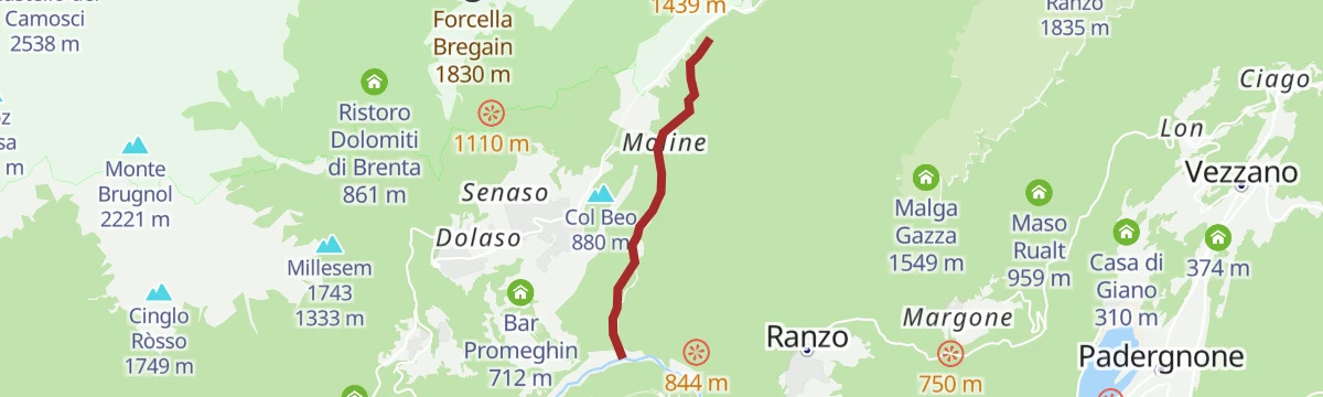
Open route APT Madonna di Campiglio, Pinzolo, Val Rendena44 - Molveno - Nembia - Moline – S. Lorenzo in Banale
A long route from Molveno by Nembia and Moline down to San Lorenzo in Banale in the Giudicarie.
- 24.6 km
- Distance
- 675 m
- Ascent
- 7 h 25 min
- Duration
- 65
- Check-ins
- Fontanella 845 m
 Laghetto di Nembia 782 m
- Lago Park Hotel 826 m
- Grand Hotel Molveno 838 m
- Athabaska 629 m
Open route APT Dolomiti di Brenta e PaganellaFrom the Dolomites to Lake Garda
A hundred-kilometre run down from the Brenta to the shore of Garda, back over the Passo Ballino and through the Limarò gorge.
- 106.4 km
- Distance
- 2 385 m
- Ascent
- 11 h 41 min
- Duration
- 131
- Check-ins
- Fontanella 845 m
- Lago Park Hotel 826 m
- Grand Hotel Molveno 838 m
- Sella di Andalo 1 042 m
- APT Dolomiti Paganella 1 021 m
- Centrale di Fies 191 m
- +10
Open route APT Dolomiti di Brenta e PaganellaLago Nembia
A short walk around the Nembia lake in the Sarca valley, a quiet water inside the Adamello Brenta park.
- 794 m
- Distance
- 0 m
- Ascent
- 11 min
- Duration
- 13
- Check-ins
791 "Molveno & Nembia Tour"
A dirt-road tour around the Molveno and Nembia lakes, easy going apart from one sharp climb near the start.
- 13.7 km
- Distance
- 353 m
- Ascent
- 4 h 5 min
- Duration
- 63
- Check-ins
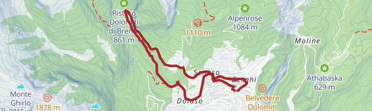
Open route APT Dolomiti di Brenta e PaganellaVal Ambiéz: walking in the Brenta Dolomites
A long day up the Val d'Ambiéz from Baesa above San Lorenzo in Banale to the Cacciatore and Agostini huts, returning the same way.
- 17.7 km
- Distance
- 1 487 m
- Ascent
- 9 h 28 min
- Duration
- 39
- Check-ins
- Rifugio Cacciatore 1 820 m
- Ristoro Dolomiti di Brenta 861 m
- Malga Senaso di Sotto 1 578 m
- Malga Prato di Sotto 1 637 m
- Malghet 1 626 m
- Malga Ben 1 753 m
Open route Garda TrentinoDolomiti di Brenta Bike Explorer - Altopiano della Paganella: il monte Gazza e la Paganella
A hard Brenta Dolomites variant that branches off at Lago di Nembia and climbs the pastures of Monte Gazza onto the Paganella tableland.
- 44.3 km
- Distance
- 3 511 m
- Ascent
- 8 h 36 min
- Duration
- 93
- Check-ins
- Malga Zambana 1 792 m
- Albi de Mez 1 775 m
- Chalet Malga Terlaga 1 817 m
- Chalet Paganella 2 1 752 m
- Molveno Holiday's 868 m
- APT Dolomiti Paganella 1 021 m
- +6
Open route APT Dolomiti di Brenta e PaganellaThe Little Walkers' Trails: "Small huts built against the rocks"
A short family walk from the Nembia pond below Monte Ghez to the houses of Nembia, built against a fallen boulder for shelter and cheap walling.
- 4.3 km
- Distance
- 41 m
- Ascent
- 1 h 6 min
- Duration
- 13
- Check-ins
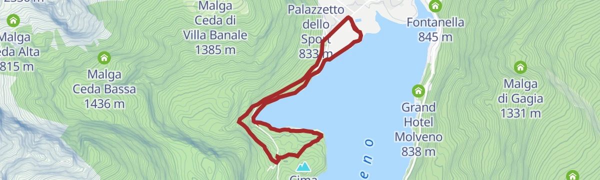
Open route APT Dolomiti di Brenta e PaganellaLake Molveno circuit
A circuit of Lake Molveno, taking in both shores under the walls of the Brenta.
- 10.1 km
- Distance
- 248 m
- Ascent
- 2 h 58 min
- Duration
- 50
- Check-ins
Open route APT Dolomiti di Brenta e PaganellaPrada's gardens
A climb through clearings to the limestone grasslands of Prada, poor stony pasture mown once a year that still carries arnica and gentians.
- 11.1 km
- Distance
- 927 m
- Ascent
- 5 h 55 min
- Duration
- 10
- Check-ins
Open route APT Dolomiti di Brenta e PaganellaTour of the Banale Plateau
A road round over the Sella di Andalo to Molveno and on to the Comano spa and the villages of the Banale plateau.
- 52.4 km
- Distance
- 1 484 m
- Ascent
- 6 h 3 min
- Duration
- 89
- Check-ins
- Fontanella 845 m
- Lago Park Hotel 826 m
- Grand Hotel Molveno 838 m
- Sella di Andalo 1 042 m
- APT Dolomiti Paganella 1 021 m
- Agriturismo Ai Castioni 973 m
- +9
Open route APT Dolomiti di Brenta e PaganellaWalk around Nembia lake
A level circuit of the small lake at Nembia, under the rocks of Monte Ghez in the Adamello Brenta park.
- 2.6 km
- Distance
- 10 m
- Ascent
- 38 min
- Duration
- 13
- Check-ins
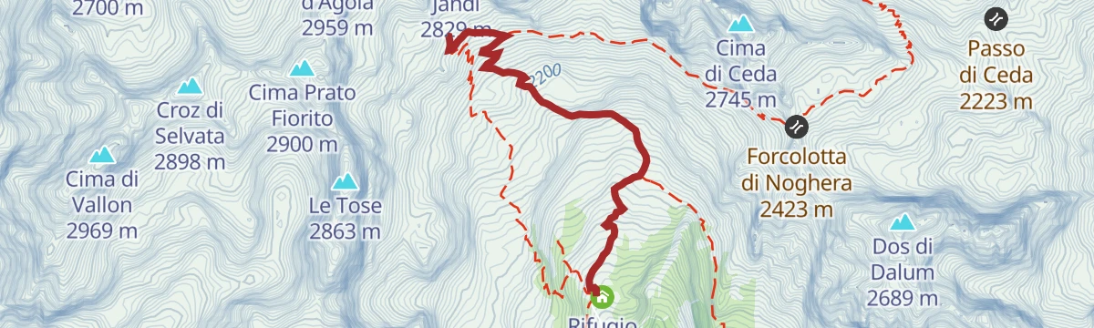
Open route APT Dolomiti di Brenta e PaganellaTrek ring to Rifugio Cacciatore and Rifugio Agostini
A circuit high in the Val d'Ambiez between the Cacciatore and Agostini huts, under the towers of Cima Ambiez, Cima Tosa and the Cime di Ceda.
- 6.5 km
- Distance
- 723 m
- Ascent
- 4 h 22 min
- Duration
- 41
- Check-ins
Open route Garda TrentinoSentiero della Ceda
A steep climb on the Ceda path into the southern Brenta, rising from the valley floor to the notches below the Cime di Ceda.
- 6.0 km
- Distance
- 1 333 m
- Ascent
- 4 h 57 min
- Duration
- 8
- Check-ins
Open route APT Dolomiti di Brenta e PaganellaThe Southern side of Brenta Dolomites
A demanding road loop around the south of the Brenta group, with the Passo Daone the hardest of its climbs before the return to Andalo.
- 90.7 km
- Distance
- 3 054 m
- Ascent
- 10 h 56 min
- Duration
- 81
- Check-ins
- Fontanella 845 m
- Lago Park Hotel 826 m
- Grand Hotel Molveno 838 m
- Sella di Andalo 1 042 m
- APT Dolomiti Paganella 1 021 m
- Passo Daone 1 290 m
- +9
Open route APT Dolomiti di Brenta e PaganellaVertical lifestyles
An easy but long walk in the Adamello Brenta park up the old ladder of settlement, from the village to the midway barns and the high hay farms.
- 6.5 km
- Distance
- 235 m
- Ascent
- 2 h 6 min
- Duration
- 3
- Check-ins
Open route APT Dolomiti di Brenta e PaganellaTrekking to Rifugio Agostini
A climb up the Val d'Ambiez to the Agostini hut, set at the head of the valley beneath the walls of the southern Brenta.
- 3.1 km
- Distance
- 560 m
- Ascent
- 2 h 7 min
- Duration
- 41
- Check-ins
Open route APT Dolomiti di Brenta e PaganellaStenico - Tour
A long loop signed 942 out of Stenico, climbing past the Bosco Arte sculpture park and then rolling through meadow, woodland and farm hamlets back to the village.
- 18.1 km
- Distance
- 494 m
- Ascent
- 5 h 28 min
- Duration
- 1
- Check-ins
Open route Garda TrentinoFrom Paganella to Giudicarie
A long road day from the Andalo plateau into the Giudicarie, with the climb to the Passo Durone as the main effort.
- 74.9 km
- Distance
- 2 360 m
- Ascent
- 8 h 52 min
- Duration
- 80
- Check-ins
- Fontanella 845 m
- Lago Park Hotel 826 m
- Grand Hotel Molveno 838 m
- Sella di Andalo 1 042 m
- APT Dolomiti Paganella 1 021 m
- Bar Ristorante Passo Durone 995 m
- +7
Open route APT Dolomiti di Brenta e PaganellaWalk around the hamlets of San Lorenzo Dorsino
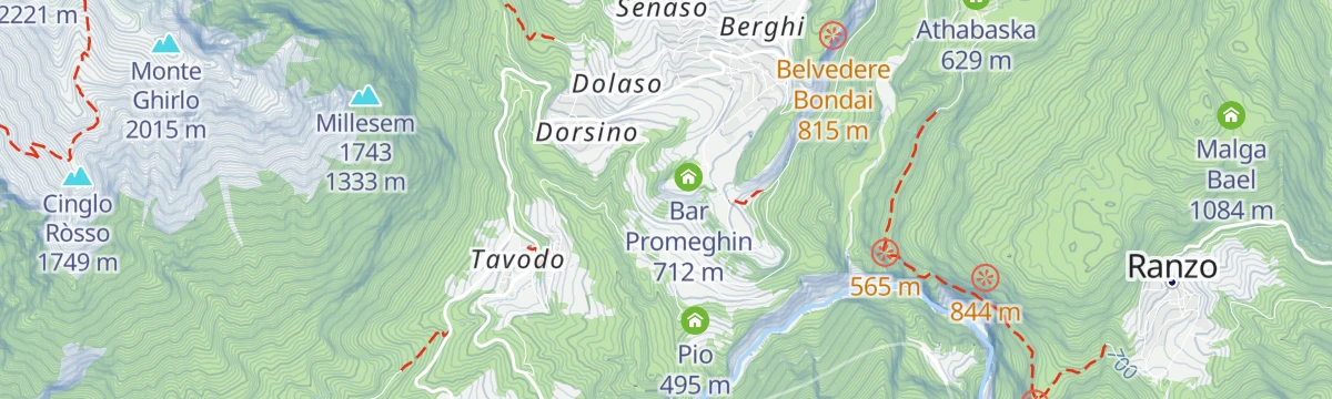
An easy walk linking the stone hamlets of San Lorenzo Dorsino on the shelf above the Sarca valley.
- 3.8 km
- Distance
- 102 m
- Ascent
- 1 h 9 min
- Duration
- 3
- Check-ins
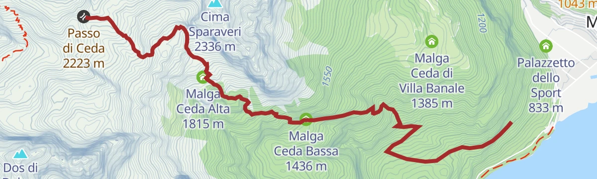
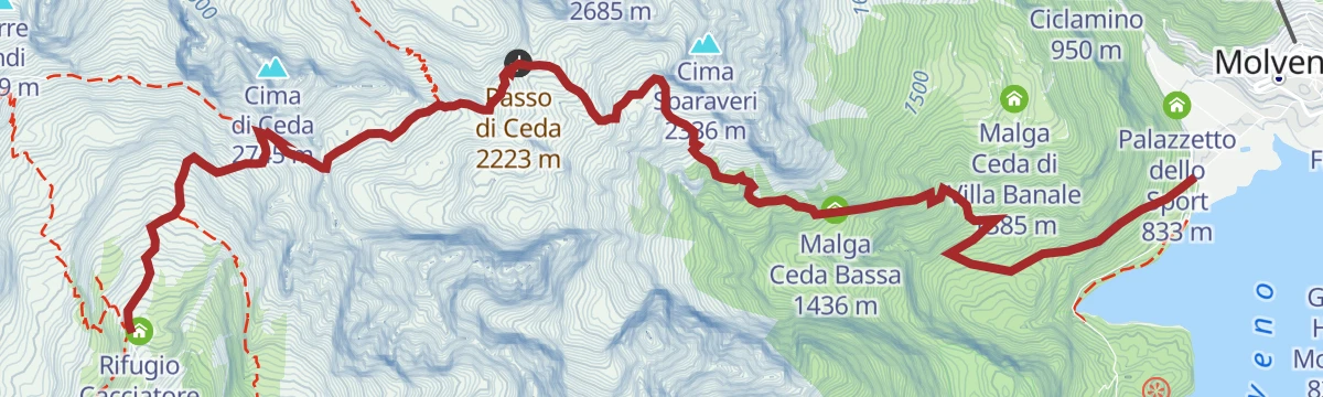
Open route APT Dolomiti di Brenta e PaganellaTrekking from Rifugio Cacciatore to Molveno through Val di Ceda
A crossing from the Cacciatore hut over the Forcolotta di Noghera and down the Val di Ceda to Molveno.
- 11.0 km
- Distance
- 705 m
- Ascent
- 6 h 38 min
- Duration
- 35
- Check-ins
- Passo Forcolotta di Noghera 2 449 m
- Rifugio Cacciatore 1 820 m
- Forcolotta di Noghera 2 423 m
- Passo di Ceda 2 223 m
- Malga Ceda Bassa 1 436 m
- Malga Ceda Alta 1 815 m
Open route APT Dolomiti di Brenta e PaganellaVillages and waterfalls
A very long road tour from Andalo past the lake at Molveno into the Val Genova, where the waterfalls are, and back over the Sella di Andalo.
- 112.2 km
- Distance
- 2 787 m
- Ascent
- 12 h 35 min
- Duration
- 79
- Check-ins
- Fontanella 845 m
- Val Genova information point 905 m
- Lago Park Hotel 826 m
- Grand Hotel Molveno 838 m
- Sella di Andalo 1 042 m
- APT Dolomiti Paganella 1 021 m
- +4
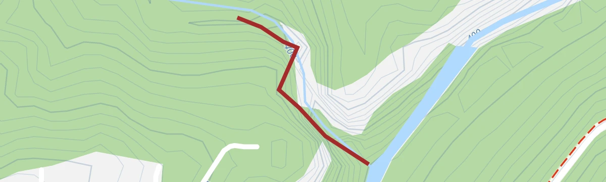
Open route APT Dolomiti di Brenta e PaganellaAffluente Torrente Ambiez P
A level route along a tributary of the Ambiez torrent, following the stream across the valley floor near San Lorenzo Dorsino.
- 4.2 km
- Distance
- 0 m
- Ascent
- 2 h 48 min
- Duration
Prada loop
A loop up to the mown meadows of Prada above San Lorenzo Dorsino, on old tracks between the hay barns.
- 7.8 km
- Distance
- 727 m
- Ascent
- 4 h 31 min
- Duration
- 13
- Check-ins
Open route APT Dolomiti di Brenta e PaganellaBallino - Durone - Stenico
A road circuit from Riva over the Ballino and Durone passes, holding height across to Stenico.
- 87.5 km
- Distance
- 2 198 m
- Ascent
- 9 h 50 min
- Duration
- 71
- Check-ins
- Garda Dolomiti Azienda per il turismo S.p.A. 69 m
- Info Point Riva del Garda 69 m
- Ingarda 603 m
- Bar Ristorante Passo Durone 995 m
- Casa sociale 248 m
- Info Point - Garda Trentino - Arco 90 m
- +7
Open route Garda TrentinoCustodi del Borgo
A walk between the twin knolls of Dòs Beo and Dòs Mani, replanted with conifers in 1940, with four lookouts over the village roofs and the Brenta spires.
- 4.3 km
- Distance
- 180 m
- Ascent
- 1 h 28 min
- Duration
Open route APT Dolomiti di Brenta e PaganellaThe memory of stone
A climb on the cobbled salegada above San Lorenzo Dorsino, its stones grooved by the sledges that brought hay down from the Prada meadows.
- 5.6 km
- Distance
- 457 m
- Ascent
- 2 h 54 min
- Duration
- 10
- Check-ins
Open route APT Dolomiti di Brenta e PaganellaDiscovering one of Italy's most beautiful villages
A road loop over the Sella di Andalo to Molveno and its lake, returning by the Agriturismo Ai Castioni and the Bar Ciao.
- 30.0 km
- Distance
- 817 m
- Ascent
- 3 h 26 min
- Duration
- 64
- Check-ins
- Fontanella 845 m
- Lago Park Hotel 826 m
- Grand Hotel Molveno 838 m
- Sella di Andalo 1 042 m
- APT Dolomiti Paganella 1 021 m
- Agriturismo Ai Castioni 973 m
- +1
Open route APT Dolomiti di Brenta e PaganellaDivieto Torrente Ambiez
A brief streamside stretch along the Torrente Ambiez, which drains the Ambiez cirque of the Brenta towards the Sarca.
- 299 m
- Distance
- 26 m
- Ascent
- 18 min
- Duration
Open route Trentino FishingTorrente Ambiez P
A route along the Ambiez torrent, following the stream down from the Brenta valleys towards the Sarca.
- 9.5 km
- Distance
- 113 m
- Ascent
- 4 h 41 min
- Duration
- 10
- Check-ins
Open route Trentino FishingMolveno - Nembia
A short out-and-back from the lakeside at Molveno down to the small lake at Nembia, a WWF oasis in the Brenta foothills.
- 17.6 km
- Distance
- 373 m
- Ascent
- 1 h 55 min
- Duration
- 49
- Check-ins
Open route APT Dolomiti di Brenta e PaganellaLa Falesia Dimenticata
A short approach to the Falesia Dimenticata, a rediscovered crag near San Lorenzo Dorsino that stays climbable all year.
- 214 m
- Distance
- 0 m
- Ascent
- 9 min
- Duration
Open route APT Dolomiti di Brenta e Paganella943 "Banale Explorer"
A long round through the rural hamlets of San Lorenzo in Banale, counted among the finest villages in Italy, on the terraces above the Sarca.
- 12.1 km
- Distance
- 414 m
- Ascent
- 3 h 52 min
- Duration
- 4
- Check-ins
Open route APT Dolomiti di Brenta e PaganellaTerlago-Banale Gravel Tour
A gravel route from the lake at Terlago to the isolated village of Ranzo, then by track to San Lorenzo in Banale.
- 64.1 km
- Distance
- 1 684 m
- Ascent
- 7 h 16 min
- Duration
- 23
- Check-ins
- Albergo Miralaghi 248 m
- Romitorio del Casale 445 m
- Casina Forestale 659 m
- Troticoltura 252 m
- Athabaska 629 m
- Troticoltura 262 m
- +4
Open route Garda TrentinoPromeghin Crag
A short approach to the Promeghin crag near San Lorenzo Dorsino, a wall with no real match between the Alto Garda and the Paganella.
- 228 m
- Distance
- 50 m
- Ascent
- 17 min
- Duration
Open route APT Dolomiti di Brenta e PaganellaLa Bella Terra
A medium walk through the farmed country around San Lorenzo Dorsino, between hay meadows, hamlets and the woods below the Brenta.
- 10.4 km
- Distance
- 344 m
- Ascent
- 3 h 17 min
- Duration
- 4
- Check-ins
Open route APT Dolomiti di Brenta e PaganellaThe XTERRA World Championship track
A shorter lap of the XTERRA race course at Molveno, from the lakeshore into the woods above.
- 4.8 km
- Distance
- 150 m
- Ascent
- 1 h 30 min
- Duration
Open route APT Dolomiti di Brenta e PaganellaThe many faces of our beautiful homeland
A circuit through the seven hamlets of San Lorenzo in Banale, past dry-stone walls and the ramps at Dorsino built to reach the haylofts from the street.
- 11.4 km
- Distance
- 427 m
- Ascent
- 3 h 44 min
- Duration
- 4
- Check-ins
Open route APT Dolomiti di Brenta e PaganellaTorrente Bondai Z
A short, level route beside the Bondai torrent below San Lorenzo Dorsino, following the water down the valley.
- 3.6 km
- Distance
- 37 m
- Ascent
- 1 h 15 min
- Duration
Open route Trentino Fishing944 "Doss de la Cros"
A round over the Banale upland to the Doss de la Cros, dropping past the old mills of Deggia to the lake at Nembia.
- 11.6 km
- Distance
- 537 m
- Ascent
- 4 h 4 min
- Duration
- 2
- Check-ins
Open route APT Dolomiti di Brenta e Paganella
















No routes of this kind in San Lorenzo Dorsino yet.
The region's own picks

Featured route
DBT Stage 6: Rifugio XII Apostoli - Rifugio S. Agostini
A stage ending at the Rifugio Silvio Agostini in the Val d'Ambiez, a Brenta basin walled by steep dolomite with the Ambiez face above.
Planning a trip to San Lorenzo Dorsino?
Everything else Trentino-Alto Adige/Südtirol has, in one place


Take San Lorenzo Dorsino with you into the mountains
Every route on this page with 3D terrain, GPX navigation and offline maps — including the valleys with no signal.
Data sources
- Official website: visitpaganella.it ↗
- Routes and highlights: APT Dolomiti di Brenta e Paganella, APT Madonna di Campiglio, Pinzolo, Val Rendena, Garda Trentino, Trentino Fishing, Italia.it, Astrotourism, Visit Trentino
- Published as open data by the tourist boards named above.
- Region summary generated from the board's own material.
