




 Summit
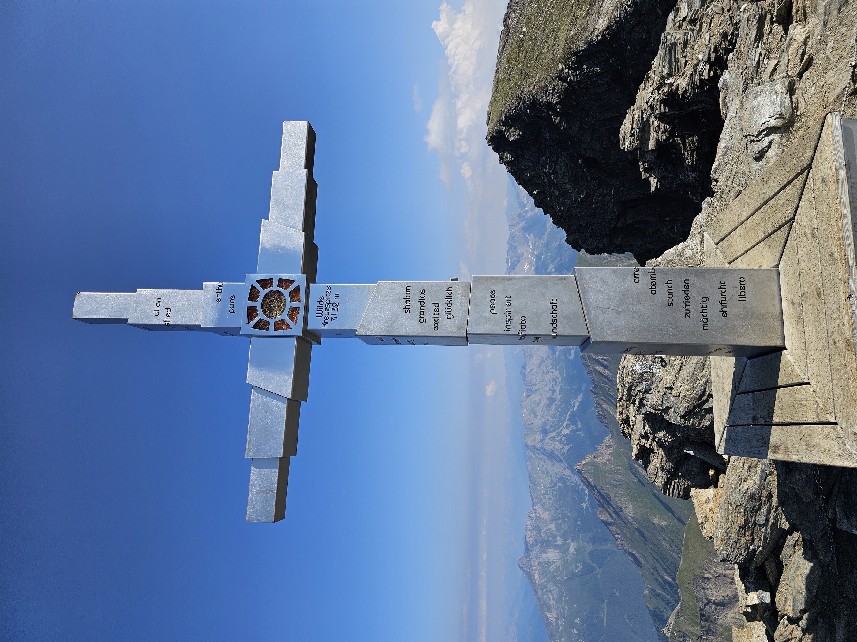
Wilde Kreuzspitze Südgipfel - Picco della Croce Cima Sud
via From the Fane Alm to the Wilde Kreuzspitze Summit
Curated by Gitschberg - Jochtal
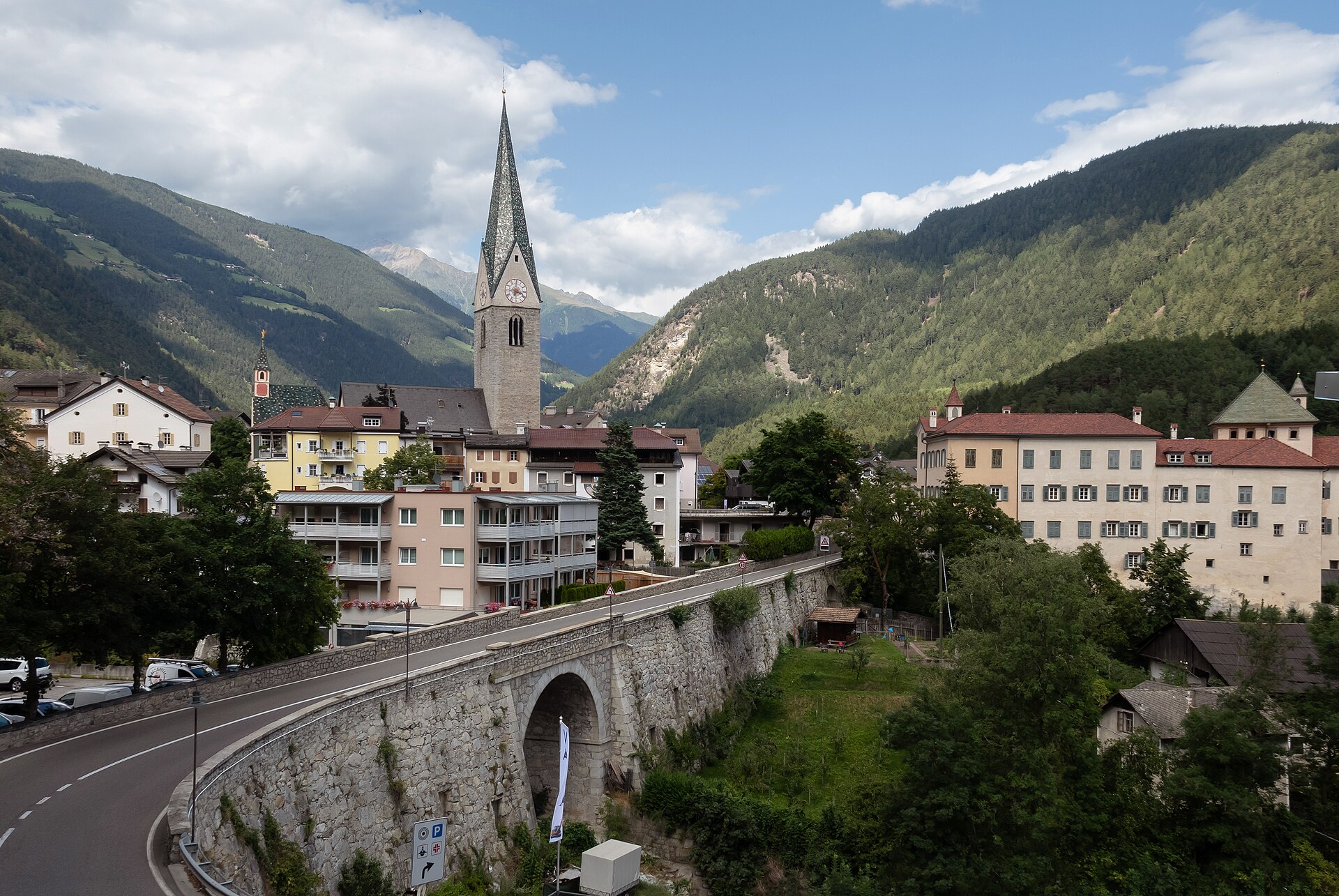
A Pusteria village at the Mühlbacher Klause gorge, at the mouth of the Valles and Vizze valleys below the Gitschberg.
3 from neighbouring places
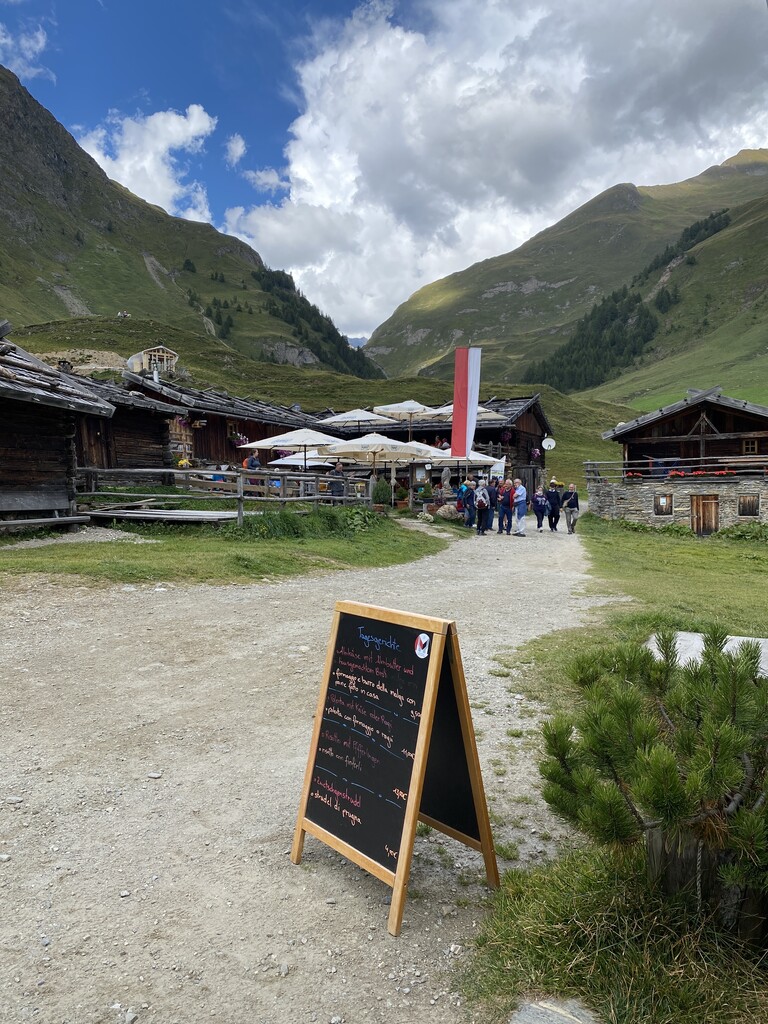
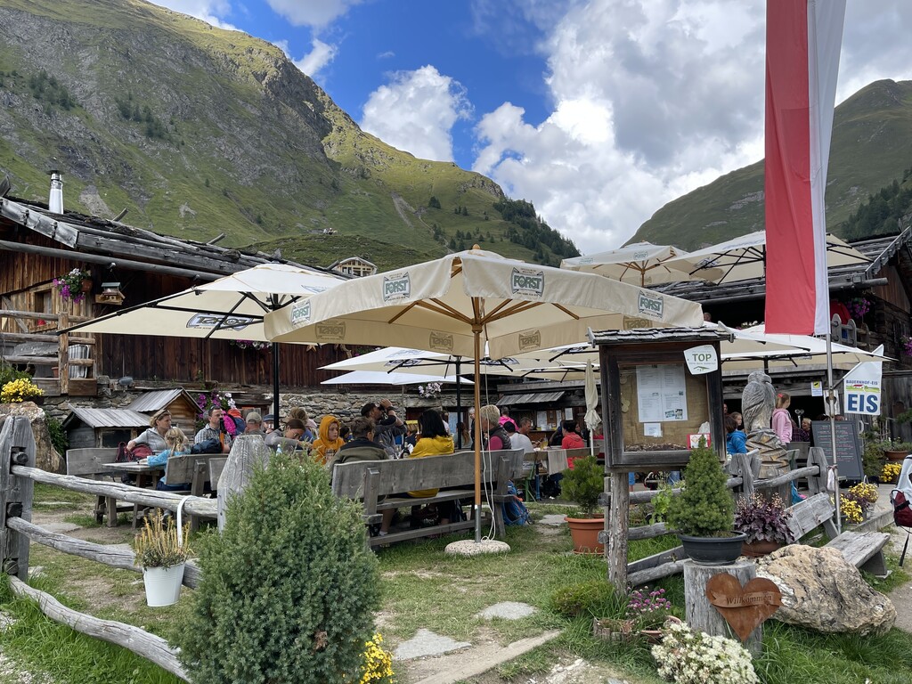
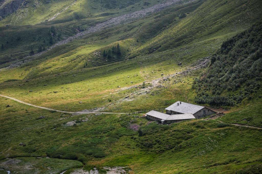
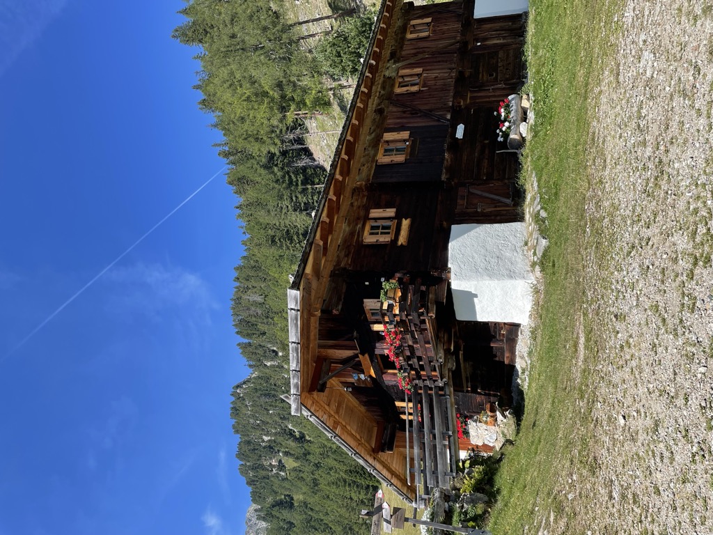
A hamlet of timber dairy huts on the pastures at the head of the Valles valley, above Rio di Pusteria, reached by track from Valles.
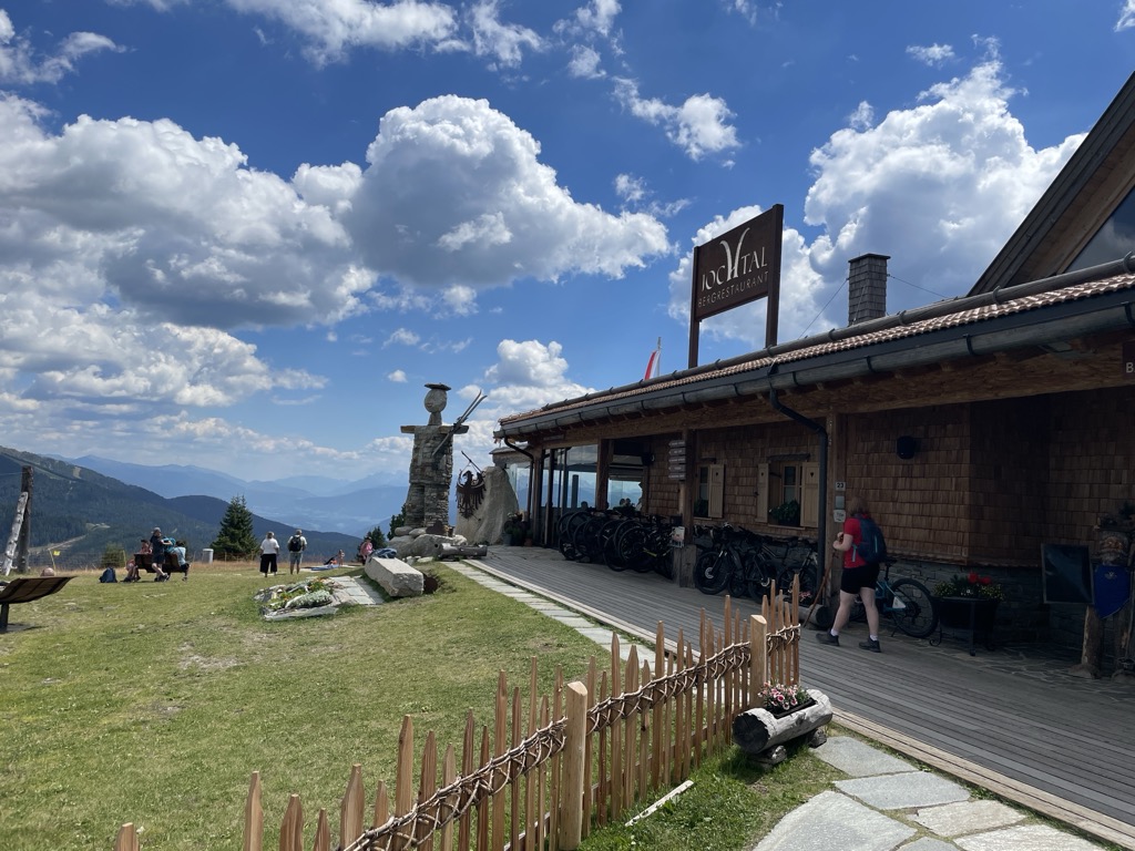
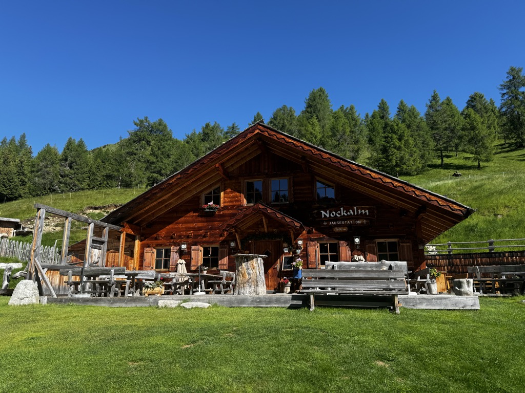
A mountain restaurant at the top of the Jochtal lift above Valles, in the Gitschberg-Jochtal area of the Val Pusteria.
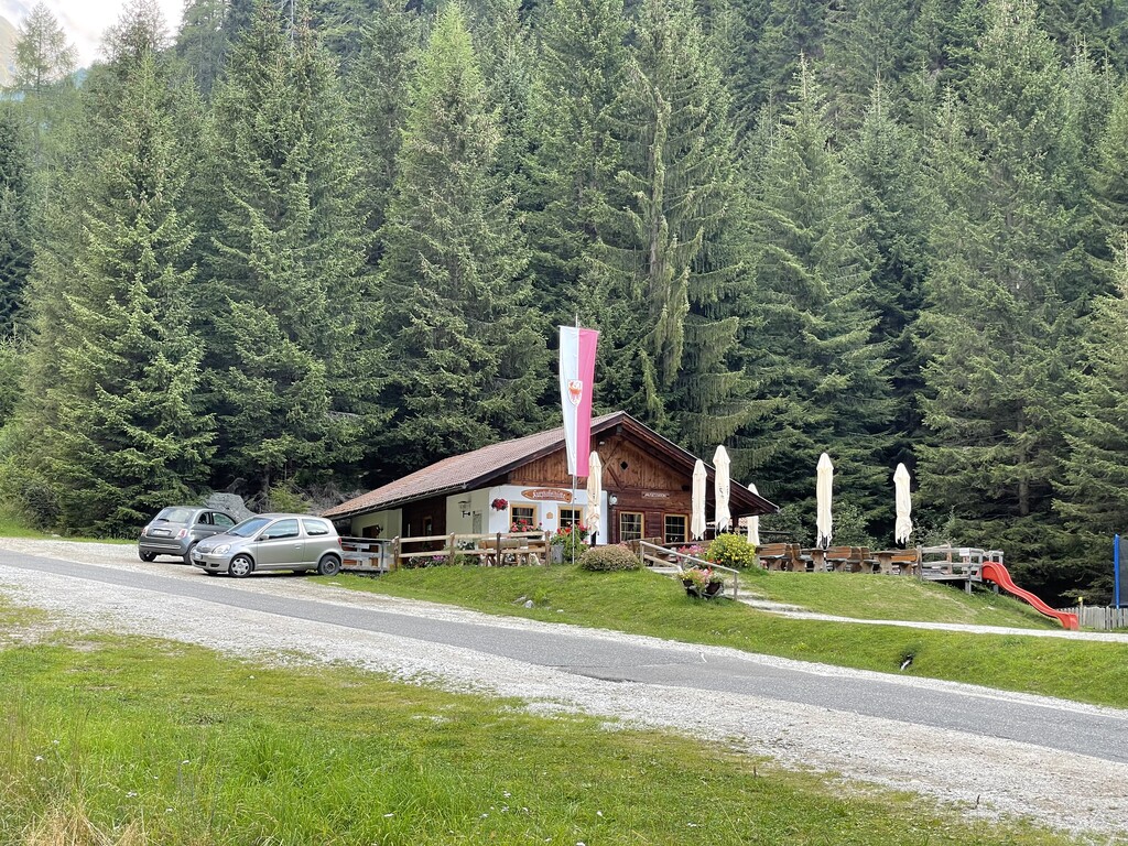
A pasture hut on the slopes above Rio di Pusteria, in the Valle di Valles.
A pasture hut below the Kurzkofel above Rio di Pusteria, in the Pfunderer mountains north of the Val Pusteria.
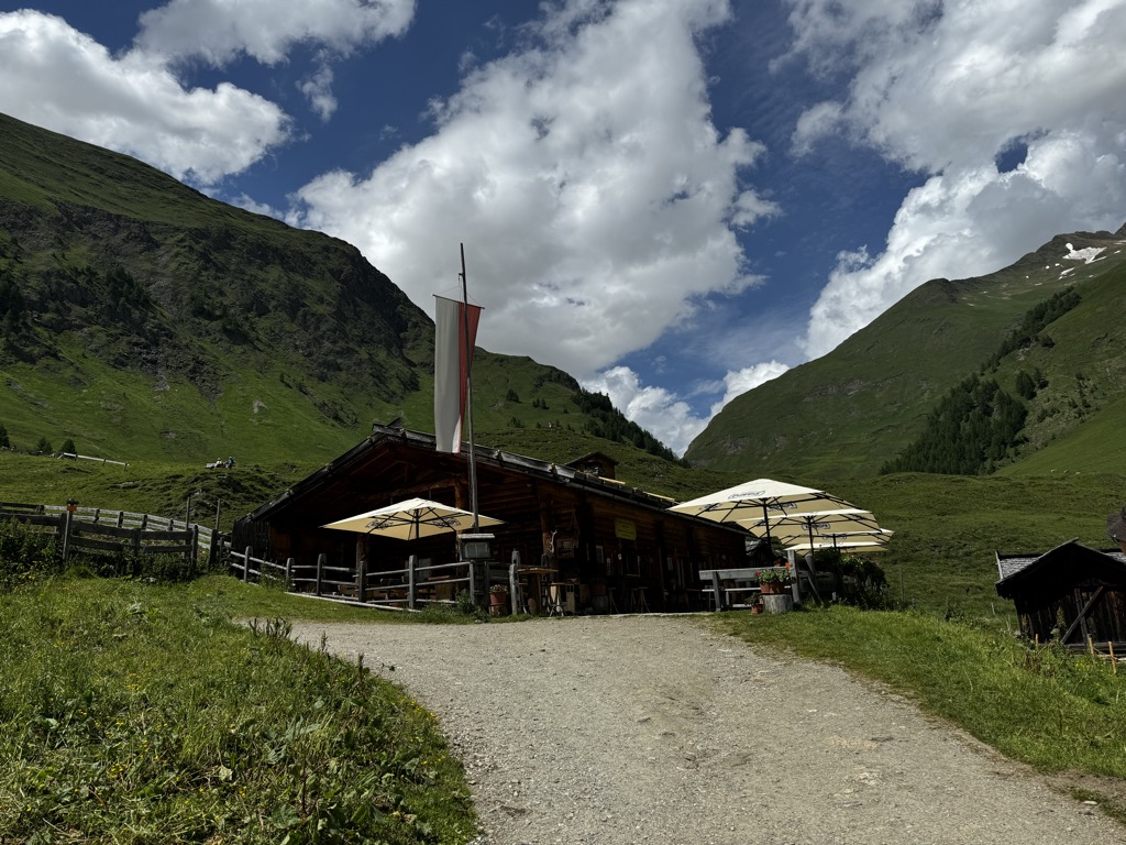
A dairy hut on the open pasture above Rio di Pusteria, on the Valles side of the valley.
A working dairy on the high pastures above Valles, in the comune of Rio di Pusteria.
A pasture hut on the grassy slopes above Rio di Pusteria, reached by forest road from the Valles valley.
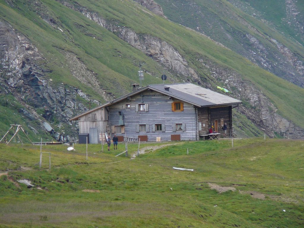
A refuge at the head of the Valles valley below the Cima di Pfunders, reached by the path that climbs past the Malga Fane.
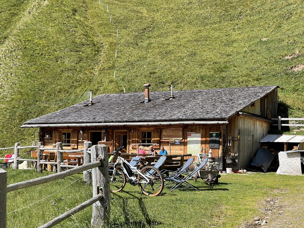
A dairy hut on the Tschiffernaun pastures above Rio di Pusteria, in the mountains north of the Val Pusteria.
A hut on the wooded slopes above Rio di Pusteria, reached on foot from the Valles road.
A pasture hut above Rio di Pusteria, on the walking paths of the Gitschberg-Jochtal side of the Val Pusteria.
4.2 km away, in Vandoies/Vintl
A dairy hut on the pastures above Vandoies, in the Monti di Fundres on the north side of the Val Pusteria.
8.5 km away, in Vandoies/Vintl
A dairy hut on the Weitenberg pastures above Vandoies, reached by forest road from the Val Pusteria.
11.2 km away, in Fortezza/Franzensfeste
A dairy hut by the Lago di Puntleid above Fortezza, reached by the path from Mezzaselva in the Val Isarco.
Nothing of this kind in Rio di Pusteria/Mühlbach.
50 routes, an even mix of activities · see the rest on suedtirol.info ↗
A climb from Vals to the Fane Alm hamlet, with stops explaining South Tyrolean dairy farming.
A high traverse above Vals with several cable-secured sections, dropping in at the Fane Alm huts along the way.
 Kuttnhütte 1 749 m Jausenstation Zingerlehütte 1 744 m Gattererhütte 1 741 m Bergrestaurant Jochtal 2 006 m Kurzkofelhütte 1 427 m
 Valler Jöchl - Passo di Valles 1 932 m
A circuit from the Fane Alm past the Wilde See to the Wilde Kreuzspitze, highest of the Pfunderer Berge; a long day for practised hands.
Wilde Kreuzspitze Südgipfel - Picco della Croce Cima Sud 3 132 m Brixner Hütte - Rifugio Bressanone 2 307 m Kuttnhütte 1 749 m Jausenstation Zingerlehütte 1 744 m Gattererhütte 1 741 m Rauhtaljoch - Passo Val di Nebbia 2 807 mA calm ski tour above Maranza to the Piccolo Monte Cuzzo, off the pistes, looking over the Sarntal Alps to the Dolomites.
A ski tour to the Plattspitz on little-used ground, with wide slopes; the cirque below the top and the summit slope need settled avalanche conditions.
A ride up a quiet side valley above Maranza to the Wieserhütte and Pranter Stadl, with the Asmolalm and Hexenhütte along the way.
A steep climb above Maranza/Meransen to the Gitschhütte and Nesselhütte, with the Breiteben lift station at the high point.
Nesselhütte 2 114 m Gitschhütte 2 209 m Appartment Stocknerhof 1 507 m Bacherhütte 1 728 m Pichlerhütte 1 918 m S'Pfandl 1 401 mA short, flat stretch of the Val Pusteria valley cycle path, leaving Rio di Pusteria at its old gate tower and heading down to Vandoies.
A steady valley climb from Rio di Pusteria up into Valles, ending near the Jochtal cable car and the old mills along the stream.
Alte Mühle 1 379 m Martin's Grilloase 1 372 m Obereggerhof 1 224 m Fink Saugstelle 1 222 m Badwirt-Mühle 1 181 m
The up-valley direction of the Puster valley cycle path, starting at Rio di Pusteria and gaining height gently as far as San Candido.
Baita 1 175 m Mühlbacher Torturm - Porta di Rio Pusteria 734 m Tourist Info Olang 1 046 m Mini Snack 745 m Treff Ried 927 m Touristik Information 764 mA themed walk above Vals on dairy farming, past pastures and huts on the Pfunderer side of the valley.
A climb from Vals through the Fane Alm to the Brixner Hütte at 2,282 m, the usual base for the Wilde See and the Wilde Kreuzspitze.
Brixner Hütte - Rifugio Bressanone 2 307 m Kuttnhütte 1 749 m Jausenstation Zingerlehütte 1 744 m Gattererhütte 1 741 m Kurzkofelhütte 1 427 m Pfann-Alm 2 141 mA long round from the Fane Alm up to the Wilde See tarn and the south summit of the Wilde Kreuzspitze, above 3,000 m.
Wilde Kreuzspitze Südgipfel - Picco della Croce Cima Sud 3 132 m Brixner Hütte - Rifugio Bressanone 2 307 m Kuttnhütte 1 749 m Jausenstation Zingerlehütte 1 744 m Gattererhütte 1 741 m Rauhtaljoch - Passo Val di Nebbia 2 807 mA ski ascent of the Cima Piatta away from the crowds, on varied terrain; the summit slope and the cirque beneath it need stable snow.
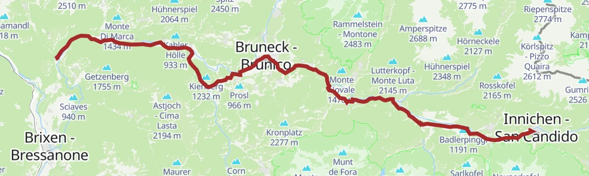
The full length of the Puster valley cycle path, from the gate tower at Rio di Pusteria through Brunico and Valdaora up to San Candido.
Baita 1 175 m Mühlbacher Torturm - Porta di Rio Pusteria 734 m Tourismusverein - Ufficio informazioni turistiche 790 m Tourist Info Olang 1 046 m Mini Snack 745 m Treff Ried 927 mA family walk up the Altfasstal past alpine huts, Kneipp water basins and sunny benches above Meransen.
Schutzhaus Wieserhütte 1 850 m Großberghütte 1 640 m Pranter Stadl 1 839 m Hexenhütte 1 748 m Asmolalm 1 771 mThe direct climb from the Fane Alm to the Brixner Hütte at 2,282 m, with waterfalls beside the path in the Pfunderer Berge.
Brixner Hütte - Rifugio Bressanone 2 307 m Kuttnhütte 1 749 m Jausenstation Zingerlehütte 1 744 m Gattererhütte 1 741 m Pfann-Alm 2 141 mA long ascent from the Fane Alm to the south summit of the Wilde Kreuzspitze, the high point of the Pfunderer Berge.
Wilde Kreuzspitze Südgipfel - Picco della Croce Cima Sud 3 132 m Brixner Hütte - Rifugio Bressanone 2 307 m Kuttnhütte 1 749 m Jausenstation Zingerlehütte 1 744 m Gattererhütte 1 741 m Rauhtaljoch - Passo Val di Nebbia 2 807 mA paved valley route beside the Rienza through Brunico and on to San Candido, easily combined with the Puster valley railway.
Baita 1 175 m Mühlbacher Torturm - Porta di Rio Pusteria 734 m Tourist Info Olang 1 046 m Mini Snack 745 m Treff Ried 927 m Touristik Information 764 mA short family walk at Jochtal with play stations and lookouts spaced along it, below the Stoanamandl.
A circuit of the huts on the Gitschberg, taking in the Moserhütte viewpoint and the carved figures at the Gampen rest area, above the Puster valley.
Kleingitsch - Piccolo Monte Cuzzo 2 262 m Monte Piccolo 2 048 m Nesselhütte 2 114 m Gitschhütte 2 209 m Moserhütte 1 940 m Ochsenboden - Piano dei bovi 2 199 mA demanding ascent past tarns and alpine pasture to the Wilde Kreuzspitze, over 3,000 m, needing a sure foot and no fear of exposure.
Wilde Kreuzspitze Südgipfel - Picco della Croce Cima Sud 3 132 m Brixner Hütte - Rifugio Bressanone 2 307 m Kuttnhütte 1 749 m Jausenstation Zingerlehütte 1 744 m Gattererhütte 1 741 m Rauhtaljoch - Passo Val di Nebbia 2 807 mA long climb from Rio di Pusteria into the Valles valley and on to the Jochtal restaurant and the Stoanamandl viewing platform.
Stoanamandl 2 118 m Bergrestaurant Jochtal 2 006 m Anratterhütte 1 814 m Touristik Information 764 m Linderalm 1 900 m Obereggerhof 1 224 mA short walk up to the Stoanamandl, a cairn-topped viewpoint above the Jochtal with the Puster valley below.
A traverse from the Gitschberg down into the Altfasstal, passing small mountain lakes and pasture huts; some ground asks for a sure foot.
Nesselhütte 2 114 m Schutzhaus Wieserhütte 1 850 m Großberghütte 1 640 m Pranter Stadl 1 839 m Ochsenboden - Piano dei bovi 2 199 m Hexenhütte 1 748 mA long walk from the Fane Alm up to the Wilde See, a tarn held in the high ground of the Pfunderer Berge.
Brixner Hütte - Rifugio Bressanone 2 307 m Kuttnhütte 1 749 m Jausenstation Zingerlehütte 1 744 m Gattererhütte 1 741 m Rauhtaljoch - Passo Val di Nebbia 2 807 m Labesebenhütte 2 138 mA gently descending run along the Pustertal cycle route towards Brixen, passing the old town gate at Mühlbach.
Hotel Putzerhof 769 m Mühlbacher Torturm - Porta di Rio Pusteria 734 m Hotel Sonneck 782 m Tourismusverein - Ufficio informazioni turistiche 790 m Mini Snack 745 m Treff Ried 927 mA very short walk at the Gitschberg sun park, with play equipment for children and open views of the surrounding peaks.
A tour over two summits above Meransen, the Gitsch and the Fallmetzer, passing quiet pasture huts between them.
Gitsch 2 510 m Fallmetzer 2 568 m Nesselhütte 2 114 m Gitschhütte 2 209 m Ochsenboden - Piano dei bovi 2 199 m Zasslerhütte 2 064 mA climb through gorge ground and past pasture huts to the Wurmaulspitze, a long ascent for practised walkers.
Wurmaulspitze - Cima Valmala 3 022 m Brixner Hütte - Rifugio Bressanone 2 307 m Kuttnhütte 1 749 m Jausenstation Zingerlehütte 1 744 m Gattererhütte 1 741 m Pfann-Alm 2 141 mA leg of the Puster valley cycle path heading west from Brunico past Rio di Pusteria to the fortress at Fortezza.
Hotel Putzerhof 769 m Mühlbacher Torturm - Porta di Rio Pusteria 734 m Hotel Sonneck 782 m Mini Snack 745 m Touristik Information 764 m Informationsbüro St. Lorenzen 818 mA loop from the Mühlbach station along the cycle path past the gorge, over a bridge on the Rienz and back on the shaded forest trail.
A walk on the pastures above Maranza with Kneipp water basins set along the way.
Schutzhaus Wieserhütte 1 850 m Großberghütte 1 640 m Pranter Stadl 1 839 m Hexenhütte 1 748 m Asmolalm 1 771 mA demanding ascent of the Cima di Campolago through varied ground, passing three alpine tarns on the way to a wide summit view.
Seefeldspitz - Cima di Campolago 2 719 m Schutzhaus Wieserhütte 1 850 m Großberghütte 1 640 m Pranter Stadl 1 839 m Hexenhütte 1 748 m Asmolalm 1 771 mA long valley ride from Niederrasen down through Bruneck and St. Lorenzen, finishing at the old Mühlbacher Torturm gate.
Mühlbacher Torturm - Porta di Rio Pusteria 734 m Mini Snack 745 m Treff Ried 927 m Touristik Information 764 m Informationsbüro St. Lorenzen 818 m Gisser Werk 776 mAn easy walk on gentle paths through the countryside around Mühlbach, with little height to gain.
A panoramic loop from Jochtal above Vals out to the Stoanamandl and back along the ridge.
A ski-touring track to the Gitsch through quiet forest and along the Altfasstal, ending with a view over the Pfunders valley.
A relaxed loop around Vals with easy views, a few points of interest and a look at village life.
A circuit out of the Mauls valley crossing the Valler Jöchl to the Jochtal pastures, passing the stone men on the ridge with the Isarco valley below.
Bergrestaurant Jochtal 2 006 m Nockalm 1 812 m Valler Jöchl - Passo di Valles 1 932 m Anratterhütte 1 814 m Linderalm 1 900 mA big day from Niederflans past the Simile Mahd hut, then along the Pfunderer Höhenweg across the Sengesjöchl and the Karjöchl above the Wilder See to the 3,133 m summit.
Wilde Kreuzspitze Südgipfel - Picco della Croce Cima Sud 3 132 m Karjöchl 2 917 m Sengesjöchl - Giogo di Senges 2 660 m Untersenges 1 580 m Kaserplatz 1 990 m Obere Sengesalm 1 670 mA short walk through the market town of Mühlbach, laid out to tell 750 years of its history.
The Dynafit line up the Jochtal to the mountain station, walked in summer and used as a marked ski-touring track in winter.
Bergrestaurant Jochtal 2 006 m Nockalm 1 812 m Valler Jöchl - Passo di Valles 1 932 m Alte Mühle 1 379 m Martin's Grilloase 1 372 mFrom the hamlet of Fussendrass, trail 17 up the Drossberg valley and an old military road to the Sandjoch at 2,651 m, then across pasture to the Brixner Huette.
A running loop at Meransen on the shelf between the Puster and Eisack valleys, with both in view.
A circuit of the Altfasstal from Meransen, up one side of the valley past the pasture huts and back down the other.
A ring walk on the Gaisjoch, the chamois mountain above Vals, taking in the crest with a hut stop on the way.
A short circuit through Spinges with twelve stations on its battle, its people and its faith, past old houses and trench remains.
A marked ski-touring track up the Jochtal, a steady climb with quiet stretches through the forest.
A long approach from Niederflans past the Simile Mahd hut and over the Sengesjoch, then down to the Wilder See at 2,533 m.
Rauhtaljoch - Passo Val di Nebbia 2 807 m Sengesjöchl - Giogo di Senges 2 660 m Untersenges 1 580 m Kaserplatz 1 990 m Obere Sengesalm 1 670 mNo routes of this kind in Rio di Pusteria/Mühlbach yet.
Summit
via From the Fane Alm to the Wilde Kreuzspitze Summit

Featured route
A climb from Vals to the Fane Alm hamlet, with stops explaining South Tyrolean dairy farming.
Everything else Trentino-Alto Adige/Südtirol has, in one place
Every route on this page with 3D terrain, GPX navigation and offline maps — including the valleys with no signal.


