
Curated by Nationalpark
Rauris
The Raurisertal reaching deep into the Hohe Tauern, from the market at about 950 m up past Bucheben to the old gold-mining ground at the valley head.
Photo: de:Benutzer:Antonpirker
- 6Highlights
- 4Routes
Highlights
9 from neighbouring places
9 Tipps für die Ferienregion Nationalpark Hohe Tauern
A SalzburgerLand article listing nine excursion ideas for the Hohe Tauern National Park region around Rauris.
Nationalparktaxi Seidlwinkltal Rauris
A shuttle taxi into the Seidlwinkltal, the Rauris side valley used to reach walks in the Hohe Tauern National Park.
Goldene Aussichten
A Hohe Tauern National Park viewpoint offer in the Rauris valley, whose name plays on the valley's gold-mining past.
NP-Ausstellung "Im Facettenreich" Rauris
A Hohe Tauern National Park exhibition in the upper Rauris valley, on the geology and crystals of the range.
Rodelbahn Kreuzboden Rauris
A toboggan run at Kreuzboden near Rauris, sledged in winter in the Raurisertal of the Pinzgau.
Zauberhaftes Wintererlebnis Rauris
A guided winter programme in the Rauris valley, run under the Hohe Tauern National Park partner scheme.
Wild & Erlebnispark Fusch/Ferleiten
10.5 km away, in Fusch an der Großglocknerstraße
A wildlife park at Ferleiten above Fusch, beside the toll gate of the Großglockner High Alpine Road, with native alpine animals.
Nationalpark-Ausstellung Leben unter Wasser
10.6 km away, in Fusch an der Großglocknerstraße
A Hohe Tauern National Park exhibition at Fusch an der Glocknerstraße on life in mountain streams and lakes.
Wild- & Erlebnispark Ferleiten
10.6 km away, in Fusch an der Großglocknerstraße
A game park at Ferleiten near Fusch, at the toll gate of the Grossglockner High Alpine Road, with alpine animals and a play area.
Skigroßraum Gasteinertal (Ski amadé)
11.2 km away, in Bad Hofgastein
The linked ski areas of the Gastein valley within Ski amadé, served by the Gasteiner Bergbahnen lifts from Dorfgastein up to Sportgastein.
Alpentherme Gastein
11.8 km away, in Bad Hofgastein
A large thermal bath complex in Bad Hofgastein, fed by the radon-bearing hot springs of the Gastein valley.
Großglockner Hochalpenstraße
12.7 km away, in Fusch an der Großglocknerstraße
Austria's high alpine road, opened in 1935, climbing from Fusch over the Hochtor at 2,504 m toward the Großglockner, the country's highest peak.
Erlebniswelt HOLZ
12.9 km away, in Fusch an der Großglocknerstraße
A visitor site about timber at the Mühlauer sawmill in Fusch an der Glocknerstraße, in the Hohe Tauern National Park region.
Gasteiner Museum
14.3 km away, in Bad Gastein
A local museum in Bad Gastein on the history of the spa town, its healing springs and its 19th-century visitors.
Felsentherme Bad Gastein
14.3 km away, in Bad Gastein
A thermal bath built into the rock face at Bad Gastein, fed by the valley's hot springs and with pools inside and out.
 Viewpoint
 Cable car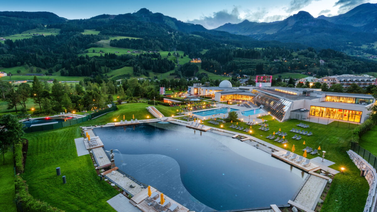
 Historic site
 Nothing of this kind in Rauris.
Routes
All 4 from neighbouring places
Großglockner Hochalpenstrasse
13.6 km away, in Fusch an der Großglocknerstraße
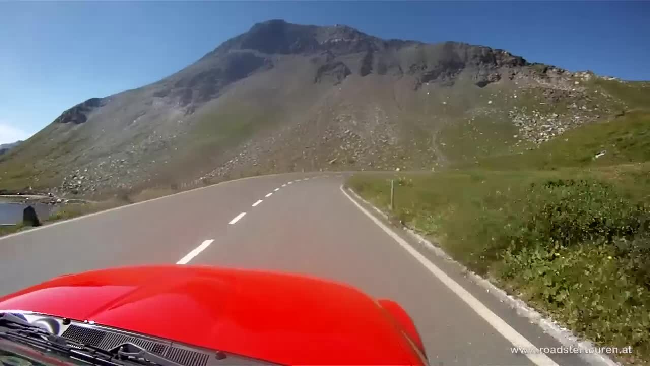
A road climb from Fusch past Ferleiten and the Gasthof Piffkar up to the Fuscher Törl at 2,402 m, with the Törlkopf just above.
- 70.3 km
- Distance
- 1 877 m
- Ascent
- 8 h
- Duration
- 93
- Check-ins
 Törlkopf 2 455 m
 Restaurant Fuschertörl 2 410 m
 Fuscher Törl 2 402 m
- Wilfried-Haslauer-Haus 2 268 m
- Gasthof Piffkar 1 632 m
 Tagesspeicher Ferleiten 1 132 m
- +2
Salzburger Almenweg - Etappe 10: Bad Gastein - Hüttschlag
14.2 km away, in Bad Gastein
Stage ten crosses from Bad Gastein over the Poserhöhe and the Tofernscharte into the Großarltal, dropping past the Tofernalm huts to Hüttschlag.
- 16.9 km
- Distance
- 1 111 m
- Ascent
- 7 h 43 min
- Duration
- 21
- Check-ins
Ciclovia Alpe-Adria Radweg 3. Etappe: Bad Gastein/ Mallnitz- Spittal an. d. Drau
14.5 km away, in Bad Gastein
A long, gently falling valley run from Böckstein through Mallnitz and down the Möll, past Möllbrücke and Sachsenburg to Spittal an der Drau.
- 58.6 km
- Distance
- 343 m
- Ascent
- 5 h 42 min
- Duration
Hohe Tauern Bike Trail | ET06 Fusch | Ponyhofalm | Kaprunertal | Kaprun
15 km away, in Fusch an der Großglocknerstraße
A stage from Fusch over the Brucker Berg into the Kapruner Tal, past the Sigmund-Thun-Klamm and the Klammsee to the Kesselfall Alpenhaus.
- 36.6 km
- Distance
- 1 184 m
- Ascent
- 4 h 22 min
- Duration
- 60
- Check-ins


No routes of this kind in Rauris yet.
Planning a trip to Rauris?
Everything else Salzburg (state) has, in one place


Take Rauris with you into the mountains
Every route on this page with 3D terrain, GPX navigation and offline maps — including the valleys with no signal.
Data sources
- Official website: nationalpark.at ↗
- Routes and highlights: Nationalpark, Salzburgerland, Großarltal Tourismus, Zell am See-Kaprun Tourismus, Kitzbühel Tourismus, Villach Tourismus
- Published as open data by the tourist boards named above.
- Region summary generated from the board's own material.
