














Curated by Tourismusgenossenschaft Antholzertal
Rasun-Anterselva/Rasen-Antholz
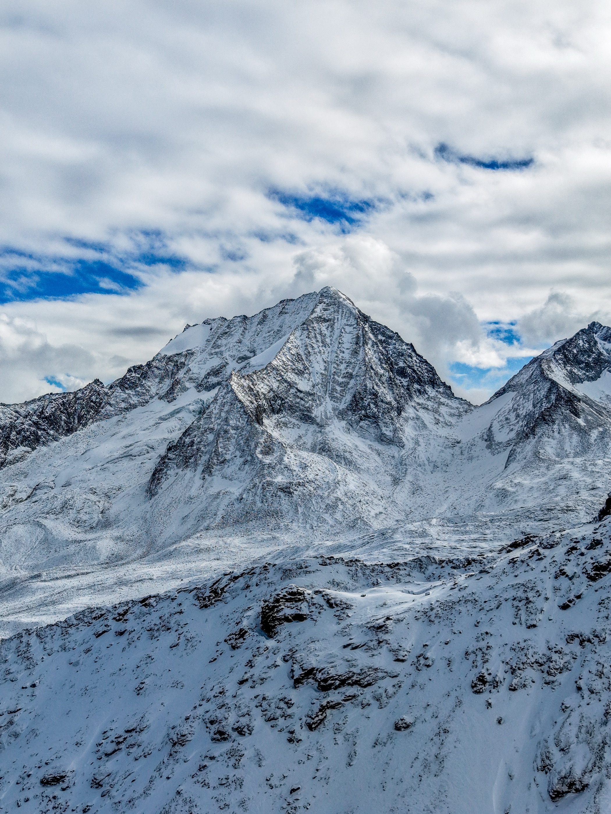
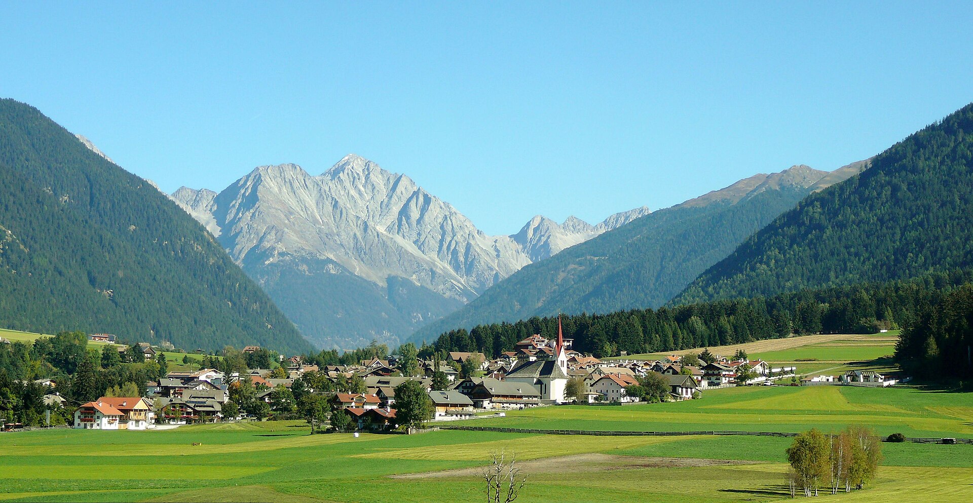
Two Pusteria side valleys climbing to the Stalle pass and the Anterselva lake, below the Collalto in the Rieserferner park.
Photo: Llorenzi · CC BY-SA 3.0 licence
- 5Highlights
- 106Routes
- Featured summit · Hochgall - Monte Collalto
Highlights
5 from neighbouring places
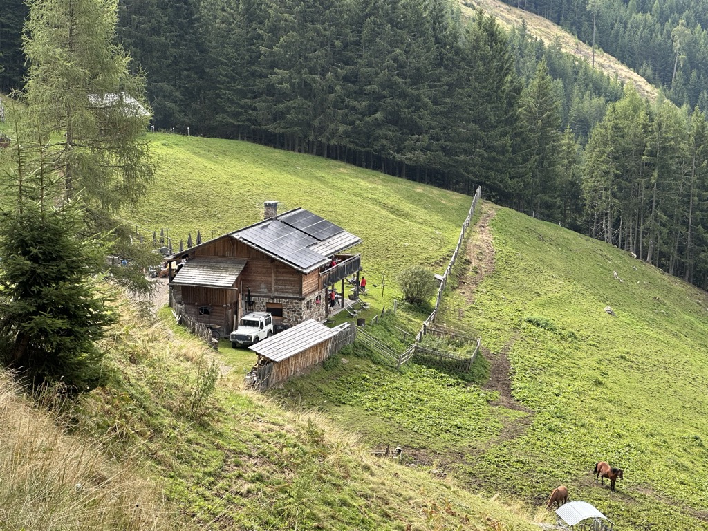
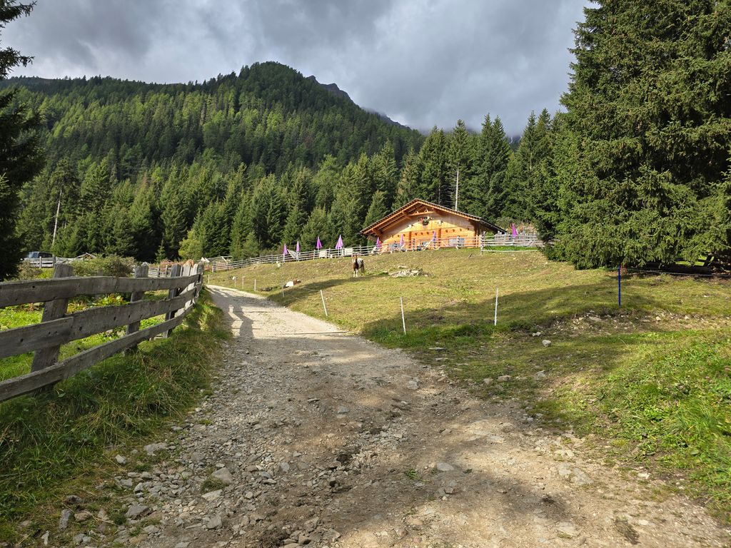
Hochrautalm 1643 m
A dairy hut at 1,643 m on the pastures above Rasun, at the mouth of the Anterselva valley.
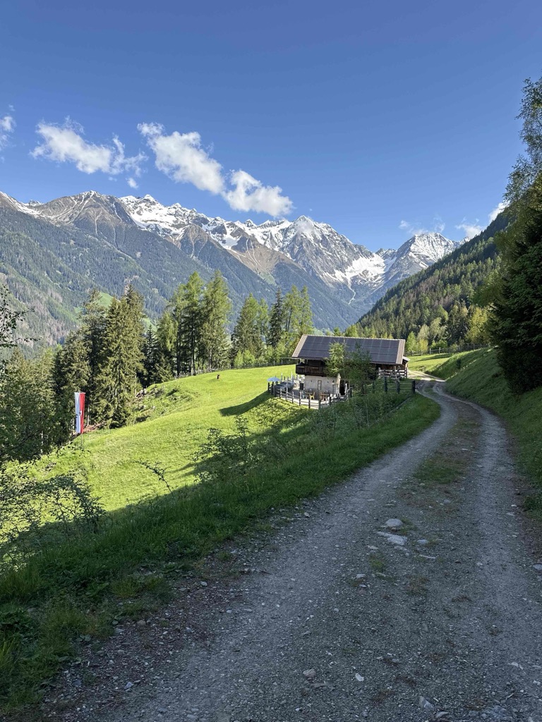
Sterzing, Pfitsch und FreienfeldMalga Hochraut 1.643m
A pasture hut at 1,643 m above Rasun, reached by forest road from the valley, with the Vedrette di Ries to the north.
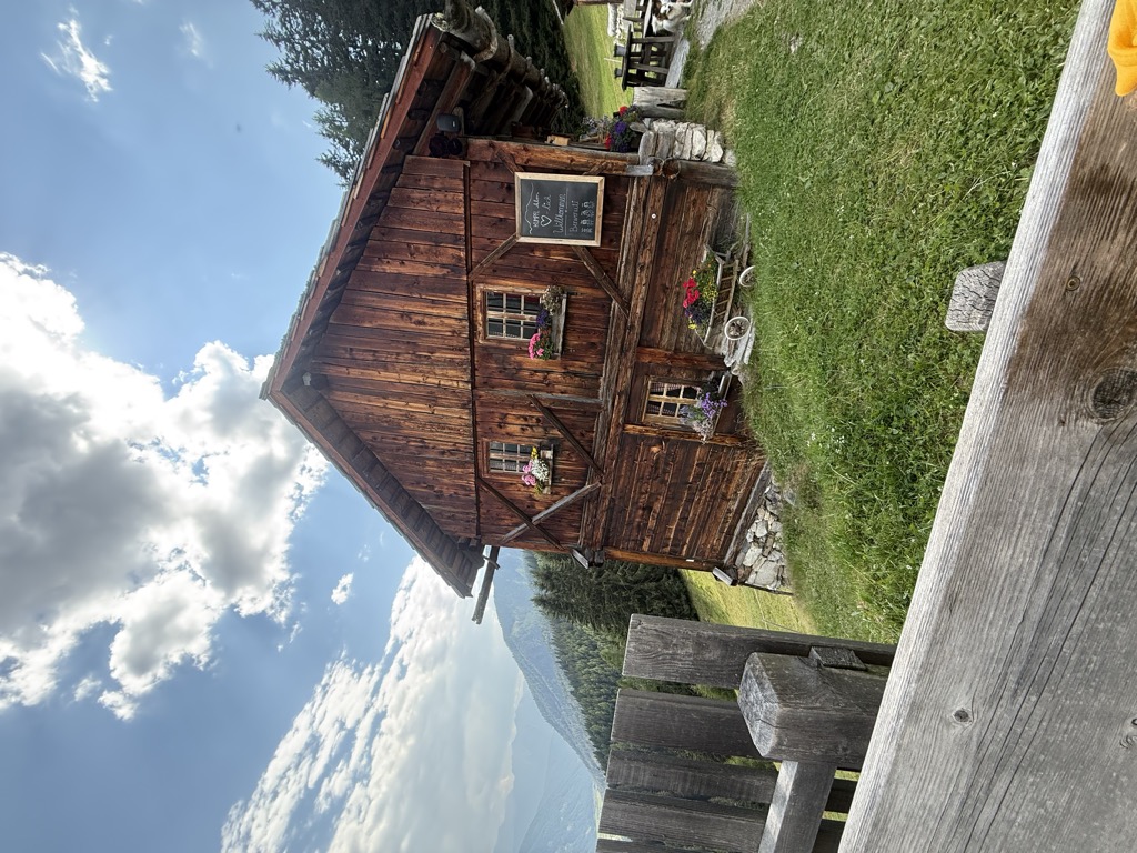
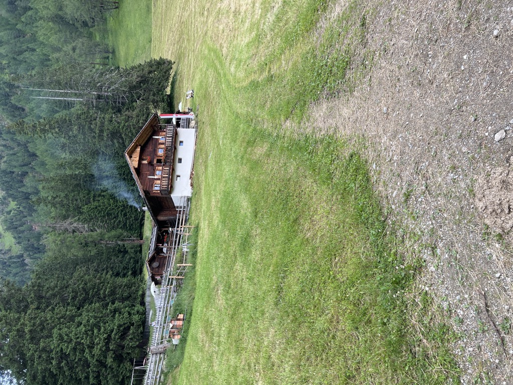
Malga Hofstatt 1.300m
A dairy hut at 1,300 m in the woods above Rasun, a short walk from the road up the Anterselva valley.
Malga Kumpfl
A pasture hut above Rasun, on the walking paths between the Anterselva valley and the Plan de Corones side.
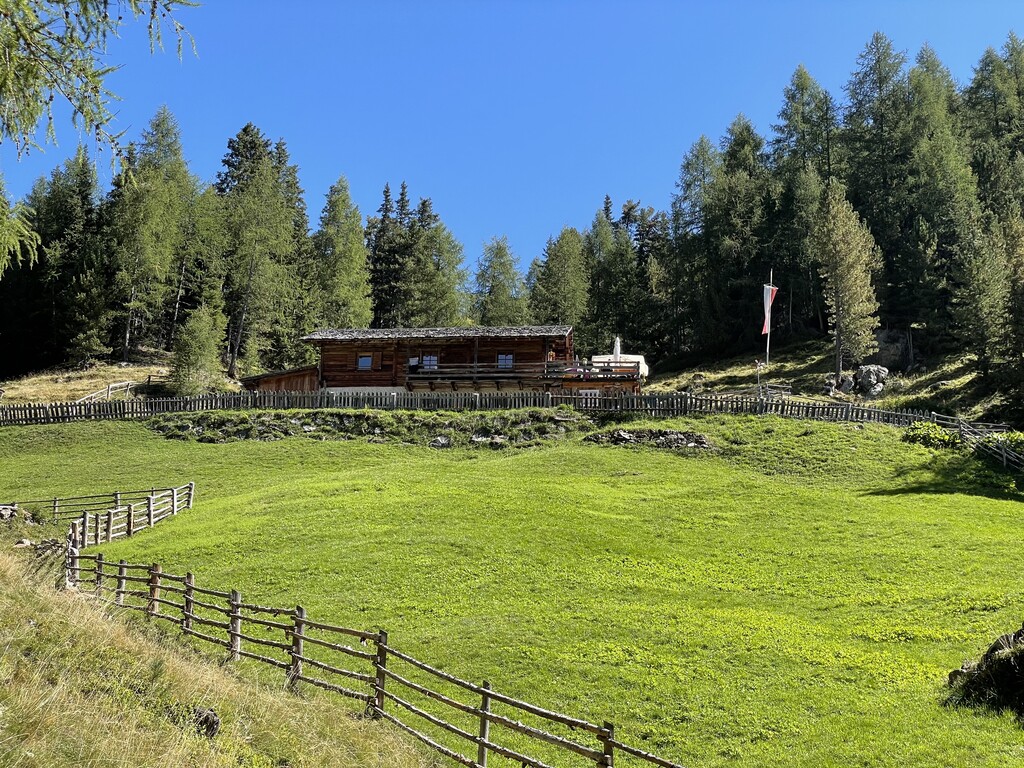
Malga Steinzger 1.894m
A dairy hut at 1,894 m on the open pastures above Anterselva, reached by track from the valley floor.
Sterzing, Pfitsch und FreienfeldMessnerhütte 1660 m
10.8 km away, in Valle di Casies/Gsies
A hut at 1,660 m on the wooded slopes above the Valle di Casies, in the upper Val Pusteria.
Kradorfer Alm 1704 m
11 km away, in Valle di Casies/Gsies
A dairy hut at 1,704 m on the pastures of the Valle di Casies, reached by forest road from the valley floor.
Sterzing, Pfitsch und FreienfeldOberbergalm 1975 m
11.6 km away, in Valle di Casies/Gsies
A dairy hut at 1,975 m on the open pastures of the Valle di Casies, below the ridge that carries the border with Austria.
Kaser Alm 2076 m
12.3 km away, in Valle di Casies/Gsies
A dairy hut at 2,076 m on the pastures above the Valle di Casies, at the head of a side valley of the upper Val Pusteria.
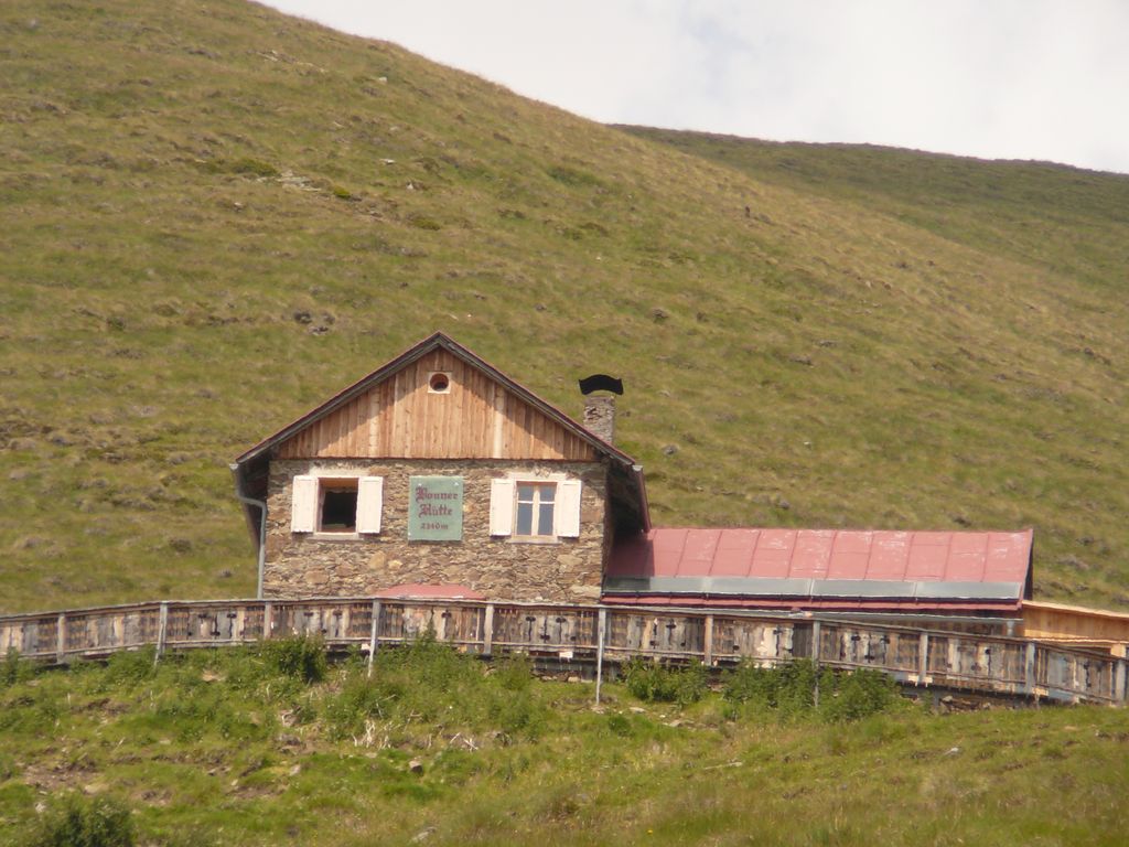
Sterzing, Pfitsch und FreienfeldRifugio alpino Bonnerhütte 2340 m
14 km away, in Dobbiaco/Toblach
A hut at 2,340 m walked up from Dobbiaco or the Val Casies, with overnight beds, a stube, a sun terrace and sunrise over the Pfannhorn.
Nothing of this kind in Rasun-Anterselva/Rasen-Antholz.
Routes
50 routes, an even mix of activities · see the rest on suedtirol.info ↗
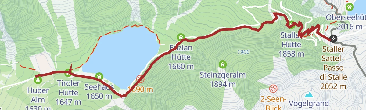
Hike to Steinzger Alm
A varied walk in the upper Anterselva valley from the lake up to the Steinzger dairy.
- 6.1 km
- Distance
- 278 m
- Ascent
- 2 h 7 min
- Duration
- 128
- Check-ins
 Seerestaurant 1 649 m
- Tiroler Hütte 1 647 m
- Huber Alm 1 630 m
- Steinzgeralm 1 894 m
- Enzian Hütte 1 660 m
- Seehaus 1 650 m
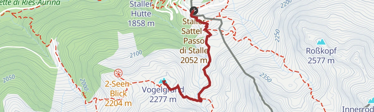
Open route Tourismusgenossenschaft AntholzertalPanoramic circular hike via Steinzger Alm hut and Vogelgrand to Staller Saddle
A loop from Lake Antholz by the Steinzger Alm to the Two Lakes View, which shows Antholz and the Obersee at once, over Vogelgrand and down to the Staller Saddle.
- 11.6 km
- Distance
- 681 m
- Ascent
- 4 h 45 min
- Duration
- 191
- Check-ins
 Vogelgrand 2 277 m
- Seerestaurant 1 649 m
- Tiroler Hütte 1 647 m
 Staller Sattel - Passo di Stalle 2 052 m
- Huber Alm 1 630 m
- Altes Zollhaus 2 052 m
- +5
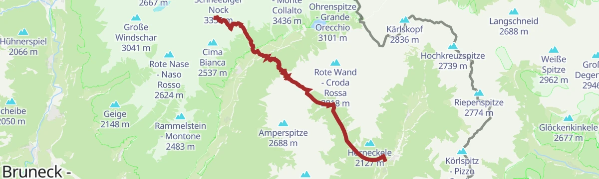
Open route Tourismusgenossenschaft AntholzertalAlpine traverse from Lake Antholz via Rotwand peak and Höllensteinspitze peak to Grüblscharte
A demanding ridge traverse from Lake Antholz over the Rotwand and the Höllensteinspitze to the Grüblscharte, part of the 11-Summit Tour, ending in Antholz Obertal.
- 19.0 km
- Distance
- 1 330 m
- Ascent
- 9 h 26 min
- Duration
- 151
- Check-ins
- Rote Wand - Croda Rossa 2 818 m
- Höllsteinspitz - Pietraforata 2 764 m
- Seerestaurant 1 649 m
- Tiroler Hütte 1 647 m
- Staller Sattel - Passo di Stalle 2 052 m
- Altes Zollhaus 2 052 m
- +7
Open route Tourismusgenossenschaft AntholzertalSci alpinismo per il Passo Stalle
A ski tour on the road from the biathlon centre past the Rifugio Cenziana and up the snowbound road to the Passo Stalle on the Austrian border.
- 6.6 km
- Distance
- 414 m
- Ascent
- 0 m
- Descent
- 2 h 3 min
- Duration
- 164
- Check-ins
- Seerestaurant 1 649 m
- Tiroler Hütte 1 647 m
- Staller Sattel - Passo di Stalle 2 052 m
- Huber Alm 1 630 m
- Altes Zollhaus 2 052 m
- Enzian Hütte 1 660 m
- +2
Open route Sterzing, Pfitsch und FreienfeldSci alpinismo per la Croda Rossa
A ski tour from Lago di Anterselva by the two Steinzger dairies to the Croda Rossa; breaking trail after fresh snow lengthens it considerably.
- 10.2 km
- Distance
- 1 240 m
- Ascent
- 75 m
- Descent
- 3 h 56 min
- Duration
- 85
- Check-ins
- Vogelgrand 2 277 m
- Rote Wand - Croda Rossa 2 818 m
- Seerestaurant 1 649 m
- Steinzgeralm 1 894 m
- Enzian Hütte 1 660 m
- Obere Steinzgeralm 2 074 m
Open route Sterzing, Pfitsch und FreienfeldMountainbike Area Antholz Niedertal
A small riding area behind the fish pond at Anterselva di Sotto, with three downhill tracks of varying difficulty and a children's pumptrack.
- 1.9 km
- Distance
- 56 m
- Ascent
- 13 min
- Duration
Open route Tourismusgenossenschaft AntholzertalBike Tour to the Furkelpass
A climb from Niederrasen through Mühlbach and Gassl to the cable-car base, then up gravel and the paved Furkelstraße to the pass at 1,789 m.
- 14.2 km
- Distance
- 817 m
- Ascent
- 1 h 46 min
- Duration
- 31
- Check-ins
- Ju de Furćia - Furkelpass - Passo Furcia 1 789 m
- Marchner Hütte 1 551 m
- Mittermühlbacherhof 1 107 m
- Berggasthof Trattes 1 545 m
- Tourismusverein Rasen 1 041 m
Open route Tourismusgenossenschaft AntholzertalBike tour to the Defereggen Valley (Austria)
A cross-border ride up the Antholzertal to the lake, over the Staller Sattel at 2,052 m and down the far side into Austria's Defereggental.
- 38.7 km
- Distance
- 1 034 m
- Ascent
- 4 h 17 min
- Duration
- 185
- Check-ins
- Seerestaurant 1 649 m
- Tiroler Hütte 1 647 m
- Staller Sattel - Passo di Stalle 2 052 m
- Huber Alm 1 630 m
- Altes Zollhaus 2 052 m
- Enzian Hütte 1 660 m
- +8
Open route Tourismusgenossenschaft AntholzertalLake Antholz circular trail
An easy, nearly level lap of the emerald water of Lake Antholz in the Rieserferner group, with boards on its plants, animals and how the lake was formed.
- 3.4 km
- Distance
- 53 m
- Ascent
- 56 min
- Duration
- 79
- Check-ins
Open route Tourismusgenossenschaft AntholzertalTwo lakes view hike
A hike from Lake Antholz to the Two Lakes Viewpoint, which takes in Lake Antholz, the peaks of the Rieserferner group and the Obersee up at the Staller Saddle.
- 11.1 km
- Distance
- 643 m
- Ascent
- 4 h 30 min
- Duration
- 171
- Check-ins
- Vogelgrand 2 277 m
- Seerestaurant 1 649 m
- Tiroler Hütte 1 647 m
- Staller Sattel - Passo di Stalle 2 052 m
- Altes Zollhaus 2 052 m
- Steinzgeralm 1 894 m
- +4
Open route Tourismusgenossenschaft AntholzertalHigh-alpine circular tour: Almerhorn, Barmer Hut and Riepenscharte
A high circuit in the Rieserferner group by the Jägerscharte to the Almerhorn, then on by the Barmer hut and the Riepenscharte down to Lake Antholz.
- 18.5 km
- Distance
- 1 628 m
- Ascent
- 10 h 17 min
- Duration
- 150
- Check-ins
- Almerhorn 2 985 m
- Kleines Mandl 2 740 m
- Seerestaurant 1 649 m
- Tiroler Hütte 1 647 m
- Staller Sattel - Passo di Stalle 2 052 m
- Altes Zollhaus 2 052 m
- +5
Open route Tourismusgenossenschaft AntholzertalSci Alpinismo: Monte Luta e Monte Durakopf a Tesido
A ski tour from above the Mudler Hof at Tesido, steep through the wood and then gentle across open alp to Monte Luta and the Durakopf.
- 11.0 km
- Distance
- 684 m
- Ascent
- 676 m
- Descent
- 3 h 35 min
- Duration
- 63
- Check-ins
- Lutterkopf - Monte Luta 2 145 m
- Durakopf 2 275 m
- Taistner Vorderalm - Malga di Tesido di davanti 2 006 m
- Stall 2 006 m
Open route Sterzing, Pfitsch und FreienfeldSki Touring to the Mount Rotwand
A ski tour from Lake Antholz by the lower and upper Steinzger huts to the Rotwand; fresh snow and an unbroken trail add a great deal to the time.
- 10.1 km
- Distance
- 1 239 m
- Ascent
- 74 m
- Descent
- 3 h 55 min
- Duration
- 85
- Check-ins
- Vogelgrand 2 277 m
- Rote Wand - Croda Rossa 2 818 m
- Seerestaurant 1 649 m
- Steinzgeralm 1 894 m
- Enzian Hütte 1 660 m
- Obere Steinzgeralm 2 074 m
Open route Tourismusgenossenschaft AntholzertalBike Tour to Niederolang and Mitterolang
An easy valley ride from Antholz Mittertal down the cycle path and through the underpass at the historic bridge to the two Olang villages.
- 12.3 km
- Distance
- 82 m
- Ascent
- 1 h 11 min
- Duration
- 18
- Check-ins
- Tourist Info Olang 1 046 m
 Fischteich 1 115 m
- Bad Salomonsbrunn 1 099 m
- Tourismusverein Rasen 1 041 m
Open route Tourismusgenossenschaft AntholzertalBike Tour to the Staller Saddle
A hard road climb through Antholz and past the lake to the Staller Sattel at 2,052 m, where traffic lights control one-way passage over the pass.
- 22.9 km
- Distance
- 1 040 m
- Ascent
- 2 h 39 min
- Duration
- 176
- Check-ins
- Seerestaurant 1 649 m
- Tiroler Hütte 1 647 m
- Staller Sattel - Passo di Stalle 2 052 m
- Huber Alm 1 630 m
- Altes Zollhaus 2 052 m
- Enzian Hütte 1 660 m
- +6
Open route Tourismusgenossenschaft AntholzertalVogelgrand peak 2.277m
A short summit walk from the Staller Saddle, leaving the Rotwand path over a small bridge and climbing steadily to Vogelgrand, facing the Rieserferner and Defereggen ranges.
- 1.7 km
- Distance
- 219 m
- Ascent
- 53 min
- Duration
- 54
- Check-ins
Open route Tourismusgenossenschaft AntholzertalPanoramic hike from the Lake Antholz to the Staller Saddle
A climb through shaded forest from Lake Antholz to the Staller Saddle, the pass over into Austria, with the Hexeneggele and the Obersee restaurant for a break at the top.
- 5.1 km
- Distance
- 442 m
- Ascent
- 2 h 1 min
- Duration
- 164
- Check-ins
- Seerestaurant 1 649 m
- Tiroler Hütte 1 647 m
- Staller Sattel - Passo di Stalle 2 052 m
- Huber Alm 1 630 m
- Altes Zollhaus 2 052 m
- Enzian Hütte 1 660 m
- +2
Open route Tourismusgenossenschaft AntholzertalMount Hochgall 3.436m
The ascent from Lake Antholz of the Hochgall, highest summit of the Rieserferner group, needing alpine experience and sure climbing; in spring the ice gully still goes.
- 5.9 km
- Distance
- 1 815 m
- Ascent
- 6 h 22 min
- Duration
- 59
- Check-ins
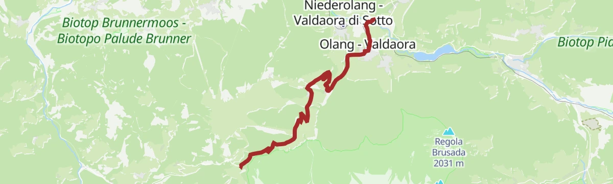
Open route Tourismusgenossenschaft AntholzertalFrom Valdaora to Anterselva di Sotto with the bike
A gently rising valley link from Olang towards Anterselva, passing the fishing pond and Bad Salomonsbrunn on the way north.
- 10.6 km
- Distance
- 113 m
- Ascent
- 1 h 2 min
- Duration
- 17
- Check-ins
- Tourist Info Olang 1 046 m
- Fischteich 1 115 m
- Bad Salomonsbrunn 1 099 m
Open route OlangRoad bike tour to the Furcia Pass
A road loop from Badia over the Ju de Furćia into the Val Pusteria, on climbing roads the Giro d'Italia has used more than once.
- 85.2 km
- Distance
- 1 758 m
- Ascent
- 9 h 13 min
- Duration
- 131
- Check-ins
- Furcia Center 1 741 m
- Ju de Furćia - Furkelpass - Passo Furcia 1 789 m
- Cafe Preroman 1 107 m
- Posta 1 019 m
- Hubertus 1 292 m
- Marchner Hütte 1 551 m
- +9
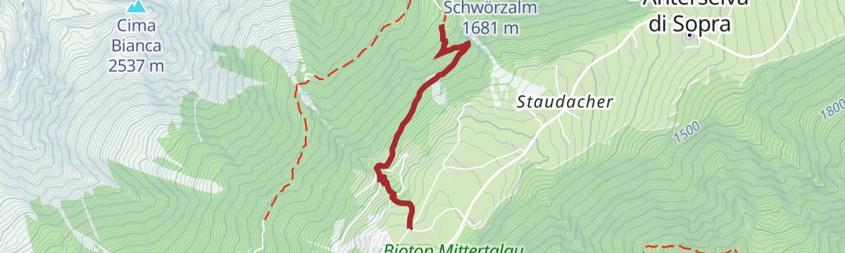
Open route Alta Badia Tourism CooperativePanoramic Hike from the Biathlon Centre via Schwörzalm hut to Antholz Mittertal
A varied walk from the Antholz Obertal biathlon centre by the Kornbrente trail to the Schwörzalm, then forest roads to the Berger Alm and past the Klammbach waterfall to Mittertal.
- 6.9 km
- Distance
- 259 m
- Ascent
- 2 h 48 min
- Duration
- 21
- Check-ins
Open route Tourismusgenossenschaft AntholzertalHike from Antholz Mittertal to the Lake Antholz
A loop up one flank of the upper Antholz valley to Lake Antholz and back down the other, quiet ground facing the Rieserferner group.
- 13.1 km
- Distance
- 591 m
- Ascent
- 4 h 32 min
- Duration
- 73
- Check-ins
- Tiroler Hütte 1 647 m
- Huber Alm 1 630 m
- Pension Brunner 1 491 m
- Zivilschutzzentrum Antholz Mittertal 1 264 m
- Bergerhof 1 305 m
Open route Tourismusgenossenschaft AntholzertalLutterkopf peak 2.145m
A circuit from Oberrasen by the Mudler mountain inn up to the Lutterkopf, forest at first and then open ground, looking over the Antholz and Puster valleys to the Dolomites.
- 11.2 km
- Distance
- 983 m
- Ascent
- 6 h 12 min
- Duration
- 58
- Check-ins
- Lutterkopf - Monte Luta 2 145 m
- Berggasthaus Mudler 1 584 m
- Hochrautalm 1 646 m
- Brunnerwiesen-Alm 1 971 m
- Kuermle 1 517 m
- Agriturismo Oberstallerhof 1 218 m
Open route Tourismusgenossenschaft AntholzertalBike Tour to Bruneck
A gentle run out of the Antholz valley onto the Pustertal cycle path, following the Rienz through Percha to the gorge below Bruneck.
- 11.5 km
- Distance
- 90 m
- Ascent
- 1 h 11 min
- Duration
- 10
- Check-ins
- Treff Ried 927 m
- Weiher in der Aue 918 m
- Sportbar Percha 926 m
- Tourismusverein Rasen 1 041 m
Open route Tourismusgenossenschaft AntholzertalBike Tour to the Lake Antholz
A valley climb from Neunhäusern up the Antholzertal cycle path, then onto the road for the last pull to the lake at 1,650 m and its Seehaus.
- 18.3 km
- Distance
- 616 m
- Ascent
- 1 h 59 min
- Duration
- 111
- Check-ins
- Seerestaurant 1 649 m
- Tiroler Hütte 1 647 m
- Huber Alm 1 630 m
- Seehaus 1 650 m
- Pension Brunner 1 491 m
- Fischteich 1 115 m
- +2
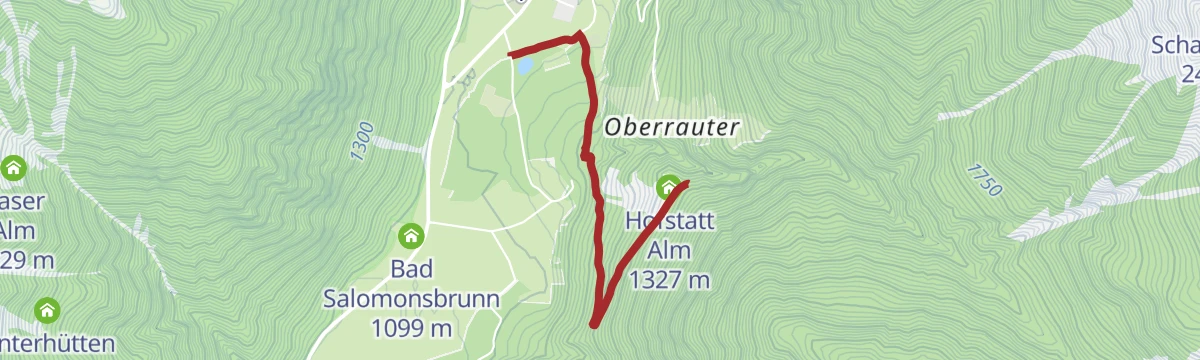
Open route Tourismusgenossenschaft AntholzertalFamily Hike to Hofstatt Alm
A short forest road from Antholz Niedertal to the Hofstatt Alm, passable with a trekking pushchair, with a playground and two marble runs at the hut.
- 2.4 km
- Distance
- 245 m
- Ascent
- 1 h 3 min
- Duration
- 14
- Check-ins
- Hofstatt Alm 1 327 m
- Fischteich 1 115 m
Open route Tourismusgenossenschaft AntholzertalCircular hike: Lutterkopf – Durakopf
A circuit from Rasun over Monte Luta and the Durakopf, by the Mudler inn and along the ridge, coming down at the Taistner Vorderalm.
- 11.2 km
- Distance
- 695 m
- Ascent
- 4 h 46 min
- Duration
- 63
- Check-ins
- Lutterkopf - Monte Luta 2 145 m
- Durakopf 2 275 m
- Taistner Vorderalm - Malga di Tesido di davanti 2 006 m
- Stall 2 006 m
Open route Tourismusgenossenschaft AntholzertalAlmerhorn peak 2.985m
A demanding summit tour from the high start at the Staller Saddle over alpine meadows, grass, scree and rock to the Almerhorn, facing the Defereggen valley.
- 4.1 km
- Distance
- 927 m
- Ascent
- 3 h 22 min
- Duration
- 56
- Check-ins
- Almerhorn 2 985 m
- Kleines Mandl 2 740 m
- Staller Sattel - Passo di Stalle 2 052 m
- Altes Zollhaus 2 052 m
- Jägerscharte 2 870 m
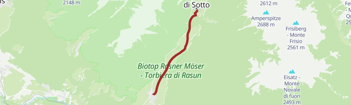
Open route Tourismusgenossenschaft AntholzertalAntholz Valley Cycle Trail
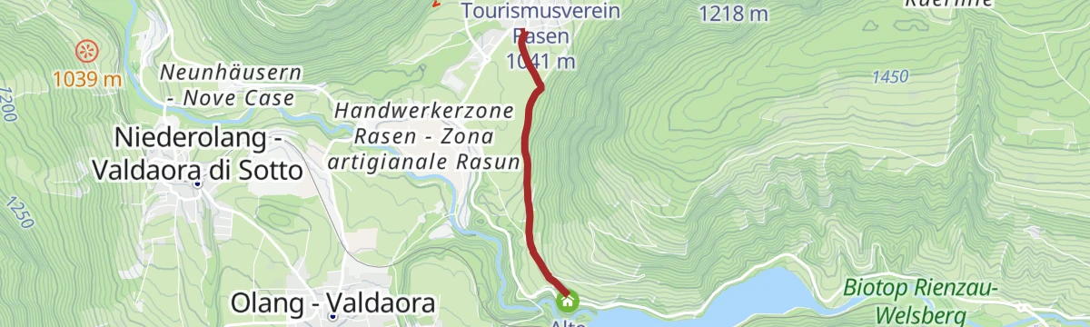
A near-level family run down the valley from Antholz-Mittertal to Neunhäusern, past the fish pond, the Rasner Möser biotope and Bad Salomonsbrunn.
- 12.3 km
- Distance
- 0 m
- Ascent
- 1 h 11 min
- Duration
- 9
- Check-ins
- Fischteich 1 115 m
- Bad Salomonsbrunn 1 099 m
- Tourismusverein Rasen 1 041 m
Open route Tourismusgenossenschaft AntholzertalBike Tour around Kronplatz
A circuit of the Kronplatz linking the Gader and Puster valleys, with the climb to the Ju de Furćia at 1,789 m as the high point.
- 48.8 km
- Distance
- 1 180 m
- Ascent
- 5 h 27 min
- Duration
- 72
- Check-ins
- Furcia Center 1 741 m
- Ju de Furćia - Furkelpass - Passo Furcia 1 789 m
- Marchner Hütte 1 551 m
- Gasthof Saalerwirt 983 m
- Alpine Hotel Gran Fodá 1 750 m
- Aparthotel Pichlerhof 953 m
- +5
Open route Tourismusgenossenschaft AntholzertalVillage loop Antholz: from Antholz Mittertal to Antholz Obertal and back
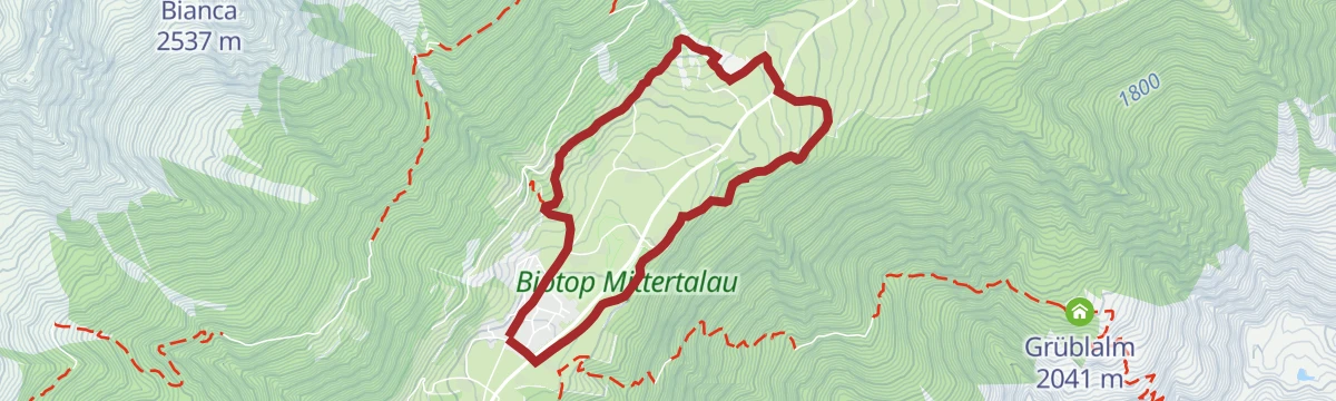
An easy circuit between Antholz Mittertal and Antholz Obertal along the stream, through forest and past old farmsteads, returning on the other side of the valley.
- 5.3 km
- Distance
- 209 m
- Ascent
- 1 h 46 min
- Duration
- 14
- Check-ins
Open route Tourismusgenossenschaft AntholzertalPeak Hinterbergkofel 2.726m
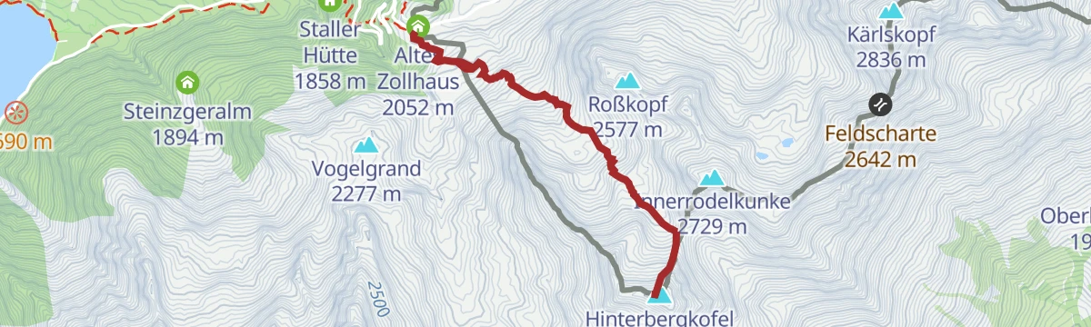
A quiet climb from the Staller Saddle into the remote Weißenbachtal and up its gentle valley floor to the Hinterbergkofel, on the border with East Tyrol.
- 3.1 km
- Distance
- 671 m
- Ascent
- 2 h 27 min
- Duration
- 55
- Check-ins
- Hinterbergkofel - Monte di Dentro 2 727 m
- Staller Sattel - Passo di Stalle 2 052 m
- Altes Zollhaus 2 052 m
- Hallscharte 2 549 m
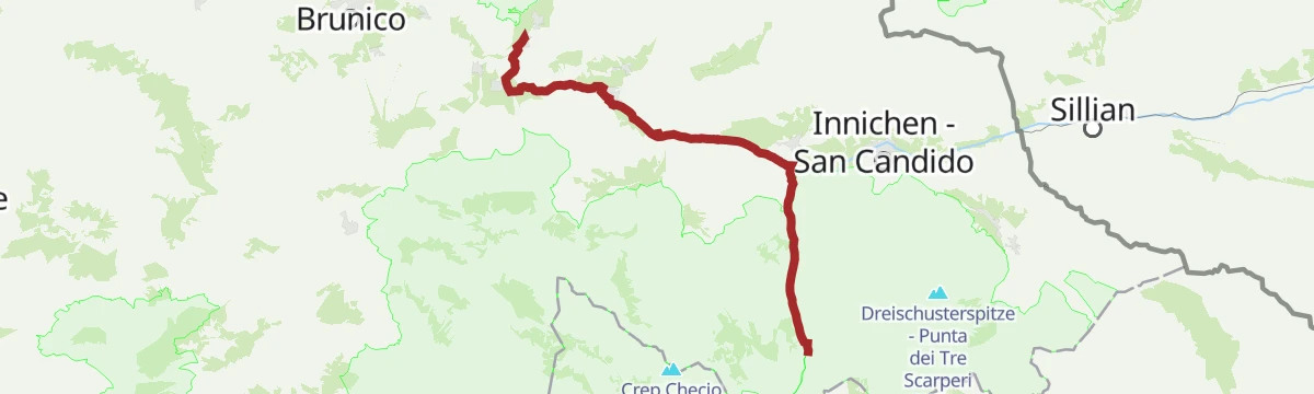
Open route Tourismusgenossenschaft AntholzertalCammino di San Giacomo, tappa Monguelfo – Valdaora – Nessano – Brunico
A pilgrim stage of the South Tyrolean Way of St James down the Pusteria from Monguelfo by Valdaora and Nessano into Brunico.
- 21.3 km
- Distance
- 332 m
- Ascent
- 6 h 2 min
- Duration
- 24
- Check-ins
- Tourismusverein - Associazione turistica 841 m
- Tourist Info Olang 1 046 m
- Infobüro - Ufficio informazioni 1 090 m
- Lamprechtsburgkapelle 951 m
- Salla 1 252 m
Open route Sterzing, Pfitsch und FreienfeldBike Tour to Brunst Alm hut
A steep climb from Niederrasen up through Oberolang and into the forest, gaining 900 m in 10 km to reach the Brunstalm at 1,898 m.
- 10.4 km
- Distance
- 887 m
- Ascent
- 1 h 32 min
- Duration
- 8
- Check-ins
Open route Tourismusgenossenschaft AntholzertalBike Tour to the Pragser Wildsee Lake
A paved-and-gravel ride turning off between Welsberg and Niederdorf into the Prags valley, past Außerprags and Bad Neuprags to the lake at 1,505 m.
- 27.3 km
- Distance
- 543 m
- Ascent
- 2 h 48 min
- Duration
- 68
- Check-ins
- Hotel Edelweiss 1 169 m
- Hotel Pragser Wildsee - Hotel Lago di Braies 1 505 m
- Infranet POP Welsberg 1 117 m
- Hotel Erika 1 171 m
- Bad Neuprags 1 335 m
- Fischteich 1 115 m
- +3
Open route Tourismusgenossenschaft AntholzertalWalking to the "Goste" (Oberolang)
An easy gravel path from the Joggila Stöckl chapel at Niederrasen across open fields to the forest edge, then gently up to the Goste above Oberolang.
- 2.0 km
- Distance
- 77 m
- Ascent
- 35 min
- Duration
- 12
- Check-ins
Open route Tourismusgenossenschaft AntholzertalRotwand mountain 2.818m
A climb from the Staller Saddle through the Agsttal, past alpine meadows and streams and onto rougher ground, to the Rotwand on the border with East Tyrol.
- 5.5 km
- Distance
- 757 m
- Ascent
- 2 h 60 min
- Duration
- 52
- Check-ins
Open route Tourismusgenossenschaft AntholzertalDurakopf peak 2.275m
A ridge walk from Oberstall above Oberrasen over the Lutterkopf to the Durakopf, with a long forest climb first past the Hochrautalm and Brunnerwiesenalm huts.
- 7.7 km
- Distance
- 1 134 m
- Ascent
- 4 h 29 min
- Duration
- 22
- Check-ins
Open route Tourismusgenossenschaft AntholzertalFamily bike tour to the Rasner Möser biotope
An easy tour between Oberrasen and Antholz-Niedertal, turning at the moorland nature reserve halfway along, with its two small lakes and nature trail.
- 12.5 km
- Distance
- 61 m
- Ascent
- 1 h 10 min
- Duration
- 4
- Check-ins
Open route Tourismusgenossenschaft AntholzertalBike Tour to the Lake Toblach
A ride down to the Pustertal cycle path and on through Welsberg and Niederdorf, turning off at Toblach for the lake at 1,266 m.
- 22.5 km
- Distance
- 294 m
- Ascent
- 2 h 12 min
- Duration
- 44
- Check-ins
- Baita 1 175 m
- Tourismusbüro Niederdorf - Ufficio Turistico di Villabassa 1 156 m
- Hotel Baur am See 1 266 m
- Ochsenleger 1 230 m
- Tourismusverein Rasen 1 041 m
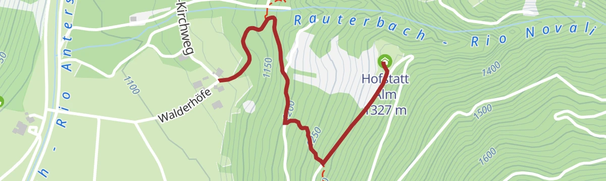
Open route Tourismusgenossenschaft AntholzertalHike to the Hofstatt hut
Trail 31A from the Walderhöfe farms in Antholz Niedertal, about half an hour through thick forest to the Hofstattalm, which serves refreshments.
- 1.3 km
- Distance
- 209 m
- Ascent
- 48 min
- Duration
- 10
- Check-ins
Open route OlangPasso Furcia/Furkelpass
A climb from the middle of Valdaora di Mezzo up to the Passo Furcia, the saddle carrying the road between the Puster valley and Badia.
- 12.0 km
- Distance
- 767 m
- Ascent
- 3 h 60 min
- Duration
- 51
- Check-ins
- Ju de Furćia - Furkelpass - Passo Furcia 1 789 m
- Hubertus 1 292 m
- Marchner Hütte 1 551 m
- Tourist Info Olang 1 046 m
- Mittermühlbacherhof 1 107 m
- Berggasthof Trattes 1 545 m
Open route OlangRammelstein peak 2.483m
A summit walk above the Antholz valley to the Rammelstein, reached from Antholz Mittertal, Niedertal, Oberrasen or Niederrasen through forest and meadow onto open ridges.
- 4.9 km
- Distance
- 1 029 m
- Ascent
- 3 h 47 min
- Duration
- 20
- Check-ins
Open route Tourismusgenossenschaft AntholzertalBike Tour to the View of the Three Peaks
A long ride down the Pustertal to Toblach and on towards Cortina, finishing at the viewpoint that looks across to the Drei Zinnen.
- 31.2 km
- Distance
- 474 m
- Ascent
- 3 h 5 min
- Duration
- 44
- Check-ins
- Baita 1 175 m
- Tourismusbüro Niederdorf - Ufficio Turistico di Villabassa 1 156 m
- Hotel Baur am See 1 266 m
- Ochsenleger 1 230 m
- Tourismusverein Rasen 1 041 m
Open route Tourismusgenossenschaft AntholzertalJogging Route from Oberrasen to Antholz Niedertal
A flat running line between Oberrasen and Antholz Niedertal, mostly beside the Antholz stream through open valley meadows; suited to easy or recovery runs.
- 5.4 km
- Distance
- 30 m
- Ascent
- 1 h 19 min
- Duration
- 8
- Check-ins
- Fischteich 1 115 m
- Bad Salomonsbrunn 1 099 m
Open route Tourismusgenossenschaft AntholzertalHike to Bergeralm
A climb from Antholz Mittertal by the Eggerhöfe farm and shaded forest past the Klammbach waterfall to the staffed Bergeralm, which sits in the sun above the valley.
- 2.1 km
- Distance
- 363 m
- Ascent
- 1 h 23 min
- Duration
- 12
- Check-ins
Open route Tourismusgenossenschaft AntholzertalVia Alpina in the Antholz Valley – stage via Grüblscharte to Rieserferner Hut
A Via Alpina stage from the Casies valley over the Grueblscharte into the Anterselva valley and up to the Rieserferner hut.
- 21.7 km
- Distance
- 2 586 m
- Ascent
- 12 h 34 min
- Duration
- 18
- Check-ins
- Rieserfernerhütte - Rifugio Vedrette di Ries 2 792 m
- Schwörzalm 1 681 m
- Gänsebichlsee 2 789 m
- Lastatt 1 601 m
- Oerl 1 276 m
- Grüblscharte 2 394 m
- +7
Open route Tourismusgenossenschaft AntholzertalPuster Valley cycle path to Mühlbach
A long valley ride from Niederrasen down through Bruneck and St. Lorenzen, finishing at the old Mühlbacher Torturm gate.
- 38.4 km
- Distance
- 97 m
- Ascent
- 3 h 36 min
- Duration
- 41
- Check-ins
- Mühlbacher Torturm - Porta di Rio Pusteria 734 m
- Mini Snack 745 m
- Treff Ried 927 m
- Touristik Information 764 m
- Informationsbüro St. Lorenzen 818 m
- Gisser Werk 776 m
- +3
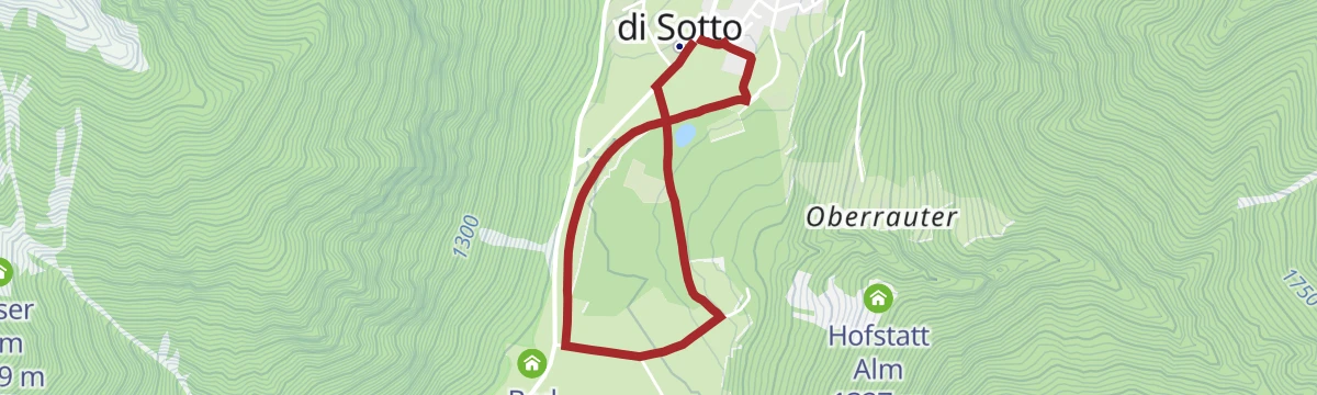
Open route Tourismusgenossenschaft AntholzertalFamily Circular Trail in Antholz Niedertal
An easy loop around Antholz Niedertal on forest and meadow paths, past the fishing pond and the old baths at Bad Salomonsbrunn, with stretches beside the stream.
- 3.1 km
- Distance
- 10 m
- Ascent
- 45 min
- Duration
- 4
- Check-ins
- Fischteich 1 115 m
Open route Tourismusgenossenschaft AntholzertalPanoramic circular hike on the Antholz Mittertal High Walk
A loop above Antholz Mittertal by the Egger farms and the Klammbach waterfall to the Bergeralm, then along a high trail through quiet forest with the valley below.
- 6.7 km
- Distance
- 565 m
- Ascent
- 3 h 36 min
- Duration
- 12
- Check-ins
Open route Tourismusgenossenschaft Antholzertal
No routes of this kind in Rasun-Anterselva/Rasen-Antholz yet.
The region's own picks

Featured route
Hike to Steinzger Alm
A varied walk in the upper Anterselva valley from the lake up to the Steinzger dairy.
Planning a trip to Rasun-Anterselva/Rasen-Antholz?
Everything else Trentino-Alto Adige/Südtirol has, in one place


Take Rasun-Anterselva/Rasen-Antholz with you into the mountains
Every route on this page with 3D terrain, GPX navigation and offline maps — including the valleys with no signal.
Data sources
- Official website: suedtirol.info ↗
- Routes and highlights: Tourismusgenossenschaft Antholzertal, Sterzing, Pfitsch und Freienfeld, Olang, YesAlps, Alta Badia Tourism Cooperative
- Published as open data by the tourist boards named above.
- Region summary generated from the board's own material.
