









Curated by Valtellina Outdoor
Ponte di Legno
The Alta Val Camonica resort where the Gavia and Tonale pass roads divide, inside the Stelvio national park.
- 2Highlights
- 18Routes
- Featured summit · La Sgualdrina
Highlights
1 from neighbouring places
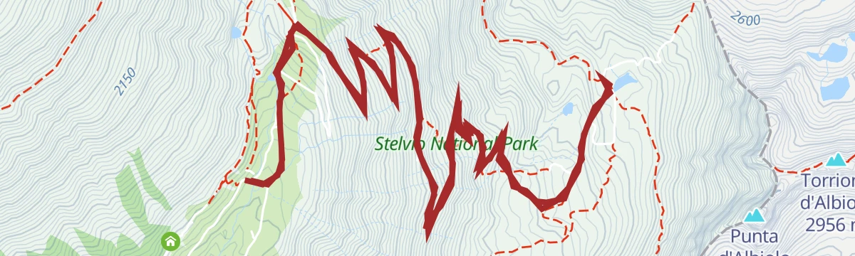
Parco Nazionale dello Stelvio
Italy's largest national park, spanning Lombardy, Trentino and South Tyrol around the Ortles-Cevedale glaciers.
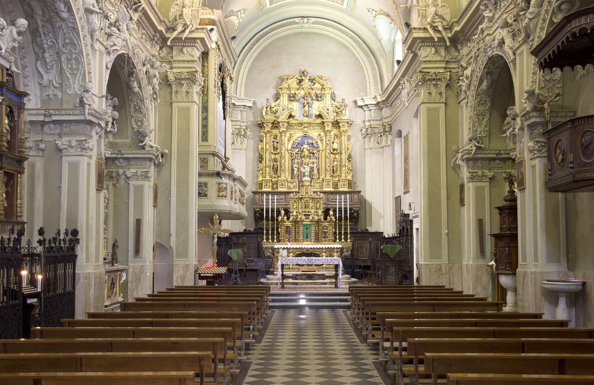
Chiesa della Santissima Trinità
A sixteenth-century church on a knoll in the middle of Ponte di Legno, at the head of the Val Camonica.
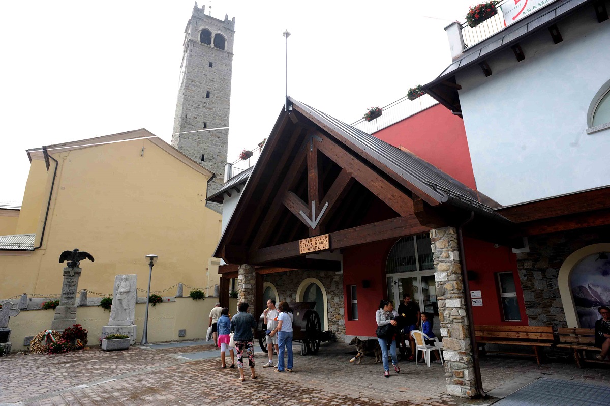
Museo della Guerra Bianca in Adamello di Temù
6 km away, in Temù
A museum at Temù on the White War fought on the Adamello glaciers between 1915 and 1918.
Nothing of this kind in Ponte di Legno.
Routes
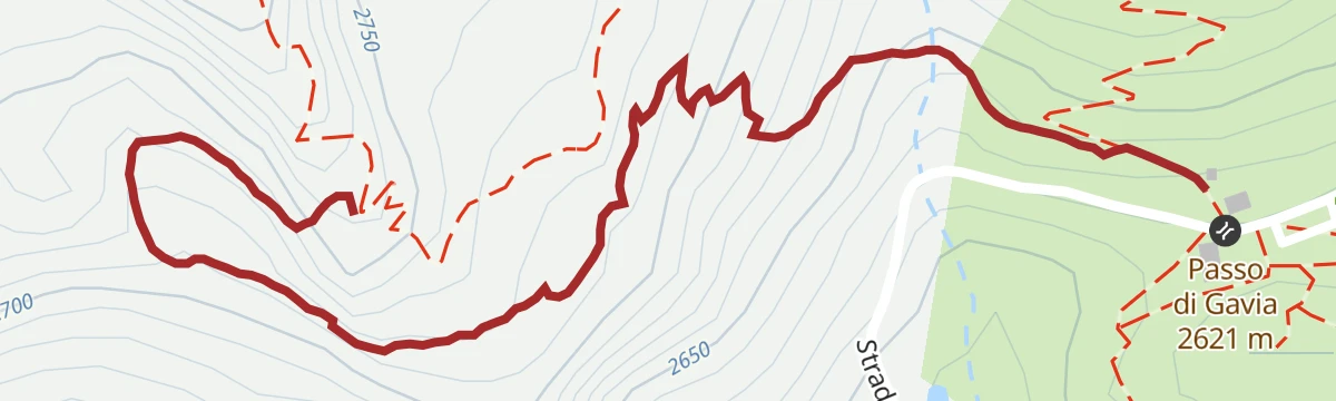
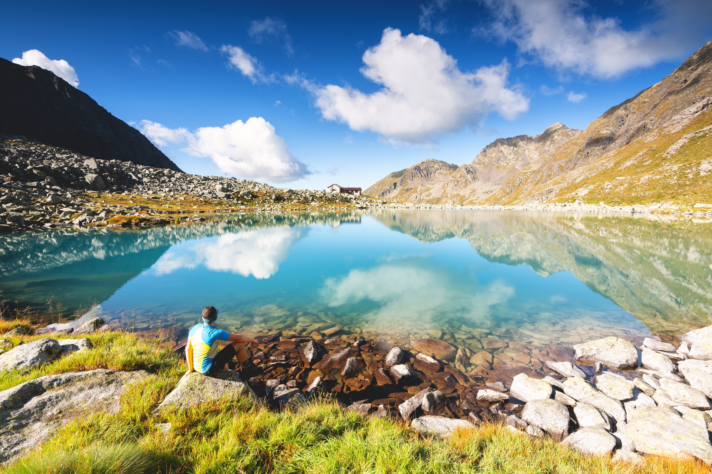
Escursione dal Passo Gavia al RIfugio Berni
A short walk near the Gavia pass to the Berni hut, crossing the old stone bridge below the Dosso.
- 2.8 km
- Distance
- 20 m
- Ascent
- 46 min
- Duration
- 91
- Check-ins
 Rifugio Arnaldo Berni 2 560 m
 Passo di Gavia 2 621 m
- Rifugio Bonetta 2 621 m
- Ex Rifugio Gavia 2 534 m
 Lago Bianco 2 611 m
Open route Valtellina OutdoorBeacon It. 6 - Conca Montozzo
A climb from Case di Viso on the old military road to the Bozzi hut, once a Guardia di Finanza barracks, then on trail 111 to the Montozzo saddle at 2,618 m.
- 6.3 km
- Distance
- 837 m
- Ascent
- 3 h 21 min
- Duration
- 61
- Check-ins
- Rifugio Angelino Bozzi 2 478 m
- Laghetti di Montozzo 2 471 m
- Baita Casaiole 2 102 m
- Forcellina di Montozzo 2 613 m
Open route Valtellina OutdoorFlower Path «Flower Path»
A wartime route above Vermiglio along old trenches, fixed steel cables and wire footbridges, with wide views; proper mountain equipment and fitness are needed.
- 10.1 km
- Distance
- 1 038 m
- Ascent
- 6 h 21 min
- Duration
- 373
- Check-ins
 La Sgualdrina 3 006 m
- Corno di Lago Scuro 3 166 m
- Corno di Casamadre 3 090 m
- Il Gendarme 3 044 m
- Passo Presena 2 990 m
- Ski Bar Presena 3000 - Panorama 3000 Glacier 2 999 m
- +8
Open route APT Valli di Sole, Peio e RabbiEpic Trail Great War Short N°705
A high mountain-bike route over the Passo del Tonale to the Bozzi hut and the Montozzo tarns.
- 53.2 km
- Distance
- 2 196 m
- Ascent
- 6 h 48 min
- Duration
- 159
- Check-ins
- Passo del Tonale 1 883 m
- Rifugio Angelino Bozzi 2 478 m
- Laghetti di Montozzo 2 471 m
- Il Rododendro 1 880 m
- Bar Cadì 1 883 m
- Bar Ristorante Nigritella 2 084 m
- +17
Open route APT Valli di Sole, Peio e RabbiDa Ponte di Legno ai Rif. Capanna Valbione e Petit Pierre
A ride on wide, easy dirt roads from Ponte di Legno up to the Valbione and Petit Pierre huts.
- 13.2 km
- Distance
- 664 m
- Ascent
- 1 h 51 min
- Duration
- 75
- Check-ins
L’Alta Via Camuna in Mountain Bike
A long loop ride from Ponte di Legno in the upper Valle Camonica, climbing past the Laghetti di Montozzo to Rifugio Angelino Bozzi.
- 41.8 km
- Distance
- 1 403 m
- Ascent
- 5 h 2 min
- Duration
- 154
- Check-ins
The "hundred steps" of Monte Gavia
A short steep flight of zigzags up the flank of Monte Gavia from the pass road.
- 1.4 km
- Distance
- 146 m
- Ascent
- 39 min
- Duration
- 39
- Check-ins
Open route Valtellina OutdoorLa Val di Viso
A route from Case di Viso, whose schist huts carry stone-slab roofs, up a military mule track through green alder into the Val di Viso.
- 12.0 km
- Distance
- 715 m
- Ascent
- 4 h 57 min
- Duration
- 58
- Check-ins
- Rifugio Angelino Bozzi 2 478 m
- Laghetti di Montozzo 2 471 m
- Baita Casaiole 2 102 m
- Laghetto Calzamai 1 803 m
Open route Valtellina OutdoorRifugio Bozzi and Montozzo Lakes
A demanding climb over the Tonale meadows to the Passo dei Contrabbandieri and the Bozzi hut, with Great War remains nearby and the Montozzo lakes above the Val di Peio.
- 7.9 km
- Distance
- 1 055 m
- Ascent
- 4 h 36 min
- Duration
- 135
- Check-ins
- Ristorante Valbiolo 2 254 m
- Passo dei Contrabbandieri 2 661 m
- Rifugio Angelino Bozzi 2 478 m
- Laghetti di Montozzo 2 471 m
- Hotel La Mirandola 1 976 m
- Bacino di Valbiolo 2 066 m
- +1
Open route APT Valli di Sole, Peio e RabbiAlpine Gravel Passo Tonale
A gravel ride up the upper Val di Sole from Mezzana through Vermiglio to the Passo del Tonale, returning past old Austro-Hungarian forts.
- 47.0 km
- Distance
- 1 234 m
- Ascent
- 5 h 20 min
- Duration
- 76
- Check-ins
- Passo del Tonale 1 883 m
- Hotel La Mirandola 1 976 m
- Bar Cadì 1 883 m
- Il Faita 1 824 m
- Malga Cadì 1 928 m
- Baita Velon 1 347 m
- +2
Open route APT Valli di Sole, Peio e RabbiViaggio nel tempo nelle innevate Case di Viso
A winter walk up to Case di Viso, a small stone hamlet in the upper Valle Camonica just beyond Ponte di Legno.
- 6.9 km
- Distance
- 307 m
- Ascent
- 2 h 20 min
- Duration
Escursione da Passo di Gavia al Monte Gaviola
A short, steep climb from the Gavia pass to the top of Monte Gaviola, on open ground above the road.
- 2.6 km
- Distance
- 399 m
- Ascent
- 1 h 33 min
- Duration
- 50
- Check-ins
Open route Valtellina OutdoorThe epic climb
The narrow old road over the Gavia, made famous by the snowbound 1988 Giro d'Italia, with the steepest turns saved for the end.
- 17.8 km
- Distance
- 1 381 m
- Ascent
- 6 h 24 min
- Duration
- 77
- Check-ins
- Passo di Gavia 2 621 m
- Rifugio Bonetta 2 621 m
- Bar La Sosta Appetitosa 1 299 m
- Albergo Passo Pietra Rossa 1 583 m
- Ristorante Al Mulino 1 349 m
- La Cà di Odì 1 380 m
- +2
Open route Valtellina OutdoorBelvedere (Contrafforte del Corno dei Tre Signori)
A steady First World War mule track from the Bonetta hut at the Gavia pass out to the Belvedere on the buttress of the Corno dei Tre Signori; the last metres are exposed.
- 2.6 km
- Distance
- 353 m
- Ascent
- 1 h 24 min
- Duration
- 39
- Check-ins
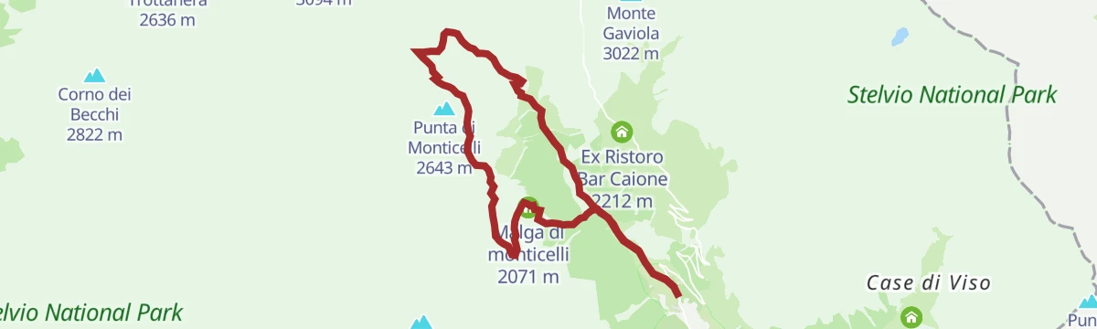
Open route Valtellina OutdoorUna Messi d'emozioni
A long walk from the Sant'Apollonia spring at Ponte di Legno up the Valle delle Messi between the Pietra Rossa and Gavia passes; parking is paid.
- 14.4 km
- Distance
- 939 m
- Ascent
- 6 h 21 min
- Duration
- 34
- Check-ins
- Rifugio Valmalza 1 998 m
- Bivacco Linge 2 275 m
- Lago di Monticelli 2 306 m
- Malga di monticelli 2 071 m
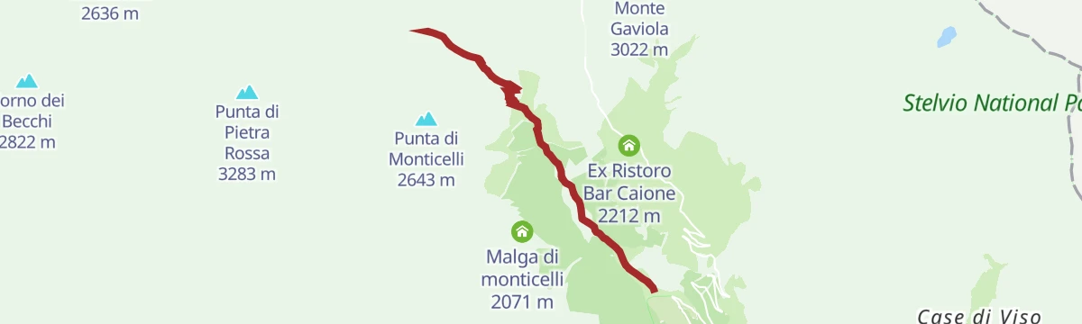
La Valle delle Messi
A walk into the Valle delle Messi, the wild side valley leaving the Gavia pass road just above Ponte di Legno.
- 13.8 km
- Distance
- 868 m
- Ascent
- 5 h 56 min
- Duration
- 31
- Check-ins
Scendendo dal Passo del Tonale
A long descent from the Tonale pass down the Valle Camonica towards Ponte di Legno, losing height nearly all the way.
- 20.3 km
- Distance
- 75 m
- Ascent
- 5 h 28 min
- Duration
- 27
- Check-ins
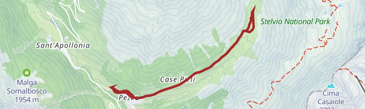
The Valle delle Messi
A valley walk from Pezzo past clusters of stone huts towards Monte Gavia, over the flats where the Silizzi lake silted up under the Frigidolfo's gravel.
- 9.5 km
- Distance
- 597 m
- Ascent
- 4 h 5 min
- Duration
- 20
- Check-ins
Open route Valtellina Outdoor
No routes of this kind in Ponte di Legno yet.
The region's own picks

Featured route
Escursione dal Passo Gavia al RIfugio Berni
A short walk near the Gavia pass to the Berni hut, crossing the old stone bridge below the Dosso.
Planning a trip to Ponte di Legno?
Everything else Lombardy has, in one place


Take Ponte di Legno with you into the mountains
Every route on this page with 3D terrain, GPX navigation and offline maps — including the valleys with no signal.
Data sources
- Official website: turismovallecamonica.it ↗
- Routes and highlights: Valtellina Outdoor, in Lombardia, Visitbrescia, APT Valli di Sole, Peio e Rabbi
- Published as open data by the tourist boards named above.
- Region summary generated from the board's own material.
