
 Mountain hut
 Historic site





Curated by Visitvalsesiavercelli
Piode
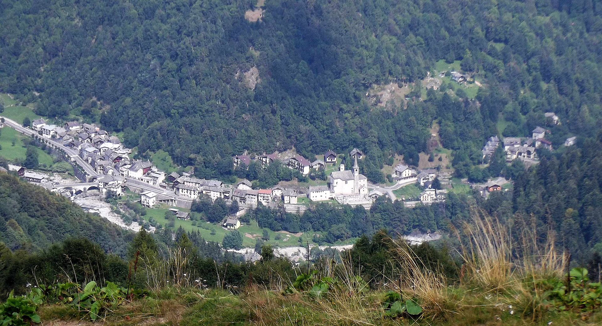
Valsesia village at 752 metres on the Sesia, a launching point for rafting and canoeing on the river.
- 7Highlights
- 5Routes
- Featured summit · Monte Bo di Valsesia
Highlights
All 7 from neighbouring places
La Chiesa di Riva Valdobbia
10.5 km away, in Alagna Valsesia
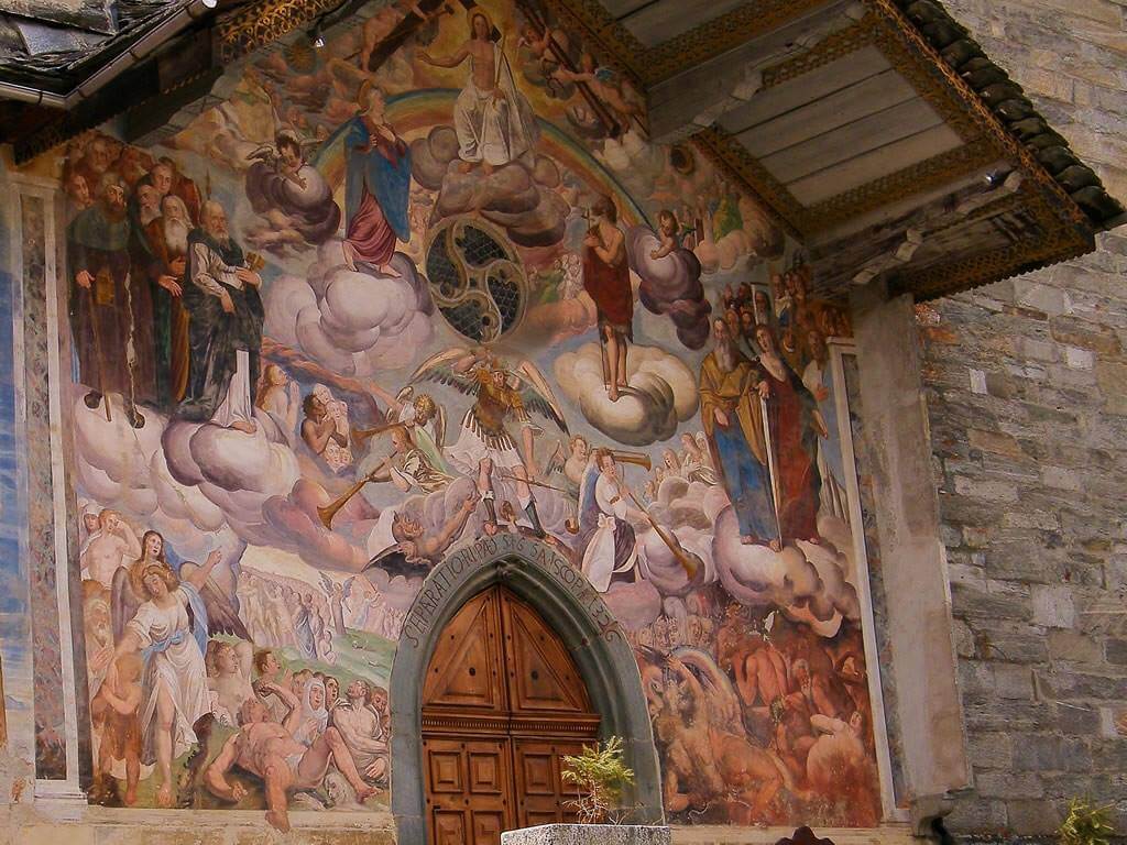
A church consecrated in 1326 at Riva Valdobbia, rebuilt after a flood of the Vogna torrent in 1640, with a painted facade.
L’assolata Val Vogna fino al lago de la Peccia
11.7 km away, in Alagna Valsesia
A gently graded path up the Val Vogna from Riva Valdobbia, an old Walser mule track leading to the Lago della Peccia.
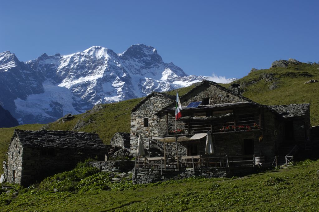
Baita Walser Reale
12.9 km away, in Alagna Valsesia
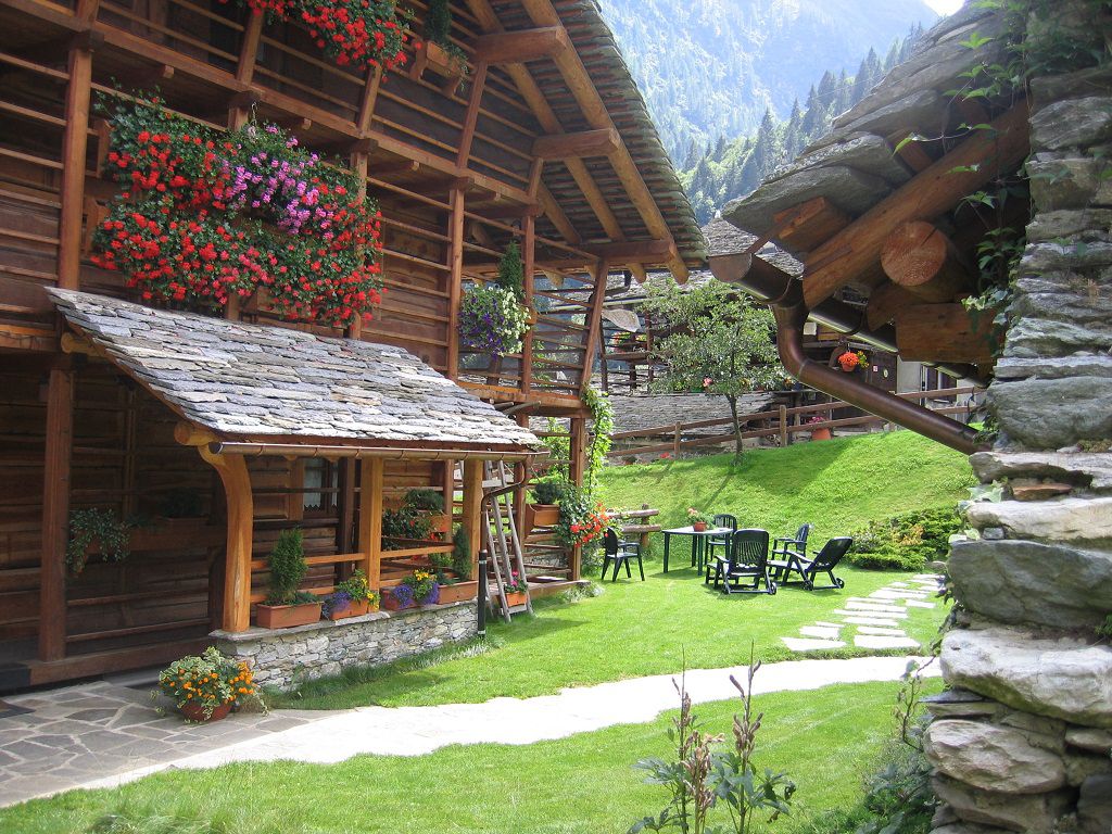
A Walser house of stone and timber above Alagna, rebuilt in the traditional way and run as a hut.
La Chiesa di Alagna
13.1 km away, in Alagna Valsesia
The parish church of San Giovanni Battista in the Cantro quarter of Alagna, its portico carrying nineteenth-century frescoes.
Il lago ed il rifugio dell’Alpe Campo
13.1 km away, in Alagna Valsesia
A pasture and small lake on the Alpe Campo terrace, the classic balcony view of the Monte Rosa east face.
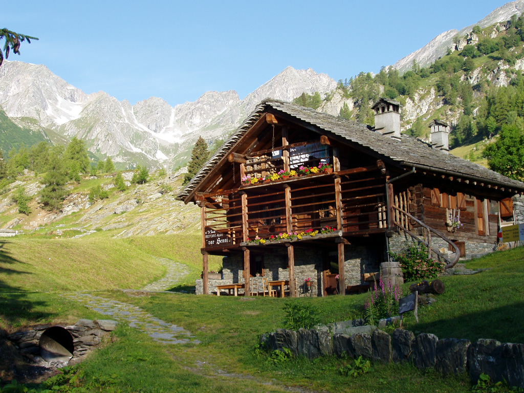
RIFUGIO ZAR SENNI
13.2 km away, in Alagna Valsesia
A hut in the Otro basin above Alagna, a hanging Walser valley of stone-and-timber hamlets.
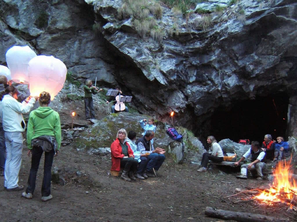
Le Miniere di manganese
13.7 km away, in Alagna Valsesia
Manganese workings above Alagna, driven into the slope in the nineteenth century and open on guided visits.
Nothing of this kind in Piode.
Routes
15 from neighbouring places
Pista ciclopedonale della Valsesia: Tappa 4A Alpe Pianelle
A short branch of the Valsesia cycle and foot route, climbing to the Alpe Pianelle above Piode.
- 1.7 km
- Distance
- 199 m
- Ascent
- 50 min
- Duration
- 1
- Check-ins
PIODE
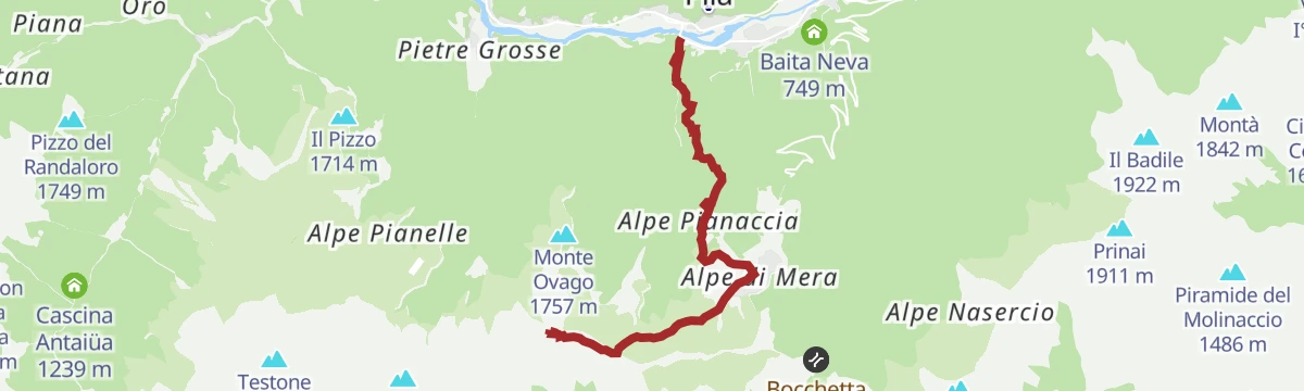
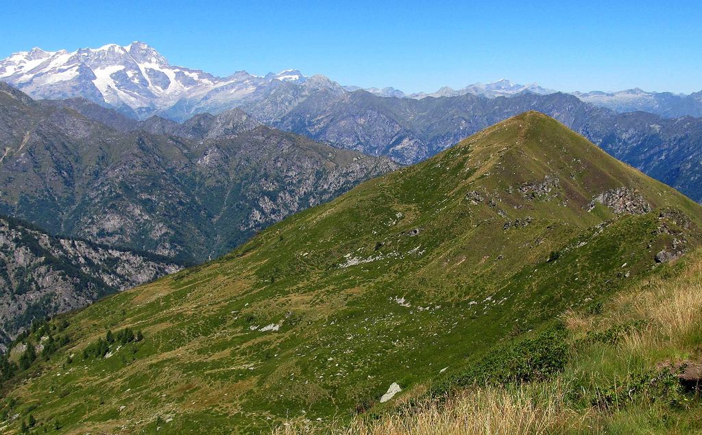
A steep climb out of Piode in the Valsesia, crossing the old Sesia bridge towards Piedimeggiana and rising to Il Pizzo and Monte Bo.
- 5.0 km
- Distance
- 1 118 m
- Ascent
- 4 h 4 min
- Duration
- 13
- Check-ins
Ciclabile Balmuccia
A route the length of the upper Valsesia, past the Salto di Piode falls and the valley's churches and museums.
- 31.0 km
- Distance
- 849 m
- Ascent
- 3 h 21 min
- Duration
- 34
- Check-ins
Pista ciclopedonale della Valsesia: Tappa 5 Piode
Stage five of the Valsesia cycle and footpath, running along the Sesia valley floor through Piode.
- 15.6 km
- Distance
- 620 m
- Ascent
- 4 h 47 min
- Duration
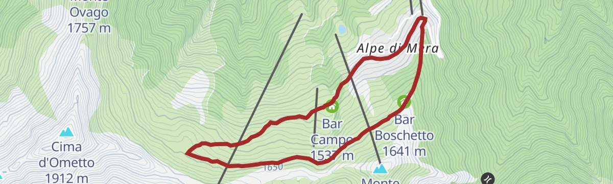
Ciclabile Scopello-Mera-Meggiana-Rassa-Scopello
A demanding loop out of the Valsesia, climbing to the Alpe di Mera and the Colle del Monte Ovago at 1,738 m before dropping to Rassa.
- 37.8 km
- Distance
- 1 398 m
- Ascent
- 4 h 40 min
- Duration
- 3
- Check-ins
Anello Ciclopedonale di Mera
4.1 km away, in Scopello
A short cycling and walking loop at Mera above Scopello, in the woods of the upper Valsesia.
- 4.3 km
- Distance
- 137 m
- Ascent
- 31 min
- Duration
- 8
- Check-ins
RASSA
9.2 km away, in Gressoney-Saint-Jean
From the car park at Rassa, 917 m, beyond the stream on the left of the village, a surfaced lane runs on to the start of a steep road.
- 11.8 km
- Distance
- 0 m
- Ascent
- 4 h 11 min
- Duration
- 2
- Check-ins
Frazioni alte di Mollia
6 km away, in Mollia
An easy walk up to the higher hamlets of Mollia on the village art trail, as much for its cultural stops as for the views over the valley.
- 4.2 km
- Distance
- 201 m
- Ascent
- 1 h 26 min
- Duration
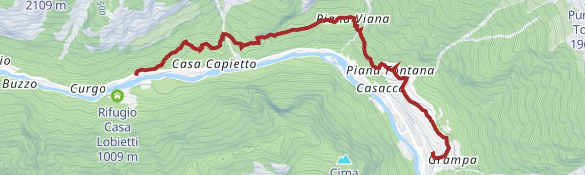
PILA- Casarolo– Alpe il Castello
3 km away, in Pila
A steep climb from the village of Pila on the old Valgrande road, topping out on the Cima d'Ometto by way of the Colma dei Lavaggi.
- 6.8 km
- Distance
- 1 174 m
- Ascent
- 4 h 27 min
- Duration
- 15
- Check-ins
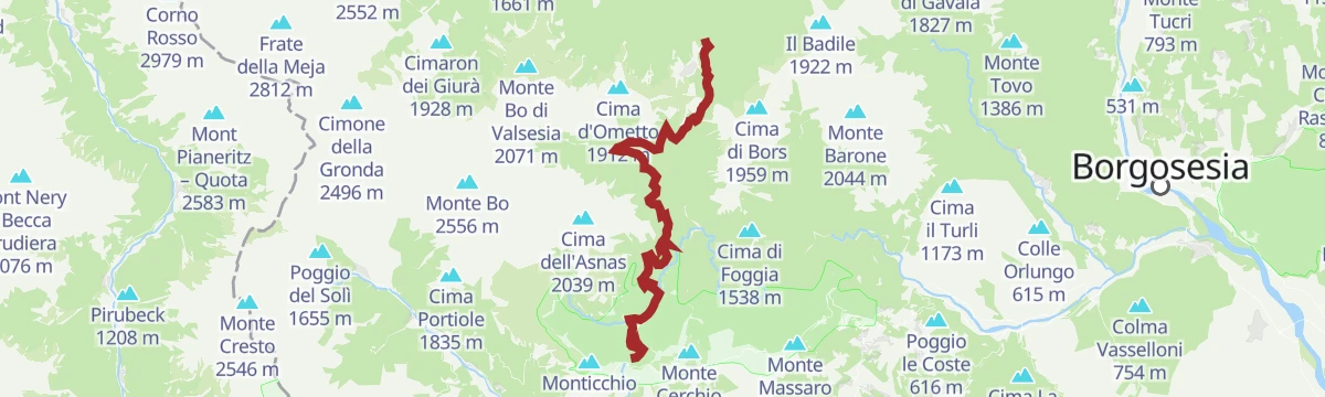
Ciclabile Alpe di Mera-Bielmonte
4.2 km away, in Scopello
A high link between the Valsesia and the Val Sessera, running over Bocchetto Sessera and the Bocchetta della Boscarola on the way to Bielmonte.
- 20.1 km
- Distance
- 952 m
- Ascent
- 2 h 40 min
- Duration
- 16
- Check-ins
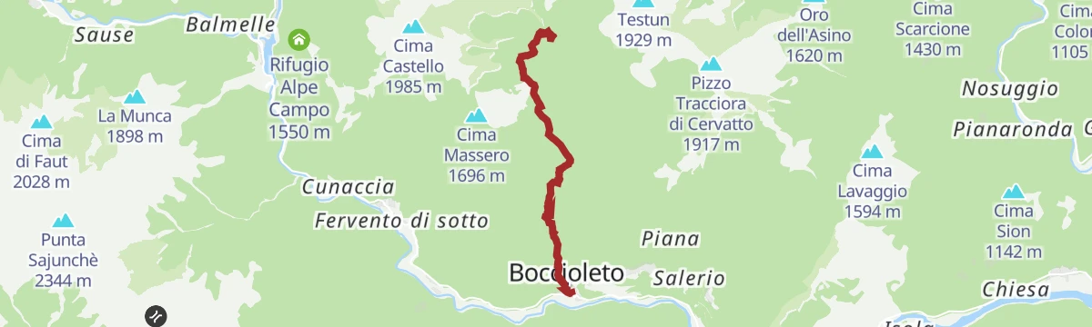
BOCCIOLETO
9.6 km away, in Boccioleto
One of the Valsesia art trails, climbing steeply from the village past Rifugio Solivo to Rifugio La Baita, with works of art all along the way.
- 5.0 km
- Distance
- 798 m
- Ascent
- 3 h 23 min
- Duration
- 3
- Check-ins
Rimasco
10.4 km away, in Boccioleto
A short, almost level walk on the valley floor in Alto Sermenza, passing the campsite by the small lake below the Alpe Campo slopes.
- 2.4 km
- Distance
- 21 m
- Ascent
- 1 h 23 min
- Duration
- 4
- Check-ins
CAMPERTOGNO, Fraz. Tetti
4.3 km away, in Campertogno
The usual line up to Punta Sivella from the Valsesia, a big climb by way of the wide pastures of Alpe Argnaccia.
- 8.7 km
- Distance
- 1 692 m
- Ascent
- 6 h 19 min
- Duration
RIVA VALDOBBIA, Fraz. Ca’ di Janzo
10.5 km away, in Alagna Valsesia
A climb from Ca' di Janzo to Cima Mutta, the first top on the ridge that divides Val Vogna from Val d'Otro.
- 3.2 km
- Distance
- 804 m
- Ascent
- 2 h 53 min
- Duration
- 18
- Check-ins
Cascata di Niel
13.1 km away, in Gaby
A short walk up to the Niel waterfall above Gaby, in the Walser side valley of the Lys.
- 1.3 km
- Distance
- 150 m
- Ascent
- 54 min
- Duration
Grande Traversata della Valsesia: Tappa 2 Alpe Toso
6.7 km away, in Rassa
Stage two of the Valsesia traverse, climbing steeply from Rassa to the Toso alp in the Sorba valley.
- 7.6 km
- Distance
- 2 150 m
- Ascent
- 11 h 37 min
- Duration
Col Mologna Grande
11.8 km away, in Gaby
The climb from Gaby in the Lys valley to the Col Mologna Grande, a pass on the crest towards the Valle Cervo.
- 7.2 km
- Distance
- 815 m
- Ascent
- 4 h 54 min
- Duration
- 10
- Check-ins
Pian du Beily
13.4 km away, in Gaby
An easy walk from Gaby to the pastures of Pian du Beily, on the Walser slopes of the lower Lys valley.
- 4.8 km
- Distance
- 262 m
- Ascent
- 1 h 52 min
- Duration
Grande Traversata della Valsesia: Tappa 3 Alpe Salei
6.7 km away, in Rassa
A long stage of the Valsesia traverse climbing to the Alpe Salei, high above Rassa.
- 11.5 km
- Distance
- 2 600 m
- Ascent
- 14 h 18 min
- Duration
- 16
- Check-ins
Col Mologna Piccola
11.8 km away, in Gaby
A climb from Gaby to the Col Mologna Piccola, the lower of the two passes leading over to the Biellese side.
- 7.4 km
- Distance
- 658 m
- Ascent
- 4 h 9 min
- Duration
- 8
- Check-ins
No routes of this kind in Piode yet.
The region's own picks

Featured route
Pista ciclopedonale della Valsesia: Tappa 4A Alpe Pianelle
A short branch of the Valsesia cycle and foot route, climbing to the Alpe Pianelle above Piode.
Planning a trip to Piode?
Everything else Piedmont has, in one place


Take Piode with you into the mountains
Every route on this page with 3D terrain, GPX navigation and offline maps — including the valleys with no signal.
Data sources
- Official website: visitvalsesiavercelli.it ↗
- Routes and highlights: Visitvalsesiavercelli, Visit Monterosa, Piemonte Outdoor, Monterosa Outdoor
- Published as open data by the tourist boards named above.
- Region summary generated from the board's own material.
