
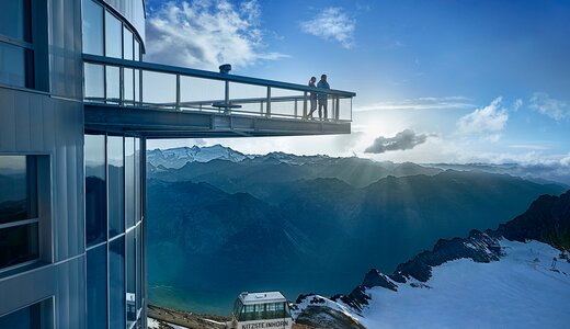
 Cable car
 Historic site







Curated by Zell am See-Kaprun Tourismus
Piesendorf
Farmland on the sunny north side of the Salzach near 790 m, on the lower slopes of the Kitzbühel Alps between Zell am See and Kaprun.
Photo: Wald1siedel licence
- 2Highlights
- 8Routes
- Featured summit · Schmittenhöhe
Highlights
13 from neighbouring places
Pinzgauer Hütte
A mountain hut on the ridge north of Piesendorf, on the walking route between Zell am See and the Glemmtal.
Erlebnisberg Naglköpfl Piesendorf
A small activity hill above Piesendorf in the Pinzgau, with a lift used by families in winter.
MK Berg Spielplatz
4 km away, in Kaprun
A mountain playground on the Maiskogel above Kaprun, set within the family ski and hiking area served by the Maiskogel lifts.
3K K-onnection
4.1 km away, in Kaprun
A tricable gondola opened in 2019 linking the Maiskogel with the Langwied basin, completing the lift connection from Kaprun village to the Kitzsteinhorn glacier.
Kaprun Museum
4.3 km away, in Kaprun
A museum in Kaprun devoted to the history of the village at the foot of the Kitzsteinhorn.
MK Maiskogelbahn
4.4 km away, in Kaprun
A gondola from the centre of Kaprun up the Maiskogel, the first stage of the village's direct lift line toward the Kitzsteinhorn.
Picknick am Maiskogel
4.4 km away, in Kaprun
Marked picnic spots on the Maiskogel above Kaprun, set along the family walking trails of the village's local mountain.
Panorama Plattform Maiskogel
4.5 km away, in Kaprun
A viewing platform on the Maiskogel above Kaprun, overlooking the village, the valley floor and the Kitzsteinhorn.
Familien- und Freizeitpark Maiskogel
4.5 km away, in Kaprun
A family leisure area at the foot of the Maiskogel in Kaprun, combining playgrounds, the alpine coaster and easy lift access.
Museum Kaprun
4.5 km away, in Kaprun
A local museum in Kaprun in the Pinzgau, presenting the history of the village and its valley.
Sigmund Thun Klamm Kaprun
4.6 km away, in Kaprun
A gorge on the Kapruner Ache below Kaprun, crossed by wooden walkways and steps on the way up towards the reservoirs.
Skywalk by Bründl Sports
4.6 km away, in Kaprun
A rooftop walkway at the Bründl Sports flagship store in Kaprun, a free viewpoint over the village toward the Kitzsteinhorn.
Edelsteinpark Niedernsill
4.8 km away, in Niedernsill
A gemstone-themed park at Niedernsill in the Pinzgau, laid out for families.
Badesee Luziapark Niedernsill
4.9 km away, in Niedernsill
A swimming lake in the Luzia park at Niedernsill, on the Salzach floor of the Pinzgau.
Oldtimer Museum Kaprun
5.2 km away, in Kaprun
A collection of classic cars and motorcycles in Kaprun, in the Pinzgau below the Kitzsteinhorn.
Nothing of this kind in Piesendorf.
Routes
12 from neighbouring places
Schmittenhöhe-Tour
A steep road climb past the Ketting Alm and the Ederhütte and over the Kettingtörl to the summit station, 1,200 m of ascent in 12 km.
- 12.0 km
- Distance
- 1 228 m
- Ascent
- 2 h 51 min
- Duration
- 124
- Check-ins
KA7 | Kitzsteinhorn-Uphill
A relentless uphill from Kaprun at 769 m to the Alpincenter and Gletschermühle near 2,450 m, by way of the Saulochalm and Salzburger Hütte.
- 23.4 km
- Distance
- 2 059 m
- Ascent
- 4 h 56 min
- Duration
- 74
- Check-ins
11 Rund um das Kitzbüheler Horn
A long road circuit right around the Horn, from the Glemmtal over the Pass Thurn and back through Kitzbühel on the way home.
- 115.9 km
- Distance
- 1 673 m
- Ascent
- 11 h 51 min
- Duration
- 56
- Check-ins
KA5 | Maiskogel-Tour
A long climb from the village to the Maiskogelalm and the Saulochalm, on the service road that follows the Maisilift chairs up the mountain.
- 24.5 km
- Distance
- 1 382 m
- Ascent
- 3 h 42 min
- Duration
- 31
- Check-ins
Radtour von Zell am See - Krimml
A long valley ride up the Salzach from Zell am See through Mittersill and Wald to Krimml, at the head of the Oberpinzgau.
- 67.1 km
- Distance
- 741 m
- Ascent
- 6 h 39 min
- Duration
- 24
- Check-ins
 Bergschmied 817 m
 Tagesspeicher Krimmler Ache 1 048 m
- Tourismusinfo Mittersill-Hollersbach-Stuhlfelden 786 m
- Einödhof 768 m
- Rechenmacherhütte 826 m
- Tourismusverband Wald-Königsleiten 875 m
- +5
IRONMAN 70.3. WM-Radstrecke
The road racing circuit around Zell am See, running out to Bruck in the Salzach valley and over the Filzensattel before returning to the lake.
- 89.9 km
- Distance
- 1 247 m
- Ascent
- 9 h 9 min
- Duration
- 17
- Check-ins
Hohe Tauern Bike Trail | ET07 Kaprun | Mühlbachtal | Uttendorf
A valley-and-hillside stage between Kaprun and Uttendorf, with the climb to the Schaunbergalm the high point above the Salzach floor.
- 35.6 km
- Distance
- 866 m
- Ascent
- 3 h 59 min
- Duration
- 5
- Check-ins
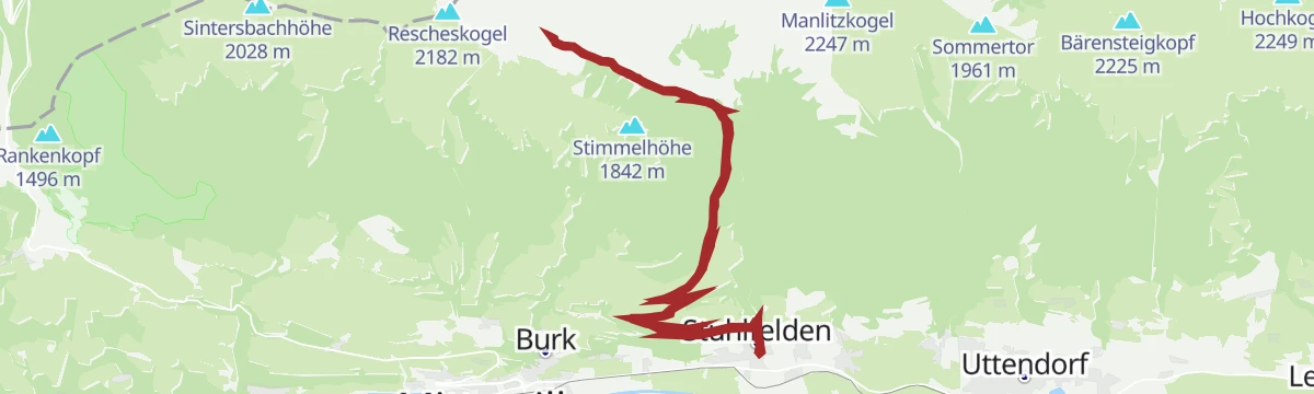
Tour von Piesendorf zur Pinzgauer Hütte
A short, steep climb from the valley floor at Piesendorf up to the Pinzgauer Hütte, gaining more than 900 m in barely 10 km.
- 10.2 km
- Distance
- 1 028 m
- Ascent
- 2 h 24 min
- Duration
- 5
- Check-ins
F2 | Maiskogel Trail
3.6 km away, in Kaprun
A lift-served descent above Kaprun, starting beside the gondola stations at around 1,560 m and running down past the Saulochalm.
- 3.7 km
- Distance
- 0 m
- Ascent
- 20 min
- Duration
- 14
- Check-ins
03 | Skitour Maiskogel
3.9 km away, in Kaprun
A ski-touring ascent of nearly 1,000 m on the Maiskogel above Kaprun, passing the Saulochalm on a route that can be started from the village itself.
- 5.0 km
- Distance
- 967 m
- Ascent
- 967 m
- Descent
- 3 h 8 min
- Duration
- 26
- Check-ins
KA4 | Schneckenberg-Tour
4.8 km away, in Kaprun
A loop from Kaprun up to the Klammsee, passing the Sigmund Thun-Klamm and the Klammseestüberl before dropping back to the village.
- 9.5 km
- Distance
- 225 m
- Ascent
- 1 h 3 min
- Duration
- 22
- Check-ins
04 | Schneekönigin am Kitzsteinhorn
8.9 km away, in Kaprun
A marked ski-touring route on the Kitzsteinhorn gaining about 470 m from the Alpincenter past the Krefelder Hütte, on secured ground within the glacier ski area.
- 2.0 km
- Distance
- 468 m
- Ascent
- 468 m
- Descent
- 1 h 28 min
- Duration
- 36
- Check-ins
Örgenbauernalm-Biberg Runde - Saalachtaler Panoramatour
10.7 km away, in Maishofen
A long round on forest roads above the Saalach valley, linking two alms at 1,320 and 1,440 m with a long descent to Maishofen.
- 40.1 km
- Distance
- 935 m
- Ascent
- 4 h 27 min
- Duration
- 12
- Check-ins
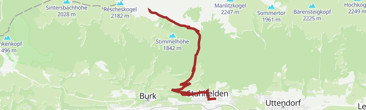
Stuhlfelden: Bürglhütte Biketour
13 km away, in Stuhlfelden
A steady forest-road climb from the ski lift above Stuhlfelden, gaining 900 m to the mountain hut at 1,701 m.
- 9.8 km
- Distance
- 895 m
- Ascent
- 1 h 29 min
- Duration
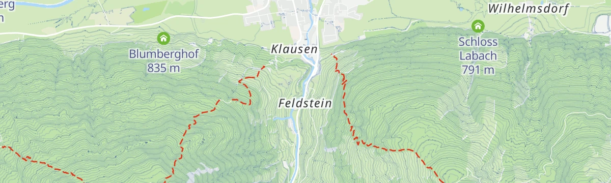
Stuhlfelden: Wasserfallweg - Lehnbergrunde
13.3 km away, in Stuhlfelden
A 5 km round on the slopes around Stuhlfelden, the oldest village in the Oberpinzgau, taking in a waterfall.
- 5.0 km
- Distance
- 145 m
- Ascent
- 1 h 32 min
- Duration
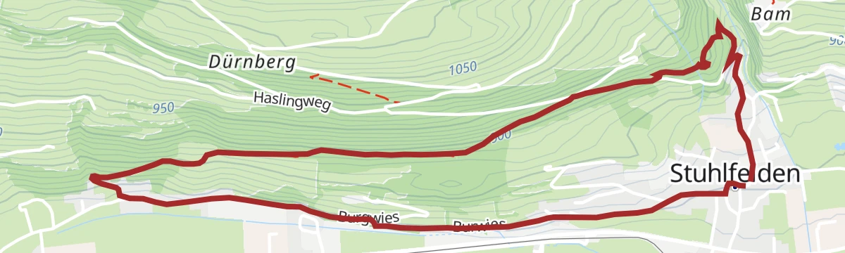
Stuhlfelden: Dürnbergrunde Wegnr. 75
13.3 km away, in Stuhlfelden
A 10 km round on the sunny side of Stuhlfelden, with 496 m of climbing and open views.
- 10.2 km
- Distance
- 521 m
- Ascent
- 3 h 47 min
- Duration
Stuhlfelden: Bürglhütte
13.4 km away, in Stuhlfelden
An 18.7 km walk up to the Bürglhütte, among the most traditional working huts in the area, with 900 m of ascent.
- 18.7 km
- Distance
- 920 m
- Ascent
- 6 h 45 min
- Duration
Staumauerklettersteig MOBO107
13.9 km away, in Kaprun
A via ferrata traversing the crest and face of the Mooserboden dam wall high above Kaprun, an unusual mix of concrete and rock with the reservoir far below.
- 740 m
- Distance
- 72 m
- Ascent
- 34 min
- Duration
- 34
- Check-ins
Gravel Bike Route: Maiskogel
3.7 km away, in Kaprun
A gravel climb from Kaprun past Jausenstation Unteraigen to the Saulochalm, following the Maisilift line and the Station Stanger up the slope.
- 16.3 km
- Distance
- 833 m
- Ascent
- 2 h 18 min
- Duration
- 25
- Check-ins
Stangerbauer-Tour
3.9 km away, in Kaprun
A short, steep climb out of Kaprun to the Gasthaus Stangerbauer at 1,090 m, passing Jausenstation Unteraigen on the way up.
- 3.7 km
- Distance
- 323 m
- Ascent
- 47 min
- Duration
- 20
- Check-ins
No routes of this kind in Piesendorf yet.
The region's own picks

 Featured route
Schmittenhöhe-Tour
A steep road climb past the Ketting Alm and the Ederhütte and over the Kettingtörl to the summit station, 1,200 m of ascent in 12 km.
Planning a trip to Piesendorf?
Everything else Salzburg (state) has, in one place


Take Piesendorf with you into the mountains
Every route on this page with 3D terrain, GPX navigation and offline maps — including the valleys with no signal.
Data sources
- Official website: zellamsee-kaprun.com ↗
- Routes and highlights: Zell am See-Kaprun Tourismus, Nationalpark, Nationalparkregion Mittersill, Kitzbühel Tourismus, Hochkönig Tourismus
- Published as open data by the tourist boards named above.
- Region summary generated from the board's own material.
