
 Viewpoint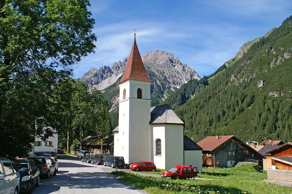
 Historic site



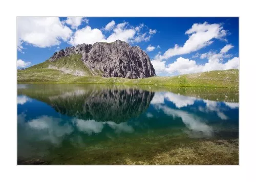
Curated by Lechtal Tourismus
Pfafflar
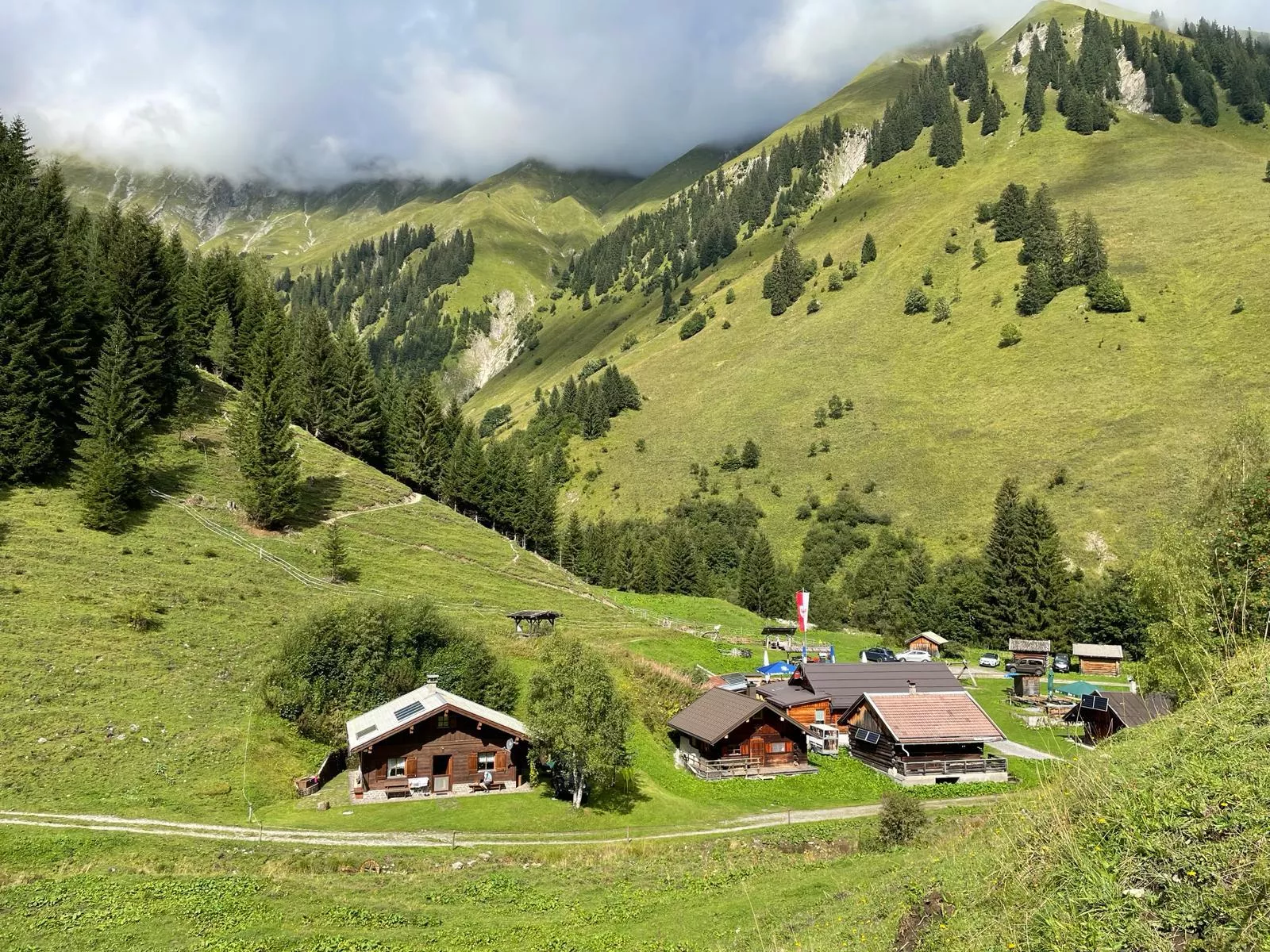
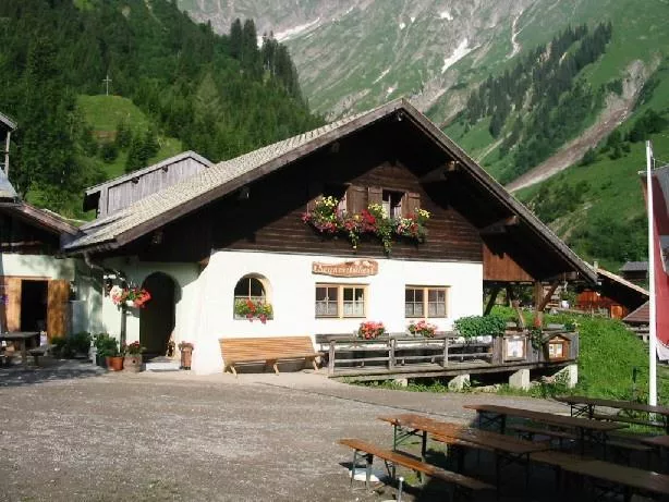
Two hamlets, Boden and Bschlabs, at about 1350 m on the Hahntennjoch pass road — a municipality of well under a hundred people in the Lechtaler Alps.
- 12Highlights
- 22Routes
- Featured summit · Namloser Wetterspitze
Highlights
3 from neighbouring places
Kraftplatz "Bei der Äscha"
One of the Lechtal's marked quiet places, a rest area called Bei der Äscha with benches and views over the mountain landscape.
Kirche Boden
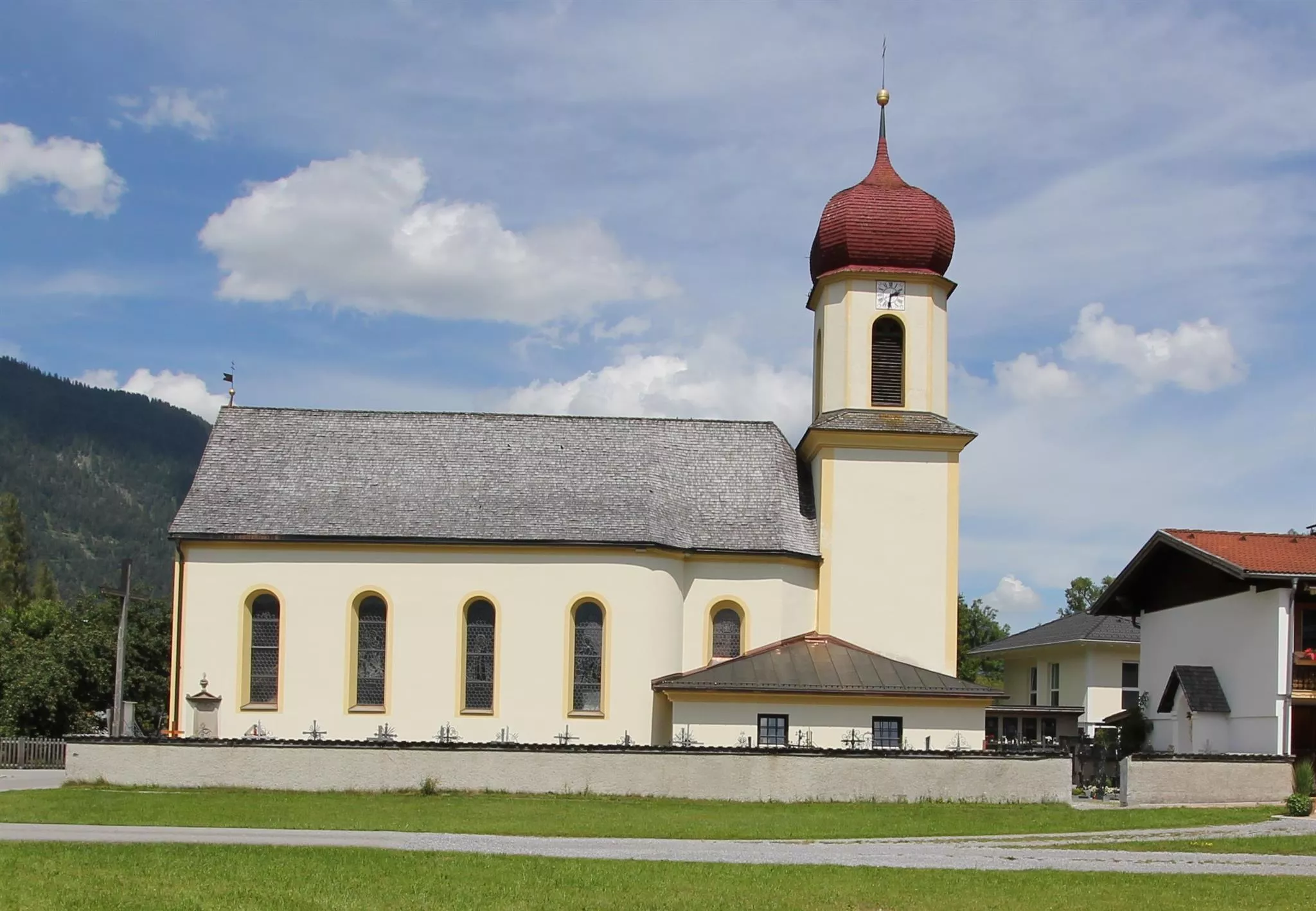
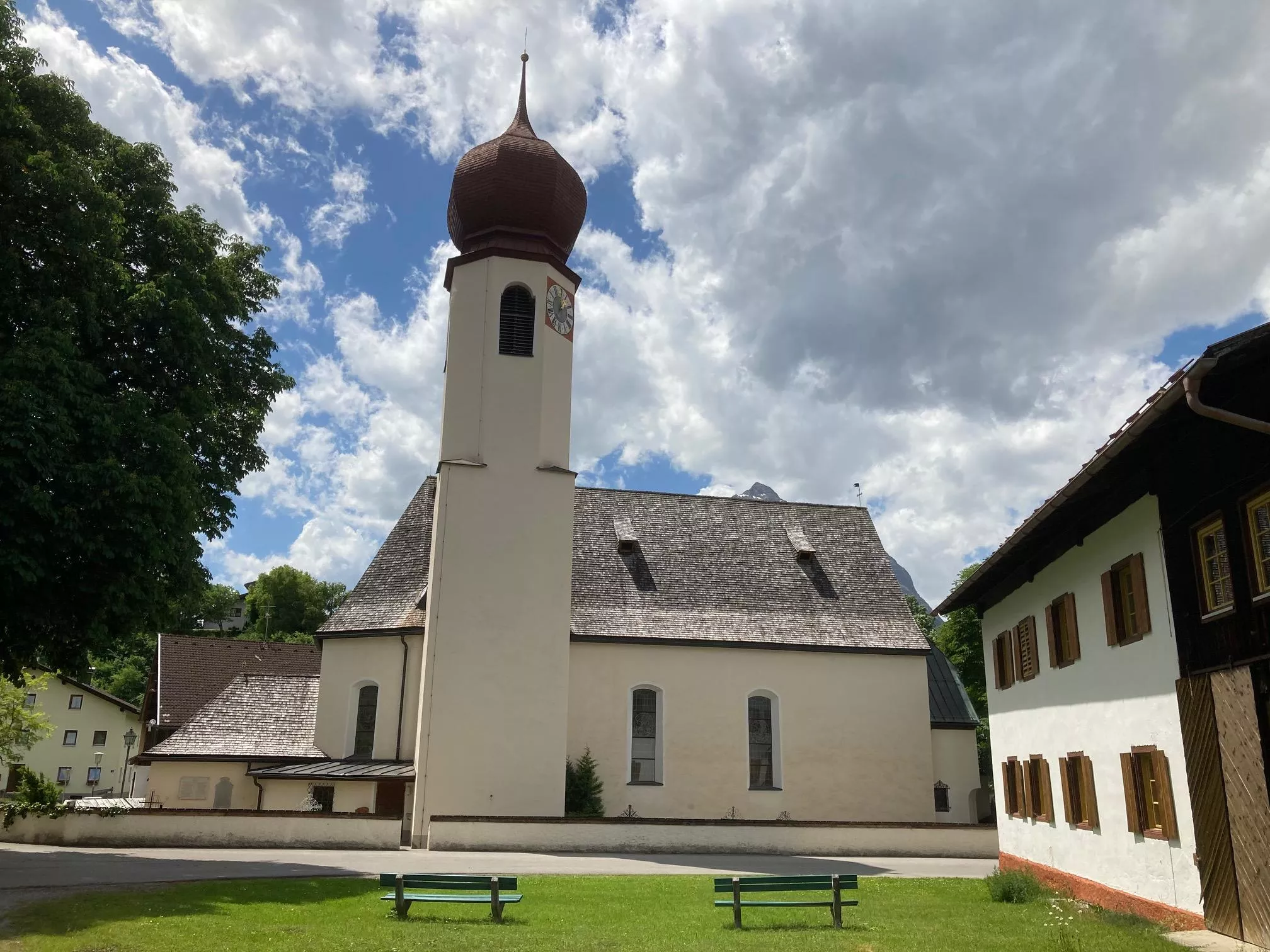
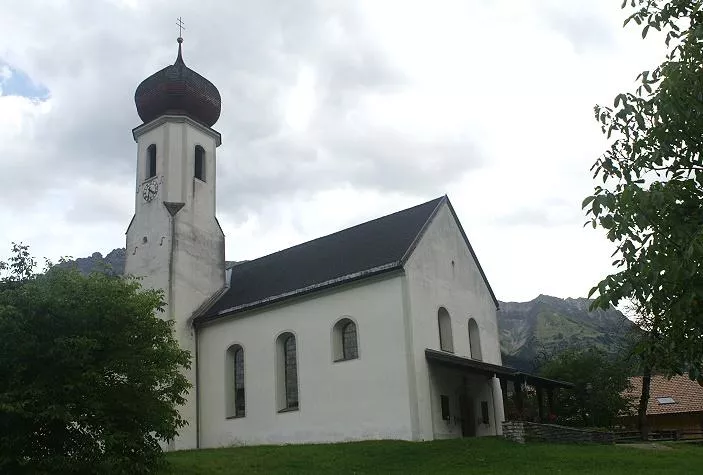
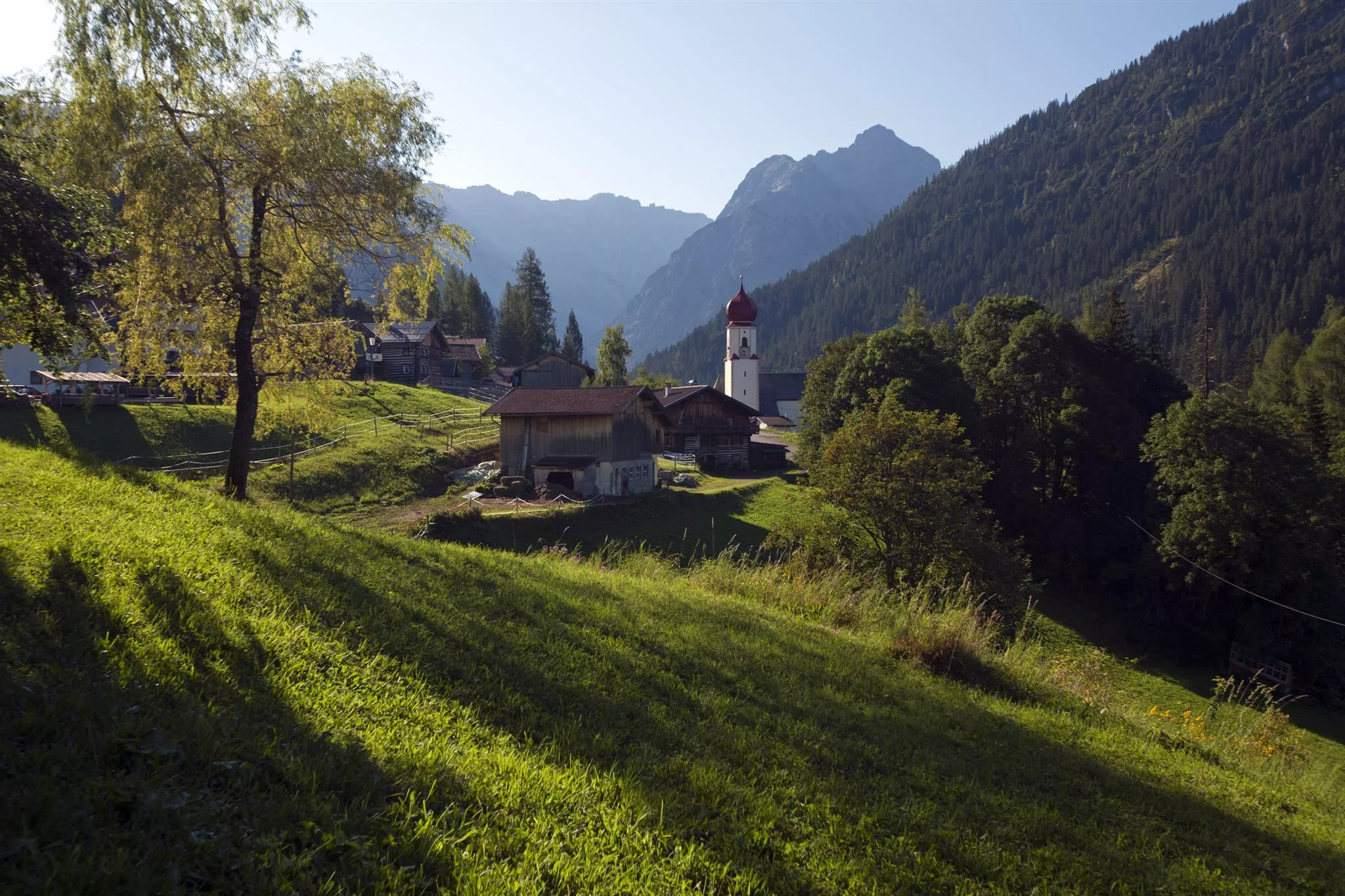
The church of Boden, a hamlet of Pfafflar in the Bschlabertal side valley, serving a small mountain community high above the Lechtal.
Kirche Bschlabs
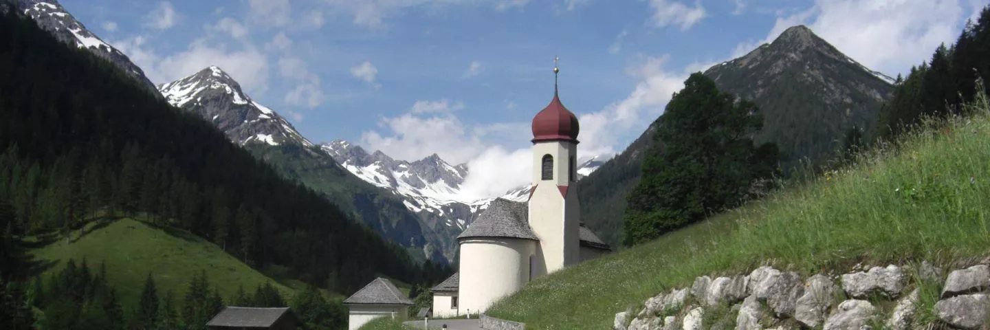
The village church of Bschlabs on the road toward the Hahntennjoch, a small pilgrimage church with churchyard in the side valley.
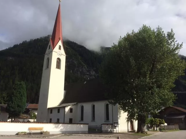
Kirche Elmen
The parish church of Elmen with its churchyard, the historic centre of the village at 976 m beside the wild Lech river.
Kirche Forchach
The parish church of Forchach at 910 m in the lower Lechtal, a historic churchyard church that can also be seen on guided visits.
Kirche Hinterhornbach
The village church of Hinterhornbach, serving the remote community at 1,101 m in a dead-end valley beneath the Allgäu Alps.
Kirche Stanzach
The village church of Stanzach in the Tyrolean Lechtal, standing with its churchyard at 940 m near the mouth of the Namlos valley.
Kirche Vorderhornbach
The village church of Vorderhornbach at 973 m, the historic centre of a small Lechtal community at the entrance to the Hornbach valley.
Latschenöl Brennerei
A small distillery near Pfafflar at over 1,500 m where oil is distilled from dwarf mountain pine; visitors can tour the stills and buy the products.
Pestkapelle Grießau
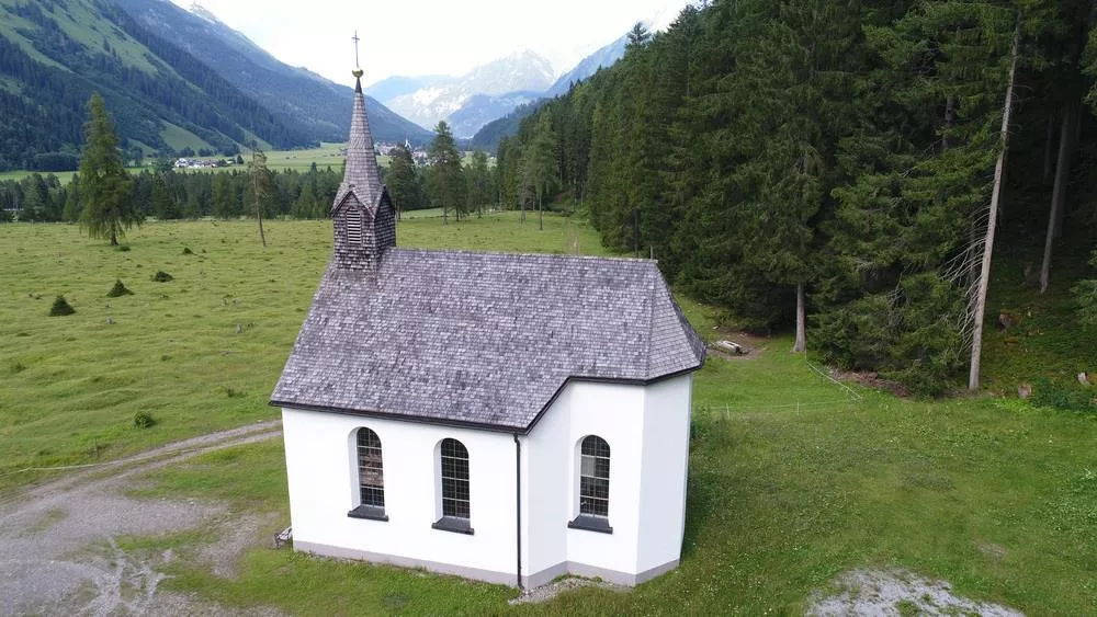
A plague chapel in the hamlet of Grießau near Häselgehr, a small memorial building recalling the epidemic years in the Lechtal.
Gasthof Bergheimat
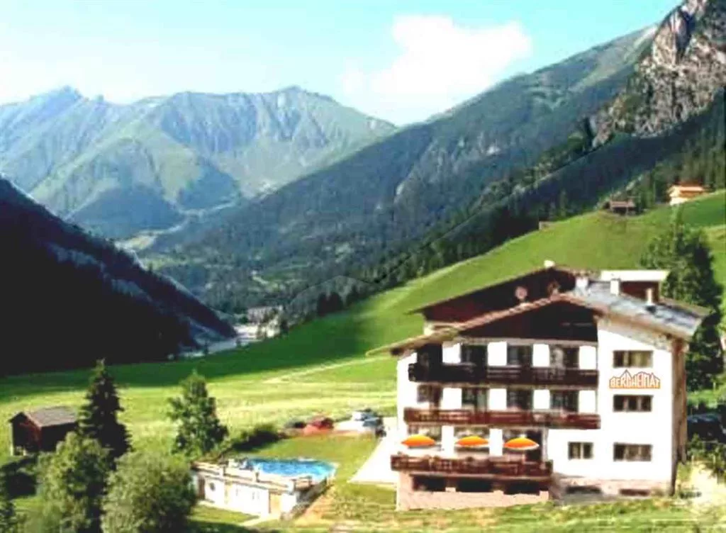
A mountain inn in the high hamlet area of Pfafflar at over 1,500 m, serving Austrian, regional and Indian dishes to walkers and day visitors.
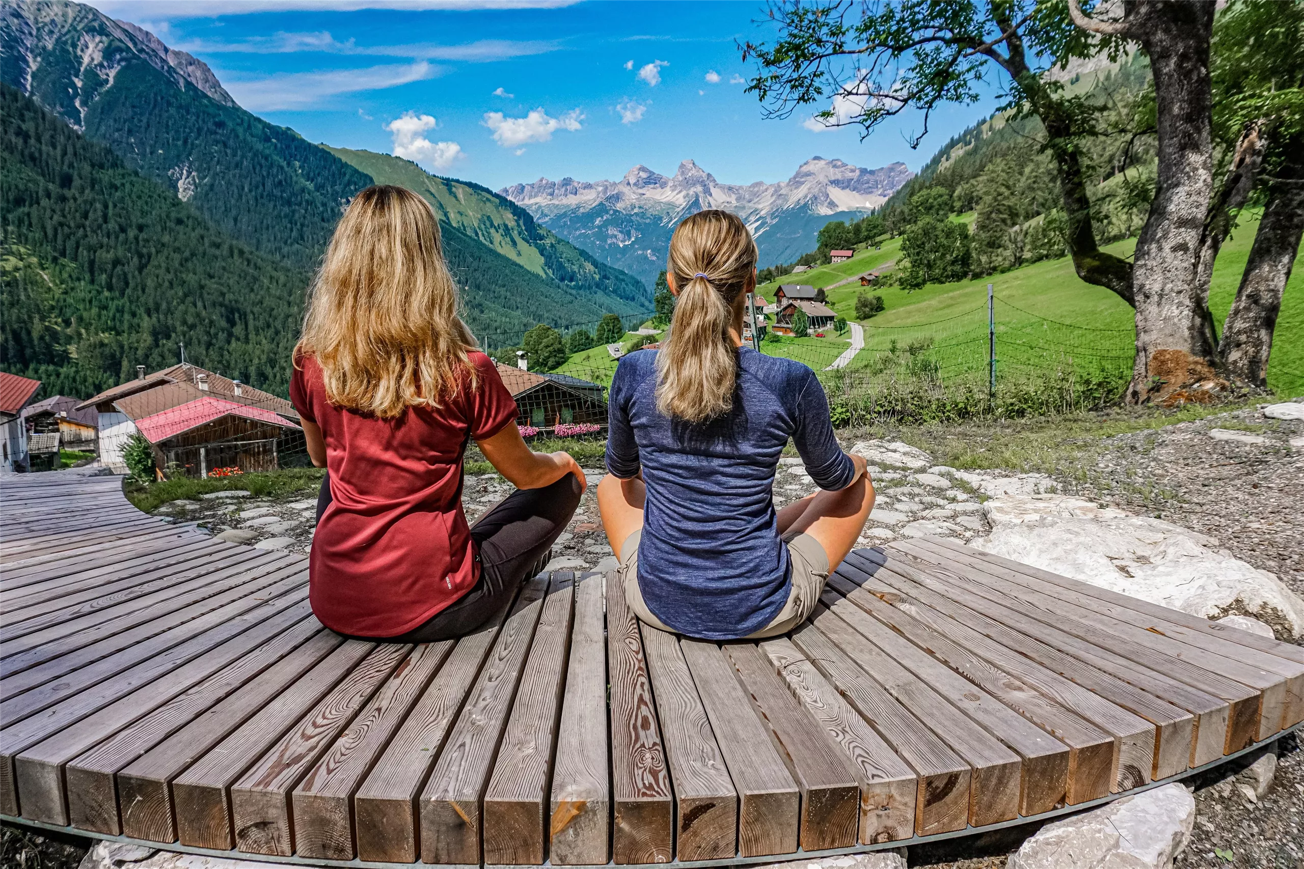
Ort der Stille
A quiet resting place and biotope near Pfafflar, laid out as a spot for contemplation amid the high meadows of the Lechtal side valleys.
Michls Fallerscheinstube 1.302 m
5.4 km away, in Stanzach
An alm restaurant at 1,302 m in Fallerschein, a historic log-hut village above Stanzach, serving regional dishes in the summer months.
Sennerstüberl Fallerschein 1.302 m
5.4 km away, in Stanzach
An alm parlour at 1,302 m in Fallerschein, the old log-hut settlement above Stanzach, serving regional dishes to summer visitors.
Hanauer Hütte 1.922 m
5.5 km away, in Imst
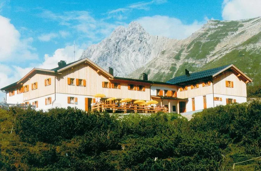
An alpine club refuge at 1,922 m above the Pfafflar area, a base for the rock summits and lake basins of the eastern Lechtal Alps.
Nothing of this kind in Pfafflar.
Routes
Pfafflar
An easy 4.6 km walk from the Maldon Alm down to the hamlet of Pfafflar near the Hahntennjoch.
- 4.6 km
- Distance
- 172 m
- Ascent
- 1 h 35 min
- Duration
- 21
- Check-ins
Adlerweg-Etappe 19: Anhalter Hütte – Hanauer Hütte
An Adlerweg stage from the Anhalter Hütte over the Steinjöchle and Hahntennjoch to the Hanauer Hütte, passing the striped timber houses of Pfafflar; the Falschkogel can be added from the pass.
- 12.3 km
- Distance
- 730 m
- Ascent
- 5 h 19 min
- Duration
- 48
- Check-ins
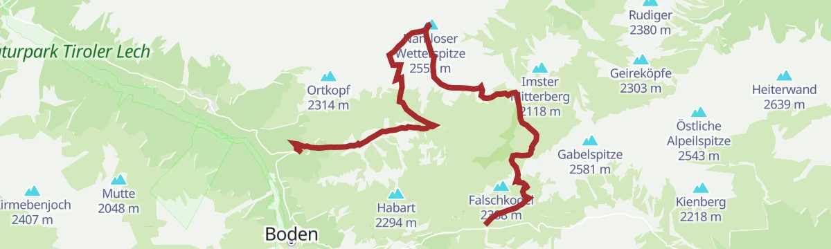
Namloser Wetterspitze
Demanding round from the Hahntennjoch road over the Steinjöchle and past the Anhalter Hütte to the Namloser Wetterspitze, with 1,621 m of climbing.
- 14.9 km
- Distance
- 1 624 m
- Ascent
- 8 h 50 min
- Duration
- 36
- Check-ins
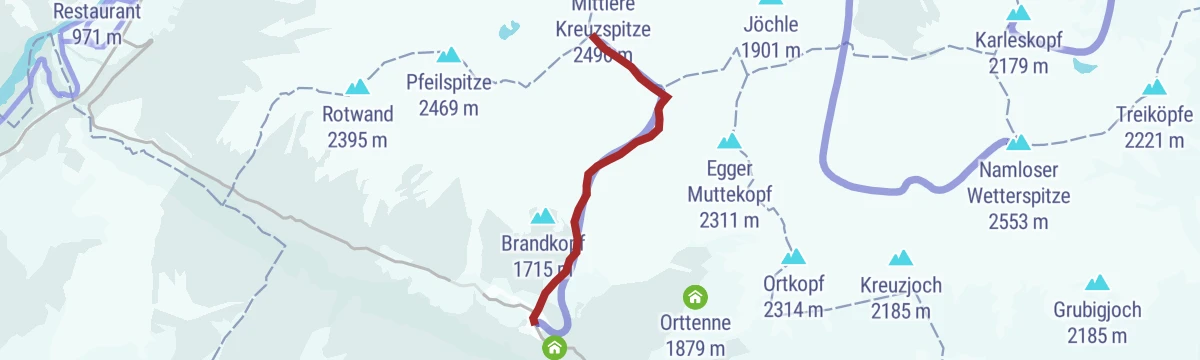
Skitour auf die Bortigscharte & Bschlaber Kreuzspitze
Half-day ski objective on south-facing ground, topping out at a notch that faces the big flanks of the Kreuzspitzen.
- 3.4 km
- Distance
- 1 026 m
- Ascent
- 0 m
- Descent
- 2 h 37 min
- Duration
- 2
- Check-ins
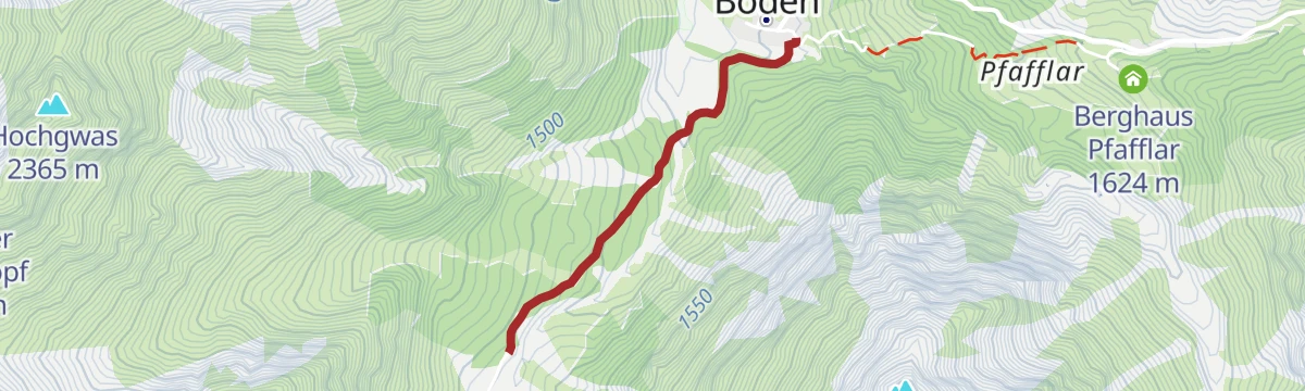
Boden - Weilerrunde Pfafflar
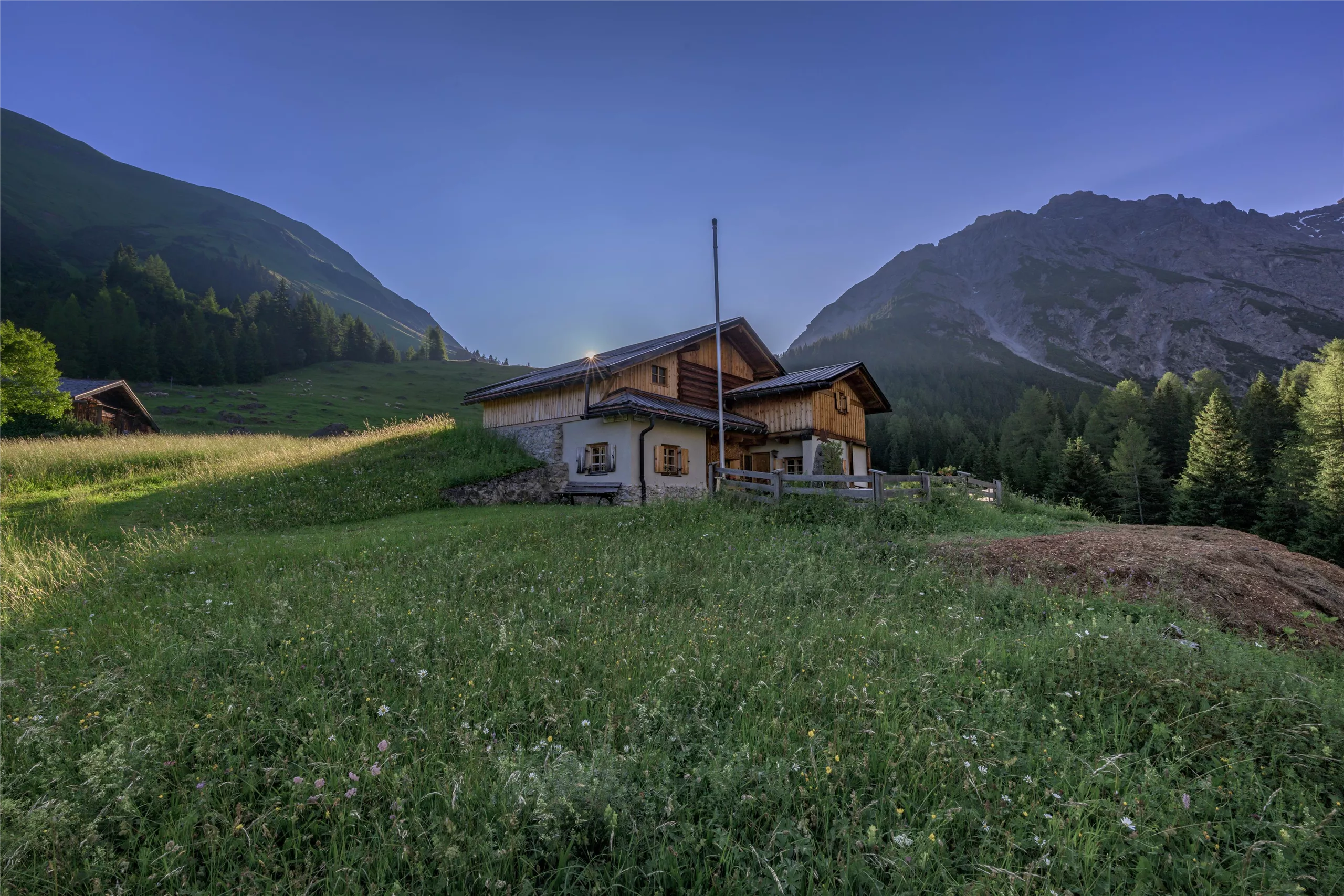
Short round from Boden up to the old hamlet of Pfafflar, which feels like a step into the past, with Leos Alm and the Berghaus for a stop.
- 3.4 km
- Distance
- 282 m
- Ascent
- 1 h 48 min
- Duration
- 14
- Check-ins
Anhalter Hütte (Plötzig)
From the Hahntennjoch to the Anhalter Hütte, then down through the Plötzigtal to Boden; 9.3 km with 347 m of climbing.
- 9.2 km
- Distance
- 358 m
- Ascent
- 3 h 52 min
- Duration
- 23
- Check-ins
 Anhalter Hütte 2 038 m
 Hahntennjoch 1 894 m
- Steinjöchle 2 198 m
 Kromsee 1 995 m
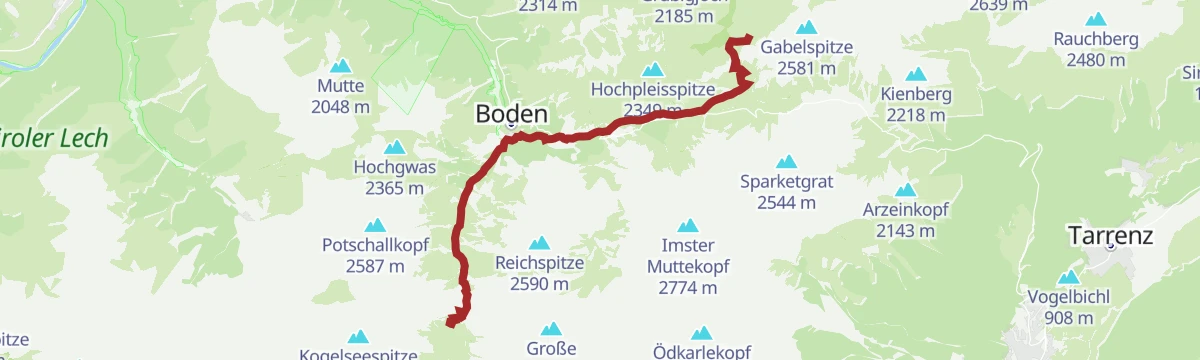
Boden-Hanauer Hütte-Kogelseescharte-Gramais
A big day linking Boden and Gramais: up to the Hanauer Hütte, over the Kogelsee Scharte past the Unterer Parzinnsee, and down into the far valley.
- 11.3 km
- Distance
- 1 138 m
- Ascent
- 7 h 2 min
- Duration
- 21
- Check-ins
- Hanauer Hütte 1 922 m
- Kogelsee Scharte 2 497 m
- Südliche Bockkarscharte 2 432 m
- Unterer Parzinnsee 2 162 m
Anhalter Hütte - Bushaltestelle Plötzigtal
The descent west from the Anhalter Hütte through the Plötzigtal to a bus stop on the Hahntennjoch road, with buses back to Elmen; check the timetable first.
- 6.2 km
- Distance
- 41 m
- Ascent
- 2 h 12 min
- Duration
- 9
- Check-ins
Hahntennjoch - Anhalter Hütte - Plötzigtal
An 8.9 km route from the Hahntennjoch to the Anhalter Hütte and on into the Plötzigtal, passing the Steinjöchle and Kromsee.
- 8.9 km
- Distance
- 347 m
- Ascent
- 3 h 47 min
- Duration
- 23
- Check-ins
- Anhalter Hütte 2 038 m
- Hahntennjoch 1 894 m
- Steinjöchle 2 198 m
- Kromsee 1 995 m
Boden - Steinseehütte
Demanding route from Boden over the Vordere Dremelscharte to the Steinseehütte, whose surrounding crags and lake make it a favoured base for climbing courses.
- 8.4 km
- Distance
- 1 065 m
- Ascent
- 4 h 58 min
- Duration
- 19
- Check-ins
Bschlabs - Rundweg Martinskapelle
Family loop from Bschlabs to the Martinskapelle chapel, an easy round with wide views across the Bschlabertal.
- 4.3 km
- Distance
- 137 m
- Ascent
- 1 h 20 min
- Duration
- 3
- Check-ins
Boden - Hanauer Hütte
The standard approach from Boden to the Hanauer Hütte, a popular base in the Lechtaler Alps, climbing 550 m from the roadhead.
- 4.7 km
- Distance
- 550 m
- Ascent
- 2 h 16 min
- Duration
- 11
- Check-ins
Boden - Fundaistal - Hanauer Hütte -Boden
Long loop from Boden through the Fundaistal and over the Galtseitenjoch to the Hanauer Hütte, returning on the hut path — a full mountain day.
- 15.1 km
- Distance
- 1 118 m
- Ascent
- 7 h 20 min
- Duration
- 13
- Check-ins
Boden -Angerletal Runde
Short, easy loop from Boden into the mouth of the Angerletal and back — a quiet leg-stretcher in the Pfafflar high valley.
- 2.8 km
- Distance
- 109 m
- Ascent
- 54 min
- Duration
Hanauer Hütte
Ascent from Boden to the popular refuge at the head of the valley, roughly 600 m of steady climbing amid the peaks of the Lechtaler Alps.
- 5.2 km
- Distance
- 574 m
- Ascent
- 2 h 25 min
- Duration
- 11
- Check-ins
Bschlabs - Zwieslen
A very short winter round from Bschlabs to the hamlet of Zwieseln and back — an easy snow-track stroll for a spare hour.
- 1.7 km
- Distance
- 81 m
- Ascent
- 31 min
- Duration
Weilerrunde Bschlabs - Rundweg Martinskapelle
A circuit of the scattered hamlets that make up Bschlabs — Taschach, Egg and Zwieseln among them — joined with the chapel round above the village.
- 7.4 km
- Distance
- 237 m
- Ascent
- 2 h 19 min
- Duration
- 3
- Check-ins
Bschlabs Schlechtwegrunde
Modest loop around Bschlabs past the Kreuzspitzhütte — an easy round for poor-weather days on the village's lower paths.
- 3.6 km
- Distance
- 156 m
- Ascent
- 1 h 18 min
- Duration
Bschlaber Höhenweg
A balcony path connecting Bschlabs and Boden high along the Bschlabertal, with steady views into the valley below and the peaks above.
- 8.5 km
- Distance
- 348 m
- Ascent
- 2 h 49 min
- Duration
Bschlabs zur Martinskapelle
Sunny, level path from Bschlabs to the Martinskapelle chapel, surfaced well enough for pushchairs and wheelchairs.
- 1.8 km
- Distance
- 21 m
- Ascent
- 30 min
- Duration
Bschlabs - Rundweg Brandkopf
Varied loop from Bschlabs over the Brandkopf to the old hay barns on its slopes, passing the Kreuzspitzhütte on the way round.
- 6.4 km
- Distance
- 364 m
- Ascent
- 2 h 37 min
- Duration
Boden zum Angerleboden
A short, easy walk from Boden up to the Angerleboden meadows — barely two kilometres, gaining just under 100 m.
- 1.8 km
- Distance
- 99 m
- Ascent
- 36 min
- Duration
No routes of this kind in Pfafflar yet.
The region's own picks

Featured route
Pfafflar
An easy 4.6 km walk from the Maldon Alm down to the hamlet of Pfafflar near the Hahntennjoch.
Planning a trip to Pfafflar?
Everything else Tyrol has, in one place


Take Pfafflar with you into the mountains
Every route on this page with 3D terrain, GPX navigation and offline maps — including the valleys with no signal.
Data sources
- Official website: lechtal.at ↗
- Routes and highlights: Lechtal Tourismus, Imst Tourismus
- Published as open data by the tourist boards named above.
- Region summary generated from the board's own material.
