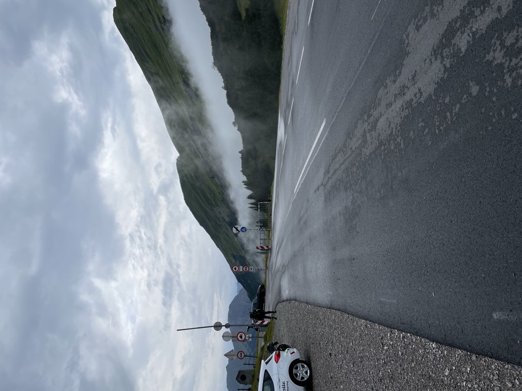
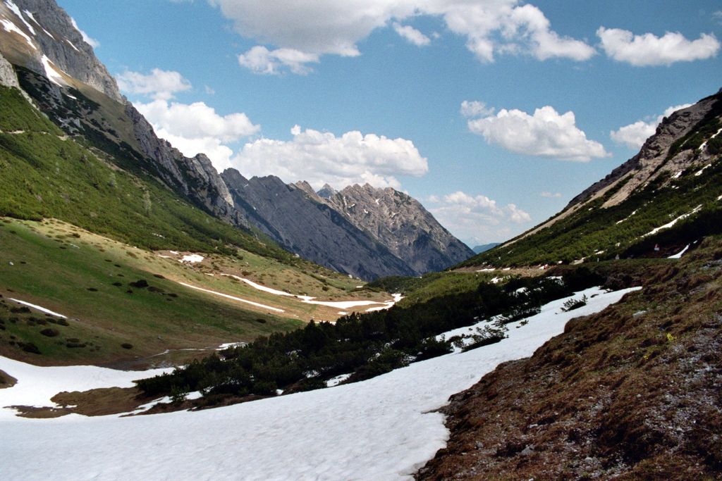
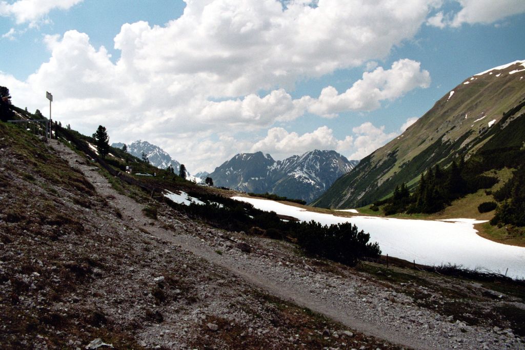
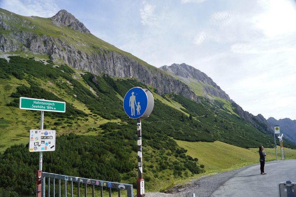
Hahntennjoch (el. 1894 m.) is a high mountain pass in the Austrian Alps in the Bundesland of Tyrol. It connects the upper valley of the Inn with the Lech valley. The road leads from Imst to Elmen, a distance of 29 km. It is popular with motorcyclists and cyclists. It is a much shorter route than the Fern Pass or the Flexen Pass over the Arlberg. The road is winding and steep, with grades up to 18.9 percent and is closed to traffic over 14 metric tons. The road is generally closed from November to April. The pass is prone to avalanches, falling rocks, and mudslides. In 2004, an automatic system was installed that closes the road in case of blockage.
We use GPS information embedded into the photo when it is available.
3D mountains overlay
Adjust mountain panorama to perfectly match your photos because recorded by camera photo position might be imprecise.
Move tool
Rotate tool
Zoom
More customization
Choose which peak labels should make into the final photo and what photo title should be.
Next
Photo Location
Satellitte
Flat map
Relief map
Latitude
Longitude
Altitude
OR
Latitude
°'''
Longitude
°'''
Apply
Register Peak
Peak Name
Latitude
Longitude
Altitude
Register
Teleport
PeakVisor
This 3D model of Sagarmatha National Park in Nepal was made using the PeakVisor app topographic data. The mobile app features higher precision models worldwide, more topographic details, and works offline. Download PeakVisor maps today.
Download OBJ model
PeakVisor
The download should start shortly. If you find it useful please consider supporting the PeakVisor app.
PeakVisor for iOS and Android
Be a superhero of outdoor navigation with state-of-the-art 3D maps and mountain identification in the palm of your hand!