




















Curated by APT Valli di Sole, Peio e Rabbi
Peio
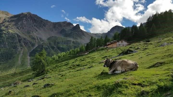
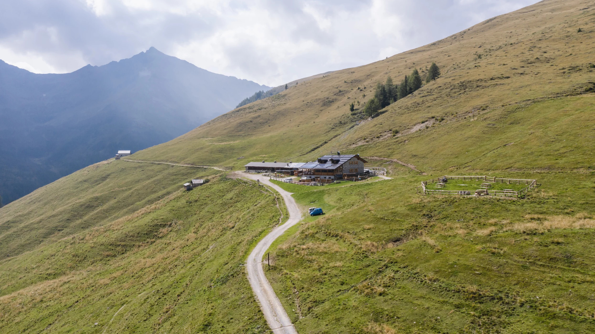
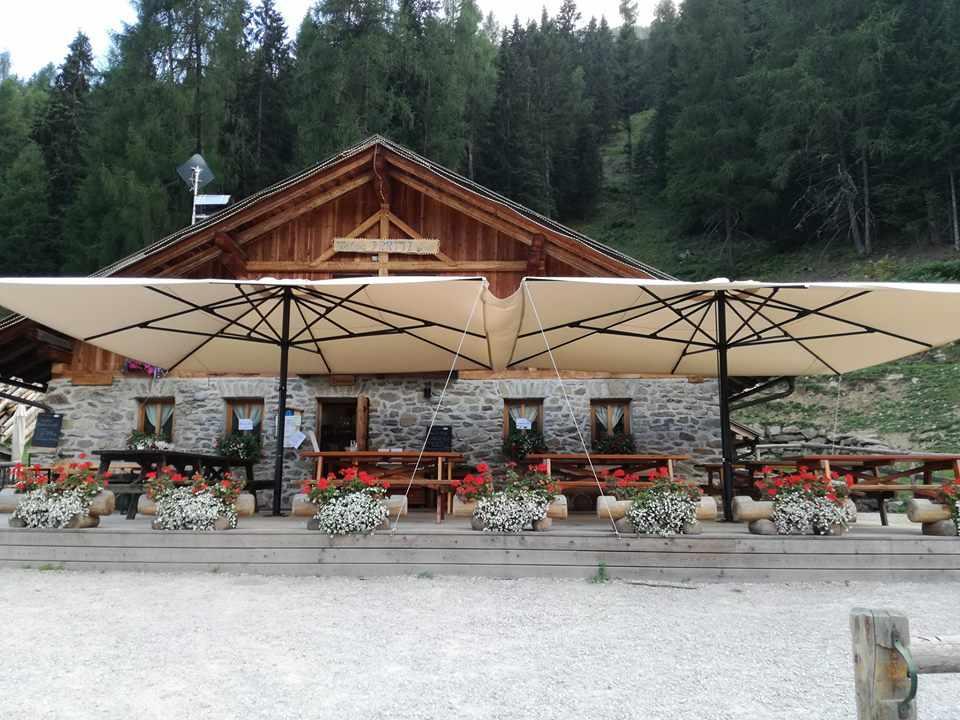
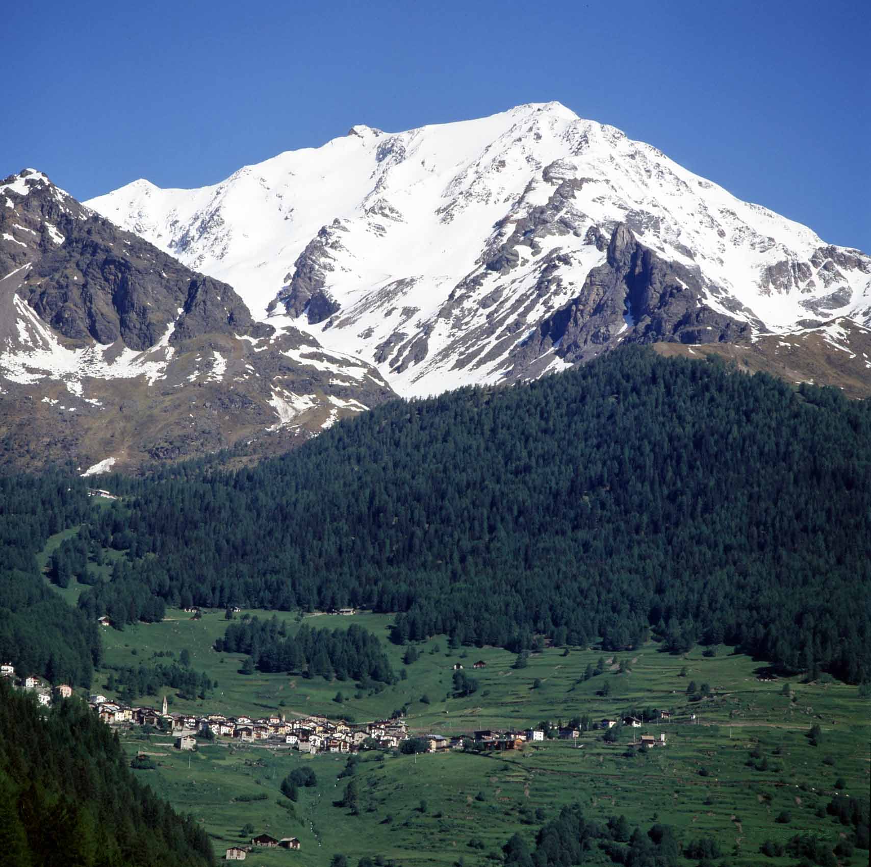
A Val di Sole comune of Cogolo and Peio Fonti, with the Pejo lifts and the Cevedale glaciers in the Stelvio park.
Photo: The original uploader was Giuliano Bernardi at Italian Wikipedia . · GFDL licence
- 9Highlights
- 48Routes
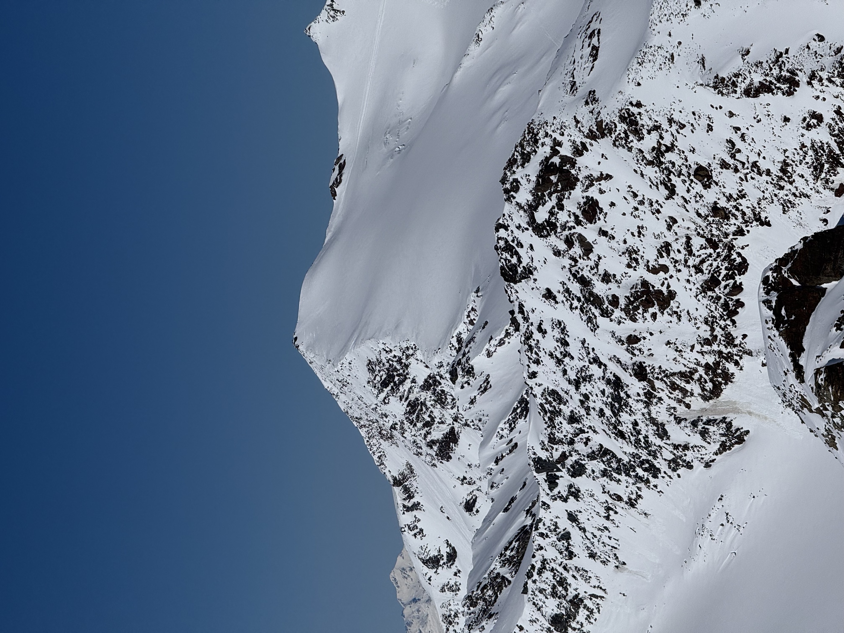
- Featured summit · Monte Cevedale
Highlights
All 9 from neighbouring places
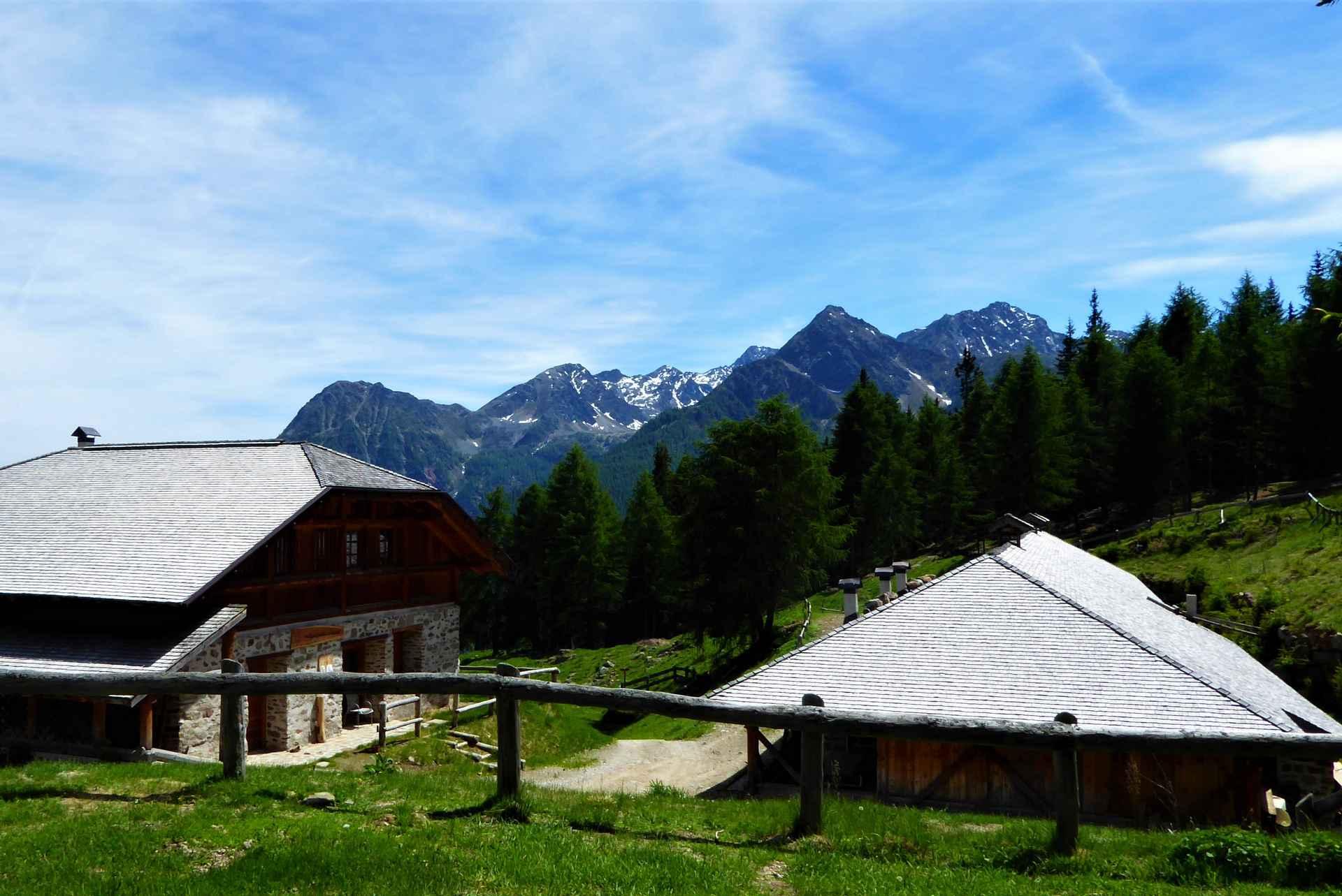
Malga Maleda
8.6 km away, in Rabbi
The Stablaz Alta pasture, also called Maleda Alta, high on the eastern side of the Val di Rabbi.
Malga Monte Sole
9.7 km away, in Rabbi
A dairy pasture on the sunny side of the Val di Rabbi, in the Stelvio national park.
Malga Fratte
10.7 km away, in Rabbi
A dairy pasture in the lower Val di Rabbi, on the paths into the Stelvio national park.
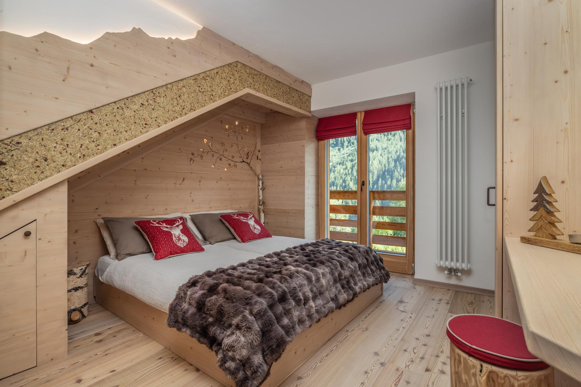
Bambi Chalet
11.9 km away, in Rabbi
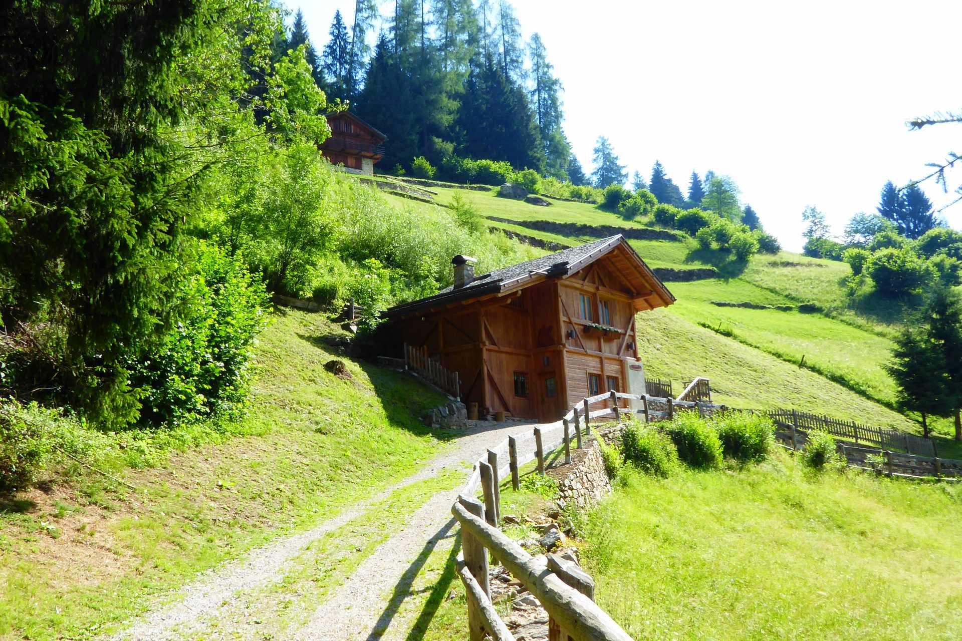
A converted hay barn in the Val di Rabbi, kept as it was built, in the Stelvio national park.
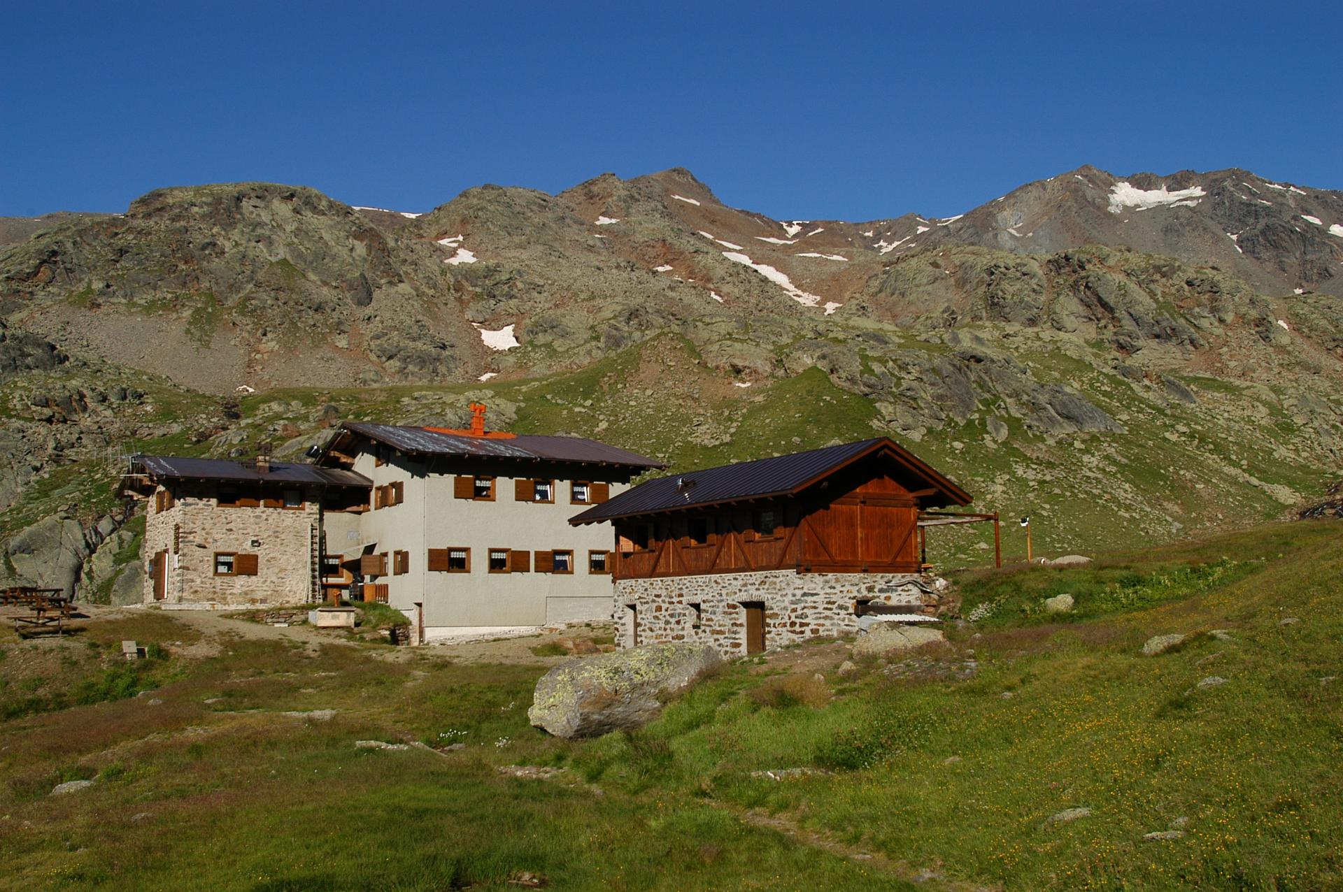
Rifugio Silvio Dorigoni
12.3 km away, in Rabbi
A CAI hut in the Val Saent, the wildest side valley of Rabbi, below the Cevedale ridge.
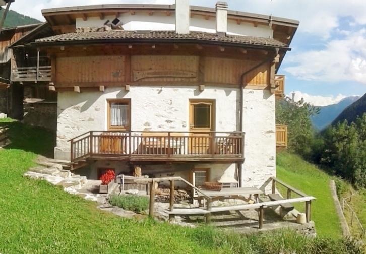
MAS DEL MEZDI'
12.6 km away, in Rabbi
A detached chalet at Somrabbi in the Val di Rabbi, inside the Stelvio national park.
Baita L'Anda
14.2 km away, in Rabbi
A restored farmhouse hut at Piazzola di Rabbi, at 1,300 m in the Stelvio national park.
Malga Caldesa Bassa
14.9 km away, in Rabbi
A summer dairy pasture in the Val di Rabbi, open to walkers in the Stelvio national park.
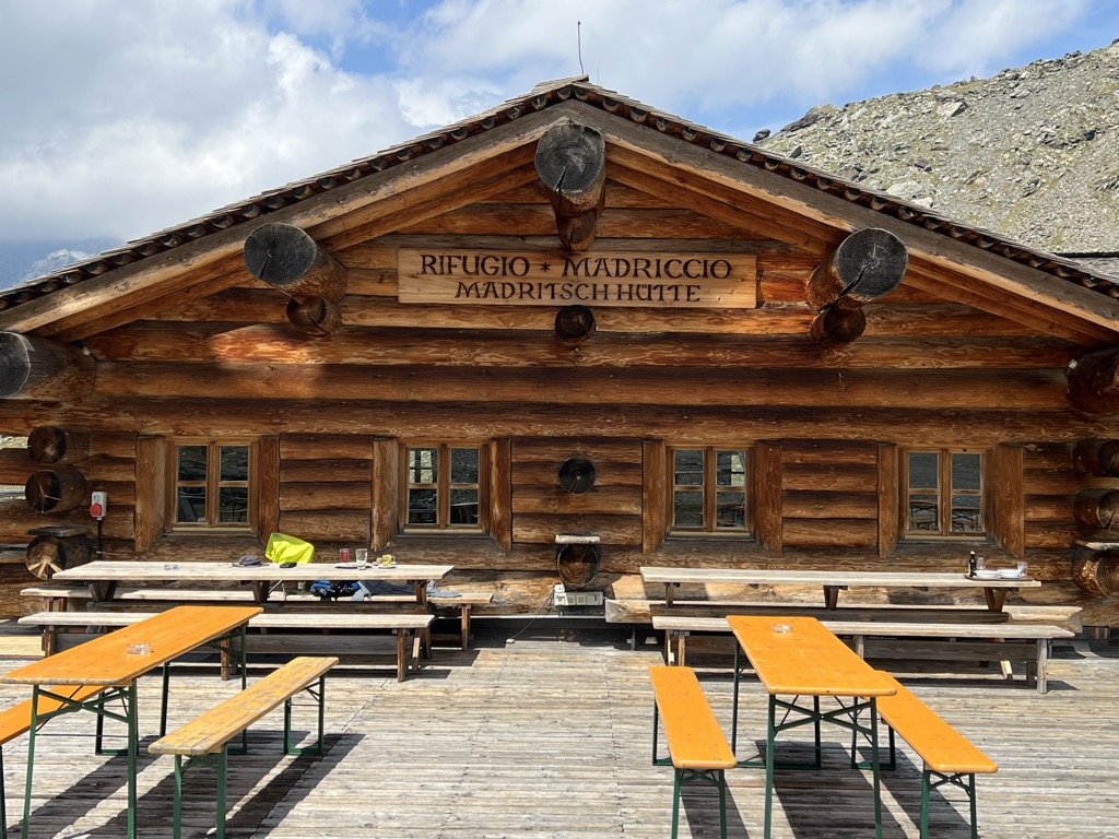
Rifugio Madriccio
13.5 km away, in Stelvio/Stilfs
A refuge on the pastures below the Passo Madriccio above Solda, on the traverse under the Ortler and Gran Zebrù.
Sterzing, Pfitsch und Freienfeld
Nothing of this kind in Peio.
Routes
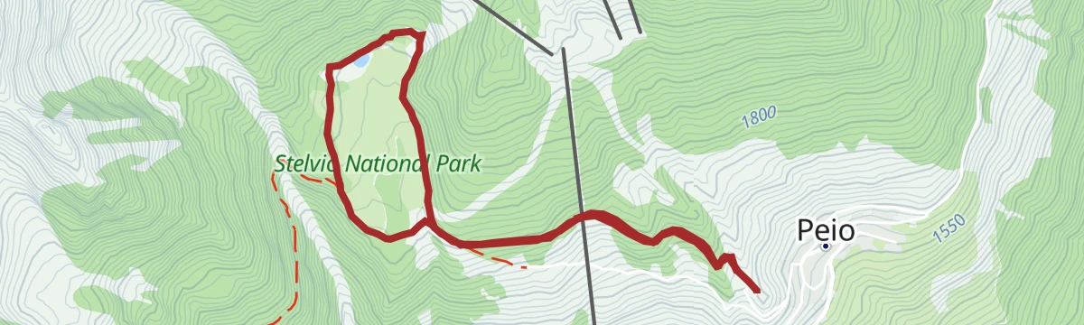
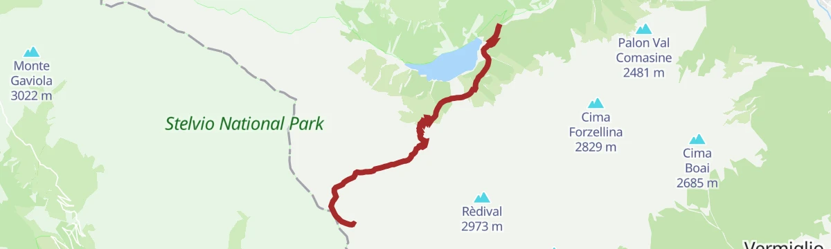
Malga Palù
A short walk to the Palù dairy beside the Pian Palù reservoir, inside the Stelvio park.
- 3.6 km
- Distance
- 21 m
- Ascent
- 1 h 2 min
- Duration
- 16
- Check-ins
Open route APT Valli di Sole, Peio e RabbiCevedale Refuge «Guido Larcher»
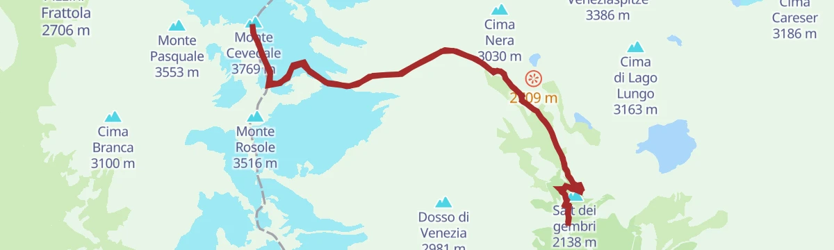
The approach to the Larcher hut in the Stelvio park, base for the Cevedale and the Vioz, with the lake circuit on path 123 starting from the door.
- 10.4 km
- Distance
- 827 m
- Ascent
- 5 h 20 min
- Duration
- 71
- Check-ins
 Salt dei gembri 2 138 m
 Rifugio Guido Larcher al Cevedale 2 608 m
- Malga Mare 2 031 m
- Malga Prabon 1 793 m
 Vasca Malga Mare 1 955 m
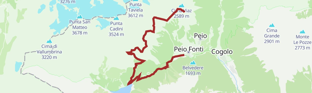
Open route APT Valli di Sole, Peio e RabbiMonte Vioz and Punta Linke
A glacier crossing in the Stelvio park linking the summit of Monte Vioz to Punta Linke, site of one of the highest Austro-Hungarian positions of the First World War.
- 11.6 km
- Distance
- 1 446 m
- Ascent
- 8 h 33 min
- Duration
- 100
- Check-ins
- Monte Vioz 3 645 m
- Cima Viaz 2 589 m
- Punta Linke 3 630 m
- Rifugio Mantova al Vioz 3 535 m
- Rifugio Doss dei Cembri / Doss dei Gembri 2 316 m
Open route APT Valli di Sole, Peio e RabbiSki mountaineering at Malga Saline
A ski tour out of Peio, the highest inhabited village in Trentino, climbing to Malga Saline above the Val de la Mare and on into the Saroden basin.
- 7.4 km
- Distance
- 623 m
- Ascent
- 511 m
- Descent
- 2 h 36 min
- Duration
- 34
- Check-ins
Open route APT Valli di Sole, Peio e RabbiEpic Trail Great War Short N°705
A high mountain-bike route over the Passo del Tonale to the Bozzi hut and the Montozzo tarns.
- 53.2 km
- Distance
- 2 196 m
- Ascent
- 6 h 48 min
- Duration
- 159
- Check-ins
 Passo del Tonale 1 883 m
- Rifugio Angelino Bozzi 2 478 m
- Laghetti di Montozzo 2 471 m
- Il Rododendro 1 880 m
- Bar Cadì 1 883 m
- Bar Ristorante Nigritella 2 084 m
- +17
Open route APT Valli di Sole, Peio e RabbiPeio Fonti
A short steady climb from the valley to Peio Fonti at 1,405 m, inside the Stelvio national park.
- 9.5 km
- Distance
- 475 m
- Ascent
- 1 h 8 min
- Duration
- 7
- Check-ins
- Consorzio Turistico Pejo 3000 1 158 m
- Il Cantuccio del gusto 1 404 m
- Parco Nazionale dello Stelvio 1 161 m
- Pub 01 1 397 m
Open route VisitTrentinoAlpine Gravel Lake Celentino
A gravel climb from Mezzana into the Val di Peio, working up through Malga Campo to the small tarn at Lago di Celentino above 2,000 m.
- 44.9 km
- Distance
- 1 667 m
- Ascent
- 5 h 33 min
- Duration
- 26
- Check-ins
- Malga Stabli 1 814 m
- Malga del Monte alta 2 106 m
- Malga Bronzolo 2 084 m
- Bivacco Pozze 2 089 m
- Lago di Celentino 2 068 m
- Nestalp - Malga Campo 1 979 m
- +1
Open route APT Valli di Sole, Peio e RabbiPian Palù Lake route
A loop around Lago Pian Palù, a hydroelectric reservoir of the 1950s, past larches five centuries old; children are better carried in a backpack than pushed in a pram.
- 7.0 km
- Distance
- 297 m
- Ascent
- 2 h 22 min
- Duration
- 16
- Check-ins
Open route APT Valli di Sole, Peio e RabbiRifugio Scoiattolo - Malga Saline - Doss dei Cembri
A walk across the Pejo3000 ski area from the Scoiattolo hut to Malga Saline at the mouth of the Val de la Mare, ending at Doss dei Cembri; the lifts shorten the climb.
- 8.2 km
- Distance
- 395 m
- Ascent
- 2 h 56 min
- Duration
- 54
- Check-ins
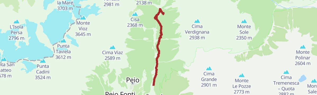
Open route APT Valli di Sole, Peio e RabbiRifugio Larcher – La Forcola
A long climb past the Larcher hut to the little Forcola pass, easy until a final steep ramp, facing the Cevedale glacier and the length of the Val Venezia.
- 22.8 km
- Distance
- 2 272 m
- Ascent
- 13 h 59 min
- Duration
- 77
- Check-ins
- Salt dei gembri 2 138 m
- Rifugio Guido Larcher al Cevedale 2 608 m
- Malga Mare 2 031 m
- Malga Prabon 1 793 m
- Vasca Malga Mare 1 955 m
- La Forcola - Fürkelescharte 3 032 m
Open route APT Valli di Sole, Peio e RabbiVal di Sole Cycle Path
A long valley cycle path beside the Noce, running down from Cogolo di Peio as far as Mostizzolo, with a side option into Val di Peio.
- 43.5 km
- Distance
- 365 m
- Ascent
- 4 h 24 min
- Duration
- 20
- Check-ins
- Mostizzolo 592 m
- Bucaneve 809 m
- Associazione sportiva 618 m
- Hotel Job 755 m
- Al cervo 896 m
- Bar ristorante pizzeria Kristall 892 m
- +3
Open route APT Valli di Sole, Peio e RabbiThe farmstead tour | Pegaia - Frattaplana
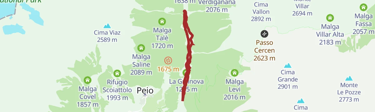
A valley walk in the Stelvio park from the isolated church at Pegaia past the Cogolo power station to the old farmsteads at Fratta Plana and Guilnova.
- 6.6 km
- Distance
- 190 m
- Ascent
- 2 h 1 min
- Duration
- 8
- Check-ins
Open route APT Valli di Sole, Peio e RabbiGlaciers route of the Val de la Mare
A high route held above 2,000 metres through the Val de la Mare, reading the U-shaped trough and lateral moraines left by the retreating Vedretta de la Mare.
- 12.0 km
- Distance
- 743 m
- Ascent
- 5 h 6 min
- Duration
- 46
- Check-ins
- Salt dei gembri 2 138 m
- Rifugio Guido Larcher al Cevedale 2 608 m
- Malga Mare 2 031 m
- Lago Nero 2 622 m
Open route Parco Nazionale dello Stelvio (settore Trentino)The Cevedale Lakes
A circuit in the Cevedale group by the Larcher hut and the glacial lakes of the Marmots, Lago Lungo and Lago Nero, with the Careser reservoir and Lago delle Lame beyond.
- 14.1 km
- Distance
- 1 024 m
- Ascent
- 6 h 45 min
- Duration
- 75
- Check-ins
- Salt dei gembri 2 138 m
- Rifugio Guido Larcher al Cevedale 2 608 m
- Malga Mare 2 031 m
- Malga Prabon 1 793 m
- Vasca Malga Mare 1 955 m
- Lago Nero 2 622 m
Open route APT Valli di Sole, Peio e RabbiAlpine Gravel Pejo
A gravel route from Mezzana into the Val de la Mare on steep forest roads to Malga Pontevecchio, with Malga Giumella and Peio on the loop.
- 60.5 km
- Distance
- 1 847 m
- Ascent
- 7 h 6 min
- Duration
- 18
- Check-ins
- Ristorante Fontanino 1 676 m
- Malga Palù 1 825 m
- Il Cantuccio del gusto 1 404 m
- Malga Pontevecchio 1 768 m
- Malga Giumella 1 950 m
- Colonia 997 m
- +2
Open route APT Valli di Sole, Peio e RabbiWalk among the masi
An easy loop on valley-floor forest roads through the Val di Peio, past the timber-and-stone masi and the scattered pastures and hay meadows around them.
- 7.0 km
- Distance
- 213 m
- Ascent
- 2 h 9 min
- Duration
- 8
- Check-ins
Open route Parco Nazionale dello Stelvio (settore Trentino)Lago Covel (lake)
A family route in the Stelvio park to small Lake Covel among pastures, with the Covel waterfall a few minutes away and goat cheese made at the malga.
- 8.7 km
- Distance
- 496 m
- Ascent
- 3 h 29 min
- Duration
- 37
- Check-ins
Open route APT Valli di Sole, Peio e RabbiRifugio Vioz «Mantova» alpine hut
A long climb to the Vioz hut, base for the traverse to Cevedale and for the Thirteen Peaks, above glaciers that carried the highest fighting of the Great War.
- 14.8 km
- Distance
- 1 984 m
- Ascent
- 10 h 24 min
- Duration
- 72
- Check-ins
- Cima Viaz 2 589 m
- Rifugio Mantova al Vioz 3 535 m
- Rifugio Doss dei Cembri / Doss dei Gembri 2 316 m
- Malga Saline 2 089 m
Open route APT Valli di Sole, Peio e RabbiMalga Covel and Lake Covel
A short loop from Peio Paese up to Malga Covel, pram-friendly as far as the dairy, continuing to Lake Covel and the waterfalls of the Rio Vioz.
- 5.2 km
- Distance
- 231 m
- Ascent
- 1 h 48 min
- Duration
- 6
- Check-ins
Open route APT Valli di Sole, Peio e RabbiTrekking to Lago Pian Palù and the charcoal pits of the Val di Peio.
One of the Stelvio park's dendrochronology trails: around Lago Pian Palù to the ancient larches under Malga Paludèi and the charcoal pits toward Malga Giumella.
- 9.6 km
- Distance
- 513 m
- Ascent
- 3 h 41 min
- Duration
- 20
- Check-ins
- Ristorante Fontanino 1 676 m
- Malga Palù 1 825 m
- Malga Celentino 1 830 m
- Malga Paludei 2 128 m
- Malga Giumella 1 950 m
Open route Parco Nazionale dello Stelvio (settore Trentino)Monte Cevedale and its glaciers
A long glacier ascent of Monte Cevedale, the junction where the Val de la Mare, Val di Sole, Val Cedec and Val Martello meet, with the Ortles range all around.
- 18.6 km
- Distance
- 1 816 m
- Ascent
- 11 h 14 min
- Duration
- 69
- Check-ins
- Monte Cevedale 3 769 m
- Salt dei gembri 2 138 m
- Rifugio Guido Larcher al Cevedale 2 608 m
- Malga Mare 2 031 m
- Passo Rosole 3 502 m
Open route APT Valli di Sole, Peio e RabbiPeio Paese - Wildlife Area
A short walk from Peio Paese to the park's wildlife enclosure, where red and roe deer are kept under keepers' watch, passing the 1914-1918 war museum in the village.
- 4.2 km
- Distance
- 170 m
- Ascent
- 1 h 24 min
- Duration
- 6
- Check-ins
Open route APT Valli di Sole, Peio e RabbiMalga Giumella - Pian Palù Lake Loop
From the Fontanino car park to Malga Giumella and its summer herds, with the option of turning off early to circle the green water of Lago Pian Palù.
- 8.8 km
- Distance
- 320 m
- Ascent
- 2 h 50 min
- Duration
- 17
- Check-ins
Open route APT Valli di Sole, Peio e RabbiTedeschi Trail
A long trail through the Val di Peio cut by soldiers during the First World War, with military ruins still standing along its length.
- 17.8 km
- Distance
- 457 m
- Ascent
- 6 h 7 min
- Duration
- 29
- Check-ins
- Rifugio Doss dei Cembri / Doss dei Gembri 2 316 m
- Ristorante Fontanino 1 676 m
- Malga Giumella 1 950 m
Open route APT Valli di Sole, Peio e RabbiMalga Campo and Lake Celentino
A short climb to Malga Campo above Celentino, a natural balcony facing the Brenta Dolomites, Presanella and Cevedale; the old shepherds' quarters hold a small museum.
- 4.9 km
- Distance
- 293 m
- Ascent
- 2 h 2 min
- Duration
- 5
- Check-ins
Open route APT Valli di Sole, Peio e RabbiVal Pudria and Val Comiciolo
A trail on footpaths past Lago Pian Palù into the empty Val Pudria and Val Comiciolo, ending on a terrace above the Val del Monte and its lake.
- 10.2 km
- Distance
- 869 m
- Ascent
- 5 h 32 min
- Duration
- 12
- Check-ins
Open route APT Valli di Sole, Peio e RabbiLaghetti and Lagostiel
A long route across high ground and stream crossings in the Ortles-Cevedale group to the tarns called Laghetti at 2,237 metres and then to Lagostiel.
- 19.1 km
- Distance
- 1 236 m
- Ascent
- 8 h 23 min
- Duration
- 20
- Check-ins
- Ristorante Fontanino 1 676 m
- Malga Palù 1 825 m
- Malga Celentino 1 830 m
- Malga Paludei 2 128 m
- Malga Giumella 1 950 m
Open route APT Valli di Sole, Peio e RabbiPeio Paese - Capercaillie Forest
An easy walk from Peio Paese to the Capercaillie Forest, an interpretive trail on alpine grouse using recorded calls, images and rebuilt habitats, open to visitors with impaired sight.
- 6.3 km
- Distance
- 200 m
- Ascent
- 1 h 58 min
- Duration
- 2
- Check-ins
Open route APT Valli di Sole, Peio e RabbiWildlife route in Val di Peio
A trek between mountain huts above the Val Piana amphitheatre, one of the better places in the valley to watch red deer and chamois through the summer.
- 12.9 km
- Distance
- 795 m
- Ascent
- 5 h 28 min
- Duration
- 12
- Check-ins
- Ristorante Fontanino 1 676 m
- Malga Paludei 2 128 m
- Malga Giumella 1 950 m
- Lagostèl 2 454 m
Open route Parco Nazionale dello Stelvio (settore Trentino)Rifugio Bozzi and Laghi di Montozzo
A steep climb from Fontanino di Peio to the Bozzi hut in the Montozzo basin, named for a soldier killed on the Torrione d'Albiolo, and on to the Montozzo lakes.
- 7.7 km
- Distance
- 1 077 m
- Ascent
- 4 h 19 min
- Duration
- 20
- Check-ins
- Forcellina di Montozzo 2 613 m
- Ristorante Fontanino 1 676 m
- Malga Celentino 1 830 m
- Baito Val Montozzo 2 458 m
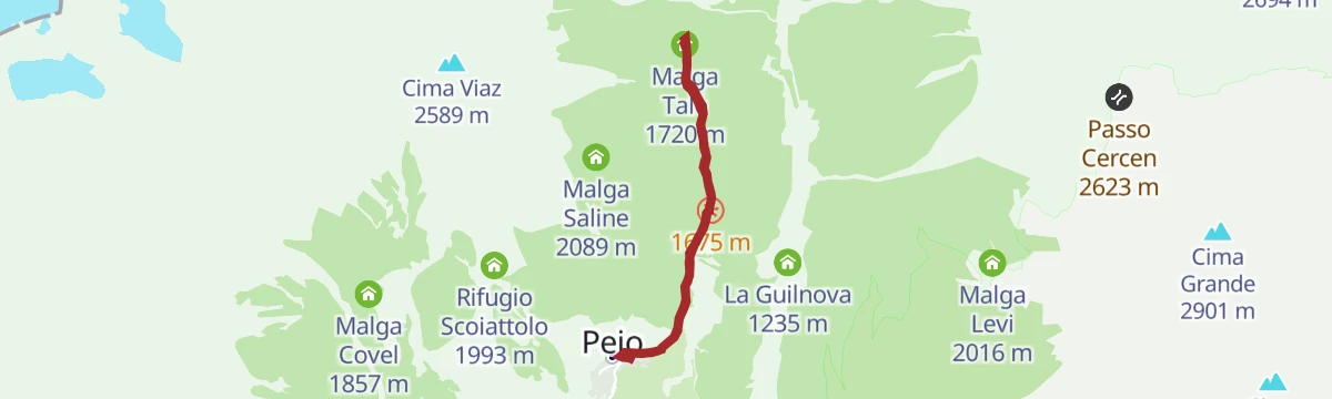
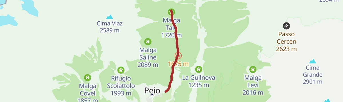
Open route APT Valli di Sole, Peio e RabbiThe Capercaillie Forest from Peio to Malga Talé
An easy interpretive walk to Malga Talé with a treehouse, wooden sound funnels and a nest to sit in, ending at the visitor centre on alpine grouse.
- 5.3 km
- Distance
- 173 m
- Ascent
- 1 h 40 min
- Duration
- 2
- Check-ins
Open route Parco Nazionale dello Stelvio (settore Trentino)Malga Pontevecchio
A climb along the Noce upstream of Cogolo to Malga Pontevecchio, a working farm hut serving lunches and snacks made from local produce.
- 6.3 km
- Distance
- 593 m
- Ascent
- 2 h 39 min
- Duration
- 10
- Check-ins
Open route APT Valli di Sole, Peio e RabbiTorrente Noce C
A valley route along the Noce in the Stelvio national park, from the Fontanino above Peio down past the hydro works at Masi di Contra.
- 14.1 km
- Distance
- 875 m
- Ascent
- 4 h 40 min
- Duration
- 12
- Check-ins
- Ristorante Fontanino 1 676 m
- Consorzio Turistico Pejo 3000 1 158 m
- Parco Nazionale dello Stelvio 1 161 m
- Colonia 997 m
- Mas de Donoplan 1 040 m
- Impianto idroelettrico "Masi di Contra" 1 117 m
Open route Trentino FishingBotanical route with educational-naturalistic illustrations
A short interpretive loop naming the local trees, from mountain maple and elder to hazel, goat willow, larch, spruce and birch, in Italian and in dialect.
- 2.7 km
- Distance
- 247 m
- Ascent
- 1 h 28 min
- Duration
Open route Parco Nazionale dello Stelvio (settore Trentino)Lake Pian Palù Circular Route
A circuit inside the Stelvio National Park to the pale blue reservoir of Pian Palù, returning by Malga Frattasecca.
- 11.5 km
- Distance
- 463 m
- Ascent
- 3 h 51 min
- Duration
- 9
- Check-ins
Open route APT Valli di Sole, Peio e RabbiMalga Campo Fun Tour
A long and technical circuit through the middle and upper reaches of the Val di Sole, with the Brenta, Presanella, Vioz and Cevedale in view on the climb.
- 28.7 km
- Distance
- 1 314 m
- Ascent
- 10 h
- Duration
- 9
- Check-ins
Open route APT Valli di Sole, Peio e RabbiCogolo - Church of Santa Lucia
A forest walk from Cogolo to the little church of Santa Lucia on its hill outside Comasine, once a village of iron miners, looking down the Val di Peio.
- 5.5 km
- Distance
- 295 m
- Ascent
- 2 h 6 min
- Duration
Open route APT Valli di Sole, Peio e RabbiVal Montozzo
A wide, well-marked path at moderate gradient up the empty Val Montozzo, facing the northern summits strung together by the Thirteen Peaks route.
- 14.5 km
- Distance
- 904 m
- Ascent
- 6 h 13 min
- Duration
- 8
- Check-ins
Open route APT Valli di Sole, Peio e RabbiTrail Malga Campo No. 707
A demanding upland circuit to Malga Campo, high above the Val di Sole and facing the Presanella, Vioz and Cevedale, with technical descending.
- 29.1 km
- Distance
- 1 274 m
- Ascent
- 9 h 58 min
- Duration
- 9
- Check-ins
Open route APT Valli di Sole, Peio e RabbiLago Pian Palù
A short, nearly level circuit of Lago Pian Palù, the hydroelectric reservoir at the head of the Val del Monte above Peio.
- 3.9 km
- Distance
- 99 m
- Ascent
- 1 h 10 min
- Duration
Centuries-old larch route of Cavaion
One of the four dendrochronology trails of the Stelvio park, passing the oldest larches in its Trentino sector, dated to the late 1300s, above Malga Pontevecchio.
- 6.5 km
- Distance
- 460 m
- Ascent
- 3 h 3 min
- Duration
- 2
- Check-ins
Open route Parco Nazionale dello Stelvio (settore Trentino)Cima Cadinel
A quiet climb through woods to Malga Campo, then up among larches into a wild side valley to the grass terraces of the Baito del Cadinel, Lago Cadinel and the summit.
- 4.8 km
- Distance
- 1 025 m
- Ascent
- 3 h 48 min
- Duration
- 6
- Check-ins
- Cima Cadinel 2 864 m
- Nestalp - Malga Campo 1 979 m
- Baito del Cadinel 2 412 m
- Passo di Cadinel 2 730 m
Open route APT Valli di Sole, Peio e RabbiMalga Campo "NestAlp" - Alpine dairy farm
A brief approach on a dirt road from the Sant'Antonio parking above Celentino to Malga Campo, a dairy on a terrace facing the Brenta Dolomites and Presanella.
- 630 m
- Distance
- 20 m
- Ascent
- 15 min
- Duration
Open route APT Valli di Sole, Peio e RabbiCima Boai and Val Comasine
A demanding loop above Vermiglio by Malga Saviana and larch woods to Cima Boai, returning past Malga Val Comasine and then Malga Mason, facing the Brenta peaks and Cevedale.
- 14.1 km
- Distance
- 1 560 m
- Ascent
- 9 h
- Duration
- 5
- Check-ins
Open route APT Valli di Sole, Peio e RabbiNaturalistic walk in to the world of woodpeckers
A short interpretive path above Peio village, with panels on the woodpeckers that live in the woods of the Stelvio park.
- 1.4 km
- Distance
- 101 m
- Ascent
- 41 min
- Duration
Open route Parco Nazionale dello Stelvio (settore Trentino)Peio Fonti - Malga Val Comasine
A climb through woods on the slopes above Peio Fonti in the Val del Monte, past old larches, charcoal pits, a cheese dairy and panels on the local geology.
- 15.8 km
- Distance
- 1 319 m
- Ascent
- 8 h 25 min
- Duration
- 5
- Check-ins
Open route APT Valli di Sole, Peio e RabbiWaterfall Piz del Pai
A walk from above Celentino across open sunny meadows, then into thick woodland and onto a footpath to the small Piz del Pai waterfall.
- 3.0 km
- Distance
- 215 m
- Ascent
- 1 h 25 min
- Duration
Open route APT Valli di Sole, Peio e RabbiMalga Borche
A steady climb through the forests of the Val di Peio to Malga Borche, where dry cows and calves are pastured for the summer.
- 14.0 km
- Distance
- 1 424 m
- Ascent
- 8 h 44 min
- Duration
- 3
- Check-ins
Open route APT Valli di Sole, Peio e Rabbi
No routes of this kind in Peio yet.
The region's own picks
Featured route
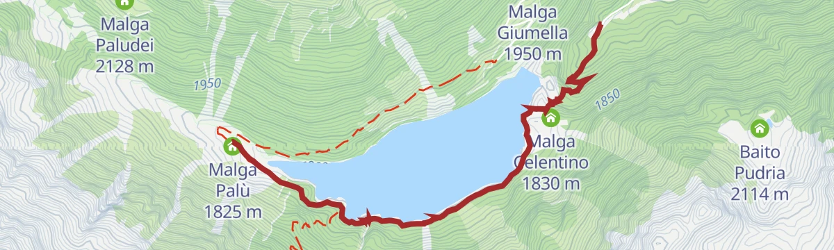
Malga Palù
A short walk to the Palù dairy beside the Pian Palù reservoir, inside the Stelvio park.
Planning a trip to Peio?
Everything else Trentino-Alto Adige/Südtirol has, in one place


Take Peio with you into the mountains
Every route on this page with 3D terrain, GPX navigation and offline maps — including the valleys with no signal.
Data sources
- Official website: visitvaldisole.it ↗
- Routes and highlights: APT Valli di Sole, Peio e Rabbi, Valdirabbi, Parco Nazionale dello Stelvio (settore Trentino), Sterzing, Pfitsch und Freienfeld, VisitTrentino, Trentino Fishing, Visit Trentino
- Published as open data by the tourist boards named above.
- Region summary generated from the board's own material.
