




Curated by Sterzing, Pfitsch und Freienfeld
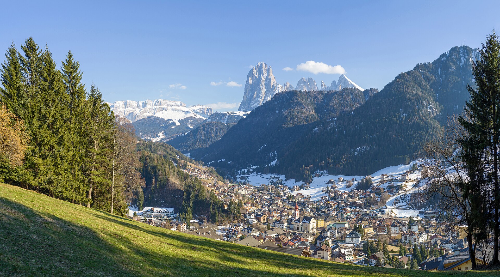
Ortisei/St. Ulrich
Val Gardena's main town and the centre of Ladin wood carving, with cable cars to the Alpe di Siusi and the Rasciesa ridge.
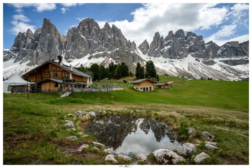
Photo: This Photo was taken by Wolfgang Moroder . Feel free to use my photos, but please mention me as the author and send me a message . This image is not in the public domain . Please respect the copyright protection. It may only be used according to the rules mentioned here. This specifically excludes use in social media , if applicable terms of the licenses listed here not appropriate. Please do not upload an updated image here without consultation with the Author. The author would like to make corrections only at his own source. This ensures that the changes are preserved. Please if you think that any changes should be required, please inform the author. Otherwise you can upload a new image with a new name. Please use one of the templates derivative or extract . · CC BY-SA 4.0 licence
- 1Highlights
- 17Routes
- Featured summit · Ausserraschötz
Highlights
14 from neighbouring places
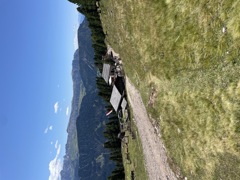
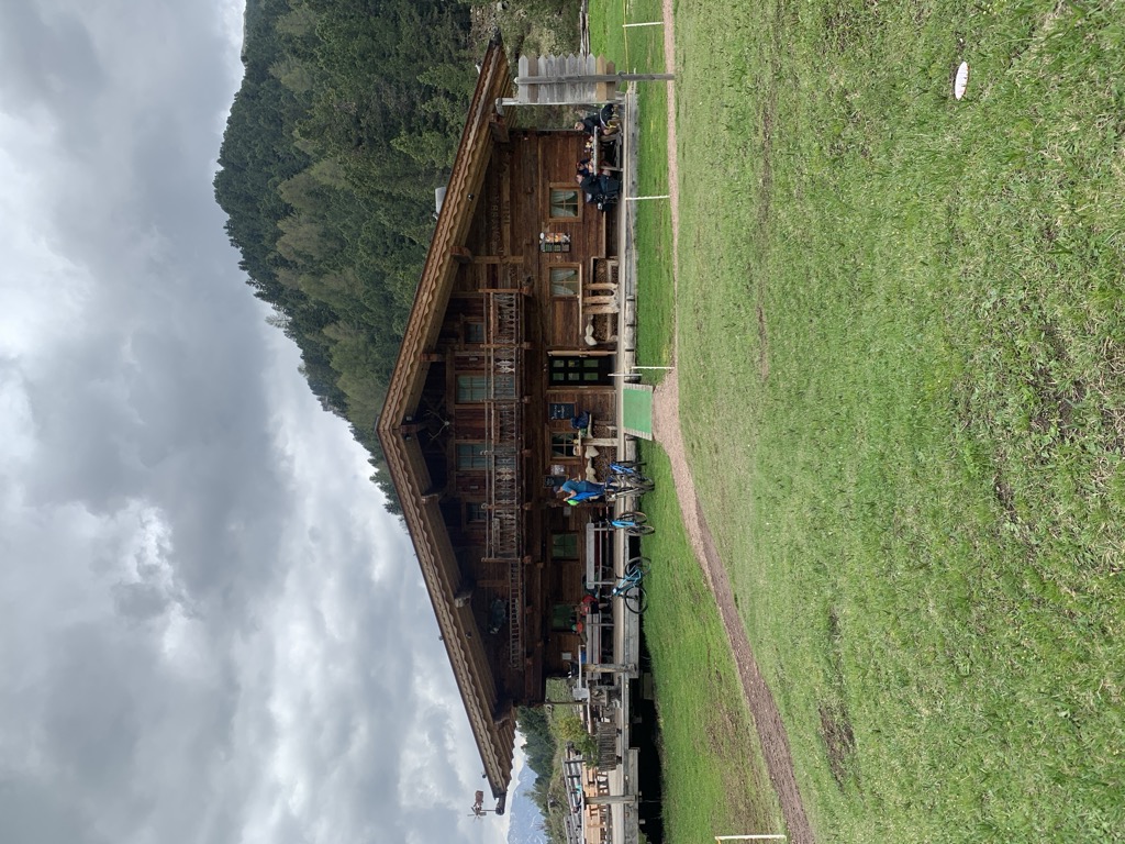
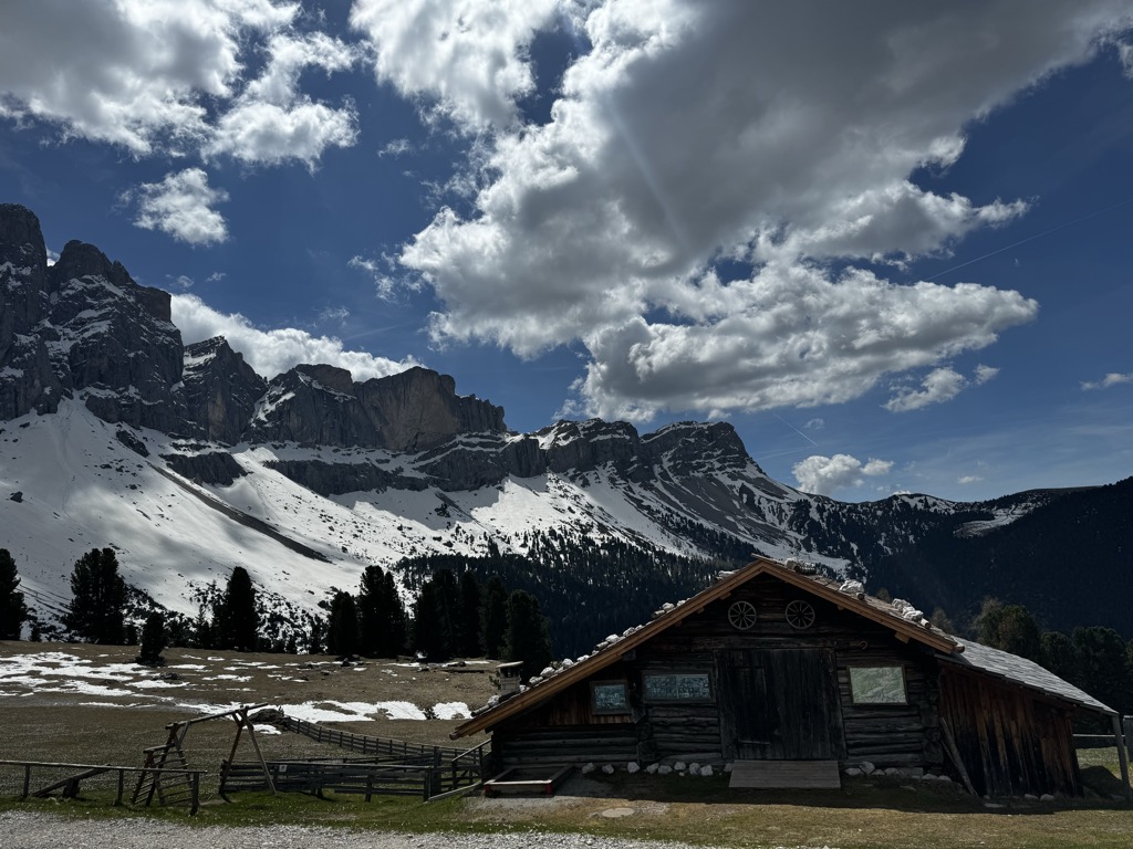
Malga Cason
A dairy hut on the pastures above Ortisei, in the Val Gardena, on the wooded slopes below the Rasciesa ridge.
Sterzing, Pfitsch und FreienfeldSeceda Stazione a monte - baita
3.2 km away, in Santa Cristina Valgardena/St. Christina in Gröden
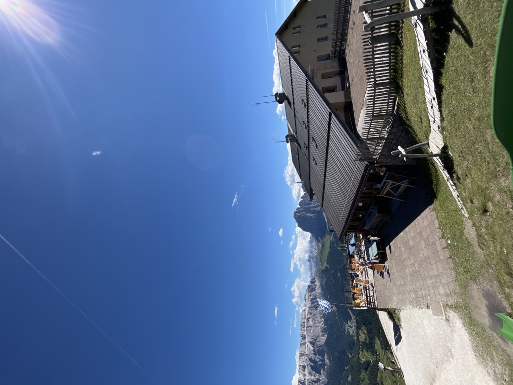
A hut at the Seceda top station, 2,500 m above Santa Cristina Valgardena and among the most easily reached viewpoints in the Val Gardena.
Seceda Stazione a monte
3.2 km away, in Santa Cristina Valgardena/St. Christina in Gröden
The top station of the Seceda lift at 2,500 m above Santa Cristina Valgardena, with a restaurant, a terrace and an outdoor playground.
Sofie Baita
3.4 km away, in Santa Cristina Valgardena/St. Christina in Gröden
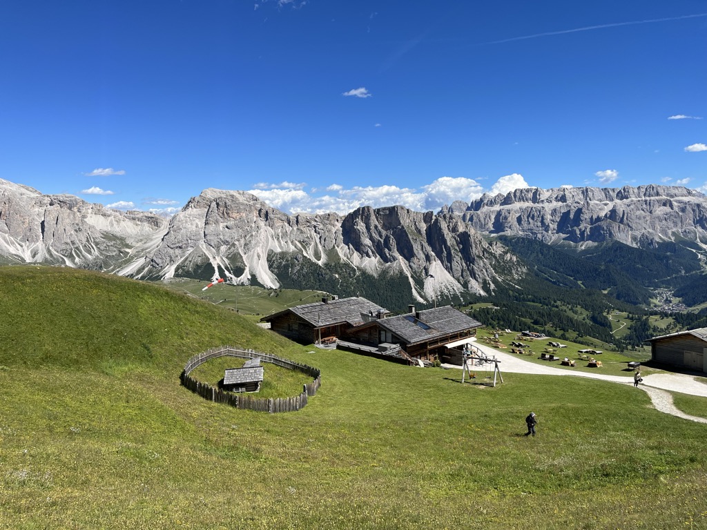
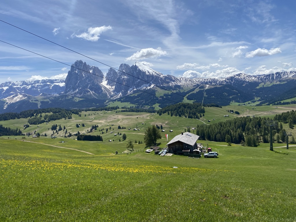
A hut at 2,412 m on the Seceda slopes above Santa Cristina Valgardena, with a boulder wall for children and its own 8025 gin made from 13 alpine herbs.
Malga Lech Sant
3.5 km away, in Santa Cristina Valgardena/St. Christina in Gröden
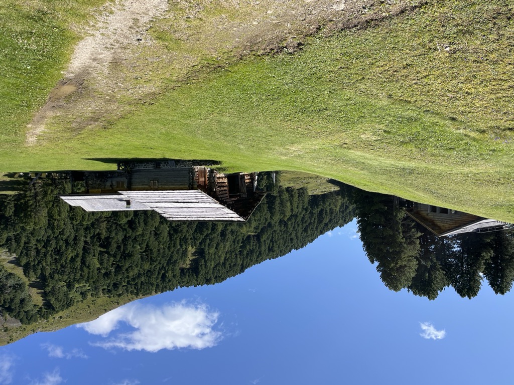
A cheese-making pasture hut on the slopes above Santa Cristina Valgardena, turning out its own dairy products on the spot.
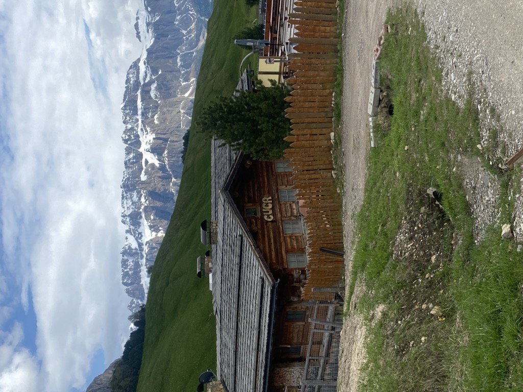
Baita Cuca
4.3 km away, in Santa Cristina Valgardena/St. Christina in Gröden
A hut at 2,020 m on the Cisles pastures above Santa Cristina Valgardena, serving local mountain dishes with music a regular fixture.
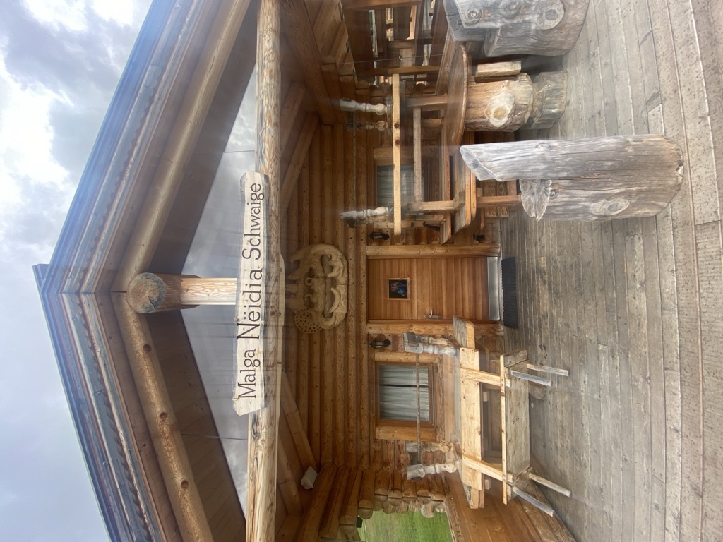
Malga Neidia
4.3 km away, in Santa Cristina Valgardena/St. Christina in Gröden
A hut at 2,035 m above Santa Cristina Valgardena, worked from the Puze farm in the village and cooking plain dishes from its own produce.
Sterzing, Pfitsch und FreienfeldBaita Gamsblut
4.4 km away, in Santa Cristina Valgardena/St. Christina in Gröden
A hut at 1,952 m above Santa Cristina Valgardena with a panoramic terrace and a small animal park in summer, taking bookings for breakfast and dinner.
Sterzing, Pfitsch und FreienfeldMalga Contrin
4.9 km away, in Castelrotto/Kastelruth
A pasture hut at just over 2,000 m on a sunny rise of the Alpe di Siusi above Castelrotto, passed by the Alta Via delle Dolomiti n. 8.
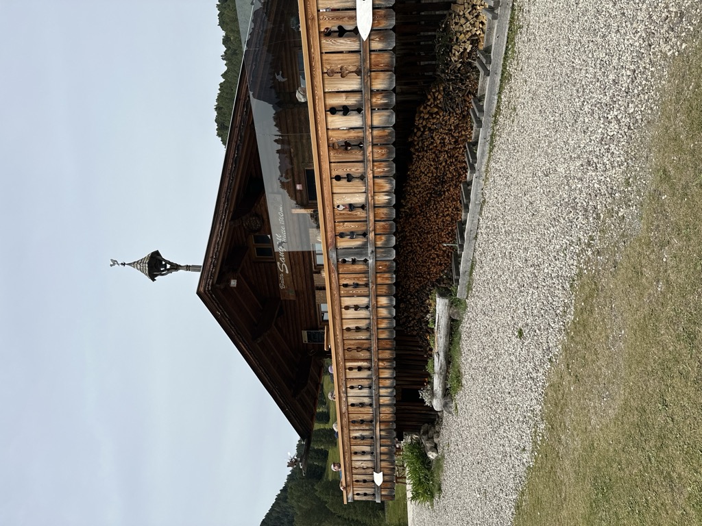
Baita Sangon
5.1 km away, in Santa Cristina Valgardena/St. Christina in Gröden
A hut at 1,823 m at the foot of the Seceda above Santa Cristina Valgardena, with a playground, a sun terrace and South Tyrolean wines.
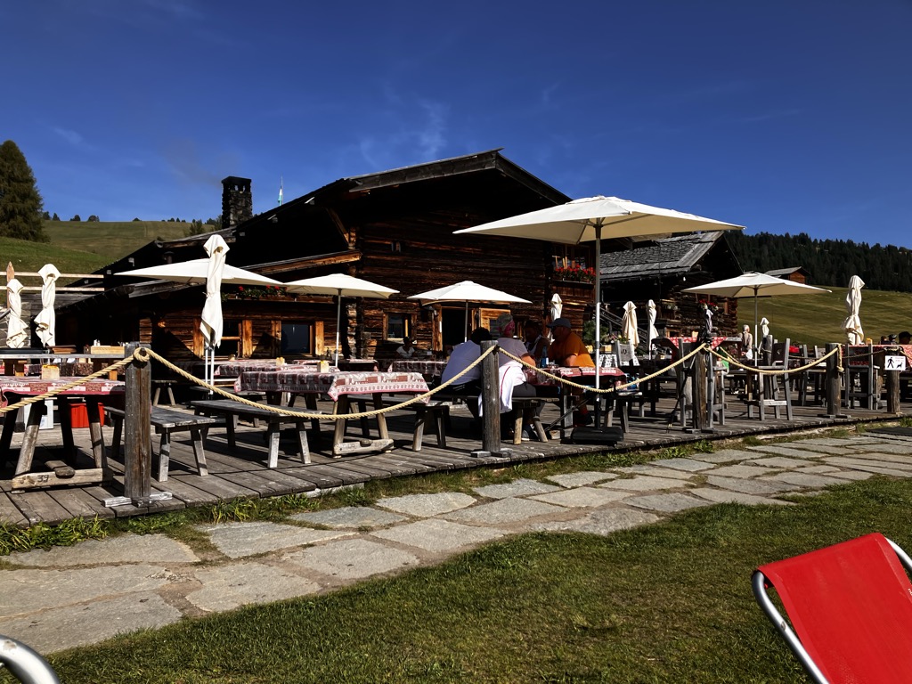
Sanonhütte
5.2 km away, in Castelrotto/Kastelruth
One of the most traditional huts on the Alpe di Siusi, at 1,851 m above Castelrotto, run as a family house and reached on foot or by mountain bike.
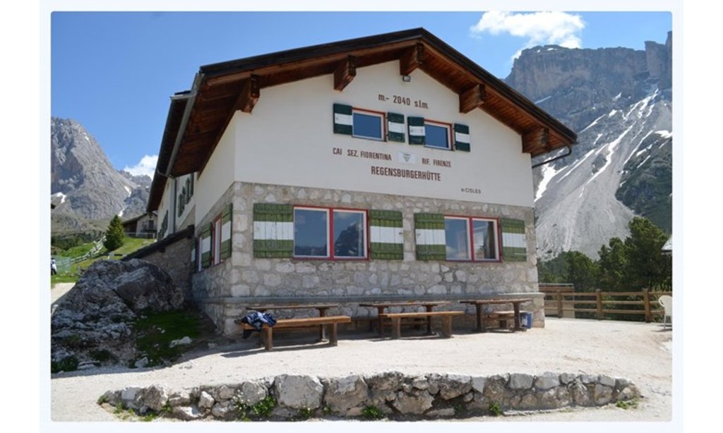
Sterzing, Pfitsch und FreienfeldRifugio Firenze
5.7 km away, in Santa Cristina Valgardena/St. Christina in Gröden
One of the first alpine huts in the Val Gardena, at 2,040 m below the Odle, built in 1888 by the Regensburg section of the German-Austrian Alpine Club.
Malga Casnago
5.9 km away, in Funes/Villnöß
A pasture hut at 2,006 m on the Funes side of the Odle, on the Dolorama trail, cooking traditional Tyrolean dishes from the produce of local farms.
Malga Geisleralm
6 km away, in Funes/Villnöß
A family hut at 1,996 m below the Odle above Funes, with a Tyrolean stube, a wide terrace and its own Geisler cinema.
Rifugio delle Odle
6 km away, in Funes/Villnöß
A hut at 1,996 m under the walls of the Odle in the Val di Funes, at the top of the pastures on the western edge of the Puez-Odle park.
Nothing of this kind in Ortisei/St. Ulrich.
Routes
Escursione al Resciesa
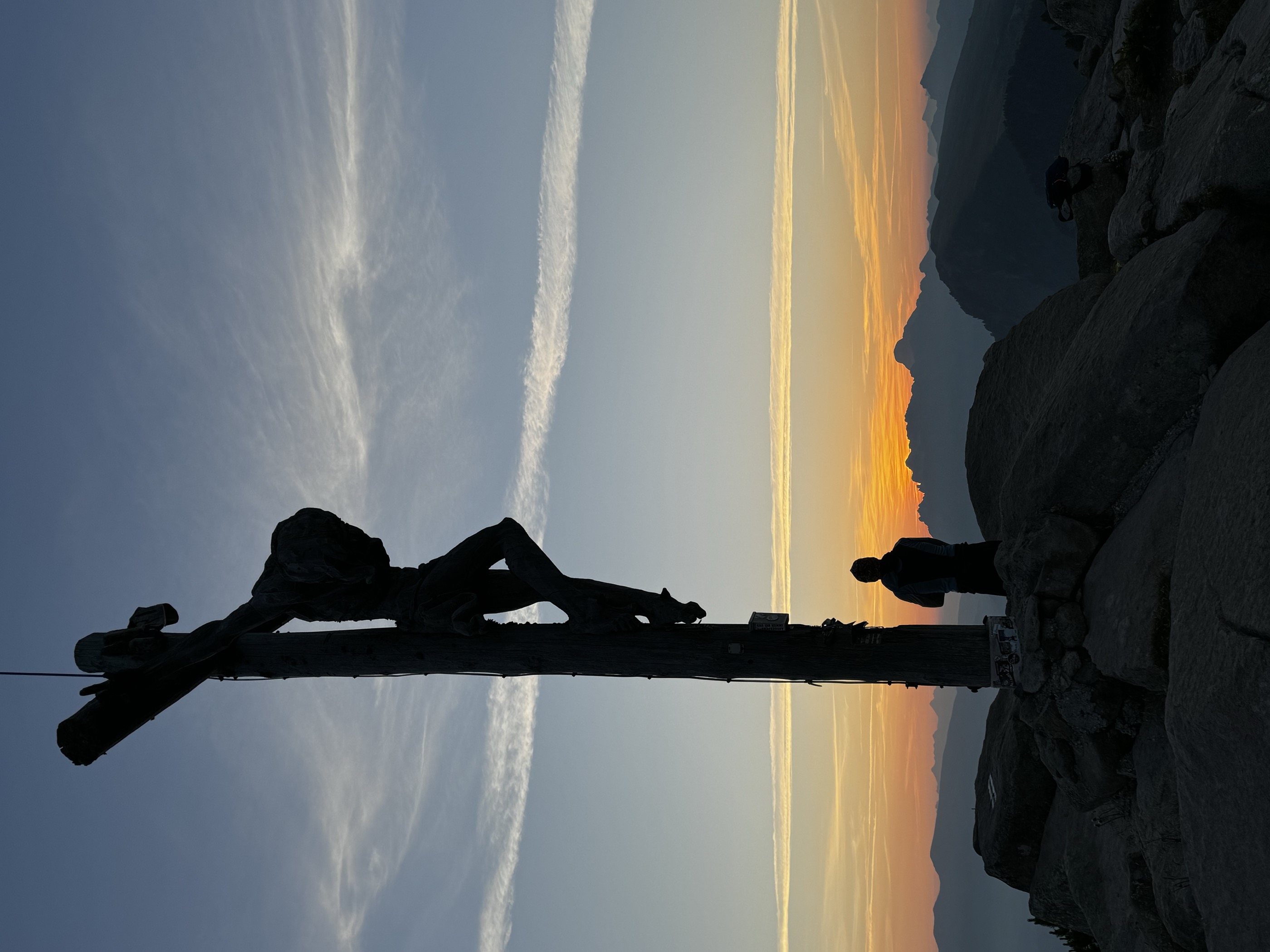
A short round from the Resciesa funicular to the summit cross and back by the Santa Croce chapel, in the Puez-Odle park above Ortisei.
- 5.0 km
- Distance
- 187 m
- Ascent
- 1 h 36 min
- Duration
- 136
- Check-ins
 Ausserraschötz 2 283 m
 Utia Resciesa - Schutzhütte Raschötz - Rifugio Resciesa 2 170 m
- Cason 2 115 m
- Chalet Resciesa 2 099 m
Open route Sterzing, Pfitsch und Freienfeldto the Brogles hut
A walk from the Rasciesa cable car station by Cason and the Forcella Valluzza to the Brogles hut, returning the same way.
- 13.6 km
- Distance
- 512 m
- Ascent
- 4 h 27 min
- Duration
- 180
- Check-ins
- Ausserraschötz 2 283 m
- Utia Resciesa - Schutzhütte Raschötz - Rifugio Resciesa 2 170 m
- Brogleshütte - Rifugio Malga Brogles 2 047 m
- Cason 2 115 m
- Chalet Resciesa 2 099 m
 Bredles - Broglessattel - Passo di Brogles 2 119 m
Open route LajenDolorama 3. Stage
The third of four stages on the 61 km Dolorama route, which runs from the Rodengo pastures to Laion with the Dolomites in view.
- 15.7 km
- Distance
- 555 m
- Ascent
- 5 h 10 min
- Duration
- 182
- Check-ins
- Schlüterhütte - Rifugio Genova 2 306 m
- Utia Resciesa - Schutzhütte Raschötz - Rifugio Resciesa 2 170 m
- Gampen Alm - Malga Gampen 2 062 m
- Brogleshütte - Rifugio Malga Brogles 2 047 m
- Bredles - Broglessattel - Passo di Brogles 2 119 m
- Flitzer Scharte - Lacia da Fliz - Forcella di Valluzza 2 107 m
Open route LajenSki alpinismo Laite Va Piz
A ski ascent from the Waldschenke car park at Ranui by Weissbrunn and the Brogles dairy to Laite Va Piz at 2,284 m.
- 6.0 km
- Distance
- 919 m
- Ascent
- 0 m
- Descent
- 2 h 42 min
- Duration
- 72
- Check-ins
- Laite va Piz 2 304 m
- Waldschenke 1 391 m
- Brogleshütte - Rifugio Malga Brogles 2 047 m
- Bredles - Broglessattel - Passo di Brogles 2 119 m
Open route Sterzing, Pfitsch und FreienfeldResciesa - winter
A winter walk on the Resciesa alp above Ortisei, reached by the funicular from the village.
- 5.5 km
- Distance
- 178 m
- Ascent
- 1 h 43 min
- Duration
- 136
- Check-ins
- Ausserraschötz 2 283 m
- Utia Resciesa - Schutzhütte Raschötz - Rifugio Resciesa 2 170 m
- Cason 2 115 m
- Chalet Resciesa 2 099 m
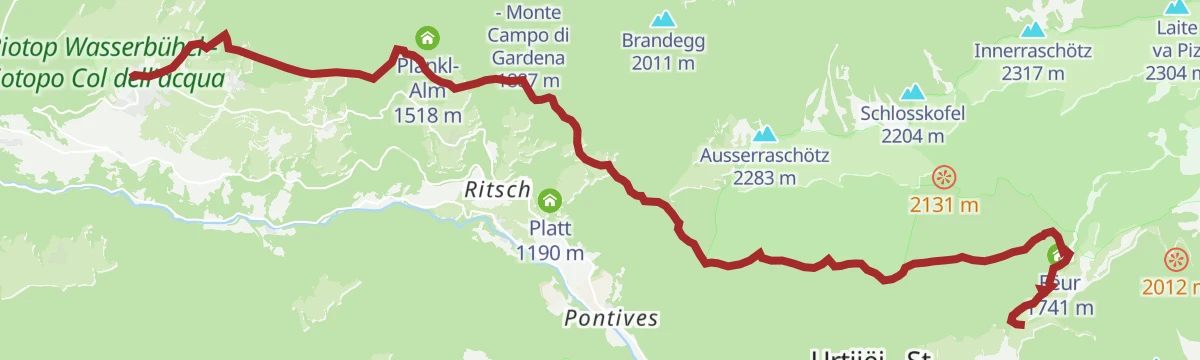
Open route LajenRasciesa di Fuori - San Pietro
A high walk over the Rasciesa meadows above Ortisei, dropping to San Pietro with the Dolomites round the whole horizon.
- 12.9 km
- Distance
- 163 m
- Ascent
- 4 h 23 min
- Duration
- 143
- Check-ins
- Ausserraschötz 2 283 m
- Utia Resciesa - Schutzhütte Raschötz - Rifugio Resciesa 2 170 m
- Cason 2 115 m
- Chalet Resciesa 2 099 m
- Plankl-Alm 1 518 m
- Nuflatsch 1 454 m
- +2
Open route LajenLaion - Resciesa circular hiking tour
A long circuit for fit walkers from Laion up onto the Resciesa pasture at the mouth of the Val Gardena, facing the Dolomites.
- 27.3 km
- Distance
- 1 294 m
- Ascent
- 9 h 38 min
- Duration
- 105
- Check-ins
- Utia Resciesa - Schutzhütte Raschötz - Rifugio Resciesa 2 170 m
- Cason 2 115 m
- Chalet Resciesa 2 099 m
- Pedrutscherhof 1 270 m
- Tourismusverein Lajen - Associazione Turistica di Laion 1 095 m
- Oberfelsonnerhof 1 214 m
- +6
Open route LajenResciesa to Fraina
A traverse of the Resciesa plateau above Ortisei, descending to Fraina, with the Dolomites in view for most of the way.
- 12.4 km
- Distance
- 206 m
- Ascent
- 4 h 19 min
- Duration
- 138
- Check-ins
- Ausserraschötz 2 283 m
- Utia Resciesa - Schutzhütte Raschötz - Rifugio Resciesa 2 170 m
- Cason 2 115 m
- Chalet Resciesa 2 099 m
- Tschatterlin-Sattel - Sella Ciatterlin 1 973 m
- Solerhof 1 130 m
Open route LajenVia Malga Brogles to Resciesa
A long crossing through the Brogles valley to Resciesa and on to the Saltner Schweige dairy.
- 18.4 km
- Distance
- 1 156 m
- Ascent
- 8 h 20 min
- Duration
- 99
- Check-ins
- Waldschenke 1 391 m
- Brogleshütte - Rifugio Malga Brogles 2 047 m
- Cason 2 115 m
- Bredles - Broglessattel - Passo di Brogles 2 119 m
- Locia de San Piere de Funes - Peter Scharte - Forcella San Pietro 2 280 m
Open route VillnössFrom Resciesa to Laion
A crossing of the Resciesa meadows by the Holy Cross chapel and trail 35 to the Ramitzler Schwaige, then Unterpulg and the Punholz pond to Laion.
- 13.6 km
- Distance
- 351 m
- Ascent
- 4 h 46 min
- Duration
- 107
- Check-ins
- Utia Resciesa - Schutzhütte Raschötz - Rifugio Resciesa 2 170 m
- Cason 2 115 m
- Chalet Resciesa 2 099 m
- Unterpulghütte 1 555 m
- Tourismusverein Lajen - Associazione Turistica di Laion 1 095 m
 Punholzweiher 1 352 m
- +4
Open route LajenRaschötz Circular Trail in Lajen
A long circuit from Laion onto the Rasciesa ridge above the Val Gardena, with a big height gain on forest paths.
- 25.5 km
- Distance
- 1 316 m
- Ascent
- 9 h 32 min
- Duration
- 62
- Check-ins
- Utia Resciesa - Schutzhütte Raschötz - Rifugio Resciesa 2 170 m
- Unterpulghütte 1 555 m
- Pedrutscherhof 1 270 m
- Tourismusverein Lajen - Associazione Turistica di Laion 1 095 m
- Bonichhof 1 143 m
- Oberfelsonnerhof 1 214 m
- +3
Open route Valle Isarco - EisacktalOberflitz - Raschötz
A circuit up to the Resciesa ridge above Ortisei, crossing the Flitzer Scharte notch, with views over Val Gardena and the Villnöss valley.
- 13.4 km
- Distance
- 867 m
- Ascent
- 5 h 54 min
- Duration
- 49
- Check-ins
- Utia Resciesa - Schutzhütte Raschötz - Rifugio Resciesa 2 170 m
- Flitzer Scharte - Lacia da Fliz - Forcella di Valluzza 2 107 m
- Tschatterlin-Sattel - Sella Ciatterlin 1 973 m
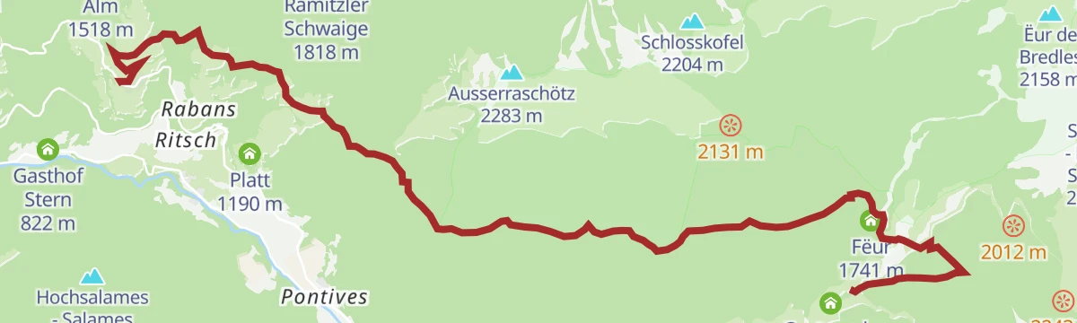
Open route VillnössLajen/Laion-Noflatsch-Troi Paian-Costamula
A demanding day from Laion over Noflatsch onto the Troi Paian, the old high road that ran from the Isarco valley to the Venetian plain.
- 14.9 km
- Distance
- 1 001 m
- Ascent
- 5 h 55 min
- Duration
- 38
- Check-ins
- Costamula 1 536 m
- Fëur 1 741 m
- Tourismusverein Lajen - Associazione Turistica di Laion 1 095 m
- Bonichhof 1 143 m
- Nuflatsch 1 454 m
- Tourist Info 1 102 m
- +1
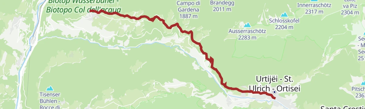
Open route LajenOn the postal trail from Lajen to St. Ulrich
The old postal path from Laion over into the Val Gardena, ending at Ortisei on the route once walked by the valley's postmen.
- 13.6 km
- Distance
- 659 m
- Ascent
- 4 h 27 min
- Duration
- 37
- Check-ins
- Tourist Office Ortisei 1 238 m
- Reisnerhof 867 m
- Pedrutscherhof 1 270 m
- Tourismusverein Lajen - Associazione Turistica di Laion 1 095 m
- Oberfelsonnerhof 1 214 m
- Tourist Info 1 102 m
- +1
Open route Valle Isarco - EisacktalPost Trail
A historic path from Laion towards the Val Gardena by Ceves, Tanurza and San Pietro, on routes that postmen and traders once used.
- 11.9 km
- Distance
- 378 m
- Ascent
- 3 h 37 min
- Duration
- 32
- Check-ins
- Tourist Office Ortisei 1 238 m
- Pedrutscherhof 1 270 m
- Tourismusverein Lajen - Associazione Turistica di Laion 1 095 m
- Oberfelsonnerhof 1 214 m
- Tourist Info 1 102 m
- Federer Türen 1 183 m
Open route LajenPost trail - alternative
A variant of the Poststeig, the path the postman used to carry mail into the Val Gardena before the road was built.
- 12.0 km
- Distance
- 387 m
- Ascent
- 3 h 39 min
- Duration
- 29
- Check-ins
- Tourist Office Ortisei 1 238 m
- Tourismusverein Lajen - Associazione Turistica di Laion 1 095 m
- Oberfelsonnerhof 1 214 m
- Tourist Info 1 102 m
- Platt 1 190 m
- Federer Türen 1 183 m
Open route LajenTroi Paian
The Laion to Ortisei stage of an ancient trade route linking the Isarco valley with the Dolomites, in use since the Bronze Age.
- 12.3 km
- Distance
- 768 m
- Ascent
- 4 h 36 min
- Duration
- 4
- Check-ins
Open route Lajen
No routes of this kind in Ortisei/St. Ulrich yet.
The region's own picks

Featured route
Escursione al Resciesa
A short round from the Resciesa funicular to the summit cross and back by the Santa Croce chapel, in the Puez-Odle park above Ortisei.
Planning a trip to Ortisei/St. Ulrich?
Everything else Trentino-Alto Adige/Südtirol has, in one place


Take Ortisei/St. Ulrich with you into the mountains
Every route on this page with 3D terrain, GPX navigation and offline maps — including the valleys with no signal.
Data sources
- Official website: suedtirol.info ↗
- Routes and highlights: Sterzing, Pfitsch und Freienfeld, Lajen, Villnöss, Valle Isarco - Eisacktal, Val Gardena, YesAlps
- Published as open data by the tourist boards named above.
- Region summary generated from the board's own material.
