
 Mountain hut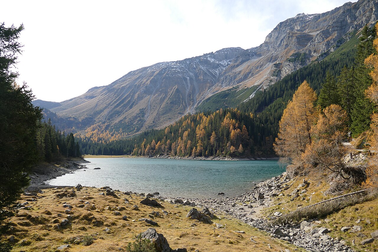
 Historic site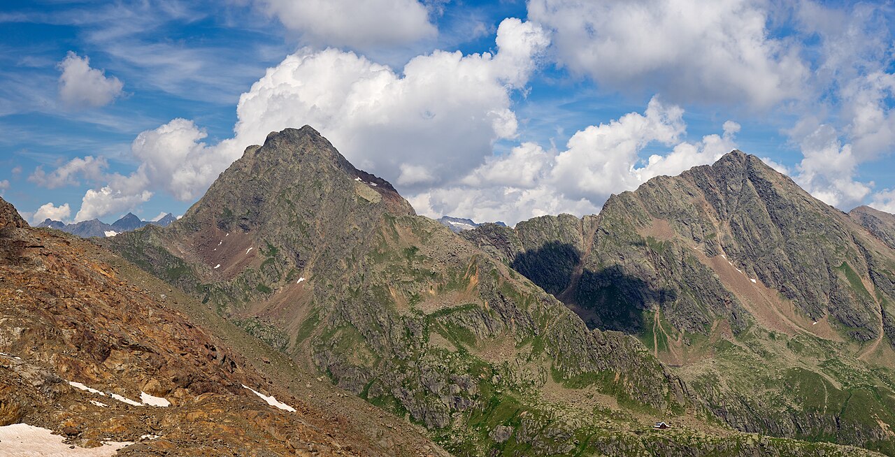
 Via ferrata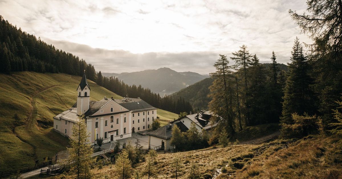







Curated by Wipptal Tourismus
Obernberg am Brenner
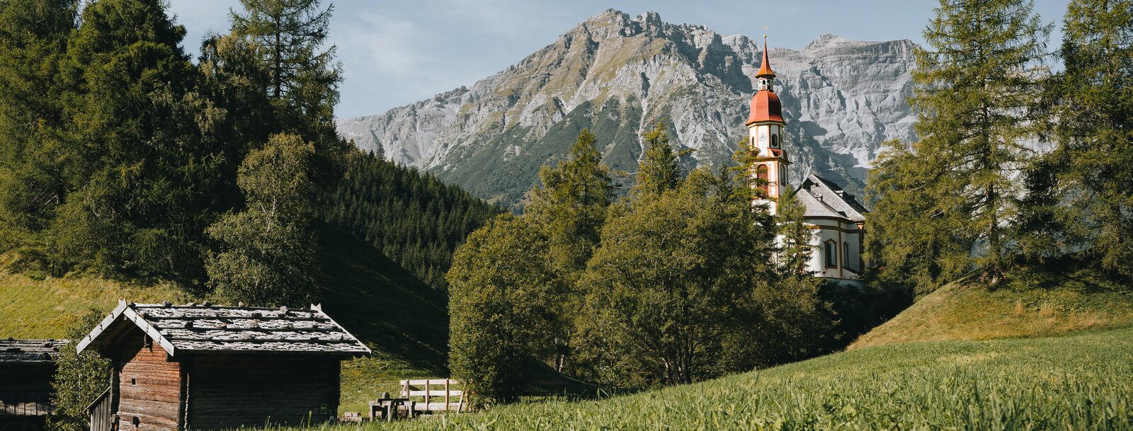
A dead-end valley village at 1380 m off the Wipptal, its larch meadows leading up to the emerald Obernberger See beneath the Tribulaun.
- 2Highlights
- 22Routes
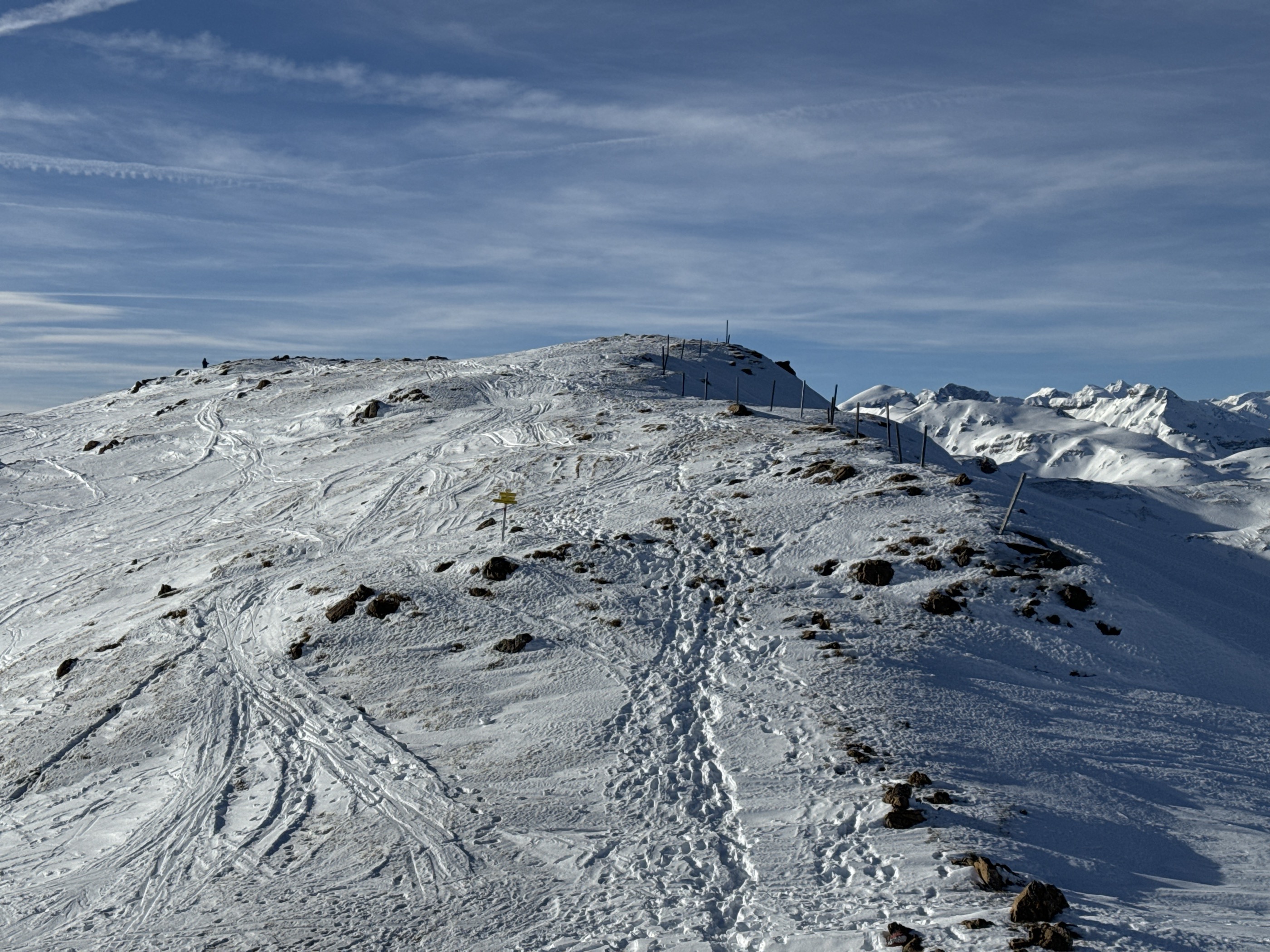
- Featured summit · Nösslachjoch-Kreuzgipfel
Highlights
12 from neighbouring places
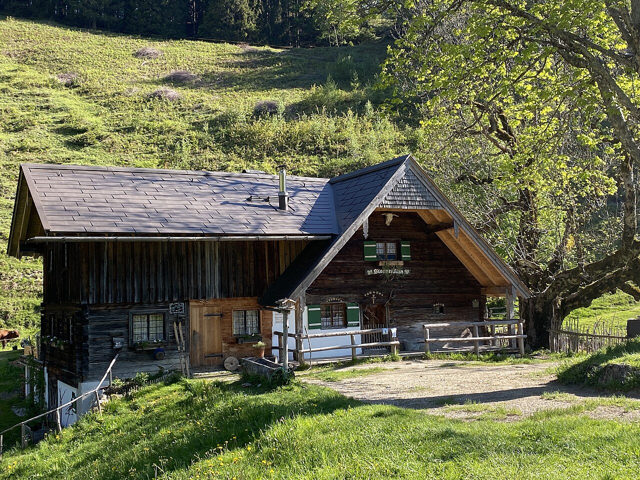
Steiner Alm
A working pasture hut above Obernberg am Brenner, serving simple farm dishes to walkers heading toward the Obernberger See.
Obernbergersee
A mountain lake at the head of the Obernberg valley below the Tribulaun peaks, reached by an easy walk from Obernberg am Brenner.
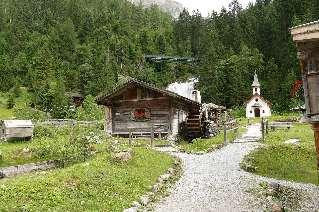
Mühlendorf Gschnitz
5.7 km away, in Gschnitz
An open-air ensemble of restored water mills at Gschnitz in the Gschnitztal, a side valley of the Wipptal, with milling shown in season.
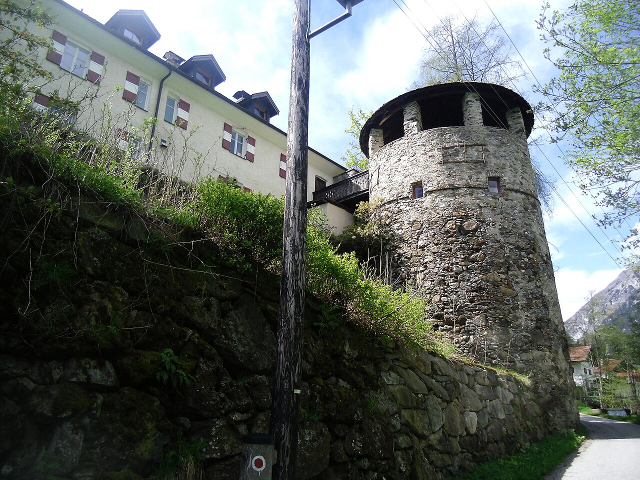
Schloss Schneeberg
8.6 km away, in Trins
A historic castle in the Wipptal, the Tirolean valley running south from Innsbruck towards the Brenner Pass, counted among the area's sights.
Bremer Hütte
11.9 km away, in Steinach am Brenner
An Alpine Club hut at 2,413 m at the head of the Gschnitztal, crossed by the Stubai High Trail on its stage to the Nürnberger Hütte.
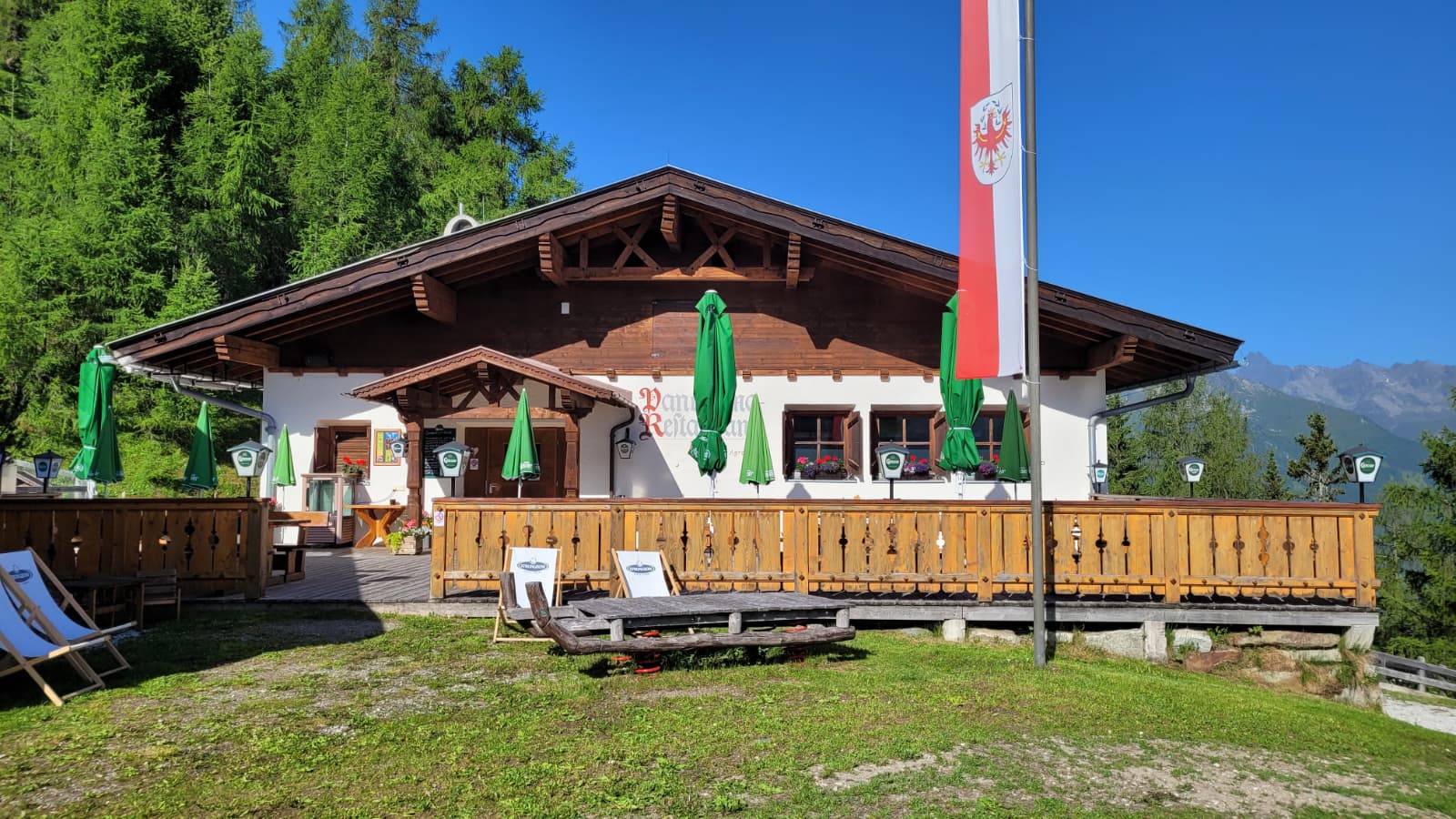
Panoramarestaurant Elfer 1.812m
12 km away, in Neustift im Stubaital
A panorama restaurant at 1,812 m by the Elfer lifts' top station above Neustift, with terrace views along the Stubaital.
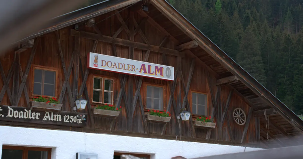
Doadler Alm 1.250m
13.4 km away, in Neustift im Stubaital
A pasture hut at 1,250 m in the upper Stubaital above Neustift, an easy walk up from the valley floor near Falbeson.
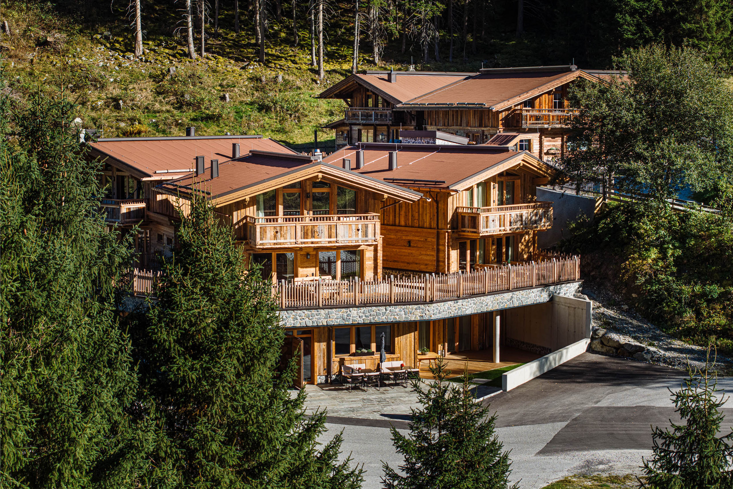
Gletscher Chalet
13.6 km away, in Neustift im Stubaital
A chalet-style mountain restaurant and lodge in the upper Stubaital near Neustift, on the way toward the Stubai Glacier.
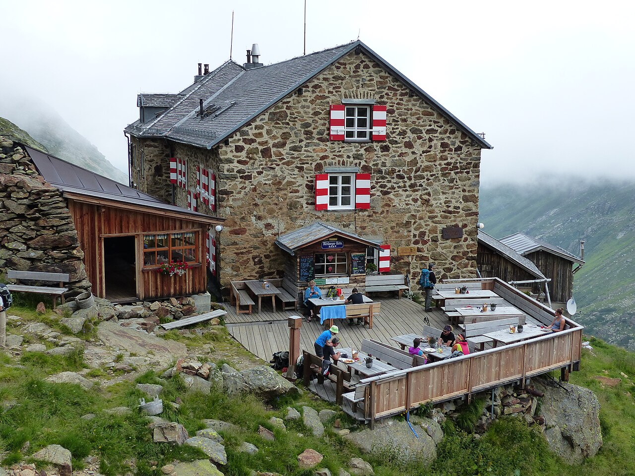
Nürnberger Hütte
13.9 km away, in Neustift im Stubaital
An Alpine Club hut at about 2,280 m in the Langental at the rear of the Stubaital, a Stubai High Trail stage and a base for the Wilder Freiger.
Klettersteig: Nürnberger Hütte
14.1 km away, in Neustift im Stubaital
A protected climbing route beside the Nürnberger Hütte in the rear Stubaital, laid out on the rock close to the Alpine Club hut.
Maria Waldrast 1.640m
14.2 km away, in Mühlbachl
A Servite monastery and pilgrimage church at about 1,640 m below the Serles, with an inn and a spring long credited with healing powers.
Natur Resort Waldrast
14.2 km away, in Mühlbachl
A mountain inn beside the Maria Waldrast monastery below the Serles, reachable on foot or by toll road from Mühlbachl.
Tschangelairalm 1.410m
14.3 km away, in Neustift im Stubaital
A pasture hut at 1,410 m by the Ruetz in the upper Stubaital near Ranalt, an easy stop on the valley path toward the glacier.
Kampler Seestube 1.000m
14.4 km away, in Neustift im Stubaital
A restaurant at about 1,000 m on the shore of the Kampler See near Neustift, serving bathers and cyclists on the valley route.
Nothing of this kind in Obernberg am Brenner.
Routes
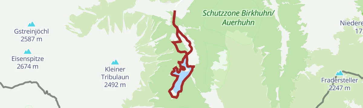
Rundweg Obernberger See
A family loop around the Obernberger See beneath the Tribulaun peaks, passing the small lake chapel on its peninsula and the Oberreinsalm above the shore.
- 6.2 km
- Distance
- 253 m
- Ascent
- 2 h 4 min
- Duration
- 16
- Check-ins
Kammwanderung zum Lichtsee
A ridge walk from the Bergeralm top station along the crest to the Lichtsee and the Nösslachjoch, with the descent towards Obernberg passing the Eggerjoch.
- 13.0 km
- Distance
- 894 m
- Ascent
- 5 h 58 min
- Duration
- 46
- Check-ins
Rundtour Rosslauf-Obernberger Tribulaun-Schwarze Wand-Gstreinjöchl
A demanding circuit at the head of the Obernbergtal, passing the Obernberger See and the Tribulaunhaus and crossing the Portjoch on the Italian border ridge.
- 19.7 km
- Distance
- 2 298 m
- Ascent
- 13 h 45 min
- Duration
- 28
- Check-ins
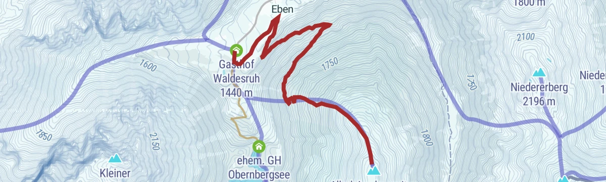
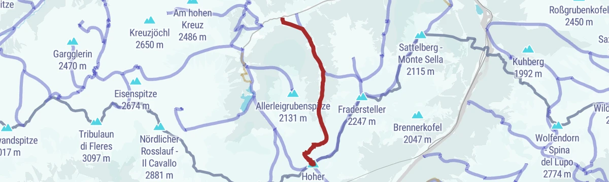
Allerleigrubenspitze (2.131m)
A moderate ski tour from the valley-end parking at the Gasthof Waldesruh in Obernberg, climbing open slopes to a 2,131 m summit above the Obernbergtal.
- 5.2 km
- Distance
- 716 m
- Ascent
- 716 m
- Descent
- 2 h 30 min
- Duration
- 1
- Check-ins
Grubenkopf (2.339 m)
A ski tour from the Obernberg valley head past the frozen Obernberger See and the Oberreinsalm to the Grubenjoch and the border summit rising above it.
- 5.7 km
- Distance
- 903 m
- Ascent
- 903 m
- Descent
- 3 h 4 min
- Duration
- 17
- Check-ins
594 Obernberger Lärchwiesenweg
A mountain-bike route through the larch meadows above Obernberg am Brenner, reaching the Kastenalm at 1,735 m.
- 12.3 km
- Distance
- 465 m
- Ascent
- 1 h 32 min
- Duration
- 8
- Check-ins
528 Mountainbike Nösslach Obernberg Rundtour
A big forest-road circuit above Gries am Brenner, linking the Nösslachhütte, the Kastenalm and the Bergeralm restaurant high above the Wipptal.
- 34.5 km
- Distance
- 1 267 m
- Ascent
- 4 h 15 min
- Duration
- 35
- Check-ins
Seesteig - Obernberger See
An easy outing from the Gasthof Waldesruh to the mountain lake at Obernberg, following the path above the shoreline with the Tribulaun in view.
- 7.2 km
- Distance
- 292 m
- Ascent
- 2 h 24 min
- Duration
- 7
- Check-ins
Steiner Alm über Obernberger See
Past the Obernberger See and the Oberreinsalm to the Steiner Alm, a moderate extension of the lake round deeper into the valley head.
- 8.6 km
- Distance
- 372 m
- Ascent
- 2 h 56 min
- Duration
- 15
- Check-ins
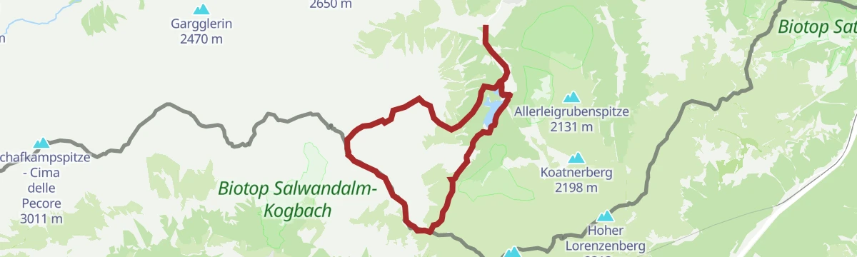
Seeblickweg | Allerleigruben-Hoher Lorenzen-Sandjoch-Obernbergersee
High loop above the Obernberg valley crossing the Allerleigrubenspitze, Hoher Lorenzenberg and the Sandjöchl before dropping past the Obernberger See back toward the village.
- 17.2 km
- Distance
- 1 058 m
- Ascent
- 7 h 17 min
- Duration
- 25
- Check-ins
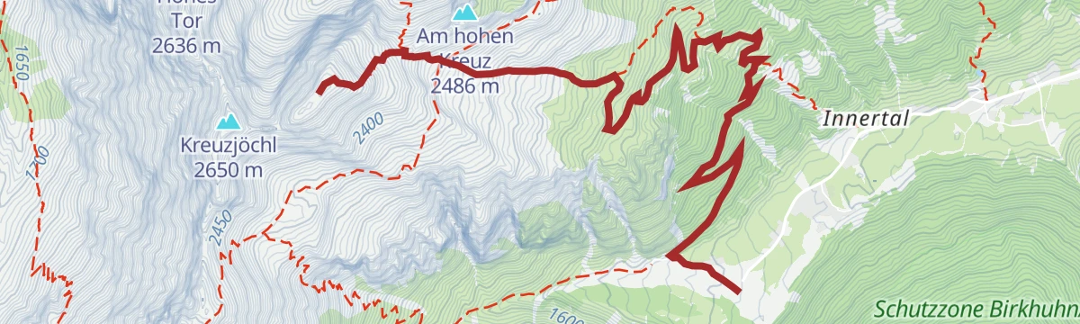
Muttenkopf (2.638 m)
A ski tour from the Obernberg valley head via the Kastenalm to the Muttenjoch and on to the summit slopes above, on the Tribulaun side of the Obernbergtal.
- 6.5 km
- Distance
- 1 208 m
- Ascent
- 1 208 m
- Descent
- 3 h 57 min
- Duration
- 15
- Check-ins
5065 & 5060 Mountainbike Flachjoch - Sattelberg
A steep forest-road climb from the Obernberg valley to the Flachjoch at 2,124 m, a pass on the ridge marking the Italian border.
- 8.8 km
- Distance
- 797 m
- Ascent
- 1 h 54 min
- Duration
- 4
- Check-ins
Grenzkamm Rundtour
A high circuit on the border ridge above Gries, crossing the Sattel and the Flachjoch above 2,000 m past the Obere Wechsel Alm.
- 28.9 km
- Distance
- 1 305 m
- Ascent
- 3 h 48 min
- Duration
- 17
- Check-ins
Seebachweg
Short valley-floor loop along the Seebach at the head of the Obernberg valley, an easy stroll from the Gasthof Waldesruh with almost no climbing.
- 2.3 km
- Distance
- 58 m
- Ascent
- 40 min
- Duration
- 1
- Check-ins
Wanderung zum Lichtsee (2.101 m)
From the Obernbergtal road end a steady climb past the Kastenalm to a mountain lake at 2,101 m; the Gasthof Waldesruh waits near the trailhead for the return.
- 9.9 km
- Distance
- 672 m
- Ascent
- 4 h 31 min
- Duration
- 8
- Check-ins
Obernberger Tribulaun (2.780 m) mit Abstieg über Roßlauf
Demanding circuit from the Obernberg valley past the Obernberger See and over the Portjoch onto the Obernberger Tribulaun, descending across the Roßlauf ridge with its twin summits.
- 14.1 km
- Distance
- 1 487 m
- Ascent
- 9 h 3 min
- Duration
- 17
- Check-ins
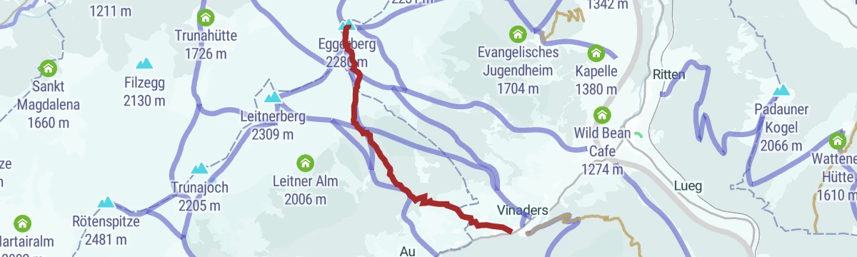
Eggerberg über Vinaders (2.280 m)
Steep ski tour from Vinaders in the Obernbergtal, climbing about 1,000 m through forest clearings and open slopes to the Eggerberg summit.
- 4.8 km
- Distance
- 1 010 m
- Ascent
- 1 010 m
- Descent
- 3 h 13 min
- Duration
- 5
- Check-ins
Muttenkopf (2.638)
Steep summit hike from the head of the Obernberg valley past the Kastenalm to the Muttenjoch, then up to the Muttenkopf; gains almost 1,200 m in only 7 km.
- 7.6 km
- Distance
- 1 197 m
- Ascent
- 6 h 51 min
- Duration
- 15
- Check-ins
Hoher Lorenzen (2.313 m)
Ski tour starting at the church in Obernberg that climbs steadily through forest clearings and open slopes to the summit of the Hoher Lorenzenberg.
- 6.6 km
- Distance
- 939 m
- Ascent
- 939 m
- Descent
- 3 h 16 min
- Duration
- 1
- Check-ins
Rundtour Martairalm-Muttenjoch-Gstreinjöchl-Tribulaunhütte
Big Gschnitztal circuit from St. Magdalena over the Muttenjoch and Gstreinjöchl to the Tribulaunhaus, a full alpine day beneath the Tribulaun walls.
- 19.3 km
- Distance
- 1 557 m
- Ascent
- 10 h 1 min
- Duration
- 14
- Check-ins
Leitnerberg (2.309 m)
Compact ski tour from Gasthaus Vinaders at the mouth of the Obernberg valley, climbing over 1,000 m in barely 4.5 km to the Leitnerberg summit.
- 4.2 km
- Distance
- 1 033 m
- Ascent
- 1 033 m
- Descent
- 3 h 13 min
- Duration
Gstreinjöchl (2.563)
Steady climb from the Ortsende Obernberg parking near Gasthof Waldesruh through forest and high pasture to the Gstreinjöchl notch at 2,563 m.
- 5.6 km
- Distance
- 1 154 m
- Ascent
- 6 h 25 min
- Duration
- 1
- Check-ins
No routes of this kind in Obernberg am Brenner yet.
The region's own picks
Featured route
Rundweg Obernberger See
A family loop around the Obernberger See beneath the Tribulaun peaks, passing the small lake chapel on its peninsula and the Oberreinsalm above the shore.
Planning a trip to Obernberg am Brenner?
Everything else Tyrol has, in one place


Take Obernberg am Brenner with you into the mountains
Every route on this page with 3D terrain, GPX navigation and offline maps — including the valleys with no signal.
Data sources
- Official website: wipptal.at ↗
- Routes and highlights: Wipptal Tourismus, Tourismusverband Stubai Tirol
- Published as open data by the tourist boards named above.
- Region summary generated from the board's own material.
