
 Viewpoint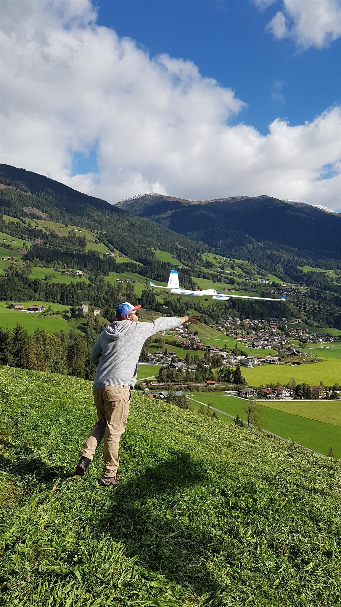
 Cable car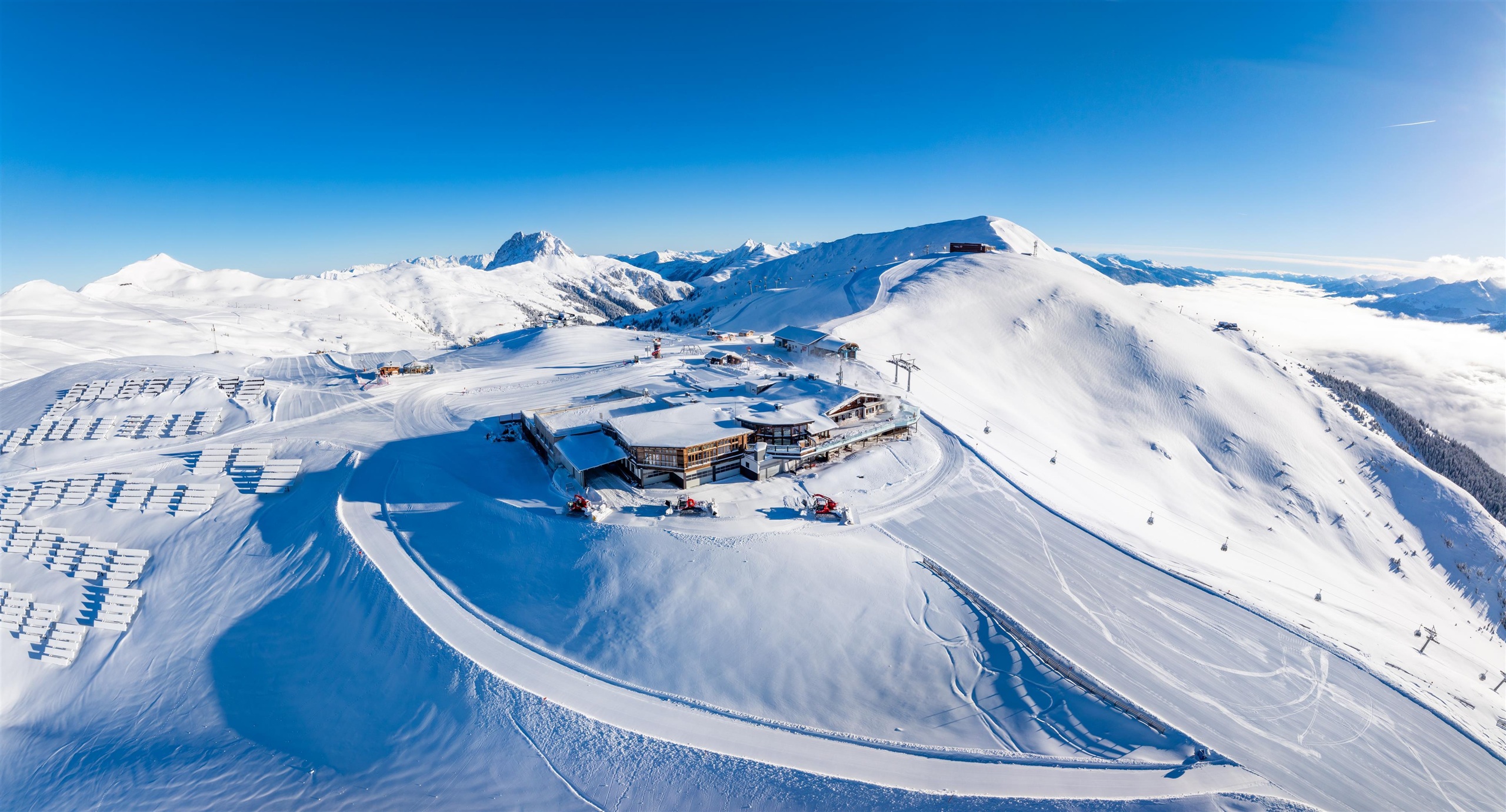






















Curated by Wildkogel-Arena
Neukirchen am Großvenediger
Four settlements along the upper Salzach in the Oberpinzgau, facing the Großvenediger and its glaciers across the valley, inside the Hohe Tauern national park.
- 41Highlights
- 58Routes
- Featured summit · Großvenediger
Highlights
The 20 highest-rated · see the rest on wildkogel-arena.at ↗
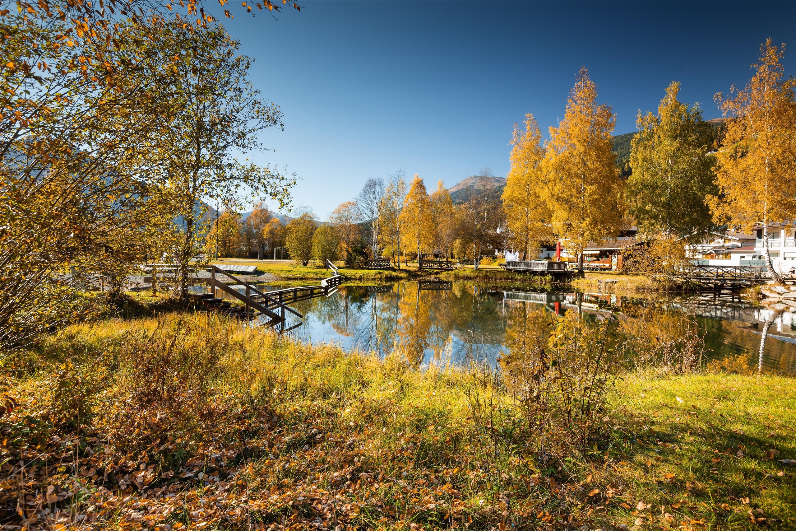
Naturbadeanlage - Angeln
A natural bathing lake near Neukirchen am Großvenediger that also serves as fishing water in the Oberpinzgau.
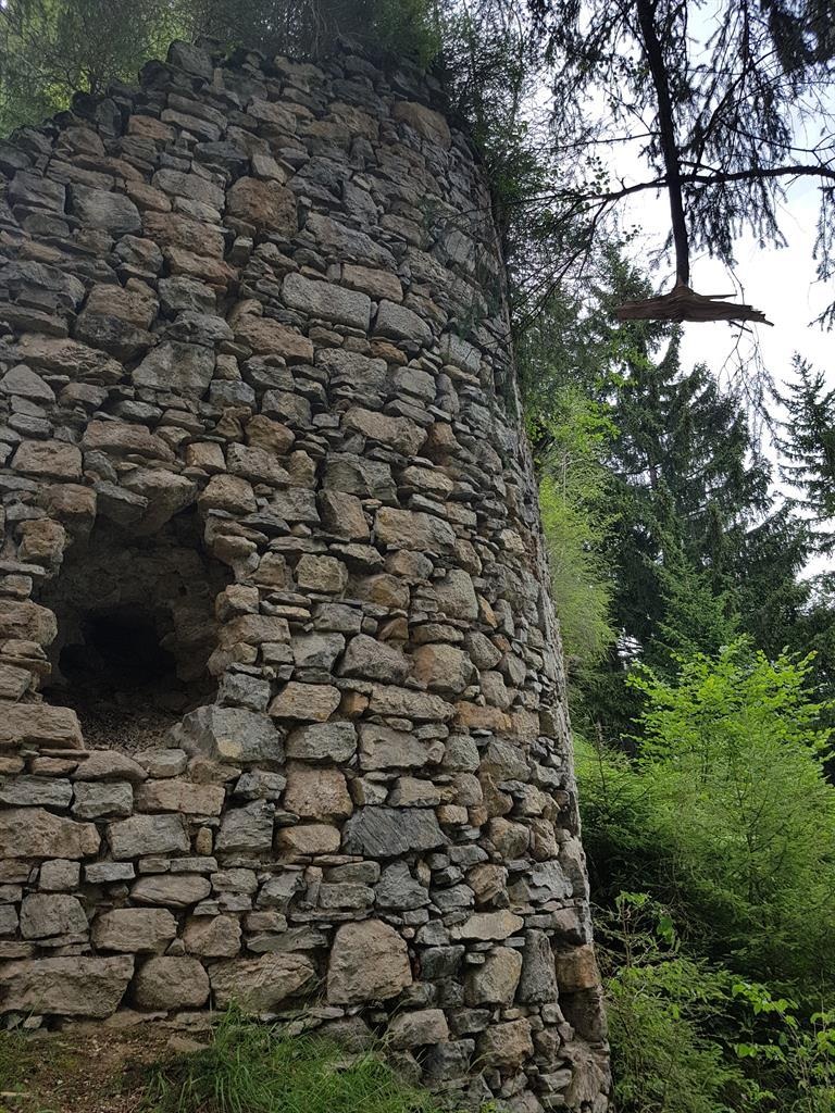
Burgruine Friedburg
The ruins of Friedburg castle on a rise above Neukirchen am Großvenediger, with views over the Oberpinzgau.
Modellfliegen beim Gasthof Friedburg
A model aircraft flying site at the Gasthof Friedburg in the Neukirchen am Großvenediger area of the Oberpinzgau.
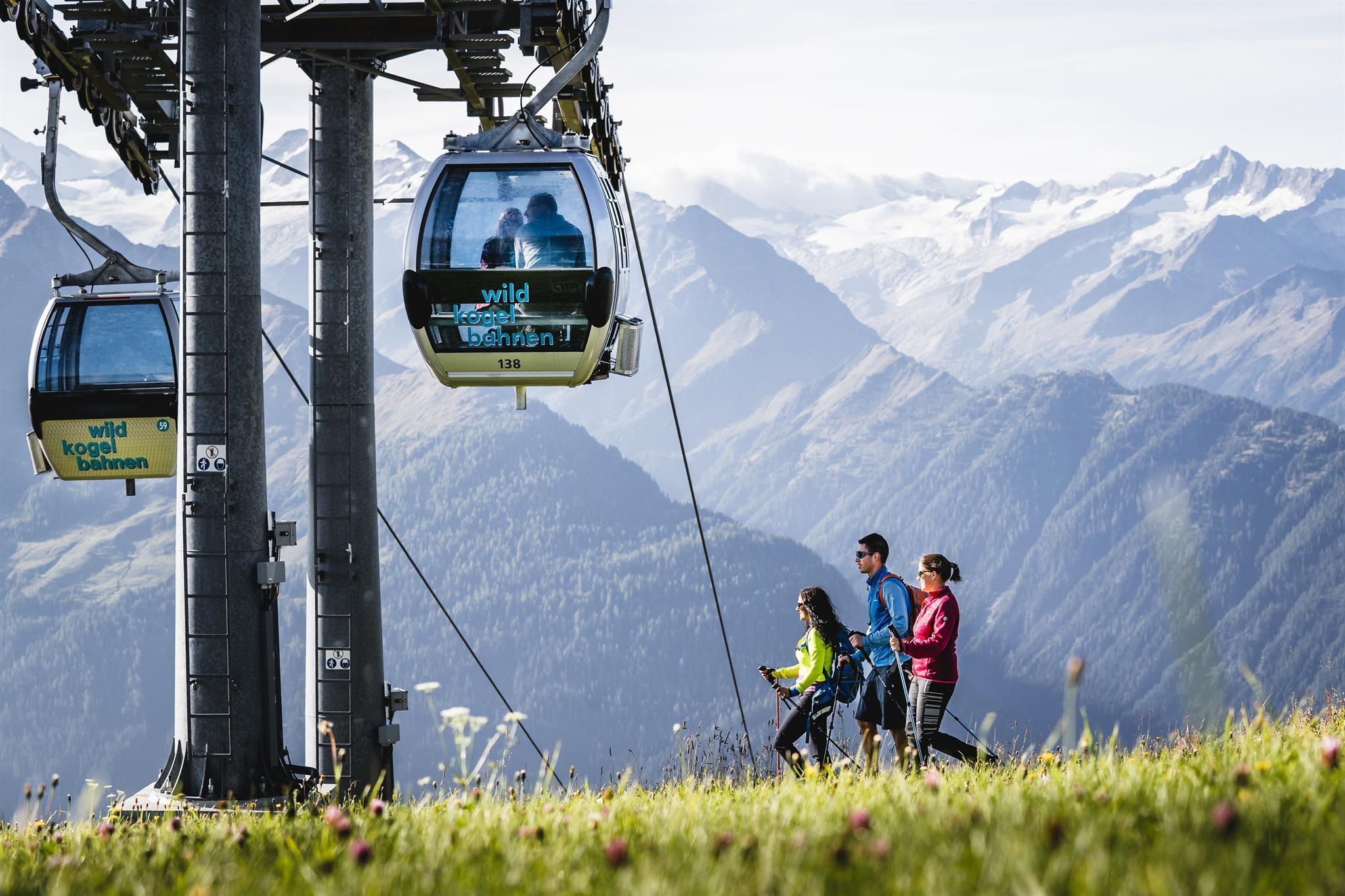
Wildkogelbahn Sommer
The Wildkogel gondola in its summer season, taking walkers from Neukirchen am Großvenediger up to the trails on the mountain.
Wildkogelbahn Winter
The gondola from Neukirchen am Großvenediger up the Wildkogel, the main winter access to the Wildkogel-Arena pistes.
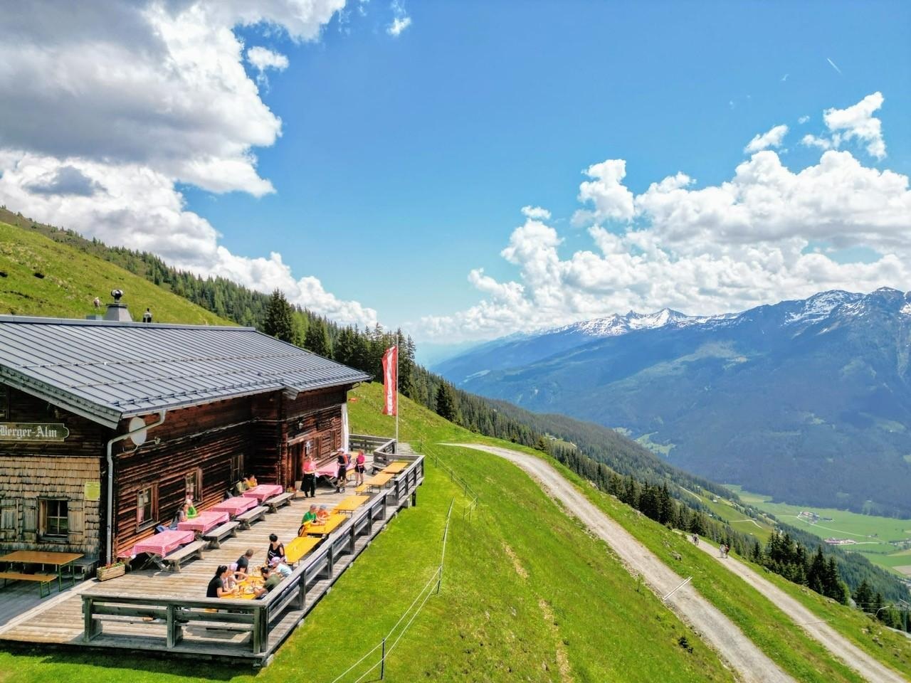
Bergeralm 1.742 m am Wildkogel
A mountain restaurant at 1,742 m on the Wildkogel above Neukirchen, serving regional dishes to skiers and walkers.
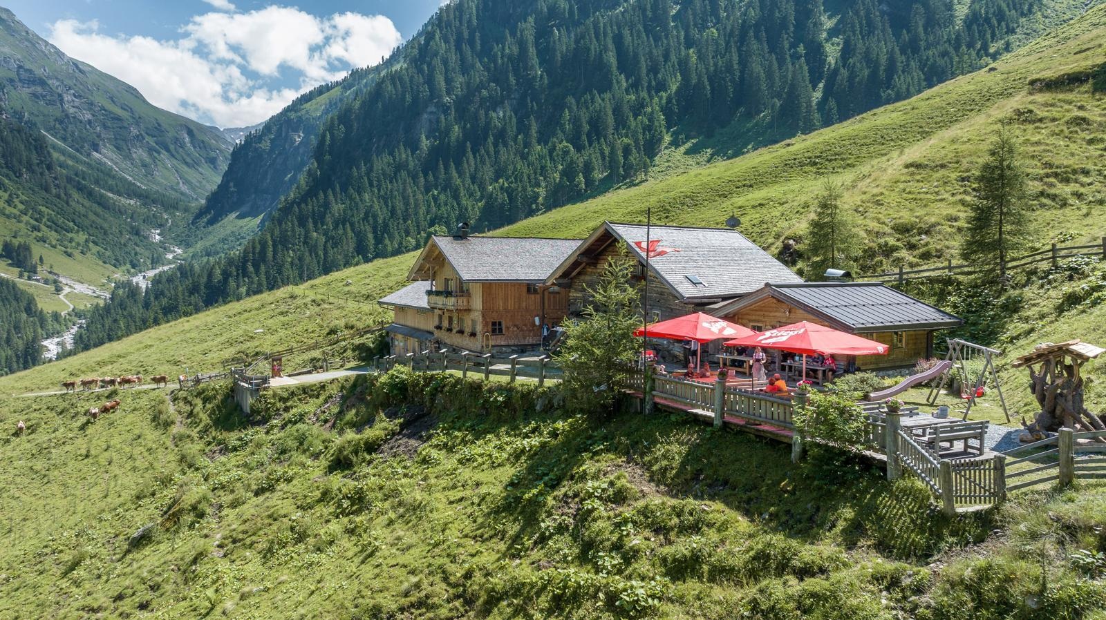
Finkalm 1.395 m im Untersulzbachtal
A pasture inn at 1,395 m in the Untersulzbachtal above Neukirchen, which also sells its own farm produce.
Kampriesenalm 1.415 m im Obersulzbachtal
A pasture inn at 1,415 m in the Obersulzbachtal above Neukirchen, on the track into the Hohe Tauern National Park.
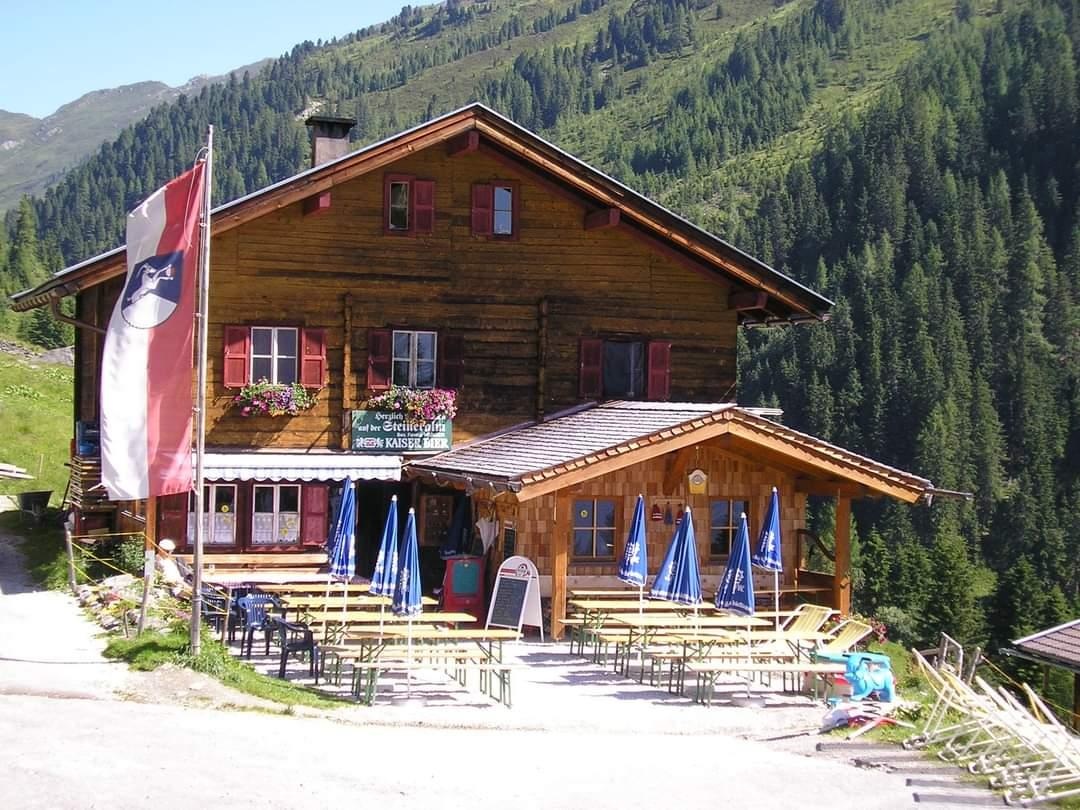
Steineralm 1.595 m im Dürnbachtal
A pasture hut at 1,595 m in the Dürnbachtal, a side valley above Neukirchen am Großvenediger.
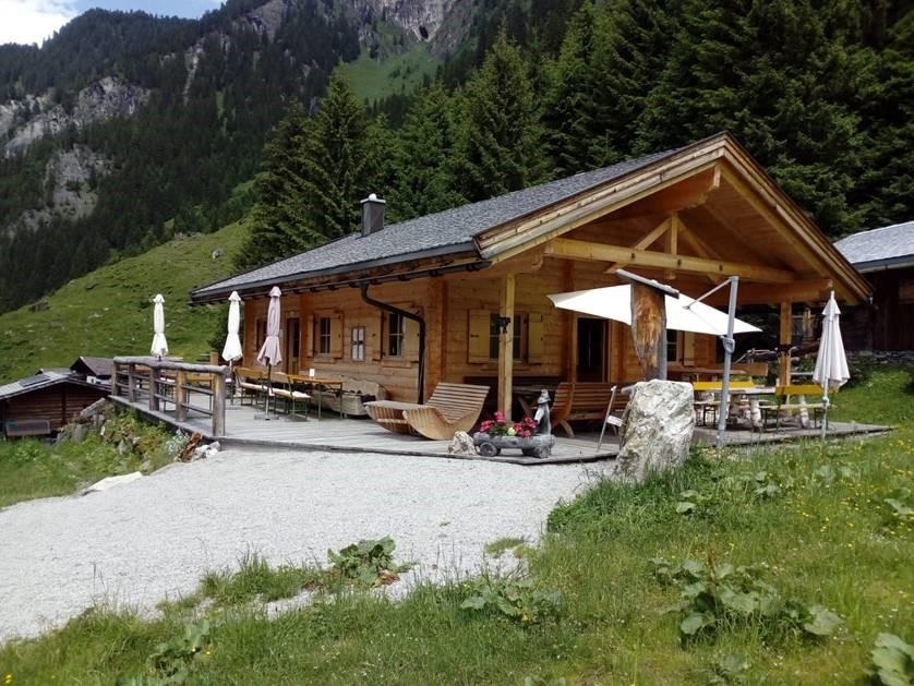
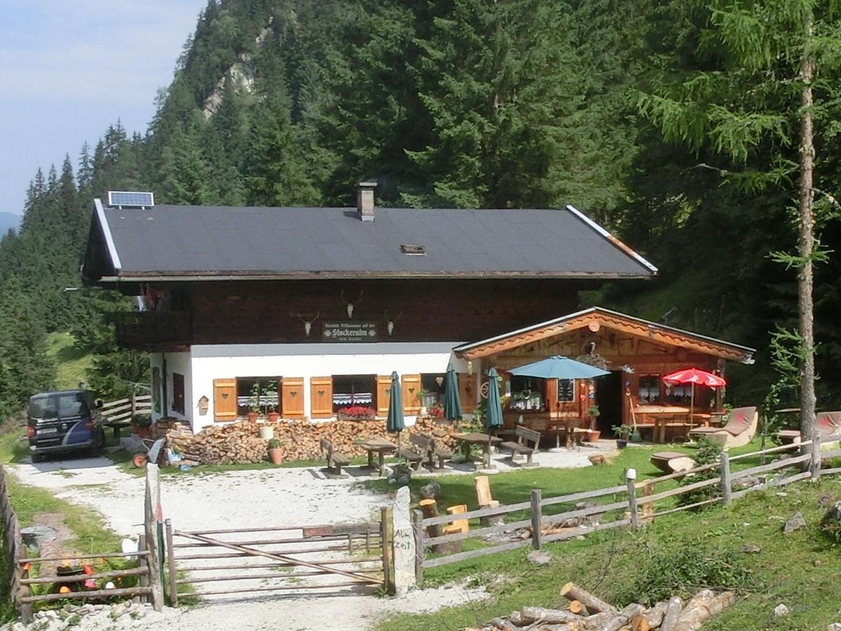
Stockeralm 1.280 m im Untersulzbachtal
A pasture hut at 1,280 m in the Untersulzbachtal, on the valley track leading from Neukirchen into the Hohe Tauern.
Panorama Bogensport Neukirchen
An outdoor archery and crossbow range in the Neukirchen am Großvenediger area of the Oberpinzgau.
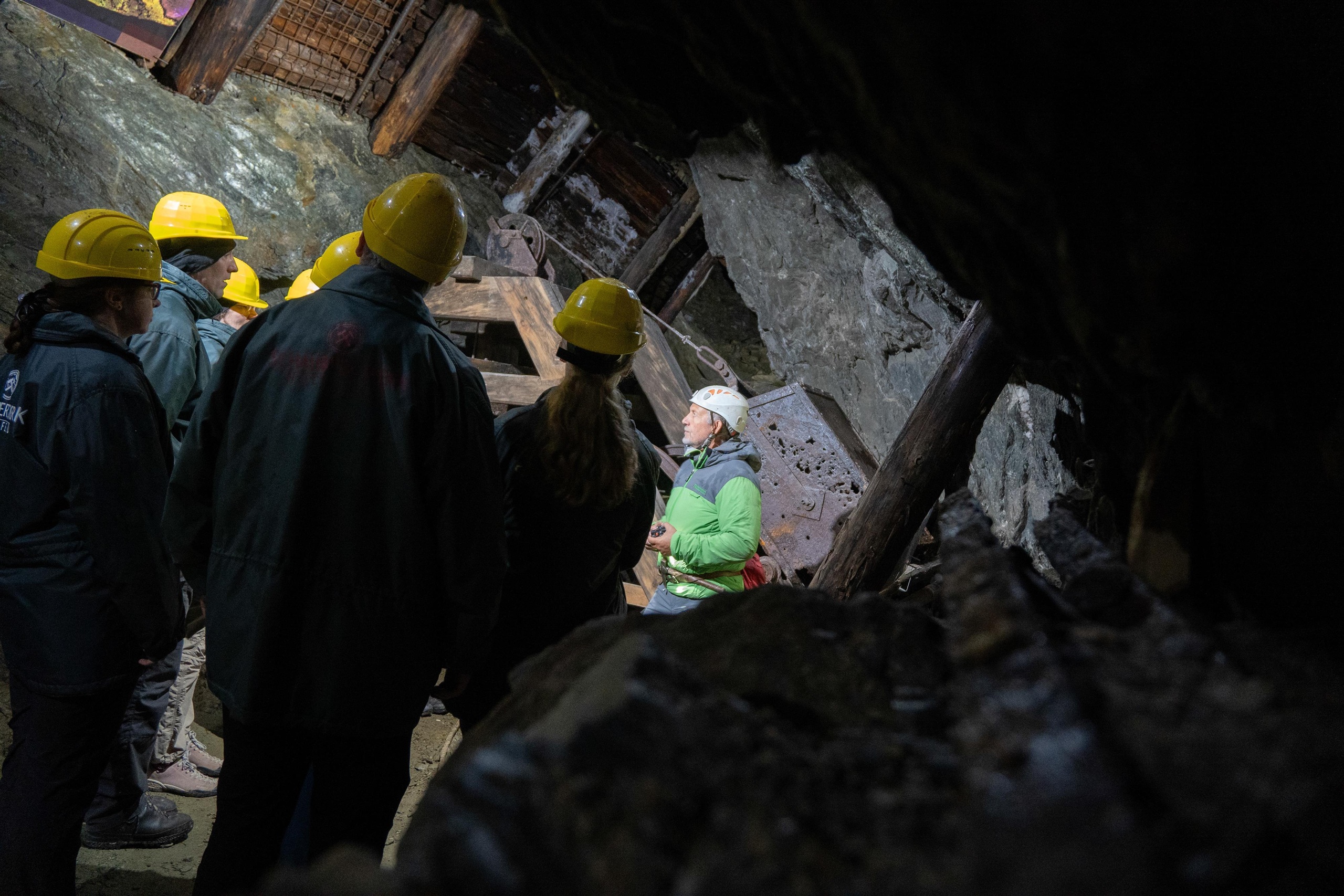
Schaubergwerk Hochfeld
A former mine at Hochfeld in the Untersulzbachtal above Neukirchen am Großvenediger, open to visitors on guided tours.
Gasthof Friedburg
A country inn in the Neukirchen am Großvenediger area of the Oberpinzgau, open to walkers and day visitors.
Bergbahnen Wildkogel
The operator of the Wildkogelbahn at Neukirchen am Großvenediger, the gondola up to the Wildkogel ridge.
Bergbahnen Wildkogel im Sommer
The Wildkogel lifts in summer, giving walkers access from Neukirchen and Bramberg to the trails on the mountain.
Das Skigebiet Wildkogel-Arena
The ski area on the Wildkogel, shared by Neukirchen am Großvenediger and Bramberg in the Oberpinzgau.
Die Kogel-Mogel Kinderbereiche im Skigebiet Wildkogel-Arena
Children's learning areas called Kogel-Mogel in the Wildkogel-Arena ski area above Neukirchen and Bramberg.
Eggerfeld Anfängerlift Neukirchen
A beginners' lift at Eggerfeld in Neukirchen am Großvenediger, used for first turns on skis.
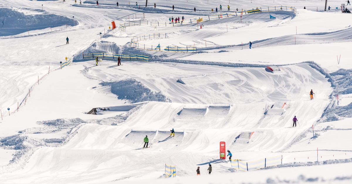
Funslope & Familypark in der Wildkogel-Arena
A funslope and family park laid out on the Wildkogel pistes above Neukirchen and Bramberg, with banks, waves and jumps.
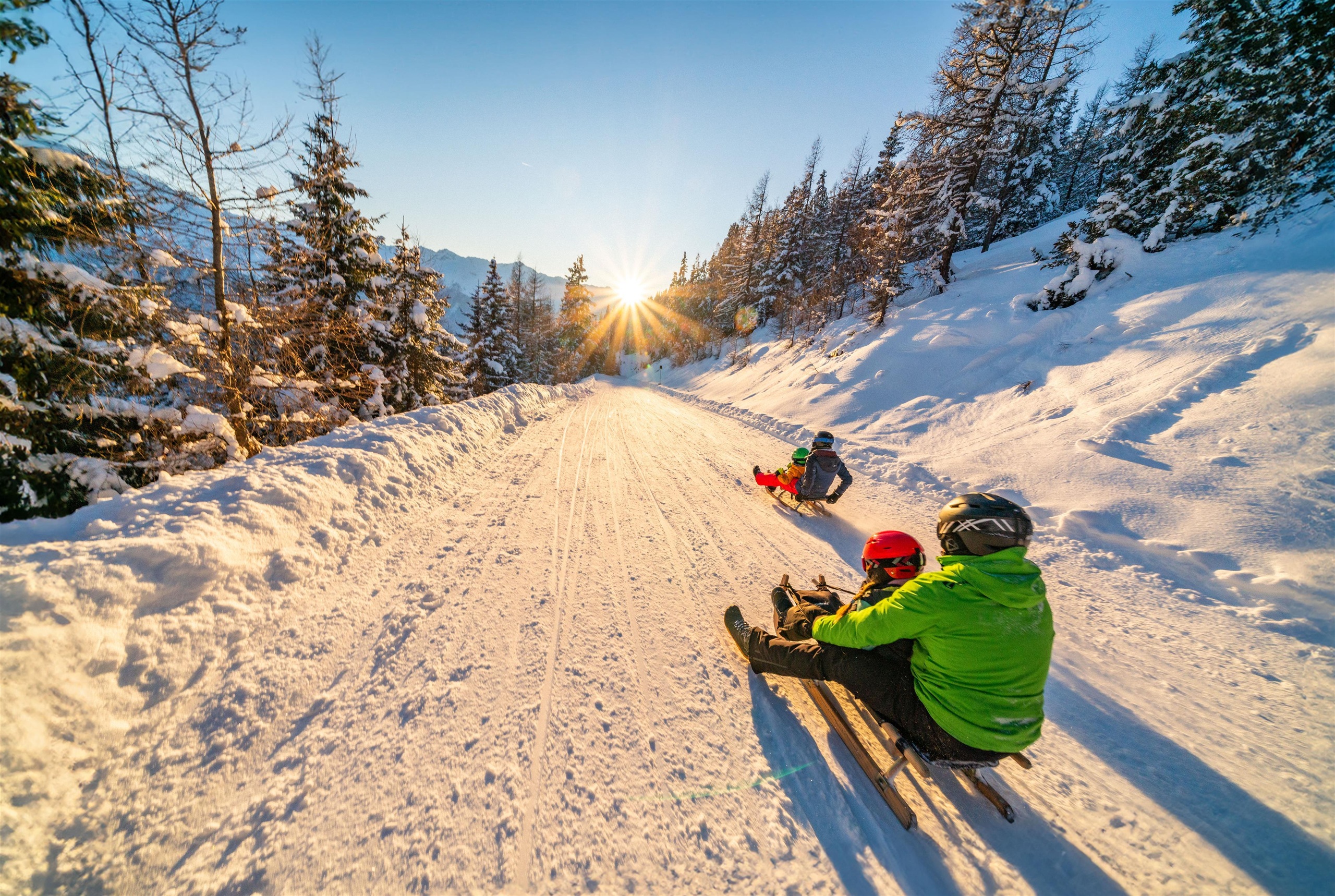
Kühnreitrodelbahn
A toboggan run at Kühnreit near Neukirchen am Großvenediger, sledged in winter in the Oberpinzgau.
Nothing of this kind in Neukirchen am Großvenediger.
Routes
50 routes, an even mix of activities · see the rest on wildkogel-arena.at ↗
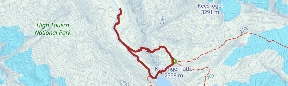
Neukirchen: Kürsingersteig Klettersteig
Secured line up to the Kürsingerhütte at about 2,550 m, starting from the valley station of the hut's material cable car.
- 6.6 km
- Distance
- 627 m
- Ascent
- 4 h 56 min
- Duration
- 41
- Check-ins
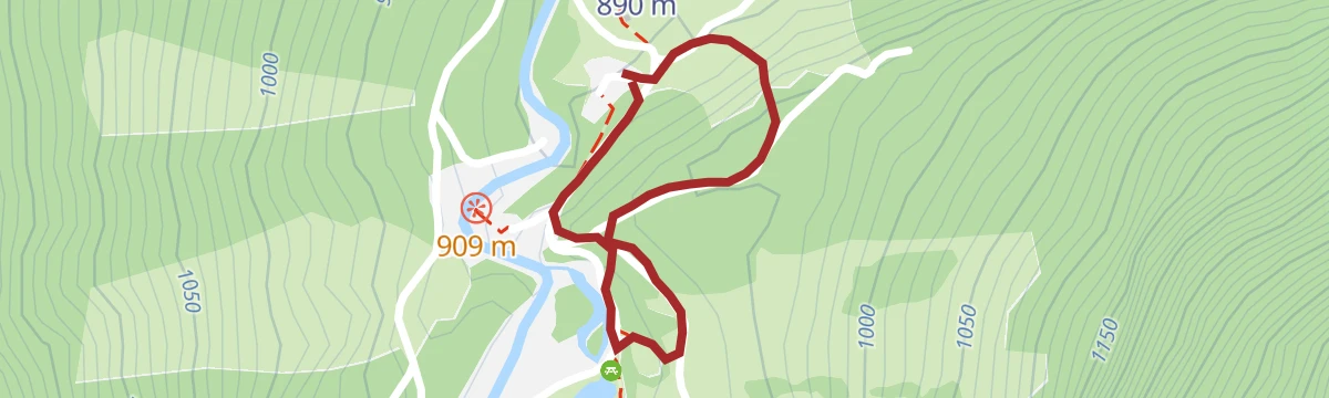
Neukirchen: Blausee Familien Klettersteig
Short, easy secured climb by the Blausee at the mouth of the Obersulzbachtal below the Großvenediger, suited to families.
- 1.0 km
- Distance
- 46 m
- Ascent
- 31 min
- Duration
- 4
- Check-ins
Neukirchen/Bramberg: 3-Seen-Rundweg
A short circuit from the Wildkogelbahn mountain station on waymarked paths 13 and 17, passing the ski arena's storage lake and the Gensbichlscharte, all of it above 2,000 m.
- 5.5 km
- Distance
- 136 m
- Ascent
- 1 h 37 min
- Duration
- 44
- Check-ins
Neukirchen: Walsbergalm-Rundweg
A 2.5-hour round from the gondola top over the Wildkogel, taking in the Wildkogel Alm, the Wildkogel Haus and the arena reservoir before dropping back to the lift.
- 7.1 km
- Distance
- 361 m
- Ascent
- 2 h 37 min
- Duration
- 103
- Check-ins
Etappe 9: Alpina Antica Trail | ET9: Wildkogelbahn - Hollersbach
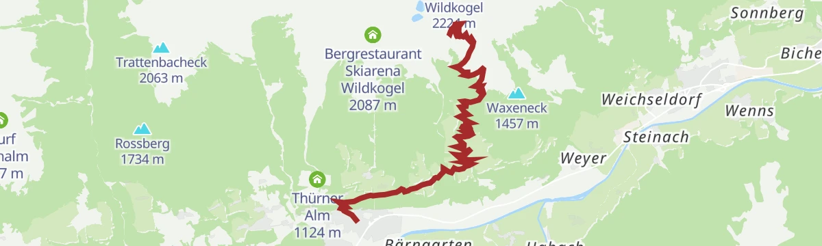
Two halves in one long day: an open grassy ridge traverse of the Wildkogel that stays above 1,750 m, then a sustained descent into the Salzach valley to finish at Hollersbach.
- 15.1 km
- Distance
- 262 m
- Ascent
- 5 h 28 min
- Duration
- 85
- Check-ins
Neukirchen: Blausee
An easy loop out of Neukirchen am Großvenediger to the Blausee, passing the Gasthof Siggen with barely any climbing on the way.
- 5.3 km
- Distance
- 91 m
- Ascent
- 32 min
- Duration
- 2
- Check-ins
Neukirchen: 3B Untersulzbachtal
A climb up a side valley at Neukirchen past waterfall viewpoints and the Albert-Schell-Kanzel to the Finkalm at 1,384 m.
- 10.6 km
- Distance
- 568 m
- Ascent
- 1 h 20 min
- Duration
- 8
- Check-ins
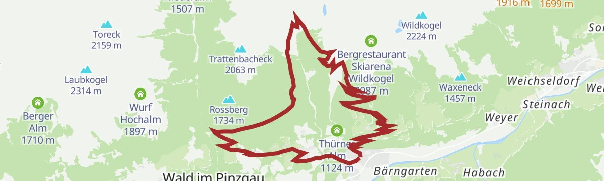
Bramberg: 4H, 3D, 4A, 4B Bramberg - Wildkogel -Steineralm
A long circuit from the valley floor up to the Wildkogel ridge, passing the Speichersee at 2,098 m and the Wildkogel Alm before the drop home.
- 34.9 km
- Distance
- 1 322 m
- Ascent
- 4 h 20 min
- Duration
- 113
- Check-ins
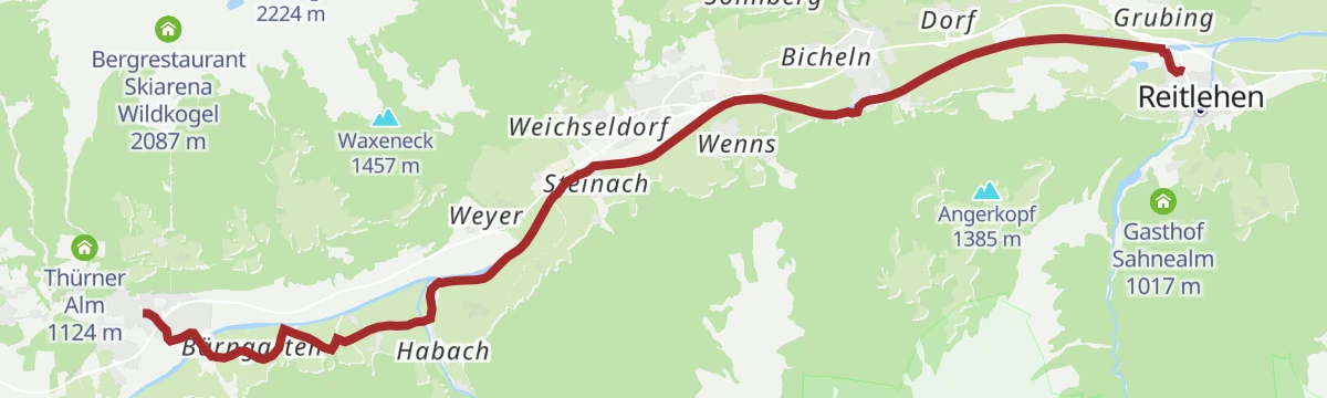
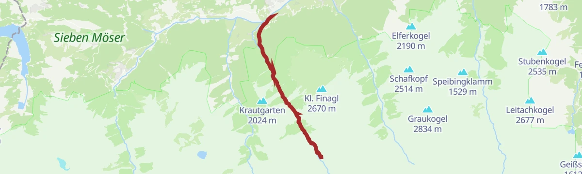
Radtour von Zell am See - Krimml
A long valley ride up the Salzach from Zell am See through Mittersill and Wald to Krimml, at the head of the Oberpinzgau.
- 67.1 km
- Distance
- 741 m
- Ascent
- 6 h 39 min
- Duration
- 24
- Check-ins
 Bergschmied 817 m
 Tagesspeicher Krimmler Ache 1 048 m
- Tourismusinfo Mittersill-Hollersbach-Stuhlfelden 786 m
- Einödhof 768 m
- Rechenmacherhütte 826 m
- Tourismusverband Wald-Königsleiten 875 m
- +5
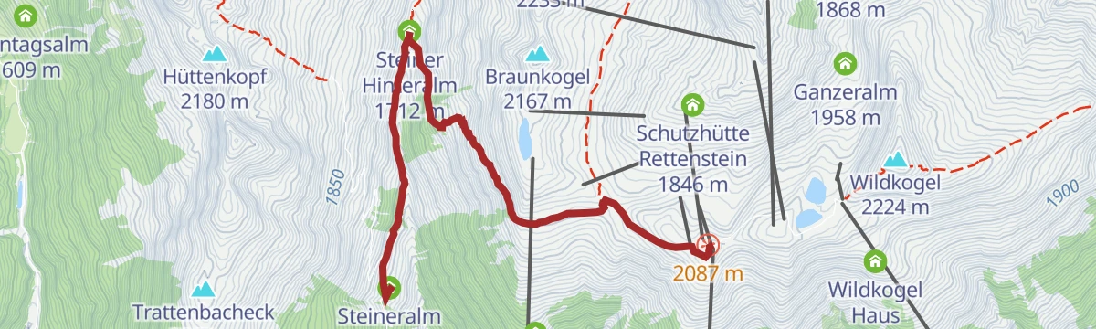
Neukirchen: Bergstation Wildkogelbahn - Steineralm
A one-way walk from the lift top station over the Gensbichlscharte down to the Steineralm, giving up close to 500 m of height with almost no climbing in return.
- 5.4 km
- Distance
- 0 m
- Ascent
- 1 h 43 min
- Duration
- 41
- Check-ins
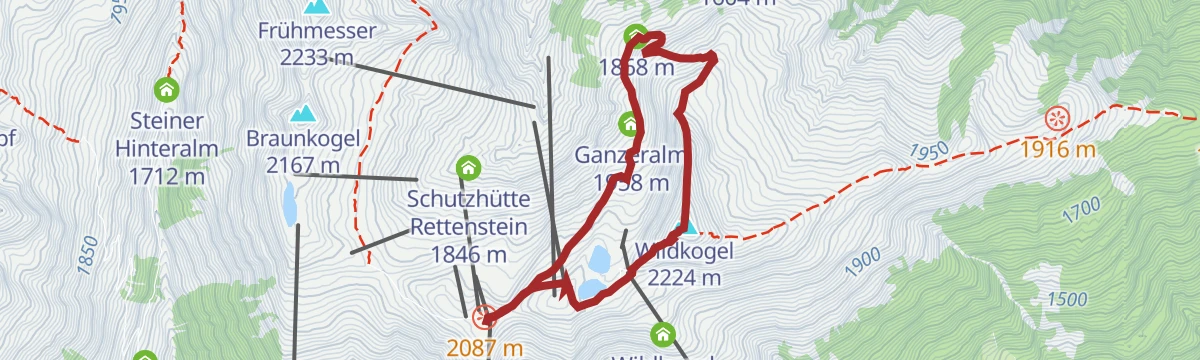
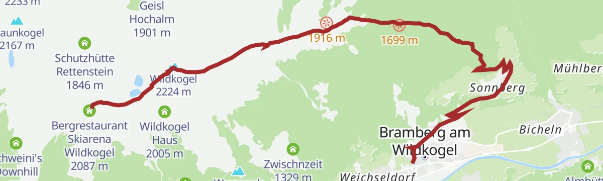
Neukirchen: Wildkogel Panoramaweg
A two-hour round over the 2,224 m Wildkogel, curving past the Geisl Hochalm and the Ganzeralm before returning to the Wildkogelbahn mountain station.
- 6.1 km
- Distance
- 357 m
- Ascent
- 2 h 29 min
- Duration
- 96
- Check-ins
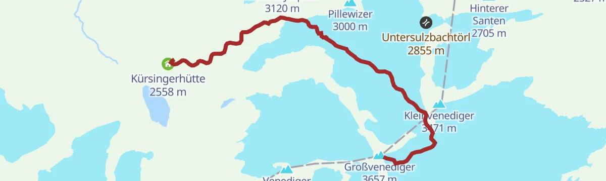
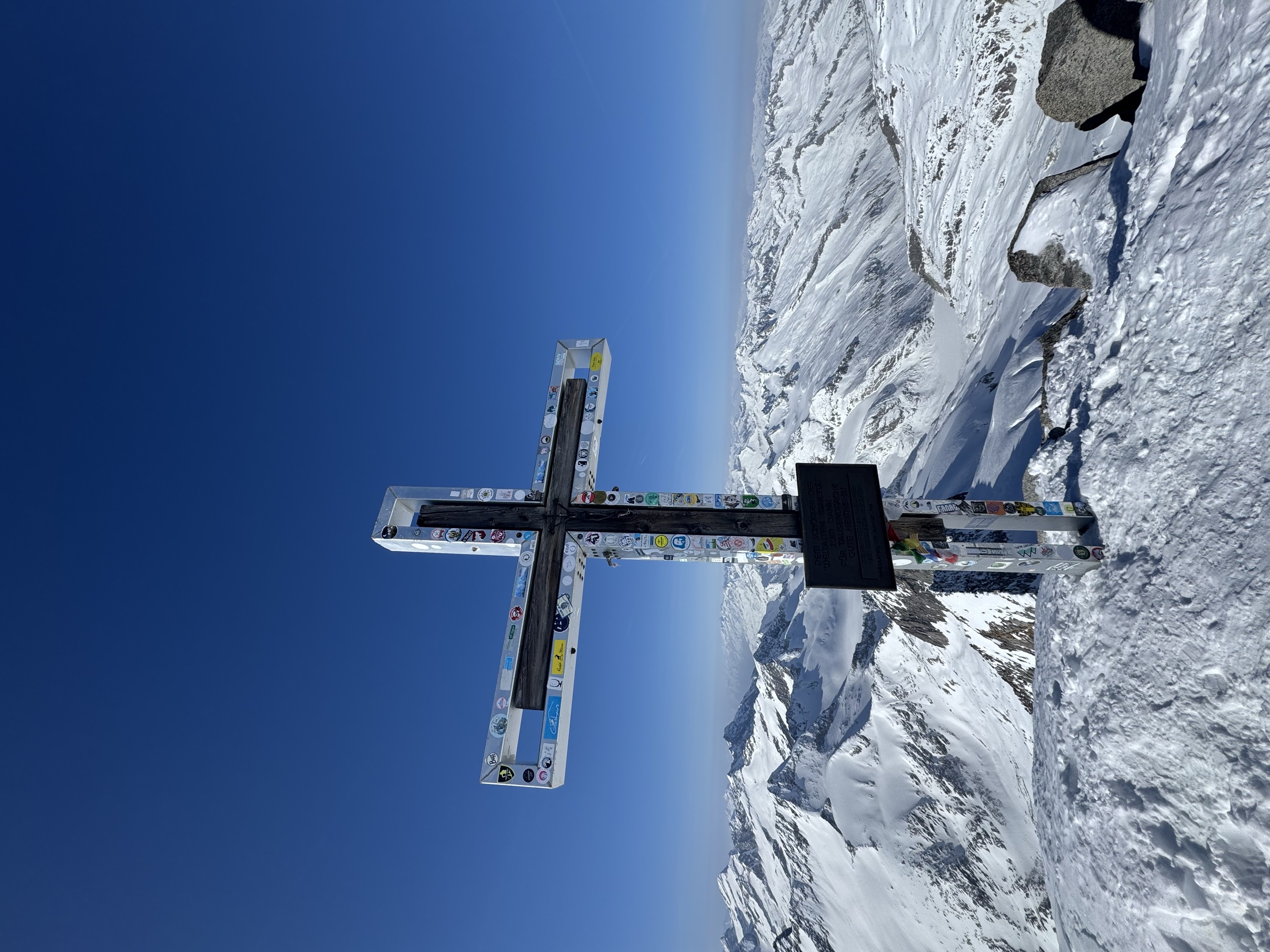
Neukirchen: Großvenediger Tour
The high glacier route from the Kürsingerhütte, past the Winterlager and over the Venedigerscharte to the 3,657 m summit; reckon five hours from hut to top.
- 7.2 km
- Distance
- 1 265 m
- Ascent
- 5 h 10 min
- Duration
- 75
- Check-ins
Neukirchen: 3A Blausee bis zum Parkplatz Hopffeldboden
A short valley climb past the Gasthof Siggen from the lake at 924 m to the car park at the mouth of the side valley.
- 7.8 km
- Distance
- 264 m
- Ascent
- 51 min
- Duration
- 4
- Check-ins
Neukirchen: 3G, 3D, 4K, 4B, 4A, Bike-Trail Wildkogel
A long mountain-bike link above Neukirchen, climbing to the Wildkogel Alm and the Gensbichlscharte before dropping past Schweini's Downhill Bar.
- 32.1 km
- Distance
- 1 298 m
- Ascent
- 4 h 4 min
- Duration
- 82
- Check-ins
Neukirchen: Bergstation Wildkogelbahn - Mittelstation
A downhill link from the Wildkogel ridge past the Wildkogel Haus and the arena reservoir to the mid-station, some 450 m of descent on broad service paths.
- 4.1 km
- Distance
- 30 m
- Ascent
- 1 h 27 min
- Duration
- 36
- Check-ins
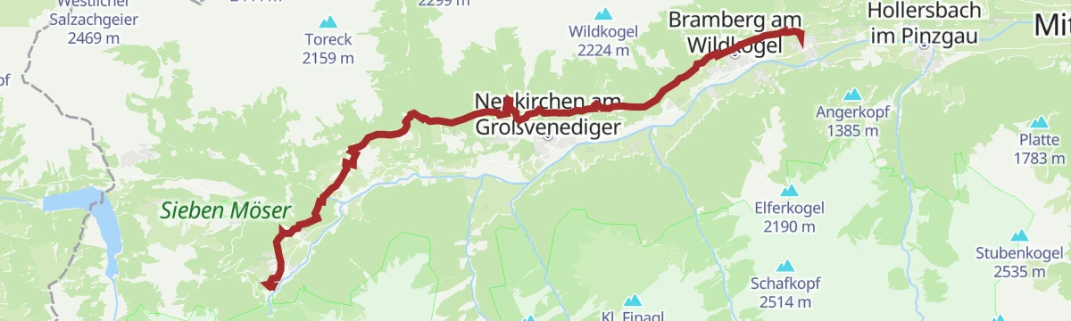
Neukirchen: Wildkogel und Filzenhöhe
Mostly a descent rather than a climb: over the Wildkogel and then down 1,400 m of waymarked paths to the valley floor at 820 m, about four hours in all.
- 11.1 km
- Distance
- 149 m
- Ascent
- 4 h 23 min
- Duration
- 85
- Check-ins
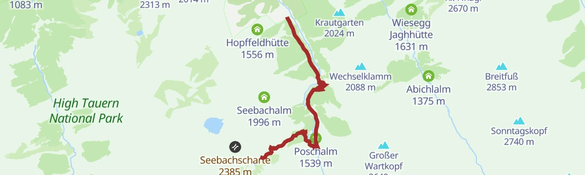
Neukirchen: Hopffeldboden - Kürsingerhütte
A hut approach of nearly 1,500 m from the Hopffeldboden car park, following the Obersulzbachtal past the Berndlalm and Poschalm to the Kürsingerhütte at 2,548 m.
- 13.5 km
- Distance
- 1 523 m
- Ascent
- 6 h 26 min
- Duration
- 73
- Check-ins
Neukirchen: 3H - Wildalm
A short, steep climb from the village centre of Neukirchen up to the Wildalm at 1,694 m, with almost all the height gained on the way up.
- 8.4 km
- Distance
- 849 m
- Ascent
- 1 h 23 min
- Duration
- 2
- Check-ins
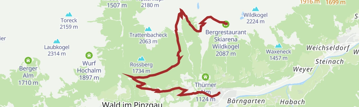
Neukirchen: 3G, 3D, 4F, 4D, 4B, 4A, Neukirchen - Wildkogel - Baumgartenalm
A 37 km traverse of the Wildkogel from Neukirchen to Bramberg, over the Gensbichlscharte at 2,021 m and past the Geisl Hochalm.
- 37.0 km
- Distance
- 1 432 m
- Ascent
- 4 h 38 min
- Duration
- 60
- Check-ins
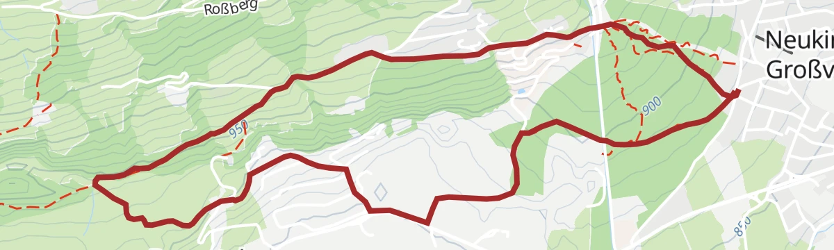
Neukirchen: Neukirchen-Abelhof-Ruine Hieburg-Neukirchen
A gentle valley loop out of Neukirchen by way of the Abelhof and the Hieburg ruin, staying between 880 and 1,040 m and back at the start inside two hours.
- 5.4 km
- Distance
- 134 m
- Ascent
- 1 h 36 min
- Duration
Neukirchen: Geislalmweg
An alm traverse that loses more height than it gains, running from the gondola top past the Geisl Hochalm and Ganzeralm to the Baumgartenalm at 1,365 m.
- 8.7 km
- Distance
- 72 m
- Ascent
- 2 h 51 min
- Duration
- 67
- Check-ins
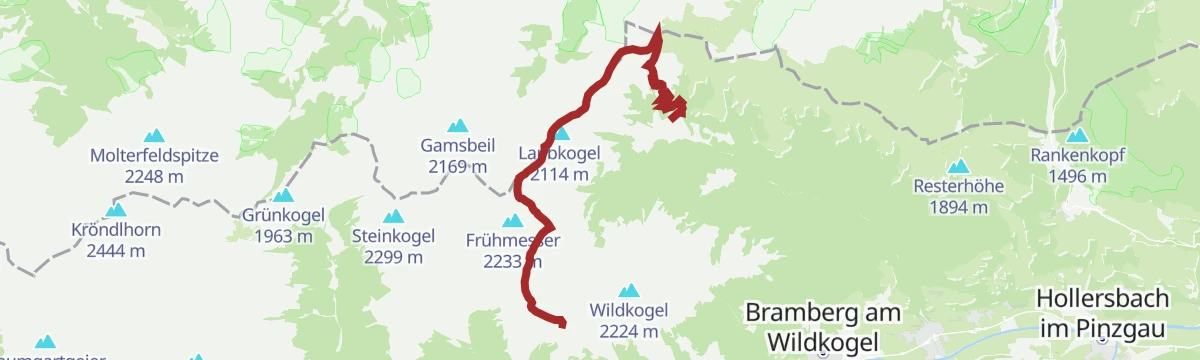
Hohe Tauern Panorama Trail Etappe 4: Wildkogel
Stage four climbs the Frühmesser and the Grasleitkopf, whose summits look across to the Großvenediger, then descends by the Gensbichlscharte to the Steineralm and Rechtegg.
- 12.7 km
- Distance
- 1 061 m
- Ascent
- 5 h 13 min
- Duration
- 59
- Check-ins
Neukirchen: 4A Salzachradweg
A near-level route along the Salzach through the Oberpinzgau, starting from the tourist office in Neukirchen am Großvenediger.
- 13.0 km
- Distance
- 21 m
- Ascent
- 1 h 11 min
- Duration
- 2
- Check-ins
Neukirchen: 3G, 3D, 4G, 4F, Rundweg Neukirchen - Geisl-Hochalm über Haferlalm
A circuit with more than 2,000 m of climbing across the Wildkogel, taking in the Gensbichlscharte, the Ganzeralm and the Schutzhütte Rettenstein.
- 39.2 km
- Distance
- 2 027 m
- Ascent
- 5 h 34 min
- Duration
- 57
- Check-ins
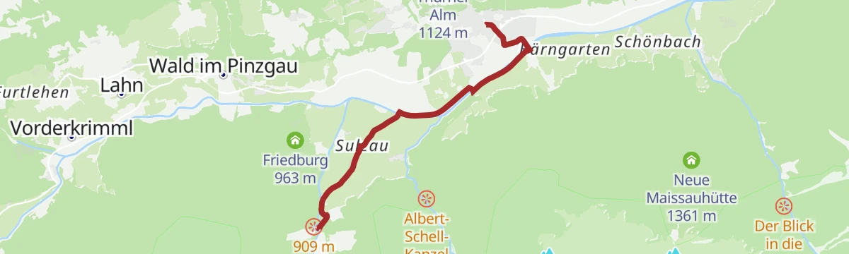
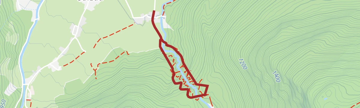
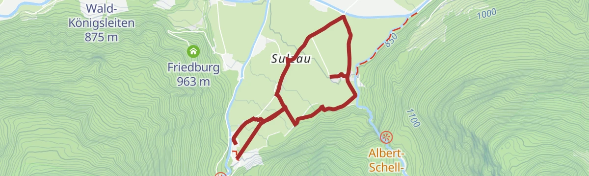
Neukirchen: Untersulzbach Wasserfall Rundweg
A one-hour circuit from Sulzau up to the Untersulzbach waterfall and back on path 22B, with under 200 m of climbing.
- 2.1 km
- Distance
- 189 m
- Ascent
- 1 h 10 min
- Duration
Neukirchen: Kogelweg
A long, almost entirely downhill line from the Wildkogel ridge past the Rechenmacherhütte to the Salzach valley floor, ending some 1,300 m below the start.
- 12.3 km
- Distance
- 52 m
- Ascent
- 4 h 11 min
- Duration
- 62
- Check-ins
Neukirchen: Höhensteig
A six-hour ridge chain from the lift top over the Frühmesser, Steinkogel, Geige and Speikkogel, crossing the Geigenscharte before the long drop to the valley.
- 16.9 km
- Distance
- 494 m
- Ascent
- 6 h 45 min
- Duration
- 59
- Check-ins
Neukirchen: 3D Dürnbachtal
A hard climb from the Salzach valley to the Gensbichlscharte at 2,021 m and the Wildkogel restaurants above, by way of the Steineralm.
- 14.1 km
- Distance
- 1 246 m
- Ascent
- 2 h 6 min
- Duration
- 49
- Check-ins
Neukirchen: Vom Obersulzbachtal ins Untersulzbachtal
A level link between the two Sulzbach valleys, taking in the Siggen chapel, the Dötscherbauer farm and Gasthof Schiedhof before the bridge at Sulzau.
- 5.0 km
- Distance
- 41 m
- Ascent
- 1 h 16 min
- Duration
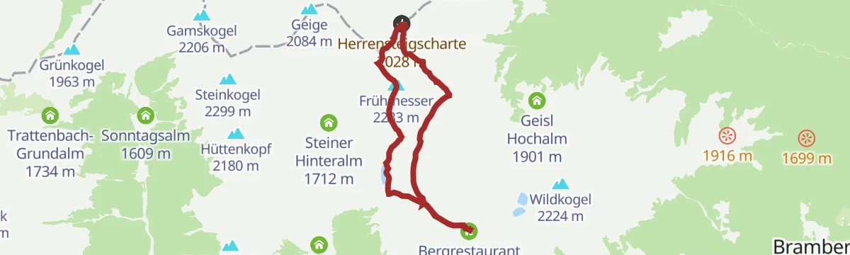
Neukirchen: Bergstation Wildkogelbahn - Frühmesser - Steineralm
Four hours along the ridge from the gondola over the Frühmesser and Grasleitkopf, touching 2,299 m and crossing the Herrensteigscharte on the way down to the Steineralm.
- 9.1 km
- Distance
- 321 m
- Ascent
- 3 h 35 min
- Duration
- 54
- Check-ins
Neukirchen: Bergstation Wildkogelbahn - Steinkogel - Steineralm
Nearly six hours on path 11A over the Frühmesser, Steinkogel, Geige and Speikkogel, with the Geigenscharte between them and a 1,400 m descent to the valley at the end.
- 16.8 km
- Distance
- 472 m
- Ascent
- 6 h 35 min
- Duration
- 58
- Check-ins
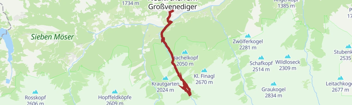
Neukirchen: 3A Obersulzbachtal
A long climb from Neukirchen at 846 m deep into the national park, past the Berndlalm and the Wildnishaus to the Postalm at 1,699 m.
- 17.0 km
- Distance
- 1 094 m
- Ascent
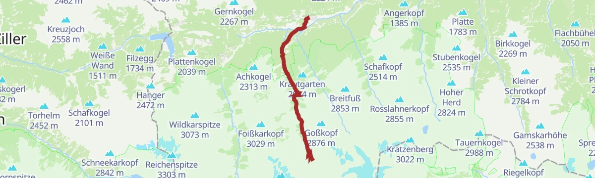
- 2 h 10 min
- Duration
- 31
- Check-ins
Neukirchen: Frühmesser Rundweg
A high circuit that never drops below 1,980 m, taking the Frühmesser and the Grasleitkopf by way of the Herrensteigscharte and the Gensbichlscharte.
- 8.2 km
- Distance
- 302 m
- Ascent
- 2 h 41 min
- Duration
- 48
- Check-ins
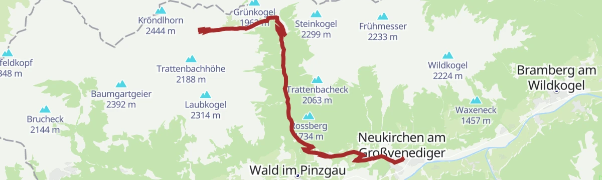
Neukirchen: Kröndlhorn über Rotwand Grundalm
Five hours up from the Dürnbachtal road fork, past the Rotwand-Alm and the Reinkarsee and over the Filzenscharte to the 2,444 m Kröndlhorn.
- 14.3 km
- Distance
- 1 300 m
- Ascent
- 6 h 18 min
- Duration
- 23
- Check-ins
Neukirchen: 3F Ambrosiuskapelle
A climb of over 1,100 m from the valley to the Wildkogel Haus at 2,005 m, passing the chapel at 1,524 m and the Vierlauchenhütte.
- 9.6 km
- Distance
- 1 160 m
- Ascent
- 1 h 48 min
- Duration
- 22
- Check-ins
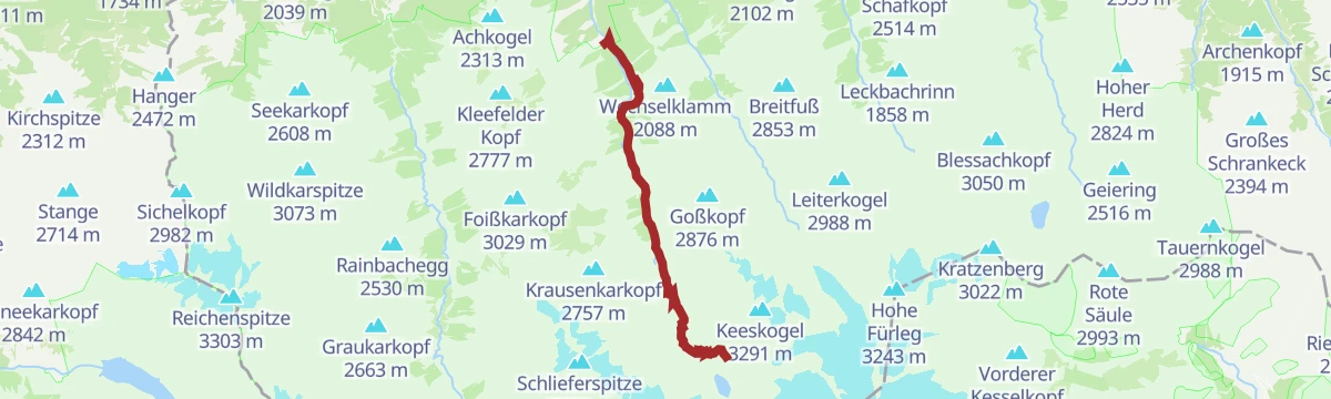
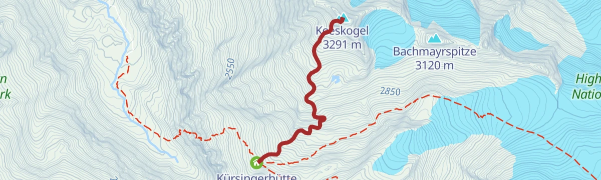
Neukirchen: Kürsingerhütte - Keeskogel
A steep 730 m pull from the Kürsingerhütte to the 3,291 m Keeskogel in barely 2.5 km, about three hours of climbing on glacier-side terrain.
- 2.5 km
- Distance
- 735 m
- Ascent
- 2 h 35 min
- Duration
- 43
- Check-ins
Neukirchen: Hopffeldboden - Foisskarsee
From the Hopffeldboden car park past the Berndlalm and the Foißkaralm to a cirque lake at 2,132 m, more than 1,000 m of ascent packed into 6.5 km.
- 6.4 km
- Distance
- 1 057 m
- Ascent
- 4 h 4 min
- Duration
- 21
- Check-ins
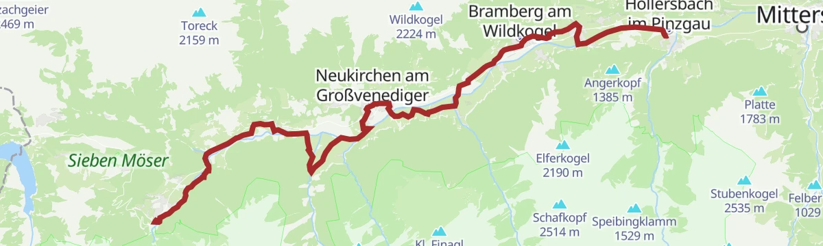
Tauernradweg von Krimml bis Hollersbach
A near-flat valley stage from Krimml down to Hollersbach, following the Salzach past Wald-Königsleiten and the Badesee at Neukirchen.
- 28.9 km
- Distance
- 115 m
- Ascent
- 2 h 46 min
- Duration
- 18
- Check-ins
- Bergschmied 817 m
- Tagesspeicher Krimmler Ache 1 048 m
- Rechenmacherhütte 826 m
- Tourismusverband Wald-Königsleiten 875 m
- Badesee Neukirchen 833 m
- Bergführer Büro 846 m
- +3
Neukirchen: Haferlalmweg
An alm traverse from the gondola top past the Schutzhütte Rettenstein and the Fleckl Hochalm, ending at the Baumgartenalm some 700 m lower.
- 8.6 km
- Distance
- 86 m
- Ascent
- 2 h 52 min
- Duration
- 35
- Check-ins
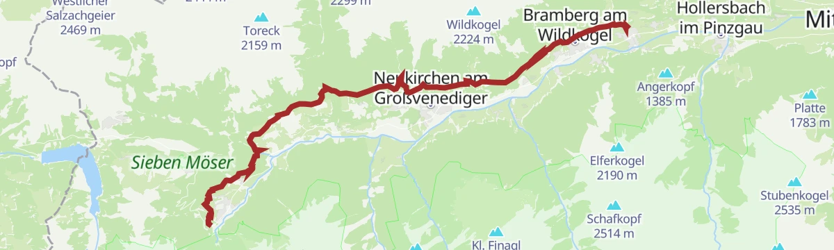
Sonnenweg von Krimml bis Mühlbach
A 26 km traverse along the sunny flank of the valley from Krimml through Wald and Neukirchen to Mühlbach, facing the Hohe Tauern the whole way.
- 26.6 km
- Distance
- 1 460 m
- Ascent
- 10 h 52 min
- Duration
- 16
- Check-ins
Neukirchen: 3G Neukirchen - Wildkogel - Steineralm
A tour from the valley floor up to the Gensbichlalm at 1,772 m, dropping back past the Alpengasthof Rechtegg at 1,253 m.
- 21.5 km
- Distance
- 980 m
- Ascent
- 2 h 50 min
- Duration
- 15
- Check-ins
Neukirchen: Herrensteig
A saddle-hopping traverse from the Wildkogel lift across the Gensbichlscharte, Schöntaljoch, Herrensteigscharte and Gernscharte, finishing nearly 700 m lower.
- 12.1 km
- Distance
- 192 m
- Ascent
- 3 h 55 min
- Duration
- 33
- Check-ins
Neukirchen: Kröndlhorn
The direct line from the Trattenbachtal to the 2,444 m Kröndlhorn, climbing past the Grundalm and the Trattenbach-Hochalm in about four and a half hours.
- 10.1 km
- Distance
- 1 160 m
- Ascent
- 4 h 53 min
- Duration
- 14
- Check-ins
Neukirchen: 3C Trattenbachtal
A steep valley climb past the Niederalm and the Grundalm to the Hochalm at 1,955 m, with more than 1,100 m of ascent.
- 14.1 km
- Distance
- 1 094 m
- Ascent
- 1 h 55 min
- Duration
- 11
- Check-ins
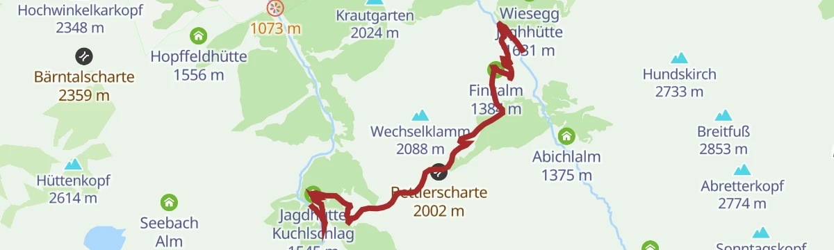
Neukirchen: Bettlersteig
From the Berndlalm up past the Stockeralm and Finkalm to the Bettlerscharte at just over 2,000 m, roughly 600 m of climbing on paths 12A and 22B.
- 6.2 km
- Distance
- 587 m
- Ascent
- 4 h 6 min
- Duration
- 19
- Check-ins
Die Miesenbachrunde
Ridge collector's round from the Gamskogelhütte over Steinkogel, Gamskogel, Geige and Speikkogel, crossing the Geigenscharte and descending through the Miesenbachalpe.
- 16.7 km
- Distance
- 1 378 m
- Ascent
- 8 h 49 min
- Duration
- 11
- Check-ins
Neukirchen: 3E Mittelstation Wildkogelbahn
A forest-road climb from Neukirchen at 846 m to the Bergeralm at 1,741 m, beside the middle section of the Wildkogelbahn.
- 9.4 km
- Distance
- 907 m
- Ascent
- 1 h 29 min
- Duration
- 5
- Check-ins
Neukirchen: Einödbrücke - Stockeralm - Aschamalm
From the Einödbrücke at 840 m up the Untersulzbachtal past the Stockeralm and the Untersulzbach-Hütte to the Aschamalm, three hours and some 800 m of ascent.
- 9.7 km
- Distance
- 842 m
- Ascent
- 3 h 53 min
- Duration
- 17
- Check-ins
Sonnenweg Krimml - Mühlbach
Around nine hours one way: 25 km from Krimml to Mühlbach on waymarks 19, 15 and 55, rising from 820 m to a high point of 1,306 m.
- 25.1 km
- Distance
- 1 315 m
- Ascent
- 9 h 55 min
- Duration
- 7
- Check-ins
- Tagesspeicher Krimmler Ache 1 048 m
- Ederbauer 1 270 m
- Geschiebesperre 922 m
- Pension Falkenstein 1 055 m
- Thürner Alm 1 124 m
Neukirchen: Dürnbachtal
A two-hour walk in from the Dürnbachtal road fork, passing the Alpengasthof Rechtegg on the way to the Steineralm and the Steiner Hinteralm.
- 6.5 km
- Distance
- 579 m
- Ascent
- 2 h 48 min
- Duration
- 11
- Check-ins
No routes of this kind in Neukirchen am Großvenediger yet.
The region's own picks

Featured route
Neukirchen/Bramberg: 3-Seen-Rundweg
A short circuit from the Wildkogelbahn mountain station on waymarked paths 13 and 17, passing the ski arena's storage lake and the Gensbichlscharte, all of it above 2,000 m.
Planning a trip to Neukirchen am Großvenediger?
Everything else Salzburg (state) has, in one place


Take Neukirchen am Großvenediger with you into the mountains
Every route on this page with 3D terrain, GPX navigation and offline maps — including the valleys with no signal.
Data sources
- Official website: wildkogel-arena.at ↗
- Routes and highlights: Wildkogel-Arena, Nationalpark, Nationalparkregion Mittersill, Zell am See-Kaprun Tourismus, Kitzbüheler Alpen Tourismus
- Published as open data by the tourist boards named above.
- Region summary generated from the board's own material.
