
 Viewpoint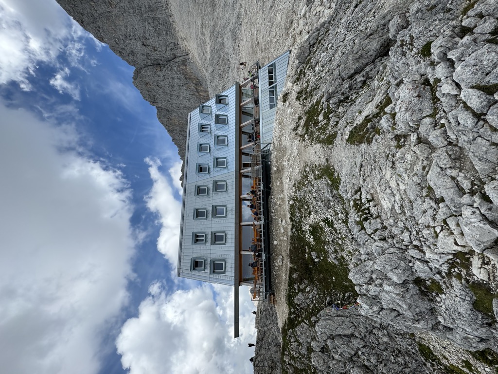









 Summit
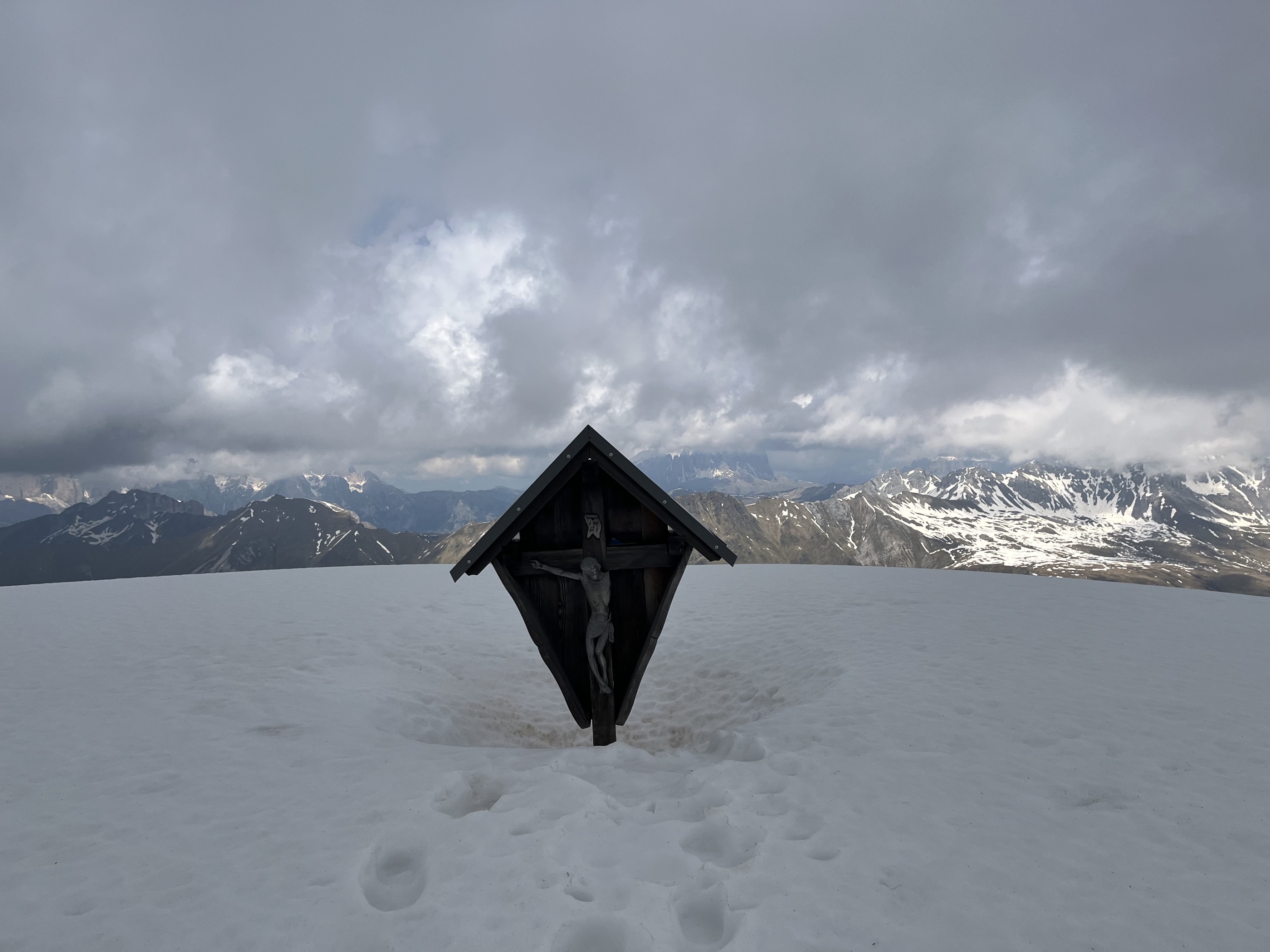
Cima Bocche - Cimon de Boce
via Between porphyry and dolomite: trekking with a view of Lagorai and Pale di San Martino - Day 2

Curated by APT Val di Fassa
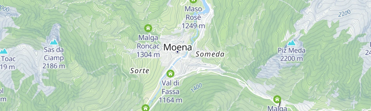
The Val di Fassa's lower village where the Costalunga and San Pellegrino roads divide, below the Catinaccio.
Photo: Mateus2019 · CC BY-SA 3.0 licence
All 13 from neighbouring places
8.2 km away, in San Giovanni di Fassa-Sèn Jan
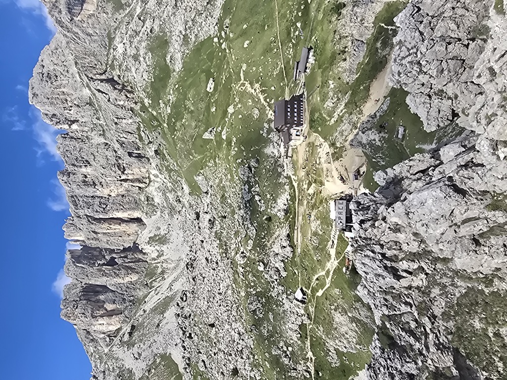
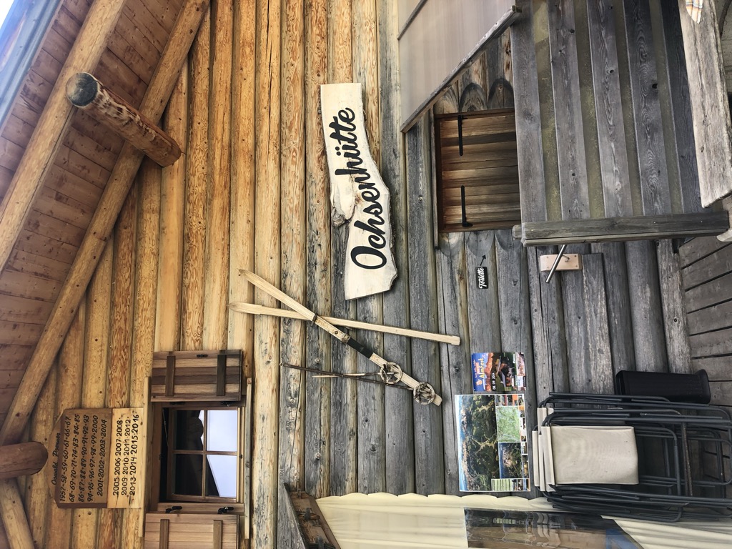
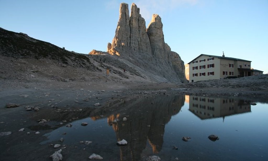
A small hut at 2,280 m in the heart of the Catinaccio, run by the Pederiva family for generations and a base for walks and climbs of every grade.
8.6 km away, in San Giovanni di Fassa-Sèn Jan
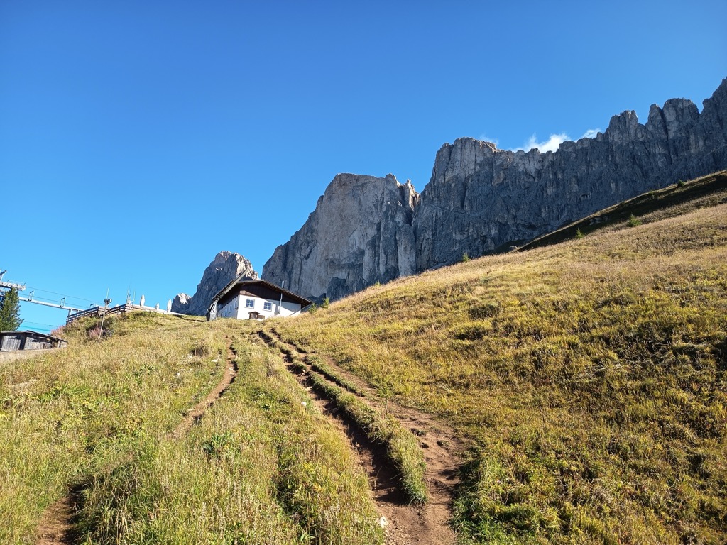
A hut at 2,125 m in the Carezza area below the Roda di Vael, with a wide terrace and a stage of the Dolomites World Heritage Geotrail passing by.
8.7 km away, in Predazzo
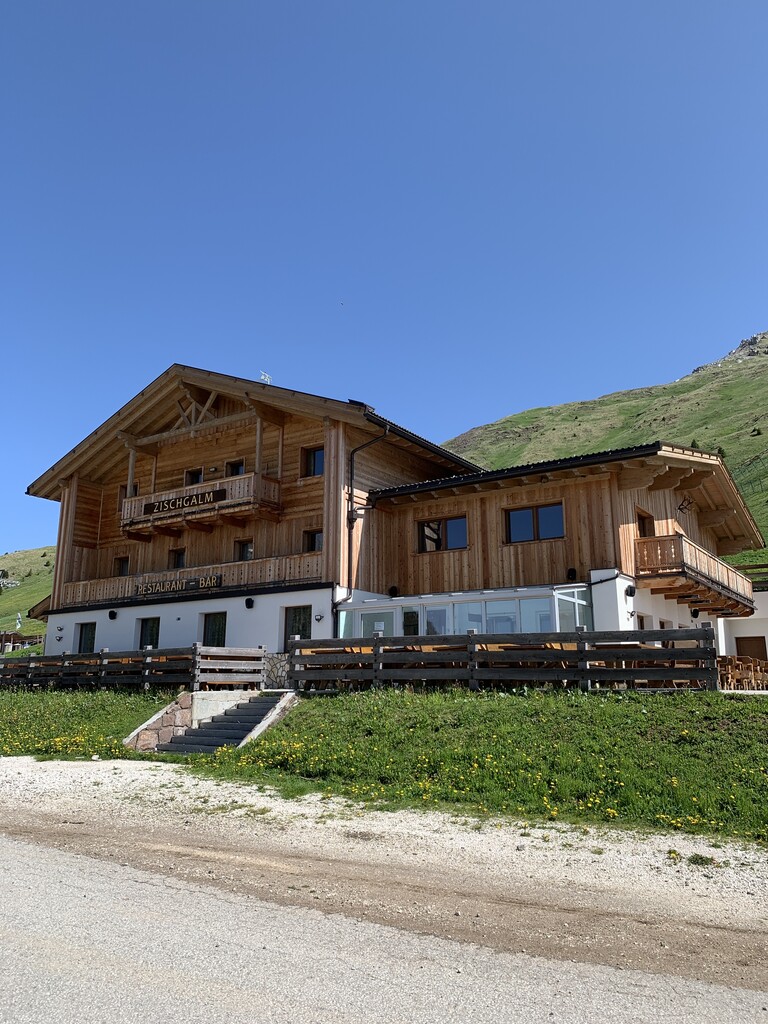
A baita on the Gardonè shelf above Predazzo, at the foot of the Latemar and reached by the cable car from the valley.
9.1 km away, in Predazzo
A dairy hut at the head of the Val Travignolo above Predazzo, a base for the walks and climbs on the Lagorai side.
11.1 km away, in Nova Levante/Welschnofen
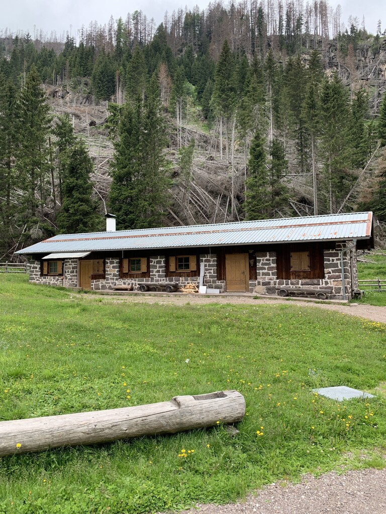
A pasture hut in the woods above Nova Levante, in the Val d'Ega.
11.3 km away, in Soraga di Fassa
A refuge in the Fuciade basin below the Passo San Pellegrino, in the comune of Soraga di Fassa, under the Cima Uomo.
12.2 km away, in Nova Levante/Welschnofen
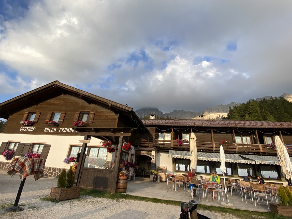
A dairy hut with rooms on the Frommer pastures above Nova Levante, in the Val d'Ega between the Catinaccio and the Latemar.
10.9 km away, in Nova Ponente/Deutschnofen
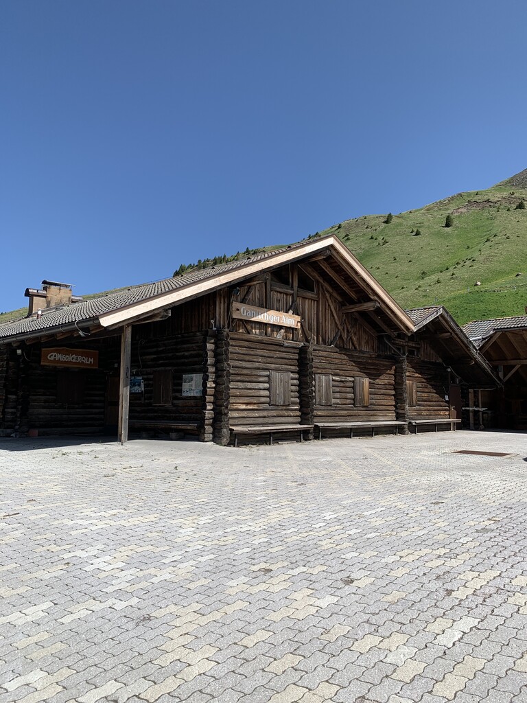
A pasture hut above Nova Ponente, reached on foot from the Obereggen side of the Val d'Ega.
11 km away, in Nova Ponente/Deutschnofen
A dairy hut on the pastures above Nova Ponente, near Obereggen at the foot of the Latemar.
11.4 km away, in Nova Ponente/Deutschnofen
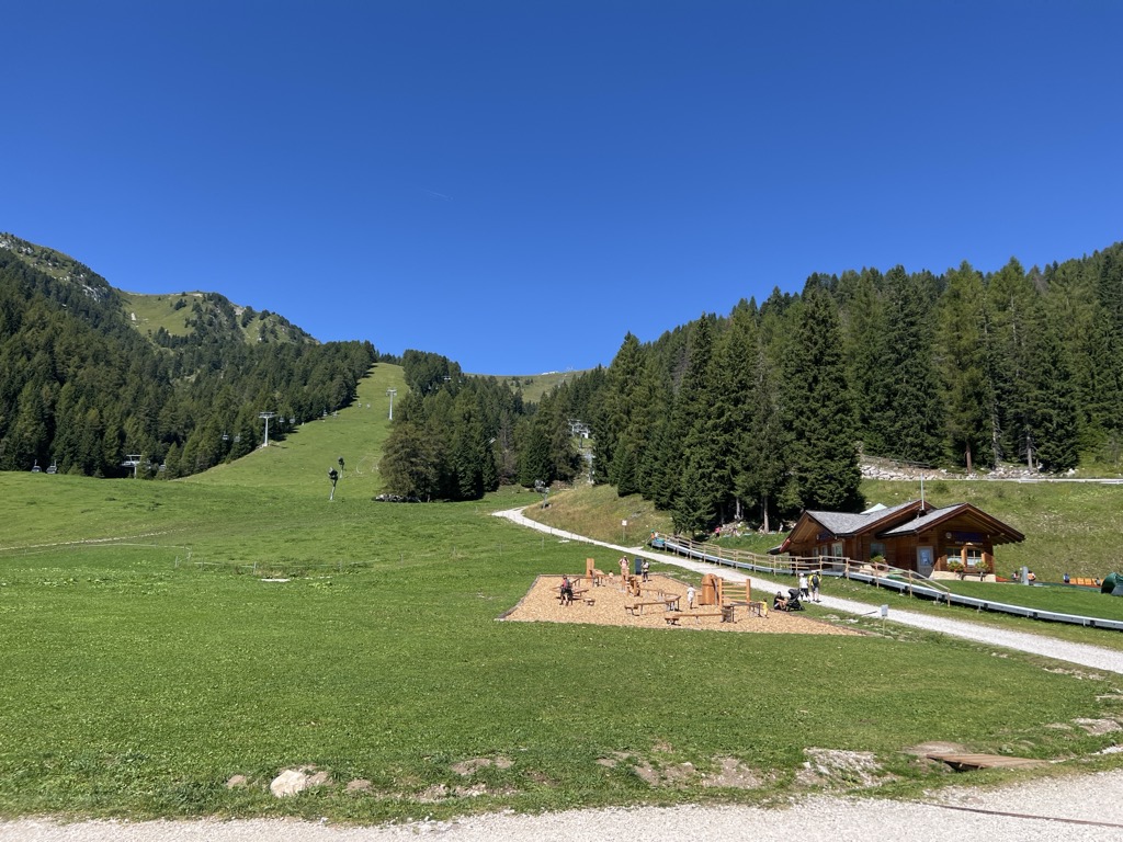
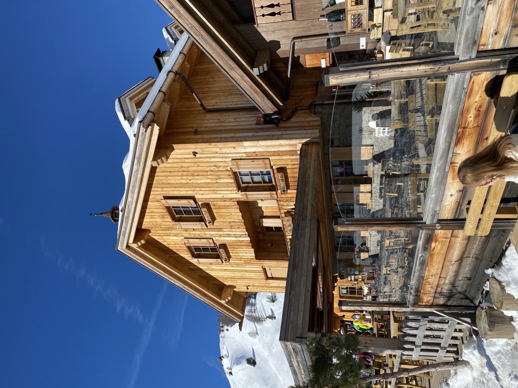
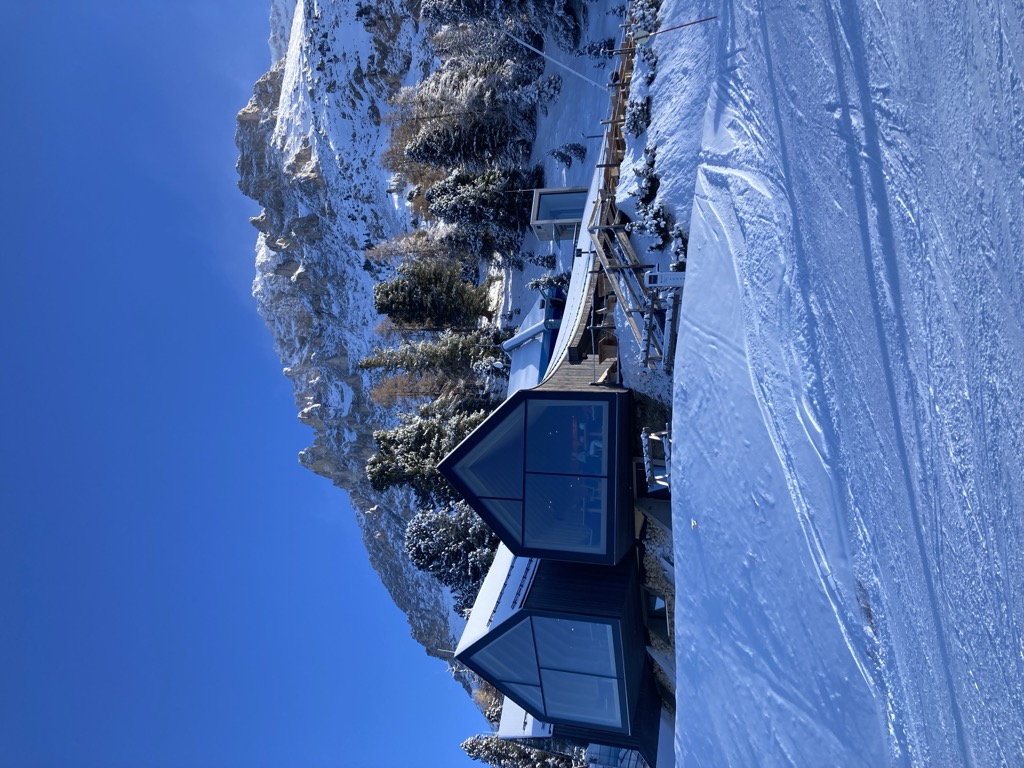
A timber-and-glass mountain hut above Obereggen, at the top of the chairlift below the Latemar, in the comune of Nova Ponente.
12 km away, in Tires/Tiers
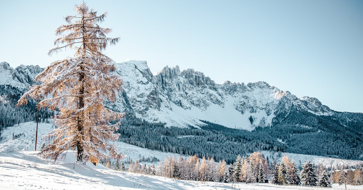
The dolomite massif of the Catinaccio, or Rosengarten, seen from Tires in the Val d'Ega; its walls redden in the evening light.
12.2 km away, in Tires/Tiers
A hut at 2,734 m at the Passo Santner in the Catinaccio, at the top of the via ferrata over the pass above Tires.
12.4 km away, in Tires/Tiers
A hut at 2,621 m in the Catinaccio group, known in German as the Gartlhütte and reached by the Passo Santner via ferrata from Pera di Fassa.
Nothing of this kind in Moena.
50 routes, an even mix of activities · see the rest on fassa.com ↗
From the San Pellegrino pass down to the Fuciade meadows and back, below the Pale di San Martino.
 Rifugio Fuciade 1 982 m Rifugio Albergo Miralago 1 920 m
 Lago di Pozze 1 914 m Bait del Jager 1 965 m Fior da Mont 1 968 m
The closing stage of the family trek, downhill throughout from the hut into Val Monzoni, whose dark volcanic rock sits among pale Dolomite peaks.
Malga Crocifisso 1 526 m Rifugio Passo delle Selle 2 530 m Ristorante La Soldanella 1 409 m Cappella del Crocifisso 1 526 m Ristorante Pizzeria Vidor 1 425 m Passo delle Selle 2 530 m
A climb from Pozza up the Val San Nicolò and Val Monzoni past the dairy and larch woods to the Passo delle Selle and down to San Pellegrino.
Malga Crocifisso 1 526 m Rifugio Passo delle Selle 2 530 m Ristorante La Soldanella 1 409 m Cappella del Crocifisso 1 526 m Ristorante Pizzeria Vidor 1 425 m Passo delle Selle 2 530 mA short off-piste descent line at the San Pellegrino pass below Col Margherita, among larch woods and monitored open slopes.
A big circumnavigation of the Sciliar and Catinaccio massifs, crossing the Passo Duron and touching the Val di Fassa and the Val d'Ega.
Rifugio Micheluzzi 1 860 m Baita Lino Brach 1 867 m Baita Fraines 1 609 m Jëuf da Duron - Mahlknechtjoch - Passo Duron 2 204 m Edelweiss Hütte 2 042 m Mahlknecht Hütte - Rifugio Molignon 2 059 mA chairlift-assisted ride from the pass, on stony dirt road to Baita Paradiso and then a military mule track over Val Tegnosa towards Fuciade.
Rifugio Fuciade 1 982 m Baita Paradiso 2 159 m Passo San Pellegrino 1 918 m Chalet Isabella 1 914 m Snow thrill 1 907 m Bait del Jager 1 965 mThe four-pass Dolomite circuit ridden from Predazzo, over Passo Pordoi, the Sella Pass and the Gardena Pass around the Sella massif.
Val Dantermont 1 728 m Jouf de Pordoi - Passo Pordoi - Pordoijoch 2 239 m Gardena Pass 2 121 m Bar Funivia 2 240 m L'Angolino del Sella 2 179 m In Sella 2 182 mA short interpretive loop above 2,500 m at Col Margherita, with seven stations on the volcanoes, glaciers and fossil seabeds of the Dolomites.
A loop from the San Pellegrino pass into the Fuciade basin, a limestone amphitheatre under the Sas de Valfreida, returning by Val Fredda and Malga Boer.
Rifugio Fuciade 1 982 m Chalet Isabella 1 914 m Rifugio Albergo Miralago 1 920 m Rifugio Flora Alpina 1 802 m Lago di Pozze 1 914 m Bait del Jager 1 965 mA long peace-trail stage from the Passo delle Selle hut down through Val Monzoni and its rare crystals, over the head of Val San Nicolo to the Contrin hut.
Rifugio Contrin 2 016 m Baita alle Cascate 2 011 m Rifugio Passo delle Selle 2 530 m Annesso Efrem Reatto 2 018 m Malga Contrin 2 030 m Passo delle Selle 2 530 mA road climb from the centre of Moena on the SS346, past the Lusia lift station at Ronchi and up through Fango and Alochet.
Passo San Pellegrino 1 918 m Chalet Isabella 1 914 m Snow thrill 1 907 m Bici Grill Moena 1 147 m Val di Fassa 1 164 m Bar Ristorante Malga Negritella 1 771 mA road loop south to Tesero, then the hard climb to Pampeago and back over the Passo di Costalunga by the Karer See.
Karer See - Lago di Carezza 1 533 m Passo di Costalunga - Karerpass 1 745 m Bar & Imbiss Kareesee 1 559 m Antermont 1 759 m Baita della Scofa 2 006 m Zischgalm 2 010 mA level circuit over the Prato di Sorte below the Sas da Ciamp, a hay meadow once shared out by lot each year, returning along the Avisio to Moena.
A demanding round in the Latemar, up the Torre di Pisa path and across the plateau, then down the wild Valsorda to Forno di Moena and back by the cycle path.
Cima Valbona 2 683 m Baita Passo Feudo Hütte 2 170 m Rifugio Torre di Pisa 2 671 m Biotrota Dolomiti 1 056 m Bivacco Latemar Attilio Sieff 2 306 m Malga Valsorda 1 684 mFrom the Paneveggio forest, long known to violin makers for its tonewood, by Malga Bocche and the Bocche lake towards the Passo alle Selle hut.
Rifugio Passo delle Selle 2 530 m Malga Bocche 1 939 m Baita Paradiso 2 159 m Passo delle Selle 2 530 m Passo San Pellegrino 1 918 m Passo Juribrutto - Sforcèla Grana 2 387 mA long road circuit from Predazzo over Passo San Pellegrino and up Passo Fedaia, whose final ramps run into double-digit gradients.
Rifugio Marmolada Castiglioni 2 055 m Passo Fedaia 2 057 m Rifugio Fedaia 2 057 m Passo San Pellegrino 1 918 m Chalet Isabella 1 914 m Azienda Turistica 1 307 mA short nine-station walk at Alpe Lusia, each stop carrying a text by Giusi Quarenghi and an illustration to read on the spot.
A high route past caves, trenches and old barracks of the First World War, looking down on the Lusia lakes in a former volcanic crater; eagles pass overhead.
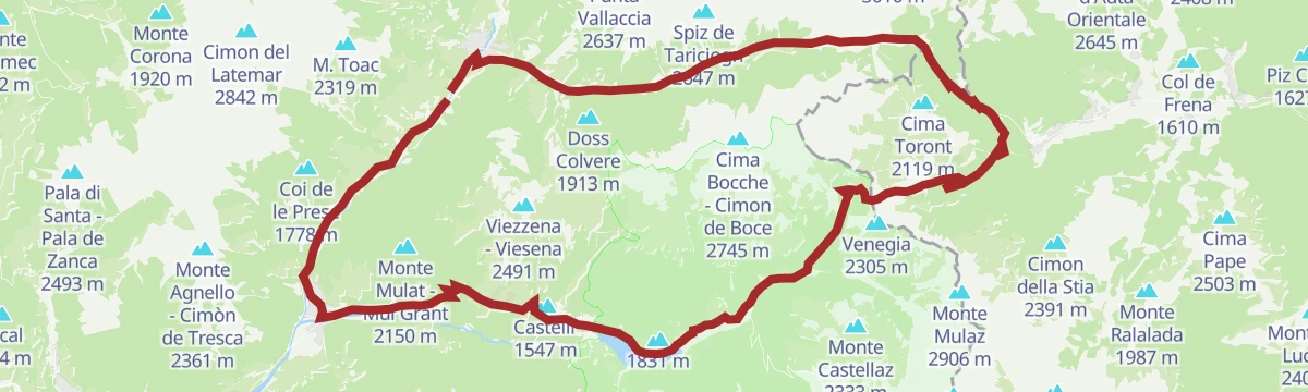
Malga Bocche 1 939 m Rifugio Passo Lusia 2 055 m Chalet 44 Alpine Lounge 1 966 m Lago di Lusia (inferiore) 2 332 m Luxury Ski Lusia 1 953 m La Trincea 2 425 mThe second day of the porphyry-and-dolomite traverse, climbing to Cima Bocche past alpine lakes and Great War trenches above the Fiemme valley.
Cima Bocche - Cimon de Boce 2 745 m Passo Valles 2 032 m Rifugio Capanna Passo Valles 2 037 m Malga Vallazza 1 947 m Passo Lusia - Sansòm 2 055 m Rifugio Passo Lusia 2 055 mA long road circuit from Pozza di Fassa over the San Pellegrino pass, returning across the Fedaia below the Marmolada.
Rifugio Marmolada Castiglioni 2 055 m Passo Fedaia 2 057 m Rifugio Fedaia 2 057 m Passo San Pellegrino 1 918 m Chalet Isabella 1 914 m Azienda Turistica 1 307 mA flat lap of the small lake on the San Pellegrino pass above Moena.
A walk through the Canvere pastures, whose old barns remain from a farming life that lasted into recent decades, to a dairy facing the Pale di San Martino.
Malga Bocche 1 939 m Chalet 44 Alpine Lounge 1 966 m Luxury Ski Lusia 1 953 m Malga Canvere 1 977 m Bait del Barbacio 1 977 m Bait del Pat 1 973 mA long family-trek stage from Le Cune along the animal-themed trail, descending through forest and high meadow to Valbona.
Rifugio Passo delle Selle 2 530 m Passo delle Selle 2 530 m Snow thrill 1 907 m Passo Lusia - Sansòm 2 055 m Rifugio Passo Lusia 2 055 m Chalet Valbona 1 815 mA road circuit from Alleghe right around the Marmolada, crossing Passo Fedaia and Passo San Pellegrino to join Agordino to the Val di Fassa.
Rifugio Marmolada Castiglioni 2 055 m Passo Fedaia 2 057 m Rifugio Fedaia 2 057 m Passo San Pellegrino 1 918 m Chalet Isabella 1 914 m Azienda Turistica 1 307 mA short circuit of the San Pellegrino lake at 1,900 m, past wooden sculptures and footbridges, with Costabella and Col Margherita mirrored in the water.
A pushchair-friendly walk over the Canvere pastures and their old barns to a dairy under the white rock of the Pale di San Martino.
Malga Bocche 1 939 m Chalet 44 Alpine Lounge 1 966 m Luxury Ski Lusia 1 953 m Malga Canvere 1 977 m Bait del Barbacio 1 977 m Bait del Pat 1 973 mA long day from Moena over the Lusia pass to the Laste huts and a cobbled military mule track, reaching the trench line and the top of Cima Bocche.
Cima Bocche - Cimon de Boce 2 745 m Passo Lusia - Sansòm 2 055 m Rifugio Passo Lusia 2 055 m Chalet Valbona 1 815 m Lago di Lusia (inferiore) 2 332 m La Trincea 2 425 mA lift-assisted loop from Molino to the Rifugio Laresei, down to the Passo Valles and round by Paneveggio.
Passo Valles 2 032 m Rifugio Capanna Passo Valles 2 037 m Rifugio Laresei 2 260 m Passo San Pellegrino 1 918 m Chalet Isabella 1 914 m Rifugio Albergo Miralago 1 920 mAn easy walk along both banks of the river at Moena, following the Ladin woodcarving tradition that the valley's legends fed.
From the Bellamonte gondola up a wide dirt road to the Lusia pass, then a steeper, wilder line above the lift stations towards the Viezzena.
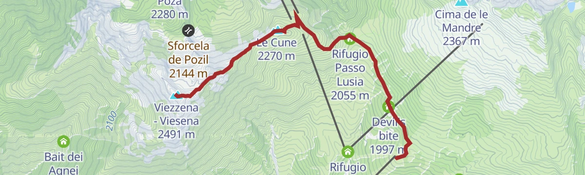
Viezzena - Viesena 2 491 m Le Cune 2 270 m Passo Lusia - Sansòm 2 055 m Rifugio Passo Lusia 2 055 m Chalet 44 Alpine Lounge 1 966 m Luxury Ski Lusia 1 953 mA climb into high country full of trenches, gun positions and fortifications, with the Lagorai chain and the Dolomite groups from Latemar to the Pale in view.
Cima Bocche - Cimon de Boce 2 745 m Passo Lusia - Sansòm 2 055 m Rifugio Passo Lusia 2 055 m Chalet 44 Alpine Lounge 1 966 m Lago di Lusia (inferiore) 2 332 m Luxury Ski Lusia 1 953 mA long road circuit of the Latemar, over the Passo di Costalunga past the Lago di Carezza and back across the Passo di Lavazè.
Karer See - Lago di Carezza 1 533 m Passo di Costalunga - Karerpass 1 745 m Bar & Imbiss Kareesee 1 559 m Antermont 1 759 m Passo di Lavazè 1 807 m GolfHotel 1 754 mA short flat stretch along the bank of the Avisio torrent on the valley floor at Moena.
From the top of the Bellamonte cableway, a nearly level forest road past wooden huts and flowered meadows to the Bocche lake, set among porphyry.
Chalet 44 Alpine Lounge 1 966 m Luxury Ski Lusia 1 953 m Malga Canvere 1 977 m Bait del Barbacio 1 977 m Bait del Pat 1 973 m Lago Bocche 2 249 mA long crossing from Le Cune by way of the Lusia pass and its hut into the Paneveggio park, past the Laste huts to the lakes below the ridge.
Passo Lusia - Sansòm 2 055 m Rifugio Passo Lusia 2 055 m Chalet Valbona 1 815 m Lago di Lusia (inferiore) 2 332 m La Trincea 2 425 m Bivacco Sandro Redolf 2 335 mA gravel loop from Predazzo over the Reiterjoch and on to the Passo di Costalunga, passing Ganischger Alm and the fir-ringed lake below the Latemar.
Passo di Costalunga - Karerpass 1 745 m Antermont 1 759 m Baita della Scofa 2 006 m Zischgalm 2 010 m Ganischger Alm 2 017 m GolfHotel 1 754 mAn easy walk over the meadows of I Ronc to Fort Someda, an Austro-Hungarian work of 1898 already obsolete by 1915, above the Sen Pelegrin stream.
A route from the Lusia cable car to the La Rezila hut and on by path 625 to the wartime trenches at Colvere and Fango.
Chalet Valbona 1 815 m Rifugio la Rezila 1 762 m Malga Passerella 1 361 m Colvere 1 872 m Baita degli Alpini 1 642 mAn easy round made short by the lifts, on dirt road through high pasture past huts and barns, returning through the forest of the Paneveggio park.
Malga Bocche 1 939 m Chalet 44 Alpine Lounge 1 966 m Luxury Ski Lusia 1 953 m Malga Canvere 1 977 m El Zirmo 1 557 m Deposito sci 1 553 mA ride from Molino by lift to 2,200 m, then over Col Margherita and down past the Fuciade hut.
Rifugio Fuciade 1 982 m Rifugio Laresei 2 260 m Baita Paradiso 2 159 m Passo San Pellegrino 1 918 m Chalet Isabella 1 914 m Rifugio Flora Alpina 1 802 mAn easy loop through Sorte to the Roncac pasture, open ground with Moena and the San Pellegrino valley below.
A family route at Alpe Lusia from Chalet Valbona down to the La Rezila hut, with water play and barefoot stretches on the way.
A full circuit of Alpe Lusia from the centre of Moena, forest road to the La Rezila hut and Chalet Valbona, then the steep climb to the high station.
Passo Lusia - Sansòm 2 055 m Rifugio Passo Lusia 2 055 m Chalet Valbona 1 815 m Malga Passerella 1 361 m Malga Pozza 1 873 m Colvere 1 872 mA two-pass road loop that opens with the SS346 climb past Ronchi, crosses over to Paneveggio and returns down the valley road.
Passo Valles 2 032 m Rifugio Capanna Passo Valles 2 037 m Passo San Pellegrino 1 918 m Chalet Isabella 1 914 m Snow thrill 1 907 m Malga Vallazza 1 947 mA nearly level walk along the Costalunga stream on the floor of the Fassa valley at San Giovanni di Fassa.
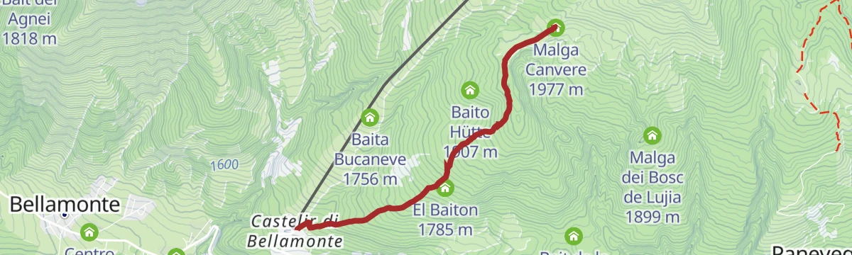
From Castelir at the foot of the Bellamonte cableway, through thin fir and larch to open ground facing the Pale di San Martino, with the Lagorai beyond.
Malga Canvere 1 977 m El Zirmo 1 557 m Deposito sci 1 553 m Bait del Barbacio 1 977 m Bait del Pat 1 973 m El Baiton 1 785 mFrom the Lusia gondola over the Sforcela de Pozil to the crest linking Col de Poza with the top of Sas de Mezdi, under the Viezzena.
Sas de Mezdì 2 301 m Col de Poza 2 280 m Chalet Valbona 1 815 m Malga Passerella 1 361 m Sforcela de Pozil 2 144 mA two-pass road loop from Predazzo, climbing 11 km at close to 7% on the first and dropping steeply past Malga Vallazza on the second.
Passo Valles 2 032 m Rifugio Capanna Passo Valles 2 037 m Passo San Pellegrino 1 918 m Chalet Isabella 1 914 m Snow thrill 1 907 m Malga Vallazza 1 947 mA very short barefoot path at Fango near Moena, laid out in 2020 over moss, sand, ferns, bare stone and running water.
A themed descent from Le Cune, reached by gondola, through marmot ground to the valley floor; downhill all the way and passable with a pushchair.
No routes of this kind in Moena yet.
Summit
via Between porphyry and dolomite: trekking with a view of Lagorai and Pale di San Martino - Day 2
Featured route
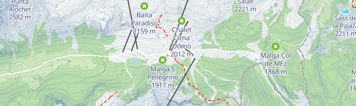
From the San Pellegrino pass down to the Fuciade meadows and back, below the Pale di San Martino.
Everything else Trentino-Alto Adige/Südtirol has, in one place
Every route on this page with 3D terrain, GPX navigation and offline maps — including the valleys with no signal.


