










Curated by Visit Ossola
Mergozzo
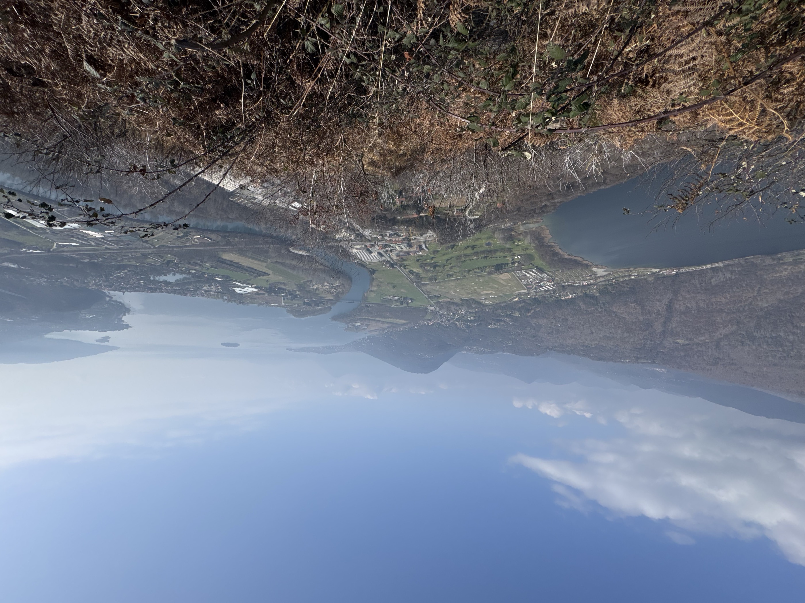
Village on its own small lake below the Val Grande park, separated from Lake Maggiore by the Toce delta.
- 10Highlights
- 3Routes
- Featured summit · Mont'Orfano
Highlights
5 from neighbouring places
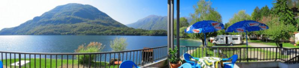
Lago di Mergozzo
A clear lake cut off from Lake Maggiore by the Toce delta, closed to motorboats.
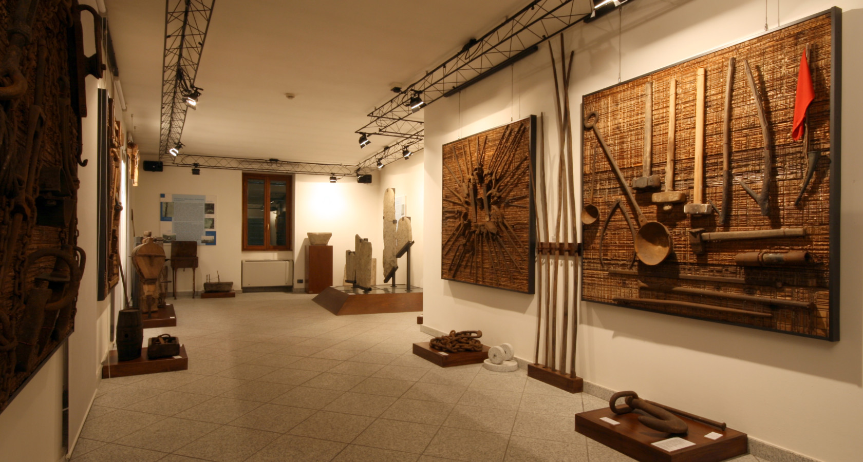
Museo Archeologico ed Ecomuseo del Granito
A museum at Mergozzo on local archaeology and on the granite the lake shore was quarried for.
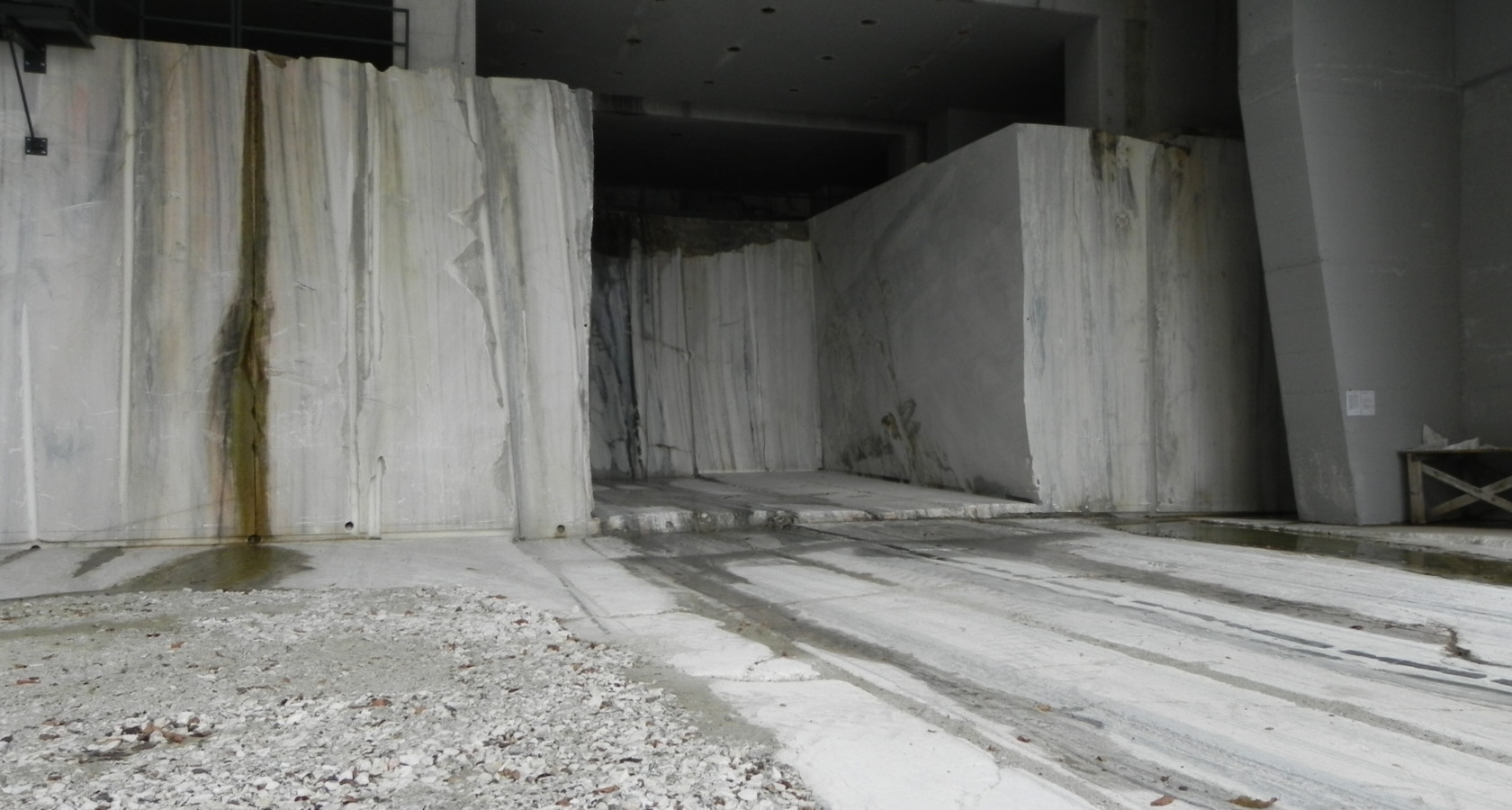
Cava madre del Duomo di Milano
The Candoglia quarry above Mergozzo, whose pink marble has built and repaired Milan cathedral since 1387.
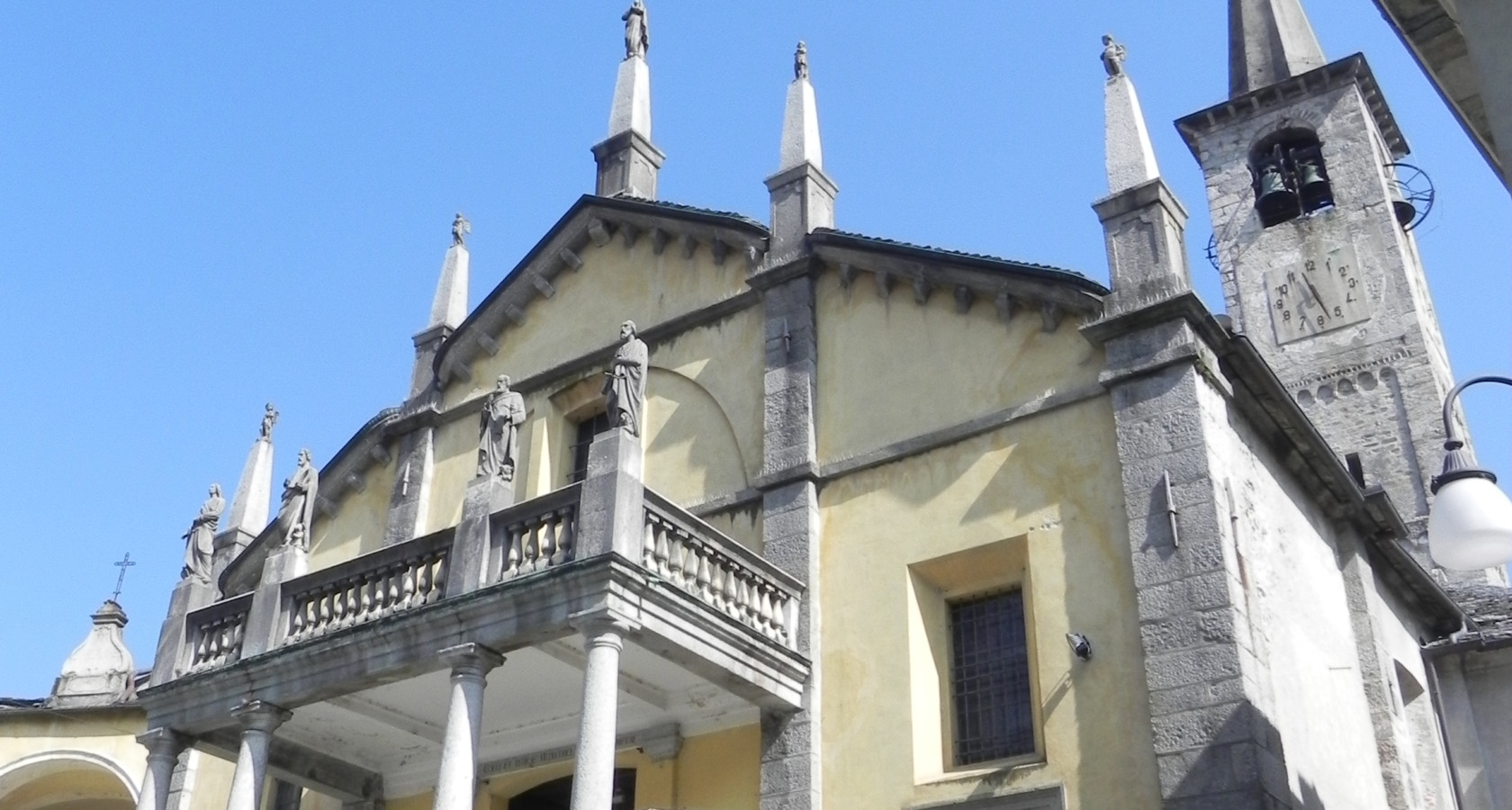
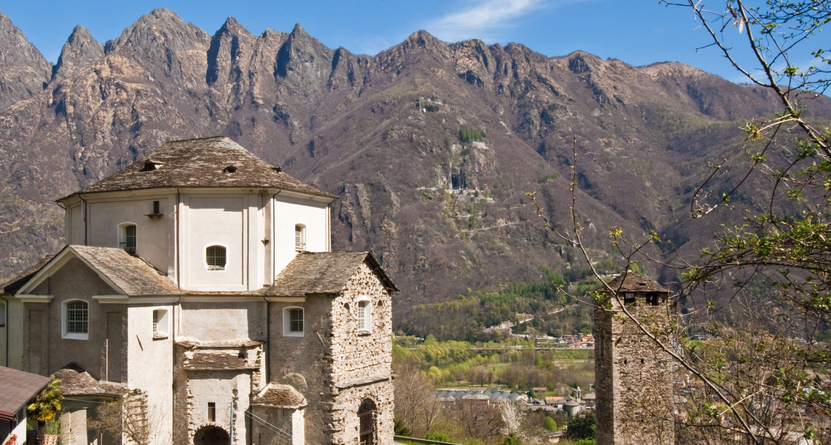
Chiesa Parrocchiale della Beata Vergine Assunta
Mergozzo's parish church, on the lake shore.
Chiesa di San Giovanni Battista di Mergozzo
A church in the Mergozzo comune, near the lake's southern end.
Chiesa di San Graziano di Candoglia
The church of Candoglia, the quarry hamlet that supplies Milan cathedral's marble.
Chiesa di Santa Maria della Natività e Sant’Anna
A church above the Mergozzo lake, among chestnut woods.
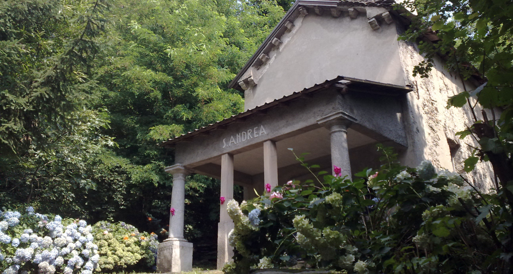
Oratorio di Sant’Andrea di Candoglia
An oratory at Candoglia, above the marble quarries of the Toce valley.
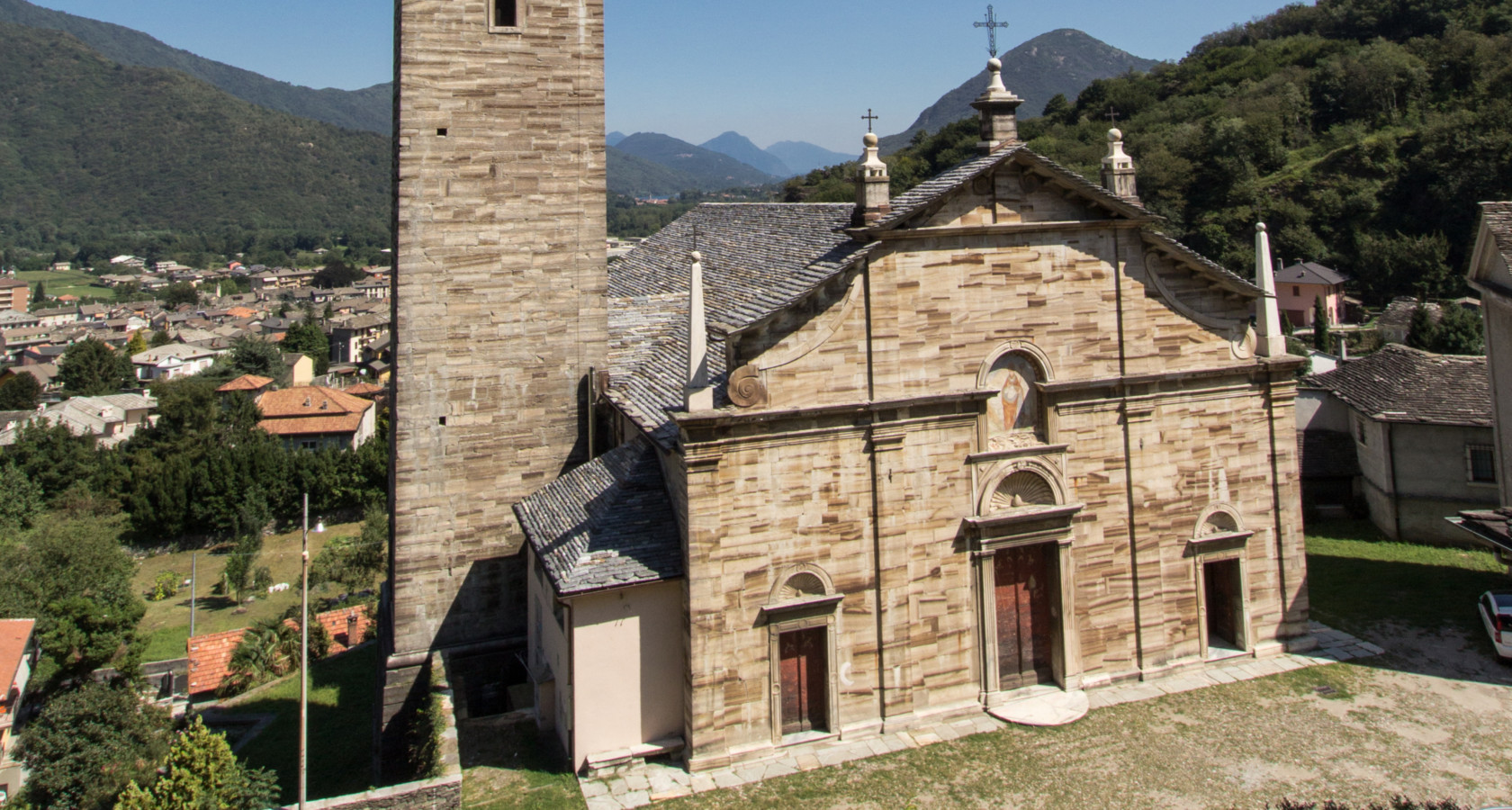
Chiesa Parrocchiale di San Nicolao
2.6 km away, in Ornavasso
The parish church of Ornavasso, at the mouth of the Ossola.
Chiesa della Madonna della Guardia
2.7 km away, in Ornavasso
A church above Ornavasso, on the slope carrying the Cadorna Line defences.
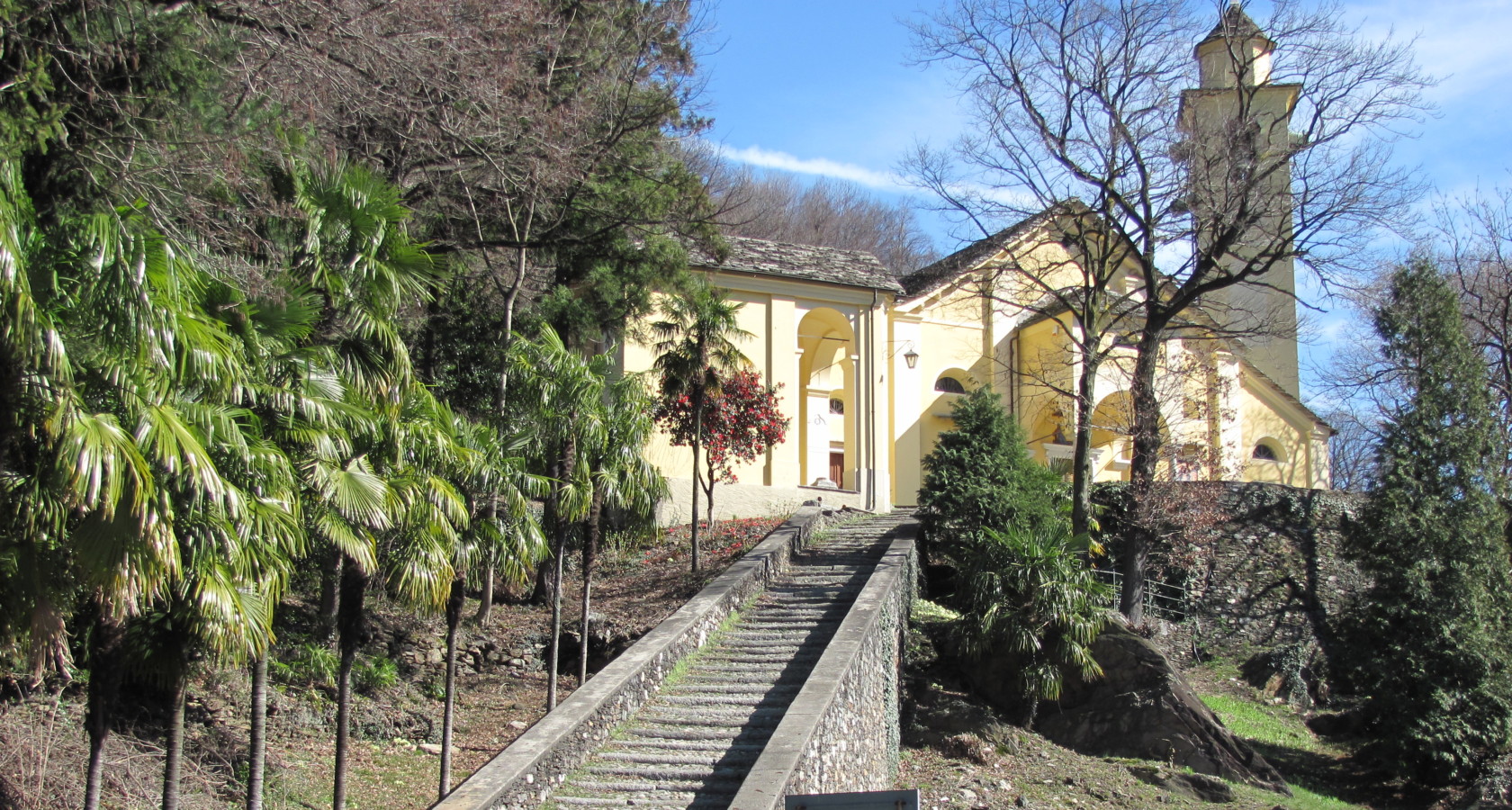
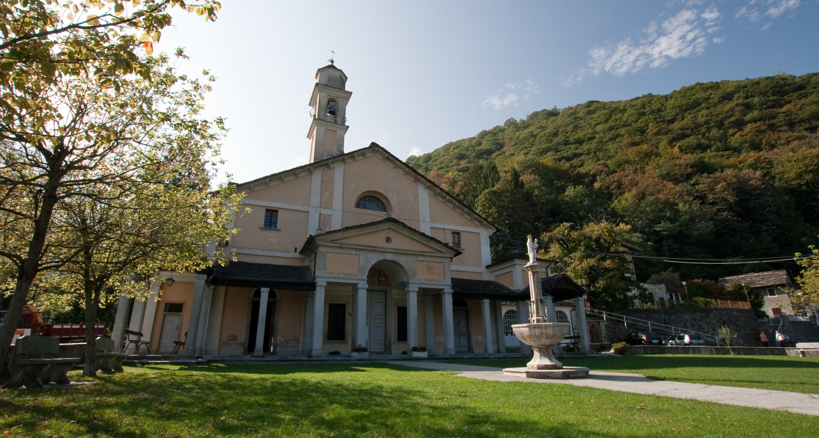
Santuario della Madonna del Boden
3.5 km away, in Ornavasso
A pilgrimage church above Ornavasso, reached by a stepped avenue of chapels.
Wallfahrtskirche der Madonna del Boden
3.5 km away, in Ornavasso
The Boden sanctuary above Ornavasso, its way up marked by wayside chapels.
Rifugio Oliva Brusa Perona Renato
6.5 km away, in Ornavasso
A hut on the ridge above Ornavasso, on the paths towards the Val Grande.
Nothing of this kind in Mergozzo.
Routes
15 from neighbouring places
PERCORSO SLOW TREK
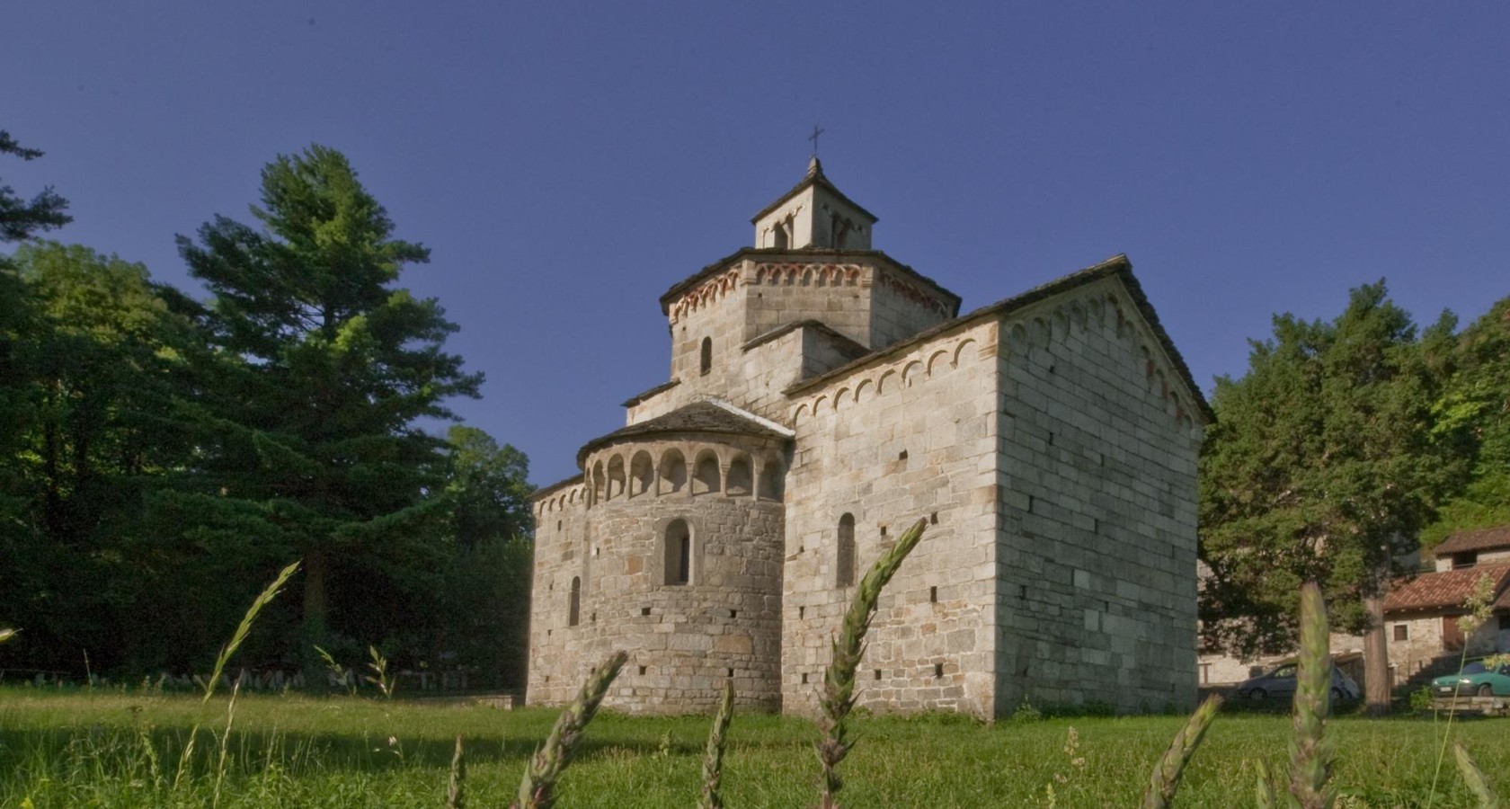
A walk from the medieval lanes of Mergozzo to its lake, then up an old mule track to the Romanesque church of Montorfano.
- 2.9 km
- Distance
- 150 m
- Ascent
- 1 h 5 min
- Duration
- 10
- Check-ins
Trekking
A hill route above Lake Mergozzo over Mont'Orfano, the isolated granite hump quarried for centuries, and on to the Sasso del Magnano.
- 13.5 km
- Distance
- 1 064 m
- Ascent
- 6 h 24 min
- Duration
- 21
- Check-ins
PERCORSO CICLABILE: Ciclovia del Toce/In bici tra i fiori
A level cycleway from Ornavasso down to the reedbeds of Fondotoce and Verbania Pallanza, through the flower nurseries of Lago Maggiore.
- 13.5 km
- Distance
- 10 m
- Ascent
- 1 h 13 min
- Duration
PERCORSO CICLABILE/MTB: Ciclovia del Toce/In bici tra i boschi
2.1 km away, in Ornavasso
A flat riverside cycleway from Vogogna to Ornavasso, through farmland and the lowland woods of Bosco Tenso.
- 41.4 km
- Distance
- 92 m
- Ascent
- 3 h 46 min
- Duration
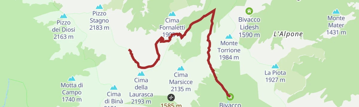
Via Geoalpina: Tappa 6 Alpe La Colma
7.1 km away, in Premosello-Chiovenda
A long, nearly level stage above Premosello-Chiovenda, running out to the saddle at 1,728 m where a bivouac hut stands.
- 13.1 km
- Distance
- 190 m
- Ascent
- 3 h 32 min
- Duration
- 3
- Check-ins
CICLOTURISMO: Giro d'Italia
11.9 km away, in Verbania
A tarmac tour out of Verbania into the hills of the Valle Intrasca, a favourite training ground for local climbers on two wheels.
- 42.9 km
- Distance
- 1 287 m
- Ascent
- 5 h 1 min
- Duration
- 3
- Check-ins
Via Geoalpina: Tappa 4 Alpe Pian di Boit
9.8 km away, in Miazzina
A steep stage of the Via Geoalpina above Miazzina, climbing to the Alpe Pian di Boit on the edge of the Val Grande.
- 9.6 km
- Distance
- 1 642 m
- Ascent
- 9 h 18 min
- Duration
- 21
- Check-ins
PERCORSO MTB: Alle porte del Parco Nazionale Val Grande. Alpe Lut e Capraga
8.7 km away, in Premosello-Chiovenda
A hard climb on the bike from Premosello-Chiovenda up through Colloro to the alpine pastures on the rim of the Parco Nazionale Val Grande.
- 21.4 km
- Distance
- 1 150 m
- Ascent
- 3 h 7 min
- Duration
Via Geoalpina: Tappa 3 Alpe Curgei
6.8 km away, in Miazzina
A stage of the Via Geoalpina climbing above Miazzina to the Alpe Curgei, on the edge of the Val Grande wilderness.
- 10.8 km
- Distance
- 675 m
- Ascent
- 4 h 37 min
- Duration
- 4
- Check-ins
CICLOTURISMO: Anello Stresa-Arona
12.2 km away, in Stresa
A road loop along the Lago Maggiore shore from Stresa down to Arona and back, past the lakeside hotels and historic villas.
- 41.3 km
- Distance
- 361 m
- Ascent
- 3 h 60 min
- Duration
- 11
- Check-ins
Via Geoalpina: Tappa 7 Vogogna
11.3 km away, in Vogogna
A long stage out of Vogogna climbing to the Colle dell'Usciolo, with the Lago di Ravinella and the Bivacco Pian del Lago along the way.
- 19.6 km
- Distance
- 1 740 m
- Ascent
- 10 h 58 min
- Duration
- 3
- Check-ins
 Bivacco Pian del Lago 1 743 m
 Lago di Ravinella 1 970 m
 Colle dell'Usciolo 2 037 m
PERCORSO MTB: Anello Verde del Lago d’Orta
11.4 km away, in Omegna
A wide circuit above the lake shore, linking small ponds, a disused railway station and the Cappella degli Alpini near Nonio.
- 50.7 km
- Distance
- 920 m
- Ascent
- 5 h 21 min
- Duration
- 6
- Check-ins
 Monte Curlera 450 m
- Osteria Rifugio Del Pescatore 529 m
- Laghetti di Nonio 528 m
- Laghetti di Nonio 527 m
- Ex stazione ferroviaria 382 m
- Laghetto di Boiro 417 m
- +3
Via Geoalpina: Tappa 5 Alpe Scaredi
9.6 km away, in Malesco
A stage of the Via Geoalpina from the Vigezzo valley up to the Alpe Scaredi, on the northern edge of the Val Grande.
- 12.1 km
- Distance
- 768 m
- Ascent
- 5 h 14 min
- Duration
- 18
- Check-ins
CICLOTURISMO: Giro del Lago d’Orta
12.2 km away, in Omegna
A road circuit of Lago d'Orta on quiet lakeside roads, with the Isola di San Giulio offshore and campsites strung along the water.
- 36.2 km
- Distance
- 305 m
- Ascent
- 3 h 30 min
- Duration
- 19
- Check-ins
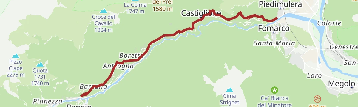
Stra' Granda Tappa 1: Piedimulera
14.5 km away, in Piedimulera
The first stage of a long route up the Valle Anzasca from Piedimulera, a hard day of climbing into the hills above Calasca-Castiglione.
- 12.1 km
- Distance
- 2 868 m
- Ascent
- 15 h 43 min
- Duration
PERCORSO MTB: Giro del Lago d'Orta
13.4 km away, in Omegna
A tour right around Lago d'Orta between Omegna and Pettenasco, climbing away from the shore to the Laghetti di Nonio before returning.
- 41.3 km
- Distance
- 806 m
- Ascent
- 4 h 25 min
- Duration
- 13
- Check-ins
- Ufficio Accoglienza Turistica 295 m
- Laghetto Comunale 306 m
- Osteria Rifugio Del Pescatore 529 m
- Laghetti di Nonio 528 m
- Laghetti di Nonio 527 m
- ex pompe antiincendio deposito carburante 1 292 m
Via Geoalpina: Tappa 2 Rifugio di Pian Vadà
12 km away, in Aurano
A ridge stage above Aurano over Pizzo Marona and Pian Cavallone, crossing the Passo del Diavolo high above Lago Maggiore.
- 8.5 km
- Distance
- 370 m
- Ascent
- 2 h 55 min
- Duration
- 55
- Check-ins
Via geoalpina: tappa 1a piancavallo
14.9 km away, in Oggebbio
A long traverse stage above Oggebbio on the Verbano slope, crossing the Passo Folungo at nearly 1,400 m.
- 13.9 km
- Distance
- 470 m
- Ascent
- 4 h 25 min
- Duration
- 12
- Check-ins
No routes of this kind in Mergozzo yet.
The region's own picks

Featured route
PERCORSO SLOW TREK
A walk from the medieval lanes of Mergozzo to its lake, then up an old mule track to the Romanesque church of Montorfano.
Planning a trip to Mergozzo?
Everything else Piedmont has, in one place


Take Mergozzo with you into the mountains
Every route on this page with 3D terrain, GPX navigation and offline maps — including the valleys with no signal.
Data sources
- Official website: distrettolaghi.it ↗
- Routes and highlights: Visit Ossola, Distretto dei Laghi, Piemonte Outdoor
- Published as open data by the tourist boards named above.
- Region summary generated from the board's own material.
