
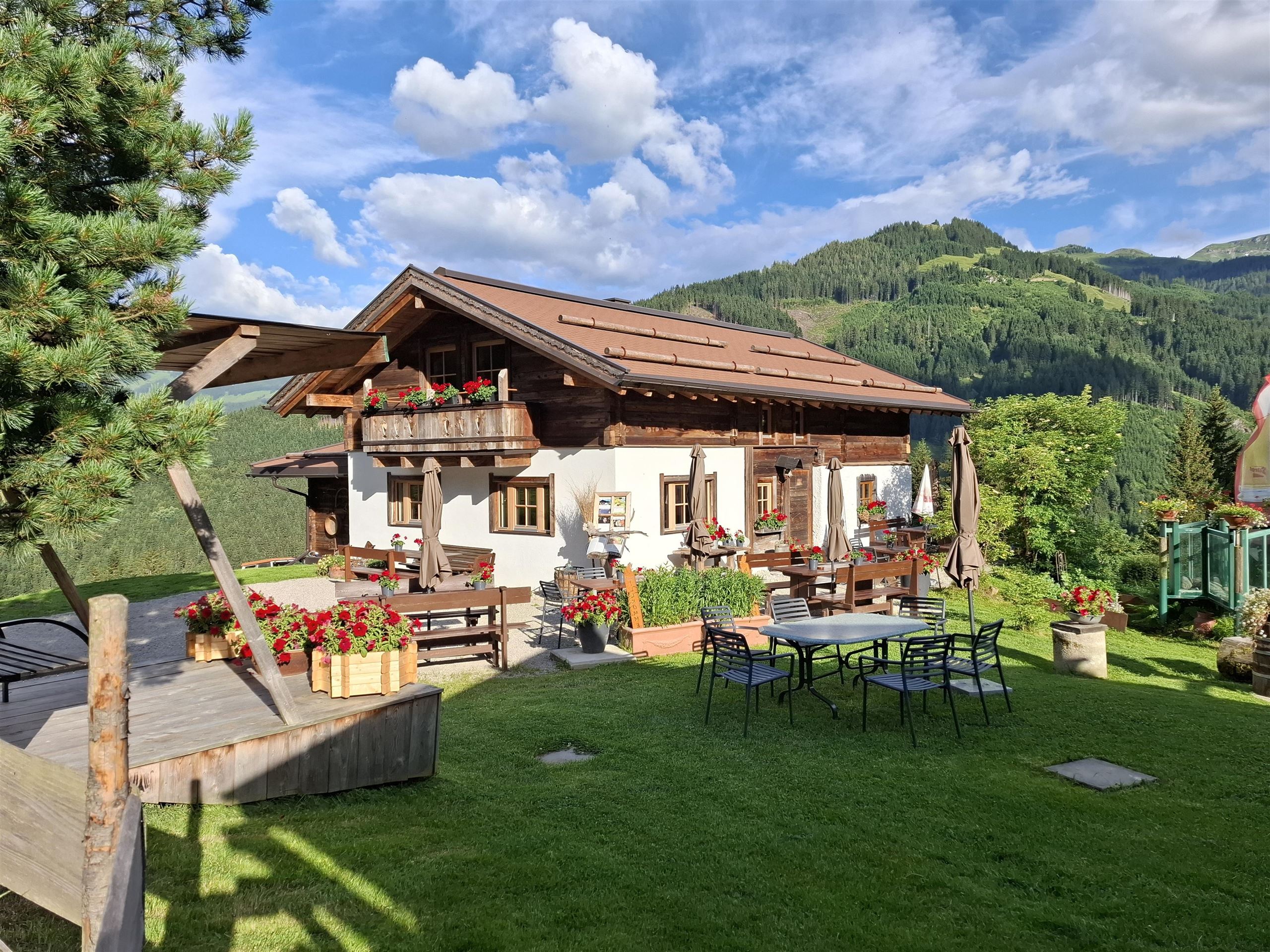
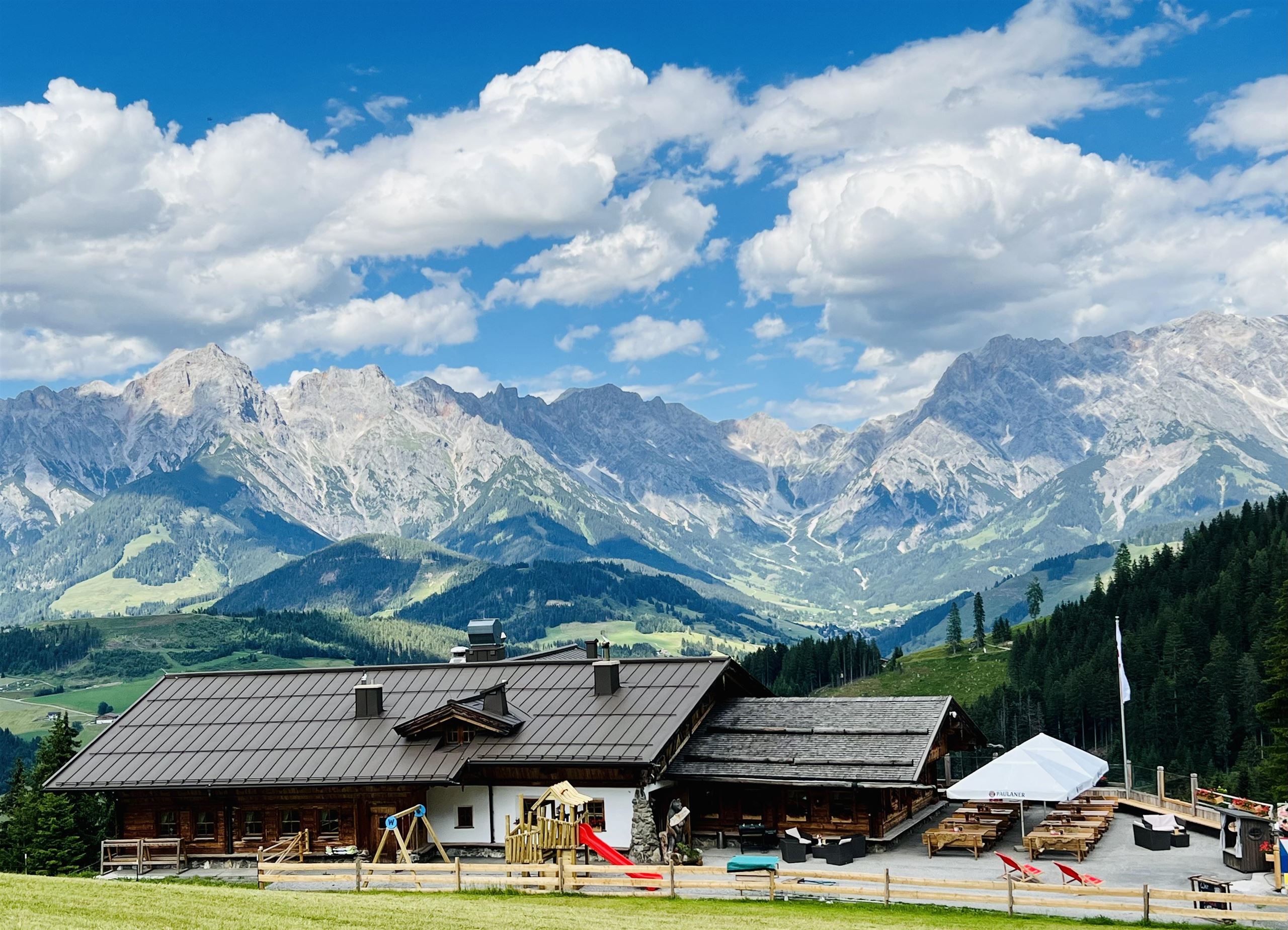
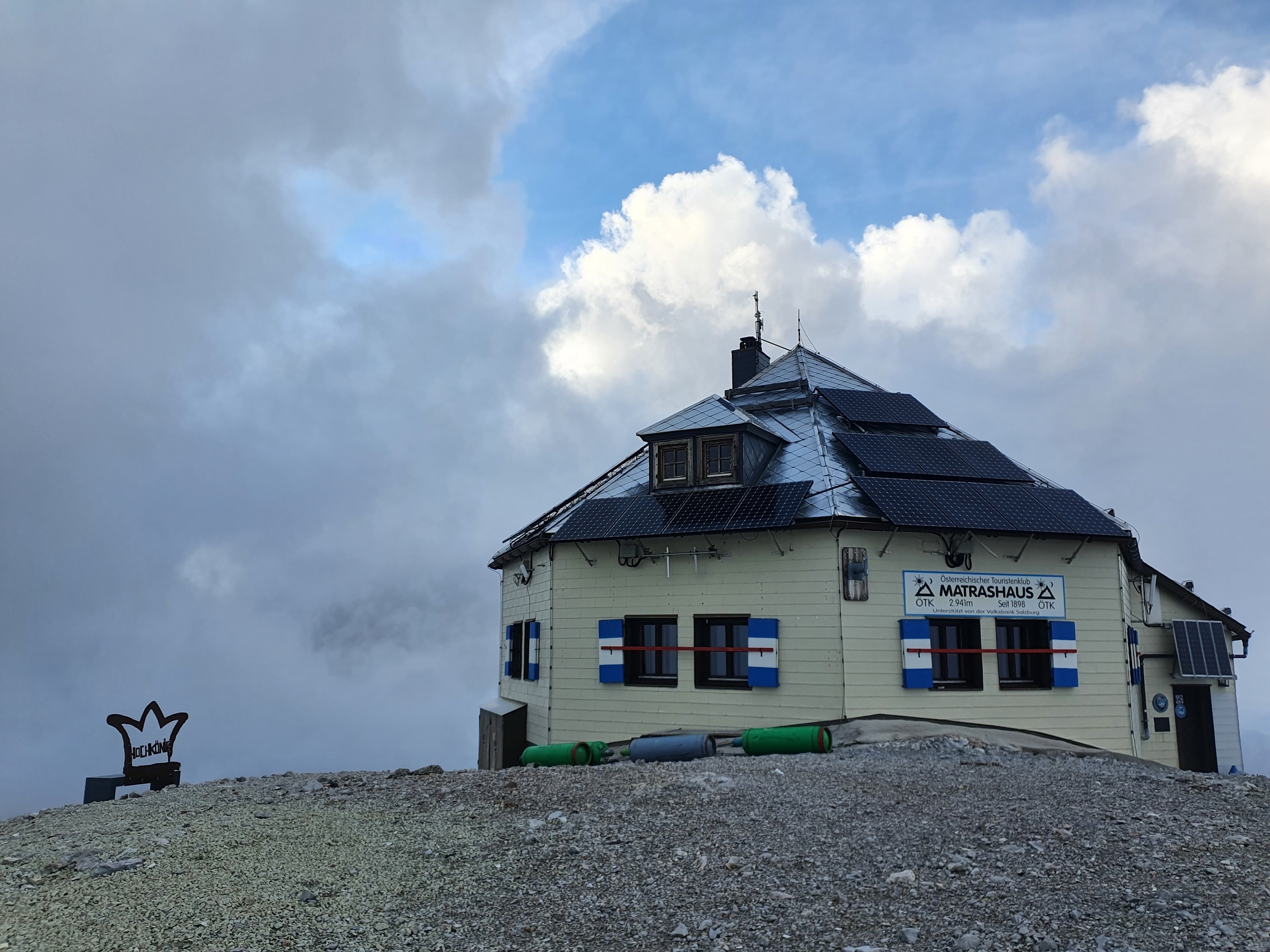
 Mountain hut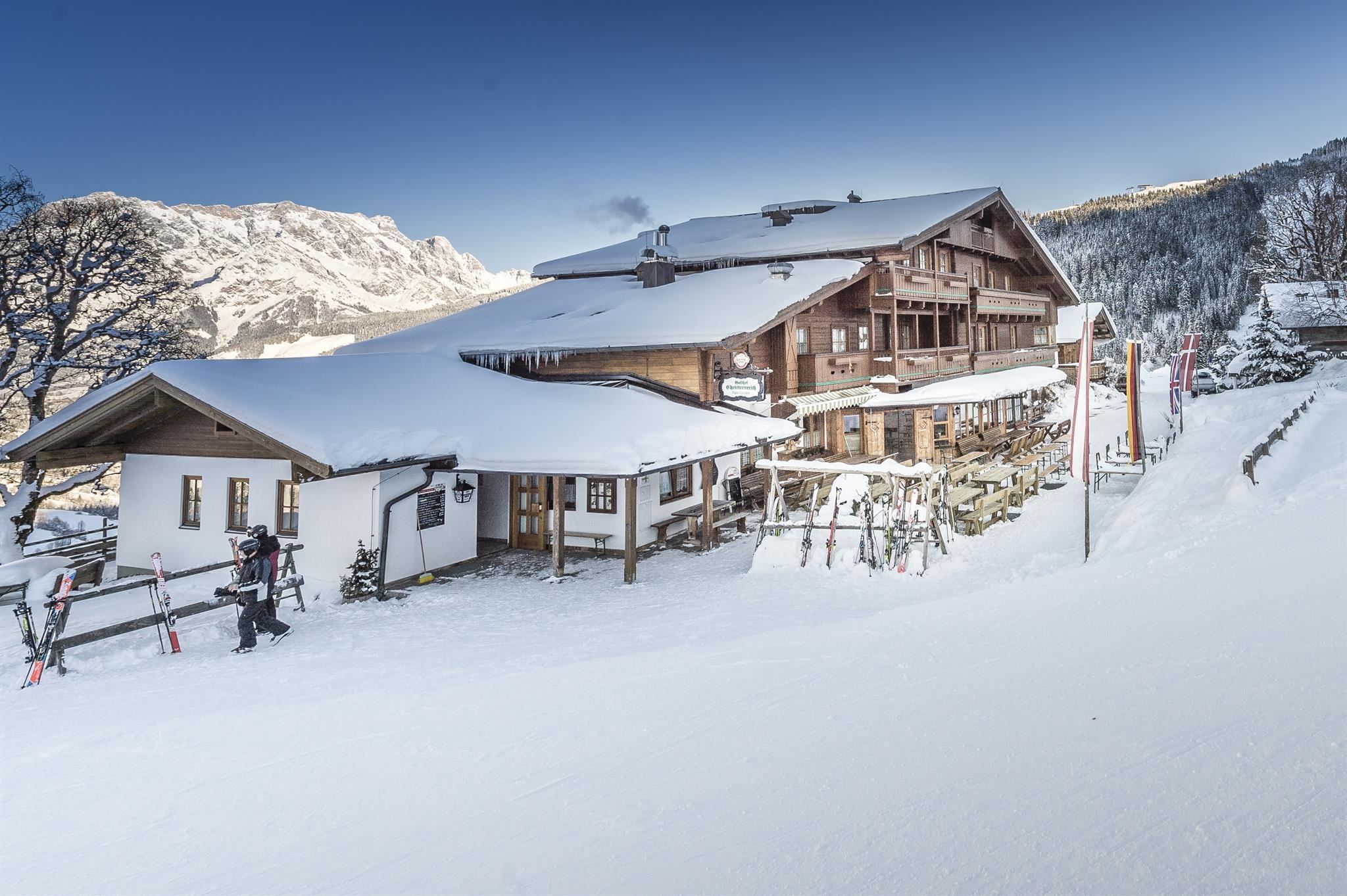
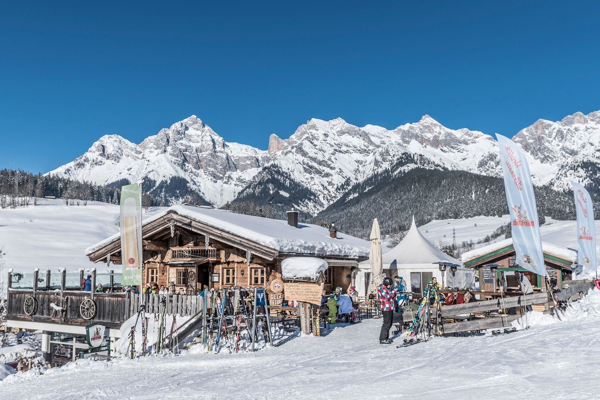
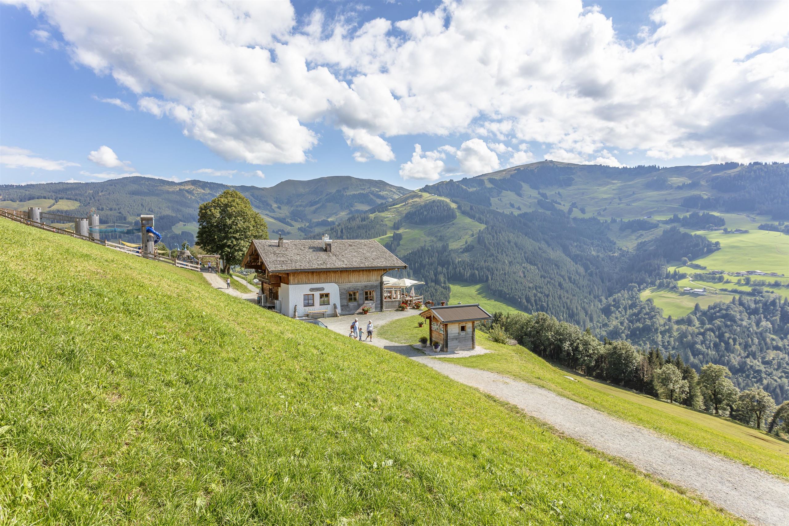
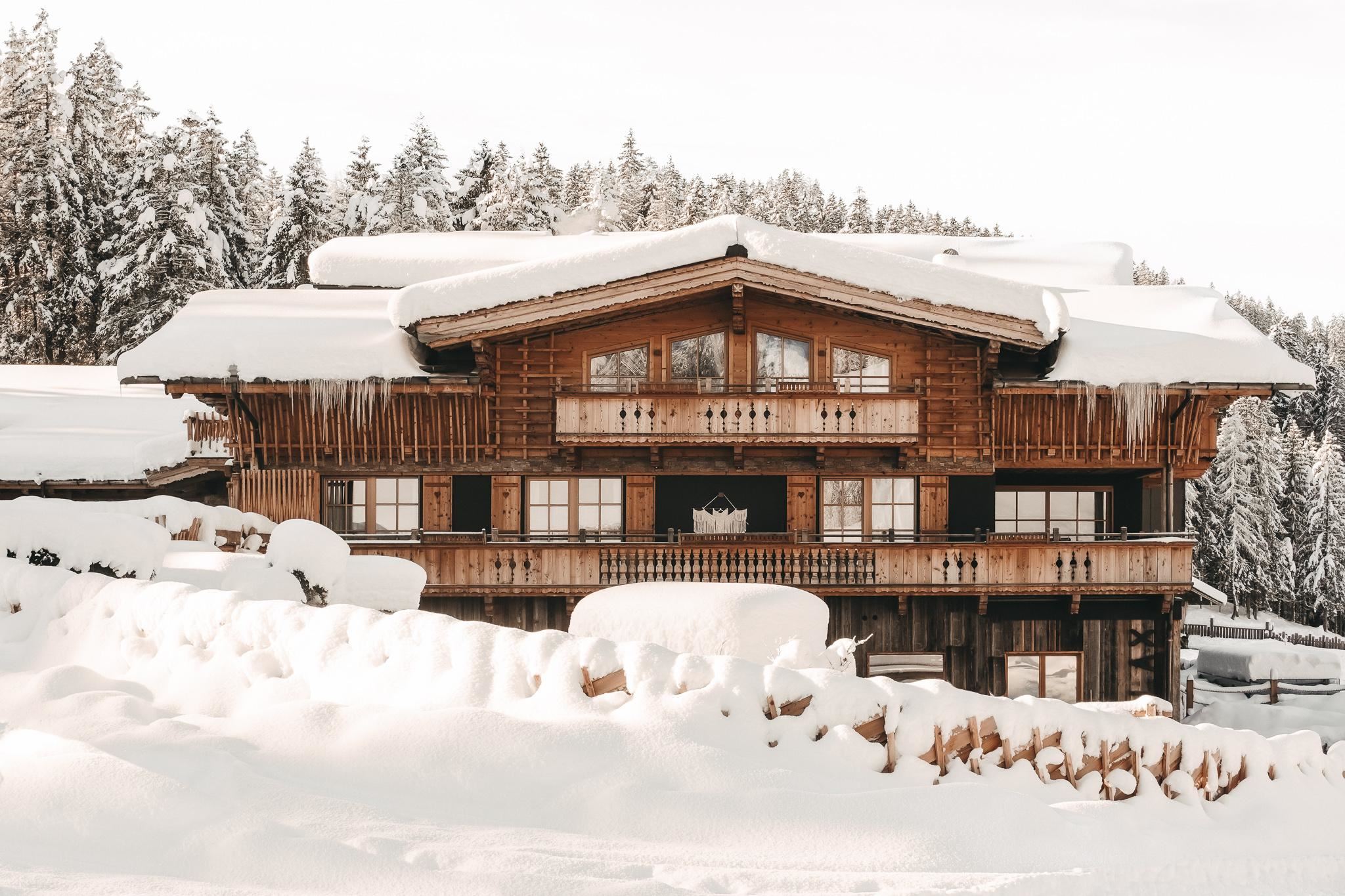
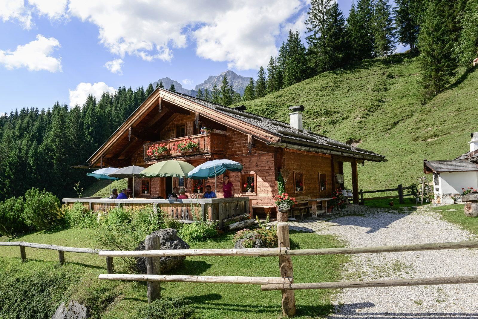
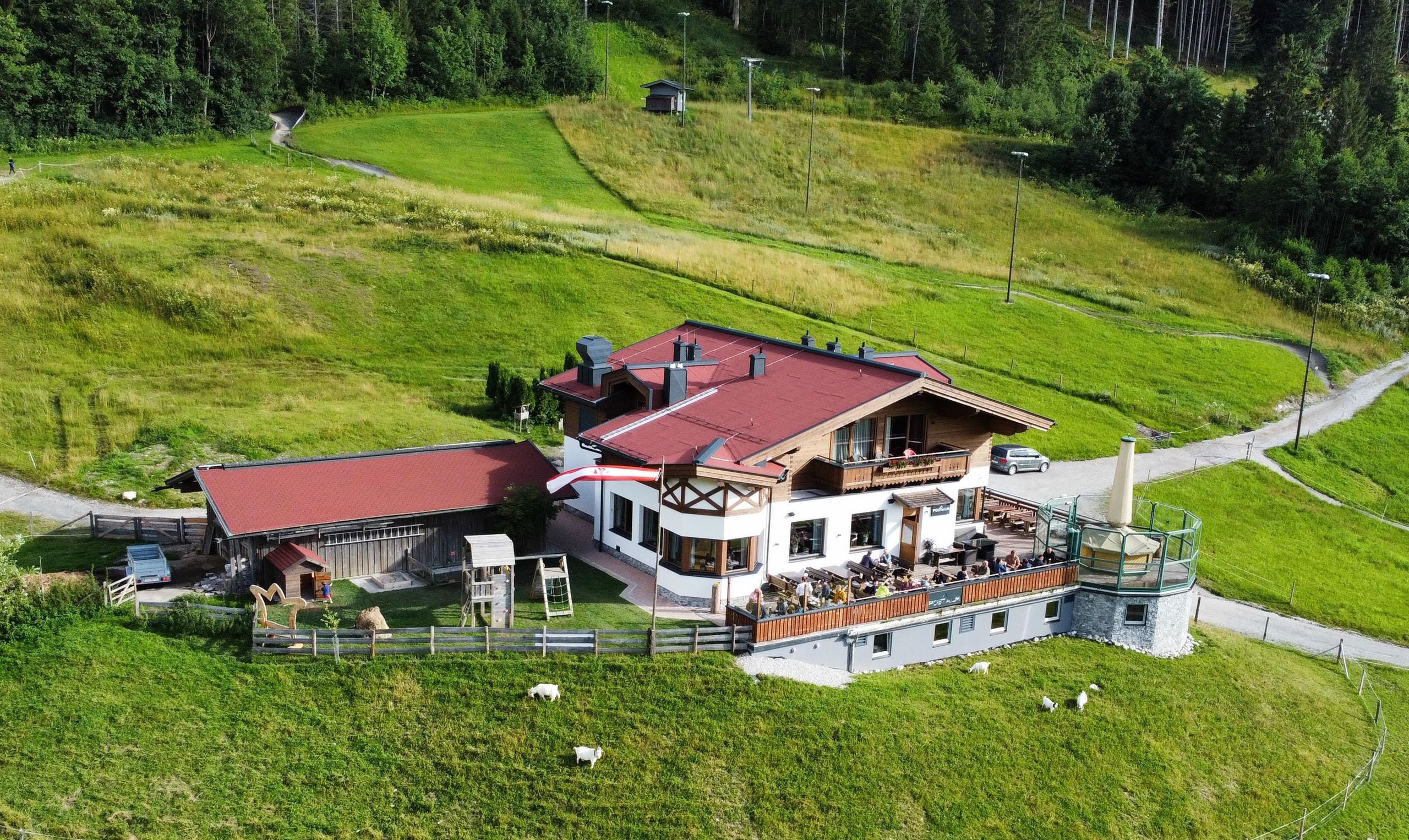
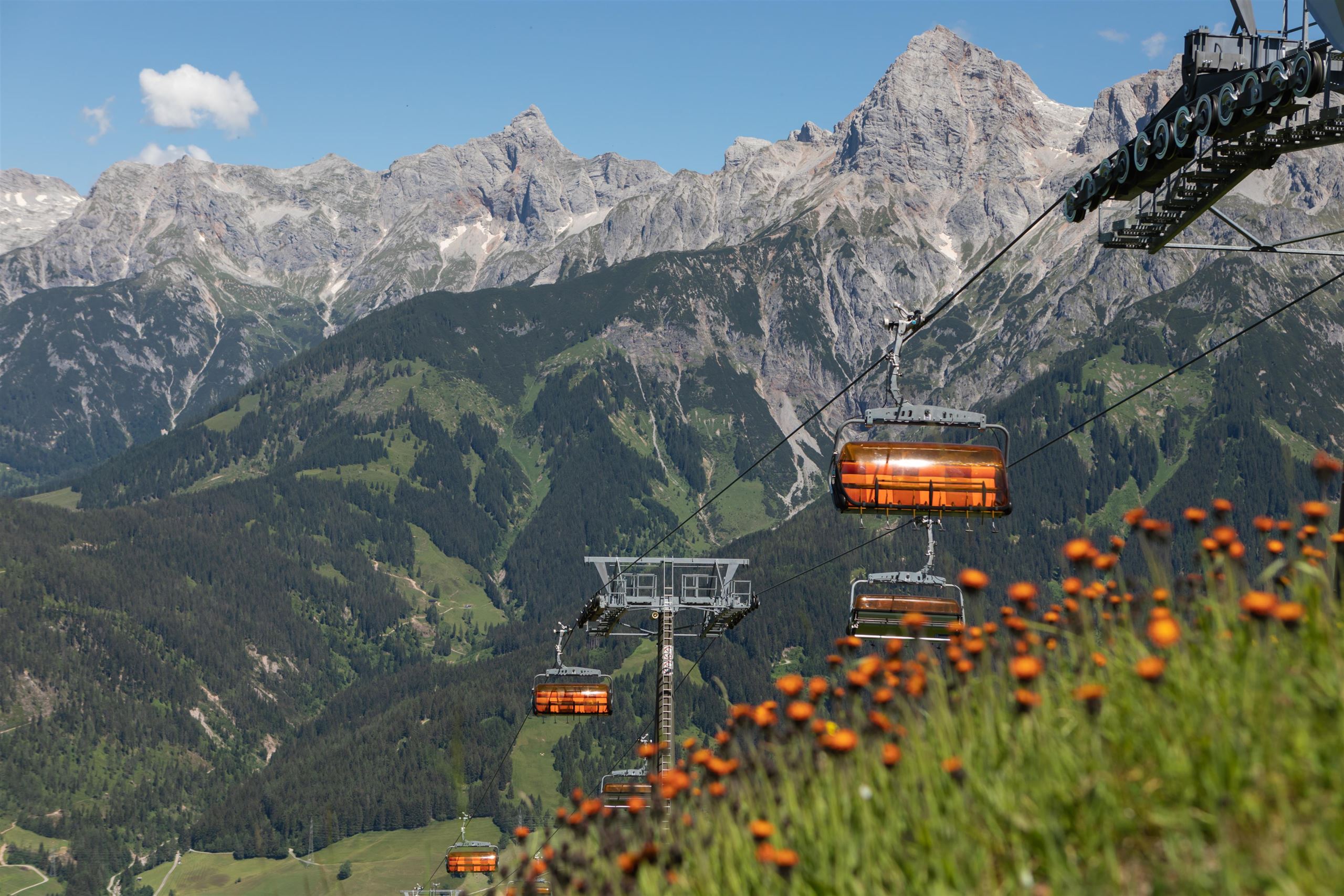
 Cable car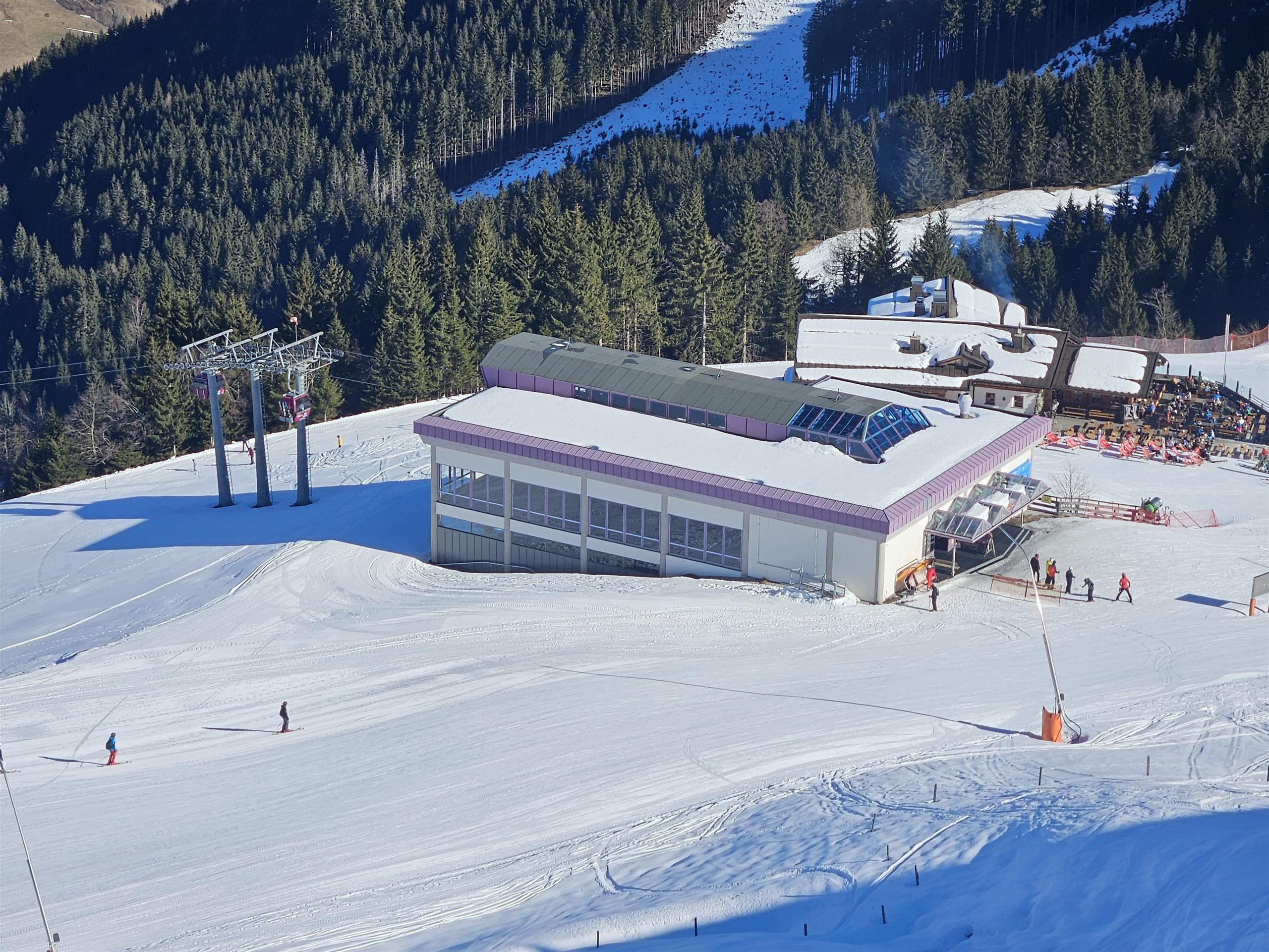















Curated by Hochkönig Tourismus
Maria Alm am Steinernen Meer
A pilgrimage village under the sheer rim of the Steinernes Meer east of Saalfelden, its slender church spire set against the plateau wall and its runs part of the Hochkönig ski round.
- 47Highlights
- 103Routes
- Featured summit · Hochkönig
Highlights
The 20 highest-rated · see the rest on hochkoenig.at ↗
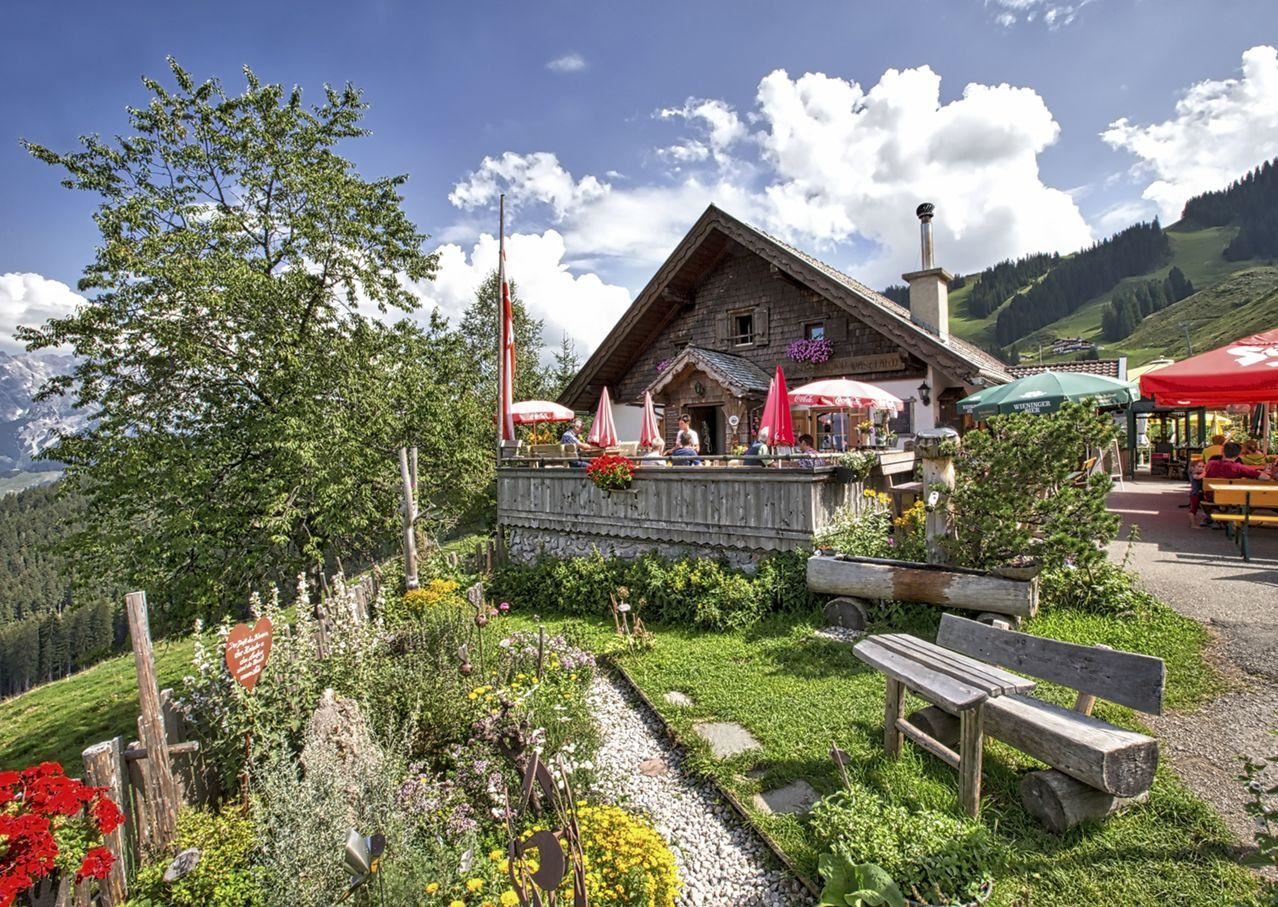
Arbesreitalm 1.100 m
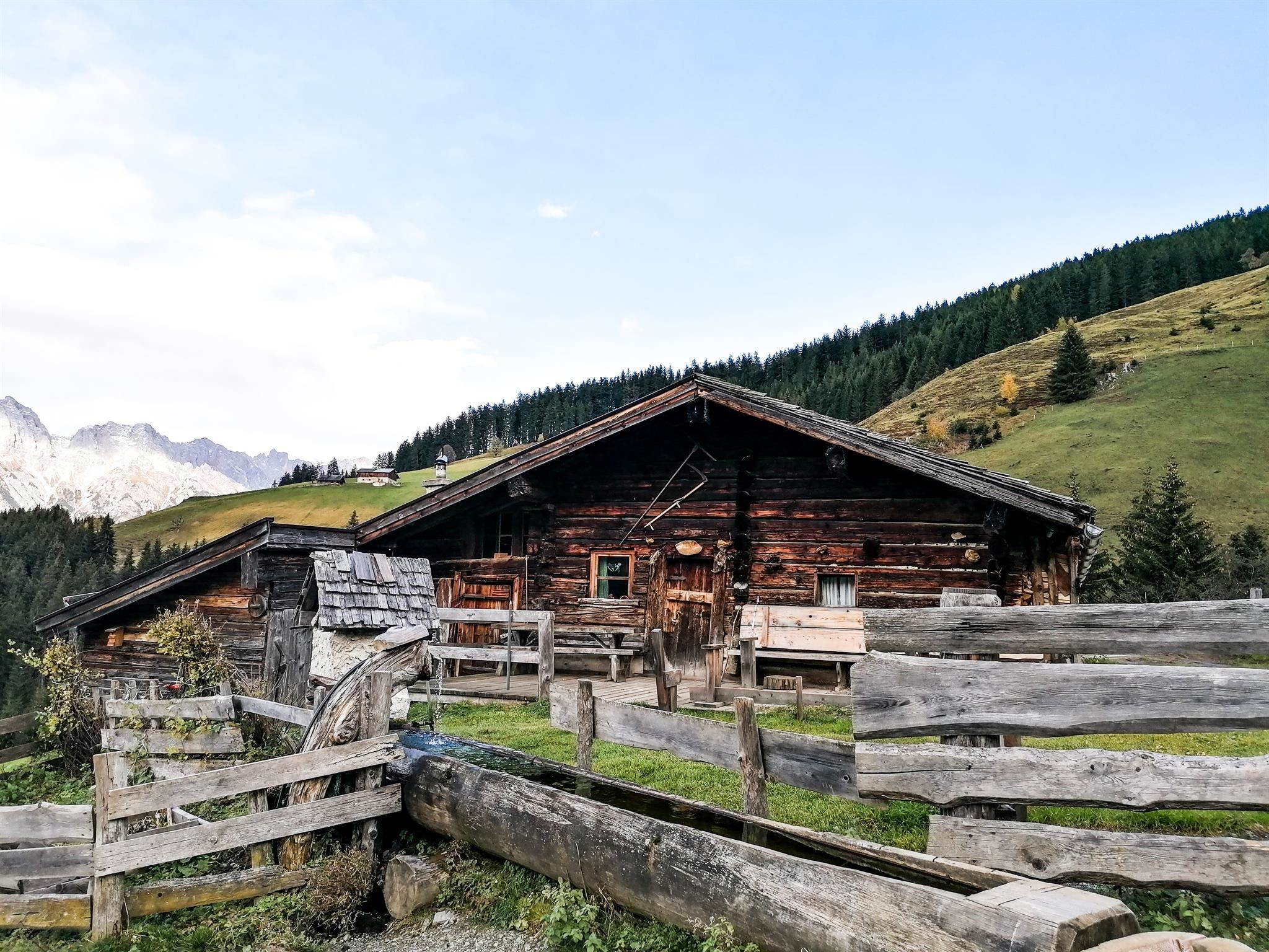
An organic farm alm at 1,100 m above Maria Alm, selling its own produce directly and serving Austrian home cooking.
Berggasthof Christernreith
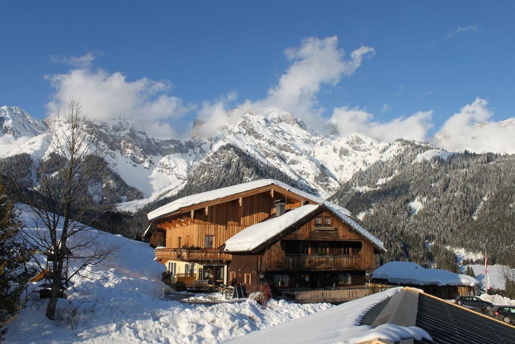
A mountain inn on the slopes above Maria Alm, run as a ski hut in winter and serving regional and traditional dishes year round.
Bärmooshütte 1.300 m
A hut at 1,300 m above Maria Alm serving regional and vegan dishes, a stop on walks towards the Aberg slopes.
Dorfstadl
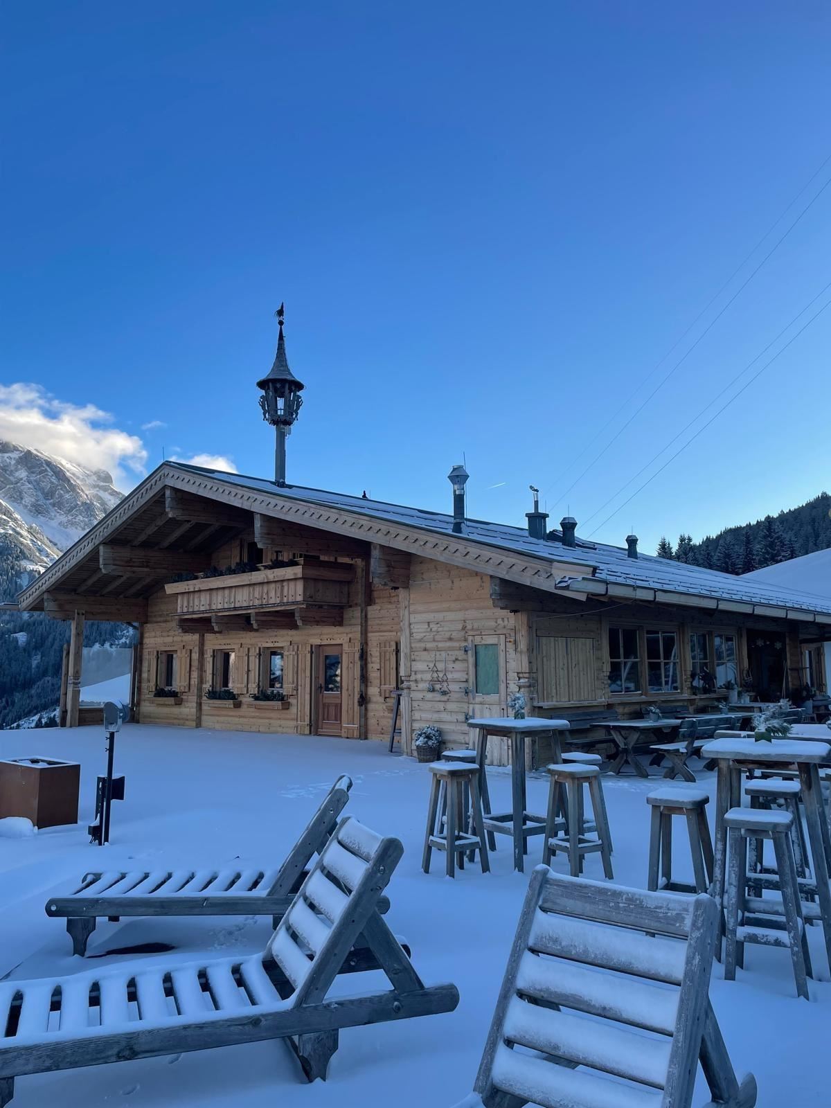
A ski hut and restaurant in Maria Alm combining Austrian home cooking with an après-ski bar at the edge of the village slopes.
Eggeralm 1.200 m
A pasture hut at 1,200 m above Maria Alm, serving home-style regional dishes to walkers on the slopes south of the village.
Gasthof Kronreith
A mountain inn above Maria Alm with a restaurant of Austrian and regional dishes, set on the sunny slope north of the village.
Grießbachalm 1.550 m - Hüttenurlaub Salzburger Land
A hut at 1,550 m above Maria Alm offering simple regional cooking and rentable hut lodging in the Salzburger Land style.
Hochmaisalm
A ski hut and mountain restaurant in the Hochmais sector between Maria Alm and Dienten, serving traditional Austrian food.
Jausenstation Grammlergut 1.120 m
A farm snack station at 1,120 m above Maria Alm, the Grammlergut, serving regional dishes to walkers above the village.
Jufenalm – Bohemian spirit in the alps
A hut restaurant on the Jufen above Maria Alm with a self-described bohemian style, serving Austrian home cooking with valley views.
Mußbachalm 1.213 m
A working alm at 1,213 m above Maria Alm am Steinernen Meer, a simple snack stop on the meadow paths east of the village.
Postalm 900 m
An alm at 900 m just above Maria Alm, an easy walk from the village, serving home-style regional dishes to families and walkers.
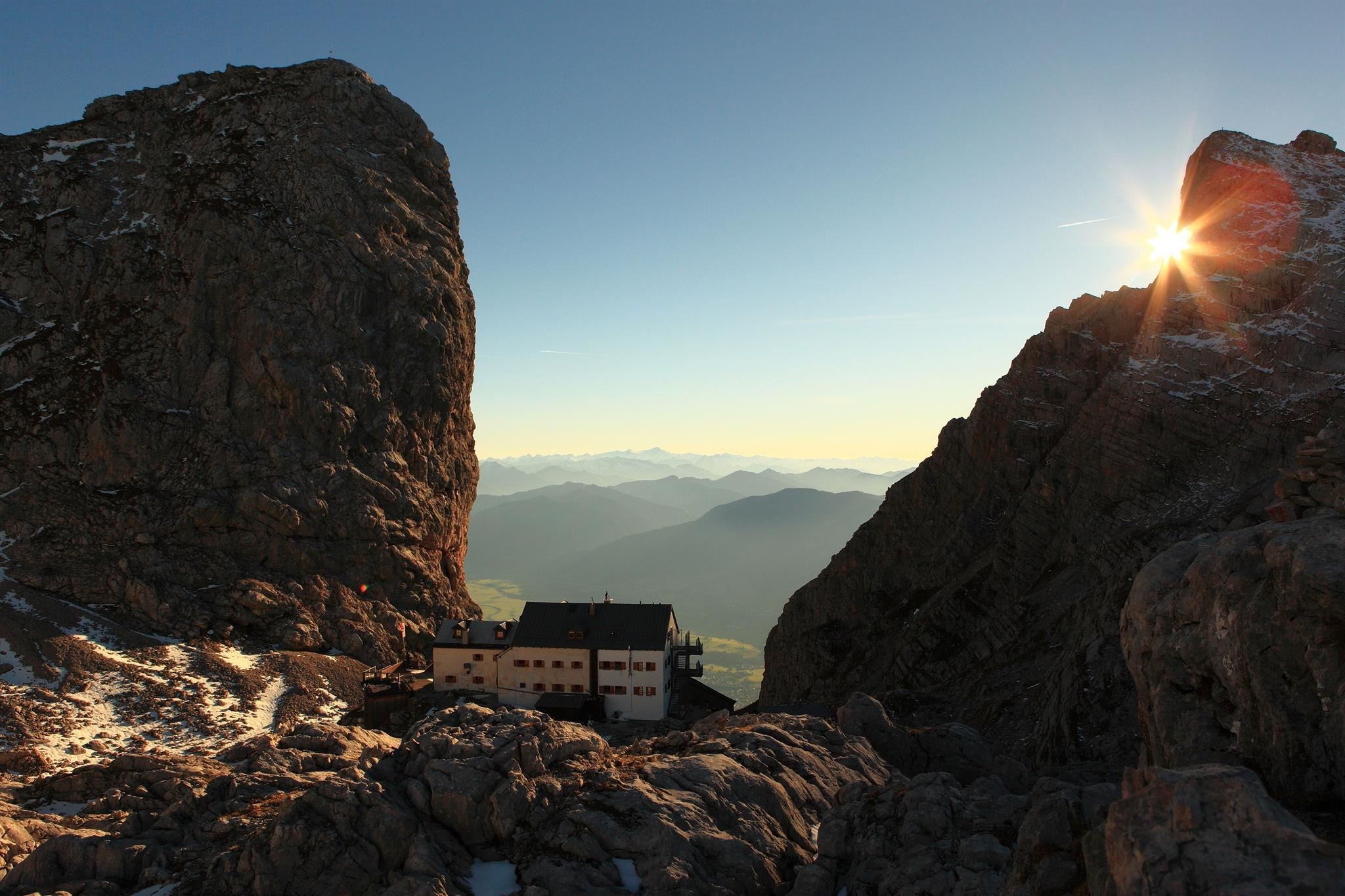
Riemannhaus 2.177 m
An alpine club refuge at 2,177 m on the rim of the Steinernes Meer plateau above Maria Alm, reached by a steep marked ascent from the valley.
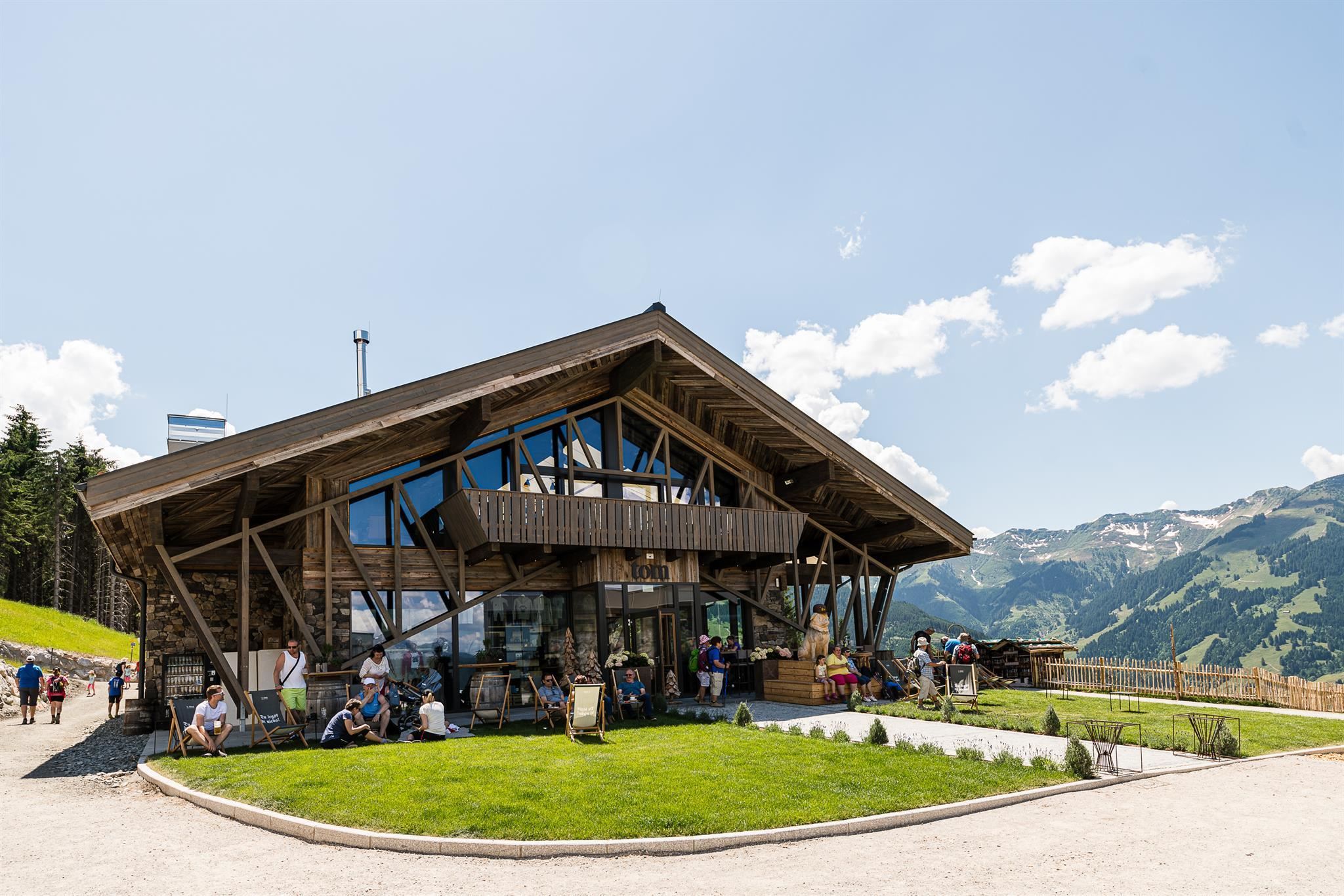
TOM Almhütte 1.163 m
The TOM Almhütte at 1,163 m above Maria Alm, a Falstaff-listed hut selling its own regional produce alongside vegan dishes.
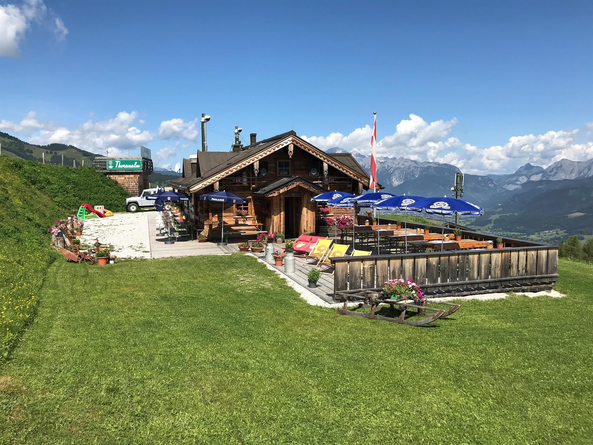
Thoraualm 1.420 m
A pasture hut at 1,420 m above Maria Alm, serving traditional Austrian home cooking on the slopes towards the Aberg.
Wastlalm 1.414 m
A pasture hut at 1,414 m above Maria Alm, serving traditional home cooking with vegan options in the walking country south of the village.
Abergalmbahn 4er Sesselbahn
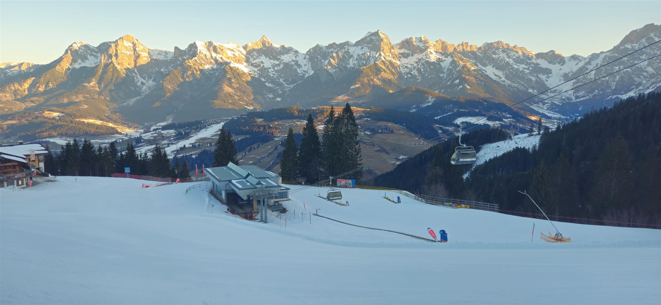
A four-seat chairlift on the Aberg above Maria Alm, part of the lift network linking the village into the Hochkönig ski area.
Abergbahn 8er Kabinenbahn
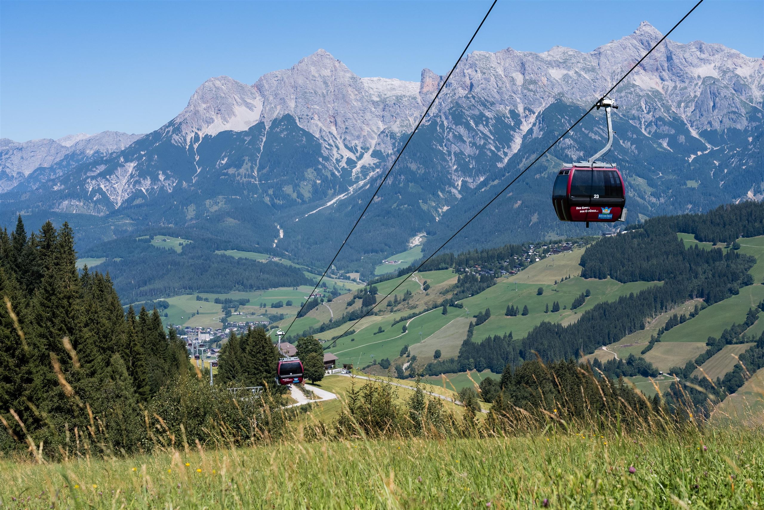
An eight-person gondola from Maria Alm onto the Aberg, the main mountain access on the village's side of the Hochkönig ski area.
Abergbahn 8er Kabinenbahn 1.300m
The Aberg eight-person gondola at Maria Alm, listed at 1,300 m, carrying skiers and summer walkers onto the ridges above the village.
Bogenschnupperkurs
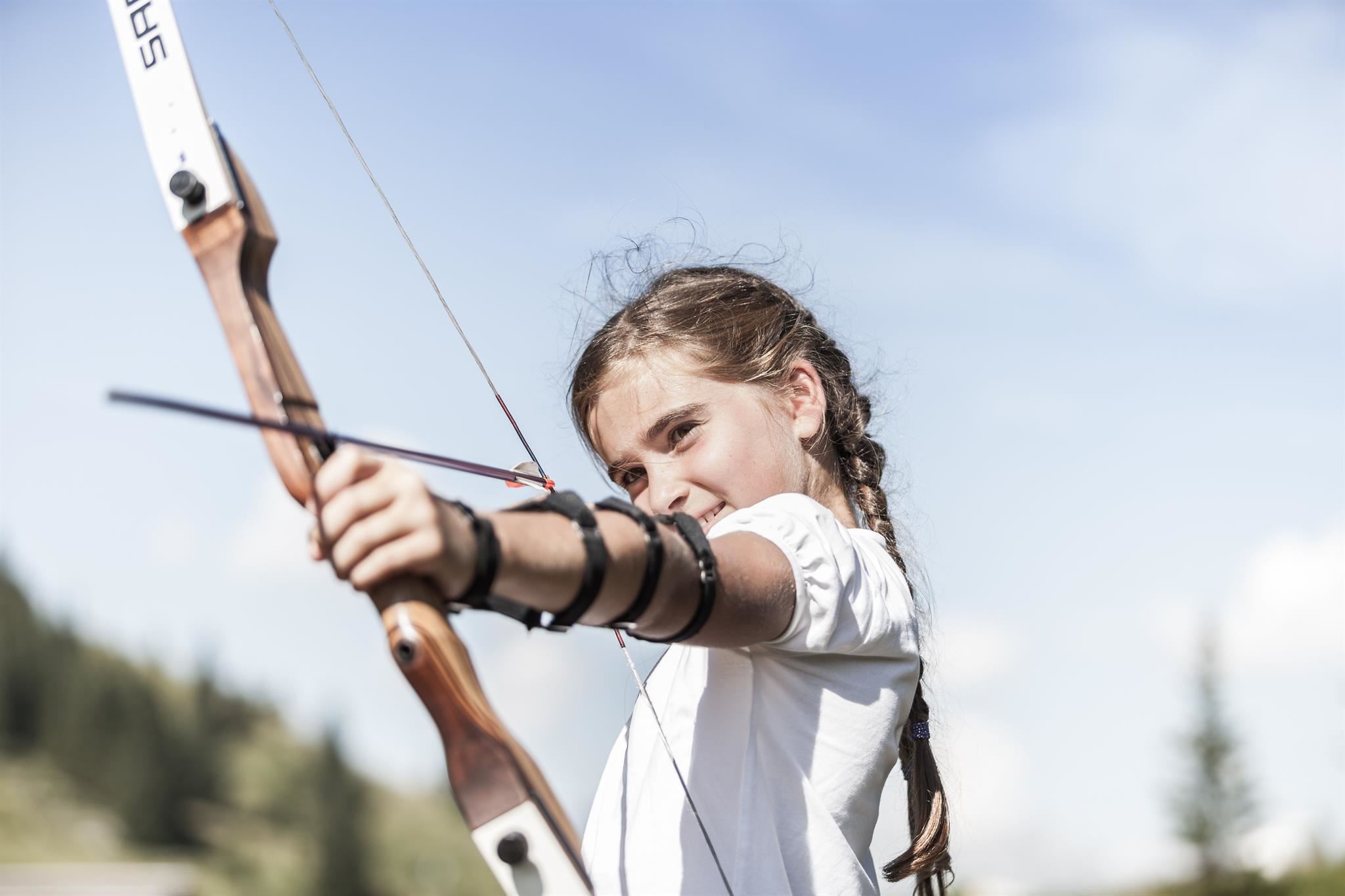
A taster archery course at Maria Alm where beginners and families learn to shoot bow and crossbow under instruction.
Nothing of this kind in Maria Alm am Steinernen Meer.
Routes
50 routes, an even mix of activities · see the rest on hochkoenig.at ↗
Klettersteig Selbhorn - Herzogsteig
A via ferrata onto the Selbhorn, the highest point of the Steinernes Meer, taken over the Lugscharte and Braggstein for some 1,850 m of ascent.
- 14.2 km
- Distance
- 1 825 m
- Ascent
- 13 h 29 min
- Duration
- 4
- Check-ins
Familienwanderung Prinzensee
About twenty minutes of climbing brings families up the Natrun to the Prinzensee, a small lake with an open view in every direction.
- 4.1 km
- Distance
- 162 m
- Ascent
- 1 h 22 min
- Duration
- 62
- Check-ins
Der Königsweg 1. Etappe (Maria Alm - Dienten)
The opening stage leaves Maria Alm over the Natrun and Prinzensee, crosses alm meadows to the Pichlalm, then reaches Dienten either directly or over the Filzensattel.
- 11.8 km
- Distance
- 673 m
- Ascent
- 4 h 29 min
- Duration
- 76
- Check-ins
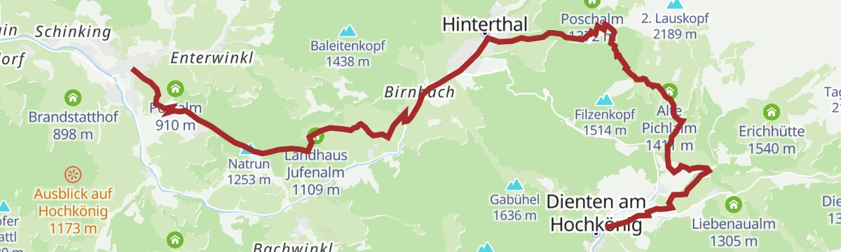
Der Weg der vielen Schritte - Pilgerwandern am Hochkönig
Pilgrim route of nearly 30 km below the Hochkönig, over the Natrun and past the Erichhütte and Jufenalm, meant to be walked step by deliberate step.
- 29.8 km
- Distance
- 1 377 m
- Ascent
- 10 h 31 min
- Duration
- 100
- Check-ins
Skitour zum Statzerhaus auf den Hundstein 2.117 m
A short ski tour of 280 m finishing at the Statzerhaus on the 2,117 m Hundstein.
- 2.8 km
- Distance
- 266 m
- Ascent
- 40 m
- Descent
- 58 min
- Duration
- 57
- Check-ins
Dämmerungstour Hochmais
An evening ski tour on the Hochmais, one of the pistes released from the uphill ban once the lifts stop; 634 m of climbing in 2.4 km.
- 2.4 km
- Distance
- 633 m
- Ascent
- 0 m
- Descent
- 1 h 38 min
- Duration
- 17
- Check-ins
Skitour Schwalbenwand (Nordanstieg)
The north side of the Schwalbenwand, 1,100 m of steady steep skinning past the Oberstegalm.
- 9.7 km
- Distance
- 1 114 m
- Ascent
- 1 114 m
- Descent
- 4 h 6 min
- Duration
- 1
- Check-ins
Natrun Resi Trail (Tour 8)
A short gondola-served descent above Maria Alm, running from the Tom Almhütte down past the Postalm to the lift base at 807 m.
- 3.3 km
- Distance
- 0 m
- Ascent
- 25 min
- Duration
- 29
- Check-ins
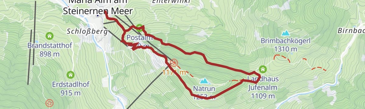
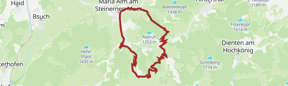
Natrun-Jufen Runde (Tour 3)
A marked circuit on farm tracks from Maria Alm up to the Grammlergut and the Jufenalm, returning beneath the cable cars.
- 11.3 km
- Distance
- 471 m
- Ascent
- 1 h 26 min
- Duration
- 42
- Check-ins
Königstour Bike LIGHT gesamt
A very long day linking the alms of the Hochkönig area, among them the Karbachalm, Bürglalm and Tiergartenalm, with well over 3,000 m of climbing.
- 77.4 km
- Distance
- 3 609 m
- Ascent
- 10 h 17 min
- Duration
- 152
- Check-ins
IRONMAN 70.3. WM-Radstrecke
The road racing circuit around Zell am See, running out to Bruck in the Salzach valley and over the Filzensattel before returning to the lake.
- 89.9 km
- Distance
- 1 247 m
- Ascent
- 9 h 9 min
- Duration
- 17
- Check-ins
Wanderung von der Schwarzeckalm nach Maria Alm am Steinernen Meer über Natrun
An easy 5 km descent from Hintermoos to Maria Alm, calling at the Jausenstation Grammlergut on the way.
- 5.2 km
- Distance
- 270 m
- Ascent
- 2 h 6 min
- Duration
- 27
- Check-ins
Ach du grüne Neune - Schafgarbenrunde
An 11 km herb round over the Natrun and Brimbachkögerl with a stop at the Tom Almhütte; the Brimbachalm itself is closed.
- 11.0 km
- Distance
- 632 m
- Ascent
- 4 h 26 min
- Duration
- 71
- Check-ins
Wallfahrerweg zum Königssee
A 28 km pilgrim crossing of the Steinernes Meer limestone plateau, by way of the Ramseider Scharte, Riemannhaus and Funtensee to the Königssee in Berchtesgaden.
- 28.2 km
- Distance
- 1 828 m
- Ascent
- 12 h 47 min
- Duration
- 87
- Check-ins
Dämmerungstour Aberg
A dusk ski tour on the Aberg, climbing 770 m past the Abergalm and Wastlalm on pistes kept open for uphill travel.
- 8.3 km
- Distance
- 833 m
- Ascent
- 827 m
- Descent
- 3 h 11 min
- Duration
- 6
- Check-ins
MA10 Primbach Wawi Twoway Trail
A very short two-way singletrack above Maria Alm, ridden in either direction, with barely 130 m of height between its two ends.
- 1.5 km
- Distance
- 121 m
- Ascent
- 13 min
- Duration
e-Bike Tour - Jufen
An assisted climb from Maria Alm to the Jufenalm at 1,104 m, with a Jausenstation on the way and a track descent under the gondola.
- 11.3 km
- Distance
- 467 m
- Ascent
- 1 h 26 min
- Duration
- 42
- Check-ins
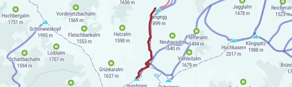
MTB Tour - Hundstein Runde (Tour 5)
A full-day circuit from Maria Alm over the ridge at 2,117 m and on across Langegg and the Ronachkopf, returning by way of the Enzianhütte.
- 42.7 km
- Distance
- 1 446 m
- Ascent
- 5 h 9 min
- Duration
- 86
- Check-ins
Dientner Runde + Rauriserhöhe
A long road circuit from Maria Alm over the Filzensattel to Bruck at the mouth of the Salzach valley, with a second big climb before the return.
- 72.7 km
- Distance
- 1 642 m
- Ascent
- 7 h 60 min
- Duration
- 16
- Check-ins
Alm- und Hüttenwanderung von Hintermoos zum Jufen
A straightforward family walk from Hintermoos up to the Jufenalm, looking across to Maria Alm and the Steinernes Meer.
- 5.1 km
- Distance
- 249 m
- Ascent
- 1 h 50 min
- Duration
- 25
- Check-ins
PINZGA HATSCHA Etappe 9 (vom Statzerhaus nach Maishofen)
Ninth stage of the Pinzgau long-distance route, descending from the Statzerhaus on the Hundstein past the Kammeregg Alm and Schloss Kammer to Maishofen.
- 14.8 km
- Distance
- 289 m
- Ascent
- 5 h 42 min
- Duration
- 66
- Check-ins
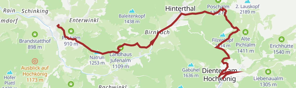
PINZGA HATSCHA Etappe 5 (von Maria Alm nach Dienten)
Stage 5 of a long-distance route through the Pinzgau: 17 km from Maria Alm over the Natrun and the Jufenalm to Dienten.
- 17.3 km
- Distance
- 1 085 m
- Ascent
- 6 h 56 min
- Duration
- 79
- Check-ins
Dämmerungstour Hintermoos
A short evening skin above Hintermoos to the Melchamalm, 532 m of ascent on a piste opened for uphill use.
- 3.4 km
- Distance
- 567 m
- Ascent
- 112 m
- Descent
- 1 h 41 min
- Duration
- 4
- Check-ins
MA11 Primbach "Traudi" Trail
An easy singletrack of three kilometres through the woods above Maria Alm, nearly level from one end to the other.
- 3.0 km
- Distance
- 0 m
- Ascent
- 24 min
- Duration
MA08 Primbach Tour von Maria Alm nach Hinterthal
A forest-road crossing over the Brimbachsattel at 1,277 m, climbing from the Steinbock inn and dropping past the closed Brimbachalm on the far side.
- 9.9 km
- Distance
- 501 m
- Ascent
- 1 h 17 min
- Duration
- 5
- Check-ins
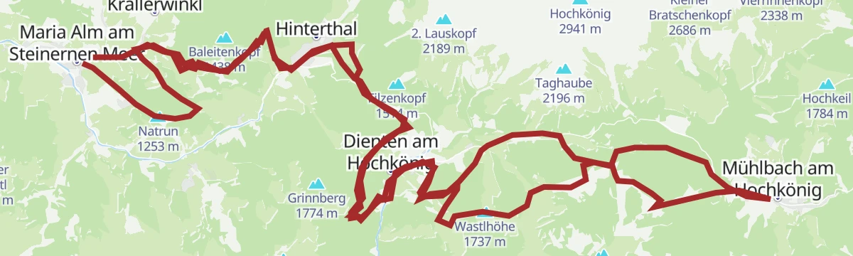
MTB - Panoramatour Region Hochkönig
A long forest-road traverse from the alms above Maria Alm, over the Wastlhöhe and by the Mittereggalm and Zachhof Alm, down to Bischofshofen at 550 m.
- 48.3 km
- Distance
- 1 940 m
- Ascent
- 6 h 12 min
- Duration
- 78
- Check-ins
Postalm Rundweg
Barely 2 km from Maria Alm up to the Postalm and back, with 100 m of climbing.
- 1.8 km
- Distance
- 92 m
- Ascent
- 41 min
- Duration
- 9
- Check-ins
Alm- und Hüttenwanderung Rundweg Natrun - Jufen
An 8 km loop on the Natrun, the home mountain of Maria Alm, taking in the Postalm, Jufenalm and Tom Almhütte.
- 8.0 km
- Distance
- 411 m
- Ascent
- 2 h 58 min
- Duration
- 50
- Check-ins
Via Alpina 3. Etappe
Third Via Alpina stage, following alm paths from the Hochkönig towards the Steinernes Meer by the Pichlalm, the Jufenalm and the Natrun.
- 17.4 km
- Distance
- 774 m
- Ascent
- 6 h 22 min
- Duration
- 78
- Check-ins
Skitour Marbachhöhe
A 900 m ski tour up to the Marbachhöhe, passing the Eggeralm on the way.
- 9.1 km
- Distance
- 872 m
- Ascent
- 872 m
- Descent
- 3 h 24 min
- Duration
- 1
- Check-ins
MA09 Primbach Tour von Hinterthal nach Maria Alm
The Brimbachsattel crossing ridden in the opposite direction, a gentler climb to the 1,277 m saddle and a longer descent past the Hochmais lift.
- 9.9 km
- Distance
- 283 m
- Ascent
- 1 h 13 min
- Duration
- 5
- Check-ins
e-Bike Tour auf den Hundstein - Variante Aberg
A steep assisted climb by way of the Abergalm and the Bärmooshütte, finishing on the alm tracks up to the Statzerhaus at 2,117 m.
- 14.0 km
- Distance
- 1 374 m
- Ascent
- 2 h 17 min
- Duration
- 66
- Check-ins
Familienwanderung Rundweg Golfplatz
A flat 6 km circuit of the golf course at Maria Alm, with only 50 m of climbing.
- 6.1 km
- Distance
- 43 m
- Ascent
- 1 h 32 min
- Duration
- 7
- Check-ins
DEN KRÄUTERN AUF DER SPUR von der Steinbockalm zur Mußbachalm
A herb walk out of Hinterthal linking the Steinbockalm, Pichlalm and Mußbachalm over the Gabühel, with alpine plants labelled along the way.
- 12.4 km
- Distance
- 845 m
- Ascent
- 5 h 39 min
- Duration
- 40
- Check-ins
Pinzgauer Marienweg Etappe 11: Dienten - Maria Alm
Eleventh stage of the Pinzgauer Marienweg, crossing the Filzensattel from Dienten and passing the Jufenalm on the way to Maria Alm.
- 16.3 km
- Distance
- 653 m
- Ascent
- 5 h 41 min
- Duration
- 74
- Check-ins
Gravelbiketour Hinterreitrunde
A short gravel circuit on the slopes above Maria Alm, passing the Theurerhof campsite and the Brandstatthof farm with under 200 m of climbing.
- 8.8 km
- Distance
- 155 m
- Ascent
- 56 min
- Duration
- 3
- Check-ins
MTB Tour - Hundstein "Hundstoa biag di"
A 1,450 m climb on forest roads and alm tracks past the Kröllalm and the Lohningalm to the Statzerhaus at 2,117 m on the summit ridge.
- 18.6 km
- Distance
- 1 361 m
- Ascent
- 2 h 39 min
- Duration
- 53
- Check-ins
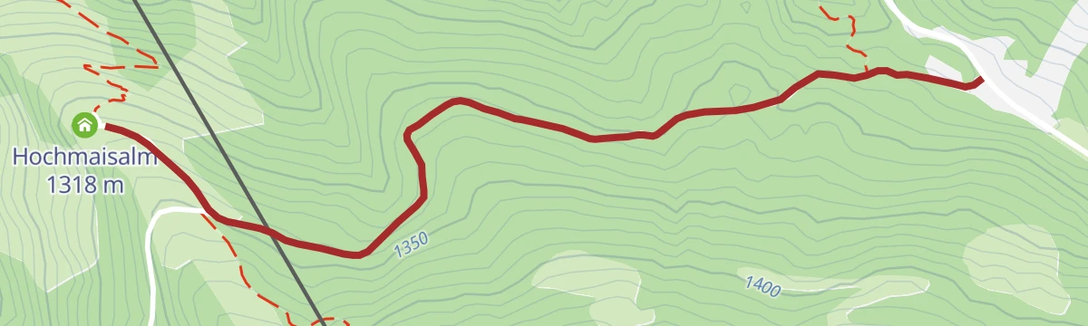
Spazierweg und leichte Wanderung "Von Hinterthal auf die Hochmaisalm"
An easy climb over meadows from Hinterthal to the Hochmaisalm, 330 m up in under 4 km.
- 3.9 km
- Distance
- 331 m
- Ascent
- 2 h 6 min
- Duration
- 7
- Check-ins
Von der Bergstation Abergbahn über die Wastlalm zur Grießbachalm nach Unterberg
From the Aberg top station across pasture to the Wastlalm, then along the Langegg to the Grießbachalm and down to Unterberg.
- 12.1 km
- Distance
- 648 m
- Ascent
- 5 h 30 min
- Duration
- 40
- Check-ins
Gipfelstürmertour "Schwalbenwand und Hundstein"
A 25 km day from Maria Alm that takes the Schwalbenwand first and the Hundstein second, finishing at the Statzerhaus.
- 25.6 km
- Distance
- 1 674 m
- Ascent
- 11 h 20 min
- Duration
- 69
- Check-ins
e-Bike Tour - Hinterreit Runde
An easy motor-assisted round of twelve kilometres on the tracks around the Theurerhof and the Brandstatthof, with little more than 200 m of climbing.
- 12.3 km
- Distance
- 181 m
- Ascent
- 1 h 16 min
- Duration
- 3
- Check-ins
MTB Tour - Örgenbauer-Biberg Runde
A long forest-road round from Maria Alm past the Ritzensee, climbing to a mountain inn at 1,443 m by way of the Huggenberg and Unterbiberg alms.
- 36.1 km
- Distance
- 922 m
- Ascent
- 4 h 4 min
- Duration
- 35
- Check-ins
Familienwanderung zur Hochmaisalm
A pram-friendly 3.8 km walk to the Hochmaisalm, which has a playground beside the hut.
- 3.8 km
- Distance
- 118 m
- Ascent
- 1 h 11 min
- Duration
- 3
- Check-ins
Alm- und Hüttenwanderung "Hochmaisalm & Steinbockalm"
An 8 km round over the Gabühel and Filzensattel with two possible stops, the Hochmaisalm and the Steinbockalm.
- 8.1 km
- Distance
- 394 m
- Ascent
- 2 h 54 min
- Duration
- 36
- Check-ins
Gipfelstürmertour von der Abergbahn auf den Hundstein
From the top station of the Abergbahn, a high traverse over the Langegg to the Hundstein at 2,117 m, one of Europe's highest grass mountains.
- 15.0 km
- Distance
- 985 m
- Ascent
- 6 h 40 min
- Duration
- 65
- Check-ins
Gravelbiketour Kronreith (Tour 2)
A short gravel loop above Maria Alm to the Gasthof Kronreith, taking in the Hochreitshöhe viewpoint before dropping back past the Natrunbahn.
- 10.4 km
- Distance
- 354 m
- Ascent
- 1 h 15 min
- Duration
- 1
- Check-ins
MTB Tour - Hintermoos-Jufen-Runde (Tour 4)
A forest-road round over four alms, the Kröllalm, Melchamalm, Bärmooshütte and Jufenalm, on the slopes high above the valley floor near Maria Alm.
- 18.2 km
- Distance
- 834 m
- Ascent
- 2 h 24 min
- Duration
- 28
- Check-ins
Rundwanderung Bergerbauer über Dürnberg zum Gasthof Kronreith
An easy round from Maria Alm past the golf course and the Bergerbauer, then over the Dürnberg to the Gasthof Kronreith.
- 6.6 km
- Distance
- 237 m
- Ascent
- 2 h 8 min
- Duration
- 2
- Check-ins
Alm- und Hüttenwanderung Hinterthal
An 11 km round from Hinterthal onto the Hochmais, taking in the Steinbockalm, Gabühelhütte and Filzensattel.
- 10.9 km
- Distance
- 659 m
- Ascent
- 4 h 33 min
- Duration
- 36
- Check-ins
Aussichtsreiche Bergtour auf das Breithorn und den Sommerstein
1,336 m of ascent in under 5 km from the Sandten car park, by way of the Ramseider Scharte and Riemannhaus, to the 2,504 m Breithorn.
- 5.0 km
- Distance
- 1 348 m
- Ascent
- 4 h 48 min
- Duration
- 48
- Check-ins
No routes of this kind in Maria Alm am Steinernen Meer yet.
The region's own picks

Featured route
Familienwanderung Prinzensee
About twenty minutes of climbing brings families up the Natrun to the Prinzensee, a small lake with an open view in every direction.
Planning a trip to Maria Alm am Steinernen Meer?
Everything else Salzburg (state) has, in one place


Take Maria Alm am Steinernen Meer with you into the mountains
Every route on this page with 3D terrain, GPX navigation and offline maps — including the valleys with no signal.
Data sources
- Official website: hochkoenig.at ↗
- Routes and highlights: Hochkönig Tourismus, Zell am See-Kaprun Tourismus
- Published as open data by the tourist boards named above.
- Region summary generated from the board's own material.
