

















Curated by Sterzing, Pfitsch und Freienfeld
Malles Venosta/Mals
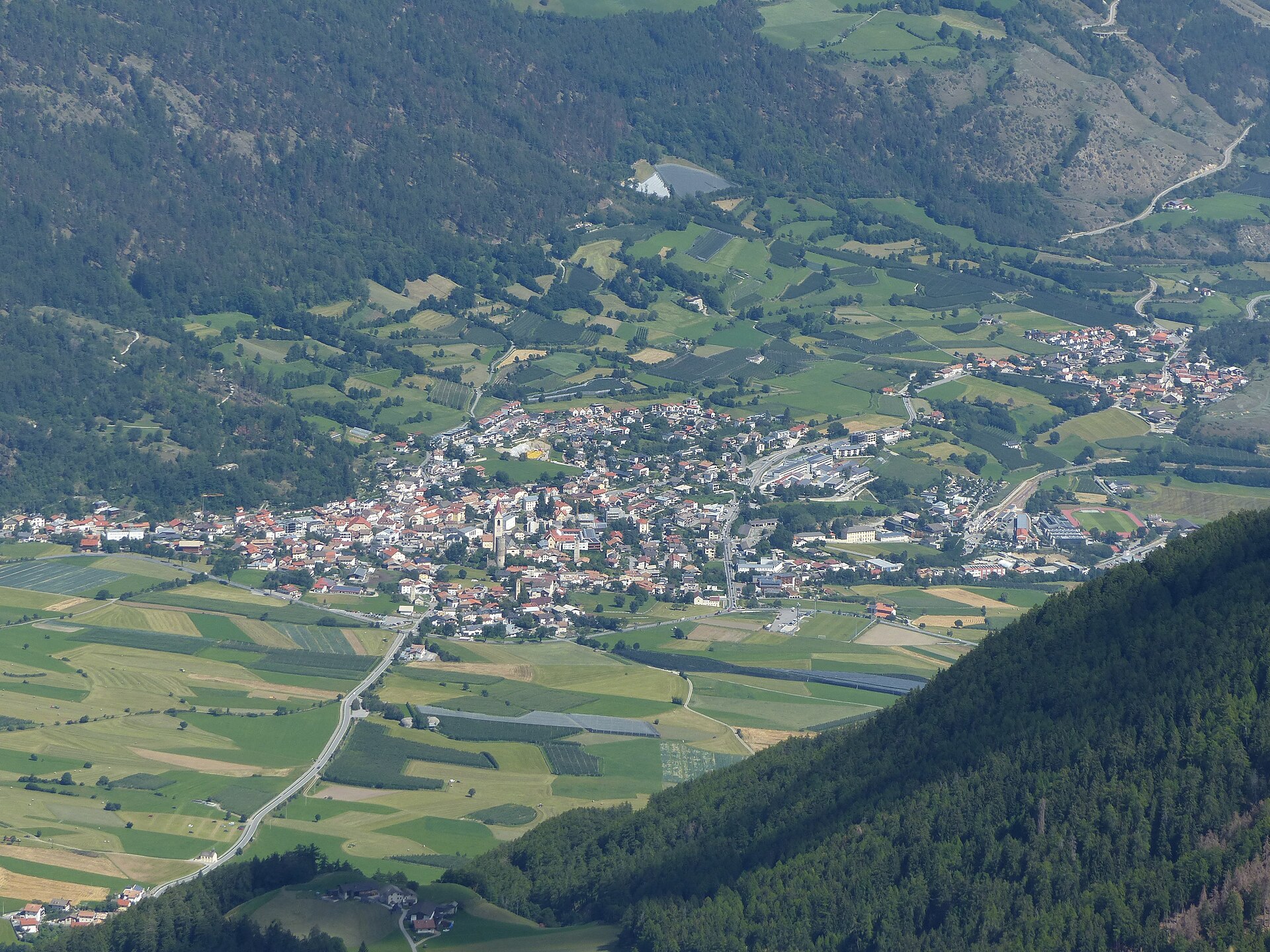
The upper Val Venosta's village of church towers, below the Sesvenna group near the Swiss border.
Photo: Whgler · CC BY 4.0 licence
- 3Highlights
- 48Routes
- Featured summit · Piz Sesvenna
Highlights
2 from neighbouring places
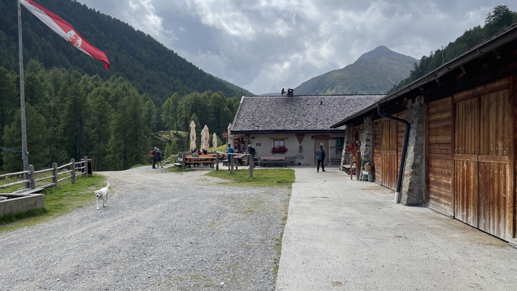
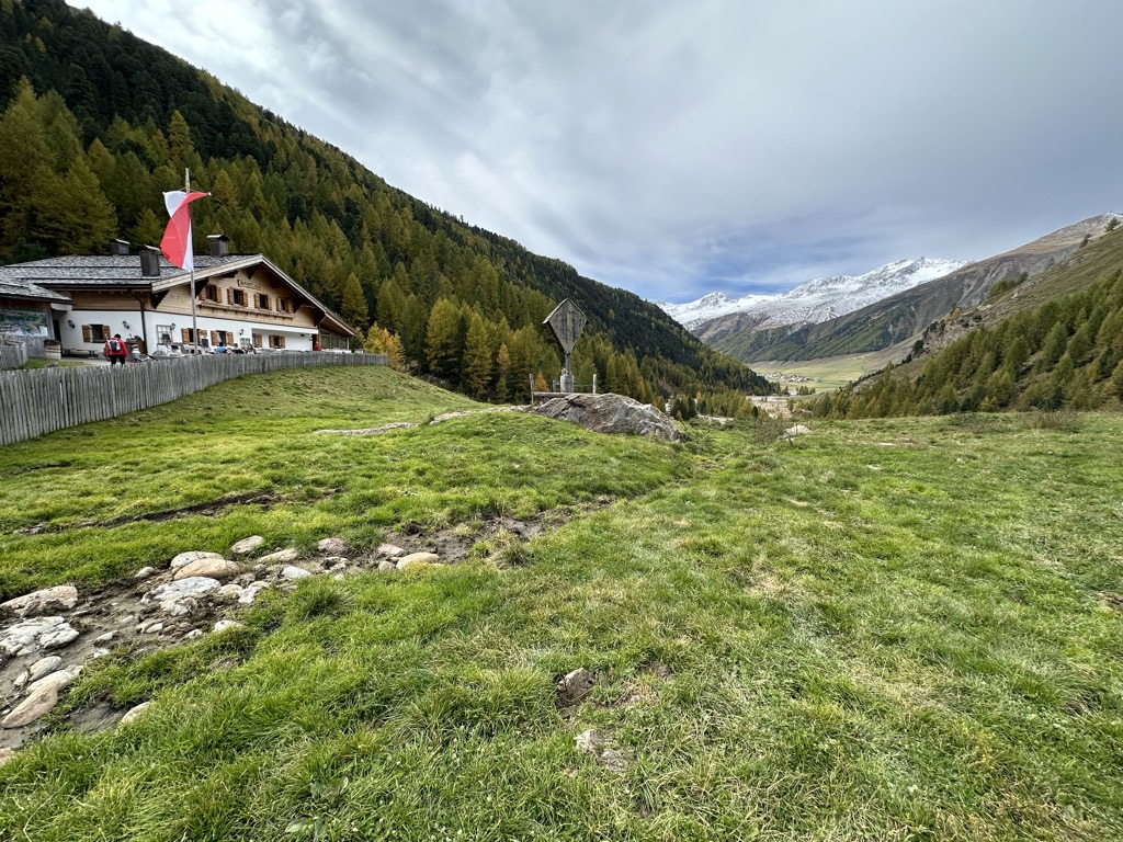
Malga Brugger
A dairy hut on the pastures above Malles Venosta, high on the slopes of the upper Vinschgau.
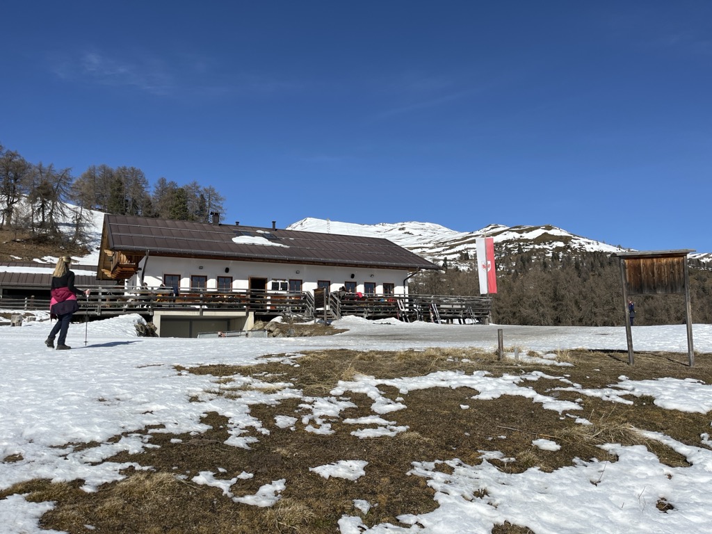
Sterzing, Pfitsch und FreienfeldMalga Höfer
A farm dairy hut above the Malles basin, on the open slopes of the upper Vinschgau.
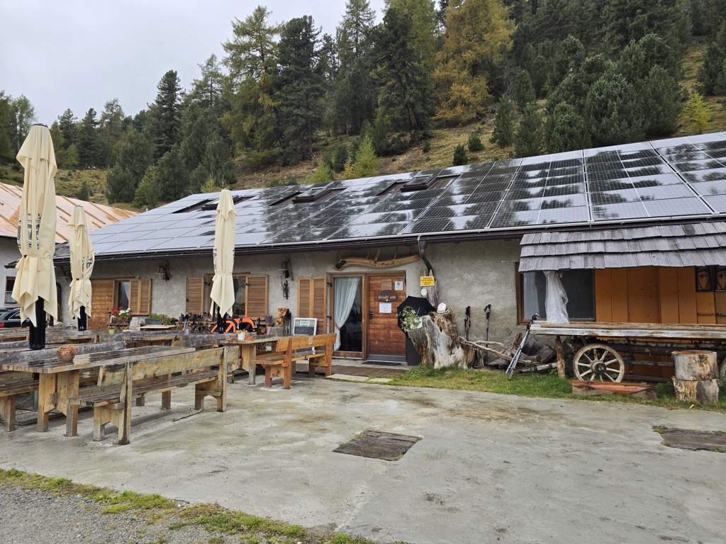
Sterzing, Pfitsch und FreienfeldMalga di Mazia
A dairy hut in the Matscher Tal above Mazia, in the comune of Malles Venosta, on the long approach to the Weisskugel and the Ötztal Alps.
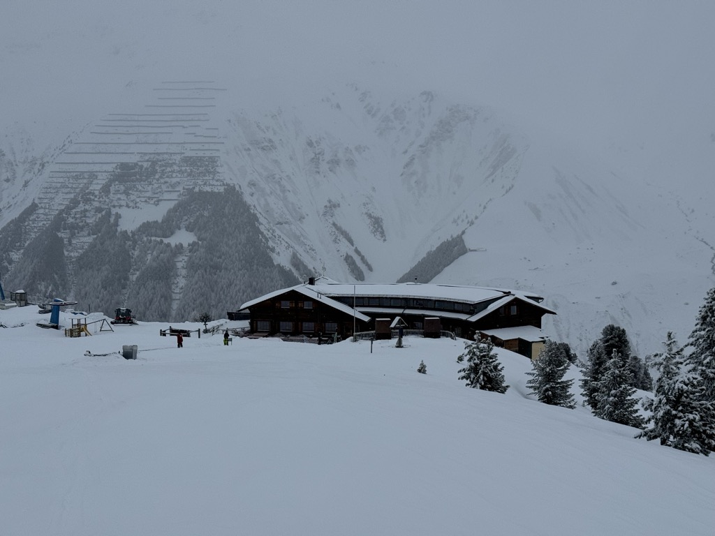
Sterzing, Pfitsch und FreienfeldBaita Maseben
13.4 km away, in Curon Venosta/Graun im Vinschgau
A mountain house at Maseben above Melago, in the Langtaufers valley of the comune of Curon Venosta, reached by the small lift from the valley road.
Malga di Melago
14.2 km away, in Curon Venosta/Graun im Vinschgau
A dairy hut at the head of the Langtaufers valley above Melago, the last stop before the glaciers of the Weisskugel.
Sterzing, Pfitsch und Freienfeld
Nothing of this kind in Malles Venosta/Mals.
Routes
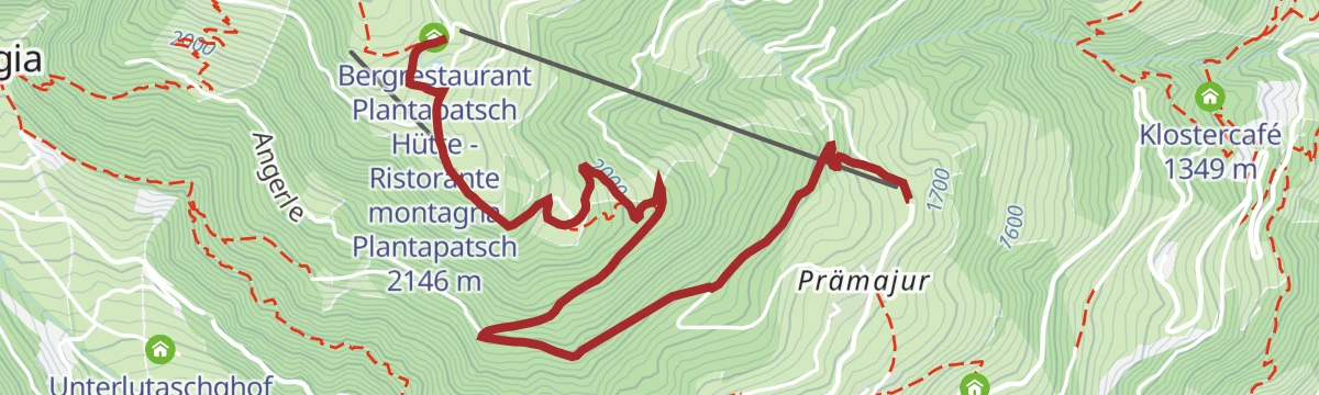
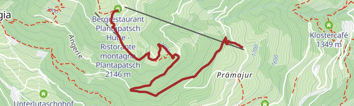
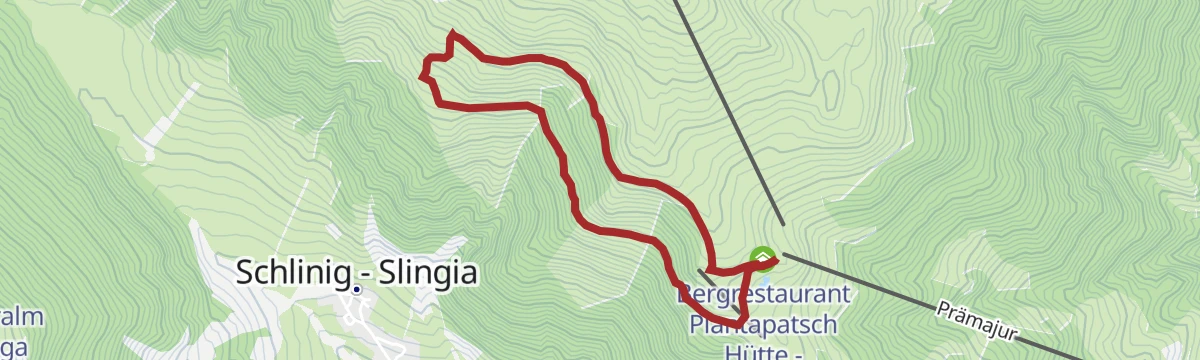
Escursione familiare Watles
A family walk on the Watles adventure mountain above Malles, starting from the hut at the lift top.
- 3.9 km
- Distance
- 140 m
- Ascent
- 1 h 16 min
- Duration
- 27
- Check-ins
 Bergrestaurant Plantapatsch Hütte - Ristorante montagna Plantapatsch 2 146 m
 Spielesee Watles - Lago dei Giochi sul Vatles 2 122 m
Open route Sterzing, Pfitsch und FreienfeldTour panoramico delle malghe
A high traverse of the alpine dairies from the Slingia valley, over the Plantapatsch hut on the Watles to the Sesvenna hut.
- 14.2 km
- Distance
- 654 m
- Ascent
- 4 h 58 min
- Duration
- 90
- Check-ins
- Schliniger Alm - Malga Slingia 1 872 m
- Bergrestaurant Plantapatsch Hütte - Ristorante montagna Plantapatsch 2 146 m
- Sesvenna-Hütte - Rifugio Sesvenna 2 258 m
- Spielesee Watles - Lago dei Giochi sul Vatles 2 122 m
- Pforzheimersee - Laghetto del Rifugio Rasass 2 254 m
- Pforzheimer Hütte - Rifugio Rasass 2 256 m
- +2
Open route Sterzing, Pfitsch und FreienfeldGiro Rasass
A long round from Slingia up to Piz Rasaß and over the Vermungkopf, high on the ridge between the Val Venosta and the Engadine.
- 16.8 km
- Distance
- 1 313 m
- Ascent
- 8 h 31 min
- Duration
- 76
- Check-ins
 Piz Rasaß 2 941 m
- Vermungkopf 2 872 m
- Schliniger Alm - Malga Slingia 1 872 m
- Sesvenna-Hütte - Rifugio Sesvenna 2 258 m
- Pforzheimersee - Laghetto del Rifugio Rasass 2 254 m
- Pforzheimer Hütte - Rifugio Rasass 2 256 m
- +3
Open route Sterzing, Pfitsch und FreienfeldSki alpinismo Watleskreuz
A short ski tour on easy ground to the summit cross of the Watles, above the Prämajur slopes at the head of the Val Venosta.
- 2.3 km
- Distance
- 410 m
- Ascent
- 0 m
- Descent
- 1 h 10 min
- Duration
- 36
- Check-ins
- Watles - Monte Vatles 2 555 m
- Bergrestaurant Plantapatsch Hütte - Ristorante montagna Plantapatsch 2 146 m
- Spielesee Watles - Lago dei Giochi sul Vatles 2 122 m
Open route Sterzing, Pfitsch und FreienfeldSki alpinismo al Piz Sesvenna
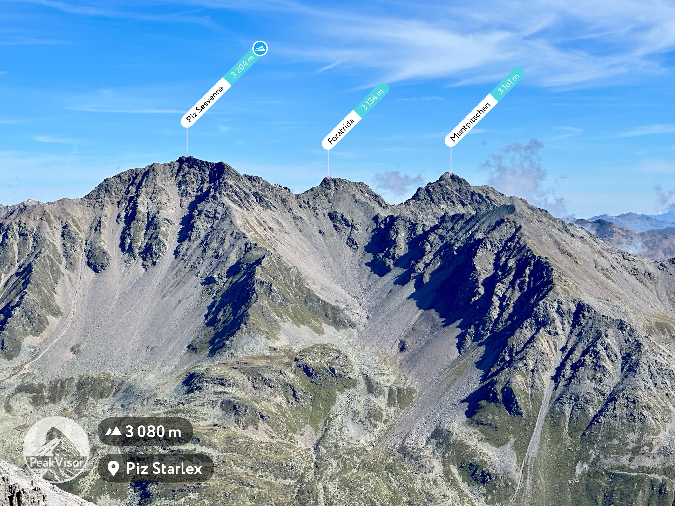
A ski tour to the Piz Sesvenna on the Swiss border, one of the staples of the upper Val Venosta, holding dry snow well into spring.
- 10.2 km
- Distance
- 1 543 m
- Ascent
- 81 m
- Descent
- 4 h 35 min
- Duration
- 68
- Check-ins
- Piz Sesvenna 3 204 m
- Foratrida 3 134 m
- Schliniger Alm - Malga Slingia 1 872 m
- Sesvenna-Hütte - Rifugio Sesvenna 2 258 m
- Pforzheimersee - Laghetto del Rifugio Rasass 2 254 m
- Pforzheimer Hütte - Rifugio Rasass 2 256 m
- +3
Open route Sterzing, Pfitsch und FreienfeldLa pista ciclabile dell’Adige: da Marlengo a Malles
The Adige cycle path up the Vinschgau from Marlengo to Mals, past Kastelbell and the Quellensee.
- 63.4 km
- Distance
- 763 m
- Ascent
- 6 h 6 min
- Duration
- 73
- Check-ins
- Rifugio 375 m
- Quellensee 655 m
- Informationsbüro Kastelbell - Tschars - Associazione turistica di Castelbello - Ciardes 584 m
- Moser's Speckhäusl 626 m
- Tourismusverein Marling 363 m
- Bar Seilbahn 633 m
- +4
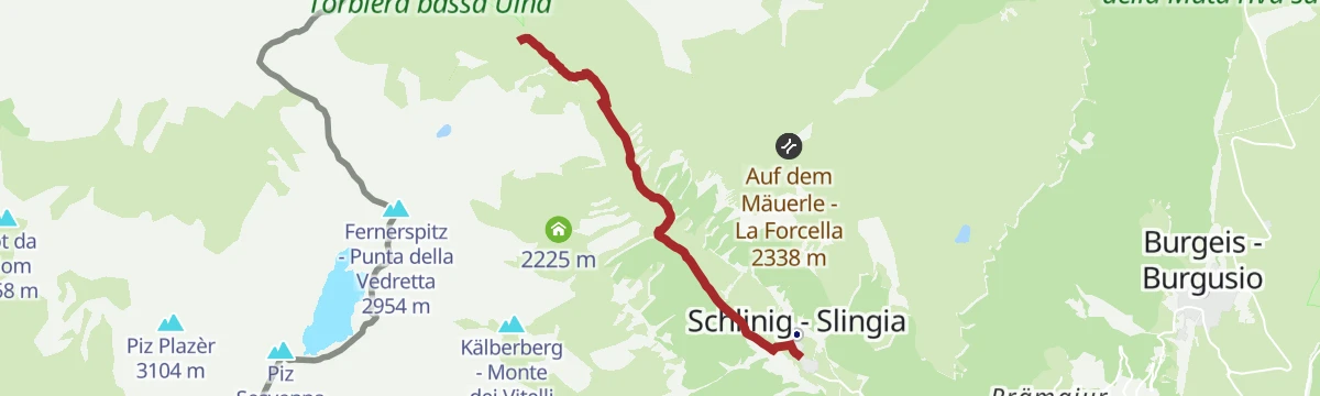
Open route Sterzing, Pfitsch und FreienfeldEscursione invernale alla Malga di Slingia
An easy winter walk from Slingia up to the Schliniger Alm for a meal, facing the Sesvenna pass at the head of the valley.
- 2.4 km
- Distance
- 141 m
- Ascent
- 47 min
- Duration
- 21
- Check-ins
Open route Sterzing, Pfitsch und Freienfeld360° Alta Venosta: Slingia - Prämajur (stazione a valle del Watles)
A stage of the 360° Upper Venosta circuit from Slingia past the falls below the Sesvenna hut, over the Plantapatsch station to Prämajur.
- 14.5 km
- Distance
- 635 m
- Ascent
- 4 h 59 min
- Duration
- 76
- Check-ins
- Schliniger Alm - Malga Slingia 1 872 m
- Sesvenna-Hütte - Rifugio Sesvenna 2 258 m
- Pforzheimersee - Laghetto del Rifugio Rasass 2 254 m
- Höferalm - Malga Höfer 2 039 m
- Pforzheimer Hütte - Rifugio Rasass 2 256 m
- Innere Alm - Malga di dentro 1 928 m
- +2
Open route Sterzing, Pfitsch und FreienfeldEscursione a lunga distanza 4a tappa: Rifugio Sesvenna - Malles
A long descent from the Sesvenna hut through small mountain villages to Malles, the Romanesque market town of the upper Val Venosta.
- 17.1 km
- Distance
- 101 m
- Ascent
- 5 h 21 min
- Duration
- 72
- Check-ins
- Schliniger Alm - Malga Slingia 1 872 m
- Sesvenna-Hütte - Rifugio Sesvenna 2 258 m
- Pforzheimersee - Laghetto del Rifugio Rasass 2 254 m
- Pforzheimer Hütte - Rifugio Rasass 2 256 m
- Innere Alm - Malga di dentro 1 928 m
- Informationsbüro Burgeis 1 228 m
- +4
Open route Sterzing, Pfitsch und FreienfeldSki alpinismo Upikopf
One of the gentler ski tours in the Val di Mazia, up to the Upikopf, though the final slope collects wind-drifted snow.
- 6.3 km
- Distance
- 1 414 m
- Ascent
- 94 m
- Descent
- 3 h 50 min
- Duration
- 32
- Check-ins
Open route Sterzing, Pfitsch und FreienfeldCiclabile dell' Adige Via Claudia Augusta - tappa Rablà-Resia
A long stage up the Vinschgau from Rablà to the Resia pass, climbing steadily beside the Adige on the Via Claudia Augusta route.
- 75.7 km
- Distance
- 1 109 m
- Ascent
- 7 h 25 min
- Duration
- 71
- Check-ins
- Roby Keller 1 479 m
- Moser's Speckhäusl 626 m
- Bar Seilbahn 633 m
- Radtreff Fischteich Brugg - Punto d'incontro per ciclisti Laghetto di pesca Brugg 817 m
- Informationsbüro Burgeis 1 228 m
- Zeress 1 454 m
- +8
Open route Sterzing, Pfitsch und FreienfeldEscursione malghe/rifugi malga di Slingia
A relaxed family walk through alpine meadows to the Schliniger Alm, with play stations along the way and the Sesvenna peaks ahead.
- 4.8 km
- Distance
- 133 m
- Ascent
- 1 h 27 min
- Duration
- 21
- Check-ins
Open route Sterzing, Pfitsch und FreienfeldEscursione malghe/rifugi Sesvennahütte
An approach to the Sesvennahütte from Slingia, the alternative to the path down from the top station of the Watles chairlift.
- 5.2 km
- Distance
- 546 m
- Ascent
- 2 h 19 min
- Duration
- 61
- Check-ins
- Schliniger Alm - Malga Slingia 1 872 m
- Sesvenna-Hütte - Rifugio Sesvenna 2 258 m
- Pforzheimersee - Laghetto del Rifugio Rasass 2 254 m
- Pforzheimer Hütte - Rifugio Rasass 2 256 m
- Innere Alm - Malga di dentro 1 928 m
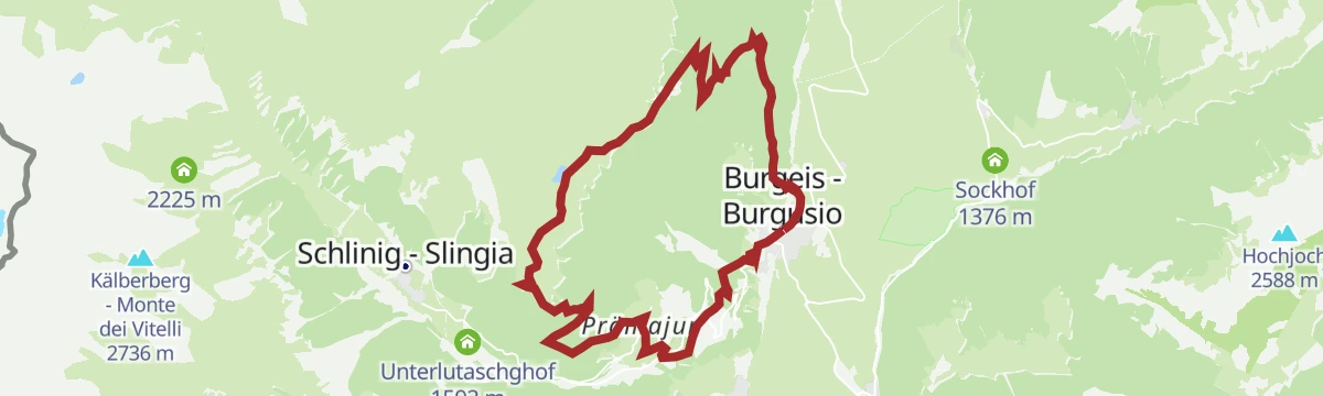
Open route Sterzing, Pfitsch und FreienfeldPercorso circolare al lago Pfaffensee
A circuit on the Watles to the Pfaffensee, a small lake below the ridge, with the return by way of Prämajur.
- 15.8 km
- Distance
- 1 030 m
- Ascent
- 6 h 58 min
- Duration
- 69
- Check-ins
- DAS GERSTL Alpine Retreat 1 555 m
- Bergrestaurant Plantapatsch Hütte - Ristorante montagna Plantapatsch 2 146 m
- Spielesee Watles - Lago dei Giochi sul Vatles 2 122 m
- Höferalm - Malga Höfer 2 039 m
- Höferalm - Malga Höfer 2 040 m
- Großer Pfaffensee - Grande Lago del Prete 2 223 m
- +6
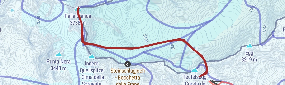
Open route Sterzing, Pfitsch und FreienfeldSki alpinismo da Maso Corto alla Palla Bianca
A long ski tour from Maso Corto up the Val delle Frane and its glacier to the Palla Bianca; the height gain makes it hard work, and March to May is best.
- 8.2 km
- Distance
- 1 079 m
- Ascent
- 1 090 m
- Descent
- 3 h 49 min
- Duration
- 14
- Check-ins
Open route SchnalstalCiclabile dell' Adige Via Claudia Augusta
A long stretch of the cycle route that follows the old Roman road along the Adige, running down the valley past Algund and Merano.
- 79.1 km
- Distance
- 1 295 m
- Ascent
- 7 h 49 min
- Duration
- 68
- Check-ins
- Roby Keller 1 479 m
- Moser's Speckhäusl 626 m
- Tourismusbüro Algund 351 m
- Bar Seilbahn 633 m
- Radtreff Fischteich Brugg - Punto d'incontro per ciclisti Laghetto di pesca Brugg 817 m
- Informationsbüro Burgeis 1 228 m
- +9
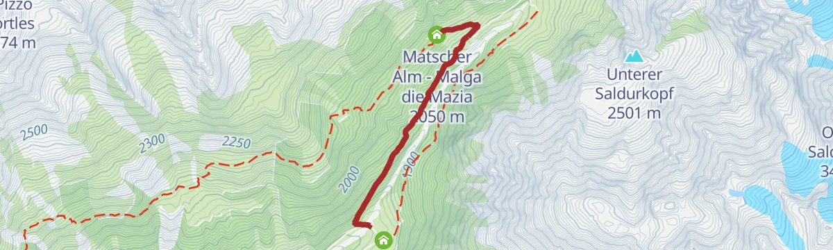
Open route Sterzing, Pfitsch und FreienfeldEscursione invernale alla malga di mazia
A short winter walk on a packed track to the Matscher Alm in the Val di Mazia, suited to families.
- 2.2 km
- Distance
- 221 m
- Ascent
- 57 min
- Duration
- 5
- Check-ins
Open route Sterzing, Pfitsch und FreienfeldTour alla cima Watles
A round from the Plantapatsch hut to the summit cross of the Watles, returning by way of the Pfaffensee.
- 7.4 km
- Distance
- 442 m
- Ascent
- 3 h 4 min
- Duration
- 41
- Check-ins
- Watles - Monte Vatles 2 555 m
- Bergrestaurant Plantapatsch Hütte - Ristorante montagna Plantapatsch 2 146 m
- Spielesee Watles - Lago dei Giochi sul Vatles 2 122 m
- Großer Pfaffensee - Grande Lago del Prete 2 223 m
- Kleiner Pfaffensee - Piccolo Lago del Prete 2 215 m
- Kalte Seelein 2 307 m
- +1
Open route Sterzing, Pfitsch und FreienfeldEscursione Gola d'Uina
A crossing on the Sesvenna high route to the Uina gorge, where a ledge cut into the cliff between 1908 and 1910 carries the old smugglers' path.
- 18.9 km
- Distance
- 803 m
- Ascent
- 8 h 1 min
- Duration
- 67
- Check-ins
- Bergrestaurant Plantapatsch Hütte - Ristorante montagna Plantapatsch 2 146 m
- Sesvenna-Hütte - Rifugio Sesvenna 2 258 m
- Spielesee Watles - Lago dei Giochi sul Vatles 2 122 m
- Pforzheimersee - Laghetto del Rifugio Rasass 2 254 m
- Pforzheimer Hütte - Rifugio Rasass 2 256 m
 Passo di Slinga - Schlinig Pass 2 309 m
- +2
Open route Sterzing, Pfitsch und FreienfeldSki alpinismo Pleresspitze
A spring ski tour in the Val di Mazia to the Cima di Pleres, on even slopes, with the Palla Bianca in view to the north-east.
- 5.6 km
- Distance
- 1 364 m
- Ascent
- 0 m
- Descent
- 3 h 36 min
- Duration
- 9
- Check-ins
Open route Sterzing, Pfitsch und FreienfeldLa pista ciclabile dell’Adige: da Malles a Marlengo
A long, mostly downhill run through the Vinschgau beside the young Etsch, passing Latsch and the anglers' cyclist stop at Brugg on the way to Meran.
- 60.9 km
- Distance
- 53 m
- Ascent
- 5 h 40 min
- Duration
- 51
- Check-ins
- Rifugio 375 m
- Moser's Speckhäusl 626 m
- Bar Seilbahn 633 m
- Radtreff Fischteich Brugg - Punto d'incontro per ciclisti Laghetto di pesca Brugg 817 m
- Laterne 516 m
- Tourismusverein Latsch-Martell - Associazione Turistica Laces-Martello 641 m
- +4
Open route Sterzing, Pfitsch und FreienfeldEscursione malghe/rifugi malga di mazia
An easy family walk in the Val di Mazia to the Matscher Alm, on the southern slopes below the Cima di Pleres.
- 2.2 km
- Distance
- 226 m
- Ascent
- 58 min
- Duration
- 5
- Check-ins
Open route Sterzing, Pfitsch und FreienfeldEscursione invernale alle baite Plantapatsch
A winter climb from the valley station of the Watles by way of the Höfer Alm to the Plantapatsch huts.
- 3.7 km
- Distance
- 413 m
- Ascent
- 1 h 43 min
- Duration
- 40
- Check-ins
- Bergrestaurant Plantapatsch Hütte - Ristorante montagna Plantapatsch 2 146 m
- Spielesee Watles - Lago dei Giochi sul Vatles 2 122 m
- Höferalm - Malga Höfer 2 039 m
- Höferalm - Malga Höfer 2 040 m
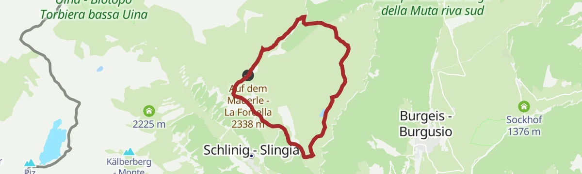
Open route Sterzing, Pfitsch und FreienfeldTour del monte Watles
A full day's circuit around the Watles, with views over the upper Val Venosta basin, the Resia lakes plateau and the Slingia valley.
- 18.6 km
- Distance
- 767 m
- Ascent
- 6 h 14 min
- Duration
- 50
- Check-ins
- Bergrestaurant Plantapatsch Hütte - Ristorante montagna Plantapatsch 2 146 m
- Spielesee Watles - Lago dei Giochi sul Vatles 2 122 m
- Höferalm - Malga Höfer 2 039 m
- Höferalm - Malga Höfer 2 040 m
- Brugger Alm - Malga Brugger 1 941 m
- Auf dem Mäuerle - La Forcella 2 338 m
- +3
Open route Sterzing, Pfitsch und FreienfeldSalita alla Cima Arunda in inverno
A sunny ski ascent of the Arundakopf on broad, quiet slopes ringed by the highest peaks of the Val Venosta.
- 9.6 km
- Distance
- 1 505 m
- Ascent
- 0 m
- Descent
- 4 h 23 min
- Duration
- 3
- Check-ins
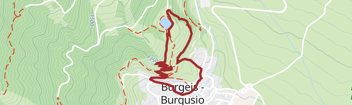
Open route Sterzing, Pfitsch und FreienfeldEscursione al Lago Bergsee da Burgusio
A short circular walk above Burgusio to the Bergsee, a small lake on the wooded slope below the Watles.
- 2.3 km
- Distance
- 132 m
- Ascent
- 55 min
- Duration
- 4
- Check-ins
- Informationsbüro Burgeis 1 228 m
- Bergsee 1 358 m
Open route Sterzing, Pfitsch und FreienfeldEscursione malghe/rifugi Plantapatsch
A summer walk up to the Plantapatsch hut on the Watles, the family mountain above Prämajur.
- 3.5 km
- Distance
- 419 m
- Ascent
- 1 h 43 min
- Duration
- 40
- Check-ins
- Bergrestaurant Plantapatsch Hütte - Ristorante montagna Plantapatsch 2 146 m
- Spielesee Watles - Lago dei Giochi sul Vatles 2 122 m
- Höferalm - Malga Höfer 2 039 m
- Höferalm - Malga Höfer 2 040 m
Open route Sterzing, Pfitsch und FreienfeldGiro circolare ai laghi di Saldura
A demanding high circuit to the Saldura lakes, the highest lake plateau in South Tyrol, at the head of the Val di Mazia.
- 15.1 km
- Distance
- 1 211 m
- Ascent
- 7 h 48 min
- Duration
- 36
- Check-ins
- Almhotel Glieshof 1 829 m
- Inner-Glieshof 1 822 m
- Oberetteshütte - Rifugio Oberettes 2 677 m
- Oberetteshütte - Rifugio Oberettes 2 670 m
- Saldurseen 2 757 m
- Klein Tibet 3 020 m
Open route Sterzing, Pfitsch und FreienfeldEscursione a lunga distanza 6a tappa: Rifugio Oberettes - Malles
A stage from the Oberettes hut over the Tabernackel and the plateau nicknamed little Tibet, past the Saldur lakes and steeply down towards Malles.
- 8.9 km
- Distance
- 402 m
- Ascent
- 4 h 39 min
- Duration
- 36
- Check-ins
- Almhotel Glieshof 1 829 m
- Inner-Glieshof 1 822 m
- Oberetteshütte - Rifugio Oberettes 2 677 m
- Oberetteshütte - Rifugio Oberettes 2 670 m
- Saldurseen 2 757 m
- Klein Tibet 3 020 m
Open route Sterzing, Pfitsch und FreienfeldEscursione a lunga distanza 5a tappa: Malles/Mazia - Rifugio Oberettes
A stage from Mazia, the mountaineering village, up beside an irrigation channel and through larch wood, with the last two kilometres hard work to the Oberettes hut.
- 14.1 km
- Distance
- 1 105 m
- Ascent
- 5 h 5 min
- Duration
- 13
- Check-ins
- Oberetteshütte - Rifugio Oberettes 2 677 m
- Oberetteshütte - Rifugio Oberettes 2 670 m
- Rastifhof 1 711 m
Open route Sterzing, Pfitsch und FreienfeldTour panoramico Watles
A circular route on the Watles kept high for the views, taking in most of the upper Val Venosta along the way.
- 10.4 km
- Distance
- 542 m
- Ascent
- 3 h 55 min
- Duration
- 36
- Check-ins
- Bergrestaurant Plantapatsch Hütte - Ristorante montagna Plantapatsch 2 146 m
- Spielesee Watles - Lago dei Giochi sul Vatles 2 122 m
- Großer Pfaffensee - Grande Lago del Prete 2 223 m
- Auf dem Mäuerle - La Forcella 2 338 m
- Kleiner Pfaffensee - Piccolo Lago del Prete 2 215 m
- Chiesetta ricordo 7 alpini 2 084 m
- +2
Open route Sterzing, Pfitsch und Freienfeld360° Alta Venosta: Tubre in Val Monastero - Slingia
One of the hardest stages of the Alta Venosta circuit, crossing high ground to a viewing platform facing the Sesvenna group.
- 17.4 km
- Distance
- 1 433 m
- Ascent
- 8 h 16 min
- Duration
- 6
- Check-ins
- Tellajoch - Giogo di Tella 2 358 m
- Baustadlhof 1 380 m
- Hofschank Egghof 1 730 m
- Laatscher Alm - Malga di Laudes 2 041 m
- Kälberalm - Malga dei Vitelli 2 140 m
- Schleiser Alm - Malga di Clusio 2 076 m
Open route Sterzing, Pfitsch und FreienfeldEscursione malghe/rifugi Oberetteshütte
A climb from Mazia, one of the designated alpine villages, up to the Oberetteshütte high in the Saldura group.
- 6.2 km
- Distance
- 865 m
- Ascent
- 3 h 25 min
- Duration
- 31
- Check-ins
- Almhotel Glieshof 1 829 m
- Inner-Glieshof 1 822 m
- Oberetteshütte - Rifugio Oberettes 2 677 m
- Oberetteshütte - Rifugio Oberettes 2 670 m
Open route Sterzing, Pfitsch und Freienfeld360° Alta Venosta: Tubre in Val Monastero (Maso Egghof) - Slingia
The shortened eighth stage of the Alta Venosta circuit, over the Tella pass with its viewing platform, then down past the huts to Slingia.
- 14.4 km
- Distance
- 937 m
- Ascent
- 6 h 23 min
- Duration
- 5
- Check-ins
- Tellajoch - Giogo di Tella 2 358 m
- Hofschank Egghof 1 730 m
- Laatscher Alm - Malga di Laudes 2 041 m
- Kälberalm - Malga dei Vitelli 2 140 m
- Schleiser Alm - Malga di Clusio 2 076 m
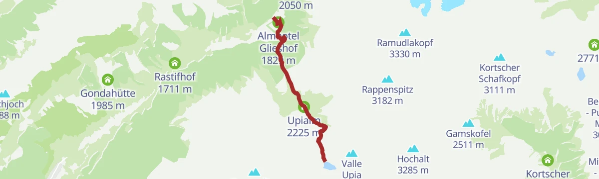
Open route Sterzing, Pfitsch und FreienfeldEscursione al lago Upi
A climb in the Val di Mazia to the Upisee, a small alpine lake at the foot of the Saldura peaks.
- 4.6 km
- Distance
- 760 m
- Ascent
- 2 h 55 min
- Duration
- 26
- Check-ins
Open route Sterzing, Pfitsch und FreienfeldEscursione l'Alta Via di Planol
A high route above Planol following an old irrigation channel along the mountainside, divided into three sections.
- 22.6 km
- Distance
- 1 106 m
- Ascent
- 8 h 9 min
- Duration
- 4
- Check-ins
Open route Sterzing, Pfitsch und FreienfeldEscursione malghe/rifugi Bruggeralm
A walk up the Zerzertal to the Bruggeralm, the dairy at the head of the side valley above Curon Venosta.
- 8.4 km
- Distance
- 460 m
- Ascent
- 2 h 54 min
- Duration
- 20
- Check-ins
- Roby Keller 1 479 m
- Brugger Alm - Malga Brugger 1 941 m
- Fauler See 1 567 m
- St.Martin im Zerzertal - San Martino in Valle di Serres 1 787 m
- Heustadel 1 677 m
Open route Sterzing, Pfitsch und FreienfeldAlta Via Val Venosta
A stage of the 108 km Venosta high route, which runs from Stava to the source of the Adige at the Resia pass on old irrigation and farm paths.
- 19.8 km
- Distance
- 659 m
- Ascent
- 6 h 14 min
- Duration
- 2
- Check-ins
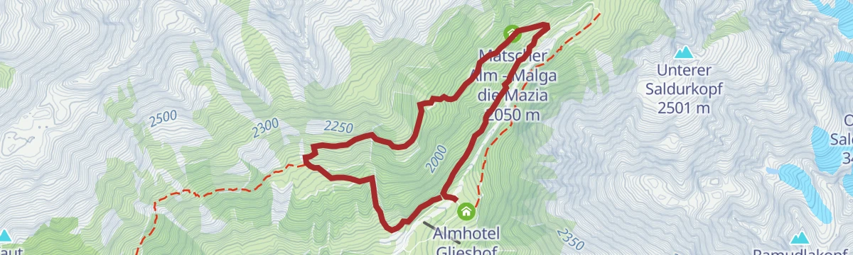
Open route Sterzing, Pfitsch und FreienfeldSentiero circolare nella Val di Mazia
A loop from below the Glieshof in the Val di Mazia, up a forest track with a steep last pitch to the Matscher Alm.
- 6.5 km
- Distance
- 365 m
- Ascent
- 2 h 35 min
- Duration
- 14
- Check-ins
Open route Sterzing, Pfitsch und Freienfeld360° Alta Venosta: San Valentino alla Muta - Planol
The second stage of the 360° Upper Venosta circuit, from San Valentino alla Muta across to Planol, through small mountain villages.
- 10.6 km
- Distance
- 523 m
- Ascent
- 3 h 40 min
- Duration
- 12
- Check-ins
Open route Sterzing, Pfitsch und Freienfeld360° Alta Venosta: Prämajur - San Valentino alla Muta
The opening stage of the 360° Upper Venosta circuit, from Prämajur across to San Valentino alla Muta, with the Brugger Alm open on the way.
- 11.9 km
- Distance
- 409 m
- Ascent
- 4 h 2 min
- Duration
- 11
- Check-ins
Open route Sterzing, Pfitsch und FreienfeldAlla malga Brugger
A circular walk to the Brugger dairy in the quiet Zerzertal, where a small church stands beside it.
- 8.2 km
- Distance
- 470 m
- Ascent
- 3 h 18 min
- Duration
- 7
- Check-ins
- Brugger Alm - Malga Brugger 1 941 m
- Fauler See 1 567 m
- St.Martin im Zerzertal - San Martino in Valle di Serres 1 787 m
Open route Sterzing, Pfitsch und FreienfeldEscursione circolare alla malga di Planol
A varied circuit in the Planol valley, taking in the alpine dairy on the slopes above the village.
- 10.8 km
- Distance
- 603 m
- Ascent
- 4 h 14 min
- Duration
- 4
- Check-ins
Open route Sterzing, Pfitsch und Freienfeld360° Alta Venosta: Planol - Mazia
The fifth stage of the 360° Upper Venosta circuit, from Planol over the Malettes to Mazia, passing a four-metre swing above the valley.
- 12.2 km
- Distance
- 459 m
- Ascent
- 4 h
- Duration
- 3
- Check-ins
Open route Sterzing, Pfitsch und Freienfeld360° Alta Venosta: Glorenza - Tubre in Val Monastero
A stage from Glorenza, the smallest town in the Alps, west to Tubre on the Swiss border in the Val Monastero.
- 11.4 km
- Distance
- 514 m
- Ascent
- 3 h 38 min
- Duration
Open route Sterzing, Pfitsch und Freienfeld360° Alta Venosta: Mazia - Sluderno
A stage from Mazia, the first alpine village in South Tyrol, down to Sluderno, taking in cultural sites of the upper Val Venosta.
- 7.2 km
- Distance
- 165 m
- Ascent
- 2 h 53 min
- Duration
Open route Sterzing, Pfitsch und FreienfeldEscursione alla Kälberalm
A short, steep walk up to the Kälberalm, a small unstaffed dairy hut on the slopes above the Val Venosta.
- 2.0 km
- Distance
- 408 m
- Ascent
- 1 h 30 min
- Duration
Open route Sterzing, Pfitsch und FreienfeldGiro Seppele
A circular walk on the Seppelesteig above Slingia, through the spruce woods on the flank of the Watles.
- 7.9 km
- Distance
- 320 m
- Ascent
- 2 h 38 min
- Duration
Open route Sterzing, Pfitsch und Freienfeld
No routes of this kind in Malles Venosta/Mals yet.
The region's own picks
Featured route
Escursione familiare Watles
A family walk on the Watles adventure mountain above Malles, starting from the hut at the lift top.
Planning a trip to Malles Venosta/Mals?
Everything else Trentino-Alto Adige/Südtirol has, in one place


Take Malles Venosta/Mals with you into the mountains
Every route on this page with 3D terrain, GPX navigation and offline maps — including the valleys with no signal.
Data sources
- Official website: italia.it ↗
- Routes and highlights: Sterzing, Pfitsch und Freienfeld, Schnalstal
- Published as open data by the tourist boards named above.
- Region summary generated from the board's own material.
