

 Cable car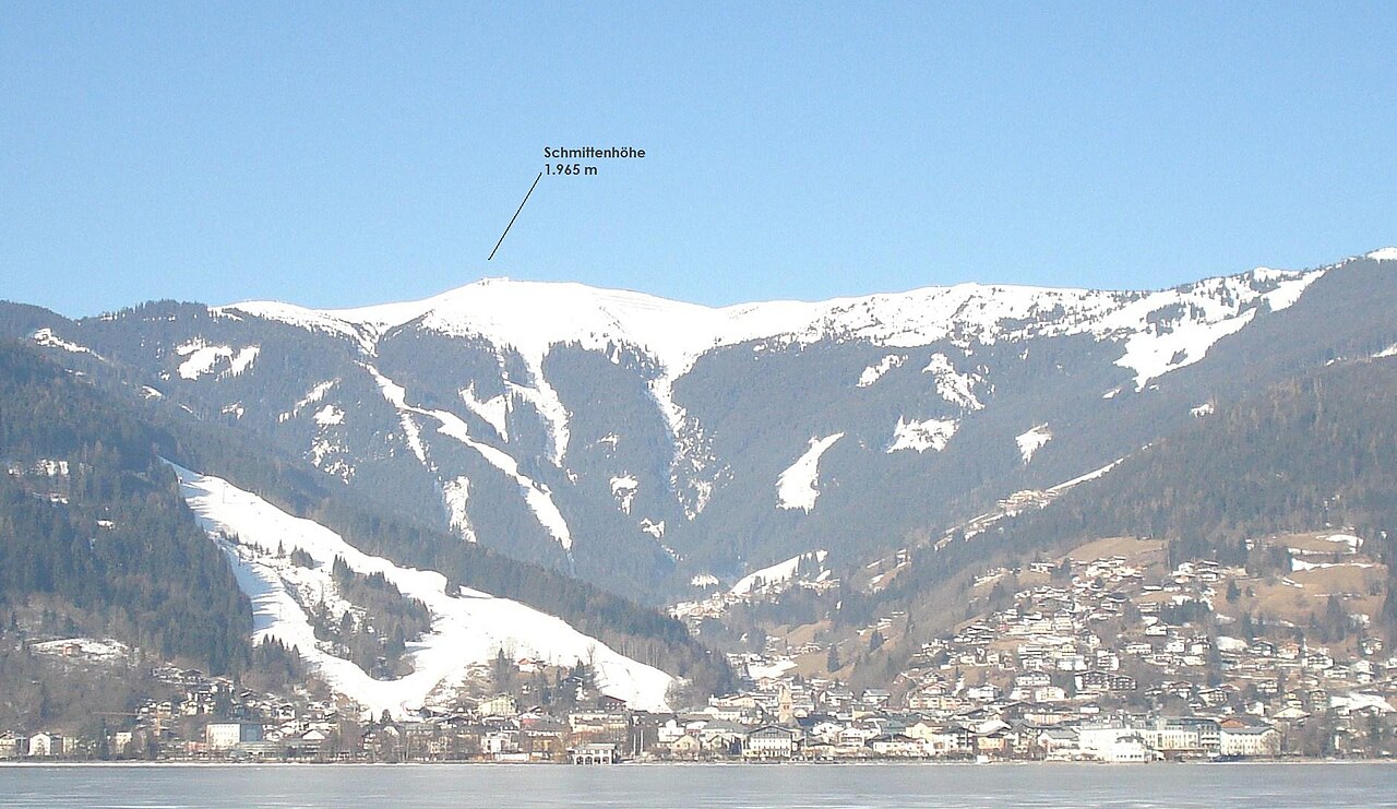
 Mountain hut


Curated by Zell am See-Kaprun Tourismus
Maishofen
Farming and commuter village on the flat valley floor between Zell am See and Saalfelden, at the turn-off up the Glemmtal toward Saalbach.
- 15Highlights
- 11Routes
- Featured summit · Hundstein
Highlights
All 15 from neighbouring places
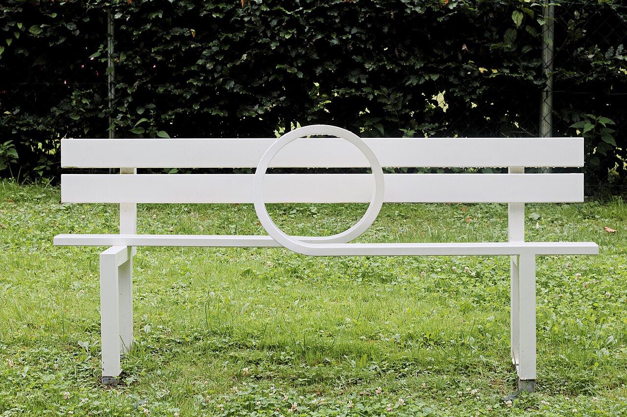
SkulpturPark
4.4 km away, in Zell am See
An open-air sculpture park at Thumersbach on Lake Zell, showing contemporary works in a quiet lakeside setting.
Hallenbad Zell am See
4.6 km away, in Zell am See
The indoor swimming pool in Zell am See's leisure centre, a year-round alternative to the lake beaches.
Eishalle Zell am See
4.6 km away, in Zell am See
The indoor ice rink in Zell am See, used for skating and ice hockey beside the Zeller See.
Virtual Reality Drop
4.8 km away, in Zell am See
A virtual reality attraction in Zell am See where visitors put on headsets for simulated drops and rides.
Museum Vogtturm Zell am See
4.9 km away, in Zell am See
A medieval tower on Zell am See's town square housing the local history museum, with displays on everyday life in the Pinzgau.
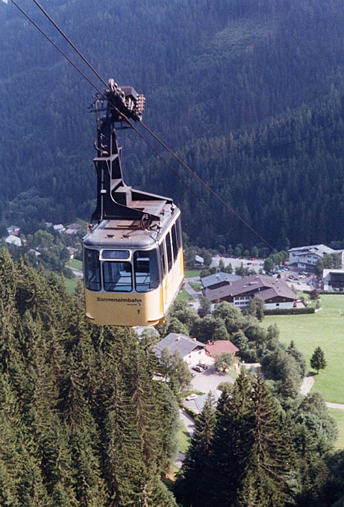
Sonnenalmbahn
4.9 km away, in Zell am See
A gondola from the Schmittenhöhebahn valley station up to the Sonnalm, the first stage toward the Sonnkogel trails above Zell am See.
Schmittenhöhe Zell am See
5 km away, in Zell am See
The 1,965 m mountain above Zell am See, reached by gondola and the start of the Pinzgauer Spaziergang ridge walk.
Sommer auf der Schmittenhöhe
5 km away, in Zell am See
Summer lift operation on the Schmittenhöhe, Zell am See's local mountain, giving access to panoramic walking trails high above the lake.
Schmittenhöhebahn
5 km away, in Zell am See
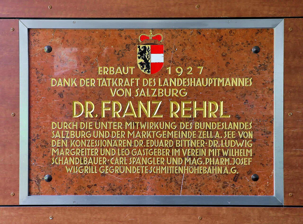
The cable car from Zell am See to the Schmittenhöhe summit area, successor to a lift line in service on this mountain since 1927.
Schifffahrt am Zeller See
5 km away, in Zell am See
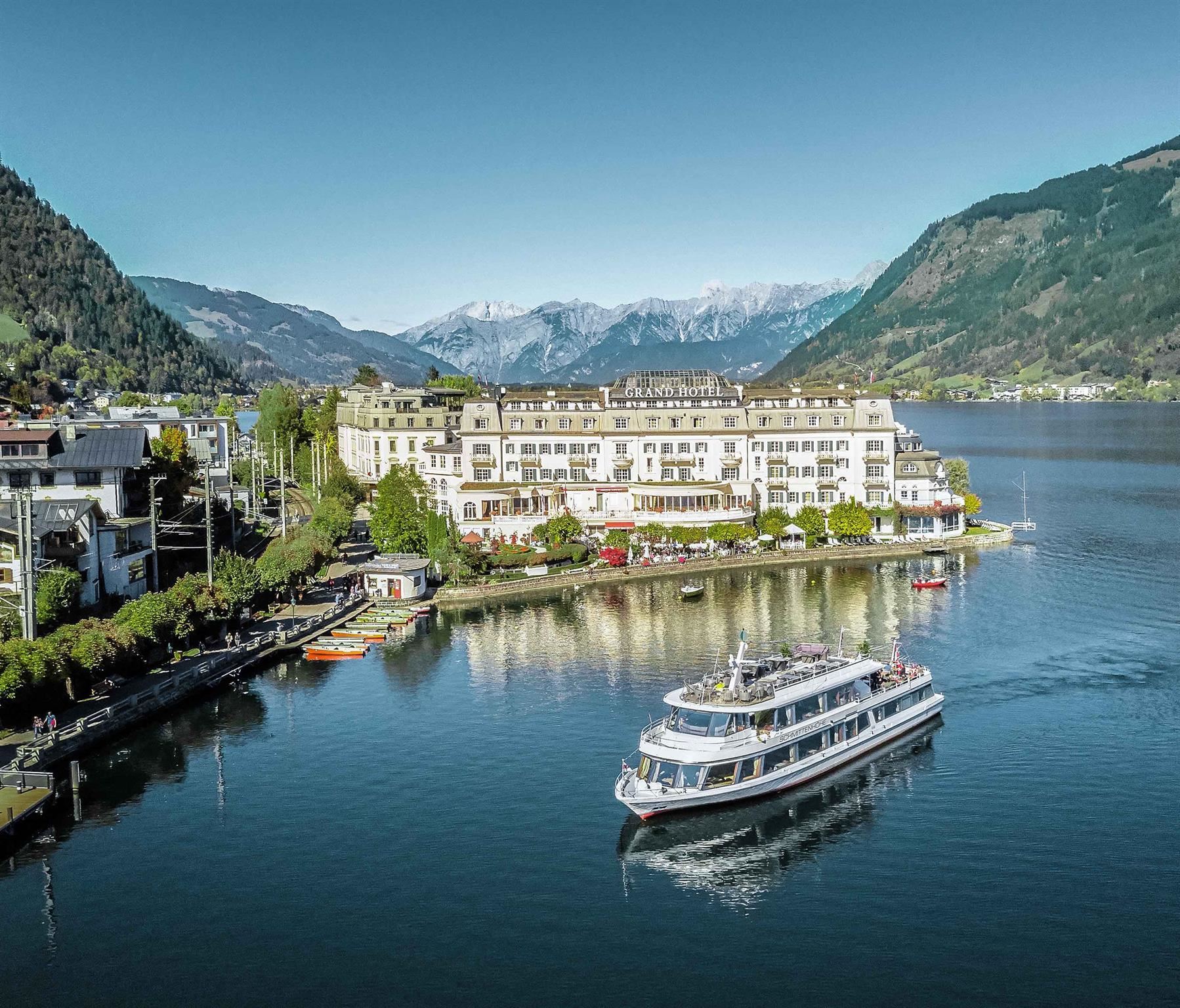
Passenger boat trips on the Zeller See at Zell am See, circling the lake between the Kitzbühel Alps and the glacier peaks to the south.
Dampfzug Zell am See
5.3 km away, in Zell am See
A steam train on the narrow-gauge Pinzgauer Lokalbahn, running from Zell am See up the Salzach valley towards Krimml.
Sommerrodelbahn am Biberg
6.1 km away, in Saalfelden am Steinernen Meer
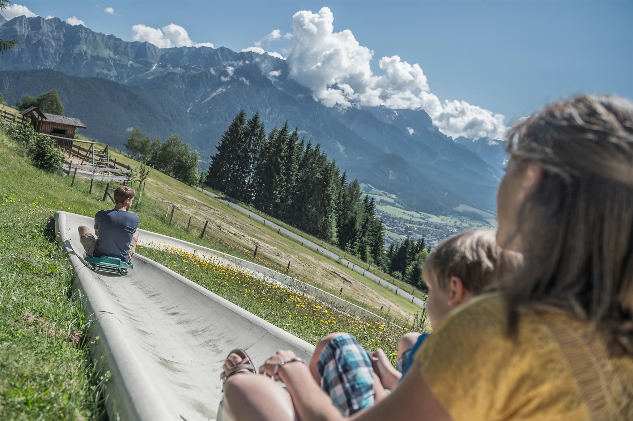
A summer toboggan run on the Biberg near Saalfelden, close to Maria Alm, descending through meadows and woods on a rail track.
Bergführer Zell am See-Kaprun
7.4 km away, in Zell am See
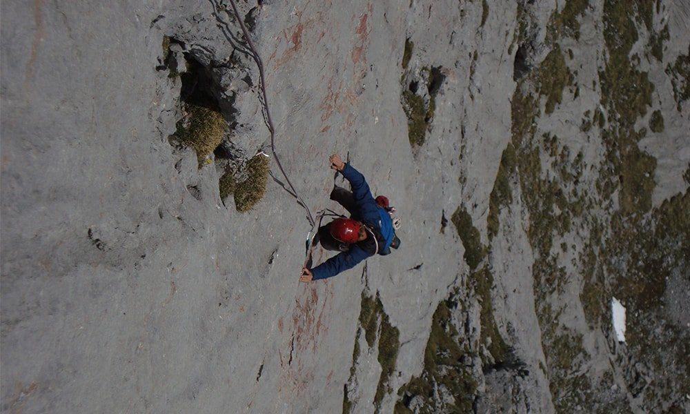
The mountain guide office for Zell am See-Kaprun, arranging guided climbs, via ferrata outings and glacier tours in the region.
Golfclub Gut Brandlhof
12.6 km away, in Saalfelden am Steinernen Meer
A golf course at the Brandlhof estate near Saalfelden, laid out along the Saalach river beneath the Steinernes Meer.
Arbesreitalm 1.100 m
7.1 km away, in Maria Alm am Steinernen Meer
An organic farm alm at 1,100 m above Maria Alm, selling its own produce directly and serving Austrian home cooking.
Nothing of this kind in Maishofen.
Routes
PINZGA HATSCHA Etappe 9 (vom Statzerhaus nach Maishofen)
Ninth stage of the Pinzgau long-distance route, descending from the Statzerhaus on the Hundstein past the Kammeregg Alm and Schloss Kammer to Maishofen.
- 14.8 km
- Distance
- 289 m
- Ascent
- 5 h 42 min
- Duration
- 66
- Check-ins
MTB Tour - Hundstein Runde (Tour 5)
A full-day circuit from Maria Alm over the ridge at 2,117 m and on across Langegg and the Ronachkopf, returning by way of the Enzianhütte.
- 42.7 km
- Distance
- 1 446 m
- Ascent
- 5 h 9 min
- Duration
- 86
- Check-ins
11 Rund um das Kitzbüheler Horn
A long road circuit right around the Horn, from the Glemmtal over the Pass Thurn and back through Kitzbühel on the way home.
- 115.9 km
- Distance
- 1 673 m
- Ascent
- 11 h 51 min
- Duration
- 56
- Check-ins
MTB Tour - Örgenbauer-Biberg Runde
A long forest-road round from Maria Alm past the Ritzensee, climbing to a mountain inn at 1,443 m by way of the Huggenberg and Unterbiberg alms.
- 36.1 km
- Distance
- 922 m
- Ascent
- 4 h 4 min
- Duration
- 35
- Check-ins
Pillerseerunde
A big road loop over Pass Grießen and Pass Strub, passing the Lamprechtshöhle in the Saalach valley and a lakeside stop at Blattl.
- 100.0 km
- Distance
- 1 191 m
- Ascent
- 9 h 59 min
- Duration
- 21
- Check-ins
Ironman - Rund um die Pinzgauer Grasberge
The Ironman bike loop round the Pinzgau grass mountains, out by Maria Alm and back along the Salzach.
- 63.8 km
- Distance
- 796 m
- Ascent
- 6 h 25 min
- Duration
- 20
- Check-ins
IRONMAN 70.3. WM-Radstrecke
The road racing circuit around Zell am See, running out to Bruck in the Salzach valley and over the Filzensattel before returning to the lake.
- 89.9 km
- Distance
- 1 247 m
- Ascent
- 9 h 9 min
- Duration
- 17
- Check-ins
Örgenbauernalm-Biberg Runde - Saalachtaler Panoramatour
A long round on forest roads above the Saalach valley, linking two alms at 1,320 and 1,440 m with a long descent to Maishofen.
- 40.1 km
- Distance
- 935 m
- Ascent
- 4 h 27 min
- Duration
- 12
- Check-ins
Dientner Runde + Rauriserhöhe
A long road circuit from Maria Alm over the Filzensattel to Bruck at the mouth of the Salzach valley, with a second big climb before the return.
- 72.7 km
- Distance
- 1 642 m
- Ascent
- 7 h 60 min
- Duration
- 16
- Check-ins
Radtour von Zell am See - Lofer
A valley ride from Zell am See north past Saalfelden to Lofer, by way of Sankt Martin and the Gasthaus at the Lamprechtshöhle.
- 42.4 km
- Distance
- 401 m
- Ascent
- 4 h 8 min
- Duration
- 6
- Check-ins
Radtour Gerlingrunde
A gentle valley loop from Maishofen down to the shore of the Zeller See, returning through the meadows of the WiesenKönigReich.
- 33.6 km
- Distance
- 264 m
- Ascent
- 3 h 14 min
- Duration
- 5
- Check-ins
No routes of this kind in Maishofen yet.
The region's own picks

Featured route
PINZGA HATSCHA Etappe 9 (vom Statzerhaus nach Maishofen)
Ninth stage of the Pinzgau long-distance route, descending from the Statzerhaus on the Hundstein past the Kammeregg Alm and Schloss Kammer to Maishofen.
Planning a trip to Maishofen?
Everything else Salzburg (state) has, in one place


Take Maishofen with you into the mountains
Every route on this page with 3D terrain, GPX navigation and offline maps — including the valleys with no signal.
Data sources
- Official website: saalfelden-leogang.com ↗
- Routes and highlights: Zell am See-Kaprun Tourismus, Hochkönig Tourismus, Nationalpark, Kitzbühel Tourismus
- Published as open data by the tourist boards named above.
- Region summary generated from the board's own material.
