
Curated by Visit Monterosa
Macugnaga
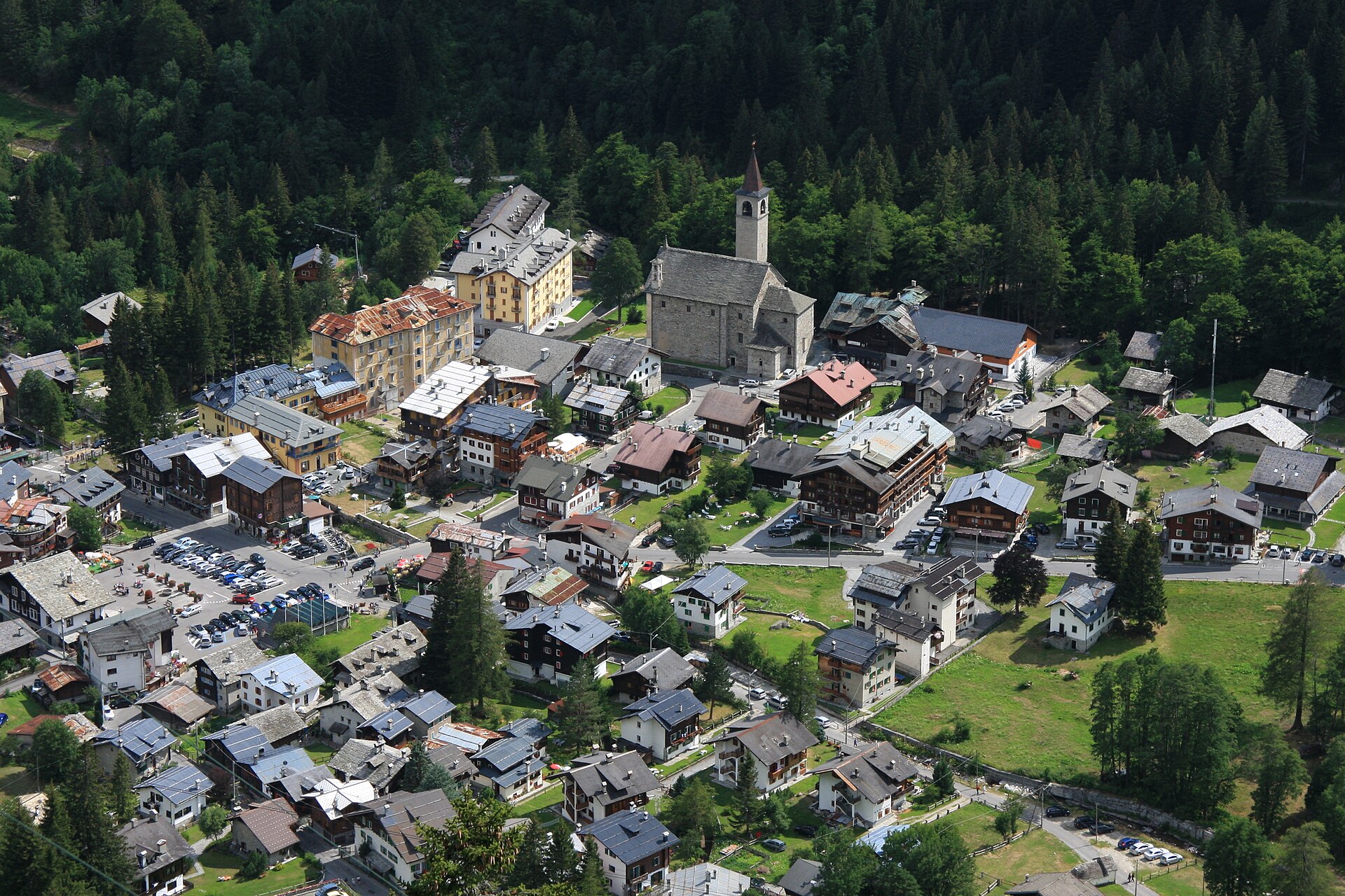
Walser village at the foot of the east face of Monte Rosa, the highest wall in the Alps, with museums recording its mining and smuggling past.
Photo: Grzegorz Jereczek from Gdańsk, Poland · CC BY-SA 2.0 licence
- 3Highlights
- 5Routes
Highlights
12 from neighbouring places
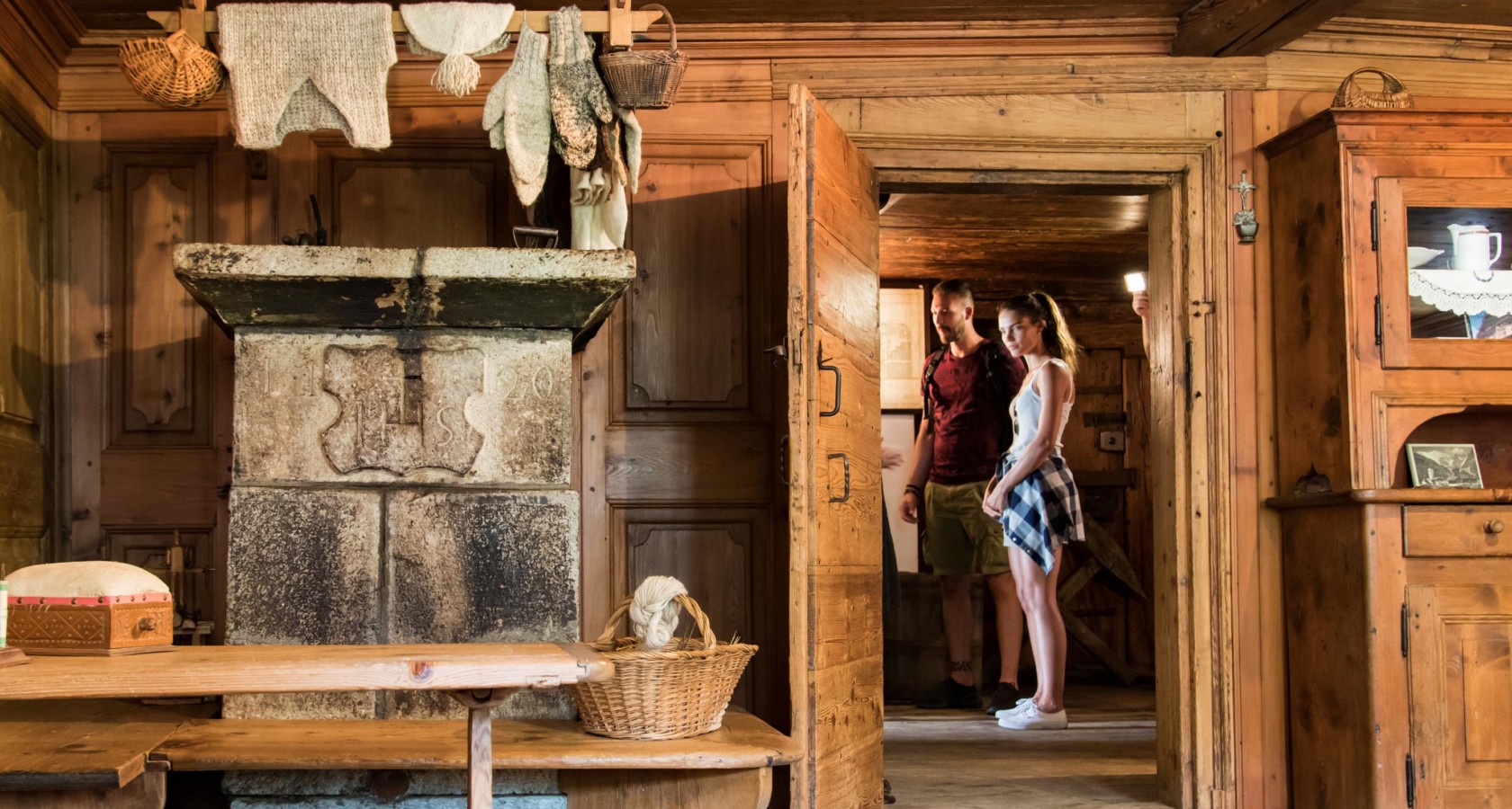
Museo Casa Walser di Macugnaga
A seventeenth-century Walser house at Macugnaga, furnished as its German-speaking settlers left it.
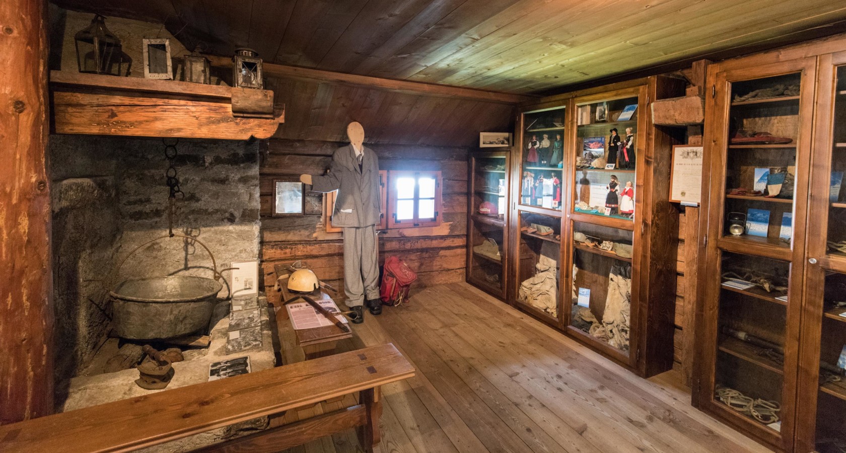
Museo della Montagna e del Contrabbando
A museum at Macugnaga on climbing Monte Rosa and on the smuggling that crossed its passes.
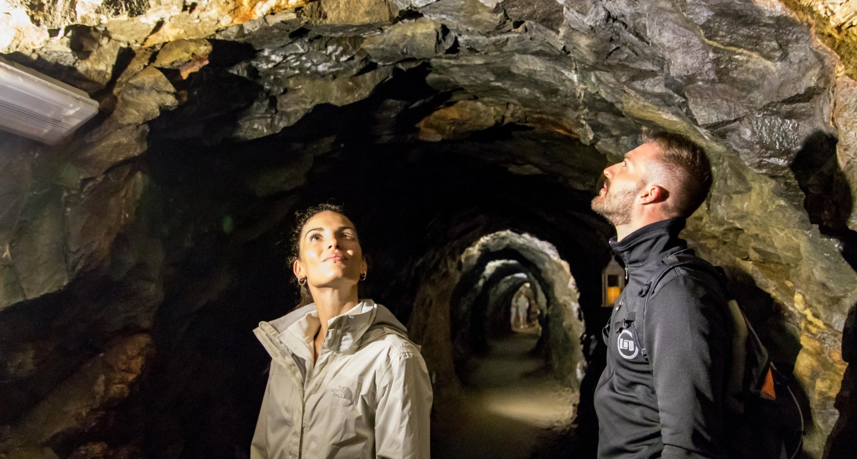
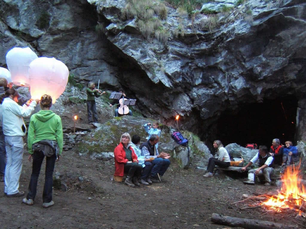
Miniera d’oro della Guia
A gold mine on the flank of Monte Rosa, worked into the twentieth century and now open underground.
RIFUGIO PASTORE
7.5 km away, in Alagna Valsesia
A hut on the Alpe Pile meadows at 1,575 m in the Alta Valsesia park, on an old Walser pasture below Monte Rosa.
Il panorama del Rosa dal rifugio Pastore
7.5 km away, in Alagna Valsesia
A twenty-minute walk from the Alpe Pile hut to the most open view of the Monte Rosa glaciers.
Il lago ed il rifugio dell’Alpe Campo
9.8 km away, in Alagna Valsesia
A pasture and small lake on the Alpe Campo terrace, the classic balcony view of the Monte Rosa east face.
GRAND HALTE
10 km away, in Alagna Valsesia
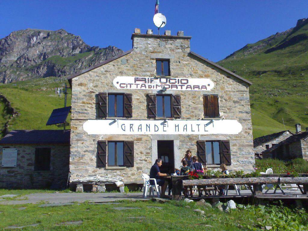
A hut in Alagna built at the turn of the twentieth century, now run as an inn with a kitchen of its own.
La Chiesa di Alagna
10.6 km away, in Alagna Valsesia
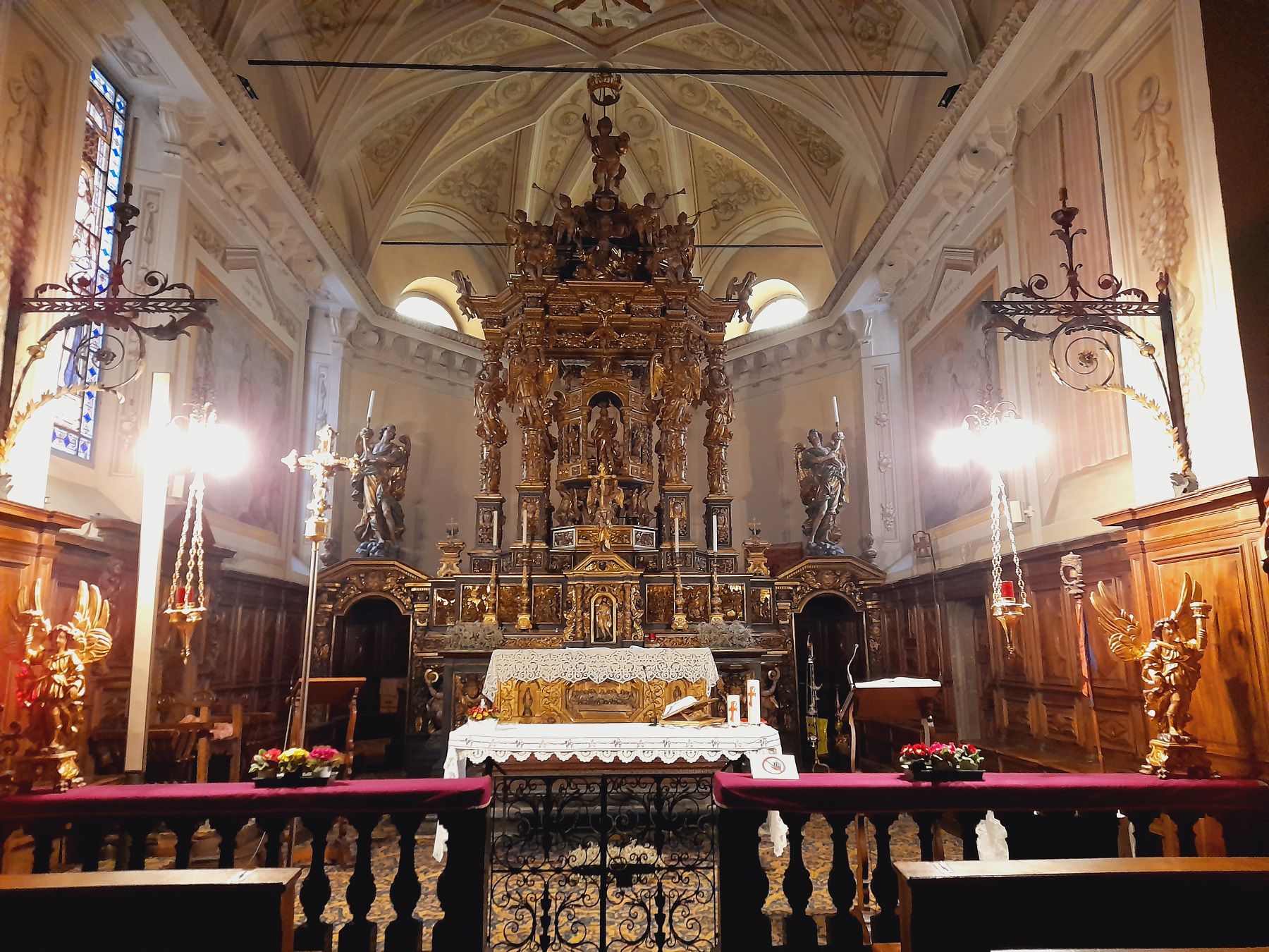
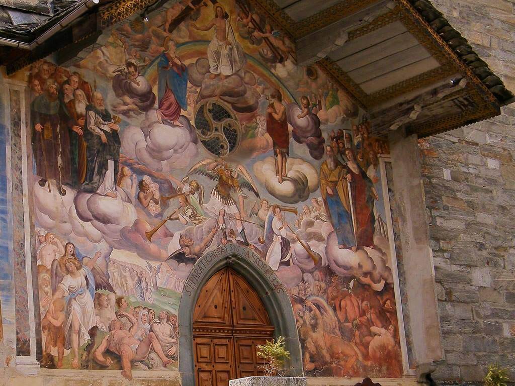
The parish church of San Giovanni Battista in the Cantro quarter of Alagna, its portico carrying nineteenth-century frescoes.
Baita Walser Reale
10.9 km away, in Alagna Valsesia
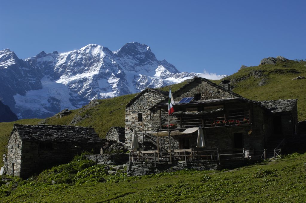
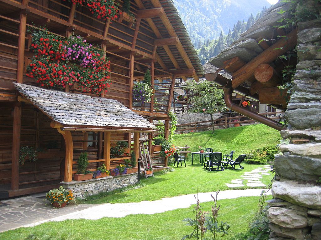
A Walser house of stone and timber above Alagna, rebuilt in the traditional way and run as a hut.
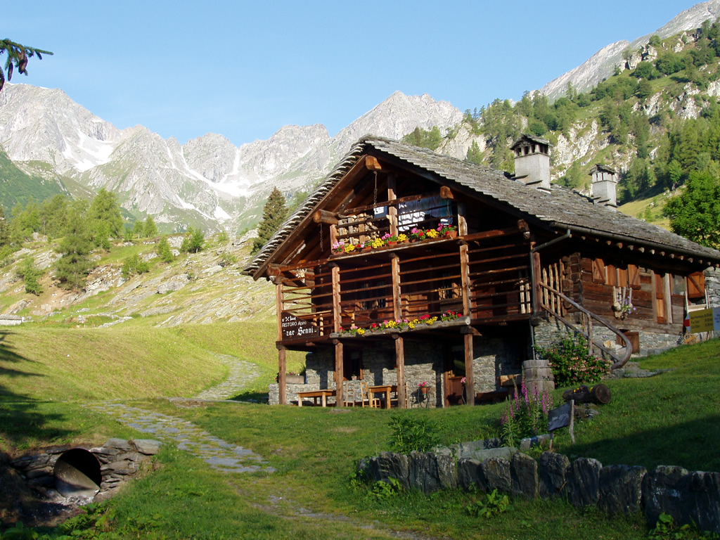
RIFUGIO ZAR SENNI
11.8 km away, in Alagna Valsesia
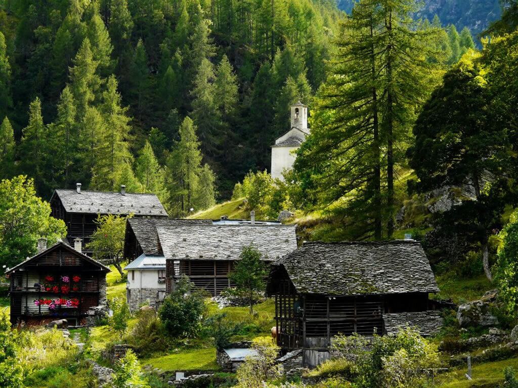
A hut in the Otro basin above Alagna, a hanging Walser valley of stone-and-timber hamlets.
L’assolata Val Vogna fino al lago de la Peccia
11.8 km away, in Alagna Valsesia
A gently graded path up the Val Vogna from Riva Valdobbia, an old Walser mule track leading to the Lago della Peccia.
Le Miniere di manganese
12.5 km away, in Alagna Valsesia
Manganese workings above Alagna, driven into the slope in the nineteenth century and open on guided visits.
La Chiesa di Riva Valdobbia
12.8 km away, in Alagna Valsesia
A church consecrated in 1326 at Riva Valdobbia, rebuilt after a flood of the Vogna torrent in 1640, with a painted facade.
Rifugio Capanna Gnifetti
9.8 km away, in Gressoney-La-Trinité
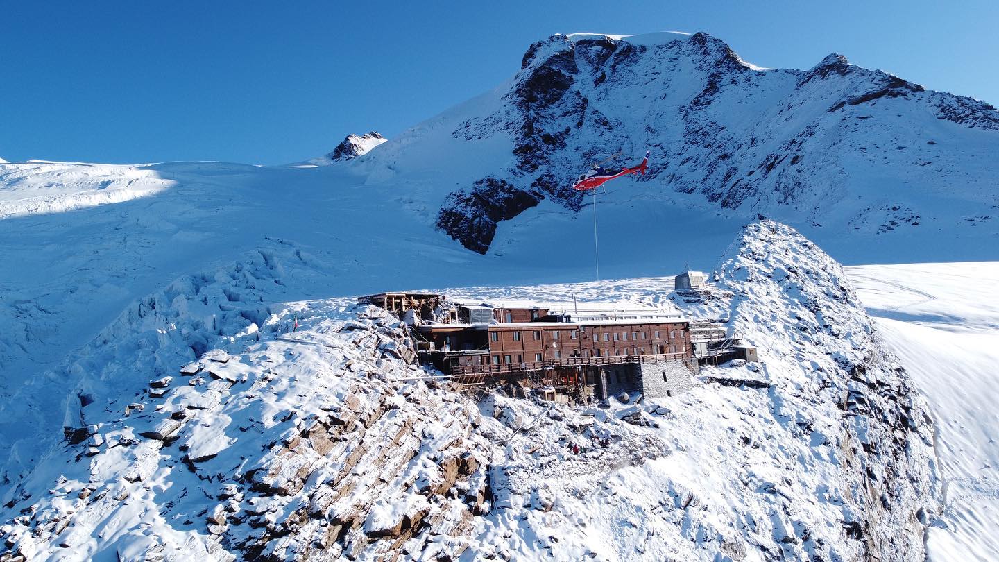
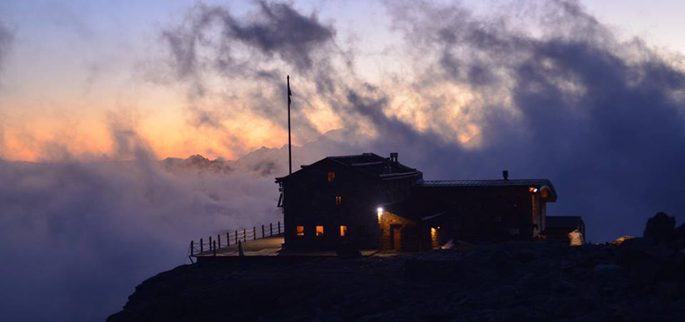
A hut on the Monte Rosa glaciers above Gressoney-La-Trinité, the usual overnight stop for the Punta Gnifetti climbs.
Rifugio Città di Mantova
10.2 km away, in Gressoney-La-Trinité
A guides' hut at 3,498 m on the Garstelet glacier above Gressoney, a staging post for the Monte Rosa four-thousanders.
 Historic site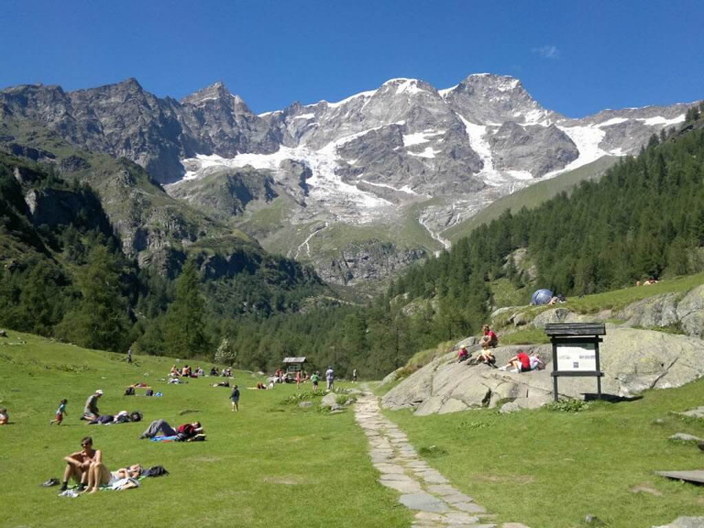
Nothing of this kind in Macugnaga.
Routes
15 from neighbouring places
PERCORSO SLOW TREK
A short slow-walking loop at Macugnaga, at the head of the Anzasca valley below Monte Rosa.
- 3.8 km
- Distance
- 140 m
- Ascent
- 1 h 14 min
- Duration
- 18
- Check-ins
Trekking
A long, high circuit above Macugnaga under the east wall of Monte Rosa.
- 26.9 km
- Distance
- 1 568 m
- Ascent
- 11 h 2 min
- Duration
- 81
- Check-ins
PERCORSO MTB: Macugnaga e il Lago delle Fate
A loop through the hamlets of Macugnaga below the east face of Monte Rosa, climbing to the Alpe Burki and the Lago delle Fate.
- 17.8 km
- Distance
- 516 m
- Ascent
- 2 h 4 min
- Duration
- 60
- Check-ins
Stra' Granda Tappa 3: Frazione Staffa
A stage of the Stra' Granda from the hamlet of Staffa in Macugnaga, climbing hard onto the high ground above the village.
- 7.3 km
- Distance
- 2 868 m
- Ascent
- 15 h 9 min
- Duration
- 38
- Check-ins
Stra' Granda Tappa 2: Frazione di Pontegrande
A long, punishing stage of the Valle Anzasca long-distance route below Monte Rosa, with nearly 2,900 metres of climbing, through the hamlet of Pontegrande.
- 18.1 km
- Distance
- 2 868 m
- Ascent
- 16 h 25 min
- Duration
- 1
- Check-ins
RIVA VALDOBBIA, Fraz. Ca’ di Janzo
14.1 km away, in Alagna Valsesia
A climb from Ca' di Janzo to Cima Mutta, the first top on the ridge that divides Val Vogna from Val d'Otro.
- 3.2 km
- Distance
- 804 m
- Ascent
- 2 h 53 min
- Duration
- 18
- Check-ins
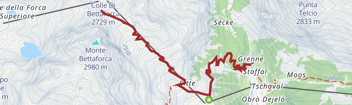
Col Bettaforca
14.9 km away, in Gressoney-La-Trinité
A climb from Stafal past Rifugio Jutz and Ristoro Sitten to the pass at 2,672 m at the head of the Gressoney valley.
- 10.9 km
- Distance
- 852 m
- Ascent
- 2 h 6 min
- Duration
- 88
- Check-ins
Rimasco
14.2 km away, in Boccioleto
A short, almost level walk on the valley floor in Alto Sermenza, passing the campsite by the small lake below the Alpe Campo slopes.
- 2.4 km
- Distance
- 21 m
- Ascent
- 1 h 23 min
- Duration
- 4
- Check-ins
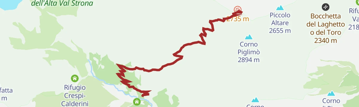
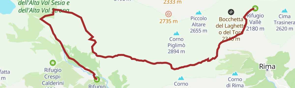
Grande Traversata della Valsesia: Tappa 8 Rifugio Vallè
5.7 km away, in Alto Sermenza
A short and very steep stage of the Valsesia traverse, ending at the Vallè hut above Alto Sermenza.
- 4.2 km
- Distance
- 2 607 m
- Ascent
- 13 h 29 min
- Duration
- 14
- Check-ins
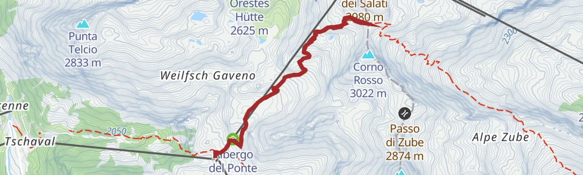
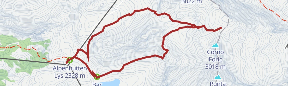
Staffal
10.4 km away, in Gressoney-La-Trinité
From the top station of the Gabiet gondola, a dirt track into the Vallone di Mos followed on waymark 6a, under the Stolemberg.
- 9.8 km
- Distance
- 612 m
- Ascent
- 5 h 24 min
- Duration
- 244
- Check-ins
 Stolemberg 3 202 m
 Rifugio Città di Mantova 3 498 m
- Alpenhutten Lys 2 328 m
 Lago Verde inferiore II 2 607 m
- Lago Verde inferiore 2 608 m
- Lago Verde superiore 2 609 m
- +3
Grande Traversata della Valsesia: Tappa 9 Rifugio Massero
6.1 km away, in Carcoforo
A stage of the Valsesia traverse ending at the Rifugio Massero above Carcoforo.
- 11.8 km
- Distance
- 2 245 m
- Ascent
- 12 h 34 min
- Duration
- 34
- Check-ins
Via Antronesca Tappa 3: Bivacco del Cingino
10.9 km away, in Antrona Schieranco
A stage of the Via Antronesca above Antrona Schieranco, ending at the Cingino bivouac beside the dam that ibex are known to climb.
- 12.9 km
- Distance
- 600 m
- Ascent
- 4 h 30 min
- Duration
- 9
- Check-ins
ALAGNA
7.4 km away, in Alagna Valsesia
A climb beginning at the Wold car park above Alagna, gaining height steadily towards the alps on the Monte Rosa flank.
- 7.2 km
- Distance
- 1 170 m
- Ascent
- 4 h 29 min
- Duration
- 4
- Check-ins
Col d’Olen
13.4 km away, in Gressoney-La-Trinité
A climb from the head of the Lys valley to the Col d'Olen, the pass over into the Valsesia above Alagna.
- 7.0 km
- Distance
- 560 m
- Ascent
- 3 h 36 min
- Duration
- 75
- Check-ins
Grande Traversata della Valsesia: Tappa 7 Rifugio Pastore all'Alpe Pile
7.5 km away, in Alagna Valsesia
A stage of the Valsesia traverse finishing at the Pastore hut on the Alpe Pile, under the east side of Monte Rosa.
- 13.8 km
- Distance
- 2 485 m
- Ascent
- 14 h
- Duration
- 71
- Check-ins
Passo Zube
13.4 km away, in Gressoney-La-Trinité
A climb from Gressoney-La-Trinité to the Passo Zube, on the ridge closing the head of the Lys valley.
- 6.8 km
- Distance
- 560 m
- Ascent
- 3 h 35 min
- Duration
- 134
- Check-ins
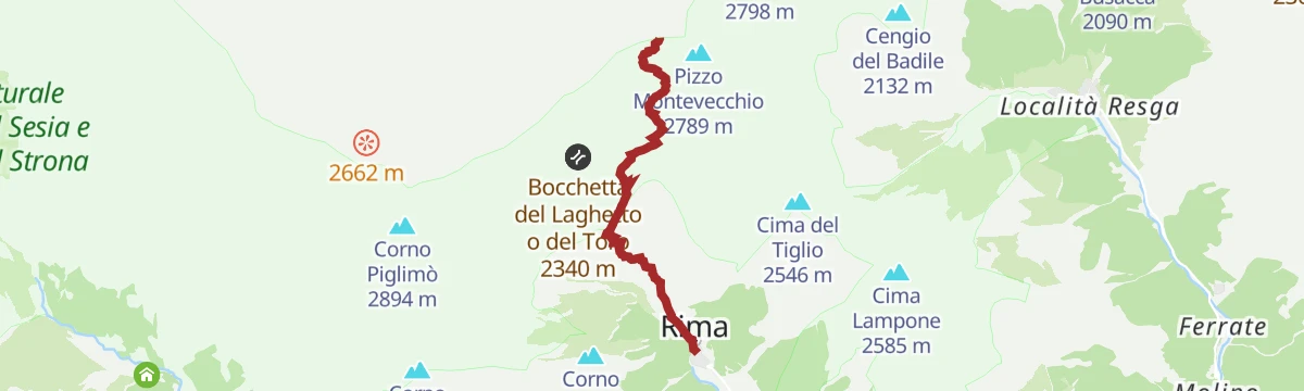
RIMA
7.7 km away, in Alto Sermenza
The classic crossing between Rima and Carcoforo, shared by the Grande Traversata delle Alpi, the Walser route and the Sentiero Italia.
- 5.3 km
- Distance
- 1 182 m
- Ascent
- 4 h 18 min
- Duration
- 18
- Check-ins
Alta Luce
13.4 km away, in Gressoney-La-Trinité
A route to the Alta Luce, a peak on the ridge above Gressoney-La-Trinité at the head of the Lys valley.
- 13.0 km
- Distance
- 855 m
- Ascent
- 5 h 47 min
- Duration
- 165
- Check-ins
CARCOFORO
8.5 km away, in Carcoforo
The climb from Carcoforo to the Colle della Bottiggia, the least difficult crossing from the Valsesia over to Macugnaga.
- 5.7 km
- Distance
- 1 287 m
- Ascent
- 4 h 40 min
- Duration
- 8
- Check-ins
Gressoney La Trinité
14.8 km away, in Gressoney-La-Trinité
A climb starting at Stafal, first beside the Lys torrent on its right bank and then up the hillside above the valley.
- 5.2 km
- Distance
- 0 m
- Ascent
- 1 h 13 min
- Duration
- 88
- Check-ins






No routes of this kind in Macugnaga yet.
Planning a trip to Macugnaga?
Everything else Piedmont has, in one place


Take Macugnaga with you into the mountains
Every route on this page with 3D terrain, GPX navigation and offline maps — including the valleys with no signal.
Data sources
- Official website: visitossola.it ↗
- Routes and highlights: Visit Monterosa, Piemonte Outdoor, Visitvalsesiavercelli, Visit Ossola, Monterosa Outdoor, Distretto dei Laghi
- Published as open data by the tourist boards named above.
- Region summary generated from the board's own material.
