




















Curated by Valtellina Outdoor
Livigno
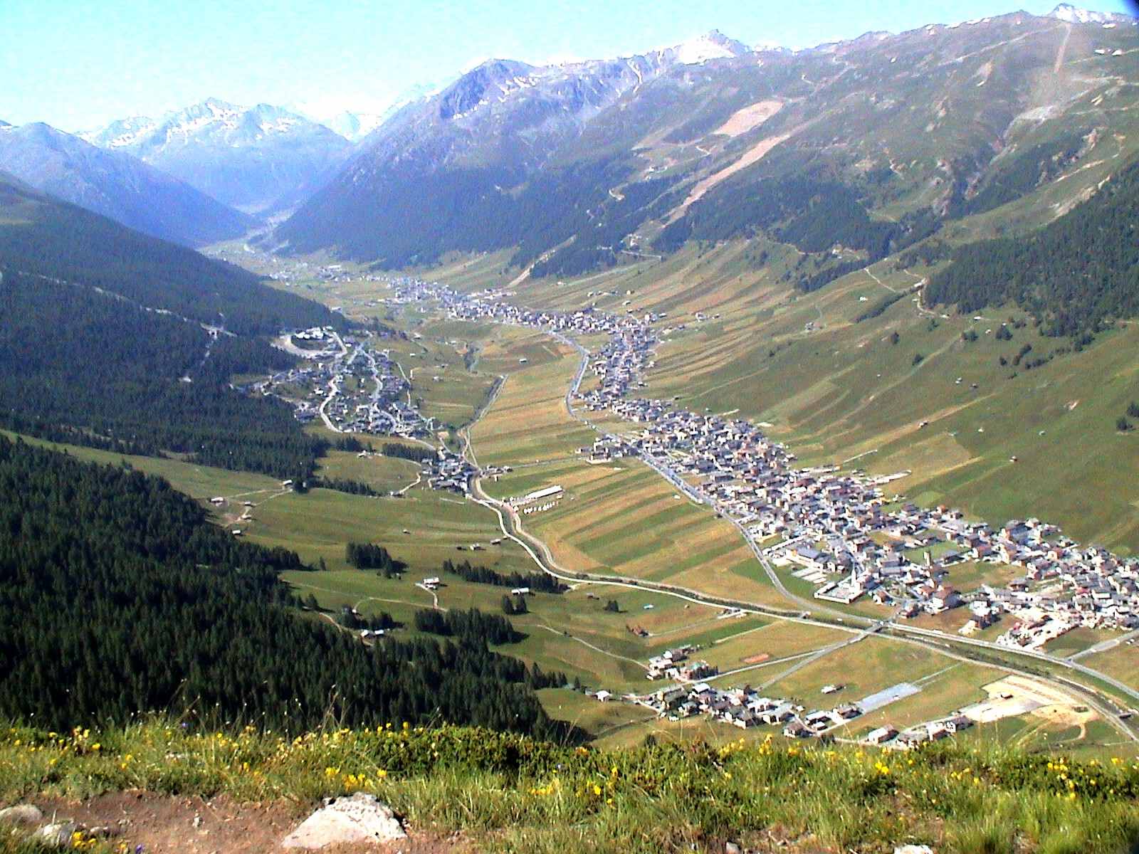
A high duty-free valley on the Swiss border above Bormio, its ski area spread along the Spöl.
- 1Highlights
- 154Routes
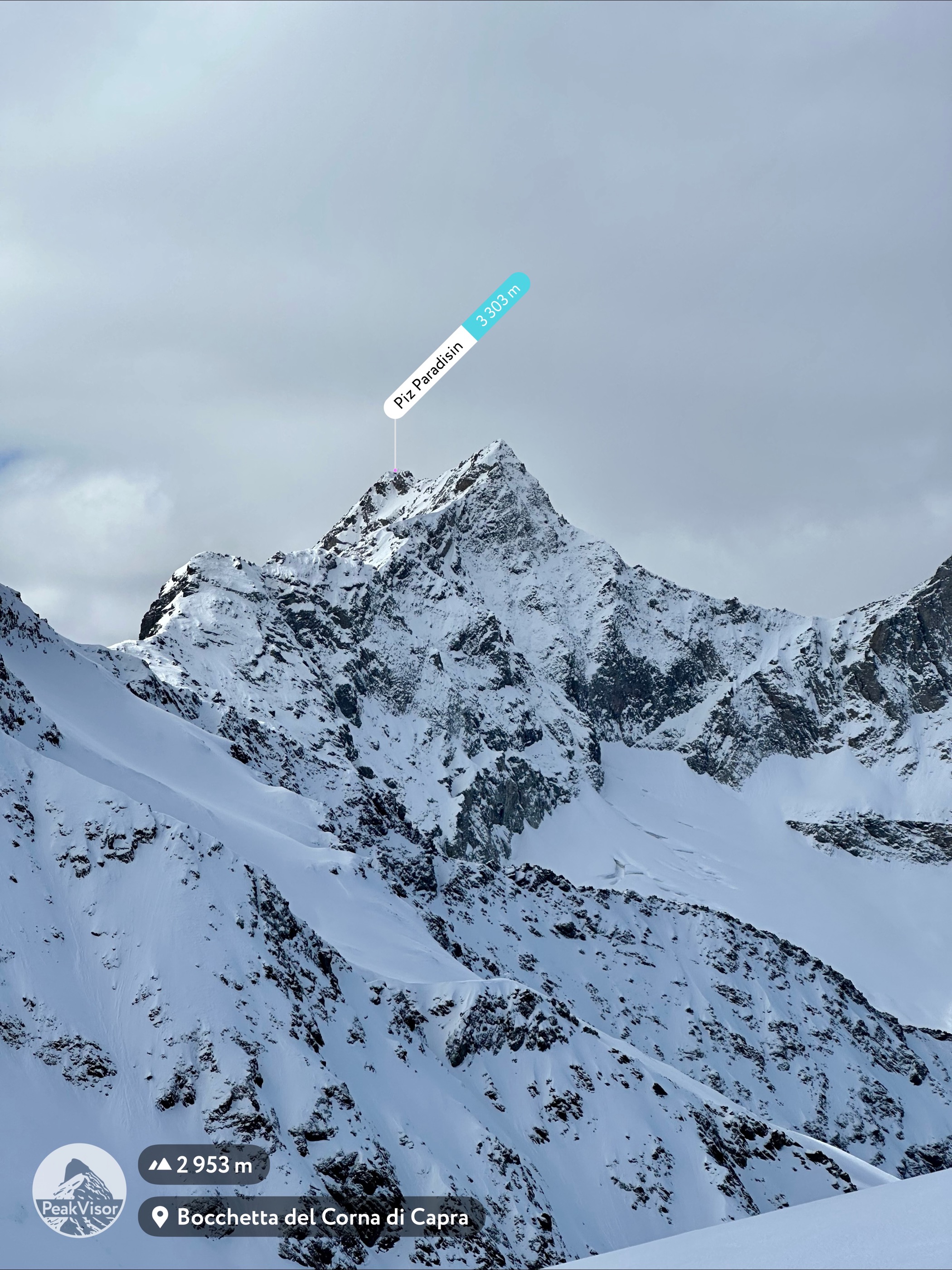
- Featured summit · Piz Paradisin
Highlights
All 1 from neighbouring places
Rifugio Viola
12 km away, in Valdidentro
A refuge in the Val Viola above Arnoga, in the Alta Valtellina, a base for the Cima Viola and the pass over into the Val Poschiavo.
Nothing of this kind in Livigno.
Routes
50 routes, an even mix of activities · see the rest on italia.it ↗
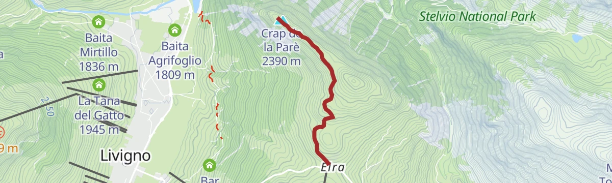
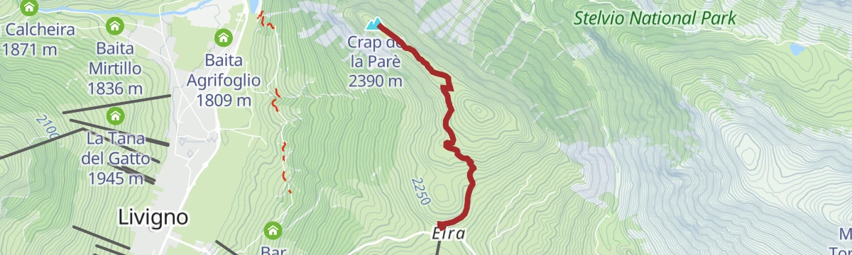
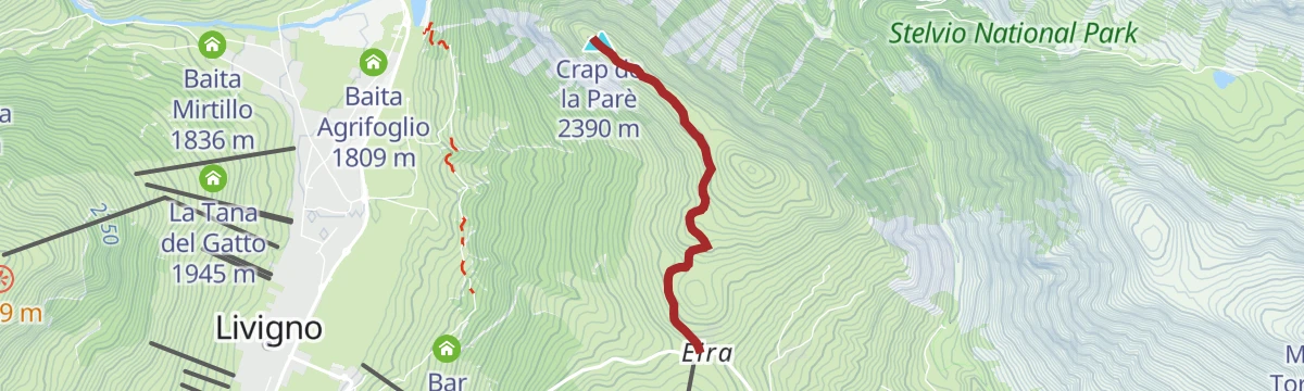
Crap da la Pare
A short walk from the So'mp Eira car park at Livigno on a broad track, easy in both directions.
- 4.6 km
- Distance
- 161 m
- Ascent
- 1 h 29 min
- Duration
- 97
- Check-ins
Open route Valtellina OutdoorCarosello 3000 Refreshment point
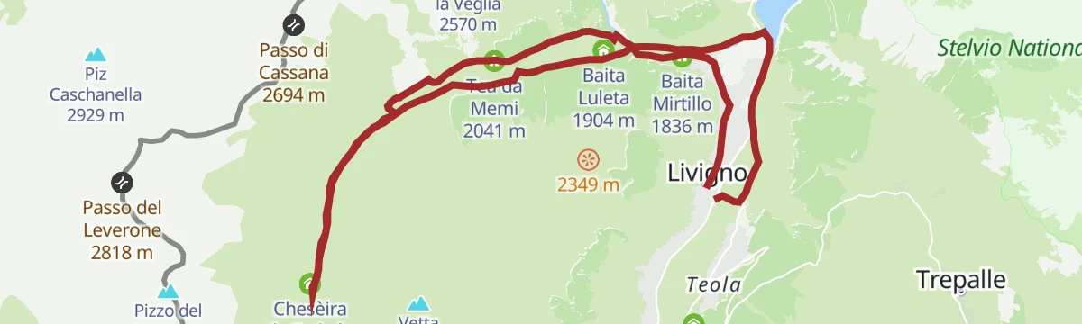
A valley walk up Val Federia from the Calcheira bridge, past the small Federia church and the flats of Plan da l'Isoleta, up to the Carosello 3000 refreshment point.
- 9.5 km
- Distance
- 895 m
- Ascent
- 3 h 55 min
- Duration
- 103
- Check-ins
 Carosello 3000 2 743 m
- La Calcheira 1 871 m
- malga di federia 2 213 m
- Chesèira da Fedarìa 2 219 m
 Lac Salin 2 696 m
- Chiesa dell'Addolorata in Val Federia 1 961 m
- +1
Open route Valtellina OutdoorLivigno-Monte Parè - Val Tort "Ring"
A long ride from the Mottolino lift over the Passo d'Eira to the Monte Parè viewpoint, returning through Val Tort; the pass is also reachable by road.
- 25.0 km
- Distance
- 932 m
- Ascent
- 8 h 10 min
- Duration
- 152
- Check-ins
 Crap de la Parè 2 390 m
- Il Mottolino 2 347 m
 Passo Eira 2 208 m
- Gatto Nero 2 213 m
- M'eating Point 2 392 m
- Goloseria Galli 1 822 m
- +3
Open route Valtellina OutdoorCroce Valandrea_ managed route
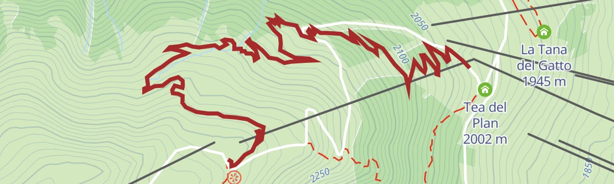
A marked ski tour climbing through the woods away from the pistes, from the Lupigno playground up past the Tea del Plan.
- 2.8 km
- Distance
- 483 m
- Ascent
- 0 m
- Descent
- 1 h 22 min
- Duration
- 14
- Check-ins
Open route Valtellina OutdoorCarousel 3000_Managed Route
A marked ski-touring track from Plaza Placheda, climbing through wood on poled markers and then over open ground between the Polvere and Centrale pistes.
- 4.8 km
- Distance
- 909 m
- Ascent
- 51 m
- Descent
- 2 h 33 min
- Duration
- 61
- Check-ins
Open route Valtellina OutdoorRoller Coaster
A flow trail at Carosello 3000 running from the Costaccia hut down towards the village, curves and berms through forest with the lake in sight.
- 4.3 km
- Distance
- 0 m
- Ascent
- 30 min
- Duration
- 41
- Check-ins
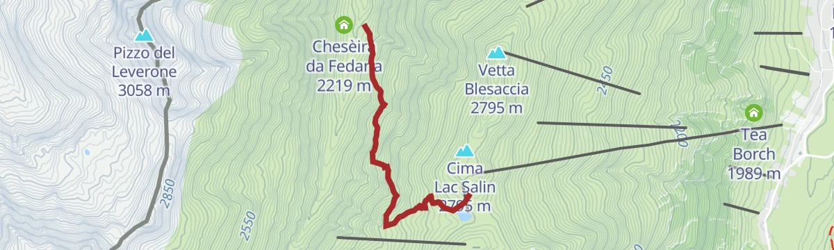
Open route Valtellina OutdoorRifugio Cassana - Carosello 3000 mtb
A dirt-road mountain-bike climb from the Federia pastures up to Lac Salin at 2,696 m, high on the western slopes above Livigno.
- 7.8 km
- Distance
- 600 m
- Ascent
- 1 h 23 min
- Duration
- 78
- Check-ins
- Carosello 3000 2 743 m
- malga di federia 2 213 m
- Chesèira da Fedarìa 2 219 m
- Lac Salin 2 696 m
- Rifugio Cassana 2 601 m
Open route Valtellina OutdoorLivigno-Val Federia "Top Carosello - Madonon - Federia"
A long bike loop from Plaza Placheda on dirt roads to Carosello 3000 at 2,737 m, then down by Madonon and single trail into Val Federia.
- 26.0 km
- Distance
- 1 094 m
- Ascent
- 3 h 22 min
- Duration
- 158
- Check-ins
- Monte delle Rezze 2 858 m
- Carosello 3000 2 743 m
- La Calcheira 1 871 m
- Bivacco Involt da li Resa 2 830 m
- malga di federia 2 213 m
- Chesèira da Fedarìa 2 219 m
- +7
Open route Valtellina OutdoorAlong the Lake of Livigno
A flat, easy ride out of the village following the Spöl past the Latteria di Livigno, on a dirt path to the Ristoro Alpisella.
- 6.6 km
- Distance
- 0 m
- Ascent
- 35 min
- Duration
- 12
- Check-ins
Open route Valtellina OutdoorMottolino Bike Trail
A flow route down from the Mottolino lift past Camanel di Planon and Alpe Mine, the first Flow Country line ever built, laid out by Hans Rey.
- 8.2 km
- Distance
- 193 m
- Ascent
- 59 min
- Duration
- 60
- Check-ins
- M'eating Point 2 392 m
- Camanel di Planon 2 350 m
- Agriturismo Alpe Mine 2 195 m
- M'eating point 2 441 m
- Li Mína 2 147 m
- Baitel Moton da l'Al 2 307 m
Open route Valtellina OutdoorPasso dello Stelvio con salita dal versante svizzero Passo Umbrail
A very long road day out of Livigno, crossing Passo Eira, Foscagno and Pass dal Fuorn, then climbing from the Swiss side to the pass at 2,758 m.
- 112.0 km
- Distance
- 3 275 m
- Ascent
- 13 h 1 min
- Duration
- 344
- Check-ins
- Stelvio Pass 2 758 m
- Passo Eira 2 208 m
- Baita Viola 1 883 m
- Gatto Nero 2 213 m
- Pass dal Fuorn 2 150 m
- Foscagno Pass 2 291 m
- +30
Open route Valtellina OutdoorCrap da la Pare' with Joëlette
A wheelchair-accessible gravel track from the Eira pass out onto the Crap de la Pare, a rock shelf high above the Livigno basin.
- 4.6 km
- Distance
- 160 m
- Ascent
- 1 h 29 min
- Duration
- 97
- Check-ins
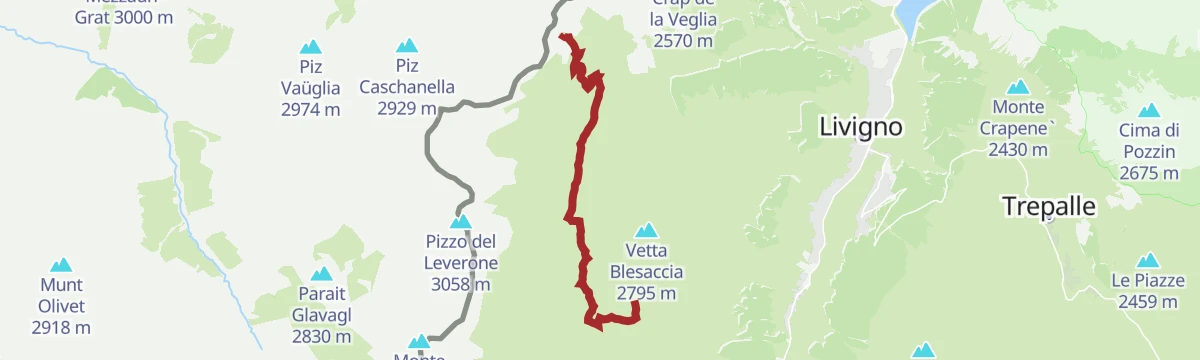
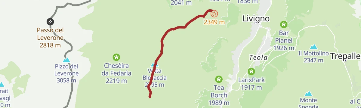
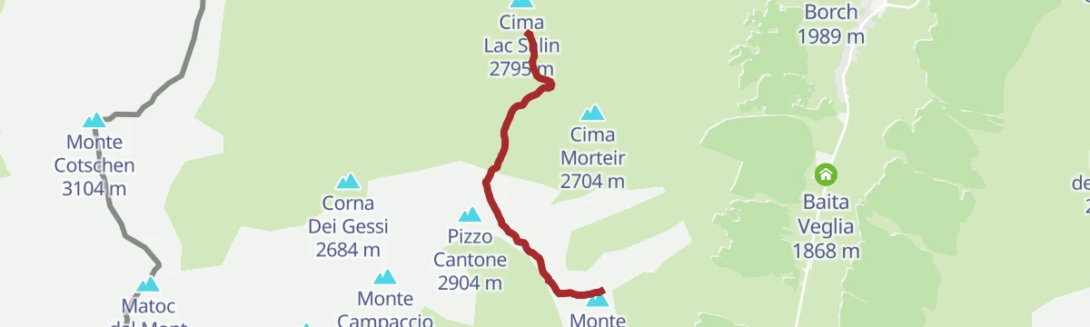
Open route Valtellina OutdoorCarosello 3000
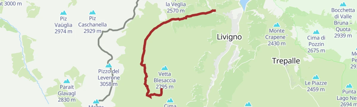
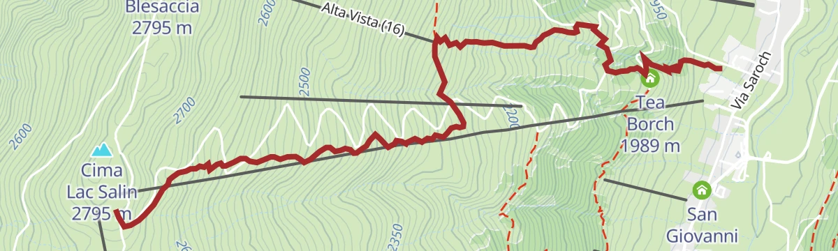
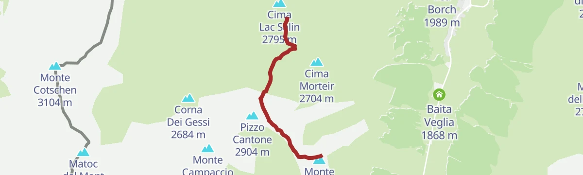
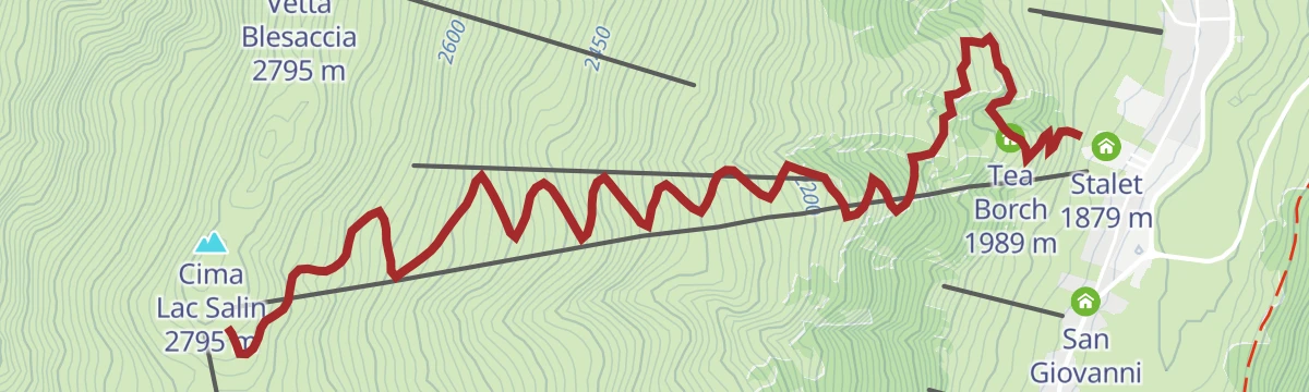
A climb on the Carosello 3000 side of Livigno over the Blesaccia crest towards Cima Lac Salin.
- 4.3 km
- Distance
- 446 m
- Ascent
- 2 h 2 min
- Duration
- 97
- Check-ins
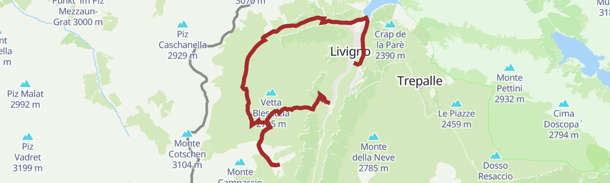
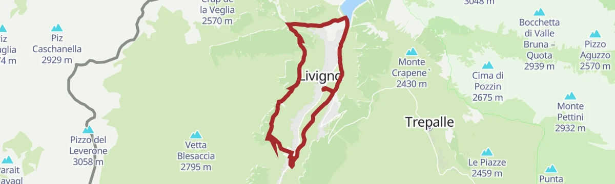
Open route Valtellina OutdoorLivigno Loop
A near-level circuit of the full length of Livigno, out along the lake and into Val Federia towards the Forcola before returning to the centre.
- 20.2 km
- Distance
- 150 m
- Ascent
- 5 h 6 min
- Duration
- 127
- Check-ins
- Baita Rina 1 820 m
- Baita Diletta 1 837 m
- Dosdé 1 812 m
- Baita Eden 1 810 m
- Pastificio Livignese 1 812 m
- Goloseria Galli 1 822 m
- +5
Open route Valtellina OutdoorDal campeggio Forcola fino al Monte delle Rezze
A demanding ski tour above the Albergo Forcola, climbing steadily to the Bivacco Involt da li Resa just below the summit ridge.
- 9.4 km
- Distance
- 931 m
- Ascent
- 979 m
- Descent
- 3 h 36 min
- Duration
- 24
- Check-ins
Carosello 3000 Sitas Mountain Park - Federia Single Trail
A natural single trail dropping from the top of Carosello 3000 into Val Federia, rough and steep in places, ending on the valley dirt road at Calcheira.
- 3.4 km
- Distance
- 0 m
- Ascent
- 31 min
- Duration
- 33
- Check-ins
Open route Valtellina OutdoorLivigno-Giro delle Tee "Easy Loop Route"
A gentle ride from Livigno out to the lake and along the bike path past the tee, the timber summer dwellings scattered through the woods.
- 13.3 km
- Distance
- 253 m
- Ascent
- 1 h 25 min
- Duration
- 64
- Check-ins
- Tea del Plan 2 002 m
- La Calcheira 1 871 m
- Goloseria Galli 1 822 m
- Kosmo 1 830 m
- Stalet 1 879 m
- Baita Mirtillo 1 836 m
Open route Valtellina OutdoorLivigno in bici con i campioni
A panoramic round of the Livigno valley by the Val Federia dairies, on the tracks the pros train on.
- 37.0 km
- Distance
- 994 m
- Ascent
- 4 h 14 min
- Duration
- 125
- Check-ins
Stelvio Epic Rides: Passo della Forcola
The road from Livigno up to the Forcola pass and over the border into Switzerland, with little height to gain and the Bernina pass beyond.
- 6.7 km
- Distance
- 380 m
- Ascent
- 49 min
- Duration
- 38
- Check-ins
Open route Valtellina OutdoorEngadina ride
A road ride from Livigno over Passo Forcola and its tunnels into Switzerland, crossing the Bernina pass before the return.
- 98.8 km
- Distance
- 1 379 m
- Ascent
- 10 h 4 min
- Duration
- 190
- Check-ins
- Passo del Bernina 2 330 m
- Passo Forcola di Livigno 2 315 m
- Berninahaus 2 049 m
- Cambrena 2 308 m
- Foresteria 2315 2 306 m
- Rifugio Tridentina 2 307 m
- +18
Open route Valtellina OutdoorCrap della Pare'
A short walk from the Passo d'Eira up to the Crap de la Pare, a rock terrace looking down the length of the Livigno valley.
- 2.4 km
- Distance
- 167 m
- Ascent
- 50 min
- Duration
- 97
- Check-ins
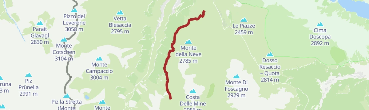
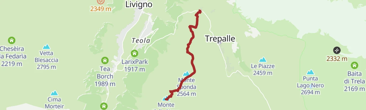
Mont dal la Nef
A climb from the Mottolino side of Livigno to the Monte della Neve, on open ground above the treeline.
- 4.9 km
- Distance
- 571 m
- Ascent
- 2 h 21 min
- Duration
- 82
- Check-ins
- Monte della Neve 2 785 m
- Il Mottolino 2 347 m
- Passo Eira 2 208 m
- Gatto Nero 2 213 m
- M'eating point 2 441 m
Open route Valtellina OutdoorSentiero Italia D33N - Stage Rifugio Federico in Dosdè - Livigno
A long stage out of the quiet Val Viola, by the Val Viola hut and its tarns, down past the lake and the pastures on the Torrente Minestra toward Livigno.
- 28.1 km
- Distance
- 1 133 m
- Ascent
- 9 h 38 min
- Duration
- 125
- Check-ins
- Rifugio Federico Valgoi 2 133 m
- Ristoro Baita Altumeira 2 118 m
- Rifugio Viola 2 314 m
- Agriturismo Alpe Mine 2 195 m
- La Tresenda 1 909 m
- Tea Borch 1 989 m
- +6
Open route Valtellina OutdoorMottolino Bikepark - Enduro Natural Trail (14)
A natural, flowing descent inside the forest that follows the mountain's own profile, with smooth turns and easy rhythm for a first bike-park run.
- 5.3 km
- Distance
- 0 m
- Ascent
- 40 min
- Duration
- 32
- Check-ins
Open route Valtellina OutdoorLivigno-Val Federia "Easy Loop Route"
An easy-graded ride from Livigno along the lake bike path into Val Federia, on dirt track through woods by the river to a farmhouse, and back.
- 18.7 km
- Distance
- 410 m
- Ascent
- 2 h 3 min
- Duration
- 123
- Check-ins
- La Calcheira 1 871 m
- Dosdé 1 812 m
- malga di federia 2 213 m
- Baita Eden 1 810 m
- Chesèira da Fedarìa 2 219 m
- Pastificio Livignese 1 812 m
- +7
Open route Valtellina OutdoorIn the heart of Val Federia
A gentle valley ride from Livigno along the lake bike path into the Federia valley, past its chapel and the huts on the pasture floor.
- 10.6 km
- Distance
- 208 m
- Ascent
- 1 h 8 min
- Duration
- 36
- Check-ins
- La Calcheira 1 871 m
- Baita Mirtillo 1 836 m
- Chiesa dell'Addolorata in Val Federia 1 961 m
- Baita Luleta 1 904 m
Open route Valtellina OutdoorLaghi di Cancano da Livigno
A long road ride from Livigno over Passo Eira and the Foscagno Pass, then up to Passo Torri di Fraele on the Valdidentro side.
- 82.8 km
- Distance
- 2 536 m
- Ascent
- 9 h 44 min
- Duration
- 187
- Check-ins
- Passo Eira 2 208 m
- Baita Viola 1 883 m
- Gatto Nero 2 213 m
- Foscagno Pass 2 291 m
- Monte delle Scale 1 953 m
- Passo Torri di Fraele 1 941 m
- +9
Open route Valtellina OutdoorSomp Eira
A walk from Pont da Rez past the Somarin hut and the hamlet of Sgembre to the Eira saddle, returning down the Corta, the old mule track towards Bormio.
- 5.5 km
- Distance
- 204 m
- Ascent
- 2 h 2 min
- Duration
- 83
- Check-ins
- Passo Eira 2 208 m
- Gatto Nero 2 213 m
- Goloseria Galli 1 822 m
- Kosmo 1 830 m
- Bar Planel 1 926 m
- Casa Gembre 2 149 m
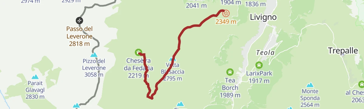
Open route Valtellina OutdoorChes'e'ira da Fedaria da Ristoro Costaccia
A high link from the Costaccia refreshment point over the Blesaccia ridge and down to the Cheseira da Fedaria in Val Federia.
- 7.4 km
- Distance
- 426 m
- Ascent
- 3 h 16 min
- Duration
- 75
- Check-ins
Open route Valtellina OutdoorTowards the Giro Summit
The road climb used by the 2024 Giro d'Italia, from the village up Teola and over the Passo d'Eira to the summit finish at Mottolino.
- 26.5 km
- Distance
- 971 m
- Ascent
- 8 h 15 min
- Duration
- 79
- Check-ins
Open route Valtellina OutdoorCoast to Coast
A flow trail on the ridge between the Livigno valley and Val Federia, from the San Rocco gondola top station to the Costaccia hut, open and easy-angled.
- 5.6 km
- Distance
- 0 m
- Ascent
- 38 min
- Duration
- 30
- Check-ins
Open route Valtellina OutdoorMTB route: Cancano - Acqua del Gallo - Val Mora
A long dirt-road ride from San Giacomo di Fraele across into Switzerland, over the Fuorcla del Gal to the Jausenstation Alp Mora and Chasa da Cunfin.
- 25.4 km
- Distance
- 590 m
- Ascent
- 2 h 48 min
- Duration
- 12
- Check-ins
- Passo di Fraele 1 952 m
- Passo di Val Mora 1 930 m
- Chasa da Cunfin 2 289 m
- Jausenstation Alp Mora 2 087 m
- Fuorcla del Gal 2 278 m
Open route Valtellina OutdoorImmersion in the art trail
An easy ride out of Livigno on the cycle path beside the Spol, past the small lake to San Rocco, then into the larch woods and their artworks.
- 9.1 km
- Distance
- 103 m
- Ascent
- 54 min
- Duration
- 20
- Check-ins
Open route Valtellina OutdoorLivigno-Val delle Mine - Mottolino Side
A ride from the Mottolino station up to the Passo d'Eira and the Mottolino restaurant, then down single trail by Camanel di Planon into the Valle delle Mine.
- 15.3 km
- Distance
- 774 m
- Ascent
- 2 h 5 min
- Duration
- 139
- Check-ins
- Il Mottolino 2 347 m
- Passo Eira 2 208 m
- Gatto Nero 2 213 m
- Camanel di Planon 2 350 m
- Agriturismo Alpe Mine 2 195 m
- La Tresenda 1 909 m
- +6
Open route Valtellina OutdoorAlpe Federia dal ristoro Carosello 3000
A level high traverse from the Carosello 3000 refreshment point across to the Alpe Federia above Livigno.
- 3.6 km
- Distance
- 0 m
- Ascent
- 1 h 25 min
- Duration
- 75
- Check-ins
Open route Valtellina OutdoorDal Passo Eira ai Laghi di Cancano
A walk from the Passo d'Eira over towards the Cancano reservoirs, on the divide between Livigno and the Fraele valley.
- 10.5 km
- Distance
- 421 m
- Ascent
- 3 h 48 min
- Duration
- 73
- Check-ins
Open route Valtellina OutdoorPasso del Foscagno Alpe Trela
A long circuit from the Foscagno pass by trail below Trepalle and around Monte Rocca, then up Val Pila to the Val Trela pass and the Trela alp.
- 18.2 km
- Distance
- 701 m
- Ascent
- 5 h 60 min
- Duration
- 70
- Check-ins
- Foscagno Pass 2 291 m
- Baita di Trela 2 169 m
- Aurora 2 289 m
- Interalpen 2 246 m
- Passo Trela 2 295 m
- Lago di Foscagno 2 243 m
- +2
Open route Valtellina OutdoorBike Academy
A skills route from the top of the Vetta chairlift down to the Costaccia hut, with eight practice areas for balance, drops and rock gardens.
- 4.8 km
- Distance
- 0 m
- Ascent
- 31 min
- Duration
- 27
- Check-ins
Open route Valtellina OutdoorThe bike path
A near-flat ride from the P7 car park down a dirt road to Campacio'l, then on paved cycle path beside the Spol to the Latteria and Pont Lonch.
- 10.4 km
- Distance
- 20 m
- Ascent
- 59 min
- Duration
- 19
- Check-ins
Open route Valtellina OutdoorLivigno Val Federia + Tee Alte
A ride north from Livigno to the lake, then up Val Federia on route 167 from the Calcheira bridge to Plan da l'Isoleta and the higher tee.
- 19.6 km
- Distance
- 481 m
- Ascent
- 2 h 12 min
- Duration
- 120
- Check-ins
- La Calcheira 1 871 m
- Dosdé 1 812 m
- malga di federia 2 213 m
- Baita Eden 1 810 m
- Chesèira da Fedarìa 2 219 m
- Pastificio Livignese 1 812 m
- +7
Open route Valtellina OutdoorAscent to the Resa with Joëlette
A high route from the Carosello 3000 top station at about 2,800 m out to the Rezze bivouac, with a wide view over Livigno and into the Engadine.
- 6.3 km
- Distance
- 200 m
- Ascent
- 1 h 58 min
- Duration
- 66
- Check-ins
Open route Valtellina OutdoorRistoro Carosello 3000
A steady climb from the floor of the Livigno valley up to the Carosello 3000 refreshment point on the west-side ridge.
- 5.4 km
- Distance
- 863 m
- Ascent
- 3 h 21 min
- Duration
- 61
- Check-ins
Open route Valtellina OutdoorTour of Monte Foscagno
A circuit of Monte Foscagno from the Foscagno lake, down the valley to Pian dell'Acqua and back on the Decauville track between Arnoga and Cancano.
- 20.3 km
- Distance
- 818 m
- Ascent
- 6 h 47 min
- Duration
- 68
- Check-ins
- Foscagno Pass 2 291 m
- Baita di Trela 2 169 m
- Aurora 2 289 m
- Interalpen 2 246 m
- Passo Trela 2 295 m
- Lago di Foscagno 2 243 m
- +1
Open route Valtellina OutdoorMottolino Bike Park - Take It Easy (11)
A wide, smooth descent from the Mottolino cable car, made for first-time bike-park riders, narrowing into the woods for the last kilometre.
- 4.4 km
- Distance
- 0 m
- Ascent
- 35 min
- Duration
- 27
- Check-ins
Open route Valtellina OutdoorAlpine Gravel: Val del Gallo
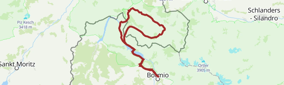
A long gravel ride from Bormio over the Torri di Fraele into the Val Mora and across to Pass dal Fuorn, in and out of Switzerland.
- 97.5 km
- Distance
- 2 349 m
- Ascent
- 10 h 52 min
- Duration
- 96
- Check-ins
- Rifugio Val Fraele 1 954 m
- Pass dal Fuorn 2 150 m
- Monte delle Scale 1 953 m
- Passo Torri di Fraele 1 941 m
- Passo di Fraele 1 952 m
- Hotel Süsom Givè 2 152 m
- +7
Open route Valtellina OutdoorMadonon
A short scenic line to the Madonna delle Rezze statue, beside the Involt da li Resa bivouac, with the Bernina glaciers in view; bikes are barred on the drop to Plascianet.
- 3.1 km
- Distance
- 150 m
- Ascent
- 1 h 1 min
- Duration
- 66
- Check-ins
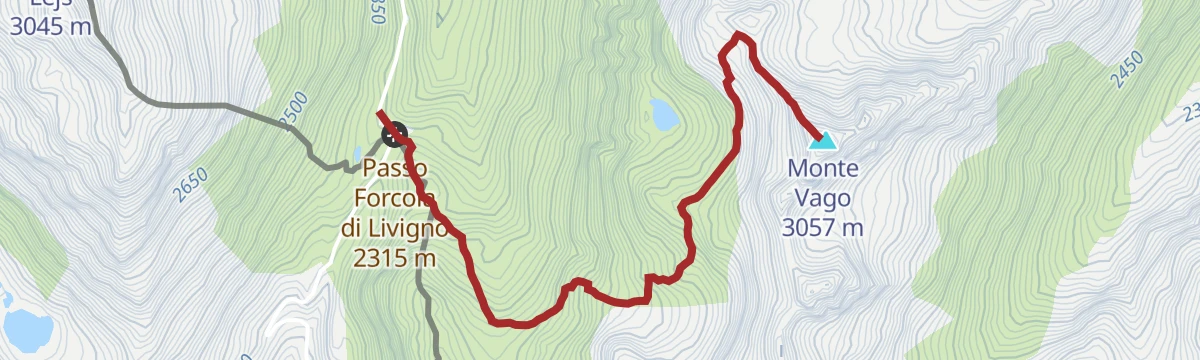
Open route Valtellina OutdoorAl Vach
A steep, rocky climb from the Forcola car park past the Lach dal Vach pond to the viewpoint below the summit of Monte Vago.
- 4.0 km
- Distance
- 746 m
- Ascent
- 2 h 47 min
- Duration
- 56
- Check-ins
- Monte Vago 3 057 m
- Passo Forcola di Livigno 2 315 m
- Foresteria 2315 2 306 m
- Rifugio Tridentina 2 307 m
Open route Valtellina OutdoorLach da Cancan dal Passo Foscagno
A long walk from the Foscagno pass over into the Fraele valley to the Cancano reservoirs, on high open ground throughout.
- 15.3 km
- Distance
- 370 m
- Ascent
- 4 h 50 min
- Duration
- 64
- Check-ins
- Foscagno Pass 2 291 m
- Baita di Trela 2 169 m
- Aurora 2 289 m
- Lago Nero 2 552 m
- Rifugio San Giacomo 1 950 m
- Baita Prada 1 967 m
Open route Valtellina OutdoorMottolino Bikepark - Flow Line (1)
A smooth, rhythmic descent from the Mottolino top station, built with wide banked curves that hold speed the whole way down.
- 2.5 km
- Distance
- 0 m
- Ascent
- 19 min
- Duration
- 27
- Check-ins
Open route Valtellina OutdoorLivigno Giro delle Tee
A ride along the west side of the Livigno valley linking the old tee at Taglieda, Plan, Rin and Pel, with the Blesaccia ridge branching off above.
- 19.1 km
- Distance
- 333 m
- Ascent
- 2 h
- Duration
- 83
- Check-ins
- Tea del Plan 2 002 m
- La Calcheira 1 871 m
- La Tresenda 1 909 m
- Goloseria Galli 1 822 m
- Tea Borch 1 989 m
- Kosmo 1 830 m
- +3
Open route Valtellina Outdoor
No routes of this kind in Livigno yet.
The region's own picks
Featured route
Crap da la Pare
A short walk from the So'mp Eira car park at Livigno on a broad track, easy in both directions.
Planning a trip to Livigno?
Everything else Lombardy has, in one place


Take Livigno with you into the mountains
Every route on this page with 3D terrain, GPX navigation and offline maps — including the valleys with no signal.
Data sources
- Official website: italia.it ↗
- Routes and highlights: Valtellina Outdoor, in Lombardia, YesAlps
- Published as open data by the tourist boards named above.
- Region summary generated from the board's own material.
