
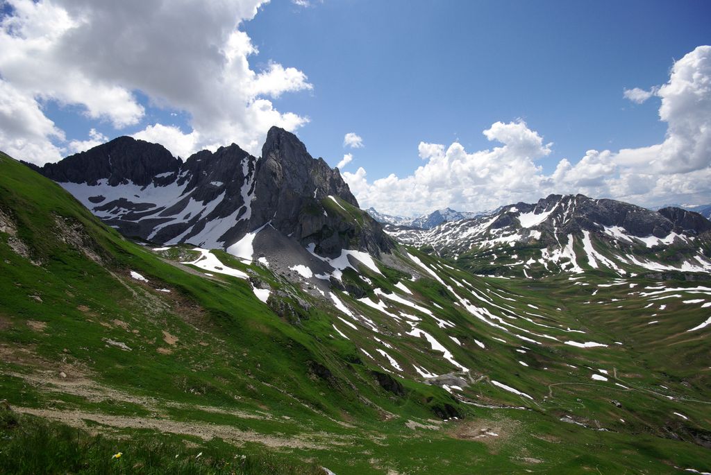
 Mountain hut
 Cable car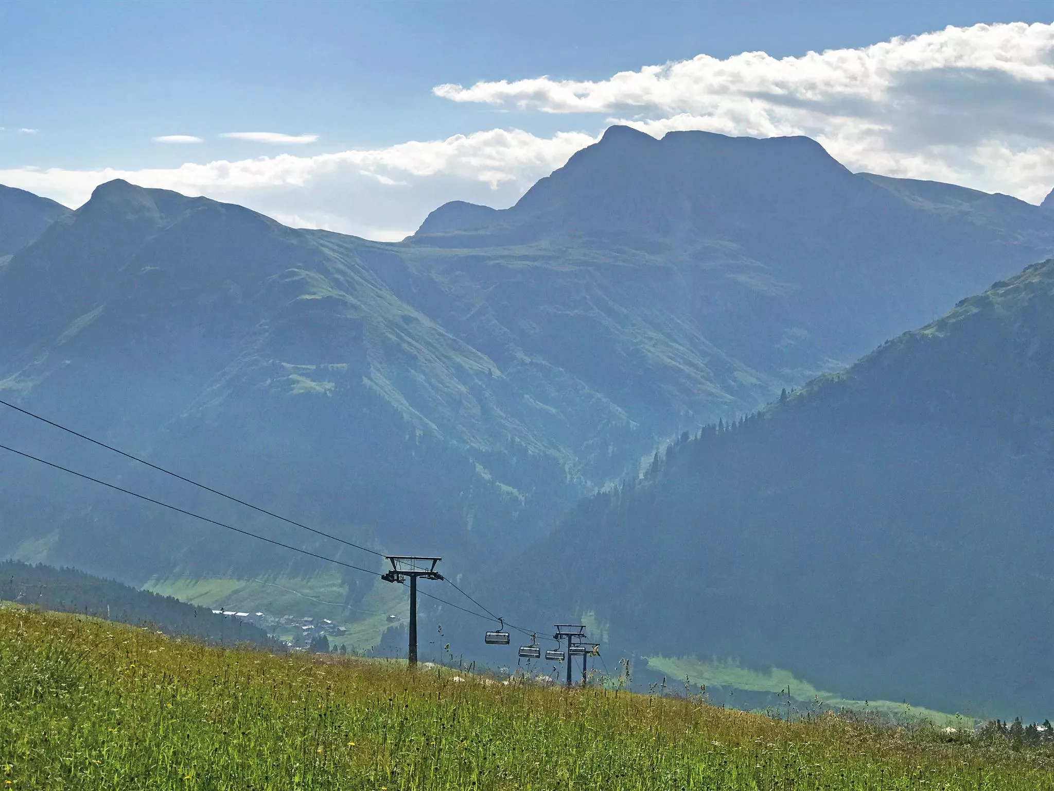
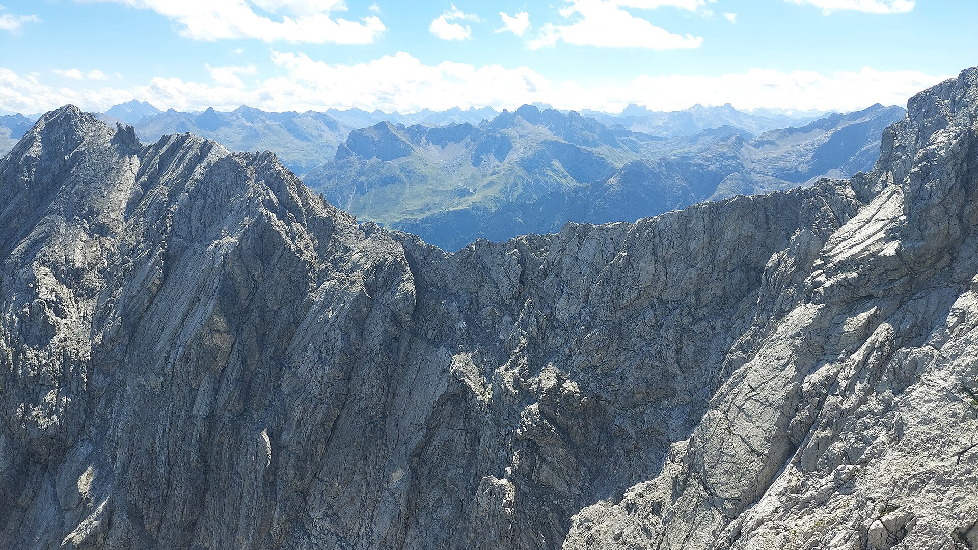
 Mountain pass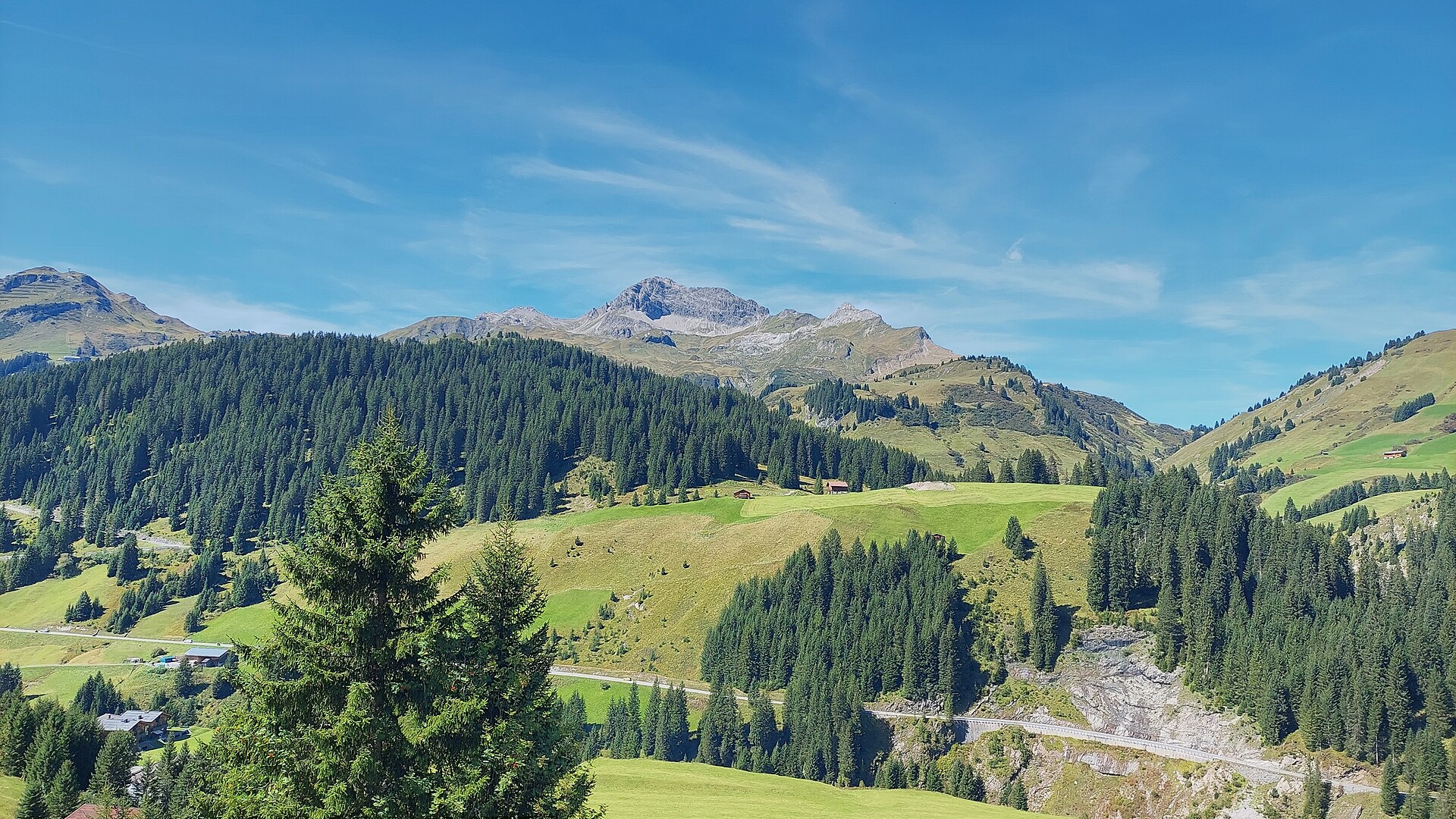














Curated by Warth-Schröcken Tourismus
Lech
The famous ski village on the young Lech river at about 1450 m, with Zürs and Oberlech part of the Arlberg circuit and long a discreet retreat of the well-known.
- 11Highlights
- 72Routes
- Featured summit · Valluga
Highlights
4 from neighbouring places
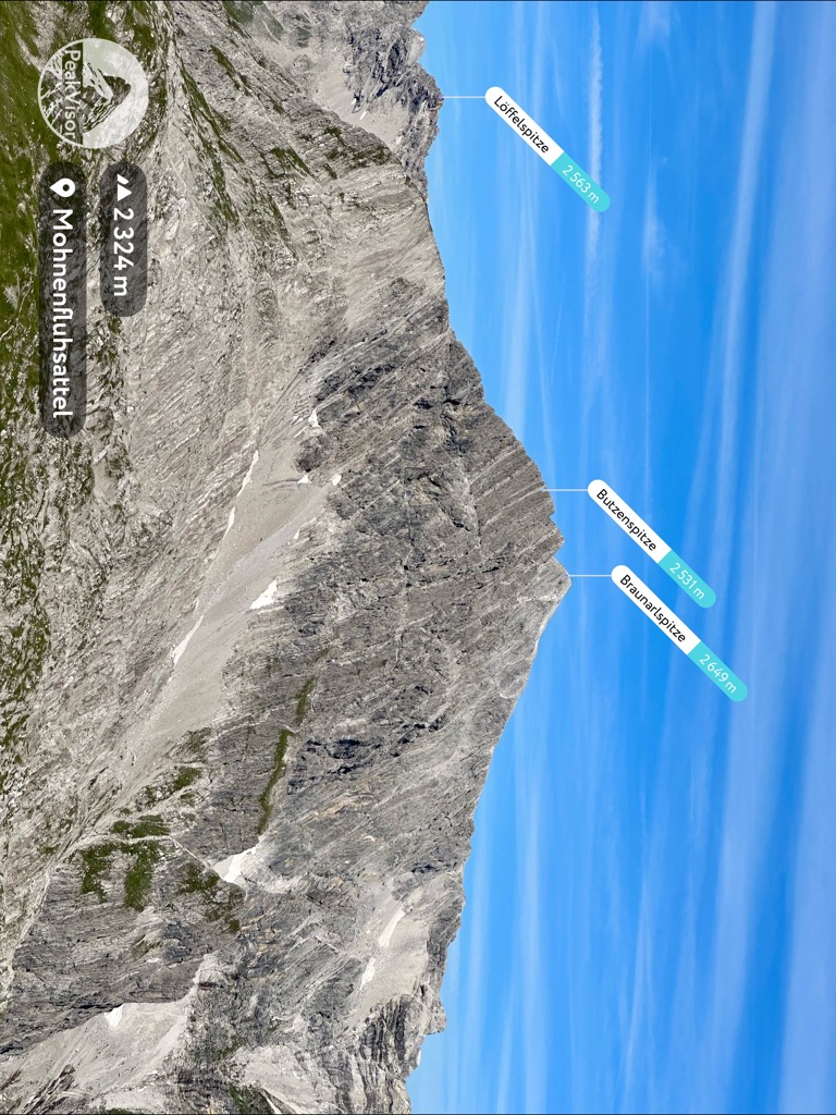
Braunarlspitze
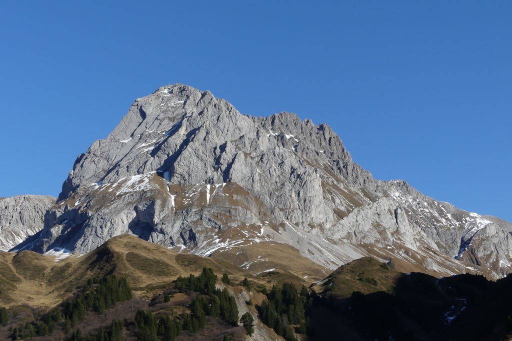
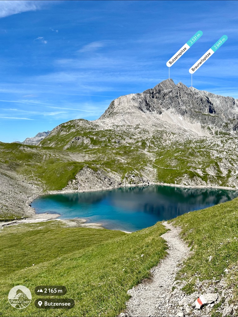
At 2,649 m the highest summit in the northern half of the Lechquellen mountains, and conspicuous from the whole Bregenzerwald.
Göppinger Hütte
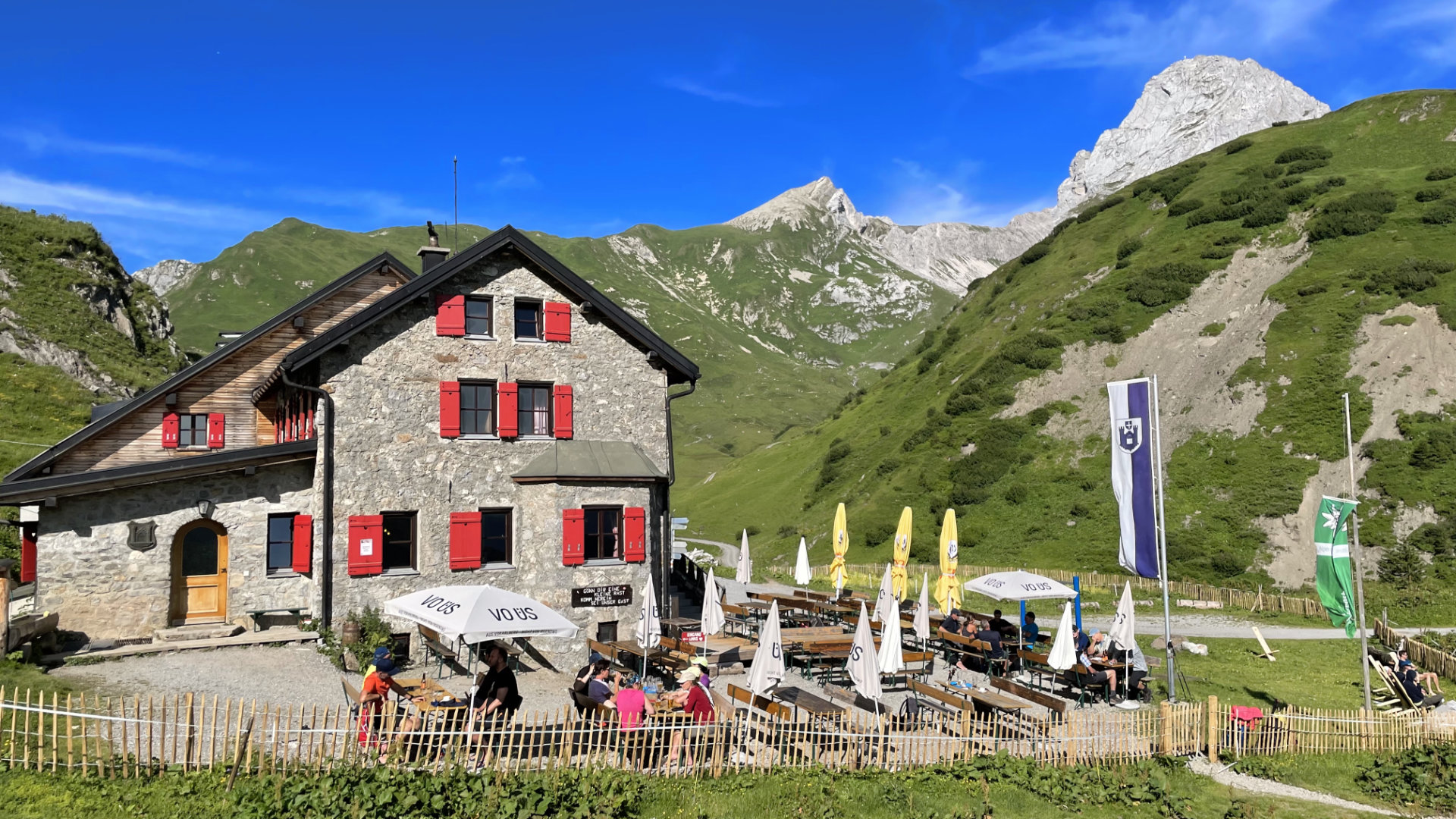
An Alpine Club refuge in the Lechquellen mountains, reached from Lech over the Butzensee.
Karhorn
The main summit of the Karhorn group, with two via ferratas on its ridges.
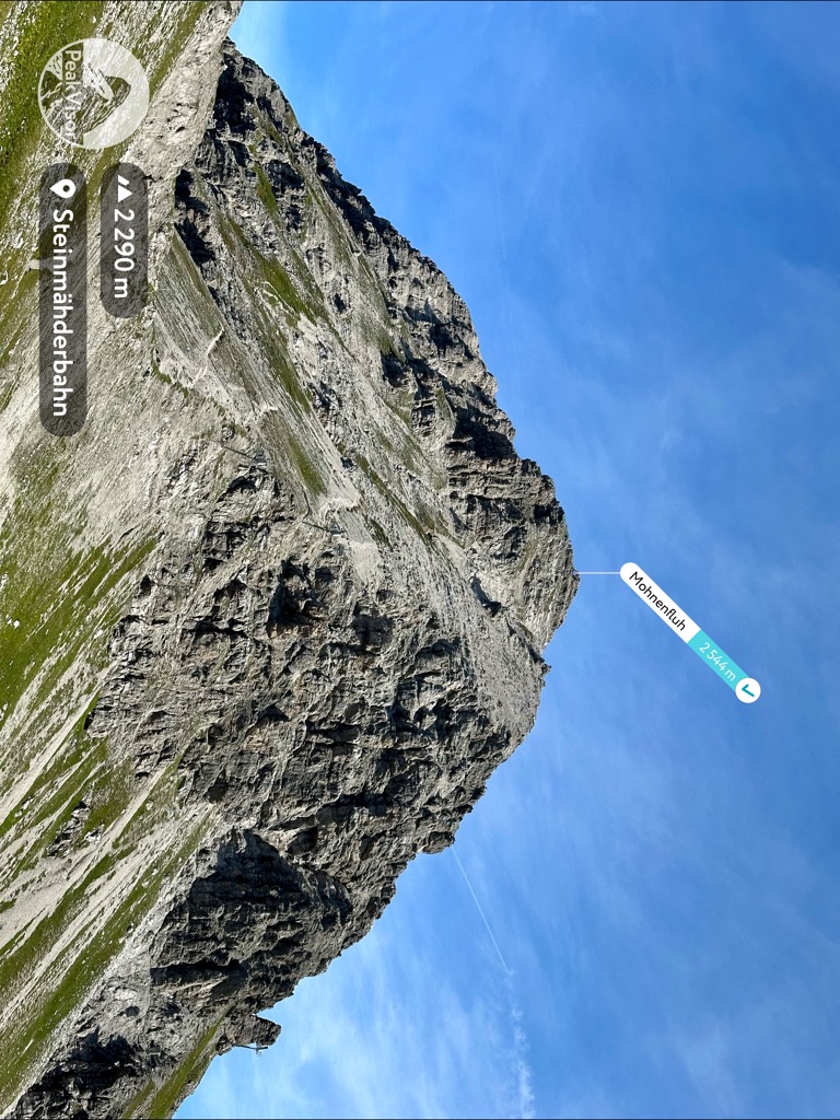
Mohnenfluh
A summit of the Lechquellen mountains above Oberlech, best climbed for sunrise.
Untere Wildgrubenspitze
The highest mountain of the Lechquellen range, west of Zürs.
Bergbahn Oberlech
The cable car linking Lech am Arlberg with car-free Oberlech on the terrace above, running for skiers in winter and walkers in summer.
Petersbodenbahn
A chairlift at Oberlech above Lech am Arlberg, serving the Petersboden slopes in winter and walking country in summer.
Braunarlscharte
The notch under the Braunarlspitze, crossed on the way to the Göppinger Hütte.
Juppenscharte
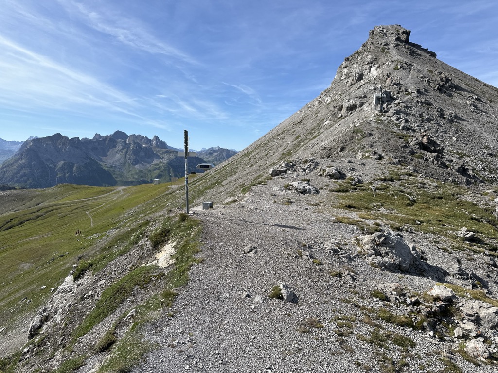
A notch at 2,342 m south-east of the village, the highest of the crossings listed here.
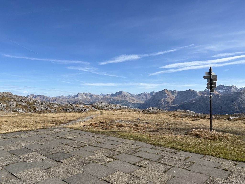
Mohnensattel
A saddle at 2,316 m south of the village, close above the Butzensee on the way to the Mohnenfluh.
Almwirtschaft Bürstegg
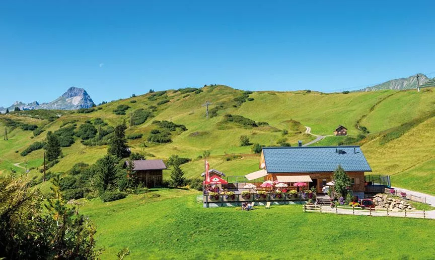
An alpine pasture inn at Bürstegg, a historic high hamlet above Lech am Arlberg, serving home-style regional cooking in the summer season.
Roggalspitze
4.6 km away, in Dalaas
A rock peak in the Lechquellen range, among the finest climbing summits of the group.
Butzensee
4.7 km away, in Schröcken
A small natural lake at 2,119 m in the saddle hollow between the Mohnenfluh, the Butzenspitze and the Zuger Hochlicht.
Ravensburger Hütte - 1.948m
4.9 km away, in Dalaas
A mountain hut at 1,948 m near the Spullersee above Lech, a base for walks in the Lechquellen mountains.
Auenfelder Hütte
5.1 km away, in Schröcken
A mountain hut in the Auenfeld area between Lech and Warth at the head of the Lech valley, serving Austrian and traditional dishes.
Nothing of this kind in Lech.
Routes
50 routes, an even mix of activities · see the rest on arlberg.com ↗
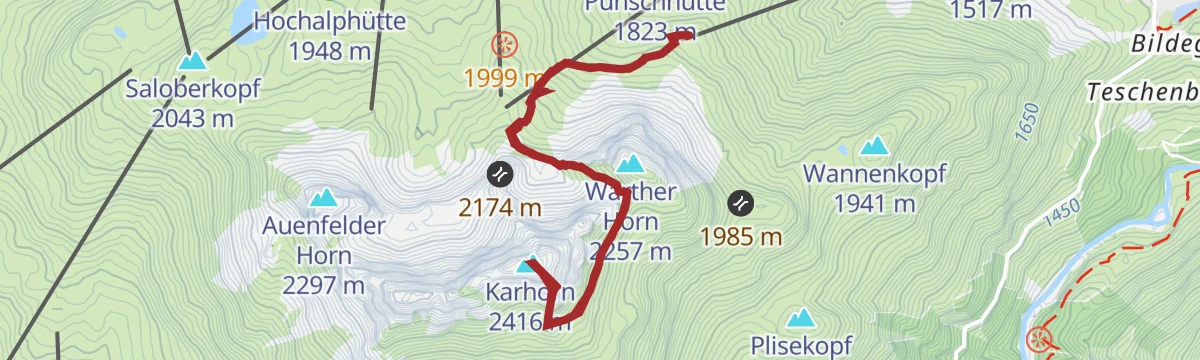
Warth | Karhorn Klettersteig Ost- und Westgrat
Both ridges of the Karhorn in one outing: the east side stays at A/B, while the west ridge holds B/C ground on exposed rock before the descent under the south face.
- 5.2 km
- Distance
- 597 m
- Ascent
- 4 h 31 min
- Duration
- 10
- Check-ins
Warth | Karhorn Klettersteig Ostgrat
The east ridge on its own, graded A/B the whole way from the Wartherhorn-Sattel to the top, with the normal route down the south side; the lift does the first climb.
- 4.7 km
- Distance
- 589 m
- Ascent
- 4 h 22 min
- Duration
- 10
- Check-ins
Klettersteig Karhorn
A ferrata suited to beginners by its length and grade — though the approach and descent still ask for stamina.
- 7.0 km
- Distance
- 629 m
- Ascent
- 6 h 7 min
- Duration
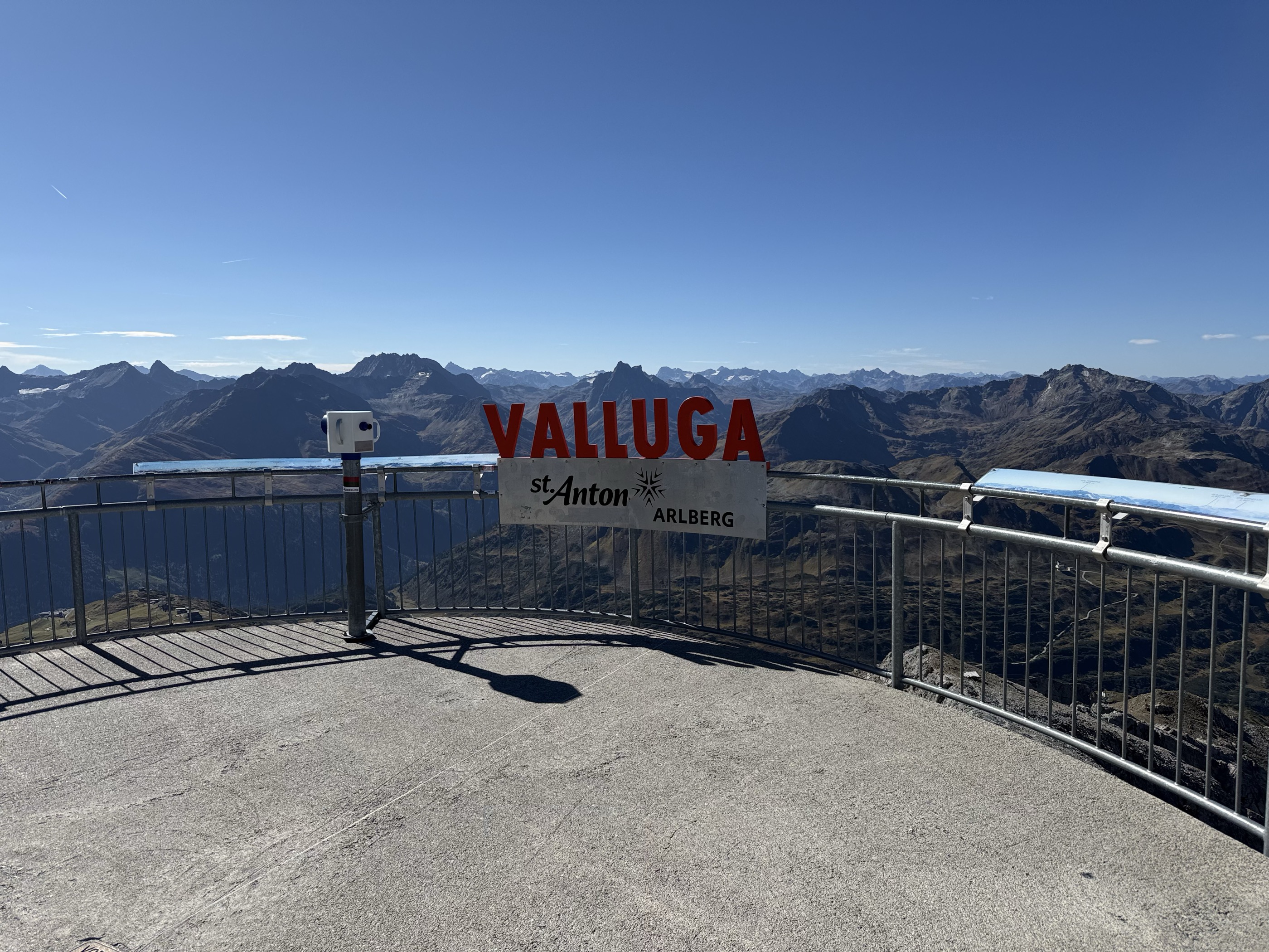
Open route Vorarlberg TourismusValluga - Stuttgarter Hütte 2.310m
From the Vallugagrat station a high path leads across to the Stuttgarter Hütte at 2,310 m — an easy way to reach a genuine alpine hut, with the summit lifts doing the climbing.
- 4.5 km
- Distance
- 248 m
- Ascent
- 1 h 45 min
- Duration
- 27
- Check-ins
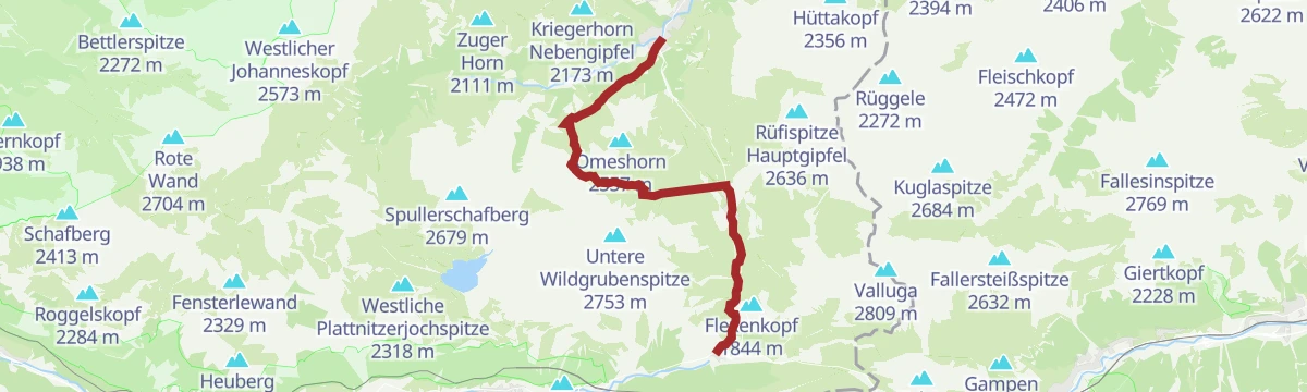
Arlberg Trail Lech - St. Anton (Moderate Alternative)
A moderate way to walk from Lech to St. Anton: over the Flexenpass and past the Valfagehralpe to the Ulmer Hütte, letting lifts and gentler paths replace the original stage's biggest climbs.
- 10.7 km
- Distance
- 882 m
- Ascent
- 5 h 39 min
- Duration
- 80
- Check-ins
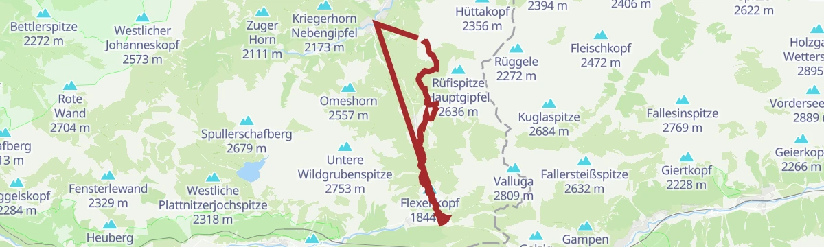
Arlberg Trail Etappe Lech - St. Anton (Originalroute)
The original long stage between Lech and St. Anton, climbing from the Rüfikopf cable car's terrain over the Valfagehrjoch — a marathon-feeling day with more than 2,000 m of ascent.
- 20.1 km
- Distance
- 2 194 m
- Ascent
- 13 h 17 min
- Duration
- 103
- Check-ins
Bodenalpe - Karhorn
A short, steep line from the Bodenalpe to the Karhorn — under three kilometres for nearly a thousand of climb.
- 2.7 km
- Distance
- 0 m
- Ascent
- 0 m
- Descent
- 40 min
- Duration
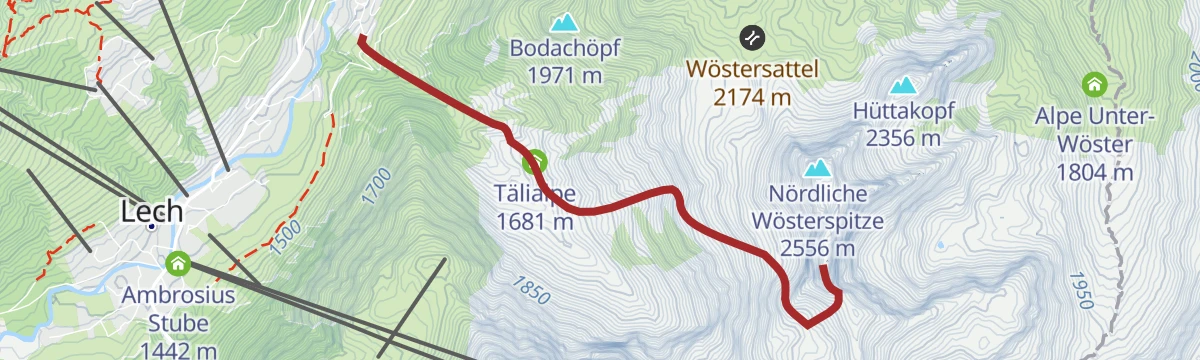
Open route PeakVisor tTRL (OpenStreetMap piste_type=skitour)Prenten - Nördliche Wösterspitze
The northern of the two Wösterspitzen from Prenten, as long and as steep as its neighbour.
- 7.6 km
- Distance
- 0 m
- Ascent
- 0 m
- Descent
- 1 h 51 min
- Duration
Open route PeakVisor tTRL (OpenStreetMap piste_type=skitour)Schröcken | Skitour Juppenspitze
A ski tour starting behind the Hotel Mohnenfluh, up the Körbersee piste and the Auenfeld to evenly angled sunny slopes.
- 7.0 km
- Distance
- 1 144 m
- Ascent
- 0 m
- Descent
- 3 h 18 min
- Duration
Open route Vorarlberg TourismusWarth | Bike ab Warth
A medium loop from the village over the Salobersattel and the Auenfeldsattel, linking the Jägeralpe with the alps on the Auenfeld.
- 11.6 km
- Distance
- 474 m
- Ascent
- 1 h 22 min
- Duration
- 66
- Check-ins
Schröcken | Bike & Hike Roggelskopf (2.284 m)
A long ride from Schröcken through Lech and the Auenfeld to the Freiburger Hütte, where the bike is left for the climb on foot.
- 49.0 km
- Distance
- 1 657 m
- Ascent
- 5 h 51 min
- Duration
- 112
- Check-ins
St. Anton - Lech - Bregenzerwald - Bodensee
A long road stage crossing the Arlberg, the Flexenpass and the Losenpass on the way from Tirol down to the shore of Lake Constance.
- 87.4 km
- Distance
- 2 340 m
- Ascent
- 9 h 57 min
- Duration
- 175
- Check-ins
Warth | Von der Bergstation Steffisalp nach Bürstegg
Nearly level walk from the Steffisalp top station towards the Wannensee, branching off to Bürstegg and out to the bus stop at the Bodenalpe.
- 5.1 km
- Distance
- 67 m
- Ascent
- 1 h 47 min
- Duration
- 1
- Check-ins
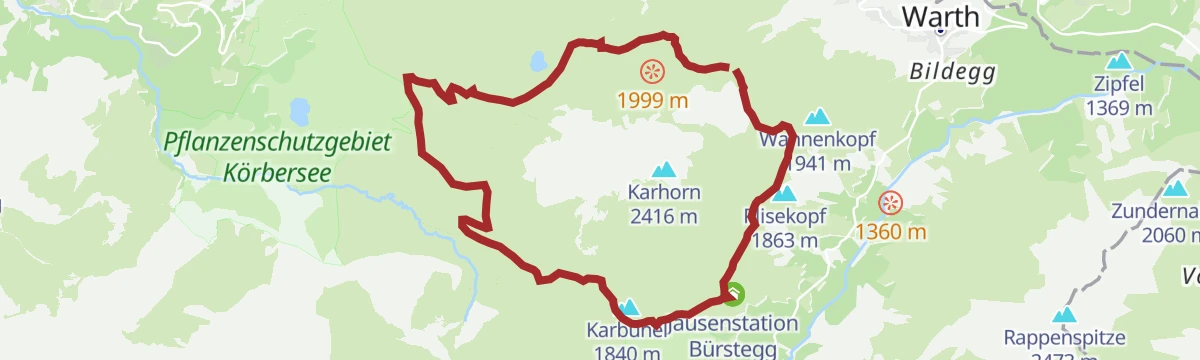
Warth-Schröcken | Wanderung rund um das Karhorn
Circuit under the walls of the Karhorn, going by Bürstegg to the Auenfeldsattel and back over the Salobersattel and the Hochalphütte.
- 13.6 km
- Distance
- 569 m
- Ascent
- 5 h 2 min
- Duration
- 65
- Check-ins
Arlberg Trail Stuben - Lech (Moderate Alternative)
The moderate line from Stuben to Lech still earns its distance, crossing the Flexenpass with stops possible at the Flexenhäusl and the Seekopf Restaurant above Zürs.
- 13.9 km
- Distance
- 997 m
- Ascent
- 6 h 36 min
- Duration
- 99
- Check-ins
Stubenbach - Rauer Kopf
From Stubenbach up the Rauer Kopf, a steady thousand metres above the Lech valley.
- 4.9 km
- Distance
- 0 m
- Ascent
- 0 m
- Descent
- 1 h 12 min
- Duration
Open route PeakVisor tTRL (OpenStreetMap piste_type=skitour)Schröcken - Karhorn
From Schröcken at 1,262 m, 1,123 m of ascent over 7.4 km to Karhorn.
- 6.3 km
- Distance
- 0 m
- Ascent
- 0 m
- Descent
- 1 h 32 min
- Duration
Open route PeakVisor tTRL (OpenStreetMap piste_type=skitour)Schröcken | Bike ab Schröcken
A short climb from the village up to the Auenfeldsattel, passing the Batzen Alpe and the Untere Auenfeldalpe on the saddle's flank.
- 7.3 km
- Distance
- 515 m
- Ascent
- 57 min
- Duration
- 25
- Check-ins
Schröcken | Bike & Hike Saladinaspitze (2.238 m)
A long approach from Schröcken past Gasthaus Älpele and up to the Freiburger Hütte, where the riding ends and the walking starts.
- 46.5 km
- Distance
- 1 541 m
- Ascent
- 5 h 31 min
- Duration
- 110
- Check-ins
Bike Trail Tirol Etappe 31
A stage linking the upper Lechtal with the Arlberg, crossing the Flexenpass above Lech and finishing high on the pass road.
- 34.7 km
- Distance
- 1 249 m
- Ascent
- 4 h 15 min
- Duration
- 89
- Check-ins
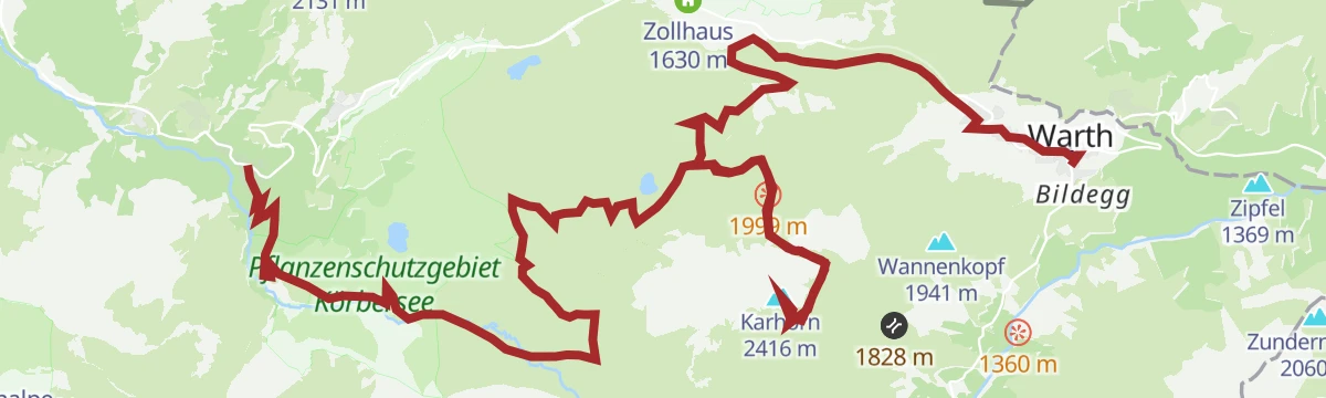
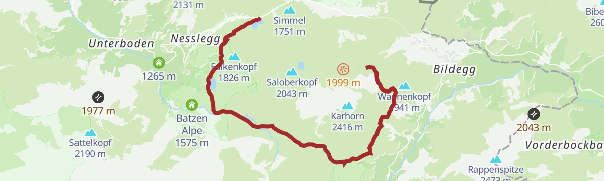
Warth | Vom Hochtannbergpass über den Körbersee nach Lech
Point-to-point from the Hochtannbergpass by the Körbersee, then across the Auenfeld meadows and over Oberlech down into Lech.
- 11.3 km
- Distance
- 287 m
- Ascent
- 3 h 33 min
- Duration
- 60
- Check-ins
Arlberg Trail Etappe Stuben - Lech (Originalroute)
The original Stuben-to-Lech stage of the three-day Arlberg circuit, climbing over the Flexenpass flank with the Seekopf Restaurant above Zürs as a mid-route landmark.
- 14.6 km
- Distance
- 1 222 m
- Ascent
- 7 h 48 min
- Duration
- 95
- Check-ins
Stubenbach - Südliche Wösterspitze
The direct line to the Südliche Wösterspitze from Stubenbach, steep for its length.
- 3.9 km
- Distance
- 0 m
- Ascent
- 0 m
- Descent
- 57 min
- Duration
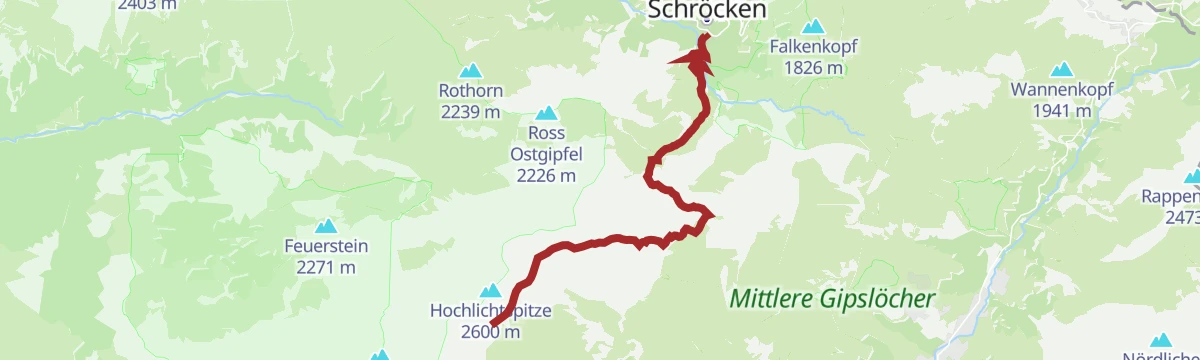
Open route PeakVisor tTRL (OpenStreetMap piste_type=skitour)Zug - Hochlichtspitze
From Zug to the Hochlichtspitze, climbing out of the Zugertal to well above 2,500 m.
- 6.3 km
- Distance
- 0 m
- Ascent
- 0 m
- Descent
- 1 h 33 min
- Duration
Open route PeakVisor tTRL (OpenStreetMap piste_type=skitour)Schröcken | Mohnenfluh (2.542 m)
A high mountain-bike crossing above Lech, over the Oberer Kriegersattel and up to the Mohnensattel at 2,316 m, passing the Butzensee.
- 10.5 km
- Distance
- 693 m
- Ascent
- 2 h 15 min
- Duration
- 25
- Check-ins
Schröcken | Formarinsee Mountainbikerunde
A wide mountain-bike loop from Schröcken through Lech, climbing to the Freiburger Hütte before the run back over the Auenfeld.
- 57.3 km
- Distance
- 1 604 m
- Ascent
- 6 h 36 min
- Duration
- 109
- Check-ins
Schröcken | Bike & Hike Rote Wand (2.704 m)
A long day out of the village: ride over the Auenfeldsattel towards Oberlech, then walk to the 2,704 m Rote Wand.
- 51.5 km
- Distance
- 2 209 m
- Ascent
- 6 h 36 min
- Duration
Open route Vorarlberg TourismusArlberg Trail Stuben - Lech (leichte Alternative)
From Stuben over the Flexenpass to Lech on the easiest of the stage variants, passing the Flexenhäusl and the Ambrosius Stube — a half-day crossing with modest climbing.
- 9.7 km
- Distance
- 438 m
- Ascent
- 3 h 22 min
- Duration
- 60
- Check-ins
Arlberg Trail Lech - St. Anton (leichte Alternative)
An alternative Lech-to-St. Anton stage that starts from the Rüfikopf, passes the Monzabonsee and crosses the Flexenpass terrain — shorter than the original but still a proper 1,100 m day.
- 22.7 km
- Distance
- 1 097 m
- Ascent
- 8 h 7 min
- Duration
- 84
- Check-ins
Zug - Mehlsack
1,156 m on skis from Zug to Mehlsack, 5.6 km with its high point at 2,644 m.
- 5.0 km
- Distance
- 0 m
- Ascent
- 0 m
- Descent
- 1 h 14 min
- Duration
Open route PeakVisor tTRL (OpenStreetMap piste_type=skitour)Zuger Alpe - Schneetalscharte
From the Zuger Alpe up to the Schneetalscharte, a thousand metres of climbing into the Lechquellen mountains.
- 6.4 km
- Distance
- 0 m
- Ascent
- 0 m
- Descent
- 1 h 34 min
- Duration
Open route PeakVisor tTRL (OpenStreetMap piste_type=skitour)Warth | Karhorn (2.416 m)
A direct climb beside the Steffisalp and Wartherhorn lifts to the saddle at 2,193 m below the Karhorn, 530 m of ascent in 5 km.
- 5.3 km
- Distance
- 583 m
- Ascent
- 1 h 20 min
- Duration
- 10
- Check-ins
Warth | Bike & Hike Karhorn (2.416 m)
A climb from the Tannberg to the Hochalphütte and the Hochalp Sennerei, with the last stretch up to the Karhorn done on foot.
- 22.4 km
- Distance
- 1 125 m
- Ascent
- 3 h 17 min
- Duration
- 109
- Check-ins
Stuttgarter Hütte - Ulmer Hütte
Short hut-to-hut link on the Robert-Bosch-Weg, traversing under the walls of the Roggspitze to the Trittscharte at 2,580 m and down to the Ulmer Hütte below the Valluga.
- 6.6 km
- Distance
- 445 m
- Ascent
- 3 h 2 min
- Duration
- 50
- Check-ins
Warth | Lechschleife "Walserpfade und Gipfelblicke - Wandern zwischen Gestern und Heute"
Loop through the Lech valley's Walser past: from Warth by the Wannensee to the old settlement of Bürstegg, then over the Auenfeldsattel into the Auenfeld.
- 15.4 km
- Distance
- 371 m
- Ascent
- 4 h 52 min
- Duration
- 68
- Check-ins
Zug - Spuller Schafberg
From Zug at 1,485 m, 1,162 m of ascent over 5.8 km to Spuller Schafberg.
- 5.4 km
- Distance
- 0 m
- Ascent
- 0 m
- Descent
- 1 h 19 min
- Duration
Open route PeakVisor tTRL (OpenStreetMap piste_type=skitour)Schröcken | Bike & Hike zum Formarinsee und Steinernes Meer
A long ride out of Schröcken by way of the Auenfeld and Lech, ending at the Freiburger Hütte high above the valley head.
- 46.0 km
- Distance
- 1 324 m
- Ascent
- 5 h 16 min
- Duration
- 104
- Check-ins
Lech Rüfikopfbahn - Stuttgarter Hütte
From the Rüfikopf cable car above Lech over the Monzabonjoch and the Rauekopfscharte to the Stuttgarter Hütte, just across the border in Tirol.
- 10.4 km
- Distance
- 273 m
- Ascent
- 3 h 43 min
- Duration
- 45
- Check-ins
Schröcken | Gipfeltour Braunarlspitze mit Übernachtung auf der Göppinger Hütte
Two-day summit trip over the Fürggele to the Braunarlspitze, where cabled rock and loose slate need care, then down by Zug to Lech with a night at the Göppinger Hütte.
- 21.8 km
- Distance
- 1 654 m
- Ascent
- 10 h 26 min
- Duration
- 44
- Check-ins
Zürs - Trittkopf
From Zürs to the Trittkopf, the peak that stands over the village to the west.
- 5.9 km
- Distance
- 0 m
- Ascent
- 0 m
- Descent
- 1 h 27 min
- Duration
Open route PeakVisor tTRL (OpenStreetMap piste_type=skitour)Warth | Bike & Hike Bürstegg
A bike-and-hike outing above Warth, riding to the Auenfeld alps and the Hochalp Sennerei before the walk over the Saloberkopf to Bürstegg.
- 22.5 km
- Distance
- 851 m
- Ascent
- 2 h 52 min
- Duration
- 104
- Check-ins
Warth | Rund um das Karhorn
Full lap of the Karhorn from the Steffisalp lift, over the Saloberkopf and through the Auenfeld to Bürstegg, then up past the gentian slopes of the Steiniges Bühel to the Wannenkopf.
- 12.2 km
- Distance
- 548 m
- Ascent
- 4 h 12 min
- Duration
- 40
- Check-ins
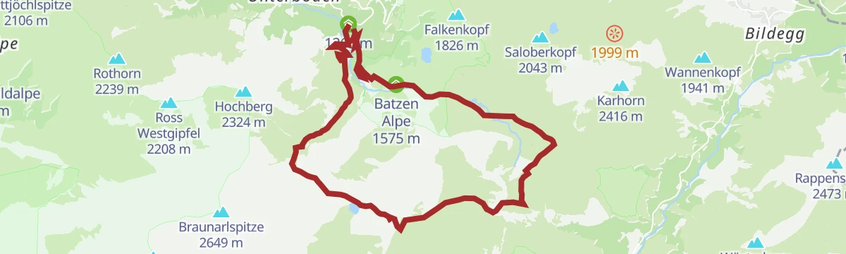
Schröcken | Butzenseerundweg
Big loop from Schröcken by the Alpe Felle to the Butzensee, up to the Mohnensattel and back through the Auenfeld, with the Mohnenfluh as an optional summit.
- 16.1 km
- Distance
- 1 072 m
- Ascent
- 7 h 13 min
- Duration
- 34
- Check-ins
Schröcken | Bike & Hike Juppenspitze (2.412 m)
A bike-and-hike route from Schröcken across the Auenfeld alps, riding as far as the Hochalphütte before the final walk to the summit.
- 30.5 km
- Distance
- 1 634 m
- Ascent
- 4 h 27 min
- Duration
- 97
- Check-ins
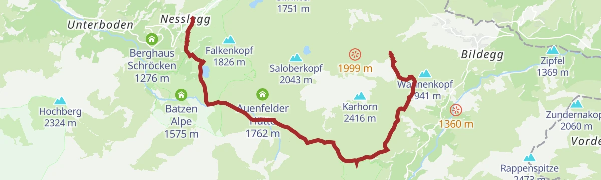
Warth | Vom Steffisalp-Express über Bürstegg zum Körbersee nach Schröcken/Nesslegg
Lift-assisted crossing by the Wannenkopf and Bürstegg, once the highest Walser settlement in Vorarlberg, then over the Auenfeldsattel and past the Körbersee down to Neßlegg.
- 9.8 km
- Distance
- 228 m
- Ascent
- 3 h 12 min
- Duration
- 39
- Check-ins
Schröcken | Von Schröcken zur Göppinger Hütte
A climb of 1,332 m from Schröcken by the Alpe Felle and the Butzensee, then on under the Braunarlspitze to the Göppinger Hütte.
- 11.0 km
- Distance
- 1 323 m
- Ascent
- 6 h 3 min
- Duration
- 6
- Check-ins
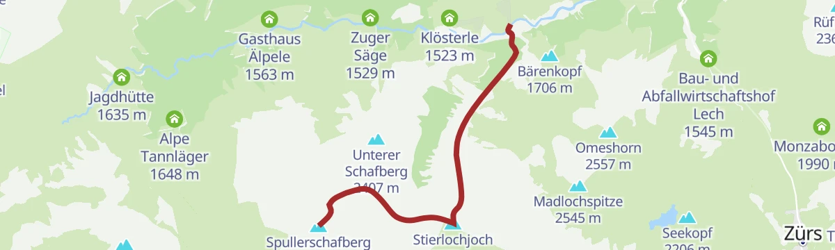
Schröcken | Spullersee Mountainbikerunde
A long loop from Schröcken via Lech and the Auenfeld towards Klösterle, with the Stierlochjoch as the high point of the ride.
- 51.4 km
- Distance
- 1 597 m
- Ascent
- 6 h 4 min
- Duration
- 92
- Check-ins
Warth-Schröcken | Zur Alpe Untere Auenfeld Lech
From the Steffisalp top station under the Warther Horn to Bürstegg, along the Auenfeld to the Untere Auenfeldalpe and out past the Körbersee to the Hochtannbergpass.
- 10.8 km
- Distance
- 303 m
- Ascent
- 3 h 29 min
- Duration
- 39
- Check-ins
3-Tages-Tour Biberacher und Göppinger Hütte (Etappe 2)
The high middle day between the Biberacher and the Göppinger huts, the whole stage above 1,800 m.
- 10.2 km
- Distance
- 1 005 m
- Ascent
- 5 h 26 min
- Duration
Open route Alpenregion VorarlbergSchröcken | Kriegerhorn Mountainbikerunde
A mountain-bike circuit from Schröcken over the Auenfeld into Lech, then up to the Kriegeralpe below the ridge.
- 31.2 km
- Distance
- 1 224 m
- Ascent
- 3 h 56 min
- Duration
- 90
- Check-ins
No routes of this kind in Lech yet.
The region's own picks

Featured route
Valluga - Stuttgarter Hütte 2.310m
From the Vallugagrat station a high path leads across to the Stuttgarter Hütte at 2,310 m — an easy way to reach a genuine alpine hut, with the summit lifts doing the climbing.
Planning a trip to Lech?
Everything else Vorarlberg has, in one place


Take Lech with you into the mountains
Every route on this page with 3D terrain, GPX navigation and offline maps — including the valleys with no signal.
Data sources
- Official website: arlberg.com ↗
- Routes and highlights: Warth-Schröcken Tourismus, PeakVisor / OpenStreetMap, St. Anton am Arlberg, PeakVisor tTRL (OpenStreetMap piste_type=skitour), Lechtal Tourismus, Vorarlberg Tourismus, Alpenregion Vorarlberg
- Published as open data by the tourist boards named above.
- Region summary generated from the board's own material.
