



















Curated by Lajen
Laion/Lajen
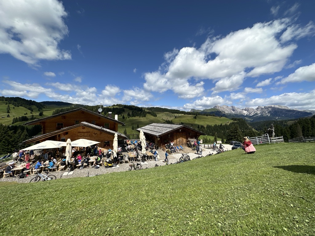
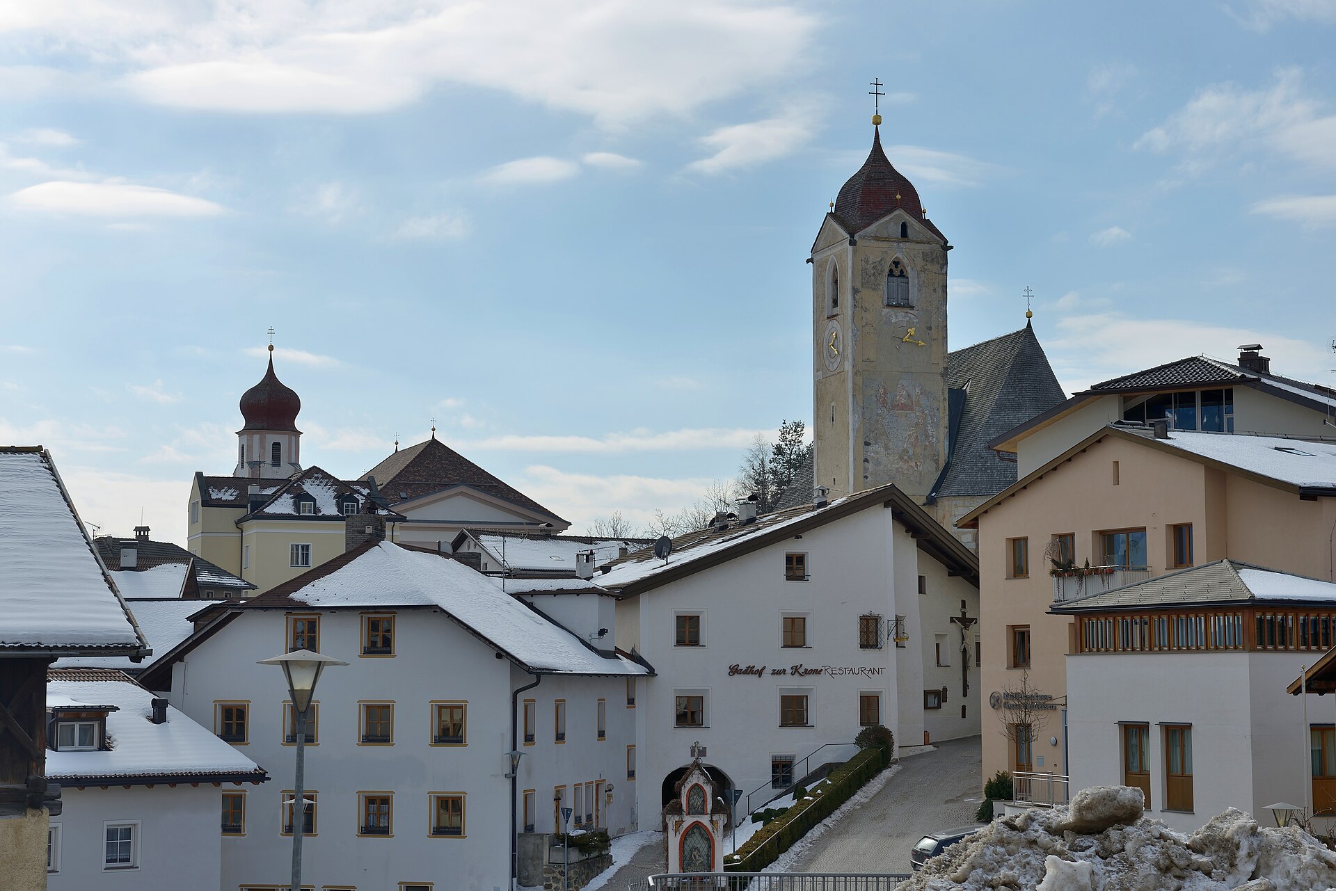
A terrace village at the entrance of the Val Gardena, below the Rasciesa ridge above the Isarco.
Photo: This Photo was taken by Wolfgang Moroder . Feel free to use my photos, but please mention me as the author and send me a message . This image is not in the public domain . Please respect the copyright protection. It may only be used according to the rules mentioned here. This specifically excludes use in social media , if applicable terms of the licenses listed here not appropriate. Please do not upload an updated image here without consultation with the Author. The author would like to make corrections only at his own source. This ensures that the changes are preserved. Please if you think that any changes should be required, please inform the author. Otherwise you can upload a new image with a new name. Please use one of the templates derivative or extract . · CC BY-SA 3.0 licence
- 1Highlights
- 46Routes
- Featured summit · Ausserraschötz
Highlights
14 from neighbouring places
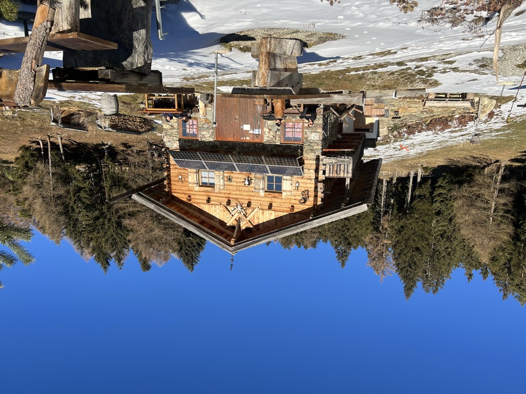
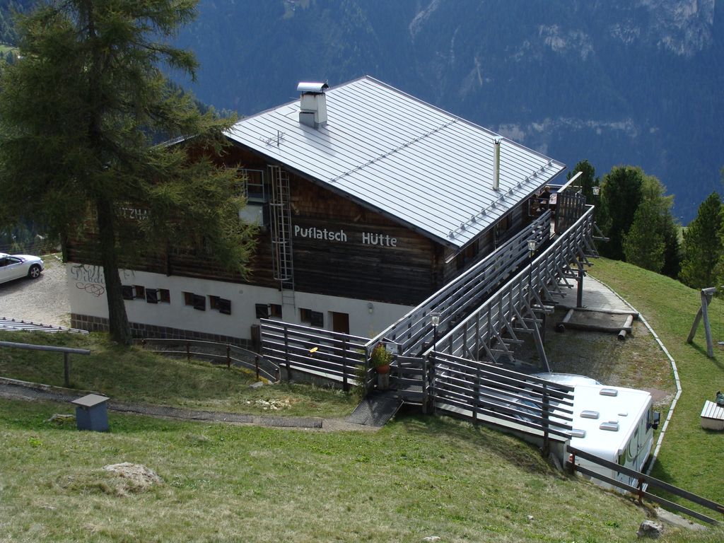
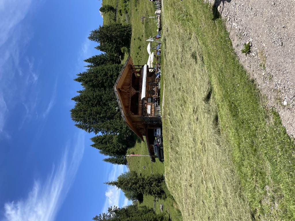
Unterpulghütte
A hut on the slopes above Laion, at the mouth of the Val Gardena in the Val Isarco.
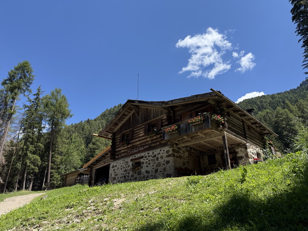
Sterzing, Pfitsch und FreienfeldMalga Schafstall
5.2 km away, in Castelrotto/Kastelruth
A hut at 1,500 m above Castelrotto, 15 minutes on path 9 from the Marinzen gondola top station, or on path 8 up from the village.
Sterzing, Pfitsch und FreienfeldRifugio Arnika
5.6 km away, in Castelrotto/Kastelruth
A hut at 2,059 m on the Bullaccia above Castelrotto, with a sun terrace and a children's playground, and in winter a ski taxi back to the Hexe piste.
Sterzing, Pfitsch und FreienfeldMalga Cason
6.4 km away, in Ortisei/St. Ulrich
A dairy hut on the pastures above Ortisei, in the Val Gardena, on the wooded slopes below the Rasciesa ridge.
Sterzing, Pfitsch und FreienfeldRifugio Dibaita
7 km away, in Castelrotto/Kastelruth
A hut at 1,974 m on the Alpe di Siusi, 20 minutes on foot from the centre of Compaccio, looking from the Sciliar massif across to the Ortles group.
Sterzing, Pfitsch und FreienfeldMalga Contrin
7.2 km away, in Castelrotto/Kastelruth
A pasture hut at just over 2,000 m on a sunny rise of the Alpe di Siusi above Castelrotto, passed by the Alta Via delle Dolomiti n. 8.
Alpe di Siusi
7.9 km away, in Castelrotto/Kastelruth
Europe's largest high alpine meadow above Castelrotto, at 1,700-2,300 m below the Sciliar.
Sanonhütte
8.1 km away, in Castelrotto/Kastelruth
One of the most traditional huts on the Alpe di Siusi, at 1,851 m above Castelrotto, run as a family house and reached on foot or by mountain bike.
Sterzing, Pfitsch und FreienfeldMalga Gostner Schwaige
8.3 km away, in Castelrotto/Kastelruth
A pasture hut at 1,911 m on the Alpe di Siusi above Castelrotto, on the meadows along the way from Compaccio towards Saltria.
Malga Gostner
8.3 km away, in Castelrotto/Kastelruth
A dairy hut at 1,911 m on the Alpe di Siusi making its own cheese, about 30 minutes up path 3 from Compaccio, with hay soup served in a bread crust.
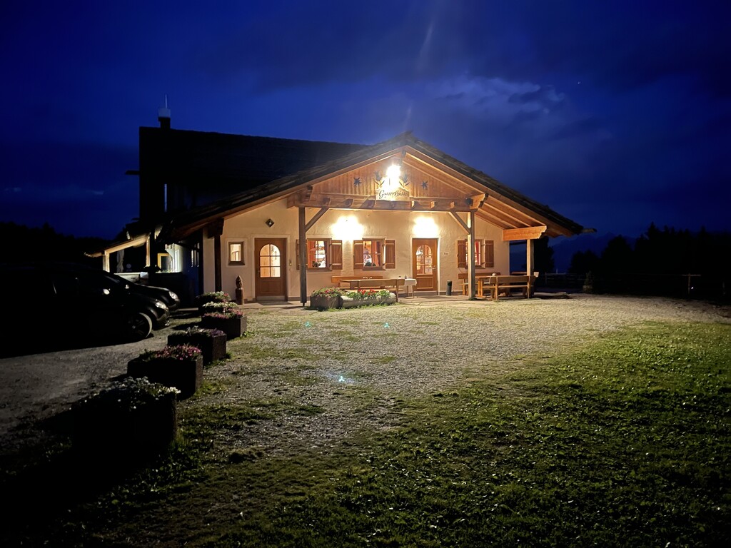
Gasser Hütte
9 km away, in Villandro/Villanders
A hut on the Alpe di Villandro above Villandro, one of the wide grazing plateaux of the Alpi Sarentine.
Malghetta Sciliar
9.8 km away, in Castelrotto/Kastelruth
A small hut at 1,693 m on the shelf below the Sciliar, on the Castelrotto side of the massif and beside the geological trail.
Malga Mair in Plun
10.2 km away, in Villandro/Villanders
A dairy hut on the Alpe di Villandro, on the pastures above Villandro in the Val Isarco.
Sterzing, Pfitsch und FreienfeldMalga Radauer
10.4 km away, in Castelrotto/Kastelruth
A hut at 1,686 m on the Alpe di Siusi, five minutes from the Saltria bus stop and beside the valley station of the Florian chairlift, open summer and winter.
Sterzing, Pfitsch und FreienfeldCaseificio Malga Saltner Saltria
10.5 km away, in Castelrotto/Kastelruth
A dairy hut at 1,740 m at Saltria on the Alpe di Siusi, open from early December to Easter and again from Whitsun to mid-October.
Nothing of this kind in Laion/Lajen.
Routes
Lajen/Laion - Waidbruck/Ponte Gardena
A family descent from Laion by Novale to Ponte Gardena, birthplace of the minnesinger Walther von der Vogelweide.
- 4.2 km
- Distance
- 0 m
- Ascent
- 1 h 40 min
- Duration
- 12
- Check-ins
 Vogelweiderhof 812 m
- Tourismusverein Lajen - Associazione Turistica di Laion 1 095 m
- Burgstallerhäusl 622 m
- Tourist Info 1 102 m
- Unterfinser Buschenschank 662 m
Open route LajenRasciesa di Fuori - San Pietro
A high walk over the Rasciesa meadows above Ortisei, dropping to San Pietro with the Dolomites round the whole horizon.
- 12.9 km
- Distance
- 163 m
- Ascent
- 4 h 23 min
- Duration
- 143
- Check-ins
 Ausserraschötz 2 283 m
- Utia Resciesa - Schutzhütte Raschötz - Rifugio Resciesa 2 170 m
- Cason 2 115 m
- Chalet Resciesa 2 099 m
- Plankl-Alm 1 518 m
- Nuflatsch 1 454 m
- +2
Open route LajenLaion - Resciesa circular hiking tour
A long circuit for fit walkers from Laion up onto the Resciesa pasture at the mouth of the Val Gardena, facing the Dolomites.
- 27.3 km
- Distance
- 1 294 m
- Ascent
- 9 h 38 min
- Duration
- 105
- Check-ins
- Utia Resciesa - Schutzhütte Raschötz - Rifugio Resciesa 2 170 m
- Cason 2 115 m
- Chalet Resciesa 2 099 m
- Pedrutscherhof 1 270 m
- Tourismusverein Lajen - Associazione Turistica di Laion 1 095 m
- Oberfelsonnerhof 1 214 m
- +6
Open route LajenBike - Tour Laion
A varied circuit above Lajen through woods and meadows, with repeated ups and downs and an optional extra climb to the Unterpulghütte.
- 15.9 km
- Distance
- 903 m
- Ascent
- 2 h 25 min
- Duration
- 24
- Check-ins
- Unterpulghütte 1 555 m
- Gnollhof 1 164 m
- Tourismusverein Lajen - Associazione Turistica di Laion 1 095 m
 Punholzweiher 1 352 m
- Bonichhof 1 143 m
- Tourist Info 1 102 m
- +1
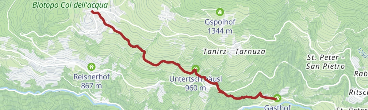
Open route LajenLaion - Restaurant Stern
An almost level link from the centre of Lajen past the Tantscherhof, crossing the Chiusa-Pontives road to the inn at 822 m.
- 3.8 km
- Distance
- 0 m
- Ascent
- 26 min
- Duration
- 6
- Check-ins
- Gasthof Stern 822 m
- Tourismusverein Lajen - Associazione Turistica di Laion 1 095 m
- Tourist Info 1 102 m
- Untertsch.häusl 960 m
Open route LajenHiking from Laion to the pond Punholz
A family walk from Laion through fields, wood and farmland to the small pond at Punholz.
- 4.8 km
- Distance
- 255 m
- Ascent
- 1 h 50 min
- Duration
- 7
- Check-ins
- Tourismusverein Lajen - Associazione Turistica di Laion 1 095 m
- Punholzweiher 1 352 m
- Bonichhof 1 143 m
- Tourist Info 1 102 m
Open route LajenResciesa to Fraina
A traverse of the Resciesa plateau above Ortisei, descending to Fraina, with the Dolomites in view for most of the way.
- 12.4 km
- Distance
- 206 m
- Ascent
- 4 h 19 min
- Duration
- 138
- Check-ins
- Ausserraschötz 2 283 m
- Utia Resciesa - Schutzhütte Raschötz - Rifugio Resciesa 2 170 m
- Cason 2 115 m
- Chalet Resciesa 2 099 m
 Tschatterlin-Sattel - Sella Ciatterlin 1 973 m
- Solerhof 1 130 m
Open route LajenRaschötz Circular Trail in Lajen
A long circuit from Laion onto the Rasciesa ridge above the Val Gardena, with a big height gain on forest paths.
- 25.5 km
- Distance
- 1 316 m
- Ascent
- 9 h 32 min
- Duration
- 62
- Check-ins
- Utia Resciesa - Schutzhütte Raschötz - Rifugio Resciesa 2 170 m
- Unterpulghütte 1 555 m
- Pedrutscherhof 1 270 m
- Tourismusverein Lajen - Associazione Turistica di Laion 1 095 m
- Bonichhof 1 143 m
- Oberfelsonnerhof 1 214 m
- +3
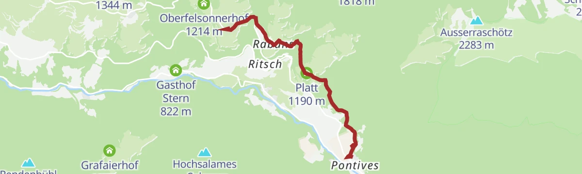
Open route Valle Isarco - EisacktalS.Pietro - Pontives
A short link from the church at San Pietro on farm lanes and a forest road by the Plankl Höfe down to the Pontives workshops.
- 3.7 km
- Distance
- 60 m
- Ascent
- 26 min
- Duration
- 2
- Check-ins
Open route LajenCircular hike Kasserol
A short loop at Kasserol above Laion, past a few old landmarks with the Isarco valley below.
- 2.7 km
- Distance
- 85 m
- Ascent
- 51 min
- Duration
- 3
- Check-ins
Open route LajenFrom Resciesa to Laion
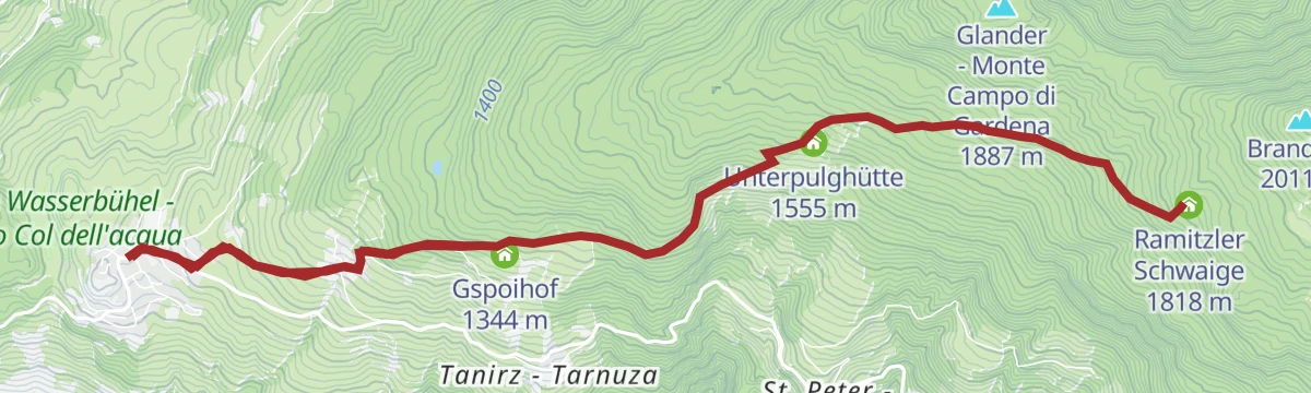
A crossing of the Resciesa meadows by the Holy Cross chapel and trail 35 to the Ramitzler Schwaige, then Unterpulg and the Punholz pond to Laion.
- 13.6 km
- Distance
- 351 m
- Ascent
- 4 h 46 min
- Duration
- 107
- Check-ins
- Utia Resciesa - Schutzhütte Raschötz - Rifugio Resciesa 2 170 m
- Cason 2 115 m
- Chalet Resciesa 2 099 m
- Unterpulghütte 1 555 m
- Tourismusverein Lajen - Associazione Turistica di Laion 1 095 m
- Punholzweiher 1 352 m
- +4
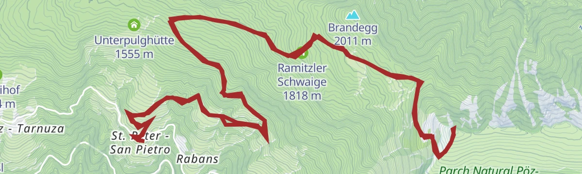
Open route LajenFrom San Pietro to Resciesa
A long climb from San Pietro through meadow and wood onto the Resciesa ridge and the summit of Rasciesa di Fuori.
- 19.3 km
- Distance
- 1 074 m
- Ascent
- 7 h 36 min
- Duration
- 52
- Check-ins
- Ausserraschötz 2 283 m
- Ramitzler Schwaige 1 818 m
- Tschatterlin-Sattel - Sella Ciatterlin 1 973 m
- Appartements Prantschur 1 317 m
Open route LajenFrom Laion to Tanurza
A meadow walk from Laion out to Tanurza, back on the old Poststeig between Laion and Ortisei; best in spring or autumn.
- 5.7 km
- Distance
- 184 m
- Ascent
- 1 h 48 min
- Duration
- 3
- Check-ins
Open route LajenOberflitz - Raschötz
A circuit up to the Resciesa ridge above Ortisei, crossing the Flitzer Scharte notch, with views over Val Gardena and the Villnöss valley.
- 13.4 km
- Distance
- 867 m
- Ascent
- 5 h 54 min
- Duration
- 49
- Check-ins
- Utia Resciesa - Schutzhütte Raschötz - Rifugio Resciesa 2 170 m
- Flitzer Scharte - Lacia da Fliz - Forcella di Valluzza 2 107 m
- Tschatterlin-Sattel - Sella Ciatterlin 1 973 m
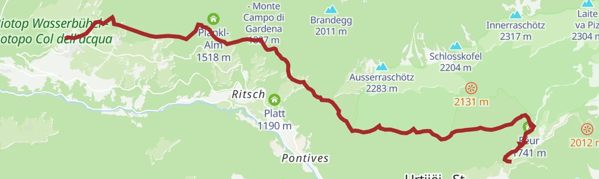
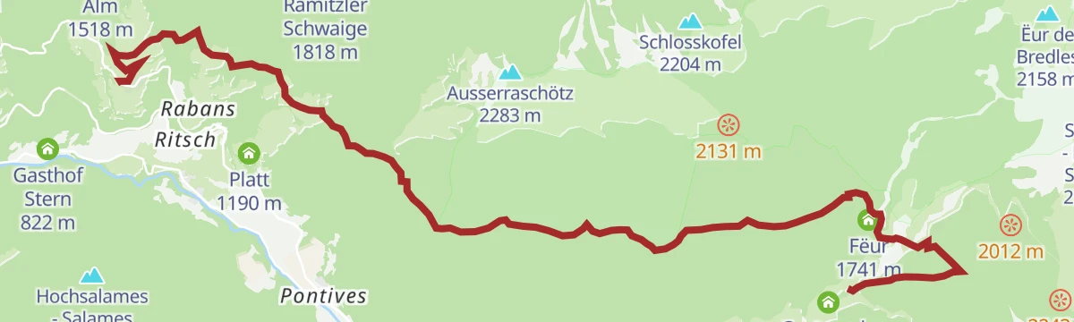
Open route VillnössLajen/Laion-Noflatsch-Troi Paian-Costamula
A demanding day from Laion over Noflatsch onto the Troi Paian, the old high road that ran from the Isarco valley to the Venetian plain.
- 14.9 km
- Distance
- 1 001 m
- Ascent
- 5 h 55 min
- Duration
- 38
- Check-ins
- Costamula 1 536 m
- Fëur 1 741 m
- Tourismusverein Lajen - Associazione Turistica di Laion 1 095 m
- Bonichhof 1 143 m
- Nuflatsch 1 454 m
- Tourist Info 1 102 m
- +1
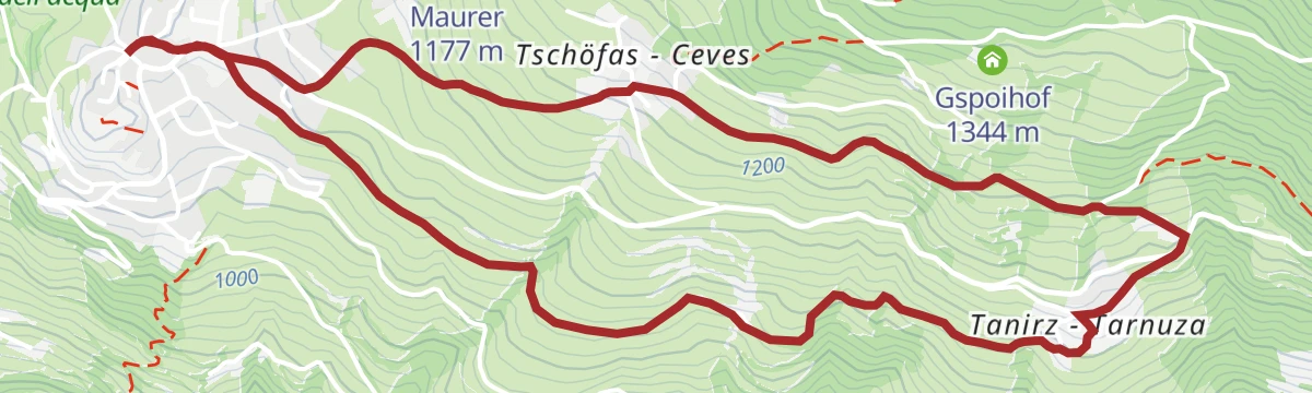
Open route LajenFrom Lajen to Tanirz
A short walk from Laion across the hay meadows to the hamlet of Tanurza on the sunny slope above the valley.
- 5.6 km
- Distance
- 198 m
- Ascent
- 1 h 48 min
- Duration
- 3
- Check-ins
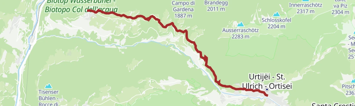
Open route Valle Isarco - EisacktalOn the postal trail from Lajen to St. Ulrich
The old postal path from Laion over into the Val Gardena, ending at Ortisei on the route once walked by the valley's postmen.
- 13.6 km
- Distance
- 659 m
- Ascent
- 4 h 27 min
- Duration
- 37
- Check-ins
- Tourist Office Ortisei 1 238 m
- Reisnerhof 867 m
- Pedrutscherhof 1 270 m
- Tourismusverein Lajen - Associazione Turistica di Laion 1 095 m
- Oberfelsonnerhof 1 214 m
- Tourist Info 1 102 m
- +1
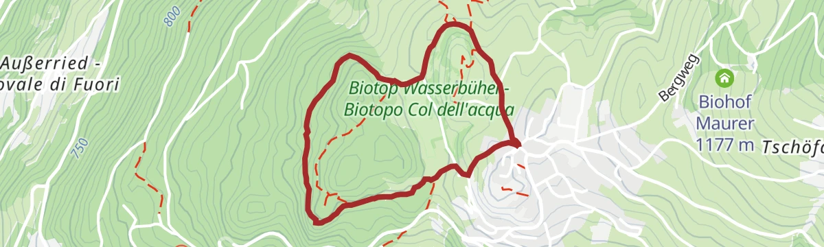
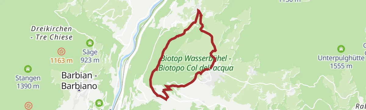
Open route Valle Isarco - EisacktalWasserbühel Circuit in Lajen
A short loop at Laion around the Wasserbühel hill, where traces of early settlement have been found.
- 1.4 km
- Distance
- 35 m
- Ascent
- 25 min
- Duration
- 3
- Check-ins
Open route Valle Isarco - EisacktalPost Trail
A historic path from Laion towards the Val Gardena by Ceves, Tanurza and San Pietro, on routes that postmen and traders once used.
- 11.9 km
- Distance
- 378 m
- Ascent
- 3 h 37 min
- Duration
- 32
- Check-ins
- Tourist Office Ortisei 1 238 m
- Pedrutscherhof 1 270 m
- Tourismusverein Lajen - Associazione Turistica di Laion 1 095 m
- Oberfelsonnerhof 1 214 m
- Tourist Info 1 102 m
- Federer Türen 1 183 m
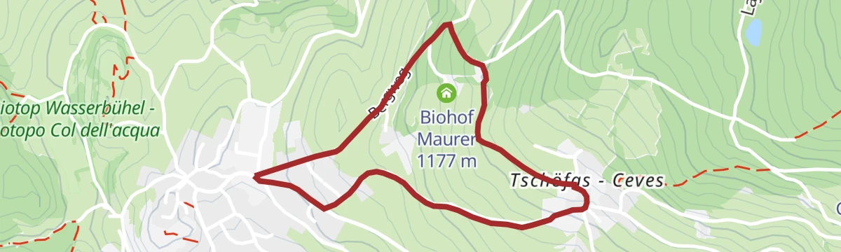
Open route LajenVon Lajen nach Tschöfas
A short, gentle walk from Laion over to Ceves on the terraces above the Isarco valley.
- 2.6 km
- Distance
- 117 m
- Ascent
- 53 min
- Duration
- 2
- Check-ins
Open route Valle Isarco - EisacktalPost trail - alternative
A variant of the Poststeig, the path the postman used to carry mail into the Val Gardena before the road was built.
- 12.0 km
- Distance
- 387 m
- Ascent
- 3 h 39 min
- Duration
- 29
- Check-ins
- Tourist Office Ortisei 1 238 m
- Tourismusverein Lajen - Associazione Turistica di Laion 1 095 m
- Oberfelsonnerhof 1 214 m
- Tourist Info 1 102 m
- Platt 1 190 m
- Federer Türen 1 183 m
Open route LajenLegian 998 - Adventure trail
A one-hour family trail from the square at Laion, following a timeline into the Stone and Bronze Ages with wooden tents and animals in the wood.
- 1.6 km
- Distance
- 42 m
- Ascent
- 28 min
- Duration
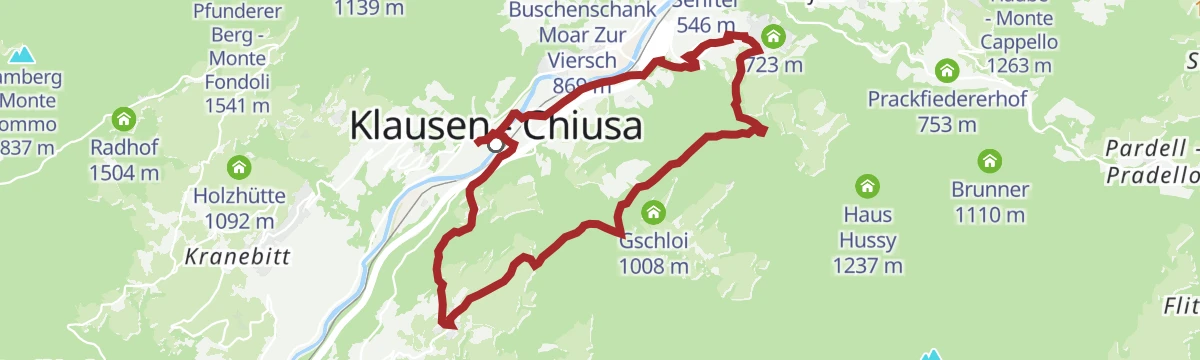
Open route LajenCircular hike from Klausen via Albions to Gufidaun
A circuit from Chiusa up to Albions and across to the village of Gudon, returning down the terraced slopes above the Isarco.
- 11.9 km
- Distance
- 518 m
- Ascent
- 4 h 5 min
- Duration
- 24
- Check-ins
Open route Valle Isarco - EisacktalMitterweg
A meadow path on the slopes above Laion, returning on the centuries-old Poststeig; at its best in spring or autumn.
- 5.2 km
- Distance
- 210 m
- Ascent
- 1 h 44 min
- Duration
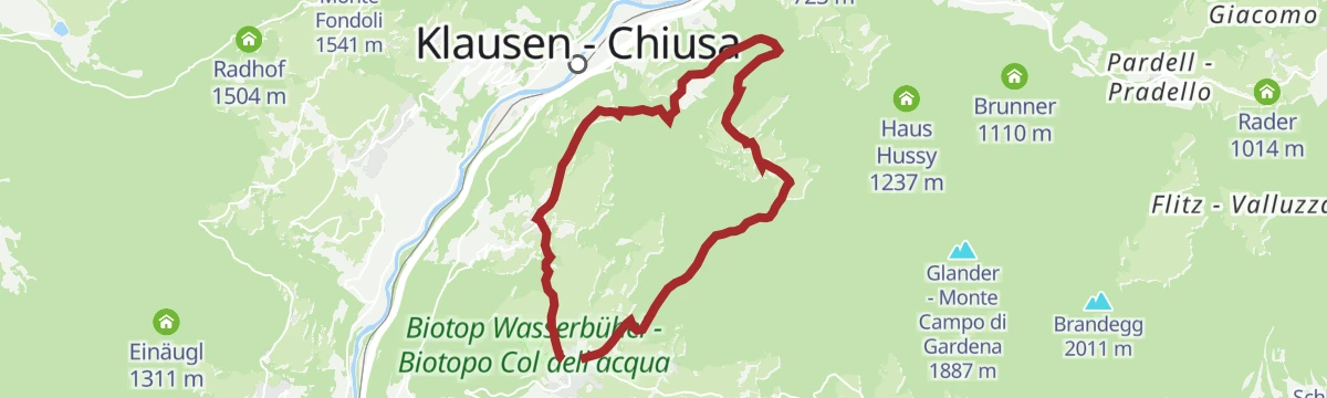
Open route LajenKlausen - Albions - Fonteklaus - Gufidaun - Klausen
A circuit from the parish church in Chiusa past the Dürer stone up to Albions, then down into the Löchl valley by Fonteklaus to Gudon.
- 12.0 km
- Distance
- 500 m
- Ascent
- 4 h 3 min
- Duration
- 24
- Check-ins
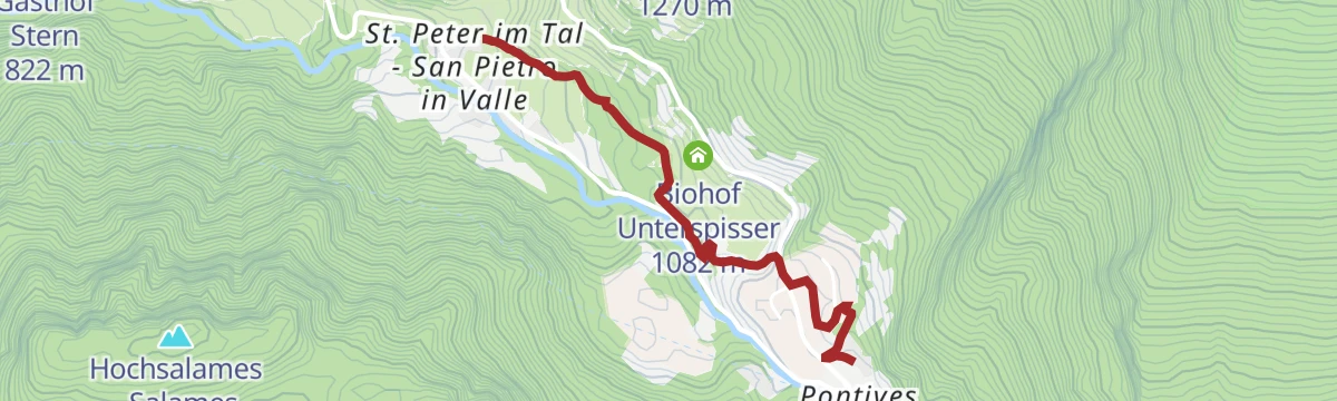
Open route Klausen, Barbian, Villanders, FeldthurnsS. Pietro in Valle - Pontives
A walk from the Maringerhof at San Pietro through forest to Pontives, past the ice springs where the village brewery once kept its beer.
- 2.2 km
- Distance
- 162 m
- Ascent
- 48 min
- Duration
Open route LajenTörggele hike Klausen - Gufidaun
An autumn walk from Chiusa up to Gudon, calling at the farm inns that serve new wine and chestnuts in the Törggelen season.
- 10.3 km
- Distance
- 456 m
- Ascent
- 3 h 33 min
- Duration
- 24
- Check-ins
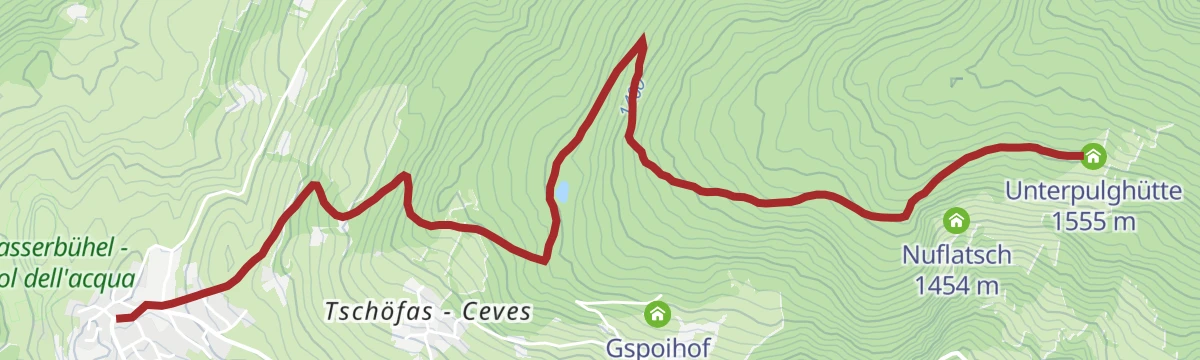
Open route Klausen, Barbian, Villanders, FeldthurnsPost trail - Unterpulg hut
A walk from Laion by Ceves up to the Unterpulg hut, then across to Pedrutsch and home on the old postal path, with the Dolomites in view.
- 14.0 km
- Distance
- 660 m
- Ascent
- 4 h 56 min
- Duration
- 23
- Check-ins
- Unterpulghütte 1 555 m
- Pedrutscherhof 1 270 m
- Tourismusverein Lajen - Associazione Turistica di Laion 1 095 m
- Plankl-Alm 1 518 m
- Oberfelsonnerhof 1 214 m
- Nuflatsch 1 454 m
- +3
Open route LajenVia Unterpulg to Pedrutsch
A climb from Laion to the Unterpulg hut and across to Pedrutsch, on forest tracks above the Val Gardena.
- 14.0 km
- Distance
- 641 m
- Ascent
- 4 h 52 min
- Duration
- 23
- Check-ins
- Unterpulghütte 1 555 m
- Pedrutscherhof 1 270 m
- Tourismusverein Lajen - Associazione Turistica di Laion 1 095 m
- Plankl-Alm 1 518 m
- Oberfelsonnerhof 1 214 m
- Nuflatsch 1 454 m
- +3
Open route Valle Isarco - EisacktalHiking Circuit from Klausen to Gufidaun via Albions and back
A loop above Chiusa by Albions to the village of Gudon and back, passing the stone that marks Albrecht Dürer's journey through the valley.
- 11.8 km
- Distance
- 517 m
- Ascent
- 4 h 2 min
- Duration
- 20
- Check-ins
Open route BrixenSan Pietro-Croce Pineid-Unterpulg Hut-San Pietro
A family circuit from San Pietro by the Pineid cross and a small pond up to the Unterpulg hut and back.
- 10.4 km
- Distance
- 544 m
- Ascent
- 3 h 55 min
- Duration
- 19
- Check-ins
- Unterpulghütte 1 555 m
- Pedrutscherhof 1 270 m
- Plankl-Alm 1 518 m
- Oberfelsonnerhof 1 214 m
- Nuflatsch 1 454 m
- Federer Türen 1 183 m
- +1
Open route LajenFrom Laion to the Unterpulg hut and Ramitzler Schwaige hut
A climb from Laion by Ceves to the Unterpulg hut and on to the Ramitzler Schwaige, facing the Dolomites across the valley.
- 12.3 km
- Distance
- 720 m
- Ascent
- 5 h 1 min
- Duration
- 18
- Check-ins
- Unterpulghütte 1 555 m
- Tourismusverein Lajen - Associazione Turistica di Laion 1 095 m
- Plankl-Alm 1 518 m
- Nuflatsch 1 454 m
- Ramitzler Schwaige 1 818 m
- Tourist Info 1 102 m
- +1
Open route LajenAlpine Trail Ramitzl
A steady climb past the Unterpulg turn-off to the Ramitzler Schwaige, from where the summit of Rasciesa di Fuori can be added on foot.
- 7.3 km
- Distance
- 735 m
- Ascent
- 3 h 9 min
- Duration
- 17
- Check-ins
- Unterpulghütte 1 555 m
- Tourismusverein Lajen - Associazione Turistica di Laion 1 095 m
- Punholzweiher 1 352 m
- Bonichhof 1 143 m
- Ramitzler Schwaige 1 818 m
- Tourist Info 1 102 m
Open route LajenAlpine Trail Unterpulg
A forest climb of five kilometres to the Unterpulg hut, where the view opens to the Sciliar and the upper Val Gardena.
- 5.1 km
- Distance
- 461 m
- Ascent
- 2 h 2 min
- Duration
- 15
- Check-ins
- Unterpulghütte 1 555 m
- Tourismusverein Lajen - Associazione Turistica di Laion 1 095 m
- Punholzweiher 1 352 m
- Bonichhof 1 143 m
- Tourist Info 1 102 m
Open route LajenLaion-Noflatsch-Pedrutsch-sentiero della posta-Mitterweg-Laion
A day-long family circuit from Laion by Noflatsch to the Pedrutsch hut, back on the postal path and the Mitterweg.
- 14.7 km
- Distance
- 625 m
- Ascent
- 5 h 1 min
- Duration
- 15
- Check-ins
- Pedrutscherhof 1 270 m
- Tourismusverein Lajen - Associazione Turistica di Laion 1 095 m
- Bonichhof 1 143 m
- Oberfelsonnerhof 1 214 m
- Nuflatsch 1 454 m
- Tourist Info 1 102 m
- +2
Open route LajenLajen/Laion - Albions - Chiusa/Klausen
A downhill link from Laion by Albions to Chiusa, across the sunny terraces above the Isarco valley.
- 9.5 km
- Distance
- 167 m
- Ascent
- 3 h 10 min
- Duration
- 14
- Check-ins
Open route LajenLajen/Laion - Albions - Ansitz Lusenegg - Ried/Novale - Lajen/Laion
A family loop from Laion to Albions and the Lusenegg manor, returning by Novale to the village.
- 10.0 km
- Distance
- 531 m
- Ascent
- 3 h 49 min
- Duration
- 10
- Check-ins
- Vogelweiderhof 812 m
- Tourismusverein Lajen - Associazione Turistica di Laion 1 095 m
- Tourist Info 1 102 m
- Wieshof 973 m
Open route LajenWalther v.d. Vogelweide Circular Hiking Tour
A circuit between Laion, Novale and Albions named for Walther von der Vogelweide, the medieval minstrel, with inns along the way for a rest.
- 6.9 km
- Distance
- 386 m
- Ascent
- 2 h 44 min
- Duration
- 10
- Check-ins
- Vogelweiderhof 812 m
- Tourismusverein Lajen - Associazione Turistica di Laion 1 095 m
- Tourist Info 1 102 m
- Wieshof 973 m
Open route LajenWalther-von-der-Vogelweide Circular Trail in Lajen
A loop above Laion through Novale and Albions, dedicated to the medieval poet Walther von der Vogelweide.
- 7.6 km
- Distance
- 399 m
- Ascent
- 2 h 53 min
- Duration
- 10
- Check-ins
- Vogelweiderhof 812 m
- Tourismusverein Lajen - Associazione Turistica di Laion 1 095 m
- Tourist Info 1 102 m
- Wieshof 973 m
Open route Valle Isarco - EisacktalLaion - Albions - Fraina - Laion
An easy family circuit from Laion through woods and meadows, out to Albions and Freins and back down to the village.
- 11.8 km
- Distance
- 588 m
- Ascent
- 4 h 19 min
- Duration
- 9
- Check-ins
- Tourismusverein Lajen - Associazione Turistica di Laion 1 095 m
- Bonichhof 1 143 m
- Ansitz Fonteklaus 899 m
- Tourist Info 1 102 m
- Wieshof 973 m
- Tscherluierhof 1 063 m
- +3
Open route LajenSan Pietro in Valle - Unterpulg Hut
A steady climb through woodland and hay meadows above Laion, from San Pietro in Valle up to the Unterpulghütte.
- 6.9 km
- Distance
- 636 m
- Ascent
- 2 h 52 min
- Duration
- 6
- Check-ins
Open route LajenCircular hike to Ansitz Lusenegg
A loop across the farmed terraces of the Laion hillside to the Ansitz Lusenegg manor, gentle enough for families.
- 7.4 km
- Distance
- 361 m
- Ascent
- 2 h 40 min
- Duration
- 4
- Check-ins
Open route LajenTroi Paian
The Laion to Ortisei stage of an ancient trade route linking the Isarco valley with the Dolomites, in use since the Bronze Age.
- 12.3 km
- Distance
- 768 m
- Ascent
- 4 h 36 min
- Duration
- 4
- Check-ins
Open route LajenTo the Castel Forte
A walk on old field paths above Ponte Gardena to Castel Forte, once held by the Wolkenstein lords, with the Isarco valley below.
- 9.5 km
- Distance
- 365 m
- Ascent
- 3 h 49 min
- Duration
- 3
- Check-ins
Open route LajenFom Albions to Gudon
A traverse of the sunny terraces on the flank of the Isarco valley, from the hamlet of Albions across to Gudon.
- 12.3 km
- Distance
- 497 m
- Ascent
- 4 h 6 min
- Duration
- 2
- Check-ins
Open route LajenVon Albions zum Ansitz Fonteklaus
A medium walk from Albions above Laion to the Ansitz Fonteklaus, a manor on the wooded flank of the Isarco valley.
- 7.8 km
- Distance
- 318 m
- Ascent
- 2 h 37 min
- Duration
- 2
- Check-ins
Open route Valle Isarco - Eisacktal
No routes of this kind in Laion/Lajen yet.
The region's own picks

Featured route
Lajen/Laion - Waidbruck/Ponte Gardena
A family descent from Laion by Novale to Ponte Gardena, birthplace of the minnesinger Walther von der Vogelweide.
Planning a trip to Laion/Lajen?
Everything else Trentino-Alto Adige/Südtirol has, in one place


Take Laion/Lajen with you into the mountains
Every route on this page with 3D terrain, GPX navigation and offline maps — including the valleys with no signal.
Data sources
- Official website: suedtirol.info ↗
- Routes and highlights: Lajen, Sterzing, Pfitsch und Freienfeld, Valle Isarco - Eisacktal, YesAlps, Klausen, Barbian, Villanders, Feldthurns, Italia.it, Villnöss, Brixen
- Published as open data by the tourist boards named above.
- Region summary generated from the board's own material.
